The best road cycling routes around Norddal
4.8
(28)
791
riders
12
rides
Road cycling around Norddal offers a challenging experience through dramatic fjord and mountain landscapes. The region is part of the UNESCO World Heritage area of the West Norwegian Fjords, featuring deep fjords, towering mountains, and lush valleys. Cyclists encounter demanding mountain rides with significant elevation gains, including iconic climbs with hairpin bends. The terrain primarily consists of paved surfaces, providing varied routes for road cyclists.
Best road cycling routes around Norddal
- The most popular road cycling route is Trollstigen Mountain…
Last updated: October 12, 2026
4.5
(2)
71
riders
109km
05:41
1,980m
1,980m
Hard road ride. Very good fitness required. Mostly well-paved surfaces and easy to ride.
5.0
(5)
155
riders
46.2km
03:09
1,600m
1,600m
Hard road ride. Very good fitness required. Mostly well-paved surfaces and easy to ride.

5.0
(5)
145
riders
58.0km
03:24
1,420m
1,420m
Hard road ride. Very good fitness required. Mostly well-paved surfaces and easy to ride.
4.5
(2)
62
riders
17.2km
01:10
570m
580m
Moderate road ride. Good fitness required. Mostly well-paved surfaces and easy to ride.
44
riders
30.1km
02:09
1,050m
1,050m
Hard road ride. Very good fitness required. Some segments of this route may be unpaved and difficult to ride.
Get access to more routes and recommendations from other explorers.
Already have an account?
Our route recommendations are based on thousands of hikes, rides, and runs completed by other people on komoot.
Start today with a free account
Your next adventure awaits.
Popular around Norddal
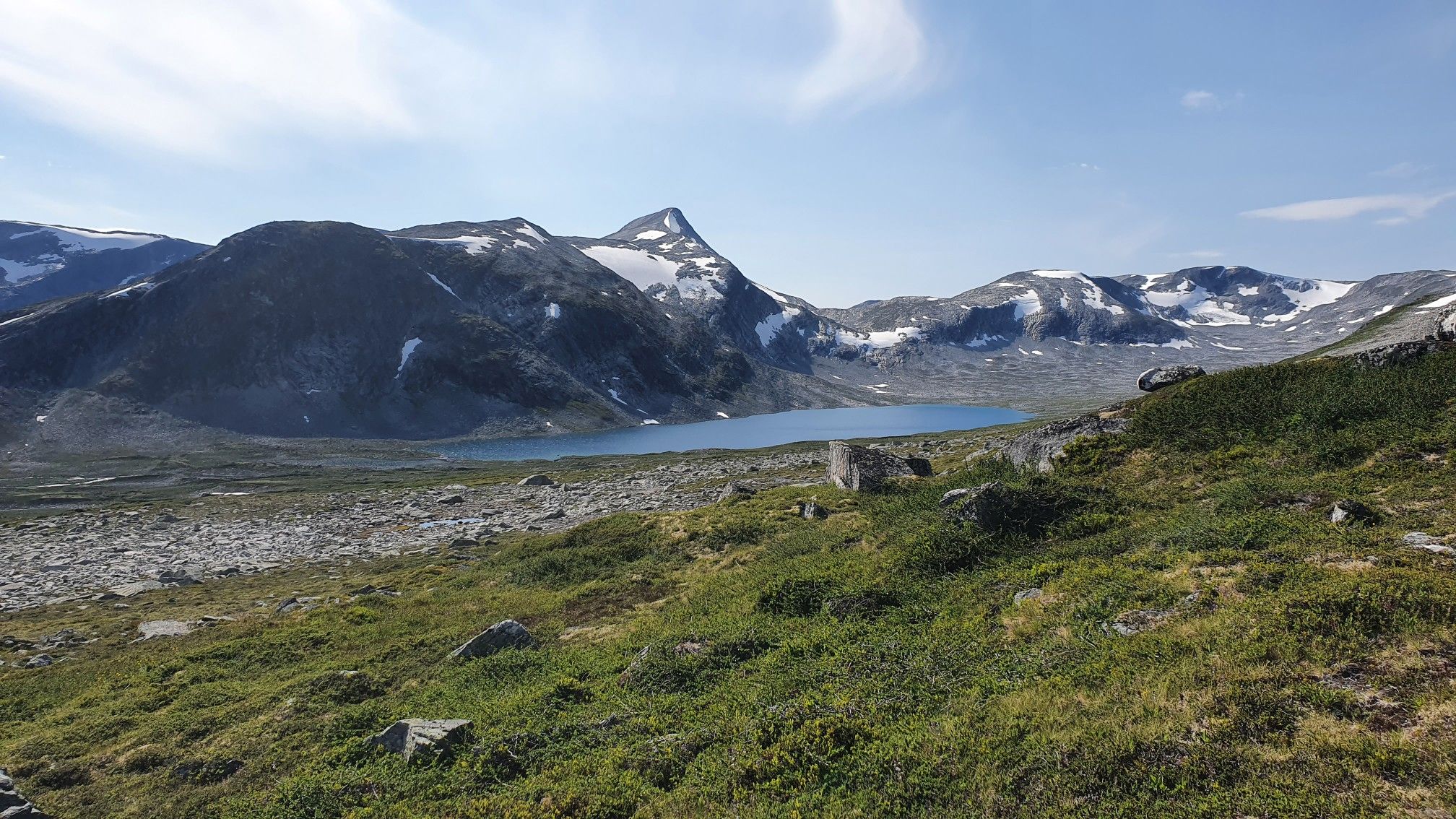
SignaTUR i Tafjordfjella – Into Møre og Romsdal's mountainous wilds
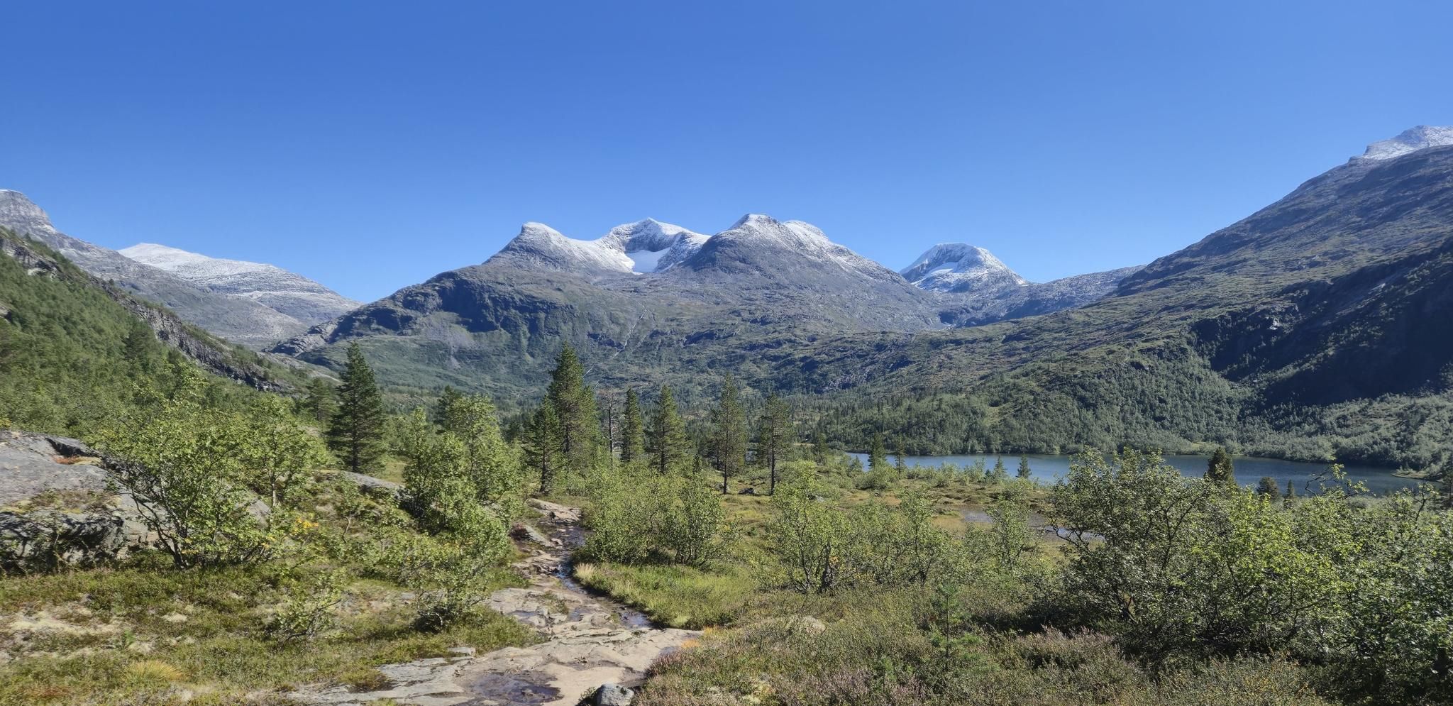
Trekanten i Tafjordfjella – historic trails and mountain wonder
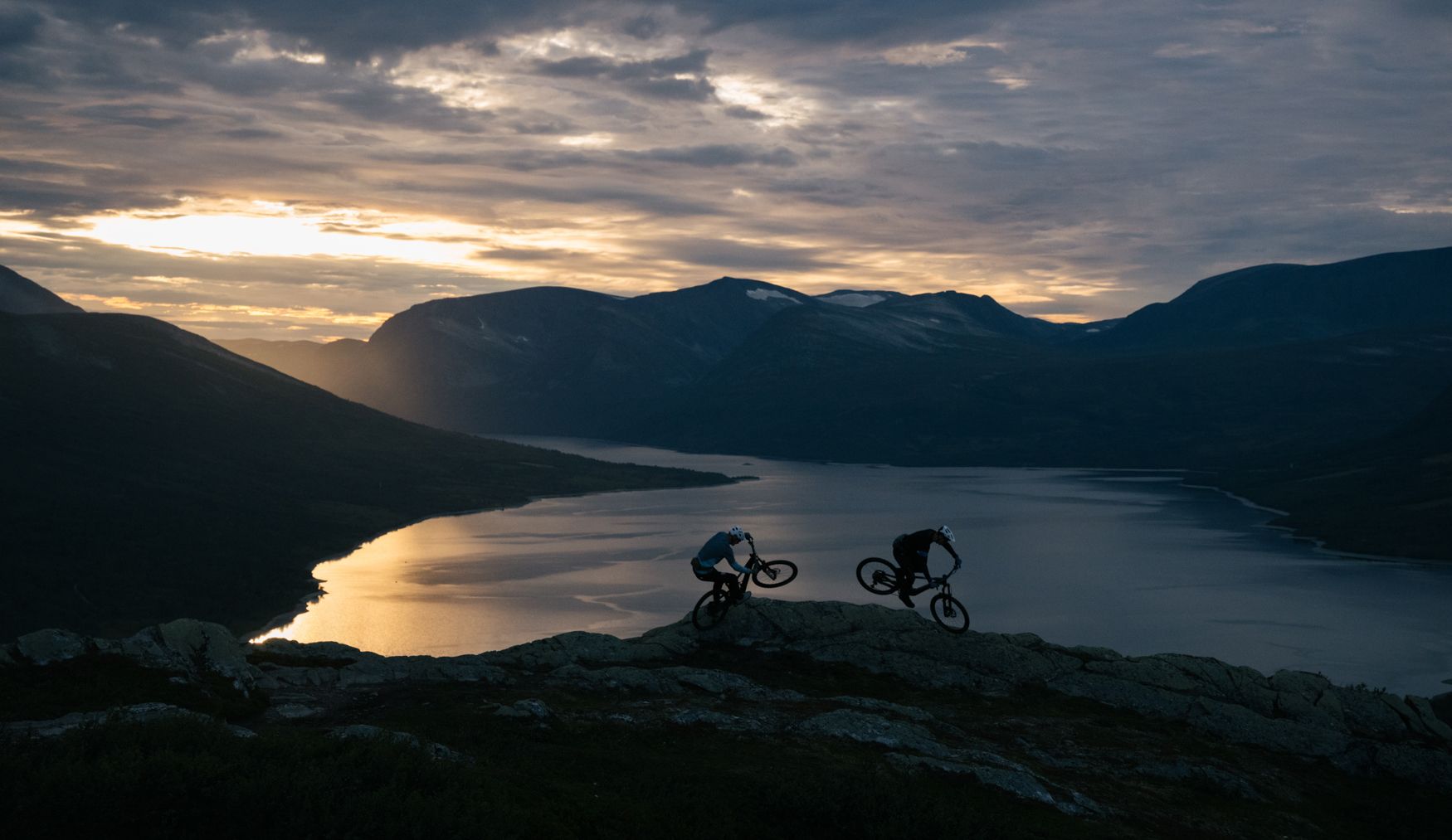
Norway Trail e-xplorer by SCOTT Sports – a trip of a lifetime!
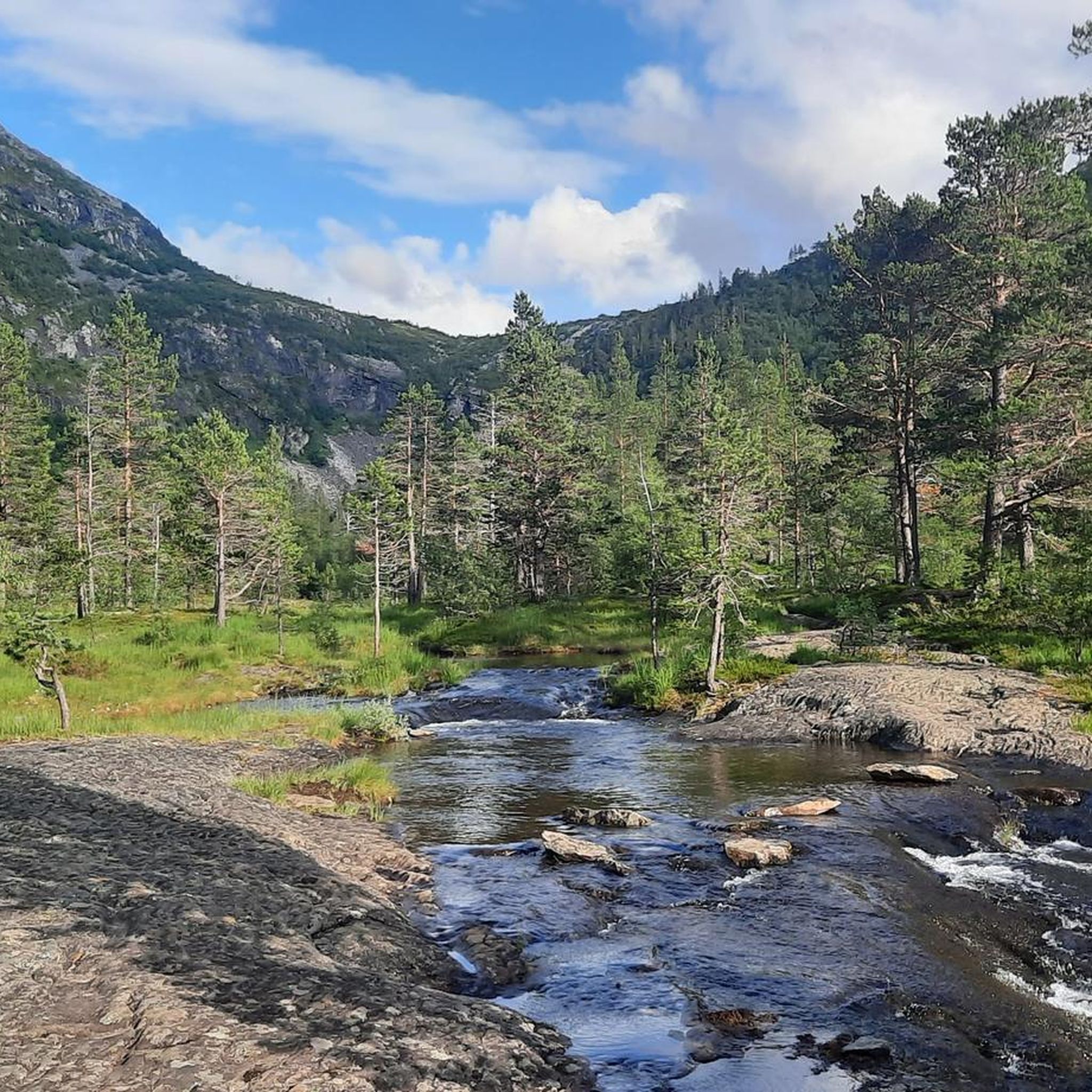
Hiking around Norddal
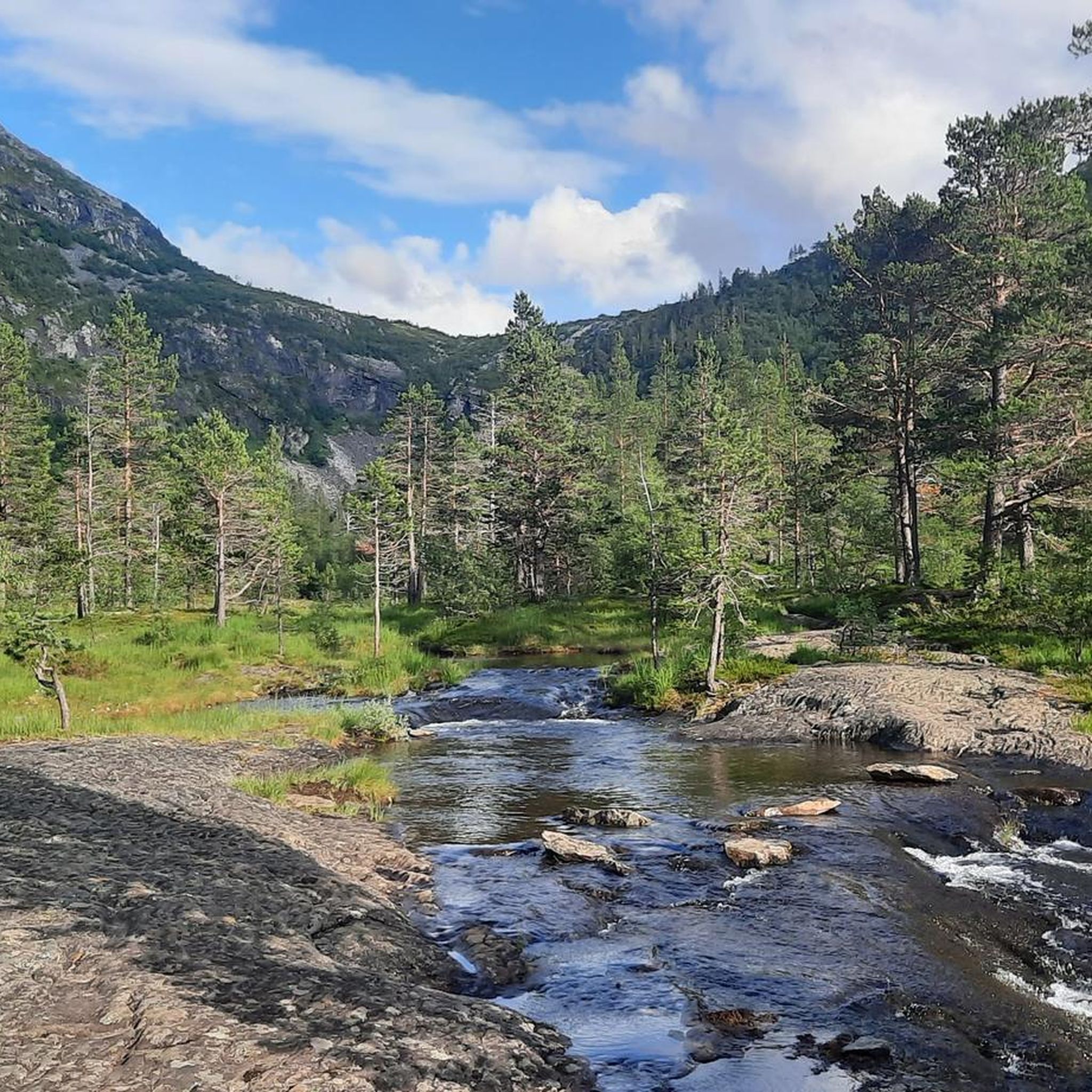
Cycling around Norddal
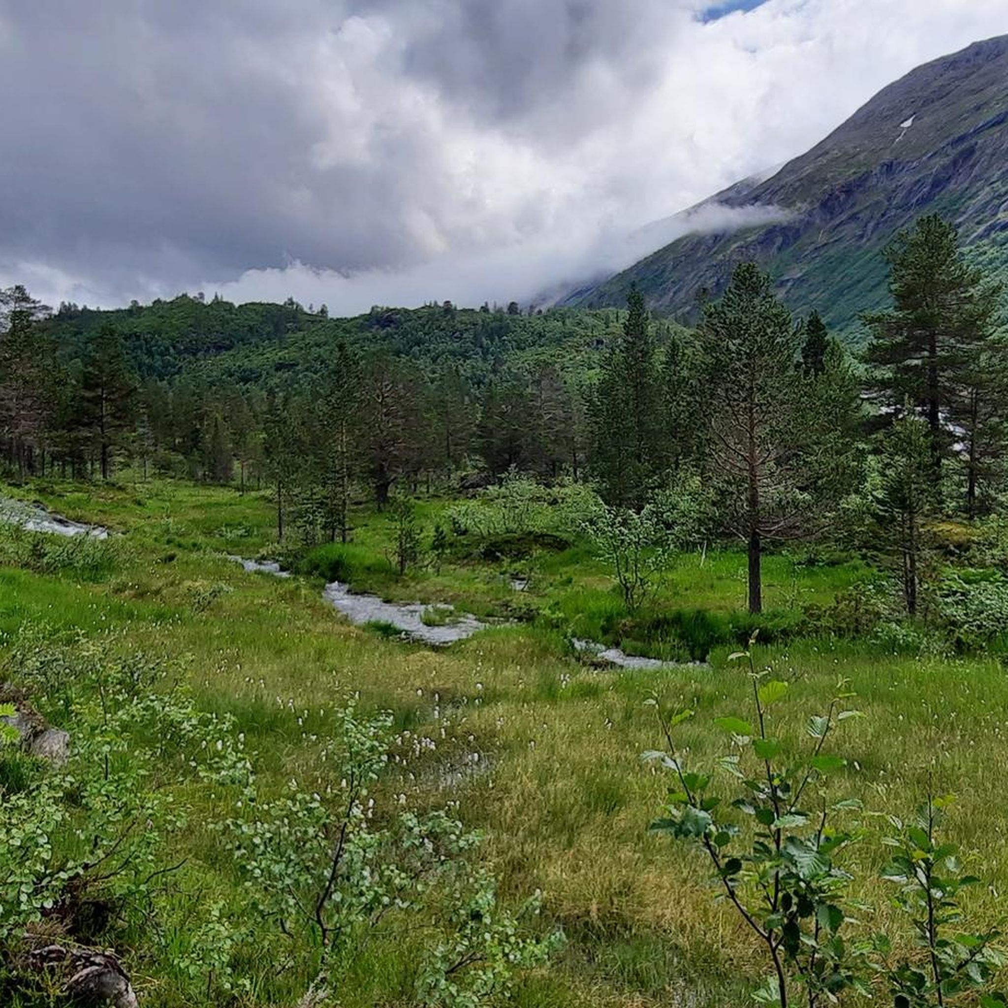
MTB Trails around Norddal
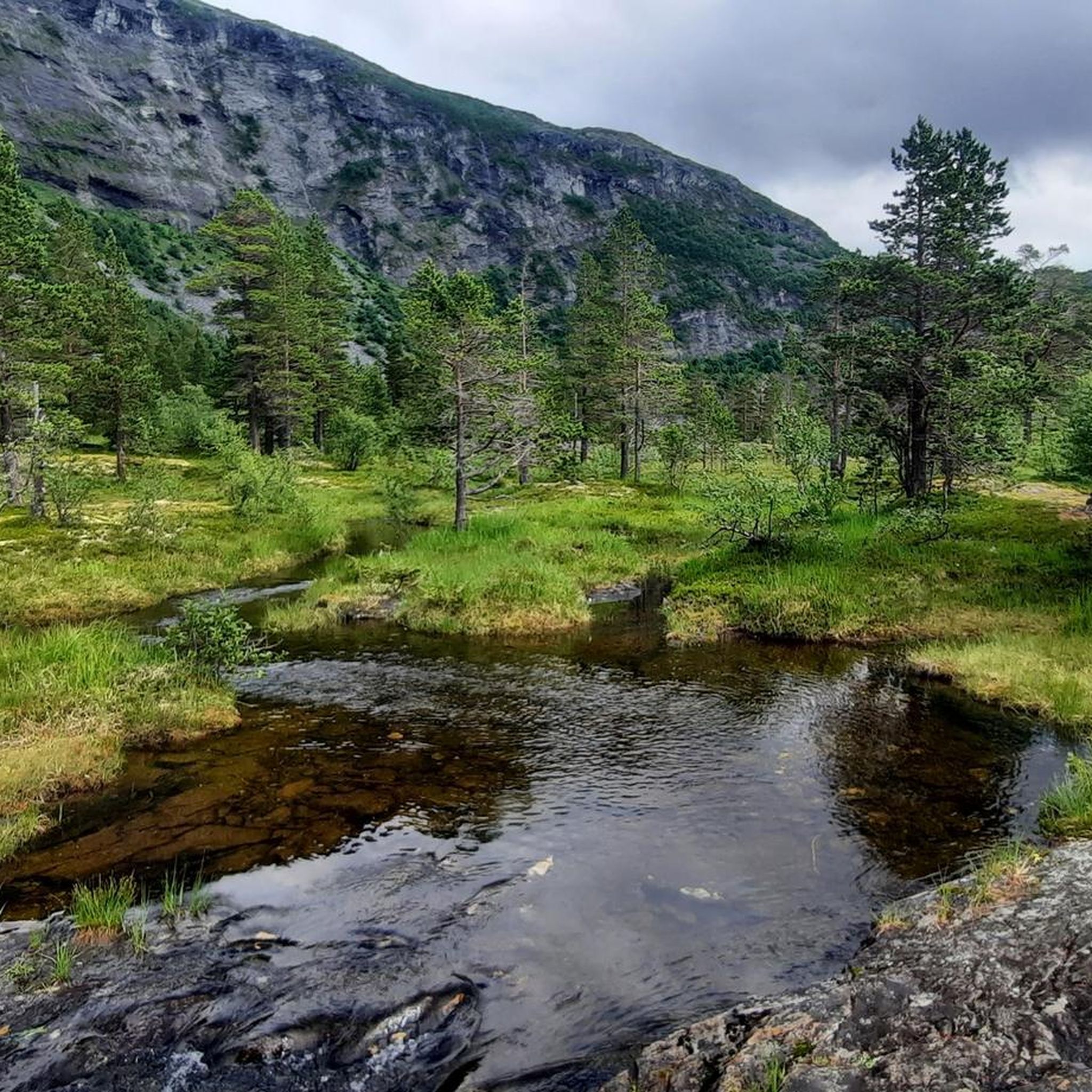
Running Trails around Norddal

Mountain Hikes around Norddal
Other adventures around Norddal


Tips from the Community

From the Adlerkehren you have a great view of the entrance and the town of Geiranger
2
0
From the Adlerkehren, you have a great view of the entrance and the village of Geiranger
2
0

The Fjordsenter is both a tourist information center and a museum, and offers a modern exhibition with lots of interesting information about the Geirangerfjord, its nature and the history of the place.
3
0
Wonderful view of the breathtaking landscape!
3
0
The view of the Geirangerfjord is simply world-class!
3
0

A good Geiranger insider tip is to cycle from Dalsnibba down to the fjord to enjoy the spectacular views along the way, rather than just looking from the skywalk. Discover famous waterfalls like "The Seven Sisters" and the Bridal Veil on a fjord boat cruise before cruise ships dock to experience the view without the large crowds. Explore the Flydalsjuvet viewpoint with its chair installation, or hike to the Homlongsætra mountain pasture for a different, lesser-known view of the fjord.
1
0
A good Geiranger insider tip is to cycle from Dalsnibba down to the fjord to enjoy the spectacular views along the way, rather than just looking from the skywalk. Discover famous waterfalls like "The Seven Sisters" and the Bridal Veil on a fjord boat cruise before cruise ships dock to experience the view without the large crowds. Explore the Flydalsjuvet viewpoint with its chair installation, or hike to the Homlongsætra mountain pasture for a different, lesser-known view of the fjord.
4
0
Facts about the Geirangerfjord The fjord is 15 km long, 1.5 km wide at its widest point, and 700 m deep at its deepest point. The area, which has been declared a UNESCO World Heritage Site, covers 498 km² and includes the fjord and the surrounding areas in the Stranda and Norddal counties.
1
0
Frequently Asked Questions
What is the typical terrain like for road cycling in Norddal?
Road cycling in Norddal is characterized by dramatic fjord and mountain landscapes, offering a blend of challenging terrain with significant elevation gains. You'll encounter deep fjords, towering mountains, and lush valleys. While mostly paved, routes can feature demanding mountain rides with occasional long and steep climbs and descents, such as the iconic Trollstigen climb with its 11 hairpin bends.
How many road cycling routes are available in Norddal?
There are over 10 road cycling routes available around Norddal on komoot, offering a range of experiences from moderate to difficult. The komoot community has rated these routes highly, with an average score of 4.9 stars.
When is the best time of year to go road cycling in Norddal?
The cycling season in Norddal typically runs from mid-May to mid-September, with June and July being ideal for the best weather and longest daylight hours. It's important to note that many mountain roads, including major passes like Trollstigen, are closed for significant parts of the year due to snow, usually opening from late May to early June.
Are there any routes suitable for beginners or less experienced road cyclists in Norddal?
While Norddal is known for its challenging terrain, the network does offer options for different ability levels. There is at least one easy route, and several moderate routes available. However, many routes feature demanding mountain rides with significant elevation gains, so a good level of fitness is generally recommended.
What are some of the most challenging road cycling climbs in the Norddal area?
Norddal offers several demanding climbs. The iconic Trollstigen climb, featured in routes like Trollstigen Mountain Pass from Valldal, involves 11 tight hairpin bends with gradients up to 10%. Other routes can feature over 1,000 meters of elevation gain, providing a significant challenge for advanced riders.
What natural features and landmarks can I see along the road cycling routes in Norddal?
You'll encounter breathtaking natural features and landmarks. The region is part of the UNESCO World Heritage area, offering spectacular fjord and mountain views. Highlights include the impressive Gudbrandsjuvet gorge, accessible via a viewing platform, and numerous waterfalls. You can also see the Storfossen Waterfall (Geiranger), Geirangerfossen Waterfall, and the View of Geirangerfjord from Dalsnibba. The Valldøla River, which carves Gudbrandsjuvet, is also a prominent feature.
Are there any circular road cycling routes in Norddal?
Yes, there are several circular road cycling routes. For example, the Geiranger Village – Geiranger Harbour loop from Hyskjet naturreservat offers spectacular fjord views and challenging ascents. Another option is the Trollstigen Scenic Road – Troll Statues at Trollstigen loop from Gjerde hytteområde, which leads through alpine terrain.
What do other road cyclists enjoy the most about road cycling in Norddal?
The komoot community highly rates road cycling in Norddal, with an average score of 4.9 stars from over 20 reviews. Cyclists frequently praise the dramatic scenery, the challenge of the mountain climbs, and the unique experience of connecting with Norway's rugged landscape. The spectacular fjord views, especially along routes like the Geiranger Harbour – Geiranger Village loop from Sylte kyrkje, are often highlighted.
Are there any cultural or historical attractions accessible by road bike in Norddal?
Beyond natural beauty, Norddal offers cultural attractions. The remote mountain farm Herdalssetra, a UNESCO World Heritage site showcasing 300 years of continuous summer pasture farming, provides a glimpse into traditional ecotourism. While not directly on a cycling route, it's a notable point of interest in the wider region. The local Norddal Kyrkje also adds historical and architectural interest.
What are the typical distances and durations for road cycling routes in Norddal?
Road cycling routes in Norddal vary in length and duration. You can find routes ranging from around 60 km (37 miles) to over 100 km (62 miles). For instance, the Trollstigen Mountain Pass from Valldal is about 108 km (67.5 miles) and can take around 5 hours 40 minutes to complete, while the Ørnesvingen Viewpoint – Bjørkhaugen loop from Hyskjet naturreservat is approximately 60 km (37.5 miles) and takes about 3 hours 50 minutes.
Are there places to stop for refreshments or food along the road cycling routes?
Yes, there are options for refreshments. For example, the Gudbrandsjuvet gorge, a significant natural attraction, has an adjacent café. While specific cafes on every route are not detailed, popular tourist areas and villages along the fjords often provide opportunities for stops.
Most popular routes around Norddal
Most popular attractions around Norddal

Get inspired with the komoot mobile app


Explore more
Browse the best Road cycling routes in other regions.
