The best walks and hikes around Ulstein
4.6
(1021)
6,005
hikers
18
hikes
Hiking around Ulstein offers diverse terrain across its island landscape, characterized by mountains, fjords, and coastal features. Situated on Hareidlandet island and encompassing smaller islands, the region provides varied topography for outdoor exploration. Trails lead to panoramic vistas of the surrounding island kingdom and open sea. The area includes both challenging mountain ascents and gentler forest paths.
Best hiking trails around Ulstein
- The most popular hiking route is Hasundrabben – Hasundhornet Summit loop from Fjelle, an easy 1.8 miles…
Last updated: October 11, 2026
5.0
(2)
6
hikers
7.65km
02:28
320m
320m
Moderate hike. Good fitness required. Easily-accessible paths. Suitable for all skill levels.
5
hikers
6.32km
02:12
340m
340m
Moderate hike. Good fitness required. Easily-accessible paths. Suitable for all skill levels.

4.7
(10)
46
hikers
5.34km
01:42
210m
220m
Easy hike. Great for any fitness level. Easily-accessible paths. Suitable for all skill levels.
4.8
(5)
57
hikers
2.83km
01:02
190m
180m
Easy hike. Great for any fitness level. Easily-accessible paths. Suitable for all skill levels.
4.8
(4)
23
hikers
11.2km
03:47
530m
530m
Moderate hike. Good fitness required. Easily-accessible paths. Suitable for all skill levels.
Get access to more routes and recommendations from other explorers.
Already have an account?
Our route recommendations are based on thousands of hikes, rides, and runs completed by other people on komoot.
Start today with a free account
Your next adventure awaits.
Popular around Ulstein
Tips from the Community


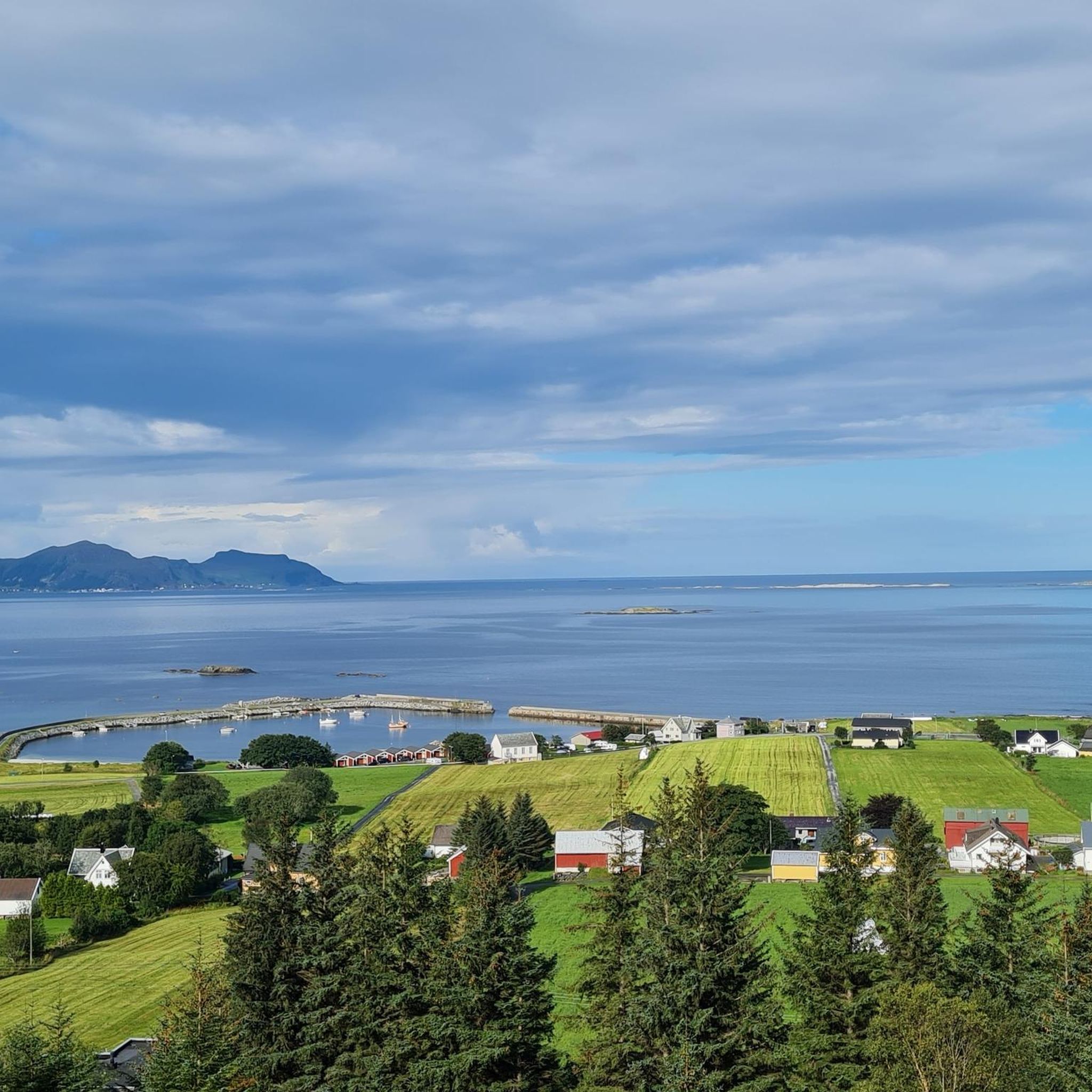
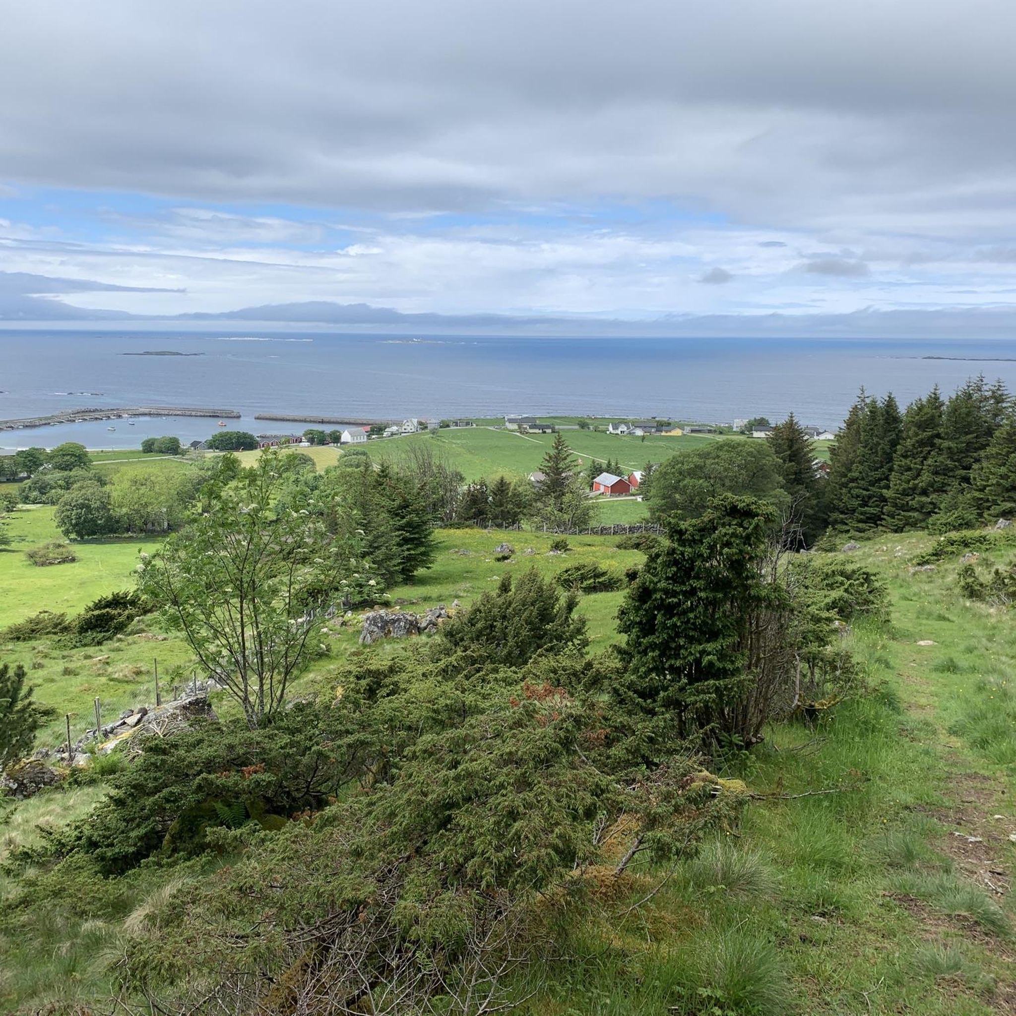
Skeide is a small residential neighbourhood situated on the coast. It’s a good place to set off from the coast and head up into the hills towards Skeidshornet or Litjevatnet.
0
0
From this vantage point, you can admire the sea and Skeide. It makes for a lovely little trip from the settlement.
0
0
This beautiful gravel road runs in a straight line, from the sea to the mountains. On the way down, the view of the sea is delightful. It’s a lovely place for a walk.
0
0

Litjevatnet reservoir is only small, but it is an attractive place to spend some time on your walk. There are rest areas on the water's edge with benches and a shelter. It is also peaceful, and it is a beautiful walk to get here; it makes for a perfect rest stop.
0
0

Two routes start right at the parking lot. The place is very popular and it is possible that you have to switch to similar parking spaces a little further ahead or behind.
3
0
A gravel path leads from a parking lot to the summit. The ascent is quite steep in sections, but the effort is worth it, because the view from the summit is outstanding!
3
0

Even if it is windy, you can make your snack here in a relatively good windbreak.
0
0
Frequently Asked Questions
What types of hiking trails can I find in Ulstein?
Ulstein offers a diverse range of hiking trails, from easy, family-friendly forest walks to more challenging mountain ascents. The landscape is characterized by island terrain, majestic mountains, and scenic fjords, providing varied topography for exploration. You can find paths leading to panoramic vistas of the surrounding island kingdom and the open sea.
Are there any easy or family-friendly hiking options in Ulstein?
Yes, Ulstein has several easy trails suitable for families. For instance, the Hasundrabben – Hasundhornet Summit loop from Fjelle is an easy 2.8 km route offering views from the summit. Another accessible option is the Hasundhornet Summit – Weather Station on Høgkubben loop from Haugane, a 5.3 km easy path featuring a weather station and expansive views. The region also offers family-friendly forest hikes, such as those around Uglesætra, which include picnic spots and local folklore.
What are some of the more challenging hikes in Ulstein?
For those seeking a challenge, Ulstein offers moderate to difficult mountain ascents. The highest peak in the municipality, Blåtinden (697.54 meters), provides rewarding ascent options. A moderate route to consider is the View from Blåtind (697 m) loop from Eika, which covers 6.9 km with significant elevation gain.
Are there any circular hiking routes in Ulstein?
Many of Ulstein's trails are designed as loops, allowing for a continuous journey back to your starting point. Examples include the easy Hasundrabben – Hasundhornet Summit loop from Fjelle and the moderate Fløhornet – View of the lake and red house loop from Flø, which takes you through varied terrain over 11.2 km.
What kind of views can I expect on hikes in Ulstein?
Hiking in Ulstein offers spectacular panoramic views. Trails often lead to vistas overlooking fjords, the surrounding island kingdom, and the open sea. From peaks like Blåtinden and Høgåsen, you can experience expansive views of Ulsteinvik and the wider Møre og Romsdal county. Coastal trails also provide unique perspectives of maritime features.
What interesting landmarks or attractions can I see near the hiking trails?
Beyond the trails themselves, Ulstein and its surroundings offer several points of interest. You can explore the Hasundhornet Summit for great views. Further afield, consider visiting the Alnes Lighthouse or the Puffin Colony Viewpoint on Runde island for wildlife observation, particularly in the evenings when puffins return.
What do other hikers enjoy most about hiking in Ulstein?
The hiking trails in Ulstein are highly rated by the komoot community, with an average score of 4.6 stars from over 800 reviews. Hikers frequently praise the diverse island terrain, the stunning panoramic views of fjords and the sea, and the variety of routes available for different fitness levels.
Are there any hikes that offer views of specific natural features like lakes or unique houses?
Yes, the Fløhornet – View of the lake and red house loop from Flø is a moderate 11.2 km trail that specifically offers views of a lake and a distinctive red house, adding a unique visual element to your hike.
Can I find trails that lead to prominent mountain summits?
Absolutely. Ulstein is known for its mountainous terrain, and many trails lead to prominent summits. Blåtinden is the highest peak, offering rewarding ascents. You can also hike to Hasundhornet Summit, which is featured in several popular routes, providing excellent vantage points over the region.
How many hiking routes are available in Ulstein?
There are over 15 hiking routes available in Ulstein, catering to various skill levels. This includes 5 easy trails, 10 moderate trails, and 1 difficult trail, ensuring options for everyone from casual walkers to experienced hikers.
Are there any hikes with a historical or cultural element?
While not explicitly historical trails, the region's coastal setting means you might encounter maritime features. For example, the Grasøyane Lighthouse, an 1886 wooden structure within a nature reserve, offers an interesting destination for a hike combined with nature observation. Additionally, the village of Flø, a starting point for some hikes, is known for its art studios and ocean views, blending natural beauty with local culture.
Most popular routes around Ulstein
Most popular attractions around Ulstein

Get inspired with the komoot mobile app


Explore more
Browse the best Hikes in other regions.
