The best walks and hikes around Ullensaker
4.9
(43)
418
hikers
55
hikes
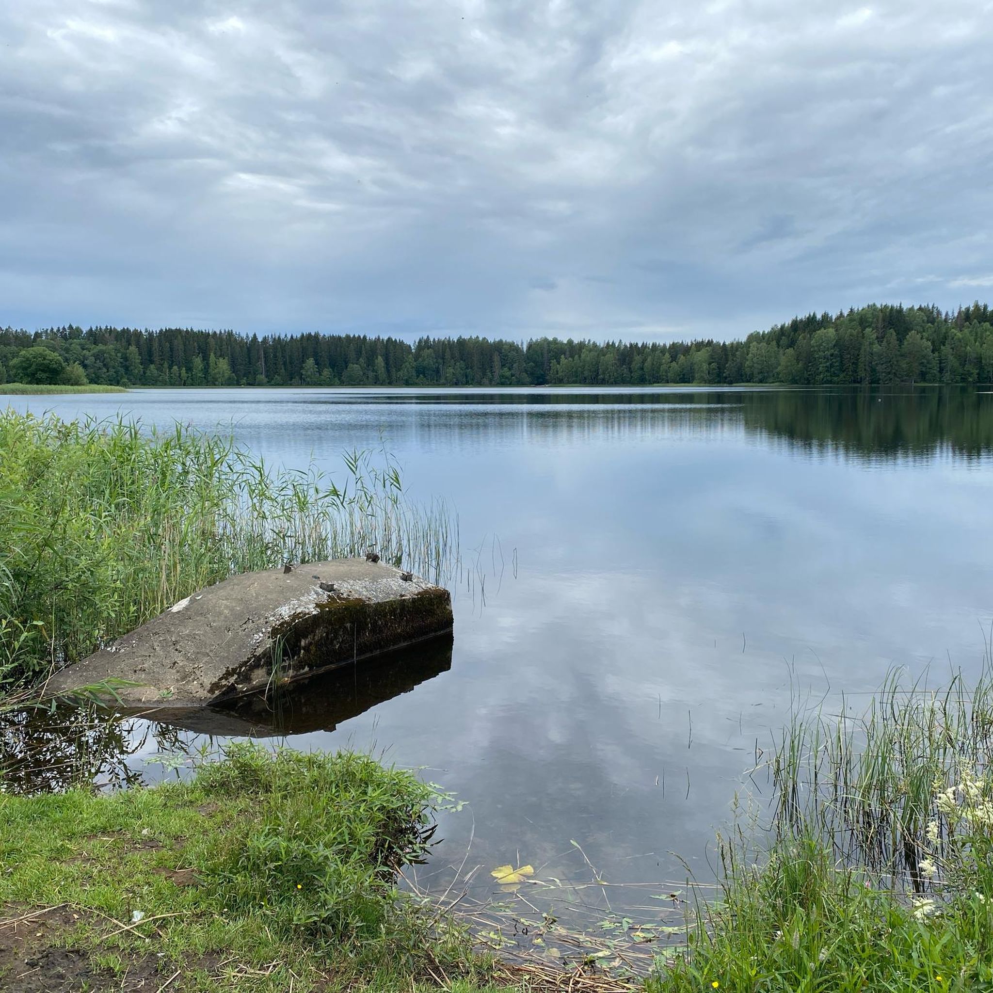
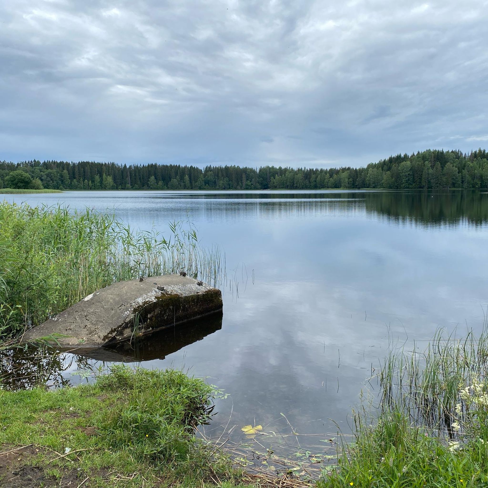
Hiking around Ullensaker offers diverse terrain characterized by lush greenery and rolling hills. The region features significant natural attractions such as Nordbytjernet Lake, providing tranquil waters and forested landscapes. The broader area is shaped by the Gardermoen Plateau and the Glomma River, contributing to its varied topography. This landscape provides a range of hiking challenges, from easy strolls to more demanding routes.
Best hiking trails around Ullensaker
- The most popular hiking route is Hiking loop in Aurmoen Nature Reserve,…
Last updated: October 12, 2026
5.0
(22)
63
hikers
2.86km
00:44
20m
20m
Easy hike. Great for any fitness level. Easily-accessible paths. Suitable for all skill levels.
1
hikers
5.47km
01:29
80m
80m
Moderate hike. Great for any fitness level. Mostly accessible paths. Sure-footedness required.

5.0
(1)
1
hikers
9.64km
02:32
80m
80m
Moderate hike. Good fitness required. Easily-accessible paths. Suitable for all skill levels.
1
hikers
9.08km
02:26
110m
110m
Moderate hike. Good fitness required. Easily-accessible paths. Suitable for all skill levels.
5.78km
01:29
20m
20m
Easy hike. Great for any fitness level. Easily-accessible paths. Suitable for all skill levels.
Get access to more routes and recommendations from other explorers.
Already have an account?
Our route recommendations are based on thousands of hikes, rides, and runs completed by other people on komoot.
Start today with a free account
Your next adventure awaits.

Tips from the Community

On the edge of the forest, Gystad has a playground that is sure to encourage your children to go for a walk. A lovely reward for keen walkers.
0
0
The Gystad neighbourhood in Jessheim lies on the edge of the forest. As soon as you step out of the neighbourhood, you find yourself right amongst the trees, cut off from everyday life and able to recharge your batteries.
0
0
Jessheim Forest has plenty of little paths for walking, as well as streams whose babbling adds to the charm of your hikes. Here, you can find both near the Styggedalsbekken.
0
0

Where the trail transitions between forest and open landscape, you’ll find a small recreation area with football goals and picnic benches.
0
0

South of Jessheim, the town softens into open ground and quiet routes, where the city edge meets the stillness beyond.
0
0
Nearby, a narrow trail slips between the pine trees, quiet beneath the canopy and softened by the scent of needles and earth. It feels like a small hidden path, the kind that invites you to slow down and follow it just a little farther.
0
0
A soft path winds through the woods, where pine shade, quiet air, and dappled light make every step feel unhurried.
0
0

This work of art is part of a series of 19th-century European pavilions revisited by sculptor Camilla Løw. The artist enjoys deconstructing them and giving them new colors, so that people can make these spaces from another era their own.
0
0
Frequently Asked Questions
How many hiking trails are available in Ullensaker?
Ullensaker offers a wide selection of hiking opportunities, with over 50 trails recorded on komoot. These routes cater to various preferences, ranging from easy strolls to more moderate hikes, ensuring there's something for every outdoor enthusiast.
Are there any easy, family-friendly hiking trails in Ullensaker?
Yes, Ullensaker is ideal for family-friendly hikes, with 45 out of 59 routes classified as easy. A great option is the Nordbytjernet – Nordbytjernet Lake loop from Nordbymoen, which is a short 2.7 km (1.7 miles) path around the scenic Nordbytjernet Lake, perfect for all ages.
What kind of terrain can I expect on Ullensaker's hiking trails?
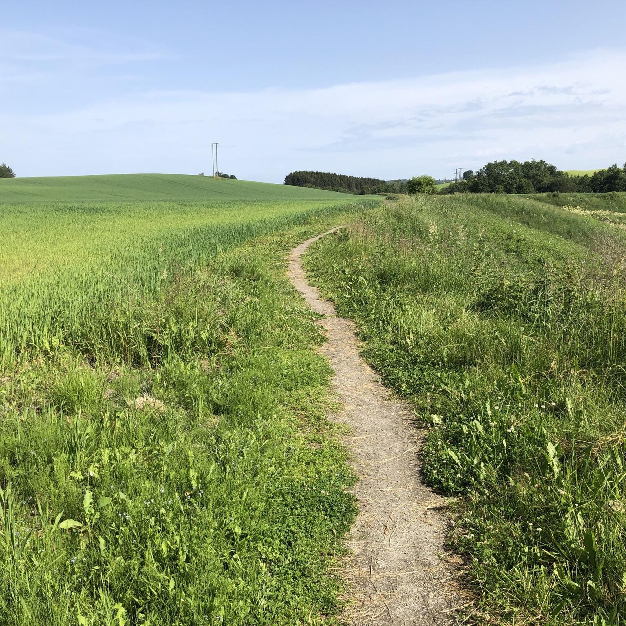
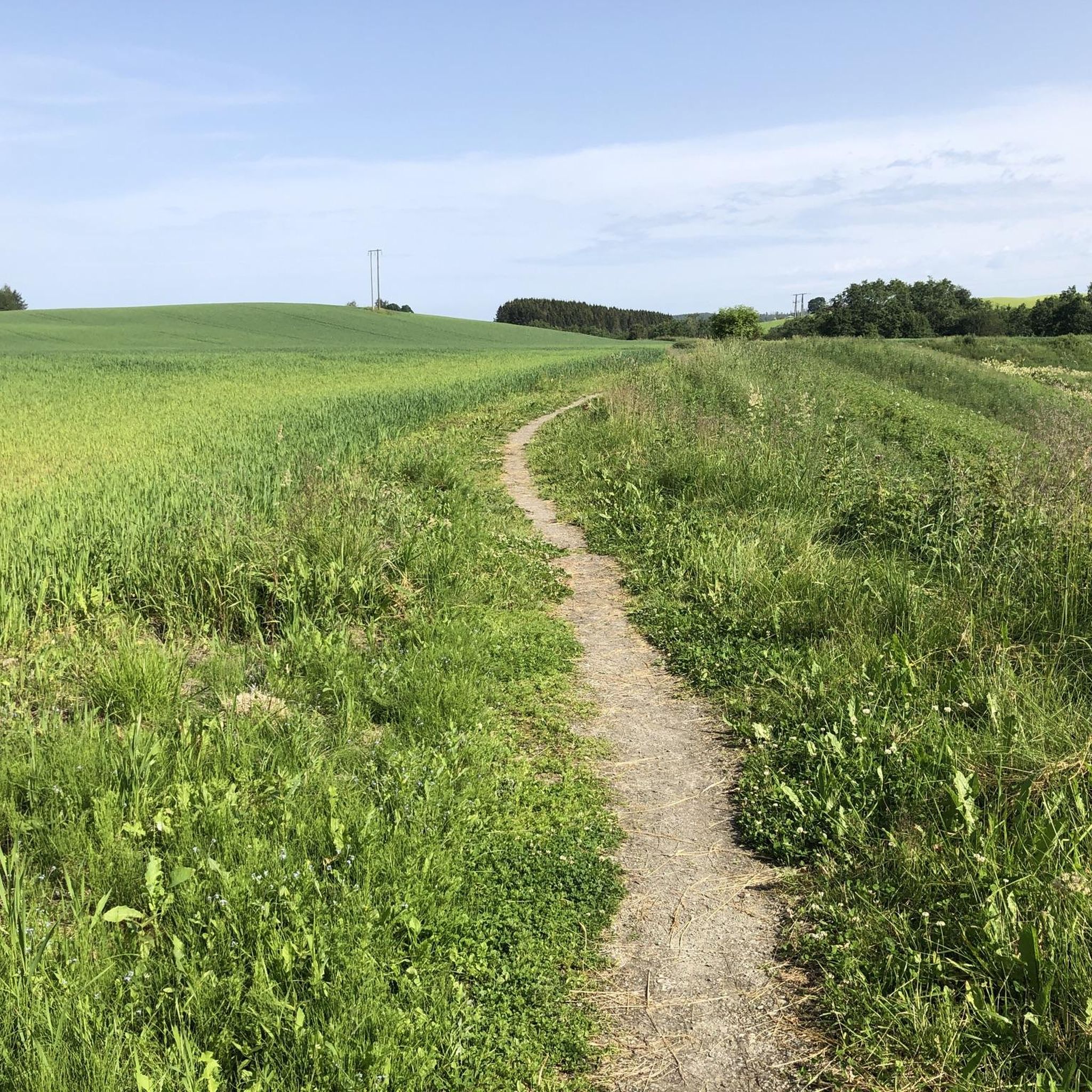
The hiking terrain in Ullensaker is characterized by lush greenery and rolling hills, offering a serene and scenic backdrop. You'll find diverse landscapes shaped by the Gardermoen Plateau and the Glomma River, providing a mix of easy, relatively flat paths and some routes with gentle ascents and descents.
Are there any circular walks in Ullensaker?
Many of Ullensaker's trails are circular, allowing you to start and end at the same point. For example, the Hiking loop in Aurmoen Nature Reserve is an easy 5.8 km (3.6 miles) loop that offers a peaceful experience through natural surroundings.
What are some notable natural features or landmarks to see while hiking in Ullensaker?
While hiking in Ullensaker, you can explore significant natural attractions like Nordnytjernet Lake, known for its tranquil waters and forested borders. For a historical touch, consider routes that pass near Rakni's Mound, Scandinavia's largest burial mound, offering a unique cultural element to your outdoor experience.
Are there any moderate hiking trails for those seeking a bit more challenge?
Yes, for hikers looking for a moderate challenge, Ullensaker offers 14 routes. A good option is the Memory Grove – Hulveier Path loop from Oslo lufthavn, a 8.5 km (5.3 miles) trail that takes about 2 hours 14 minutes to complete and leads through varied terrain.
What do other hikers say about the trails in Ullensaker?
The trails in Ullensaker are highly regarded by the komoot community, boasting an average rating of 4.9 stars from over 100 reviews. Hikers often praise the well-marked paths, the tranquility of the natural surroundings, and the accessibility of routes for different skill levels.
Are there any trails that offer historical points of interest?
Yes, you can combine hiking with history in Ullensaker. The Short Stirling LK147 Memorial – Memory Grove loop from Åsgreina is an easy 4.6 km (2.9 miles) route that takes you past a memorial, offering a reflective experience amidst nature.
Can I find places to rest or viewpoints along the trails?
Yes, some trails in Ullensaker feature designated rest areas or viewpoints. For instance, you might find a Viewpoint and Shelter at Lysthuset, offering a spot to pause and enjoy the scenery. Additionally, some lake areas have facilities like a Rest area with playground and small beach by the lake.
How well-marked are the hiking trails in Ullensaker?
Ullensaker boasts an extensive network of well-marked hiking trails. These trails are clearly signed and marked with blue markings on trees and poles, adhering to the standards of the Norwegian Tourist Association, making navigation straightforward for hikers.
Are there any huts or cabins available near the hiking routes?
Yes, for those looking for a place to rest or stay, there are huts and cabins in the vicinity of Ullensaker's hiking areas. Options include the Aaraas Gård Pilgrim Hostel or the Rulla Cabin and Shelter, providing convenient spots for hikers.
Most popular attractions around Ullensaker

Get inspired with the komoot mobile app


Explore more
Browse the best Hikes in other regions.
