The best walks and hikes around Rakkestad
4.4
(51)
327
hikers
31
hikes
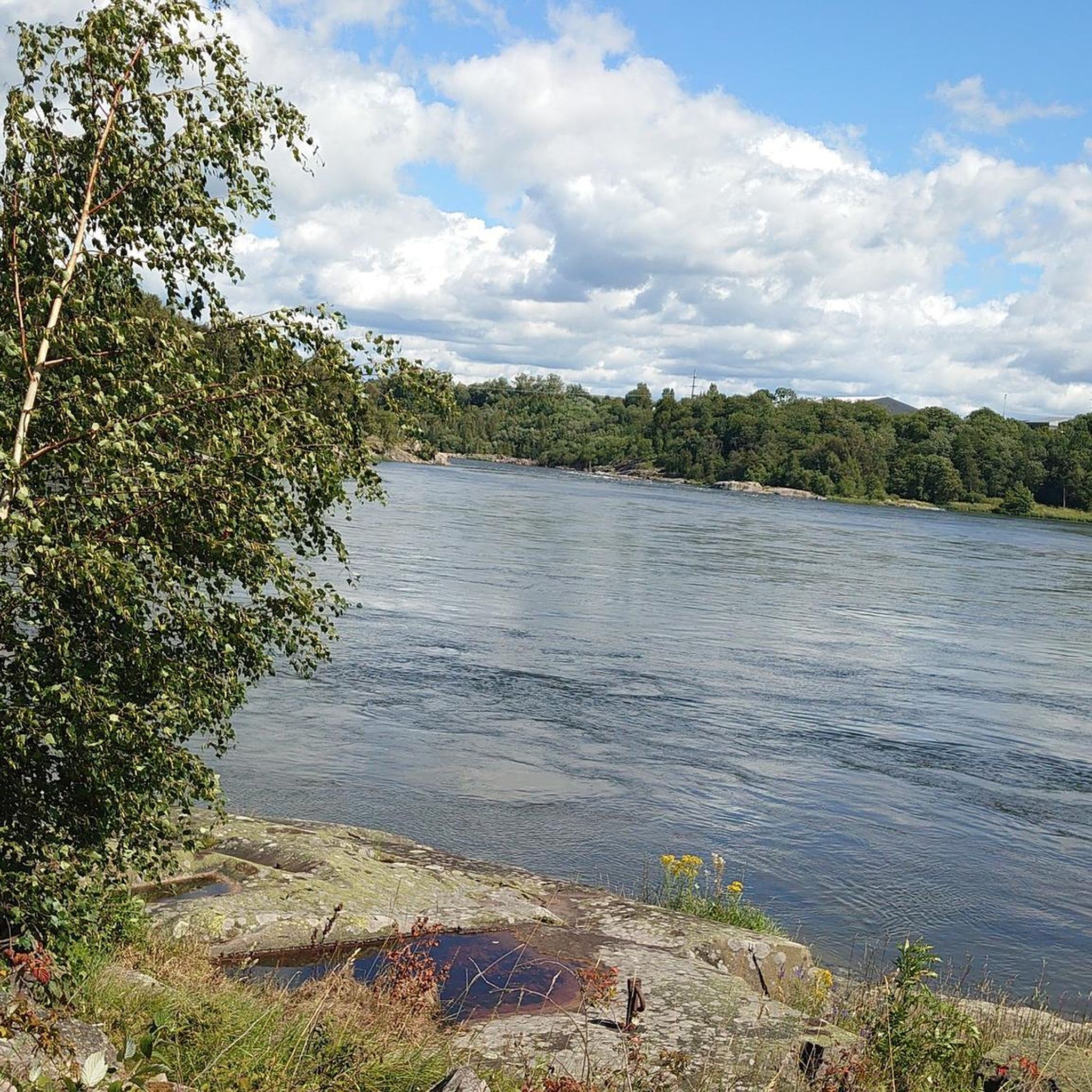
Hiking around Rakkestad offers diverse experiences across its varied natural landscapes. The region is characterized by rolling, wooded hills, which provide an extensive network of marked forest paths. Notable elevations include Linnekleppen, the highest point in the municipality, and Høgnipen, a significant hilly area featuring an ancient Stone Age settlement. The western border is defined by the Glomma River, Norway's largest, and numerous small lakes are scattered throughout the Rakkestad Hills.
Best hiking trails around Rakkestad
- The most popular hiking…
Last updated: October 11, 2026
4.72km
01:15
40m
40m
Easy hike. Great for any fitness level. Easily-accessible paths. Suitable for all skill levels.
4.8
(6)
48
hikers
6.64km
01:55
170m
170m
Easy hike. Great for any fitness level. Easily-accessible paths. Suitable for all skill levels.

4.7
(3)
14
hikers
11.6km
03:08
160m
160m
Moderate hike. Good fitness required. Easily-accessible paths. Suitable for all skill levels.
5.0
(1)
10
hikers
9.84km
02:36
90m
90m
Moderate hike. Good fitness required. Easily-accessible paths. Suitable for all skill levels.
5.0
(1)
11
hikers
4.62km
01:15
60m
60m
Easy hike. Great for any fitness level. Easily-accessible paths. Suitable for all skill levels.
Get access to more routes and recommendations from other explorers.
Already have an account?
Our route recommendations are based on thousands of hikes, rides, and runs completed by other people on komoot.
Start today with a free account
Your next adventure awaits.
Tips from the Community

This short stretch winds through a wooded area, alternating between shaded paths under the trees and small clearings. It feels as though you’re deep in nature, yet the fields and villages are all around you, just beyond the trees.
0
0

Unfortunately the tower is no longer there - what a pity
0
0

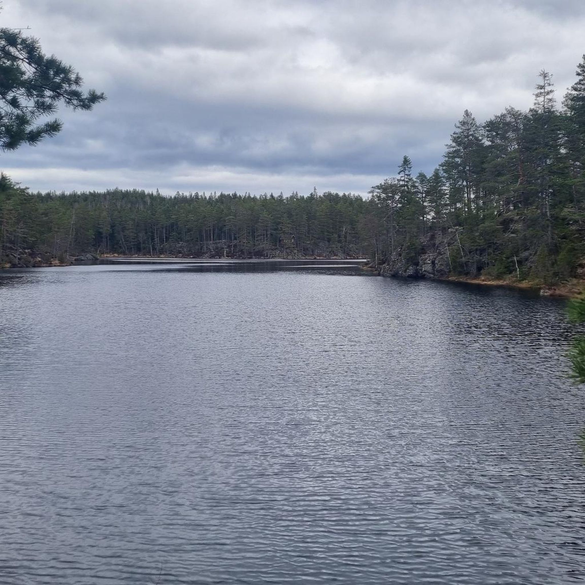
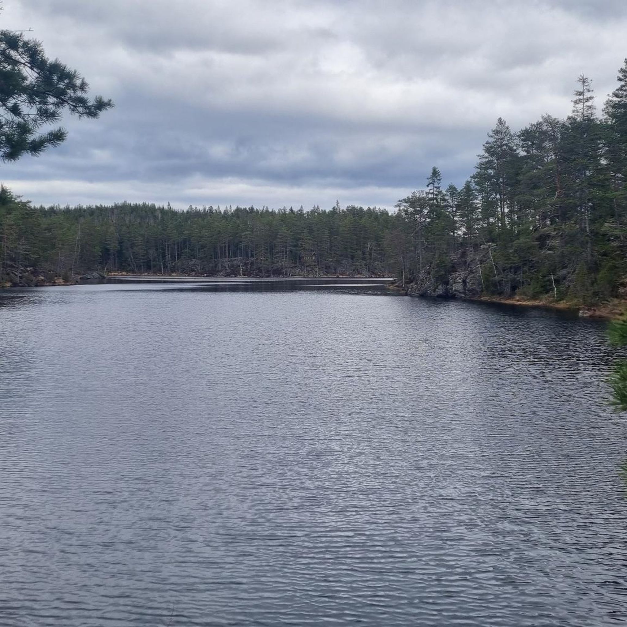
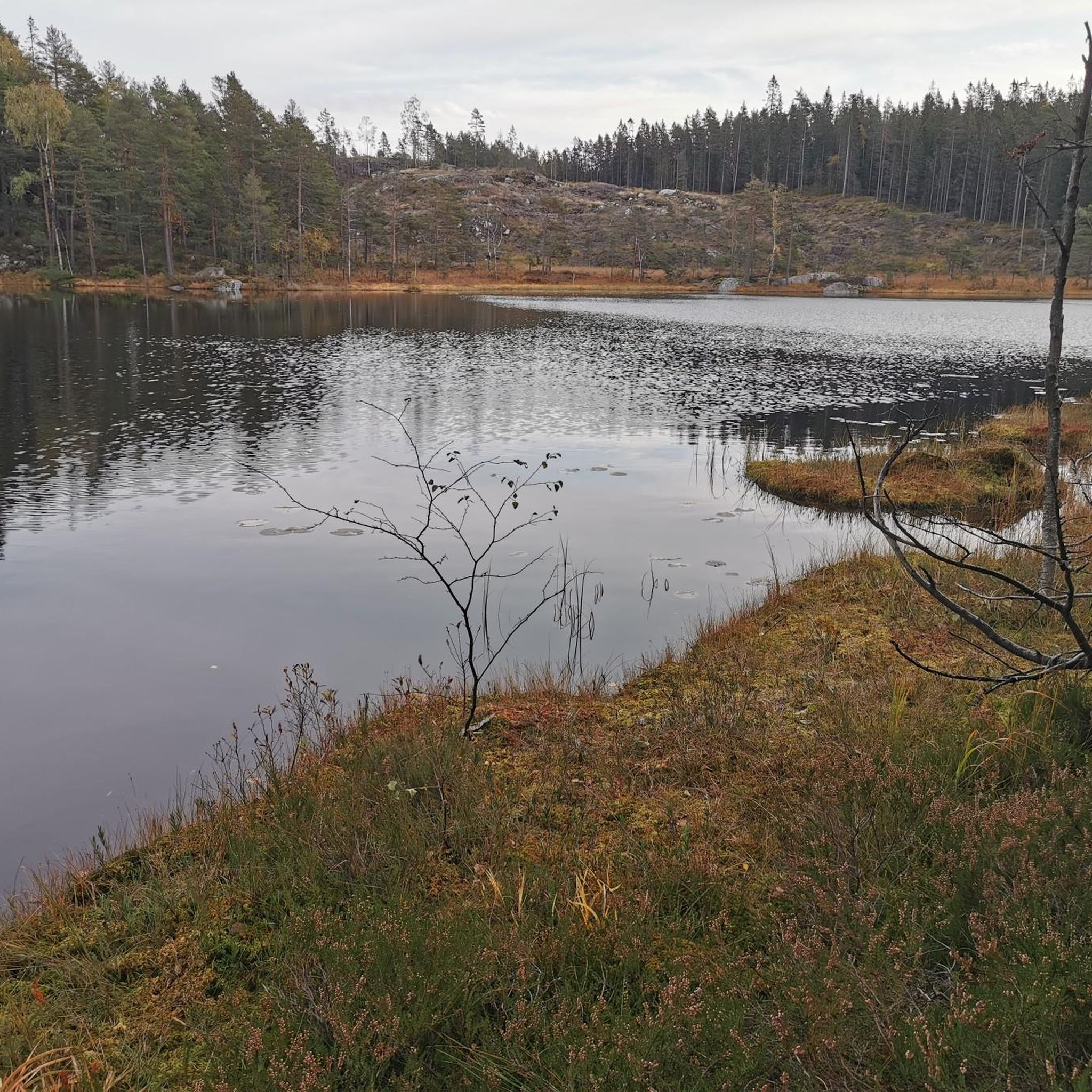
Beautiful little island where you can also camp.
0
0
Canoes and boats belonging to the DNT hut and privately owned.
0
0
Unmanned DNT hut, with water (pump), solar power and very comfortable furnishings. There are also canoes 800 m from the lake.
0
0
Frequently Asked Questions
How many hiking trails are available in Rakkestad?
Rakkestad offers a diverse network of over 30 hiking trails, catering to various skill levels. You'll find routes winding through rolling, wooded hills and along serene lakes, providing ample opportunities to explore the region's natural beauty.
Are there easy hiking options suitable for beginners or families in Rakkestad?
Yes, Rakkestad has plenty of easy hiking options. More than half of the trails, specifically 17 out of 30, are rated as easy. A great choice for a family-friendly outing is the Ryggåsen – Østtorp loop from Knatterudfjellet, which is an easy 4.6 km route.
What kind of views can I expect on hikes in Rakkestad?
Many hikes in Rakkestad offer stunning panoramic views, especially from higher elevations. The most notable is from Linnekleppen Observation Tower, the highest point in the municipality, where you can see vast forestlands across southeastern Norway and even into Sweden. Høgnipen also provides excellent vistas from its observation tower.
Are there any circular hiking routes in Rakkestad?
Yes, many of the trails in Rakkestad are designed as circular routes, allowing you to start and end at the same point. For example, the popular Krokvannet loop from Ådalen is a moderate 11.6 km circular path exploring forested terrain around the lake.
What are some interesting landmarks or places to explore along the hiking trails?
Rakkestad's trails lead to several unique landmarks. You can visit the historic fire watchtower at Linnekleppen, or explore the ancient Stone Age settlement near Høgnipen. For a break, consider stopping at the Bakergaarden Café or the Boathouse Café Haldenkanalen, both of which are nearby attractions.
Can I find places to eat or get refreshments near the hiking areas?
Yes, there are a couple of cafes in the vicinity that hikers might find convenient. The Bakergaarden Café and the Boathouse Café Haldenkanalen are listed as nearby attractions and could be good spots for refreshments.
What do other hikers say about the trails in Rakkestad?
The trails in Rakkestad are highly regarded by the komoot community, holding an average rating of 4.6 stars from over 30 reviews. Hikers often praise the well-marked paths, the serene natural surroundings, and the diverse landscapes ranging from wooded hills to tranquil lakes.
Are there any hiking routes that go past lakes or rivers?
Absolutely. Rakkestad is known for its numerous small lakes scattered throughout the Rakkestad Hills, and the Glomma River forms part of its western border. The Boat and Canoe Dock – Island in the Lake loop from Frøne is a great example, leading through beautiful lakeside landscapes.
What is the best time of year to go hiking in Rakkestad?
Rakkestad offers hiking opportunities year-round. The rolling, wooded hills are ideal for hiking in spring, summer, and autumn, with vibrant foliage changes. In winter, these same paths are often used for cross-country skiing, but some trails may still be accessible for winter hiking, offering a different kind of serene beauty.
Are there any specific trails that highlight the region's history or geology?
Yes, the Høgnipen loop from Skjebergdalen kirke is particularly interesting for its historical significance. This hilly region features a marked trail leading to an ancient Stone Age settlement, considered among Norway's oldest, and its summit was historically an island during the Stone Age.
What other outdoor activities can I do in Rakkestad besides hiking?
Beyond hiking, Rakkestad is excellent for various outdoor pursuits. You can enjoy canoeing on the lakes or rivers, cycling through the scenic landscapes, and even foraging for berries and mushrooms seasonally. The Glomma River also offers great opportunities for fishing.
Most popular routes around Rakkestad
Most popular attractions around Rakkestad

Get inspired with the komoot mobile app


Explore more
Browse the best Hikes in other regions.
