The best walks and hikes around Radøy
4.6
(286)
1,254
hikers
51
hikes
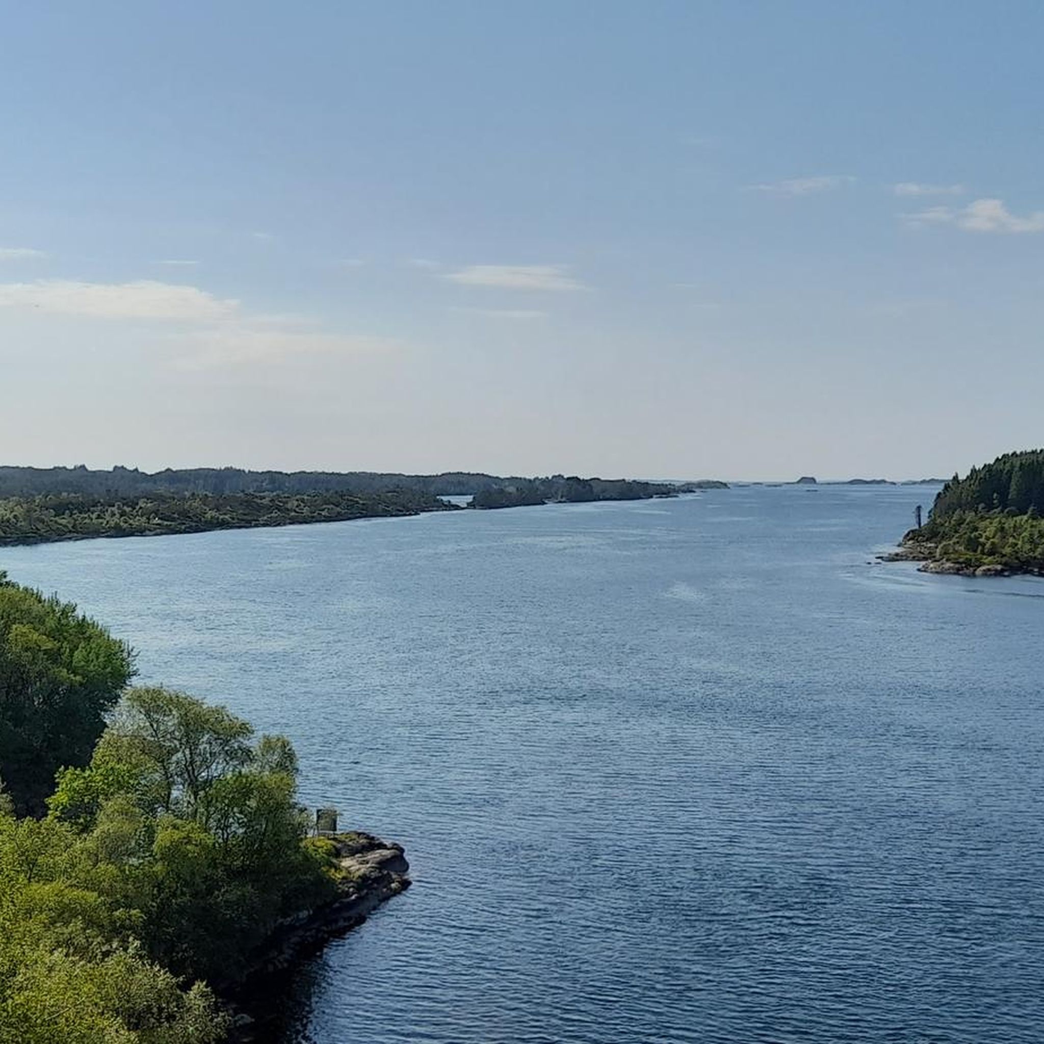
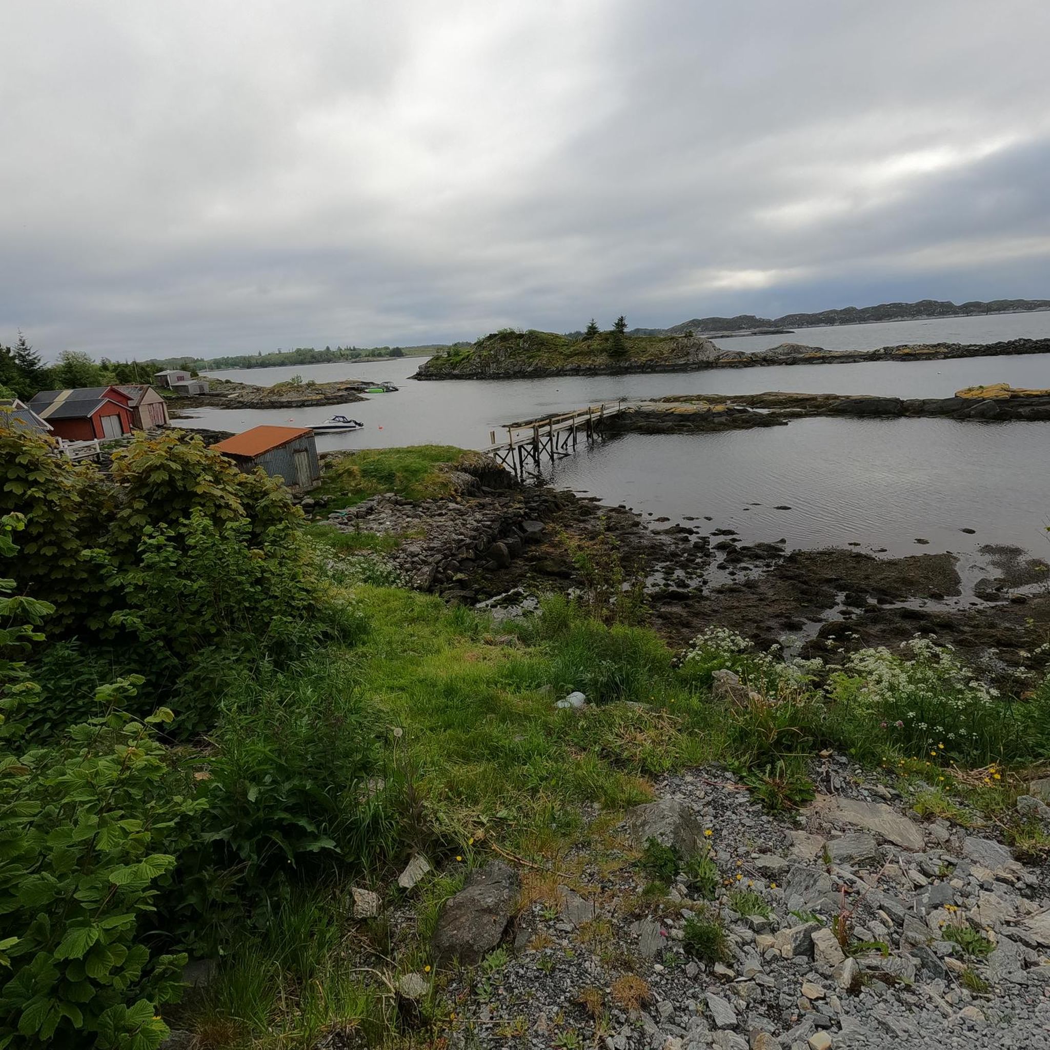
Hiking around Radøy offers diverse landscapes, from lush green areas to coastal environments with numerous islands and islets. The region features mountains, valleys, and forests, providing varied terrain for exploration. Morkefjellet, at 217 meters, is the highest hill on Radøy. Sandy beaches like Mjåtveitsanden also contribute to the island's natural features.
Best hiking trails around Radøy
- The most popular hiking route is The North Sea Trail on Fedje - long trail to Fyrsundet, a 4.0 miles (6.5 km) trail that takes 2 hours 6 minutes to complete, offering coastal views.
- Another top favourite among local hikers is View of the lake – View from Varden loop from Io, a difficult 4.0 miles (6.4 km) path. This route provides panoramic views, including a lake vista from Varden.
- Local hikers also love the Gløvro Rock Crevice – Rock Crevice loop from Hjelme, a 1.7 miles (2.8 km) trail leading through a notable rock crevice, often completed in about 45 minutes.
- Hiking around Radøy is defined by fjords, lush green landscapes, and coastal paths. The network offers options for different ability levels, from easy walks to more challenging ascents.
- The routes in Radøy are highly rated by the komoot community with an average score of 4.6 stars from over 200 reviews. More than 900 hikers have used komoot to explore Radøy's varied terrain.
Last updated: October 10, 2026
5.0
(2)
13
hikers
4.90km
01:39
250m
250m
Easy hike. Great for any fitness level. Easily-accessible paths. Suitable for all skill levels.
1.33km
00:23
40m
40m
Easy hike. Great for any fitness level. Easily-accessible paths. Suitable for all skill levels.

5.0
(4)
26
hikers
3.99km
01:04
50m
50m
Easy hike. Great for any fitness level. Easily-accessible paths. Suitable for all skill levels.
5.0
(3)
40
hikers
2.65km
01:32
250m
250m
Hard hike. Great for any fitness level. Sure-footedness, sturdy shoes and alpine experience required.
4.3
(3)
17
hikers
6.18km
01:53
190m
190m
Easy hike. Great for any fitness level. Easily-accessible paths. Suitable for all skill levels.
Get access to more routes and recommendations from other explorers.
Already have an account?
Our route recommendations are based on thousands of hikes, rides, and runs completed by other people on komoot.
Start today with a free account
Your next adventure awaits.
Popular around Radøy
Tips from the Community

Morkefjellet, at 217 metres, is the highest point on Radøy island. What it lacks for in height it makes up for in views with great views out over the coast. It also has a very cool stone cairn at the summit.
0
0
This is a lovely rest spot; there are some picnic benches and also a nearby car park.
0
0
Nøttveitveten is only a small two hundred metre hill, but it has great views, and at the top there is a solid stone cairn. There is also a wooden shelter along with a guestbook to sign. On clear days, you have great views out over the fjords.
0
0

Rising to an elevation of 249 metres, Skardsveten (also known as Skardstveiten) is a prominent hill located in Alver. Reached via a straightforward trail from Skarsvegen, the summit features a viewing telescope and offers beautiful panoramic views over the surrounding Nordhordland landscape.
0
0

Gorgeous views in all directions, especially in clear weather. The stark, rocky landscape is really something special.
0
0

Very cozy day hut with oven and books right next to the summit.
0
0

The path looks comfortable in the beginning, but it gets very swampy and muddy. Don’t come in white sneakers.
0
0
Frequently Asked Questions
How many hiking trails are available in Radøy?
Radøy offers a wide variety of hiking experiences, with nearly 50 distinct trails available for exploration. These routes cater to different preferences, ranging from easy walks to more challenging ascents across the island's diverse landscapes.
What kind of terrain can I expect on hikes in Radøy?
The terrain in Radøy is incredibly varied, earning it the nickname 'the green island.' You'll find lush green areas, mountains, valleys, and charming forests. The coastal environment also features numerous islands, islets, and sandy beaches like Mjåtveitsanden, providing a mix of inland and seaside paths.
Are there easy hiking options suitable for beginners or families in Radøy?
Yes, Radøy has plenty of easy hiking options perfect for beginners or families. Over 30 of the available trails are rated as easy. For example, the Ømeberget Hiking Loop – Lighthouse loop from Førehjelmo is an accessible route that takes you through pleasant scenery.
Are there challenging hikes for experienced hikers in Radøy?
Absolutely. For those seeking a more strenuous adventure, Radøy offers several challenging routes. There are 6 difficult trails available, such as the View of the lake – View from Varden loop from Io, which includes significant elevation gain and panoramic views from Varden. Another challenging option is the Eldsbu Day Cabin – View from Varden loop from Eldsfjellet opp.
What natural features or landmarks can I see while hiking in Radøy?
Radøy's hikes often lead to stunning natural features and viewpoints. You can explore unique geological formations like the Gløvro Rock Crevice, or enjoy expansive vistas from View from Varden. The region is also characterized by its fjords and coastal scenery.
Are there any hikes that offer panoramic views in Radøy?
Many trails in Radøy provide breathtaking panoramic views. The hike to the top of Kolbeinsvarden, for instance, is renowned for its sweeping vistas of the surrounding fjords and islands. The View of the lake – View from Varden loop from Io also offers a fantastic lake vista from Varden.
What do hikers enjoy most about the trails in Radøy?
The trails in Radøy are highly regarded by the komoot community, boasting an average rating of 4.6 stars from over 200 reviews. Hikers frequently praise the diverse landscapes, from lush green areas to coastal paths, and the opportunities to discover unique natural features and panoramic viewpoints.
Are there any circular hiking routes in Radøy?
Yes, Radøy offers several circular hiking routes, which are perfect for exploring without retracing your steps. An example is the Gløvro Rock Crevice – Rock Crevice loop from Hjelme, which takes you through a notable rock crevice and returns to your starting point.
How long do hikes in Radøy typically take?
The duration of hikes in Radøy varies significantly depending on the trail's difficulty and length. Easier walks might take around 45 minutes to two hours, while moderate hikes can range from two to five hours. More challenging routes, especially those with significant elevation, can exceed five hours.
What is the highest point on Radøy that can be reached by hiking?
The highest point on Radøy is Morkefjellet, standing at 217 meters. While there isn't a specific komoot route listed directly to its summit in this guide, many trails on the island offer ascents to various viewpoints and hills, providing rewarding experiences.
Are there any coastal hiking trails in Radøy?
Yes, Radøy's island nature means there are numerous coastal hiking opportunities. The region is characterized by its fjords and coastal paths, allowing hikers to enjoy sea views and explore sandy beaches. The North Sea Trail on Fedje, located in the broader area, is a prime example of a coastal route offering stunning sea views.
Most popular routes around Radøy
Most popular attractions around Radøy

Get inspired with the komoot mobile app


Explore more
Browse the best Hikes in other regions.
