The best cycling routes around Antoing
4.5
(124)
981
riders
76
rides
Touring cycling around Antoing offers a compelling blend of natural beauty and dedicated infrastructure. The region is characterized by lush countryside, the tranquil banks of the River Escaut, and the extensive Bon-Secours State Forest. While generally flat, areas like Mont-Saint-Aubert present more challenging climbs, providing varied terrain for cyclists. The landscape features a mix of paved and unpaved surfaces, suitable for different touring cycling preferences.
Best touring cycling routes around Antoing
- The most popular touring cycling route is Four à…
Last updated: August 25, 2026
4.5
(27)
187
riders
31.8km
01:57
140m
140m
Easy bike ride. Great for any fitness level. Mostly paved surfaces. Suitable for all skill levels.
5.0
(10)
46
riders
Easy bike ride. Great for any fitness level. Mostly paved surfaces. Suitable for all skill levels.

Sign up for free
4.5
(6)
28
riders
47.7km
02:53
200m
200m
Moderate bike ride. Good fitness required. Mostly paved surfaces. Suitable for all skill levels.
4.8
(8)
74
riders
Easy bike ride. Great for any fitness level. Mostly paved surfaces. Suitable for all skill levels.
29
riders
172km
10:35
510m
510m
Hard bike ride. Very good fitness required. You may need to push your bike for some segments of this route.
Get access to more routes and recommendations from other explorers.
Sign up for free
Already have an account?
Our route recommendations are based on thousands of hikes, rides, and runs completed by other people on komoot.
Start today with a free account
Your next adventure awaits.
Login or Signup

Tips from the Community

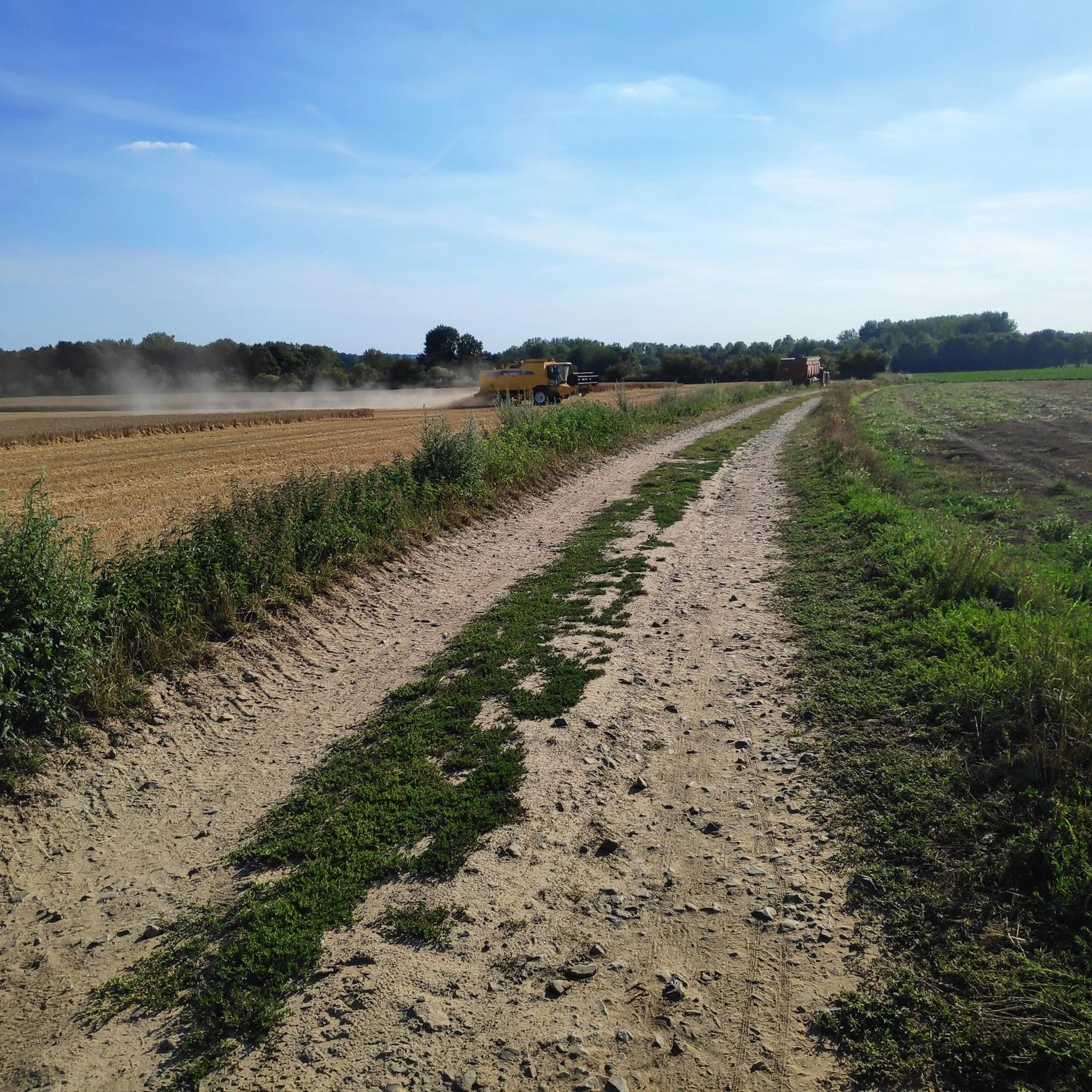
Very special place to take pictures
0
0

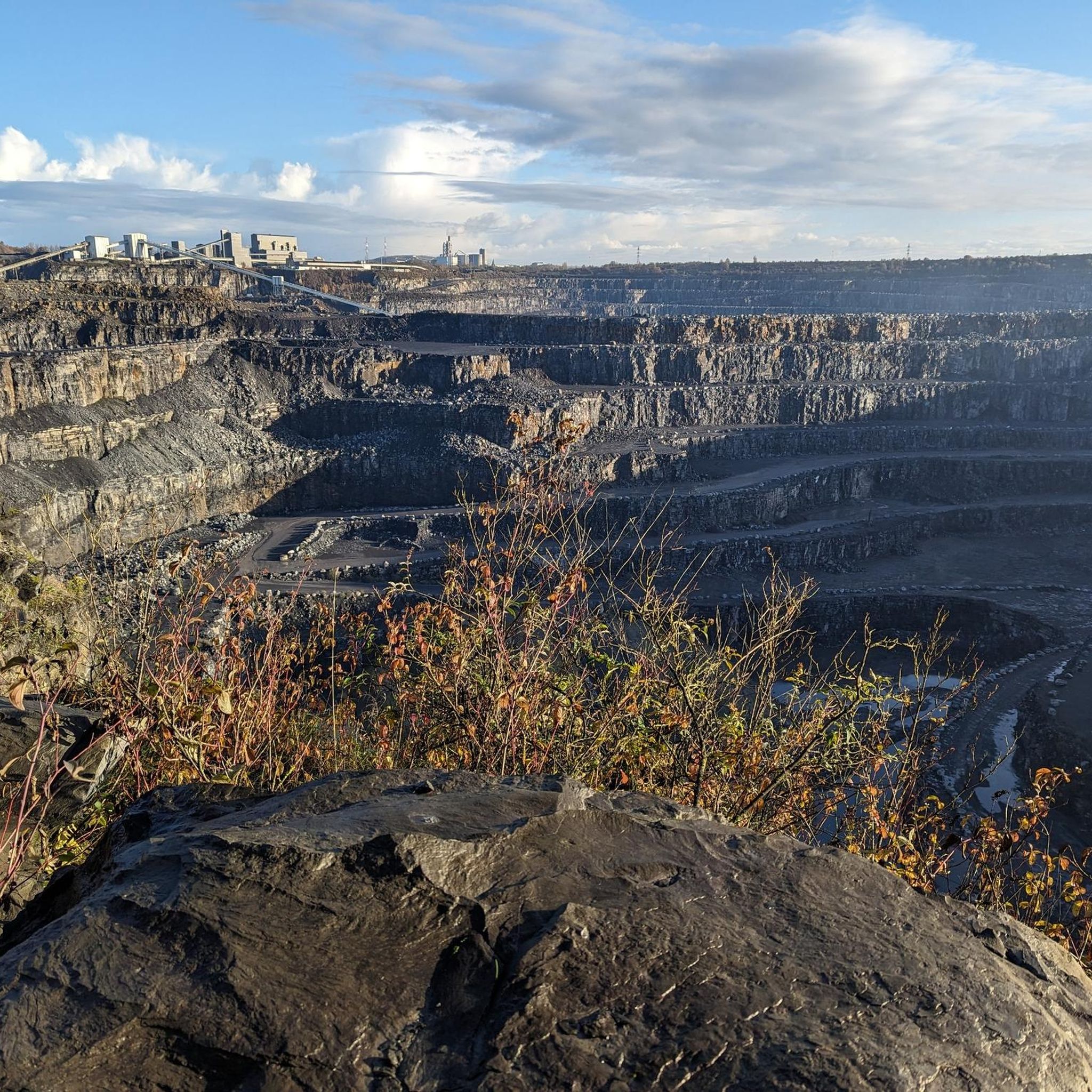
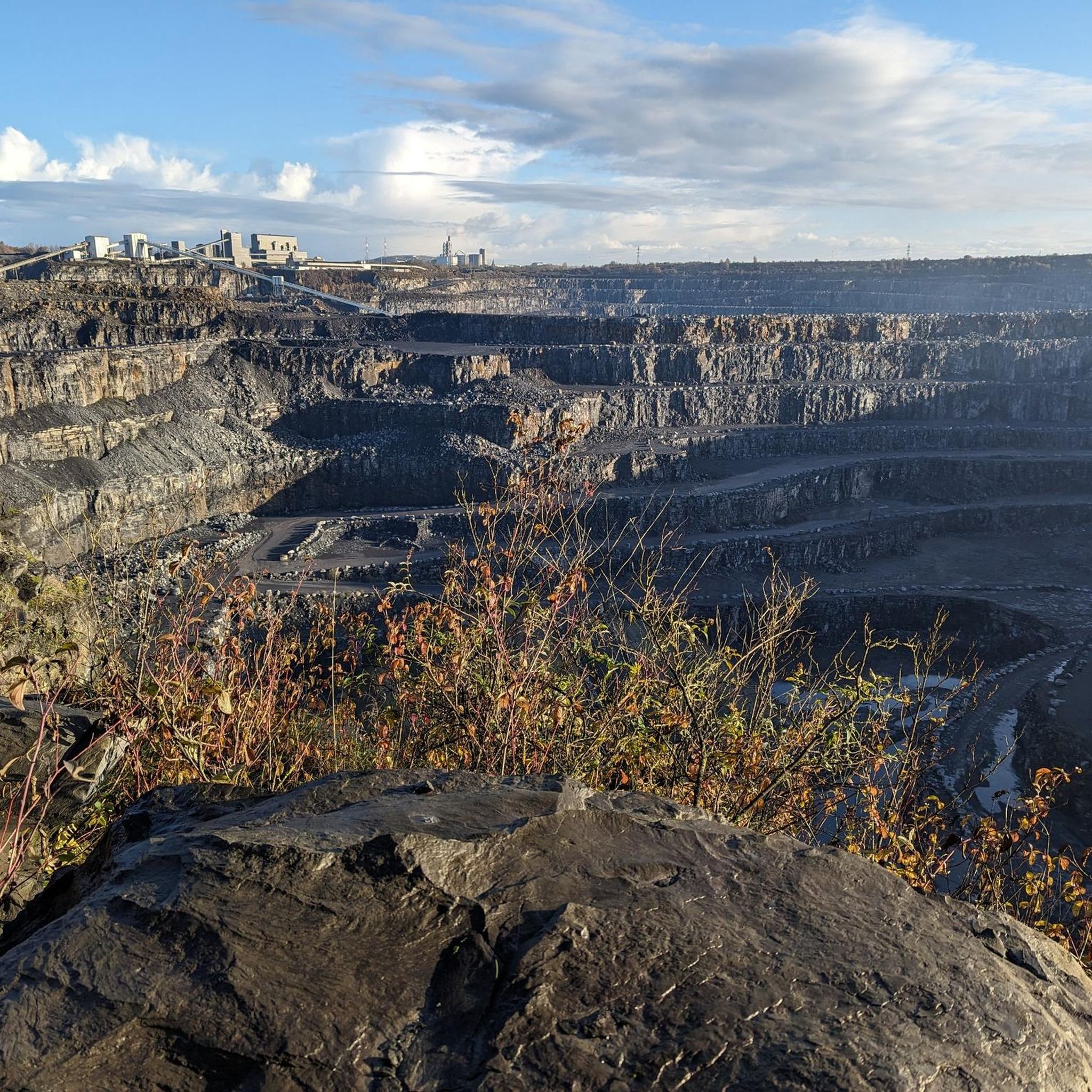
Impressive, I did not know about these, and this is huge.
0
0

The Pont des Trous, or "Bridge of Holes," is a historic Gothic bridge spanning the Scheldt River in Tournai, Belgium. It's considered one of the most significant vestiges of medieval military architecture in Belgium and a symbolic monument of Tournai https://www-crediblebh.com
5
0


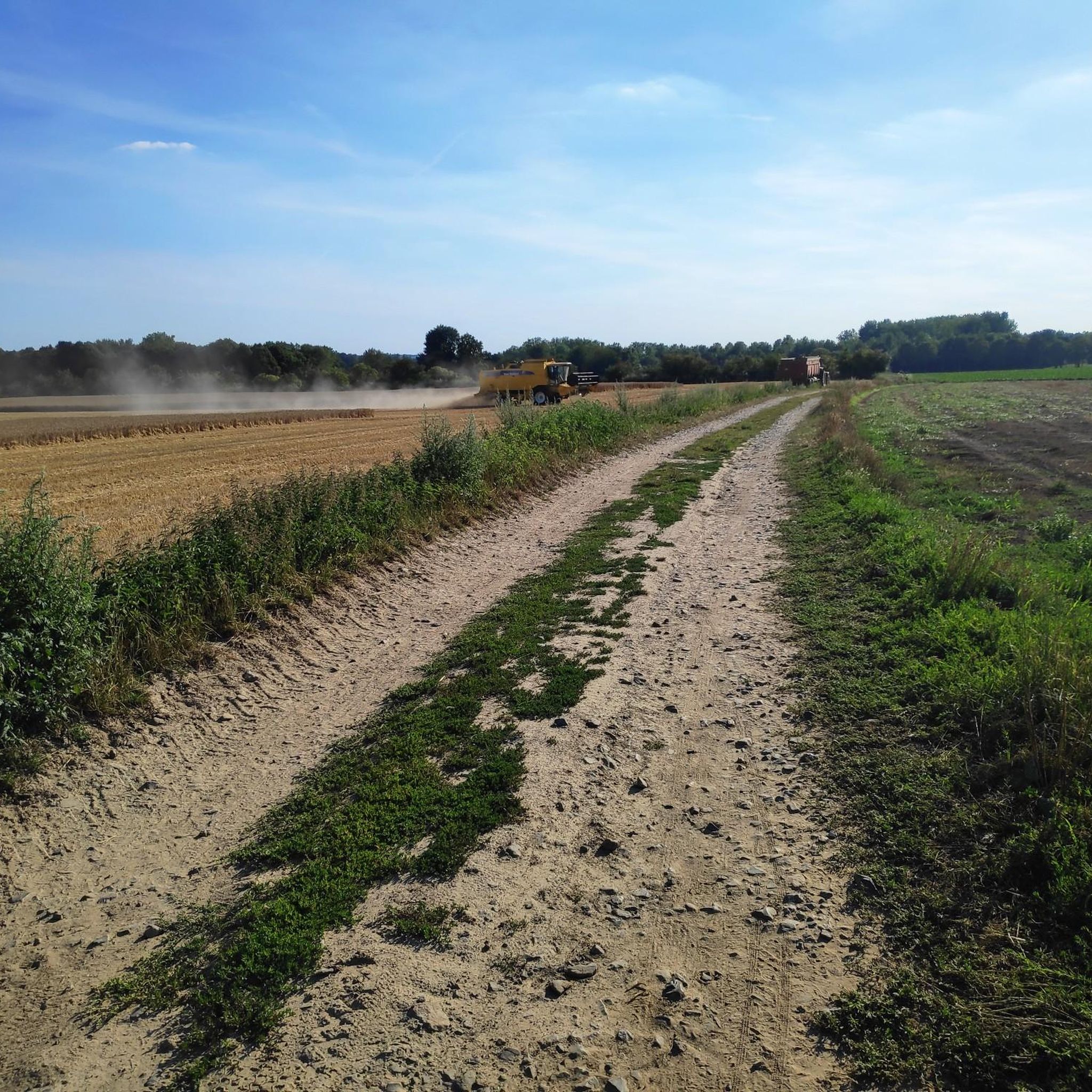
Beautiful gravel along the river
0
0

The Pont des Trous (Bridge of Holes) is one of Tournai's most famous landmarks. It is a fortified water gate of the second city wall, dating for the most part from the 14th century. This bridge spanning the Scheldt River connected the sections of the rampart on the left and right banks. The Pont des Trous consists of two towers, actually gates that provided access to the medieval city, linked by a gallery. Circular in plan, the towers present one convex face facing outwards from the city and another straight face facing inwards. This design is a strategic adaptation intended to present enemies with a facade offering no easy points of attack and fewer blind spots. Some arrow slits are also augmented with a stirrup, a bottle-shaped opening designed to improve the defense of the rampart's base, as well as a circular orifice, evidence of the fortification's adaptation to firearms. Severely damaged during the Second World War, the central arch was destroyed. The bridge was restored and its entire height raised by 2.40 meters, and its central arch widened during a highly technical operation. This modification was intended to improve and facilitate river navigation, which was constantly evolving.
4
0

For a cycling tourist, the arrival at the Roubaix velodrome is also a great moment. Even after dozens of times!
5
0
For the legend this race is, and how normal in fact the velodrome is...
4
0
Frequently Asked Questions
How many touring cycling routes are available around Antoing?
Antoing offers a wide selection of touring cycling routes, with over 70 options available on komoot. These routes cater to various preferences, including 31 easy, 26 moderate, and 13 difficult trails.
What kind of terrain can I expect when touring cycling around Antoing?
The terrain around Antoing is quite varied. You'll find a mix of lush countryside, tranquil riverside paths along the Escaut, and sections within the extensive Bon-Secours State Forest. While generally flat, areas like Mont-Saint-Aubert offer more challenging climbs, providing options for different fitness levels. Routes feature both paved and unpaved surfaces.
Are there any family-friendly touring cycling routes in Antoing?
Yes, Antoing has several easy touring cycling routes suitable for families. For instance, the The Grand Large – Château d'Arondeau loop from Maubray is an easy 20.1-mile (32.3 km) path that passes by scenic lakes and a historic château, making it a pleasant option for a family outing. Another easy route is the Marina and Old Canal – The Grand Large loop from Parc Naturel des Plaines de l'Escaut, which is shorter at 13.7 miles (22 km).
What interesting landmarks or attractions can I see along the touring cycling routes?
Many routes in Antoing pass by significant landmarks and natural features. You can cycle past the magnificent Antoing Castle, explore the historic Bon-Secours State Forest, or visit the Basilica of Our Lady of Bon-Secours. Other notable sights include the Mont-Saint-Aubert viewpoint and the historic Thimougies Mill. Routes like the Four à Chaux Ruins – Belfry of Tournai loop from Maubray connect historical ruins with the notable Belfry of Tournai.
Are there circular touring cycling routes available in Antoing?
Yes, many of the touring cycling routes around Antoing are designed as loops, allowing you to start and end at the same point. Examples include the popular Four à Chaux Ruins – Belfry of Tournai loop from Maubray, the scenic The Grand Large – Château d'Arondeau loop from Maubray, and the historical Four à Chaux Ruins – Fours Crèvecoeur Lime Kilns loop from Antoing.
What do other touring cyclists enjoy the most about cycling in Antoing?
The touring cycling routes in Antoing are highly rated by the komoot community, with an average score of 4.6 stars from over 90 reviews. Cyclists often praise the region's diverse landscapes, from tranquil riverbanks to lush forests, and the blend of historical sites with natural beauty. The variety of routes catering to different skill levels is also frequently highlighted.
When is the best time of year to go touring cycling in Antoing?
The lush countryside and varied terrain of Antoing are enjoyable throughout the warmer months. Spring and autumn offer pleasant temperatures and beautiful scenery, with fewer crowds. Summer is also a good option, though it can be warmer. Always check local weather conditions before heading out.
Are there any specific permits or regulations for cycling in Antoing?
For general touring cycling on public roads and marked trails in Antoing, no specific permits are typically required. However, always respect local signage, especially in protected natural areas like the Bon-Secours State Forest, and adhere to standard traffic laws. For specific facilities like the dedicated cycling complex, different rules may apply.
Where can I find parking near the touring cycling trails in Antoing?
Antoing and its surrounding villages offer various parking options, especially near popular starting points for routes. Many routes begin from towns like Maubray or Antoing itself, where public parking is generally available. It's advisable to check specific starting points for designated parking areas or consult local tourism information for the most convenient spots.
Can I access touring cycling routes in Antoing using public transport?
Antoing is accessible by public transport, and bringing bicycles on trains is generally possible in Belgium, though specific conditions and peak hour restrictions may apply. Check the Belgian national railway company (SNCB/NMBS) website for current regulations regarding bicycle transport. Once in Antoing, you can often cycle directly from the train station to connect with various touring routes.
Are there cafes or places to stop for refreshments along the routes?
Yes, many touring cycling routes in Antoing pass through or near villages and towns where you can find cafes, pubs, and restaurants. The region is known for its welcoming atmosphere, and you'll often find opportunities to stop for a break and enjoy local refreshments, especially in Antoing itself or nearby Tournai. Planning your route with komoot can help you identify points of interest and amenities along the way.
Are there any routes that offer a more challenging touring cycling experience?
For cyclists seeking a more demanding ride, the area around Mont-Saint-Aubert presents a notable climb, offering a good challenge with rewarding views and pleasant surroundings. The View of Mortagne-du-Nord – La Pierre Brunehaut loop from Antoing is classified as difficult, covering 41.5 miles (66.8 km) with significant elevation changes, making it suitable for experienced touring cyclists.
Most popular attractions around Antoing

Get inspired with the komoot mobile app


Explore more
Browse the best Cycling routes in other regions.
