The 7 Most Amazing Peaks around Scherpenheuvel-Zichem
Best mountain peaks around Scherpenheuvel-Zichem are characterized by a gently undulating landscape of hills and elevated areas. The region's topography features an average elevation of 29 meters, with the highest point reaching 77 meters. These elevated features and natural attractions offer scenic views and recreational opportunities for outdoor enthusiasts. The area provides a diverse landscape of forests, fens, marshes, and heathlands.
Best mountain peaks around Scherpenheuvel-Zichem
- The most popular mountain peaks is Troostemberg Forest, a forest that features high-altitude…
Last updated: July 1, 2026
Troostemberg Forest
Highlight • Forest
Translated by Google •
Tip by

De Asberg
Highlight • Summit
Translated by Google •
Tip by

Sign up now to discover places like this
Get recommendations on the best single tracks, peaks, & plenty of other exciting outdoor places.
Sign up for free
Eikelberg
Highlight • Summit
Translated by Google •
Tip by
Unpaved sunken lane along the Mettenberg
Highlight (Segment) • Trail
Translated by Google •
Tip by
Summit of the Balenberg
Highlight • Summit
Translated by Google •
Tip by

Sign up for free to discover even more peaks around Scherpenheuvel-Zichem.
Sign up for free
Already have an account?
Start today with a free account
Your next adventure awaits.
Login or Signup
Popular around Scherpenheuvel-Zichem

From Flanders to the Ardennes — GR 5 in Belgium
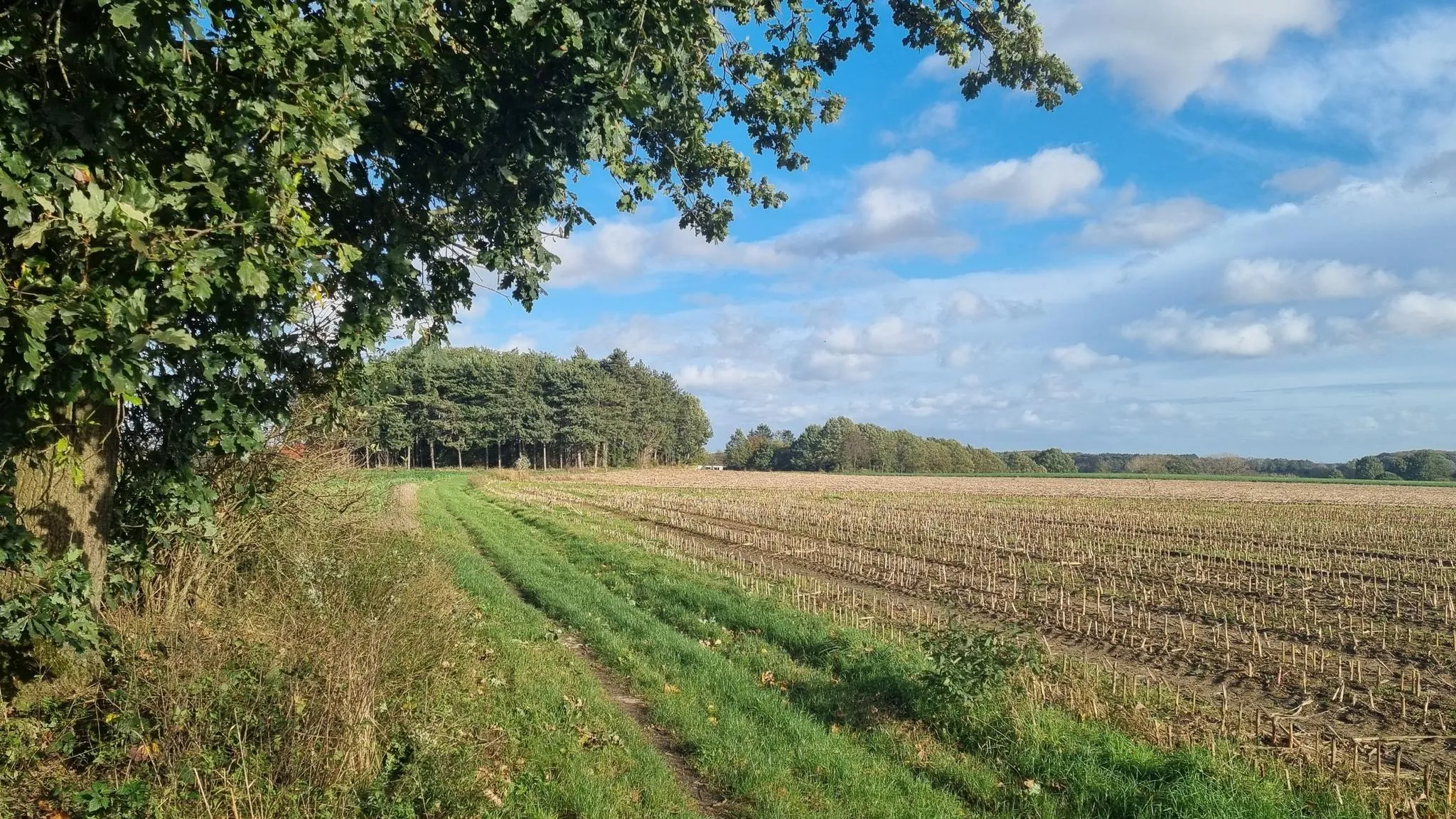
Streek-GR Hageland – Hollow roads and endless fields
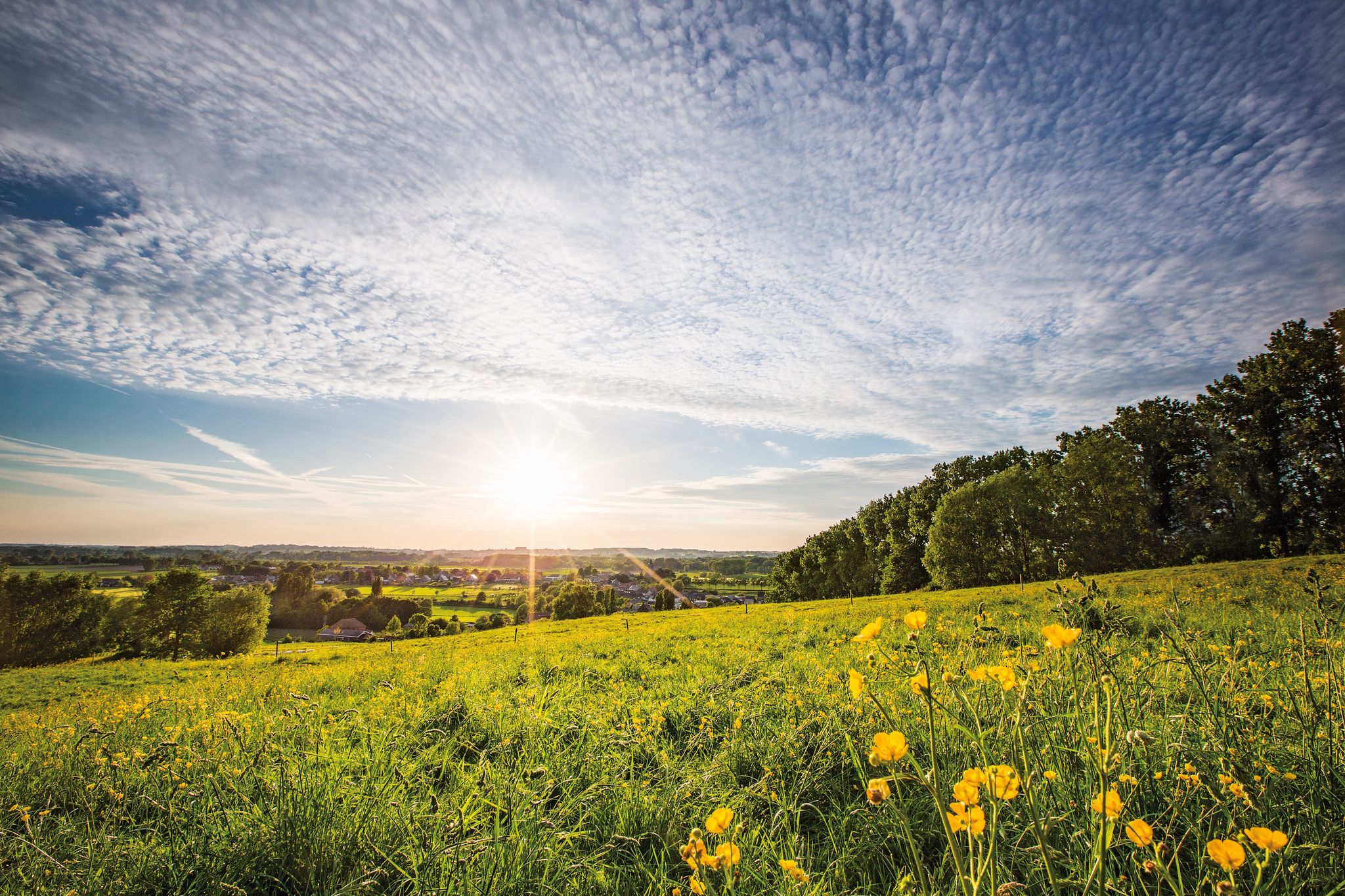
Belgium's best – the most beautiful hiking routes in Flanders
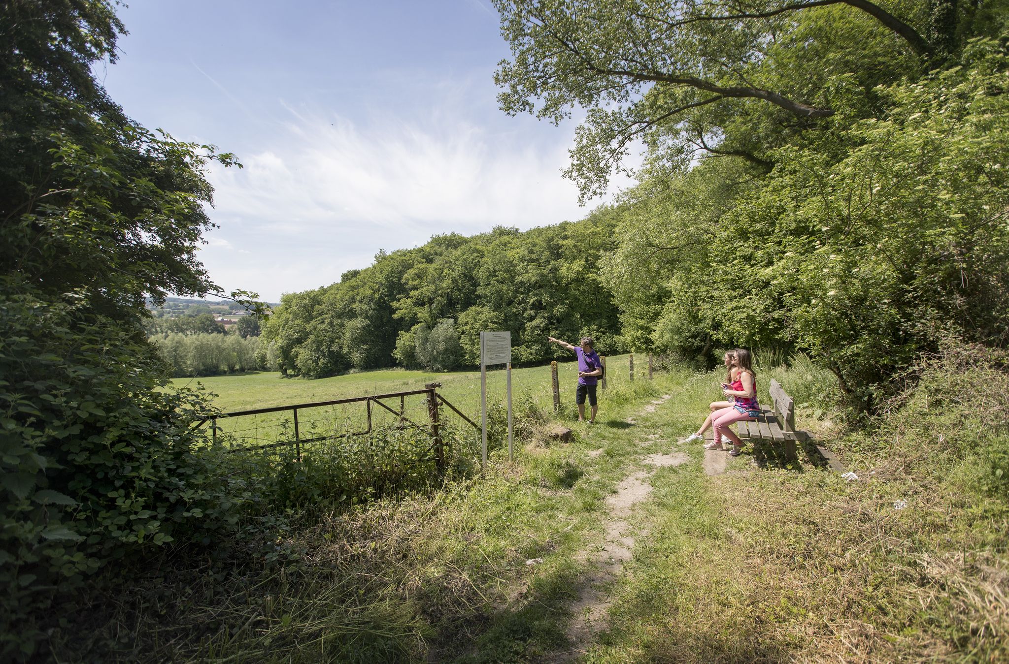
Belgium's Flanders region — the new hiking destination
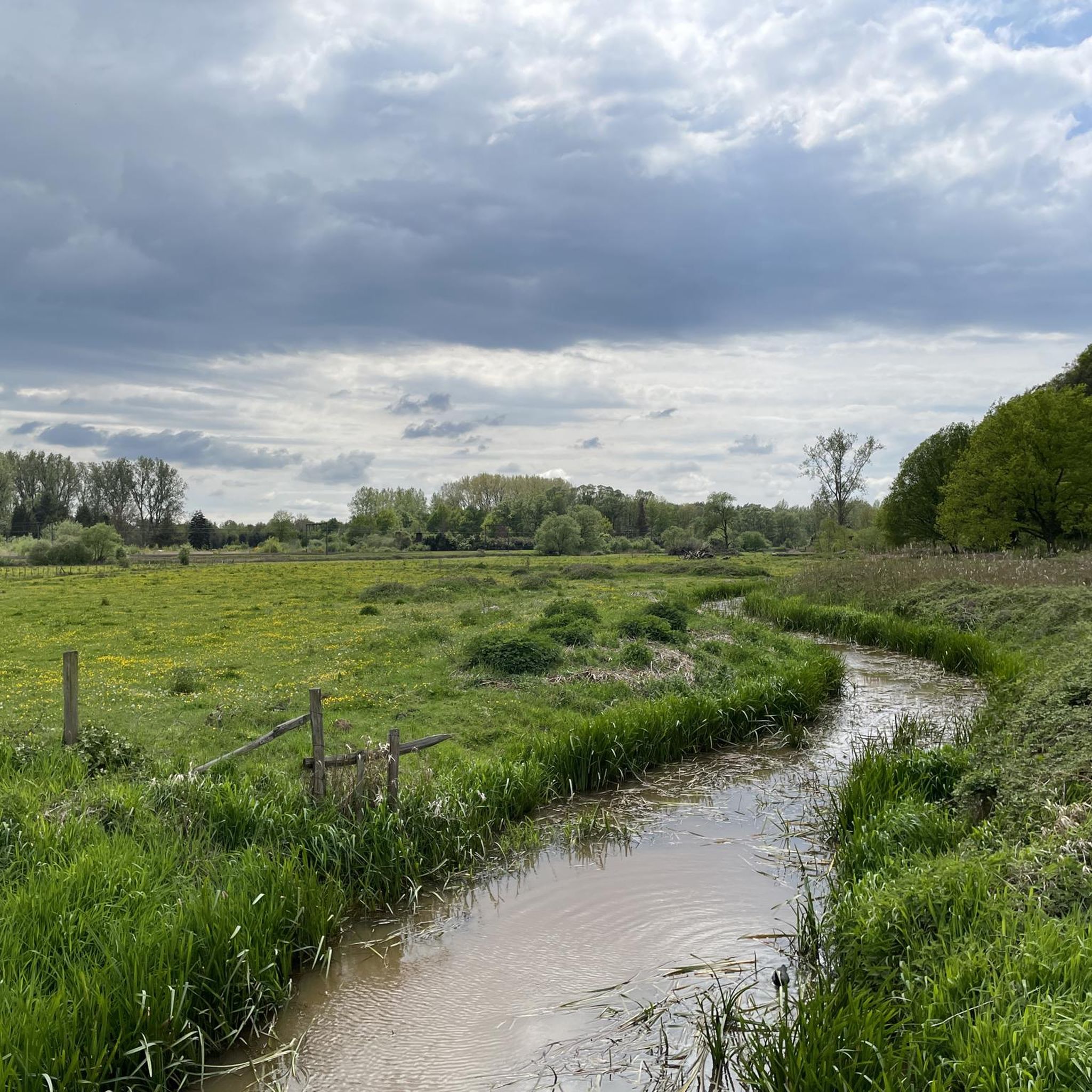
Hiking around Scherpenheuvel-Zichem
MTB Trails around Scherpenheuvel-Zichem
Road Cycling Routes around Scherpenheuvel-Zichem
Cycling around Scherpenheuvel-Zichem
Running Trails around Scherpenheuvel-Zichem
Gravel biking around Scherpenheuvel-Zichem
Other adventures around Scherpenheuvel-Zichem


Tips from the Community

Beautiful forest with many large and old deciduous trees. The forest is situated on a hill, offering beautiful views of the surrounding area.
0
0

The Asberg is the highest point in Westerlo, a 24-meter-high sand dune. Rumors circulate that the hill was once used as a cemetery. Evidence of this was found when part of the hill was excavated in 1860. Urns containing ashes from cremations were unearthed. Other rumors tell the story of the Elves (Alfen) who once lived here, which is why the hill is also called the Alverberg. (Visit DeMerode)
9
0

Old unpaved footpaths are still common in the agricultural area between Halen and Loksbergen. The road layout has changed relatively little between the 17th century and the present. East of these roads lies the Betserbaan, which played a key role in the Battle of Halen. Of interest is this Kanoniersstraat, which is unpaved for its entire length between the Betserbaan and the Kauwplasstraat (1.6 km) and has a cart track as its base. Where this road crosses the summit of the Mettenberg, it cuts into the flanks, creating a sunken lane with wooded banks on the verge. These wooded banks belong to the category of "indigenous trees and shrubs," with the most common species being robinia, oak, and hawthorn. Historically, the Kanoniersstraat was the old connecting road between Halen and Leuven across the interfluve of the Ketelbeek and IJzerenbeek (demonstrable by a 17th-century tithe map). It has since lost its role as a connecting road. Kanoniersstraat has now been given a purely local role, allowing it to retain its authentic appearance as an old road. Inventory of Immovable Heritage: Sunken Roads, https://id.erfgoed.net/erfgoedobjecten/300954
1
0

The Balenberg in Baal is much more than just a hill. This is the home base of the Sven Nys Cycling Center, where sports, nature and experience come together. With its modest height, the Balenberg is an ideal place for those who want to test their legs on a short climb, but also for families who like to walk or cycle in a green environment. At the top of the hill you can enjoy a beautiful view over the Hageland, and in the museum you can discover the impressive story of cyclo-cross legend Sven Nys. The surrounding routes take you over gravel paths, sunken roads and quiet country roads — perfect for both the sporty cyclist and the recreational walker. A stop at the Balenberg is a must during your trip in the heart of Flemish Brabant!
1
0

A sunken road is a road that is so deeply worn that it lies between two slopes. It is the result of centuries of use and erosion. The most beautiful sunken roads can be found especially in hilly areas with a subsoil that easily forms steep walls, such as in Haspengouw and Hageland.
2
0

A shady path...
0
0
Frequently Asked Questions
What are some notable elevated points or 'peaks' to explore in Scherpenheuvel-Zichem?
While Scherpenheuvel-Zichem features a gently undulating landscape rather than towering mountains, you can explore several elevated points. The highest point is Eggersberg at 77 meters. Other significant spots include the hill with the Basilica of Our Lady of Scherpenheuvel, Troostemberg Forest, and the Eikelberg. These areas offer scenic views and recreational opportunities.
Are there family-friendly elevated areas or trails in the region?
Yes, several spots are suitable for families. The Troostemberg Forest is particularly family-friendly, offering a play zone, a play meadow, and hiking trails. De Asberg also provides a lovely spot with benches for resting where children can enjoy themselves. The Summit of the Balenberg is another great option for families to walk or cycle in a green environment.
Where can I find the highest point in Scherpenheuvel-Zichem?
The highest natural point in the municipality of Scherpenheuvel-Zichem is Eggersberg, reaching an elevation of 77 meters. It offers expansive views of the surrounding Hageland landscape.
What kind of views can I expect from these elevated points?
You can expect picturesque panoramic views of the surrounding Hageland landscape. From Eggersberg, you get broad vistas. The Eikelberg offers a beautiful view of Gelrode, and from the Summit of the Balenberg, you can enjoy a scenic overview of the Hageland. The Maagdentoren in Zichem, while a man-made structure, provides 360° views of the Demerbroeken nature reserve and the village, including the Basilica of Scherpenheuvel.
Are there any historical sites associated with the elevated points?
Yes, the town of Scherpenheuvel itself is situated on a hill where the iconic Basilica of Our Lady of Scherpenheuvel stands, a significant pilgrimage site. Additionally, the Maagdentoren (Maiden's Tower) in Zichem is a historic structure located in an elevated position, offering panoramic views and a glimpse into the region's past.
What outdoor activities can I do near the elevated points in Scherpenheuvel-Zichem?
The region offers a variety of outdoor activities. You can find excellent routes for gravel biking, running, and road cycling. The Troostemberg Forest, for instance, has hiking trails, a bivouac zone, and a climbing area with a rope.
Are there specific hiking trails recommended for exploring the elevated areas?
Absolutely. The Troostemberg Forest is known for its hiking trails, some with sometimes steep climbs, and is full of old beech trees. You can also explore the area around the Eikelberg, which is a forest on a ridge, or the trails leading to De Asberg, the highest point in Westerlo.
Can I bring my dog on trails around these elevated points?
Yes, the Troostemberg Forest specifically features an off-leash dog zone, making it a great option for walking with your canine companion. Always ensure to check local regulations for other trails.
What is the best time of year to visit Scherpenheuvel-Zichem for exploring its elevated landscapes?
The region's elevated landscapes, forests, and nature reserves are beautiful year-round. Spring offers blooming flora, while autumn provides vibrant foliage. Summer is ideal for longer days and outdoor activities. Even in winter, the dry forests like Troostemberg can offer serene, sometimes steep, walks.
Are there any challenging climbs or trails for experienced hikers?
While not alpine climbing, some areas offer more challenging terrain. The Troostemberg Forest features sometimes steep climbs. The Balenberg offers a short but notable climb, and the Unpaved sunken lane along the Mettenberg provides a bit of an increase for altimeter seekers.
Where can I find parking when visiting these elevated areas?
For the Troostemberg Forest, there is a dedicated parking lot for hikers at the beginning of Kasteeldreef (from the road to Aarschot), accessible via a signposted short path.
What makes the Troostemberg Forest a popular spot?
The Troostemberg Forest is popular due to its diverse offerings in a relatively small area. It features high-altitude terrain with old beech trees, hiking trails, a bivouac zone, a play zone, a climbing area with a rope, a play meadow, and an off-leash dog zone. From certain avenues, you can also enjoy a beautiful frontal view of Kleerbeek Castle.
Are there any unique natural features like sunken lanes to explore?
Yes, you can explore unique natural features such as the Unpaved sunken lane along the Mettenberg. Sunken roads are deeply worn paths lying between two slopes, formed by centuries of use and erosion, and are characteristic of the Hageland region. This particular lane is located between fields and orchards and offers a slight elevation gain.
Most popular routes around Scherpenheuvel-Zichem
Most popular attractions around Scherpenheuvel-Zichem

Get inspired with the komoot mobile app


Explore more
See even more amazing summits around Scherpenheuvel-Zichem with these guides:
