The best walks and hikes around Bad Waltersdorf
4.5
(415)
3,337
hikers
150
hikes
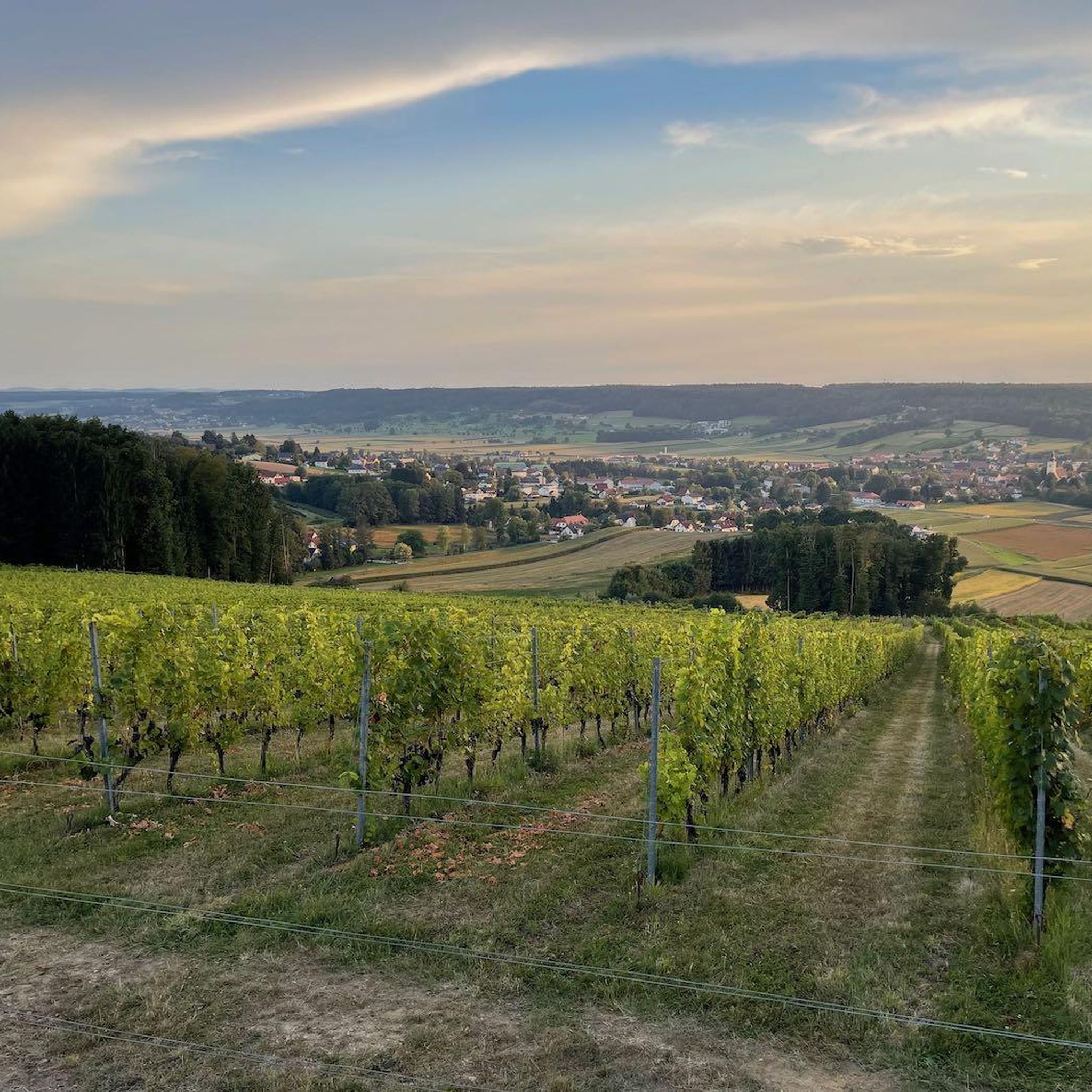
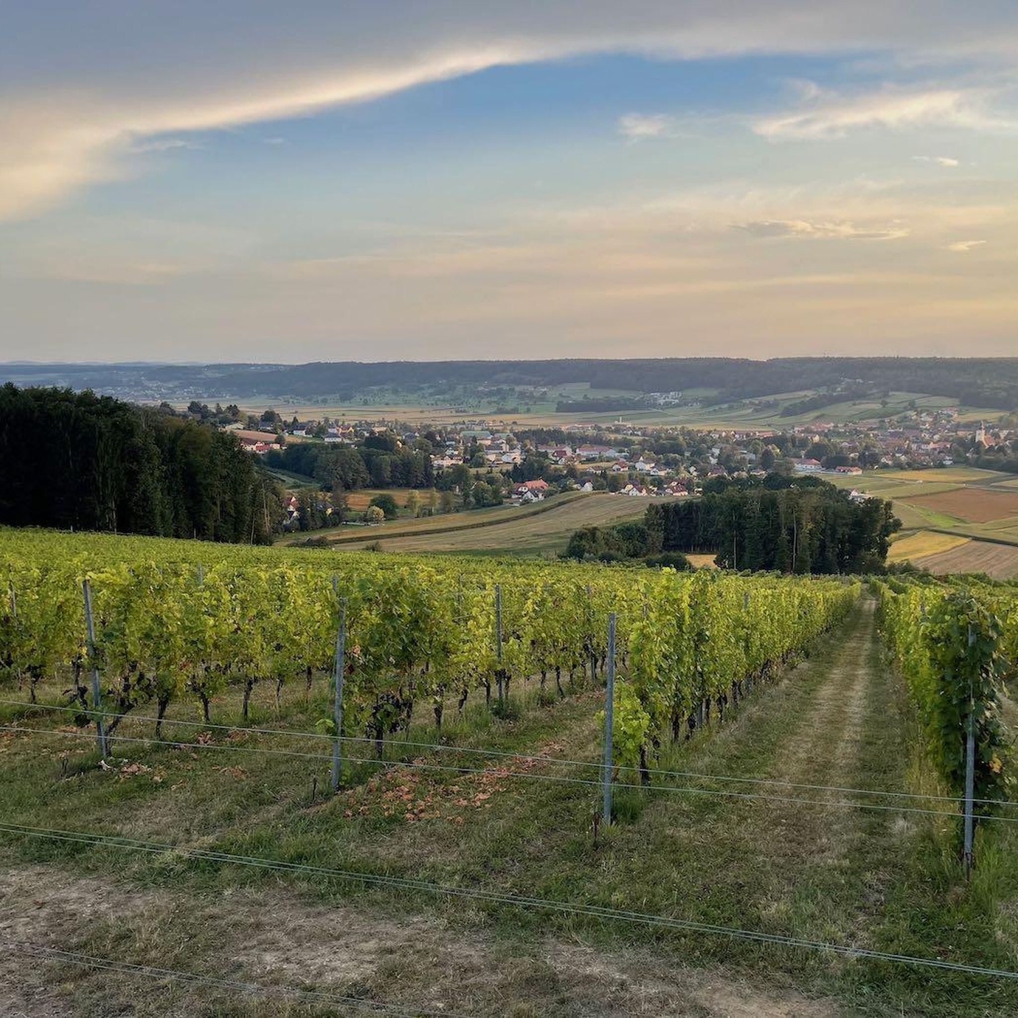
Hiking around Bad Waltersdorf offers routes through a gently rolling landscape characterized by green meadows, idyllic forests, and picturesque vineyards. The terrain features slight elevation changes, making it accessible for various fitness levels. Natural features include the Anglerteich Wagerberg and the unregulated Lafnitz river, known for its significant biotope.
Best hiking trails around Bad Waltersdorf
- The most popular hiking route is Bench in the Forest – Waldschenke Burgau loop from Bad Waltersdorf, a 5.9 miles (9.5 km) trail that takes 2 hours 32 minutes to complete. This moderate route leads through varied forest landscapes.
- Another top favourite among local hikers is Mariensäule and Frog Fountain – Wine tavern and vineyards loop from Zugvogelschutzgebiet Leitersdorf, a moderate 7.1 miles (11.5 km) path. This route explores local vineyards and offers scenic views.
- Local hikers also love the Anglerteich Wagerberg – Fish pond with a resting spot loop from Bad Waltersdorf, a 6.3 miles (10.1 km) trail leading through meadows and past natural water features, often completed in about 2 hours 43 minutes.
- Hiking around Bad Waltersdorf is defined by rolling hills, expansive meadows, and dense forests, with routes often passing vineyards and natural ponds. The network offers options for various ability levels, from easy walks to moderate hikes.
- The routes in Bad Waltersdorf are highly rated by the komoot community with an average score of 4.5 stars from over 300 reviews. More than 3000 hikers have used komoot to explore Bad Waltersdorf's varied terrain.
Last updated: October 16, 2026
4.8
(27)
207
hikers
Moderate hike. Good fitness required. Easily-accessible paths. Suitable for all skill levels.
4.6
(25)
144
hikers
Easy hike. Great for any fitness level. Easily-accessible paths. Suitable for all skill levels.

4.5
(22)
135
hikers
Moderate hike. Good fitness required. Easily-accessible paths. Suitable for all skill levels.
4.8
(29)
156
hikers
Moderate hike. Good fitness required. Easily-accessible paths. Suitable for all skill levels.
4.1
(16)
113
hikers
Moderate hike. Good fitness required. Easily-accessible paths. Suitable for all skill levels.
Get access to more routes and recommendations from other explorers.
Already have an account?
Our route recommendations are based on thousands of hikes, rides, and runs completed by other people on komoot.
Start today with a free account
Your next adventure awaits.
Popular around Bad Waltersdorf
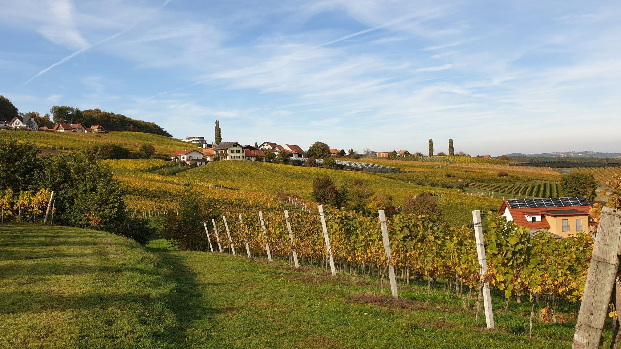
Hiking in Eastern Austria – Culinary delights, culture and charm

Discover Styria in Austria on foot – ‘From Glacier to Wine’ North Route
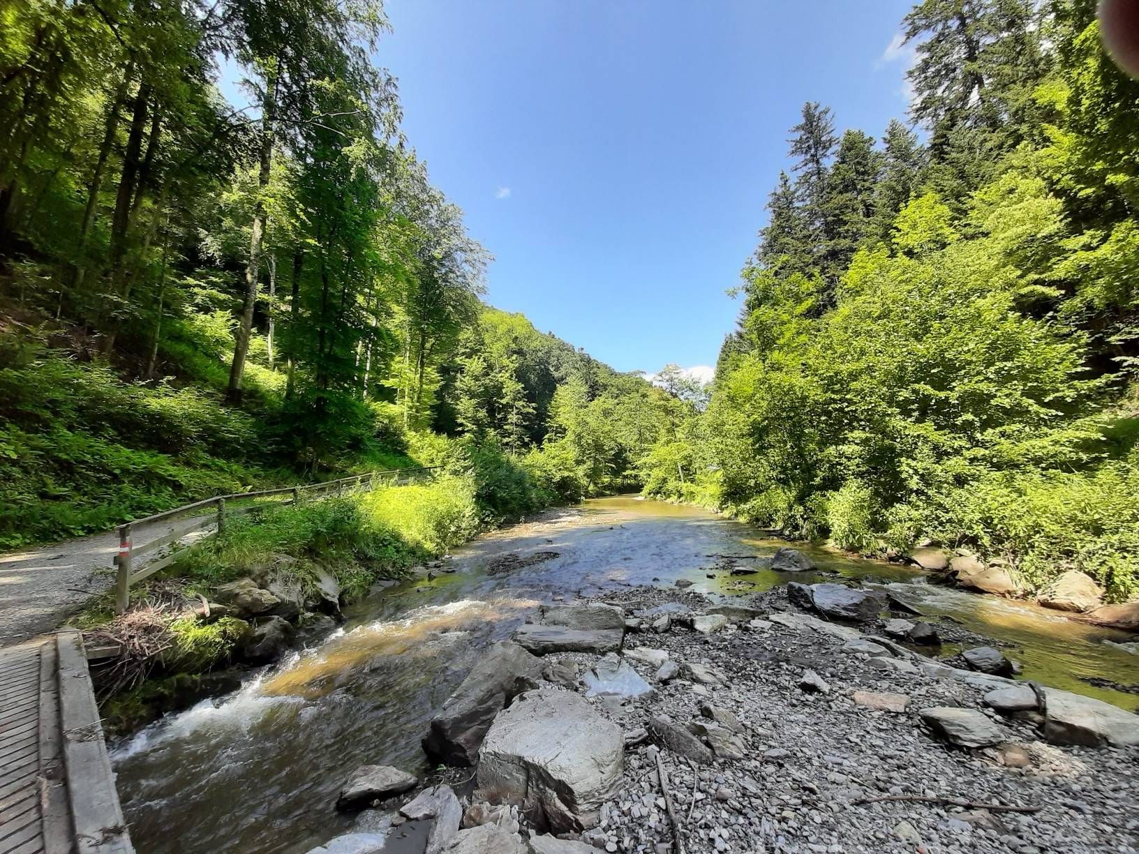
The Styrian Wine Country Cycle Trail – exploring Austria's wine culture
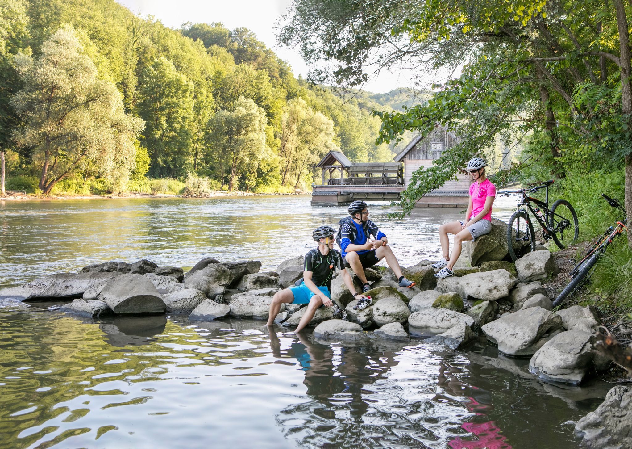
Cycle through thermal and volcanic countryside in Austria’s Styria
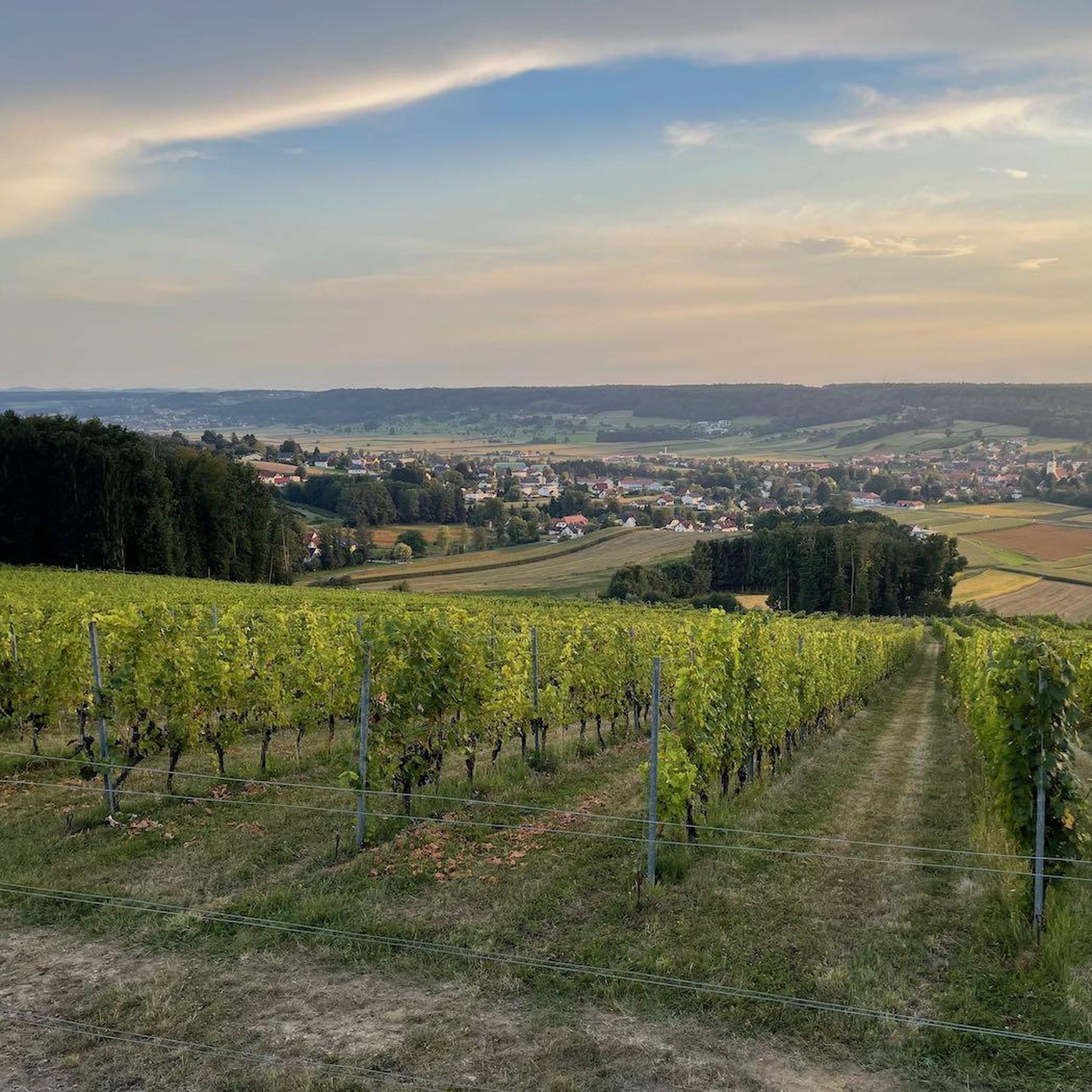
Cycling around Bad Waltersdorf
Running Trails around Bad Waltersdorf
MTB Trails around Bad Waltersdorf
Road Cycling Routes around Bad Waltersdorf

Gravel biking around Bad Waltersdorf
Other adventures around Bad Waltersdorf


Tips from the Community

Good food, can only recommend!!!!!!
0
0

Very good food in a friendly and quiet environment!
0
0

A charming little fish pond, right next to the path. You'll also find a bench here to rest on.
0
0
A bench with a wonderful view over Bad Waltersdorf. Take a break and simply enjoy.
0
0
You'll find a shrine with a rest area here, complete with a beautiful view.
0
0
You'll find plenty of seating and a small, charming chapel here, with plenty of room even for smaller groups.
0
0
A beautiful, well-maintained facility with plenty of places to rest. Even in the rain, there's a kind of shelter here.
0
0
You can find a largely natural pond here.
0
0
Frequently Asked Questions
How many hiking trails are available in Bad Waltersdorf?
Bad Waltersdorf boasts an extensive network of marked hiking trails. You'll find over 150 routes recorded on komoot, offering diverse options for all preferences. The region itself has approximately 200 km of marked trails.
What kind of terrain can I expect on hikes around Bad Waltersdorf?
The landscape around Bad Waltersdorf is characterized by gently rolling hills, green meadows, idyllic forests, and picturesque vineyards. The terrain features slight elevation changes, making most routes accessible for various fitness levels. You won't encounter major altitude differences, but rather charming, varied scenery.
What is the best time of year to go hiking in Bad Waltersdorf?
Bad Waltersdorf is enjoyable for hiking throughout much of the year. Spring and autumn are particularly pleasant, with mild temperatures and beautiful natural colors. The region's gentle terrain also makes it suitable for walks in warmer summer months, especially through shaded forest sections. Winter hiking is also possible, though conditions may vary.
Are there easy hiking trails suitable for beginners or casual walkers?
Yes, Bad Waltersdorf offers many easy hiking options. Out of the over 150 routes available, 85 are classified as easy. These trails are perfect for beginners, families, or anyone looking for a relaxed stroll through the scenic landscape. An example of an easy route is the Waldschenke Burgau – Bench in the Forest loop from Bad Waltersdorf.
Are there any challenging hikes in the Bad Waltersdorf area?
While the region is known for its gentle, rolling landscape, there is at least one route classified as difficult among the 150+ trails. Most routes fall into the easy or moderate categories, making it more suitable for those seeking enjoyable walks rather than strenuous climbs. For more challenging options, you might consider longer stages of the 07 Eastern Austrian Border Trail that pass through the area.
Are there family-friendly hiking options in Bad Waltersdorf?
Absolutely. The gently rolling hills and well-marked paths make many trails ideal for families. Routes that pass by natural features like the Anglerteich Wagerberg or through varied forest landscapes are often popular with children. The Geier Adventure Park also offers a forest high ropes course for a more adventurous family outing.
Can I bring my dog on the hiking trails in Bad Waltersdorf?
Generally, dogs are welcome on hiking trails in Bad Waltersdorf. It's always recommended to keep your dog on a leash, especially in agricultural areas, near livestock, or in nature protection zones like the Lafnitz river biotope. Please ensure you carry water for your dog and clean up after them.
Are there circular hiking routes available in Bad Waltersdorf?
Yes, many of the hiking trails in Bad Waltersdorf are designed as circular routes, allowing you to start and end at the same point without retracing your steps. The Bench in the Forest – Waldschenke Burgau loop from Bad Waltersdorf is a popular example, as is the Anglerteich Wagerberg – Fish pond with a resting spot loop from Bad Waltersdorf.
What natural features or landmarks can I see while hiking around Bad Waltersdorf?
The region offers a variety of natural and cultural sights. You can explore the significant biotope of the unregulated Lafnitz river, visit the scenic Anglerteich Wagerberg, or marvel at the ancient Thousand-Year-Old Oak. Trails also lead through picturesque vineyards and past traditional Buschenschänken. The Hartberger Gmoos is another notable natural area nearby.
Are there any cultural or historical sights along the trails?
Yes, beyond natural beauty, you can encounter cultural elements. Many trails pass by traditional "Buschenschänken" (wine taverns) and farm producers like Hofladen Janisch, offering insights into local agriculture and culinary delights. The Parish Church of St. Stefan in Hofkirchen and the Maria Fieberbründl Pilgrimage Site are also notable points of interest in the wider area.
Where can I find parking for hiking trails in Bad Waltersdorf?
Many trailheads in and around Bad Waltersdorf offer designated parking areas. Given the region's focus on tourism and outdoor activities, you'll often find parking available near popular starting points, local inns, or attractions like the Heilthermen Resort. It's advisable to check specific route descriptions for detailed parking information.
Is public transport an option to reach hiking trailheads in Bad Waltersdorf?
Bad Waltersdorf is generally well-connected within the region, and public transport can be an option for reaching some trailheads. Local bus services connect the main town with surrounding villages. For specific routes, it's best to check local bus schedules and connections to plan your journey to and from the starting points.
What do other hikers say about the trails in Bad Waltersdorf?
The hiking trails in Bad Waltersdorf are highly regarded by the komoot community, with an average rating of 4.5 stars from over 360 reviews. Hikers often praise the well-maintained paths, the serene atmosphere of the forests and meadows, and the charming views across the rolling landscape. The variety of routes, from easy strolls to moderate hikes, is also frequently highlighted.
Most popular routes around Bad Waltersdorf
Most popular attractions around Bad Waltersdorf

Get inspired with the komoot mobile app


Explore more
Browse the best Hikes in other regions.
