The best road cycling routes around Bad Gastein
4.5
(53)
1,739
riders
12
rides
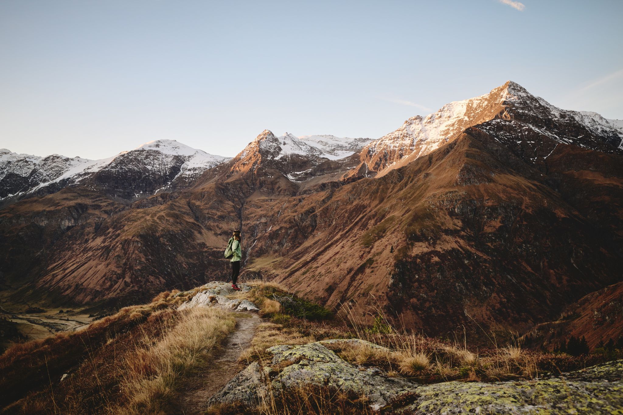
Road cycling around Bad Gastein offers diverse terrain within the Gastein Valley, characterized by the Gasteiner Ache river and surrounded by the High Tauern Mountains. The region features a mix of flat valley paths and challenging ascents into the surrounding alpine landscape. Cyclists encounter dramatic peaks, some with glaciated summits, and can explore areas like the Kötschach Valley. The topography provides varied gradients suitable for different road cycling preferences.
Best road cycling routes around Bad Gastein
- The most popular road…
Last updated: October 11, 2026
4.6
(16)
558
riders
Moderate road ride. Good fitness required. Mostly well-paved surfaces and easy to ride.
4.7
(9)
345
riders
142km
06:22
1,390m
1,390m
Hard road ride. Very good fitness required. Some segments of this route may be unpaved and difficult to ride.

4.5
(4)
224
riders
34.9km
01:37
240m
240m
Moderate road ride. Great for any fitness level. Some segments of this route may be unpaved and difficult to ride.
4.8
(8)
202
riders
68.0km
03:06
700m
700m
Moderate road ride. Good fitness required. Some segments of this route may be unpaved and difficult to ride.
4.4
(5)
115
riders
142km
07:32
2,580m
2,580m
Hard road ride. Very good fitness required. Some segments of this route may be unpaved and difficult to ride.
Get access to more routes and recommendations from other explorers.
Already have an account?
Our route recommendations are based on thousands of hikes, rides, and runs completed by other people on komoot.
Start today with a free account
Your next adventure awaits.
Popular around Bad Gastein
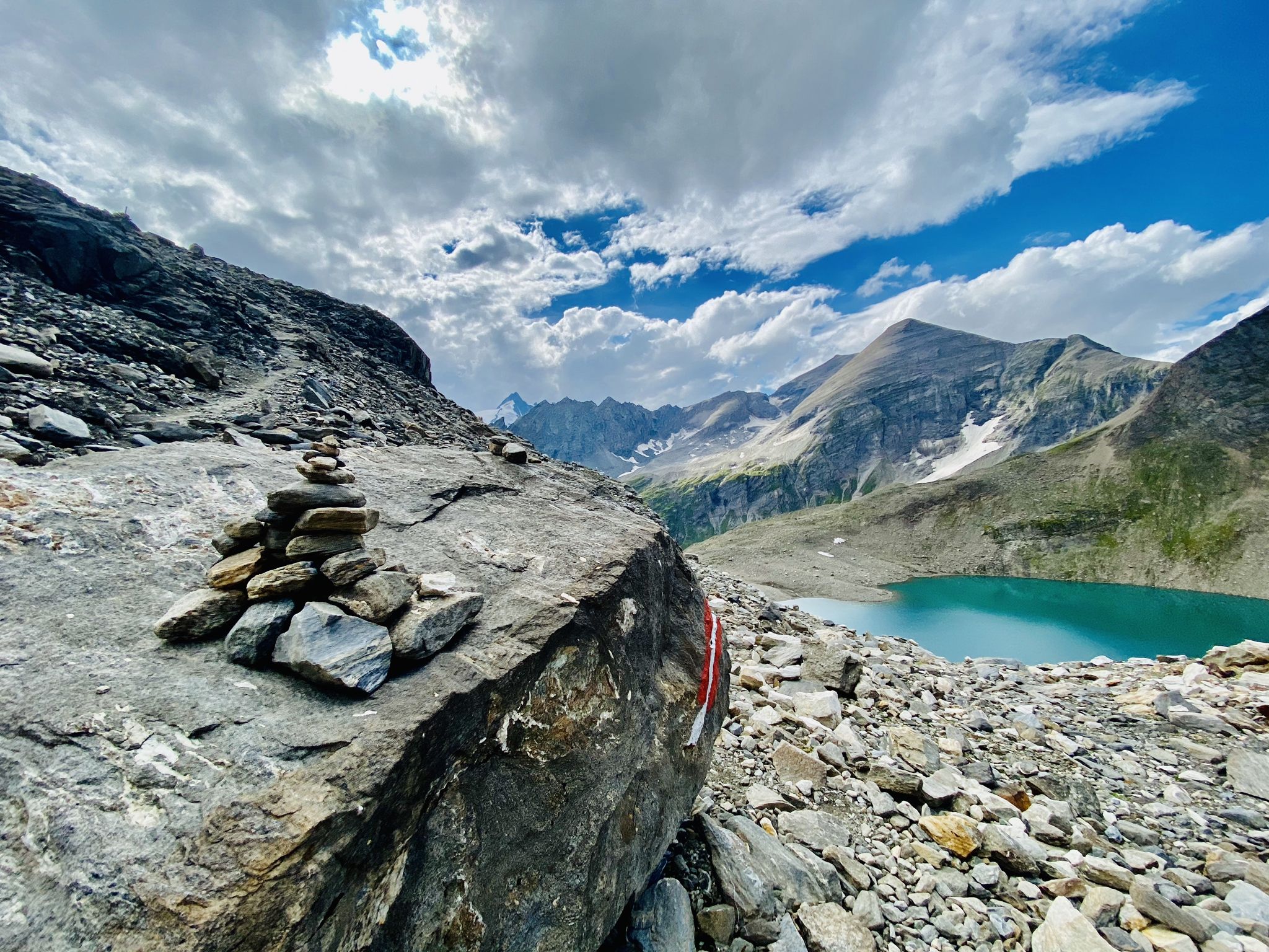
The Tauernhöhenweg – Once across the Hohe Tauern
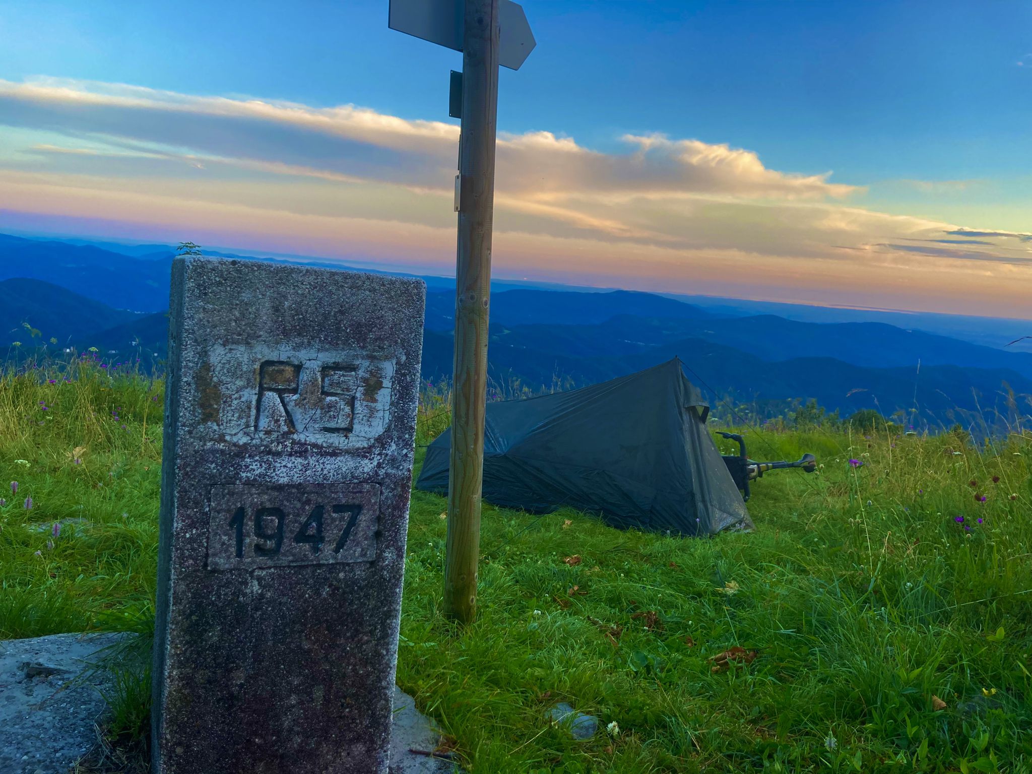
From Bavaria to the Adriatic - My Bikepacking Adventure to Croatia 2023
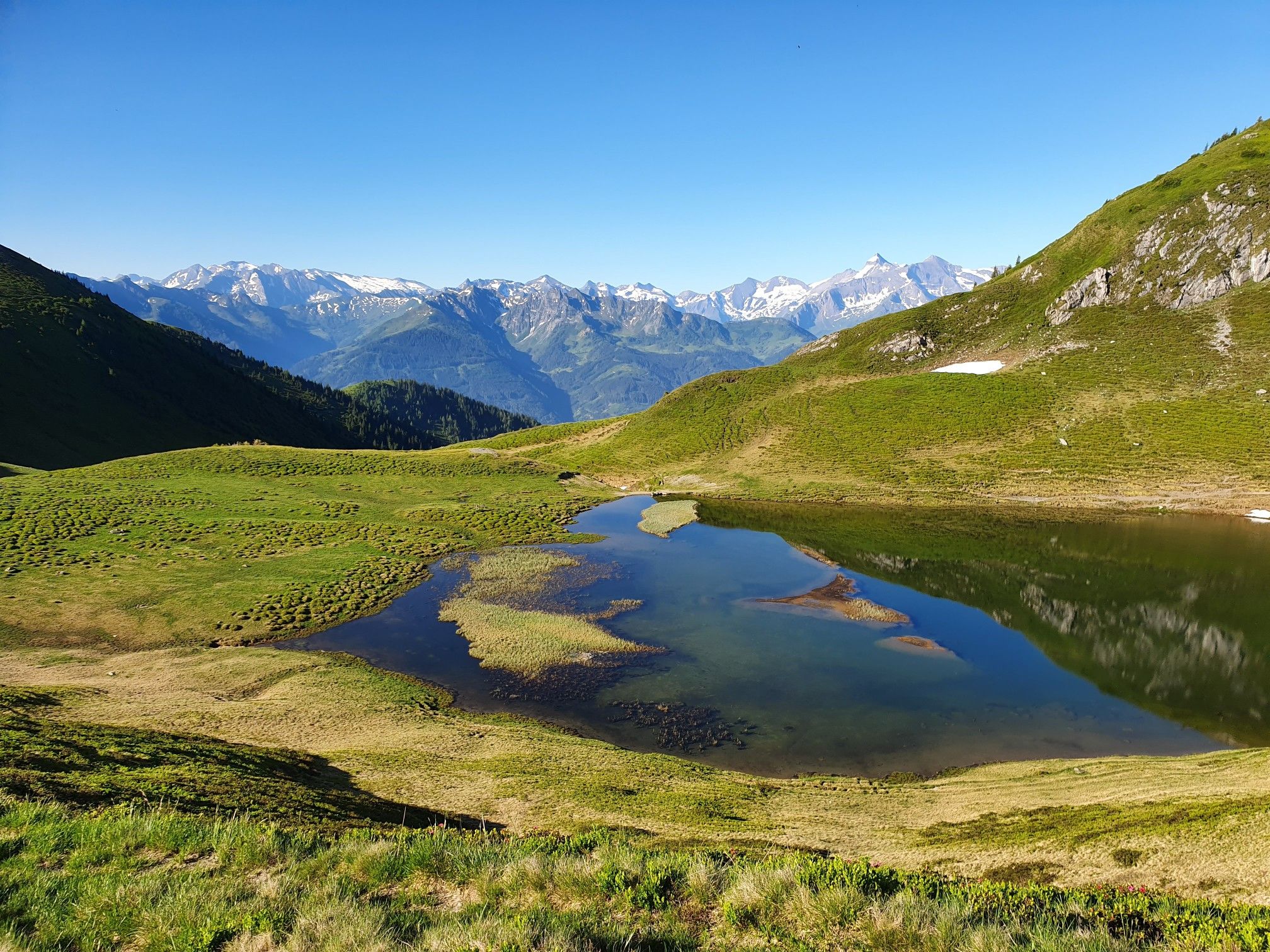
Hohe Tauern Panorama Trail – Face-to-face with 3000-metre peaks

Ruperti Trail – Hike from Austria's Bohemian Forest to the Carnic Alps
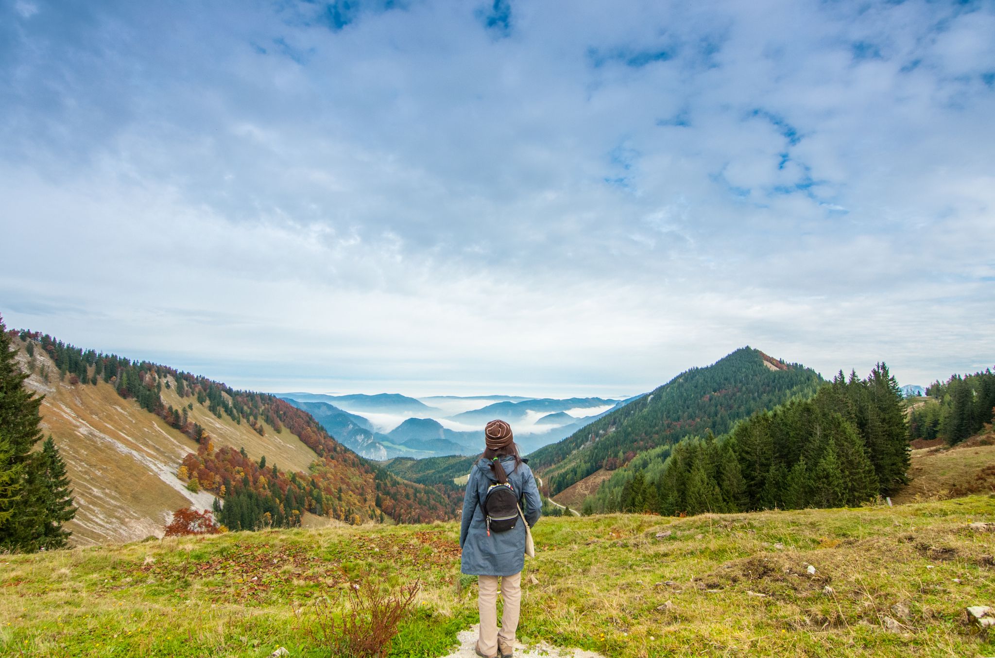
The Arnoweg – a circular hike through the province of Salzburg
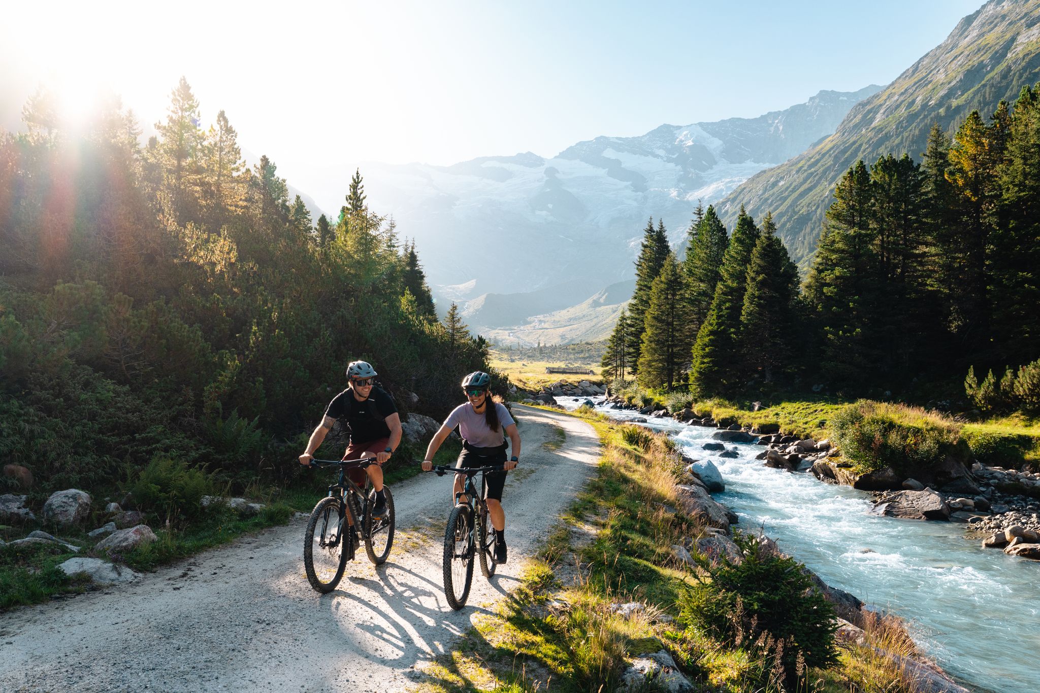
14 stages through the national park valleys – Hohe Tauern Bike Trail
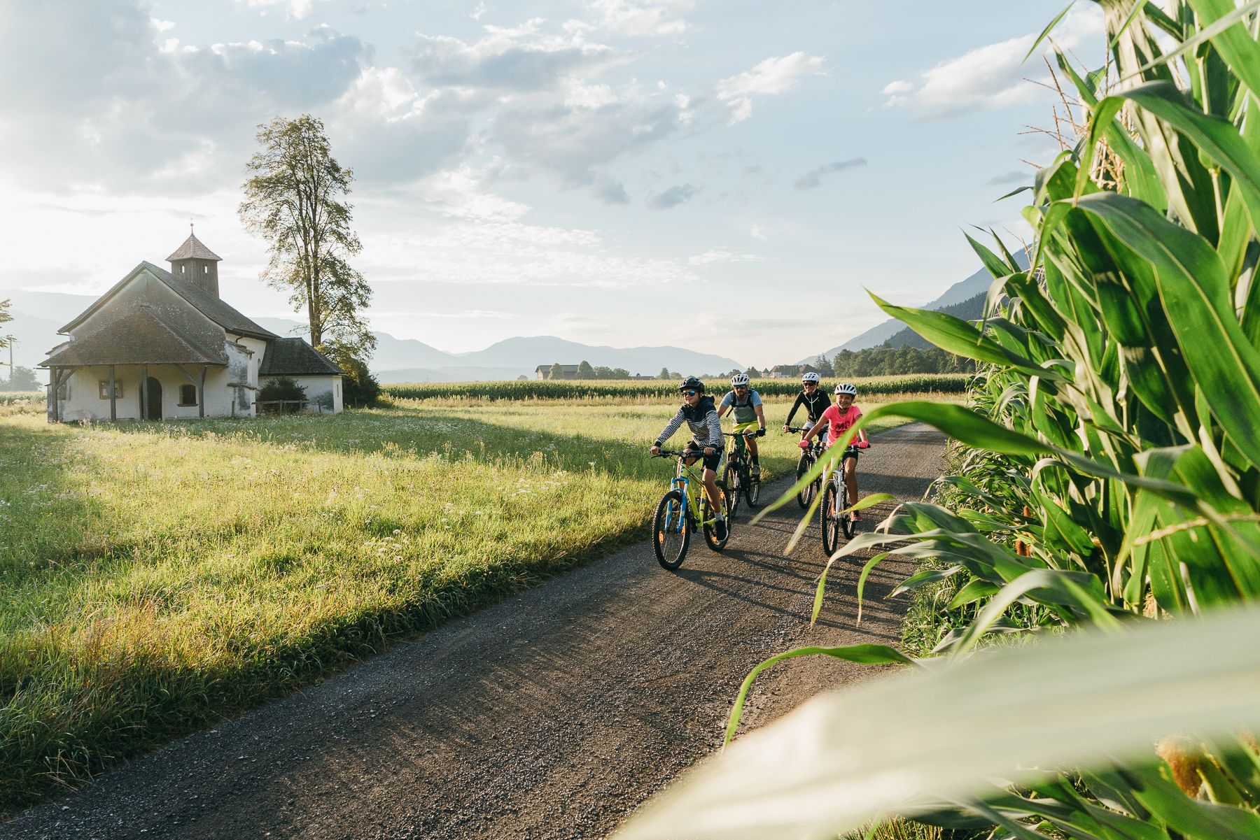
Pure enjoyment – over the Alps on the Alpe Adria cycle path
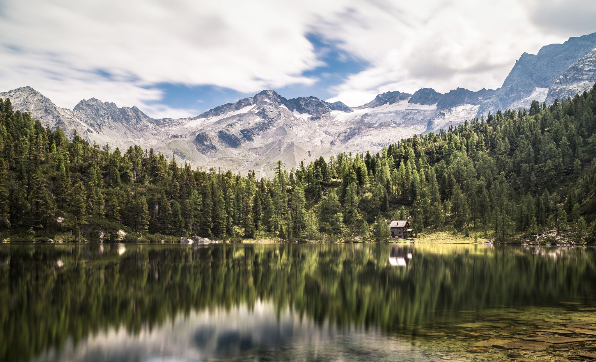
Summer trails in Gastein – four dreamy mountain lake Tours
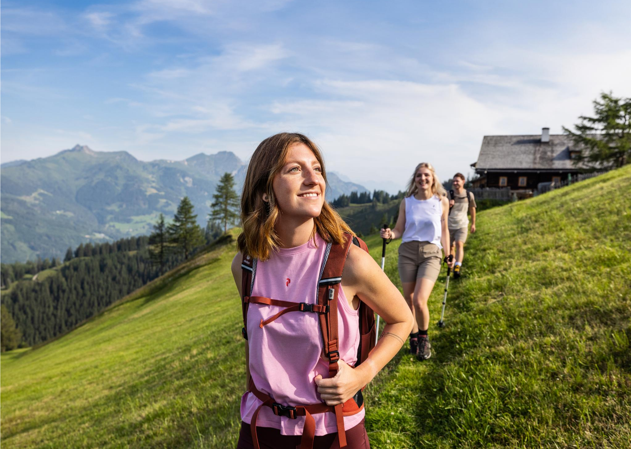
Salzburg’s most beautiful sides – 25 stages on the Salzburger Almenweg
Higher, faster, further – ambitious day hikes in the Gastein Valley
Other adventures around Bad Gastein


Tips from the Community

Truly a bridge construction worth seeing, with a span arch that creates excitement even when cycling over it.
0
0


The first 5.5 km from Bad Hofgastein Thermenzentrum go along the promenade on a nice and flat gravel path.
0
0

What a panorama and sense of accomplishment to have made it over the pass by bike.
1
0

Found by chance on Google Maps. This is a must-go. Starting at 5 p.m., there's a "show cooking" event over an open fire. The chef cooks everything on the fire pit. That alone is worth a stop. Plus, the delicious home-brewed beer, which you can buy in 2-liter siphons. A rustic atmosphere in this 500-year-old inn.
0
0

This is a place where your heart will melt. (When the weather's nice :-)) Vast landscapes, gentle but well-maintained bike paths, views of nature as far as the eye can see. What more could you want? It's best not to rush, but to enjoy.
0
0

Beautiful old building in Bad Hofgastein
0
0

beautiful surroundings good cycle paths
1
0
Frequently Asked Questions
What types of road cycling routes can I find in Bad Gastein?
Bad Gastein offers a diverse range of road cycling routes, from comfortable valley rides along the Gasteiner Ache river to demanding alpine ascents into the surrounding High Tauern Mountains. You'll find options suitable for various skill levels, including easy, moderate, and difficult trails.
Are there road cycling routes suitable for beginners or those seeking an easier ride?
Yes, Bad Gastein has routes ideal for beginners or those preferring a more relaxed pace. The Gastein Valley itself offers mostly paved paths, such as the Gastein Cycle Path, which links Dorfgastein, Bad Hofgastein, and Bad Gastein. While the final section into Bad Gastein has a noticeable climb, much of the valley path is comfortable.
Which routes offer scenic views or pass by notable landmarks?
Many routes provide spectacular views of the High Tauern Mountains. For a route that follows the river and offers consistent valley scenery, consider the Scenic Pathway in Salzburg – Gasteiner Ache Promenade loop from Bad Gastein. You can also experience the iconic Gastein Waterfall, which plunges through the center of town, or pass by historical sites like Klammstein Castle along the Gastein Cycle Path.
Are there any challenging road cycling routes for experienced riders?
Absolutely. For experienced road cyclists seeking a significant challenge, the Bad Gastein Waterfall – Grossglockner High Alpine Road loop from Bad Gastein is a legendary option. This route features extensive climbing and numerous hairpin bends, testing endurance with substantial elevation gain. Another demanding option is the Filzensattel Pass Summit – Filzensattel Pass loop from Bad Hofgastein, which includes over 1,000 meters of elevation gain.
What is the best time of year for road cycling in Bad Gastein?
The best time for road cycling in Bad Gastein is generally from late spring to early autumn. During these months, the weather is most favorable, and mountain passes are typically clear of snow, allowing access to the full range of routes, including high alpine roads.
Can I find circular road cycling routes in the area?
Yes, many routes in Bad Gastein are designed as loops. For example, the Gastein Cycle Path can be extended into a circular version of about 60 km. The Scenic Pathway in Salzburg – Brandstatt balancing reservoir loop from Tauernbahn is another popular circular route, offering scenic views over 50 km.
What do other road cyclists enjoy most about cycling in Bad Gastein?
The area is highly rated by the komoot community, with an average score of 4.7 stars from over 30 reviews. Cyclists often praise the diverse terrain, ranging from gentle valley paths to challenging mountain climbs, and the breathtaking views of the High Tauern Mountains and the Gastein Valley.
Are there any natural attractions to see along the road cycling routes?
Yes, the region is rich in natural beauty. You can cycle past the impressive Gastein Waterfall, which flows right through the town. Routes also offer views of the dramatic peaks of the High Tauern, and you might encounter features like the Gadaunerer Gorge or the serene Kötschach Valley, a natural gem within the Hohe Tauern National Park.
Are there bike rental services or e-bike options available in Bad Gastein?
Yes, Bad Gastein is well-equipped for cyclists. You can find bike rental services and e-bike charging stations throughout the region, making it easy to explore the routes even if you don't bring your own bike or prefer an electric assist for the climbs.
Are there places to stop for refreshments or food along the cycling paths?
The Gastein Valley offers numerous opportunities to stop and refuel. Along many routes, especially those connecting the towns, you'll find cozy cafés and restaurants where you can take a break and enjoy local cuisine or a refreshing drink.
What is the Alpe-Adria Cycle Path, and does it pass through Bad Gastein?
The Alpe-Adria Cycle Path is a long-distance route connecting Salzburg with the Italian Adriatic coast. It does pass directly through the Gastein Valley. The section leading into Bad Gastein along this path includes a steep climb, rewarding cyclists with spectacular views of the town and the Gastein Waterfall.
What is the Gastein Cycle Path like?
The Gastein Cycle Path is a key route in the valley, linking Dorfgastein, Bad Hofgastein, and Bad Gastein. It's mostly paved and suitable for all types of bicycles, covering approximately 30 km. While generally comfortable, the last 8 km into Bad Gastein involve a climb of about 200 meters to reach an altitude of 1,050 meters.
Most popular routes around Bad Gastein
Most popular attractions around Bad Gastein

Get inspired with the komoot mobile app


Explore more
Browse the best Road cycling routes in other regions.
