The best walks and hikes around Vachendorf
4.0
(33)
155
hikers
20
hikes
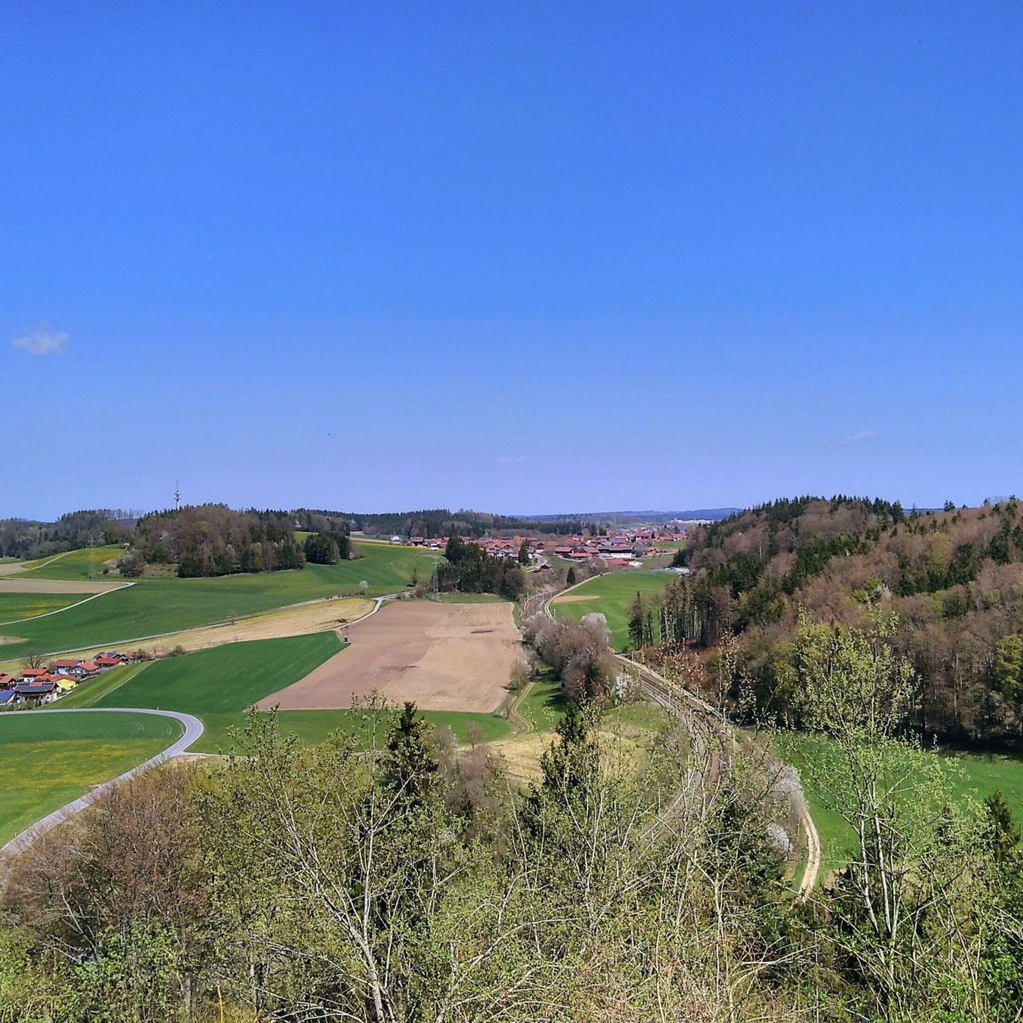
Hiking around Vachendorf offers access to a landscape characterized by views of the Alps and the Chiemgau Alps, alongside local features like Tüttensee Lake. The terrain includes gentle ascents and descents, with routes often circling natural landmarks. The region provides a mix of open views and paths near water bodies, suitable for various outdoor activities.
Best hiking trails around Vachendorf
- The most popular hiking route is View of the Alps – View of Hochfelln loop from Grabenstätt, a 7.4…
Last updated: June 29, 2026
4.6
(5)
32
hikers
11.9km
03:03
50m
50m
Moderate hike. Good fitness required. Easily-accessible paths. Suitable for all skill levels.
4.5
(12)
18
hikers
7.24km
01:59
110m
110m
Easy hike. Great for any fitness level. Easily-accessible paths. Suitable for all skill levels.

Sign up for free
4.0
(5)
20
hikers
8.45km
02:15
90m
90m
Moderate hike. Good fitness required. Easily-accessible paths. Suitable for all skill levels.
5.0
(2)
13
hikers
3.58km
00:59
60m
60m
Easy hike. Great for any fitness level. Easily-accessible paths. Suitable for all skill levels.
7
hikers
Easy hike. Great for any fitness level. Easily-accessible paths. Suitable for all skill levels.
Get access to more routes and recommendations from other explorers.
Sign up for free
Already have an account?
Our route recommendations are based on thousands of hikes, rides, and runs completed by other people on komoot.
Start today with a free account
Your next adventure awaits.
Login or Signup

Tips from the Community

It is a cozy cycle path in the Grabenstätter Moos and part of the Chiemsee cycle path.
0
0
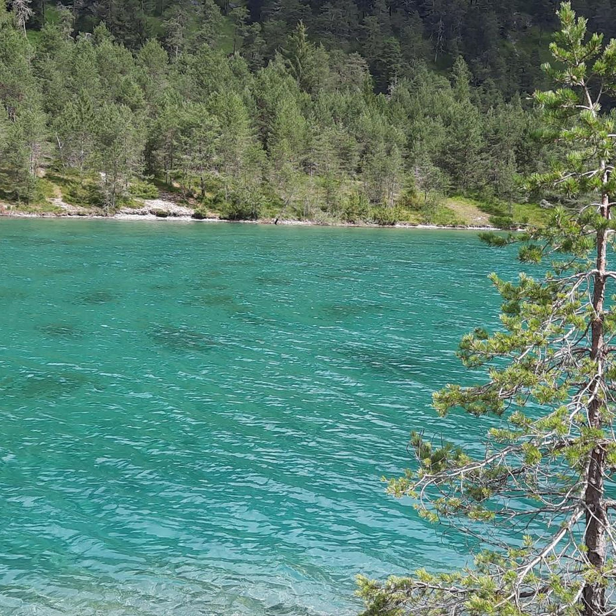
Here you have a good view of the Tüttensee
0
0
A section of the Chiemsee cycle path runs through the Grabenstättermoos here and offers a beautiful view of the Hochfelln and Hochgern.
1
0
The beaver does a great job here
0
0


All other paths had also been secured with fences beforehand; I wanted to go to the river! Nature conservation actually only starts further north!
0
0
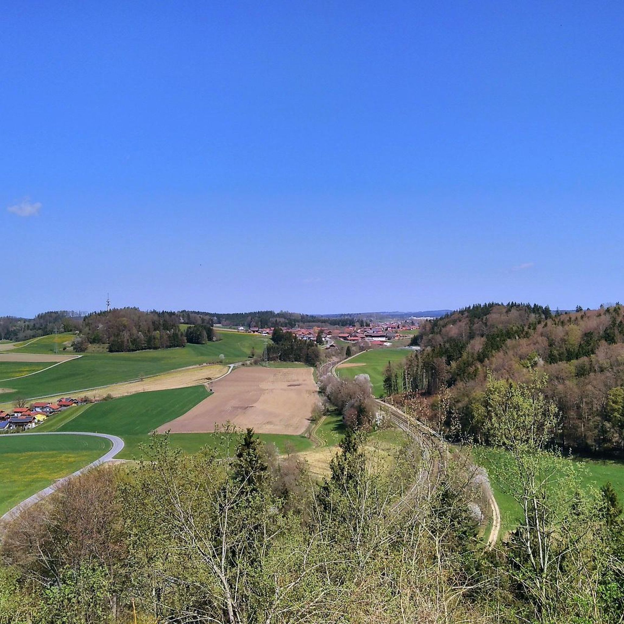
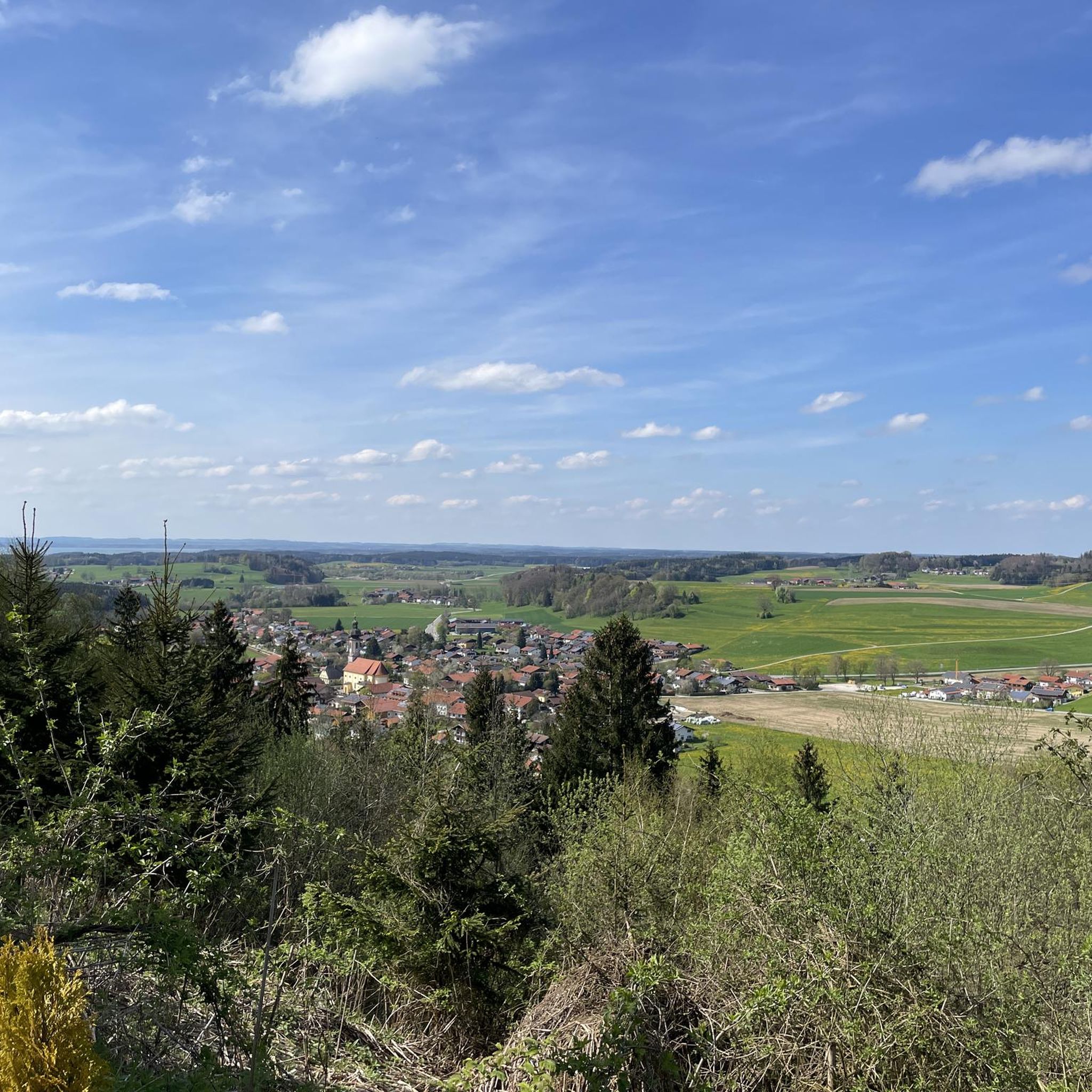
A beautiful rest area with a wonderful view of the mountains.
2
0
Frequently Asked Questions
How many hiking trails are available around Vachendorf?
There are over 20 hiking routes in the Vachendorf area, offering a variety of experiences. Most of these, 15 to be exact, are rated as easy, with 5 moderate options also available.
Are there easy hiking trails suitable for beginners or families in Vachendorf?
Yes, Vachendorf is well-suited for easy hikes. A great option for families or beginners is the View of the Chiemgau Alps – St. Ursula Chapel loop from Vachendorf, which is 3.1 miles (5.0 km) long and takes about 1 hour 21 minutes. Another easy choice is the View of the Chiemgau Alps loop from Vachendorf, a shorter 3.5 miles (3.5 km) route.
What are some circular hiking routes around Vachendorf?
Many trails around Vachendorf are circular. For a scenic loop, consider the View of the Alps – View of Hochfelln loop from Grabenstätt. If you prefer a lakeside walk, the Tüttensee Lake and Beaver Habitat – Lake Tüttensee loop from Grabenstätt is an excellent circular option.
Are dogs allowed on the hiking trails in Vachendorf?
Generally, dogs are welcome on hiking trails in the Vachendorf region. However, it's always advisable to keep them on a leash, especially near livestock, wildlife habitats, or in designated nature protection areas. Please also ensure you clean up after your dog.
What kind of viewpoints can I expect on hikes around Vachendorf?
Hikes in Vachendorf often feature expansive views of the Alps and the Chiemgau Alps. For specific scenic spots, you might encounter highlights like View of Kampenwand or the Lakeside path near Chieming, which offer picturesque vistas.
What is the best time of year to go hiking in Vachendorf?
The best time for hiking in Vachendorf is typically from spring through autumn (April to October). During these months, the weather is generally mild, and the trails are clear. Summer offers lush greenery, while autumn provides beautiful fall foliage. Winter hiking is possible, but some trails might be icy or snow-covered, requiring appropriate gear.
Are there any interesting natural attractions or landmarks to see while hiking in Vachendorf?
Yes, the Vachendorf area is rich in natural beauty and interesting landmarks. You can explore the serene Bathhouse at Lake Chiemsee or discover unique geological formations like Engelstein. The region also features several grottoes, such as the Marian Grotto and Forest Chapel.
What should I wear for hiking in Vachendorf?
For hiking in Vachendorf, layered clothing is recommended, as weather conditions can change. Sturdy, comfortable hiking shoes are essential, especially for routes with varied terrain. Depending on the season, bring rain gear, sun protection, and sufficient water. For winter hikes, warm, waterproof clothing and appropriate footwear are crucial.
Are there any challenging hikes in Vachendorf?
While Vachendorf primarily offers easy to moderate trails, the region's character includes gentle ascents and descents. There are no trails rated as difficult directly within the Vachendorf guide, but the longer moderate routes, such as the View of the Alps – View of Hochfelln loop from Grabenstätt, can provide a good workout due to their length.
What do other hikers enjoy most about hiking in Vachendorf?
The hiking trails around Vachendorf are highly rated by the komoot community, with an average score of 4.0 stars from over 30 reviews. Hikers often praise the expansive views of the Alps, the peaceful lakeside paths around Tüttensee, and the varied terrain that makes for enjoyable walks.
Are there options for hiking near water bodies in Vachendorf?
Yes, the Vachendorf area features beautiful routes near water. The Tüttensee Lake and Beaver Habitat – Lake Tüttensee loop from Grabenstätt is a popular choice that circles Tüttensee Lake, offering pleasant views and opportunities to observe local wildlife.
Most popular routes around Vachendorf
Most popular attractions around Vachendorf

Get inspired with the komoot mobile app


Explore more
Browse the best Hikes in other regions.
