The best road cycling routes around Sint-Gillis-Waas
4.7
(39)
1,023
riders
93
rides
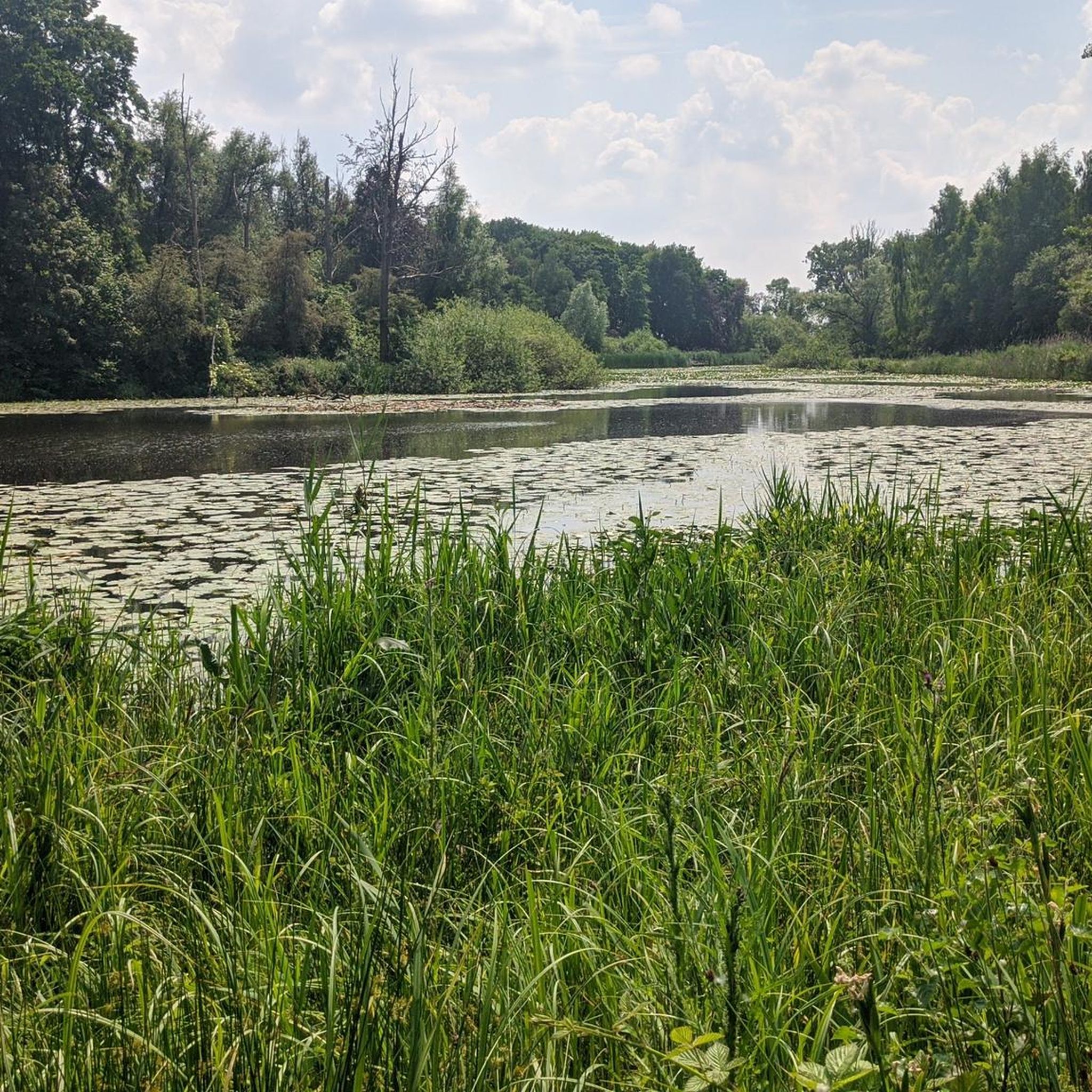
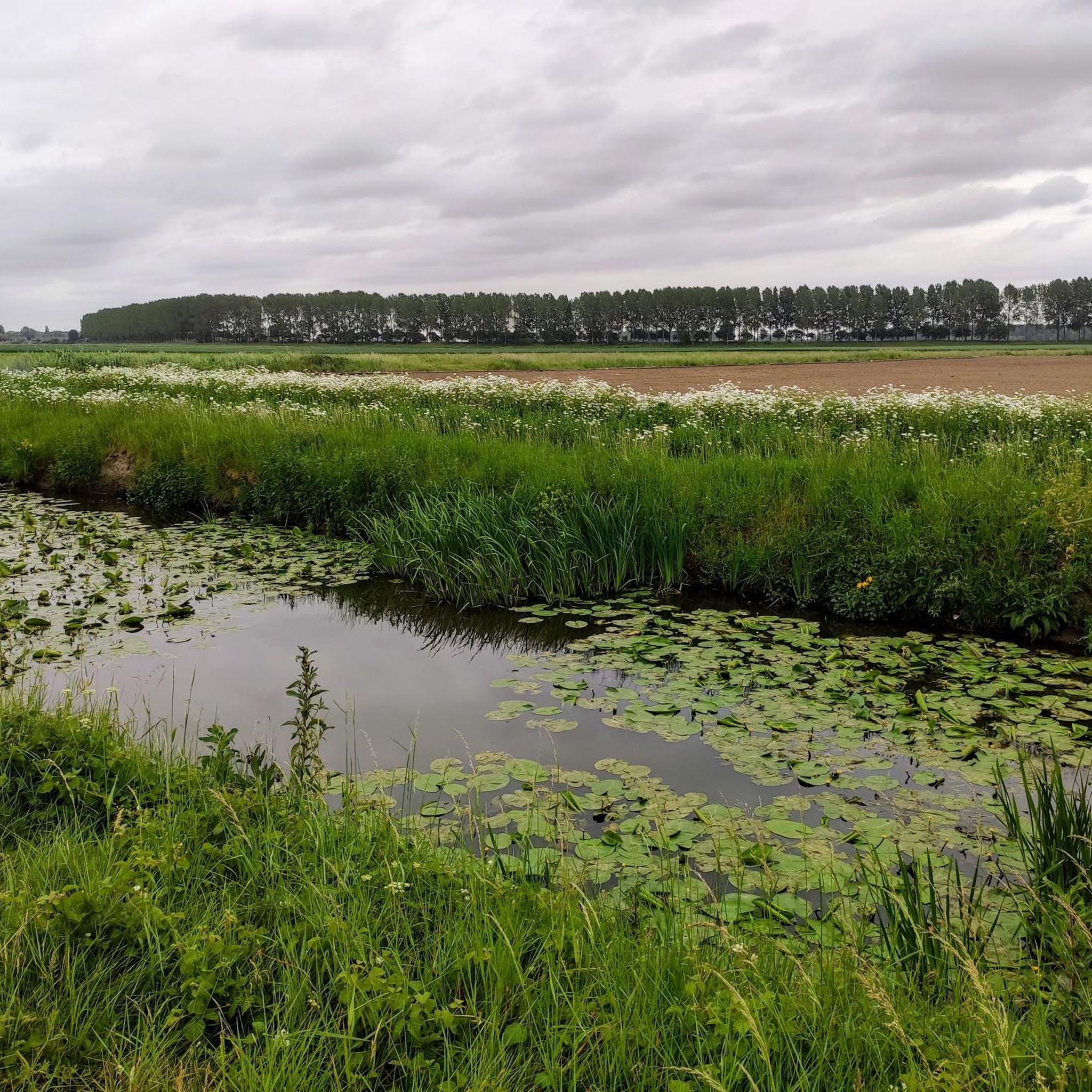
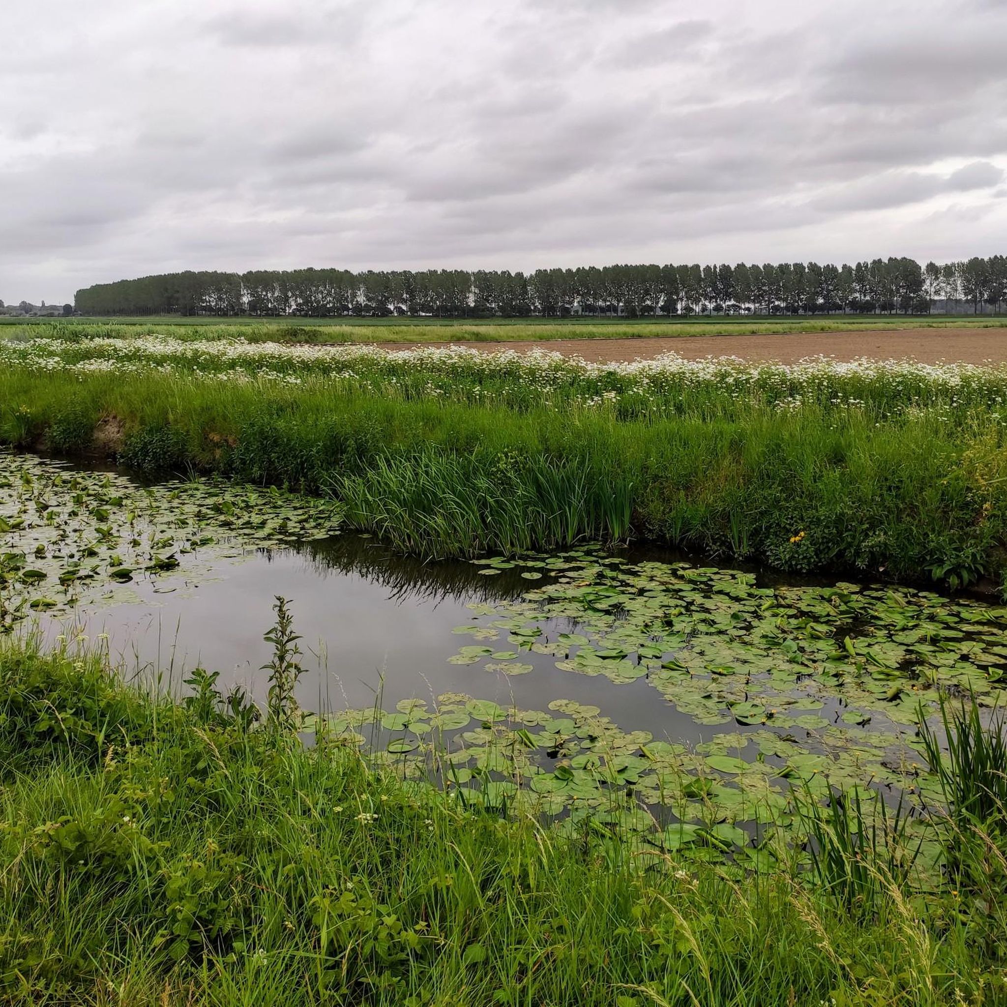
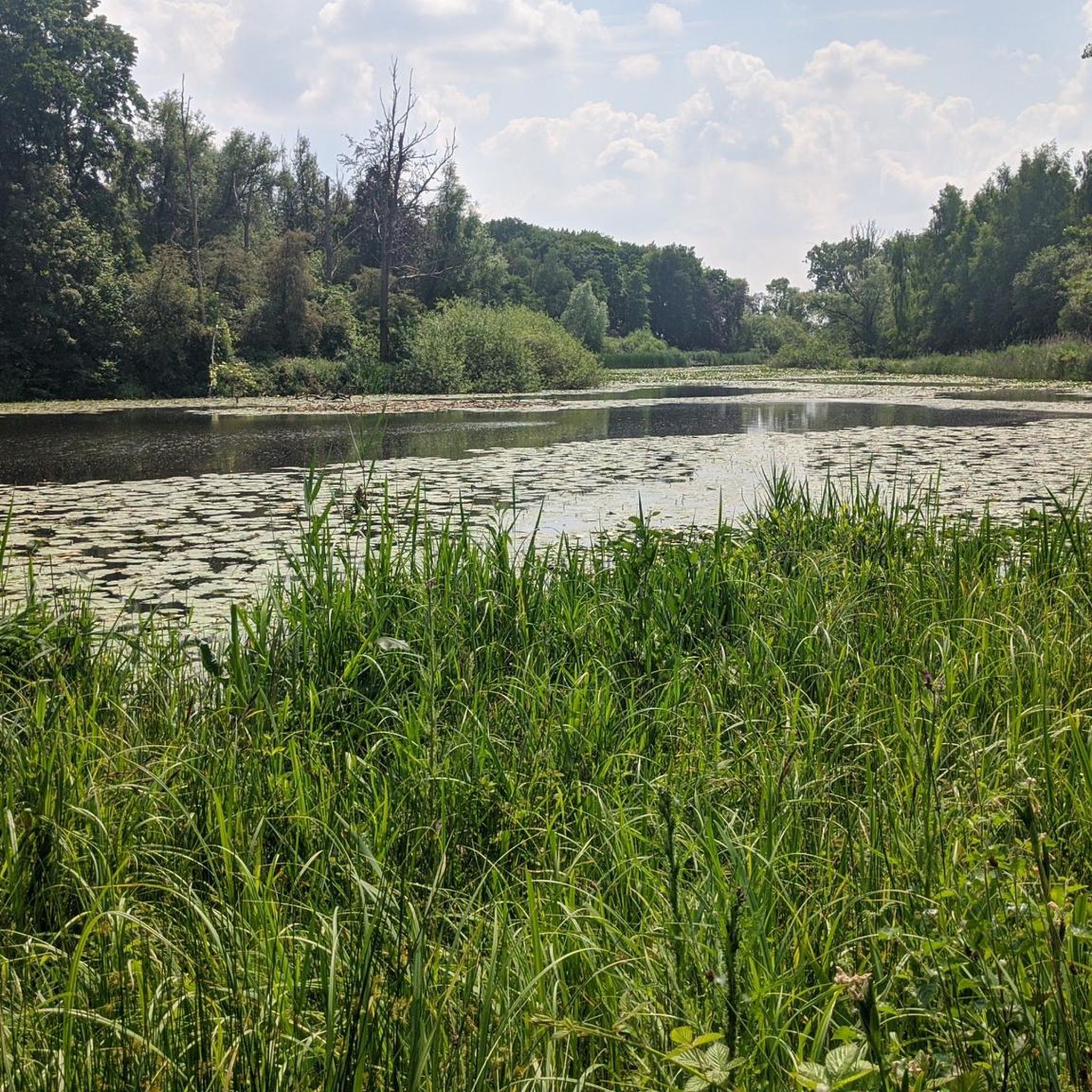
Road cycling around Sint-Gillis-Waas offers routes through the flat, green agrarian landscape of the Waasland region in Belgium. The area features expansive fields, polder landscapes, and a network of creeks and waterways. Cyclists can expect varied terrain with gentle slopes and minimal elevation changes, making it suitable for various skill levels. The region is characterized by a mix of forests, fruit orchards, and historical dikes, providing scenic road cycling routes.
Best road cycling routes around Sint-Gillis-Waas
- The most popular road…
Last updated: July 11, 2026
4.8
(4)
136
riders
Moderate road ride. Good fitness required. Mostly well-paved surfaces and easy to ride.
5.0
(5)
63
riders
47.0km
02:11
40m
40m
Moderate road ride. Good fitness required. Mostly well-paved surfaces and easy to ride.

Sign up for free
5.0
(1)
91
riders
70.9km
03:13
80m
80m
Moderate road ride. Good fitness required. Mostly well-paved surfaces and easy to ride.
49
riders
86.4km
03:50
90m
90m
Moderate road ride. Good fitness required. Mostly well-paved surfaces and easy to ride.
5.0
(2)
45
riders
54.4km
02:40
70m
70m
Moderate road ride. Good fitness required. Some segments of this route may be unpaved and difficult to ride.
Get access to more routes and recommendations from other explorers.
Sign up for free
Already have an account?
Our route recommendations are based on thousands of hikes, rides, and runs completed by other people on komoot.
Start today with a free account
Your next adventure awaits.
Login or Signup

Tips from the Community

Under the Scheldt to the city...
1
0

During the Second World War, all bridges in Stekene were blown up by the Germans. In 1945, all five were restored. Seven years later, the Stekense Vaart was declared unnavigable. At Aan de Brugstraat, everything was dammed to guarantee pure drinking water for Zeeuws-Vlaanderen. As a result, the canal between Kaaistraat and Tragelstraat, and thus also here at the bridge near Park Zomerhuis, became an open sewer. The canal problem lasted for years, with complaints and symptoms of illness among the local residents. The commissioning of the water treatment plant in Sint-Niklaas, in 1964, finally solved the problem fundamentally. bron: stekene.be
2
0

Name is wrong. This is the bridge of Sas van Gent.
0
0

Beautiful view over the Western Scheldt and near restaurant Beet at the harbor of the Griette
0
0


good road for cycling
1
0

Spacious shop with a south-facing terrace. Sells various types of bicycles and cycling accessories. They also have a cycling café at the front of the shop, where they show cycling on TV, coffee, soft drinks, beer, lunch, and much more. You can find more about this cycling café at www.wielercafes.nl/bike-project.
3
0
Frequently Asked Questions
What kind of terrain can I expect when road cycling in Sint-Gillis-Waas?
Sint-Gillis-Waas is characterized by a flat, green agrarian landscape within the Waasland region. You'll find expansive fields, polder areas, and a network of wide creeks and waterways. While generally flat, there are gentle slopes, particularly in areas like the Waasland Cuesta, offering varied but manageable terrain for road cyclists.
How many road cycling routes are available around Sint-Gillis-Waas?
There are over 80 road cycling routes available around Sint-Gillis-Waas, catering to various skill levels. This includes 45 easy routes, 37 moderate routes, and 1 difficult route, ensuring options for everyone from beginners to experienced cyclists.
Are there any easy road cycling routes suitable for beginners in Sint-Gillis-Waas?
Yes, Sint-Gillis-Waas offers numerous easy road cycling routes perfect for beginners. For example, the Stekense Vaart Bridge – Path Along the Molenbeek loop from Clinge is an easy 45.6 km route that takes about 2 hours to complete, providing a pleasant introduction to the region's scenery.
What are some notable landmarks or attractions I can see while cycling in Sint-Gillis-Waas?
While cycling, you can encounter several interesting sights. The region features historical dikes like Koningsdijk and the Dodendraad. You might also spot the Roomanmolen, the tallest stone windmill in Flanders, located in Sint-Pauwels. Natural highlights include the extensive Stropersbos forest and the enchanting Heather Stropersbos. The area is also known for its fruit orchards, which are particularly beautiful during blossom season.
What do other road cyclists enjoy most about cycling in Sint-Gillis-Waas?
The road cycling routes in Sint-Gillis-Waas are highly rated by the komoot community, with an average score of 4.7 stars from nearly 30 reviews. Cyclists often praise the serene polder landscapes, the extensive network of paths, and the blend of natural beauty with cultural heritage, making for rewarding rides.
Are there any longer or more challenging routes for experienced road cyclists?
Yes, for experienced road cyclists seeking a longer challenge, the Netekanaal Cycle Path – Netekanaal Cycling Path loop from De Klinge is a difficult 123.7 km trail that typically takes over 5 hours to complete. This route leads through extensive canal-side paths, offering a significant distance challenge.
What is the best time of year to go road cycling in Sint-Gillis-Waas?
The flat terrain of Sint-Gillis-Waas makes it suitable for road cycling for much of the year. Spring is particularly beautiful when the fruit orchards are in blossom, offering a vibrant and fragrant experience. Summer provides warm weather for longer rides, while autumn brings pleasant temperatures and changing foliage. Even in winter, the generally flat paths can be accessible, though conditions may vary.
Are there any circular road cycling routes in the area?
Many of the routes in Sint-Gillis-Waas are designed as loops, allowing you to start and end at the same point. For instance, the popular Path Along the Waterway – Scenic Winding Path loop from Meerdonk is a 50.9 km circular route that follows scenic winding paths alongside waterways.
Can I find places to eat or drink along the cycling routes in Sint-Gillis-Waas?
While specific cafes or pubs along every route are not detailed, the region's towns and villages, including Sint-Gillis-Waas itself, offer various amenities. You might find places like Koolputten, which is listed as a restaurant, providing opportunities for refreshments during your ride.
Are there any road cycling routes that pass by significant waterways or polder landscapes?
Absolutely. The region is defined by its polder landscapes and wide creeks. The Path Along the Waterway – Scenic Winding Path loop from Meerdonk is an excellent example, following waterways. The Natuurgebied Panneweel, with its idyllic pools and vast grasslands, is another area where you can experience the unique 'wickerwork of water and meadow' while cycling.
What is the average elevation gain on road cycling routes in Sint-Gillis-Waas?
Given the flat agrarian landscape, road cycling routes in Sint-Gillis-Waas generally feature minimal elevation gain. Most routes have gentle slopes, with even longer routes like the 86.5 km Terneuzen Cannon – Gent-Terneuzen Canal loop from Clinge having less than 100 meters of elevation gain, making for relatively flat rides.
Are there any routes that explore historical areas or unique geological features?
Yes, the region's history and geology are part of its charm. The Doel Ghost Town – Koningsdijk loop from Clinge explores historical dikes and the unique landscape around Doel. Additionally, the Waasland polders themselves hold significant geological and archaeological value, with unique 'convex fields' from the Middle Ages still visible.
Most popular routes around Sint-Gillis-Waas
Most popular attractions around Sint-Gillis-Waas

Get inspired with the komoot mobile app


Explore more
Browse the best Road cycling routes in other regions.
