The best running trails around Vresse-Sur-Semois
4.4
(99)
4,928
runners
137
runs
Jogging around Vresse-Sur-Semois offers diverse terrain within the Belgian Ardennes, characterized by the meandering Semois River and its deeply incised valleys. The region features expansive forests and rolling hills, providing varied paths from gentle slopes to more strenuous climbs. Numerous panoramic viewpoints are integrated into the trail network, offering elevated perspectives of the landscape.
Best jogging routes around Vresse-Sur-Semois
- The most popular jogging route is Trail du Jambon, an 18.9 miles (30.4 km) difficult trail that takes 4 hours…
Last updated: October 10, 2026
277
runners
44.9km
05:59
1,620m
1,620m
Hard run. Very good fitness required. Sure-footedness, sturdy shoes and alpine experience required.
5.0
(1)
258
runners
30.4km
04:14
1,130m
1,130m
Hard run. Very good fitness required. Sure-footedness, sturdy shoes and alpine experience required.

5.0
(2)
20
runners
Moderate run. Good fitness required. Mostly paved surfaces. Suitable for all skill levels.
4.4
(8)
727
runners
42.0km
05:05
1,040m
1,040m
Hard run. Very good fitness required. Mostly paved surfaces. Suitable for all skill levels.
305
runners
32.9km
04:27
1,260m
1,260m
Hard run. Very good fitness required. Mostly paved surfaces. Suitable for all skill levels.
Get access to more routes and recommendations from other explorers.
Already have an account?
Our route recommendations are based on thousands of hikes, rides, and runs completed by other people on komoot.
Start today with a free account
Your next adventure awaits.
Popular around Vresse-Sur-Semois
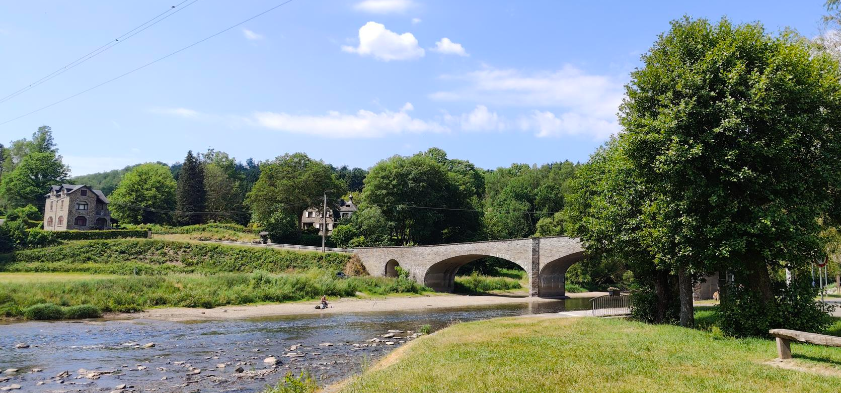
Memory and cycling remembrance duty - La Route du Maquis
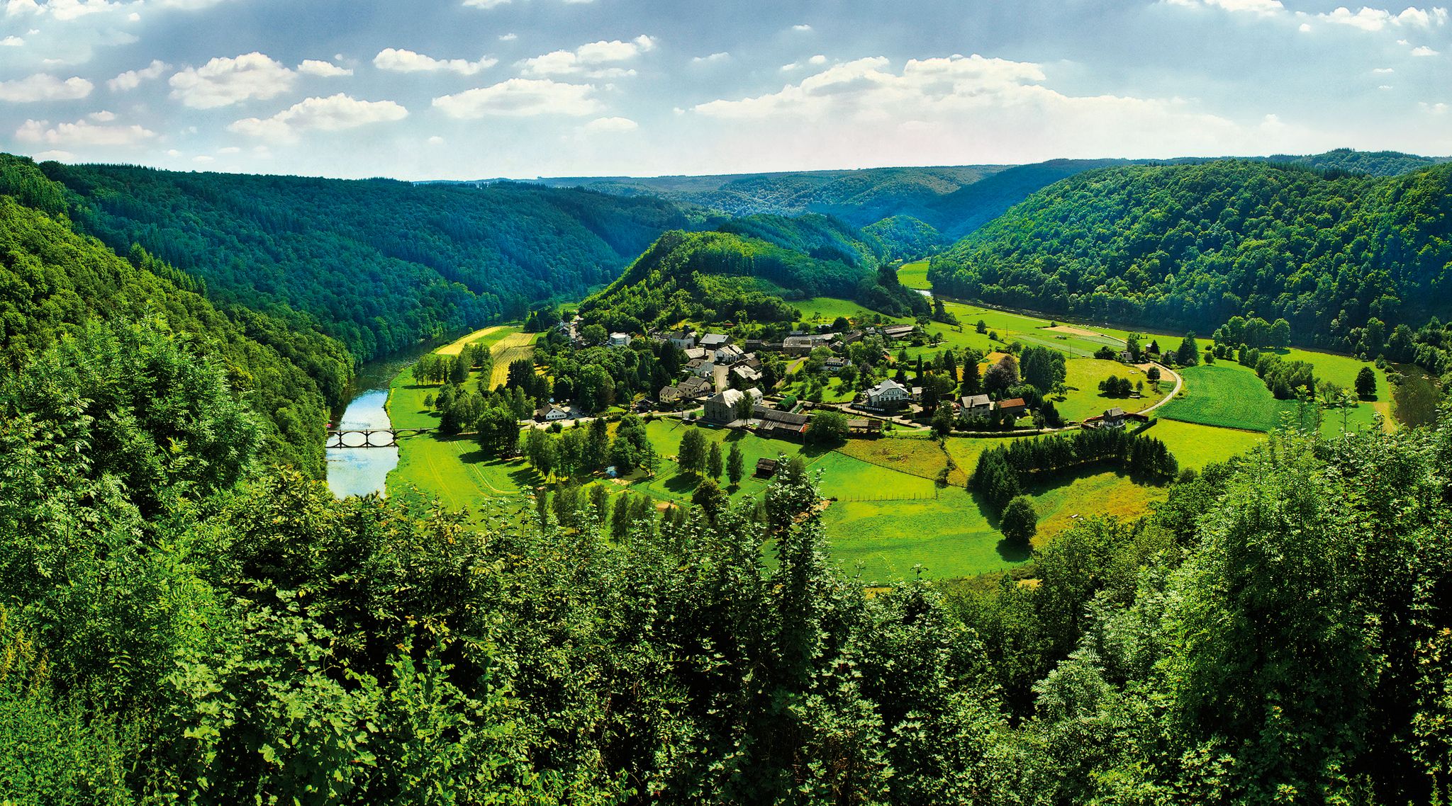
Vallée de la Semois National Park – long-distance hiking on Belgium’s GR16
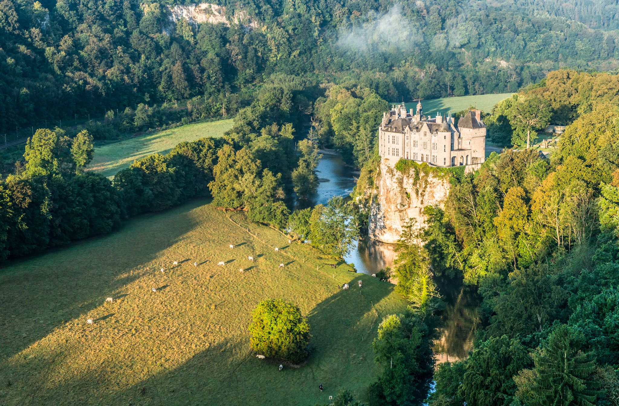
Pure nature on the hiking trails in the Belgian Ardennes
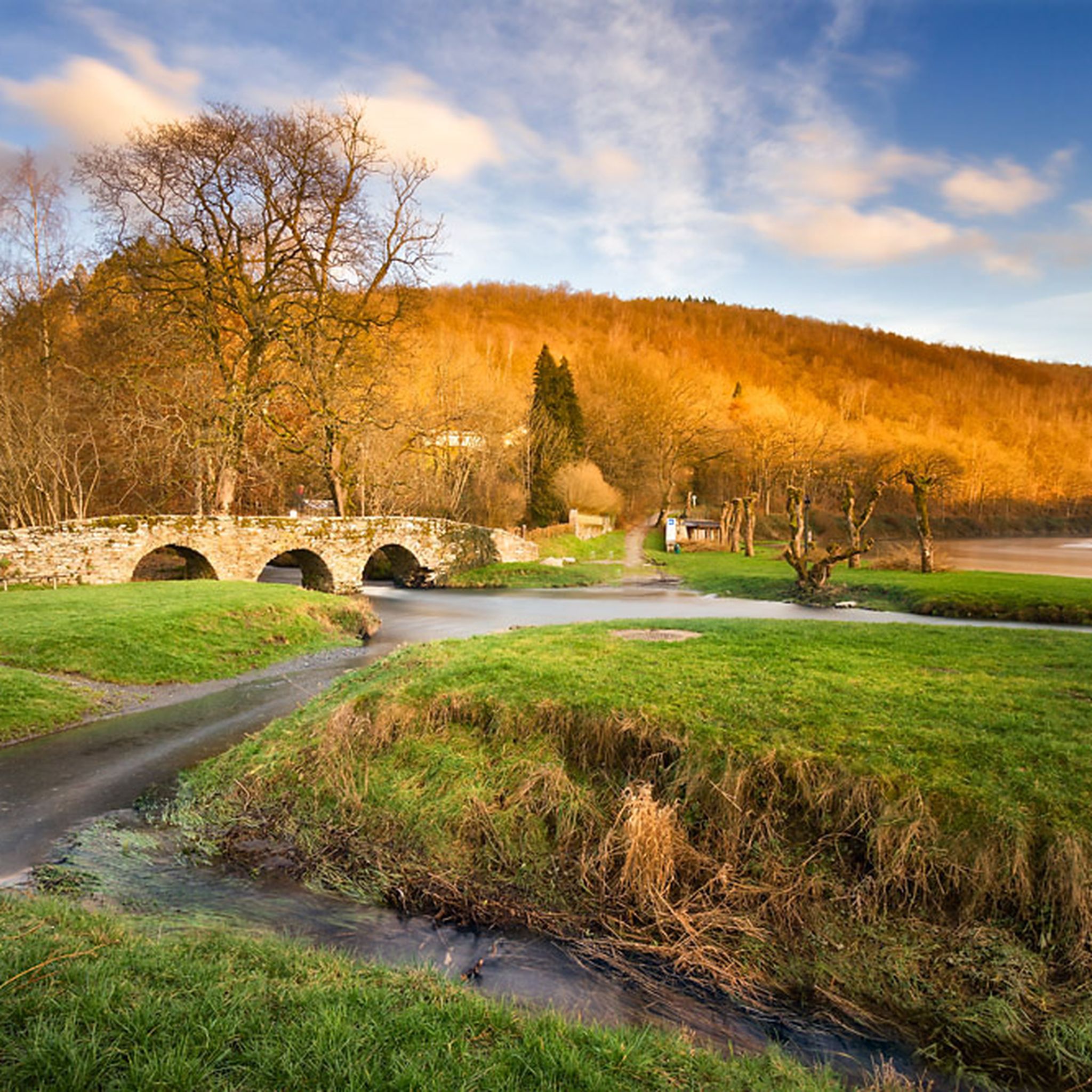
Hiking around Vresse-Sur-Semois
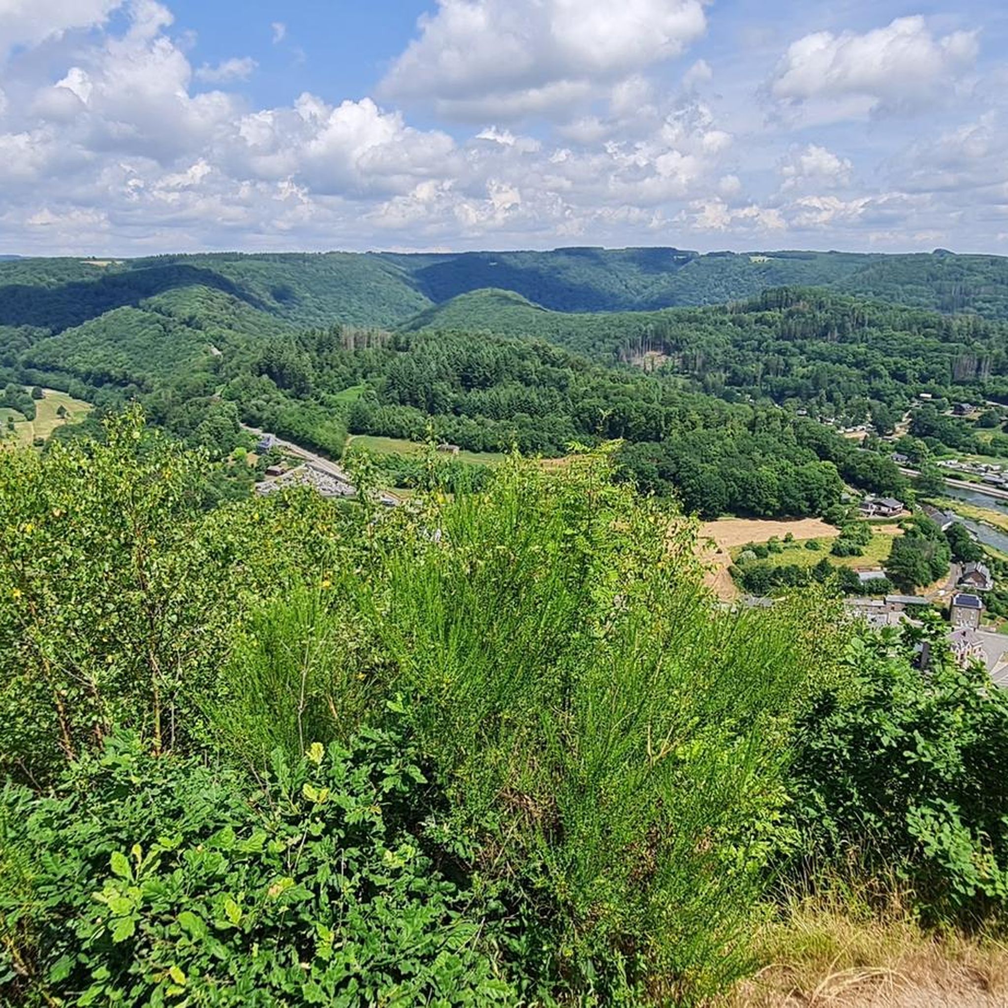
Cycling around Vresse-Sur-Semois
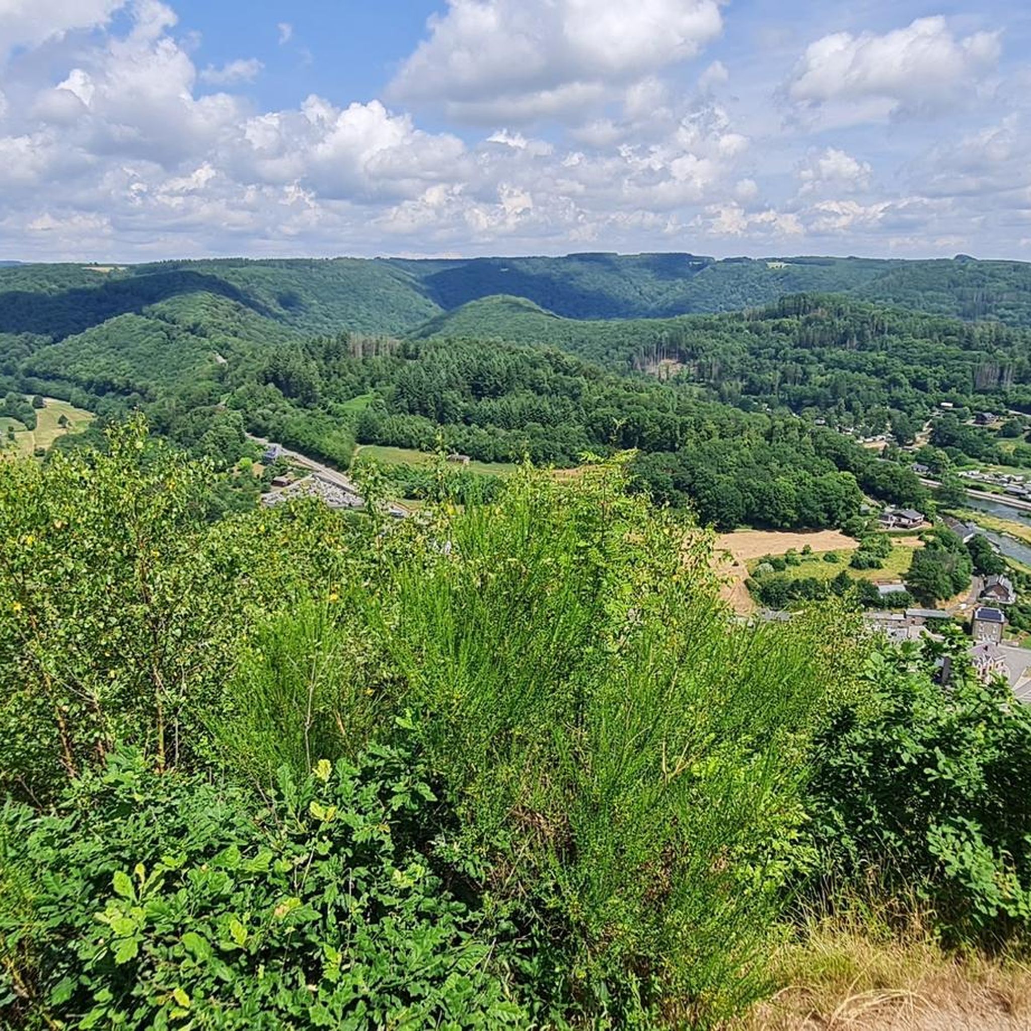
Road Cycling Routes around Vresse-Sur-Semois
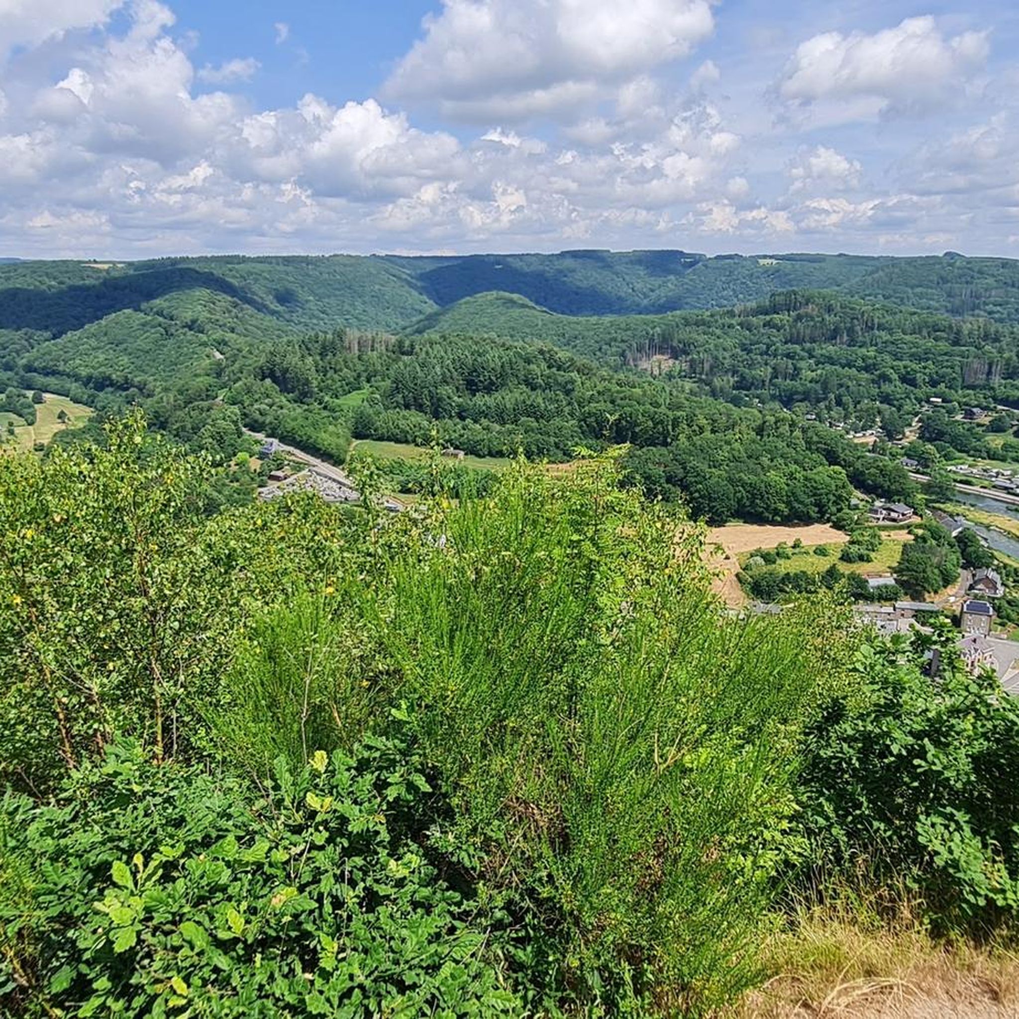
MTB Trails around Vresse-Sur-Semois
Gravel biking around Vresse-Sur-Semois
Other adventures around Vresse-Sur-Semois


Tips from the Community

For people with little hiking experience, this is a difficult hike.
1
0

A short, steep descent. Difficult in wet weather.
1
0

A very interesting bridge 😃
1
0

This beautiful suspension bridge is 55 meters long and is located at the intersection of several hiking trails. The Moulin de l’Épine footbridge was built to connect hikes from Botassart and Corbion. The bridge only opened in 2020 after years of legal wrangling. A wooden watchtower stands on both banks of the Semois River. The Moulin de l’Épine footbridge consists of 22 galvanized steel elements with wooden planks held up by two strong cables. The bridge wobbles and sways quite a bit when hikers walk across it, but is otherwise as safe as can be. (TravelValley)
11
0
Bouillon seen from above.
10
0
The first observation tower on the Côte d’Auclin dates back to 1923. A new structure was inaugurated in 2001. The tower stands on a 150m³ concrete base. It has eight floors supported by four wooden pillars surrounded by iron, with a total height of 31.60 m (385 m altitude, or 180 m above the Semois). (InspiRoute)
10
0
The fortified castle of Bouillon is situated on three rocky ridges and offers stunning views of the city. During your visit, you can also take in a falconry performance. Falconry was a true art form during the Middle Ages. You can conclude your visit with the Scriptura Museum, which chronicles the history of education, and the exhibition of the fresco "The Armed Pilgrimage of Godfrey of Bouillon." The castle is open daily.
11
0

ecologically degradable bridge 🤠
1
0
Frequently Asked Questions
How many running trails are available in Vresse-sur-Semois?
Vresse-sur-Semois offers an extensive network of over 130 running routes. These include 8 easy trails, 60 moderate paths, and 65 challenging routes, catering to a wide range of fitness levels and preferences.
Are there any easy or beginner-friendly jogging routes in the area?
Yes, Vresse-sur-Semois has 8 easy jogging routes, perfect for beginners or those looking for a relaxed run. These trails often follow the gentler sections along the Semois River or through less hilly forest paths, providing a pleasant introduction to the region's natural beauty.
What kind of scenery can I expect on the running trails around Vresse-sur-Semois?
The running trails in Vresse-sur-Semois are incredibly scenic, characterized by the meandering Semois River and its deeply incised valleys, dense forests, and rolling Ardennes hills. You'll encounter breathtaking panoramic viewpoints like the "Le Jambon de la Semois" and the "Tombeau du Géant", as well as tranquil nature reserves. Many routes offer stunning riverside views and shaded forest paths.
Are there any long-distance running options for experienced runners?
Absolutely. For experienced runners seeking a challenge, Vresse-sur-Semois offers several long-distance routes. The Tour of the Semois Valley is a difficult 27.9-mile (44.9 km) path that follows the river's extensive course, providing a significant endurance test. Another demanding option is the Épine Viewpoint – Bouillon Castle loop from Alle, which covers over 41 km with considerable elevation gain.
Can I find circular running routes in Vresse-sur-Semois?
Yes, many of the running routes in Vresse-sur-Semois are circular, allowing you to start and finish at the same point. A great example is the Table des Fées — loop — running from Bohan in the Semois Valley National Park, a 3.5-mile (5.6 km) trail that takes you through forest slopes and the Basse Semois nature reserve.
Are there any running routes that pass by historical sites or cultural points of interest?
While primarily focused on natural beauty, some routes in Vresse-sur-Semois can incorporate cultural elements. The region features charming villages like Laforêt, recognized as one of the "Most Beautiful Villages of Wallonia." You might also find trails near historical sites such as the Romanesque church of Saint-Martin or bridges like the Pont Saint-Lambert. The "Promenade des Légendes" in Laforêt offers an interpretative trail with panels detailing local heritage and folklore.
What do other runners say about the trails in Vresse-sur-Semois?
The running routes in Vresse-sur-Semois are highly regarded by the komoot community, boasting an average rating of 4.6 stars from over 60 reviews. More than 4,000 runners have used komoot to explore the varied terrain, often praising the diverse landscapes, well-maintained paths, and the stunning views of the Semois Valley.
Are there any specific viewpoints or natural landmarks I should look out for while running?
Absolutely! The region is dotted with spectacular viewpoints. Don't miss the "Le Jambon de la Semois" between Membre and Bohan, the Sacré-Cœur at Alle, or the viewpoint of Naglémont (Chairière). The Viewpoint over Frahan and the Belvédère d'Auclin are also highly recommended for their expansive vistas over the Semois River and surrounding landscapes.
What is the best time of year to go jogging in Vresse-sur-Semois?
Spring and autumn are generally ideal for jogging in Vresse-sur-Semois, offering pleasant temperatures and beautiful scenery with blooming flora or vibrant fall foliage. Summer provides shaded forest paths, which are great for warmer days, and you might even encounter unique floating bridges across the Semois. Winter running is possible, but conditions can vary, so checking local weather and trail reports is advisable.
Are there any running routes suitable for families with children?
For families, the easier and shorter routes are most suitable. Look for trails with minimal elevation gain, often found along the riverbanks or through the flatter sections of the forests. The "Sentier des Nutons" is a circular trail winding through forests and caves, associated with local folklore about mischievous dwarves, which can add an element of intrigue for children.
Are dogs allowed on the jogging trails in Vresse-sur-Semois?
Most outdoor trails in the Vresse-sur-Semois region are dog-friendly, making it a great place to run with your canine companion. However, it's always best to keep your dog on a leash, especially in nature reserves or areas with livestock, and to respect local regulations regarding pets. Ensure you carry water for both yourself and your dog.
What are the typical durations for running routes in Vresse-sur-Semois?
Running route durations vary significantly. You can find shorter runs, like the Table des Fées loop, which takes about 39 minutes. Longer, more challenging trails, such as the Trail du Jambon, can take over 4 hours, while the Tour of the Semois Valley can extend to over 6 hours for a complete run.
Most popular routes around Vresse-Sur-Semois
Most popular attractions around Vresse-Sur-Semois

Get inspired with the komoot mobile app


Explore more
Browse the best Running Trails & Routes in other regions.
