The best walks and hikes around Unterwart
4.4
(814)
4,733
hikers
314
hikes
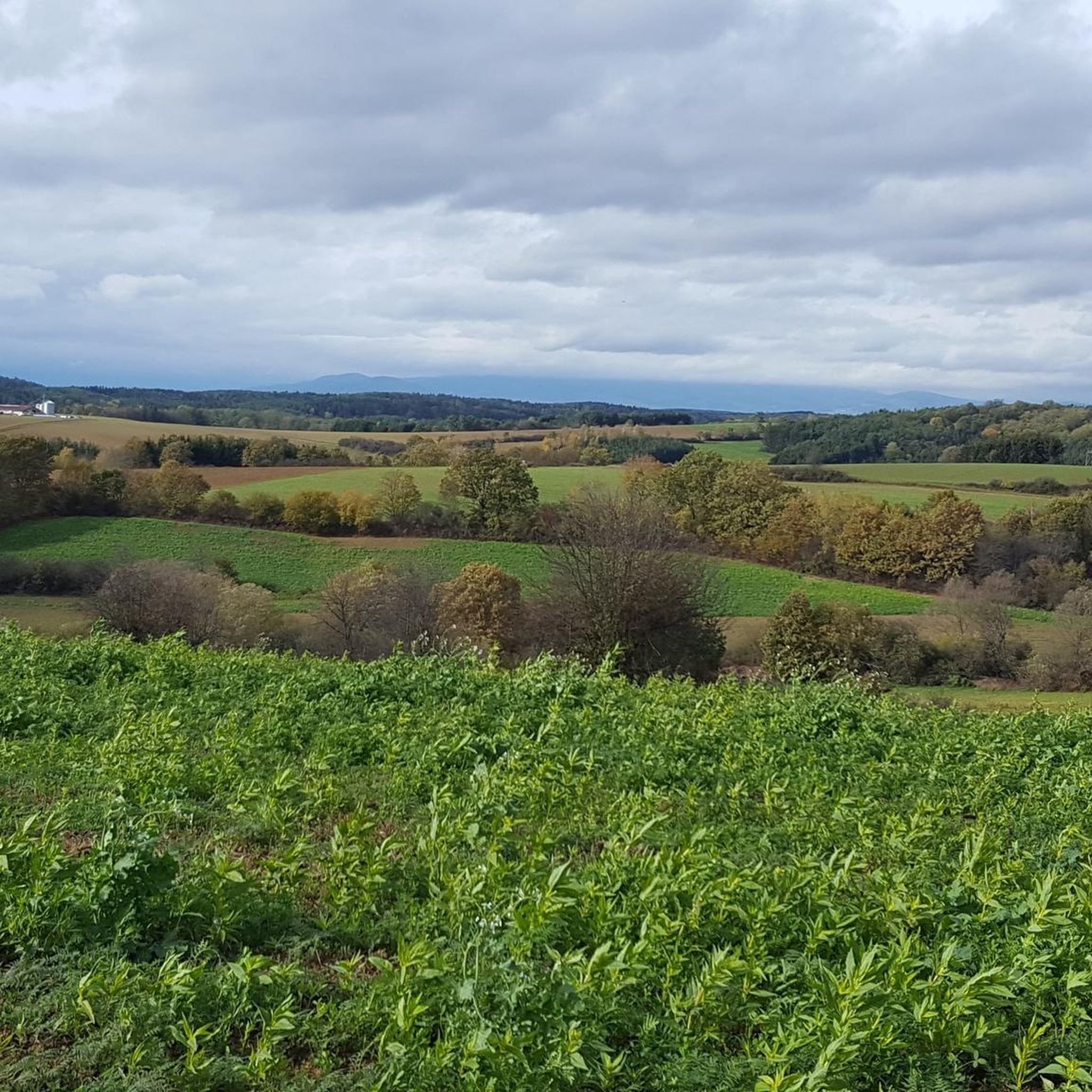
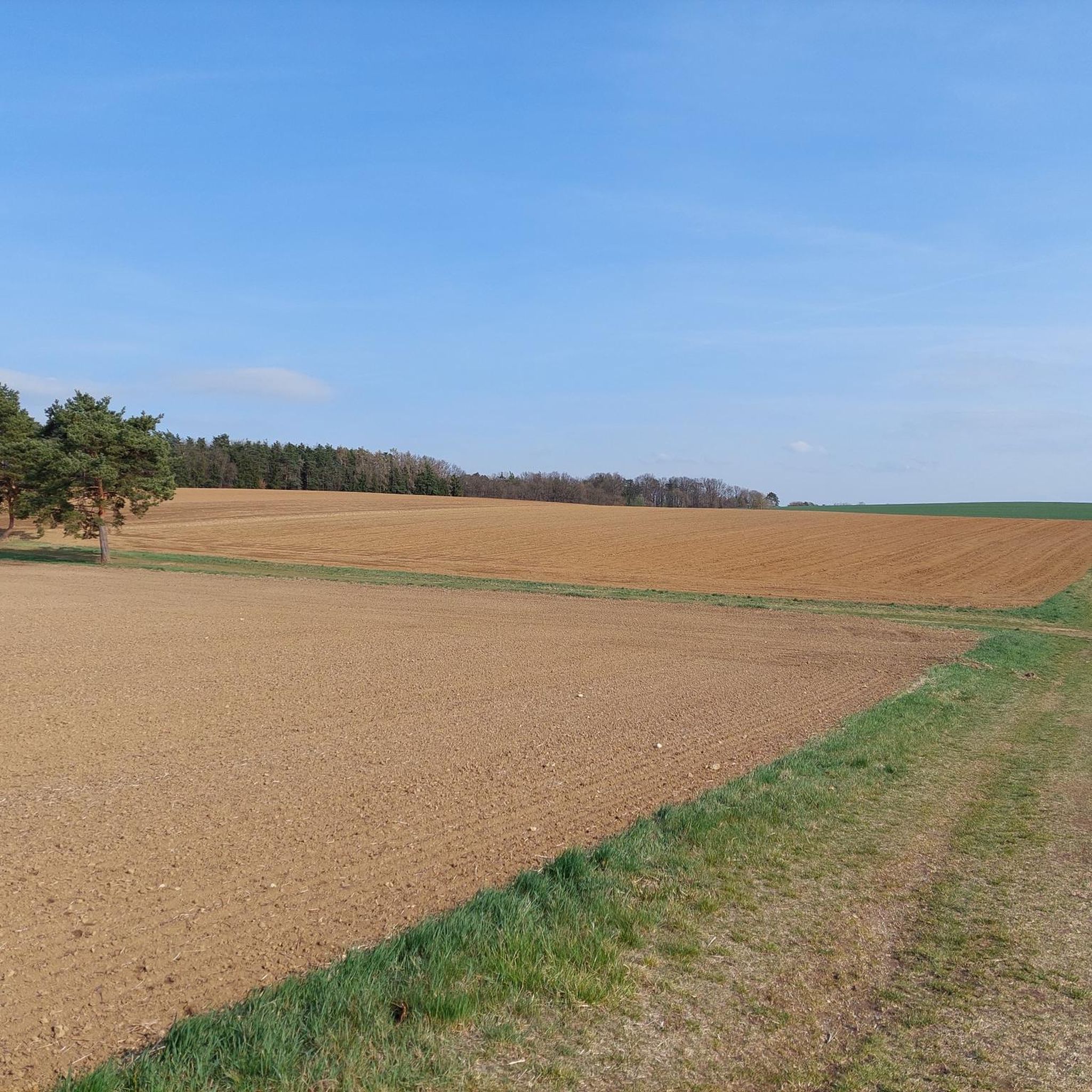
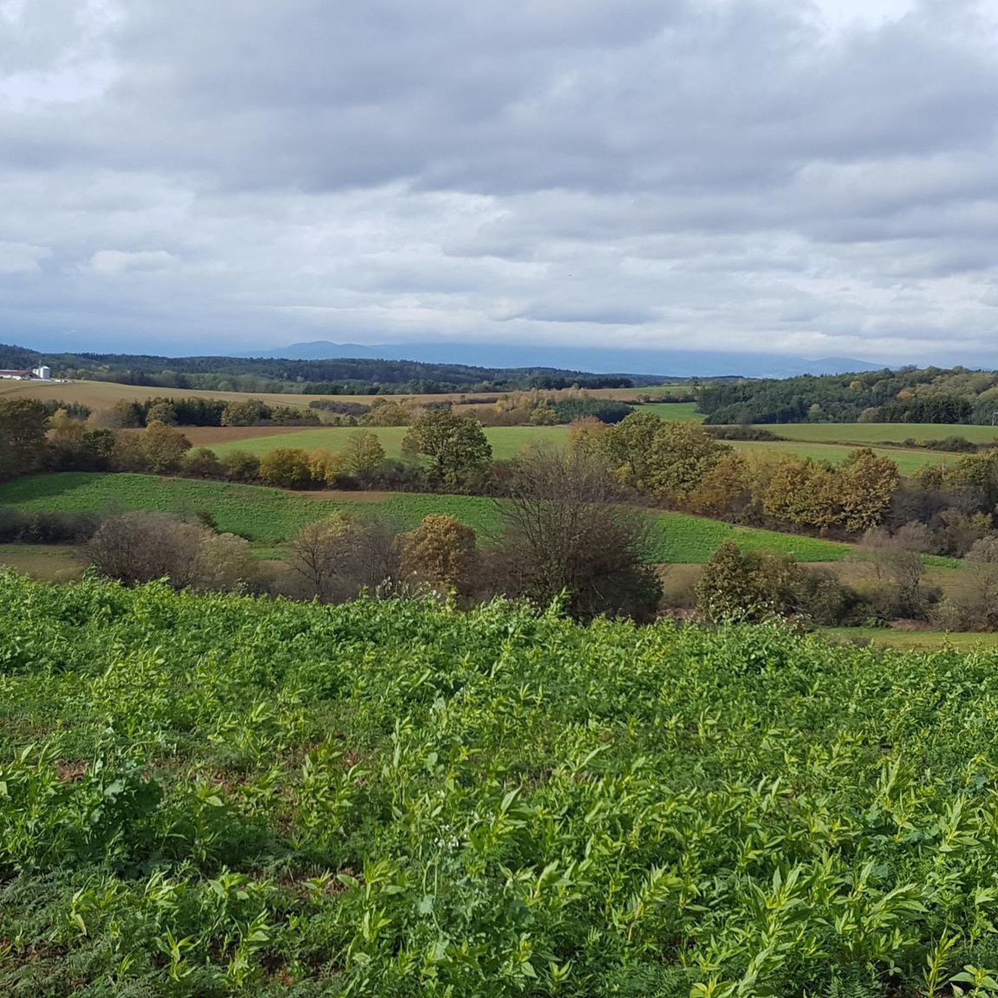
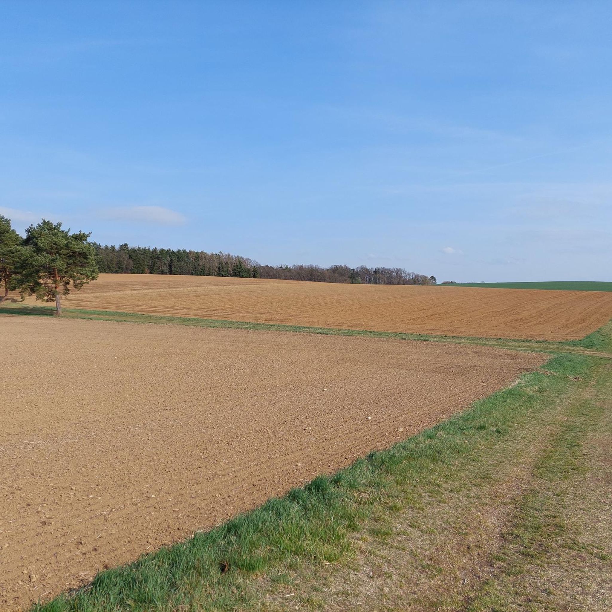
Hiking around Unterwart offers diverse landscapes at the foot of the Geschriebenstein massif, providing varied experiences for outdoor enthusiasts. The region features rolling hills, dense forests, and picturesque lakes, creating scenic backdrops for hiking excursions. This area, part of the broader Oberwart district in Burgenland, Austria, has a well-developed trail network suitable for different skill levels. The terrain includes both gentle paths and more demanding ascents, with elevations offering views across Burgenland and into Hungary.
Best hiking trails around Unterwart
…Last updated: October 16, 2026
5.0
(4)
9
hikers
Moderate hike. Good fitness required. Easily-accessible paths. Suitable for all skill levels.
16
hikers
Easy hike. Great for any fitness level. Easily-accessible paths. Suitable for all skill levels.

7
hikers
Easy hike. Great for any fitness level. Easily-accessible paths. Suitable for all skill levels.
5.0
(2)
9
hikers
Moderate hike. Good fitness required. Easily-accessible paths. Suitable for all skill levels.
12
hikers
Easy hike. Great for any fitness level. Easily-accessible paths. Suitable for all skill levels.
Get access to more routes and recommendations from other explorers.
Already have an account?
Our route recommendations are based on thousands of hikes, rides, and runs completed by other people on komoot.
Start today with a free account
Your next adventure awaits.

Tips from the Community

Here you can take a break at the Pinkaufer.
0
0
This highlight had to be included. Even if it has neither historical nor similar character... but how often do you see a "self-service dog wash" with coin slot ... 😁
0
0

Also called Baumgartner Kreuz. Named after the noble donor.
0
0
Here you can take a leisurely break during a pond circuit and let your soul dangle...
0
0
Here you will pass a Jesus cross and a place to rest.
0
0
Wonderful pond in the middle of the forest. A visit here is always worthwhile. And during the warm season, of course, stop by KOI for a coffee (or more).
1
0

Avoid this place! The owner is very bumptious and not friendly to cyclists. We rode to the place only to be denied a table because he claimed they were full, while almost all of the tables on the terrace were free, only one was taken by other guests. A restaurant owner who cannot make room for two people arriving on bicycles and hungry, does not deserve the trust from the biking community.
0
0
Frequently Asked Questions
How many hiking trails are available in Unterwart?
Unterwart offers a wide variety of hiking experiences with over 330 routes. These include more than 180 easy trails, 140 moderate options, and a few challenging routes for experienced hikers.
What kind of terrain can I expect on hikes around Unterwart?
The terrain around Unterwart is quite diverse, featuring rolling hills, dense forests, and picturesque lakes. You'll find paths ranging from gentle walks to more demanding ascents, especially as you approach the Geschriebenstein massif, which offers significant elevation changes and rewarding views.
Are there any easy hiking options suitable for beginners or casual walkers?
Yes, Unterwart has numerous easy hikes perfect for beginners or those looking for a relaxed stroll. An example is the Oberwart Exhibition Center loop from Oberwart/Felsőőr, an easy 3.8-mile path that takes about 1 hour 30 minutes. Another pleasant option is the Koi Ponds Oberdorf – KOI — Dining by the Pond loop from KOI, a 3.2-mile trail through picturesque koi ponds.
Can I find circular hiking routes in the Unterwart area?
Yes, many of the trails around Unterwart are designed as circular routes, allowing you to start and end at the same point. Popular examples include the Großer Teich – KOI — Dining by the Pond loop from Oberdorf im Burgenland and the Oberwart Exhibition Center loop from Oberwart/Felsőőr.
What are the best times of year to go hiking in Unterwart?
Spring and autumn are particularly beautiful seasons for hiking in Unterwart. In spring, the paths are lined with blooming flowers, while autumn transforms the forests into a vibrant display of colors. The varied terrain makes it enjoyable across different seasons, but these two offer unique scenic beauty.
Are there family-friendly hiking trails in Unterwart?
Yes, the region is well-suited for families. The "Burgenländischer Rundwanderweg" (Burgenland Circular Hiking Trail) is particularly recommended, as it incorporates historical sites like Bernstein Castle or the Lockenhaus Castle Museum, making the experience engaging for children while enjoying nature.
Are dogs allowed on the hiking trails around Unterwart?
Generally, dogs are welcome on hiking trails in the Unterwart region. However, it's always advisable to keep them on a leash, especially in nature protection areas or when passing through agricultural land, to ensure the safety of your pet and local wildlife.
What natural features or landmarks can I see while hiking?
Hiking around Unterwart offers views of diverse natural features. You can expect to see picturesque lakes, dense forests, and rolling hills. Ascending the Geschriebenstein massif provides breathtaking panoramic views extending across Burgenland and into Hungary. Some routes also feature local carved artworks in the woods.
Are there places to eat or relax near the hiking trails?
Yes, some routes offer opportunities for culinary delights and relaxation. For instance, the Großer Teich – KOI — Dining by the Pond loop from Oberdorf im Burgenland and the Koi Ponds Oberdorf – KOI — Dining by the Pond loop from KOI lead to "KOI — Dining by the Pond," a relaxing spot to enjoy a meal after your hike.
What do other hikers say about the trails in Unterwart?
The hiking routes in Unterwart are highly regarded by the komoot community, holding an average rating of 4.5 stars from over 700 reviews. Hikers frequently praise the diverse landscapes, well-maintained paths, and the scenic beauty of the rolling hills and forests.
Are there any historical sites or castles to explore near the hiking routes?
Yes, the region around Unterwart is rich in history. You can explore several castles, such as Schlaining Castle and Rotenturm Castle. Some trails, like the "Burgenländischer Rundwanderweg," even incorporate these historical sites, offering a blend of nature and culture.
Where can I park my car when hiking in Unterwart?
Parking is generally available at common starting points for hiking trails, such as near the Oberwart Exhibition Center or in the villages like Oberdorf im Burgenland and Rotenturm an der Pinka. Specific parking information can often be found on individual route descriptions.
How can I reach the hiking trails around Unterwart using public transport?
While some trailheads might be accessible by local bus services, public transport options can be limited in rural areas. It's recommended to check local bus schedules for connections to villages like Oberwart or Oberdorf, which serve as starting points for many routes. Planning your route in advance with public transport information is advisable.
Most popular attractions around Unterwart

Get inspired with the komoot mobile app


Explore more
Browse the best Hikes in other regions.
