The best road cycling routes around Colfontaine
4.2
(200)
8,670
riders
544
rides
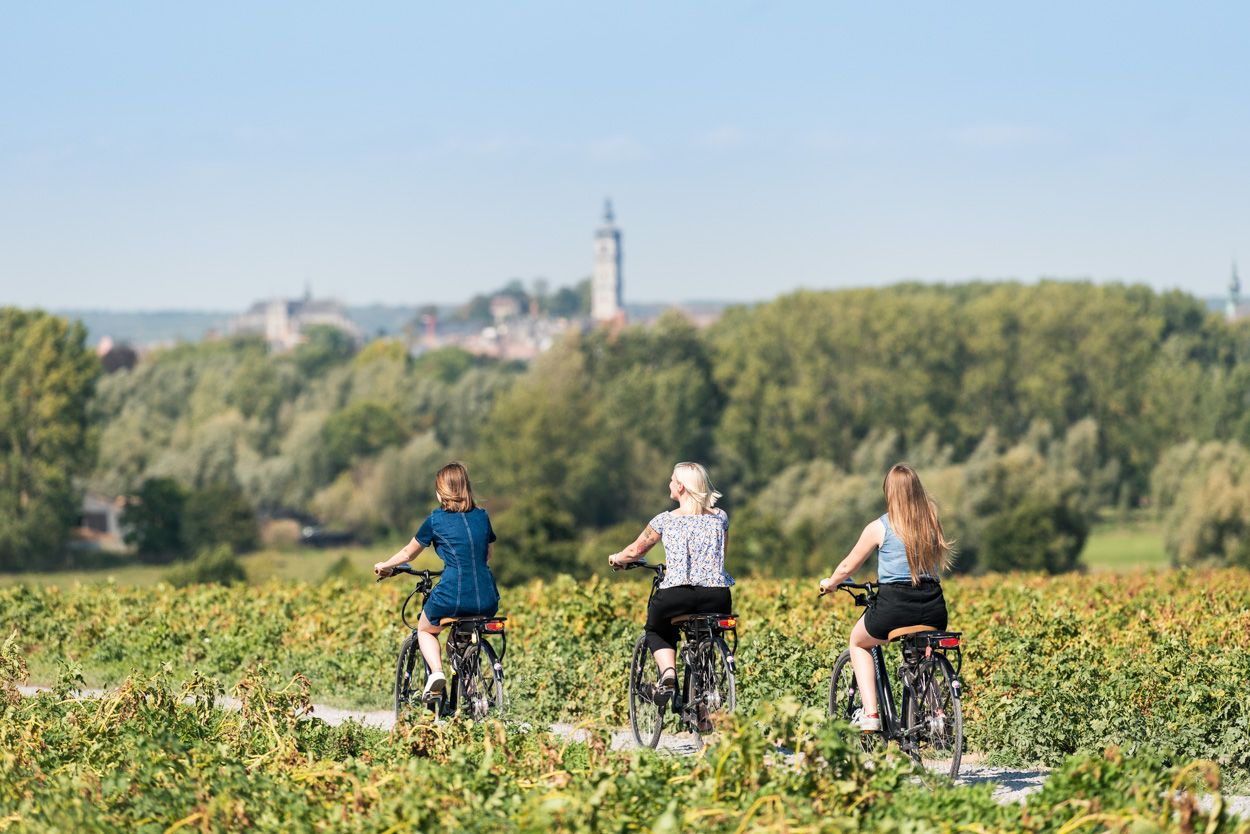
Road cycling routes around Colfontaine traverse a landscape characterized by wooded areas, rolling hills, and rural scenery within the Walloon region of Belgium. The area features the Colfontaine Forest, a 750-hectare protected wilderness, and is integrated into the RAVeL network, which provides extensive paths for non-motorized users. These routes often follow disused railway lines and towpaths, offering generally comfortable and safe cycling conditions. The terrain includes gentle slopes and specific climbs, providing diverse options for road cyclists.
Best road cycling…
Last updated: August 25, 2026
35
riders
30.5km
01:25
210m
210m
Easy road ride. Great for any fitness level. Mostly well-paved surfaces and easy to ride.
7
riders
Easy road ride. Great for any fitness level. Mostly well-paved surfaces and easy to ride.

Sign up for free
5.0
(3)
20
riders
27.5km
01:14
160m
160m
Easy road ride. Great for any fitness level. Mostly well-paved surfaces and easy to ride.
15
riders
Easy road ride. Great for any fitness level. Mostly well-paved surfaces and easy to ride.
4.0
(1)
17
riders
17.3km
00:55
120m
120m
Easy road ride. Great for any fitness level. Mostly well-paved surfaces and easy to ride.
Get access to more routes and recommendations from other explorers.
Sign up for free
Already have an account?
Our route recommendations are based on thousands of hikes, rides, and runs completed by other people on komoot.
Start today with a free account
Your next adventure awaits.
Login or Signup

Other adventures around Colfontaine

Tips from the Community

very rolling and fast section
0
0

like a little trip to the moon...
0
0

The name “Sars” comes from the Latin “Sartum”, meaning a cleared place, emphasizing its agricultural vocation. Sars-la-Bruyère is crossed by an old Roman road linking Bavay to Utrecht. The keep of Sars-la-Bruyère, dating from the 13th century, is one of the oldest medieval remains in the region.
1
0

the view of the wheel is splendid from this side.
0
0

Forty-five signage panels combine heritage history and the cult of vintage in an offbeat way by placing a bestiary of characters from virtual mythology on an out-of-time electronic journey dotted with galleries and slag heaps.
5
0
Forty-five signage panels combine heritage history and the cult of vintage in an offbeat way by placing a bestiary of characters from virtual mythology on a timeless electronic journey dotted with galleries and slag heaps. http://www.blancmurmure.be/files/9114/4310/1820/triptyque_BM_tvdp_447.5x210_v2.pdf
9
0
The shelter was born out of a need from friends of Ravel for their pétanque events. Blanc Murmure inserted his questioning artistic on borain heritage. The fresco draws portraits of the project stakeholders; the black structure evokes both the bicycles passing on the Ravel and the triangular shape of an inverted slag heap.
1
0
The Borinage is inextricably linked to a prestigious industrial past that created a lot of wealth in Europe. A number of small railway lines were built to transport both labor and coal. These lines have now been transformed into beautiful RAVeL routes. These four routes of the RAVeL of the Borinage (Lines 98,98A, 98B and 98C) will take you into different atmospheres in no time. You drive from a heavily urbanized and industrial region to wooded zones and agricultural areas. You will be amazed! On the one hand you cycle between the coal slag heaps, but you also visit cultural places that were visited by Van Gogh and Verhaeren. In short, a bike tour full of surprises! Adventurers can also cycle on the short Line 98B, between Warquignies and Boussu. We propose 3 stages, which are not connected to each other, but can be combined: Line 98, the Borinage hills, between Cuesmes and Quiévrain Line 98A, the RAVeL of the 'Hauts-Pays', between Dour and Onnezies. Line 98C, between Frameries and Hornu. https://ravel.wallonie.be/nl/home/itineraires/local/lignes-98-du-borinage.html
9
0
Frequently Asked Questions
How many road cycling routes are available around Colfontaine?
There are over 500 road cycling routes around Colfontaine, offering a wide range of options for various skill levels and preferences. These routes traverse diverse landscapes, from wooded areas to rolling hills and rural scenery.
What kind of terrain can I expect on road cycling routes in Colfontaine?
Road cycling routes in Colfontaine feature a mix of terrain. You'll find extensive sections of the RAVeL network, which are typically paved, comfortable, and gently sloping, often following disused railway lines. The broader region is characterized by rolling hills, and some routes include specific climbs like Rue A Paniers, Ruelle Gillot, Tierne Carion, and Rue de la Louise, providing opportunities for elevation gain.
Are there road cycling routes suitable for beginners or families in Colfontaine?
Yes, Colfontaine offers many routes suitable for beginners and families, largely thanks to its integration into the RAVeL network. These paths are reserved for non-motorized users, are generally paved, and feature gentle slopes, making them comfortable and safe for all skill levels. There are 85 easy routes available, perfect for a relaxed ride.
What are some natural features or scenic views I can expect along the routes?
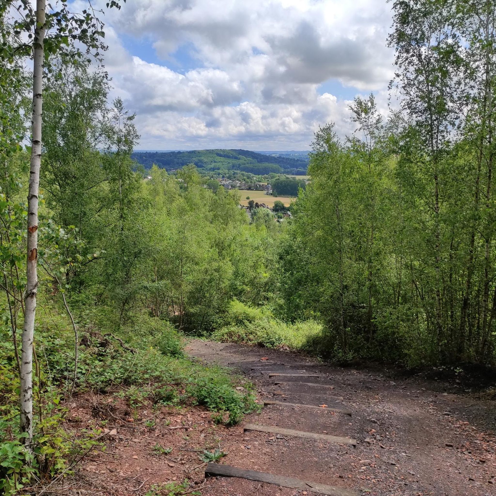
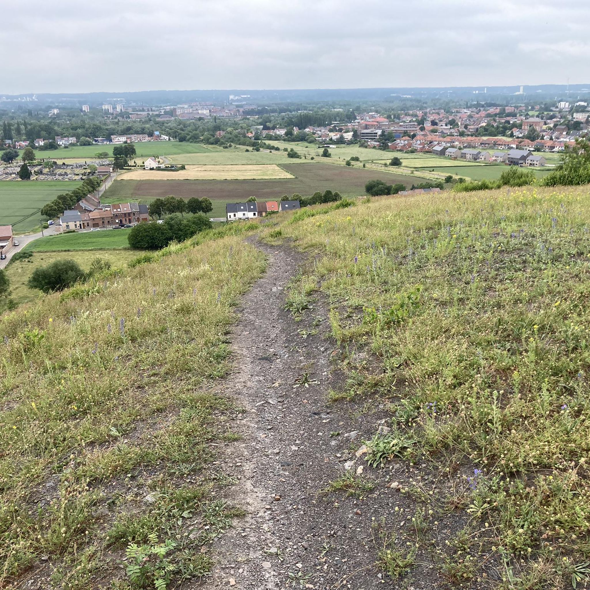
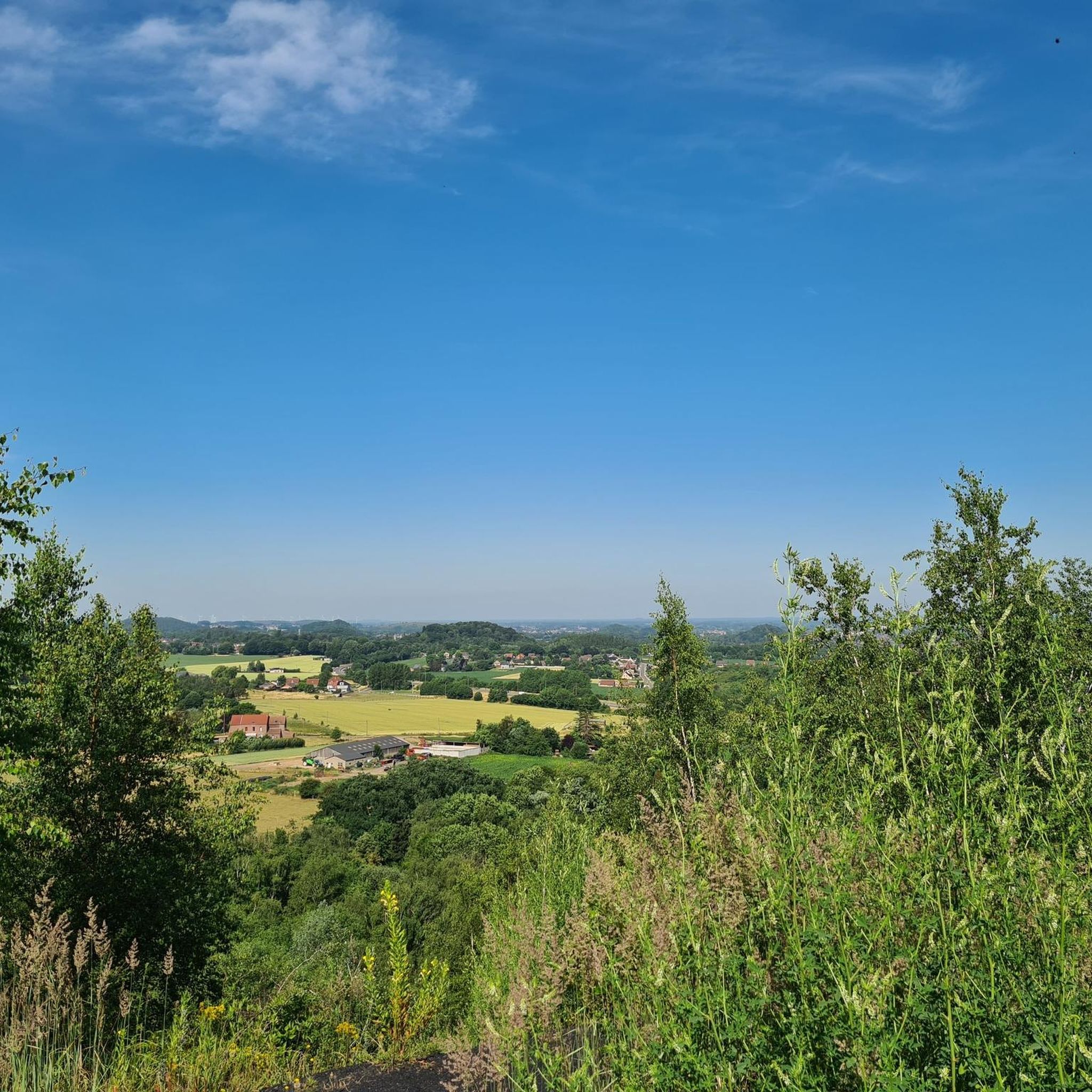
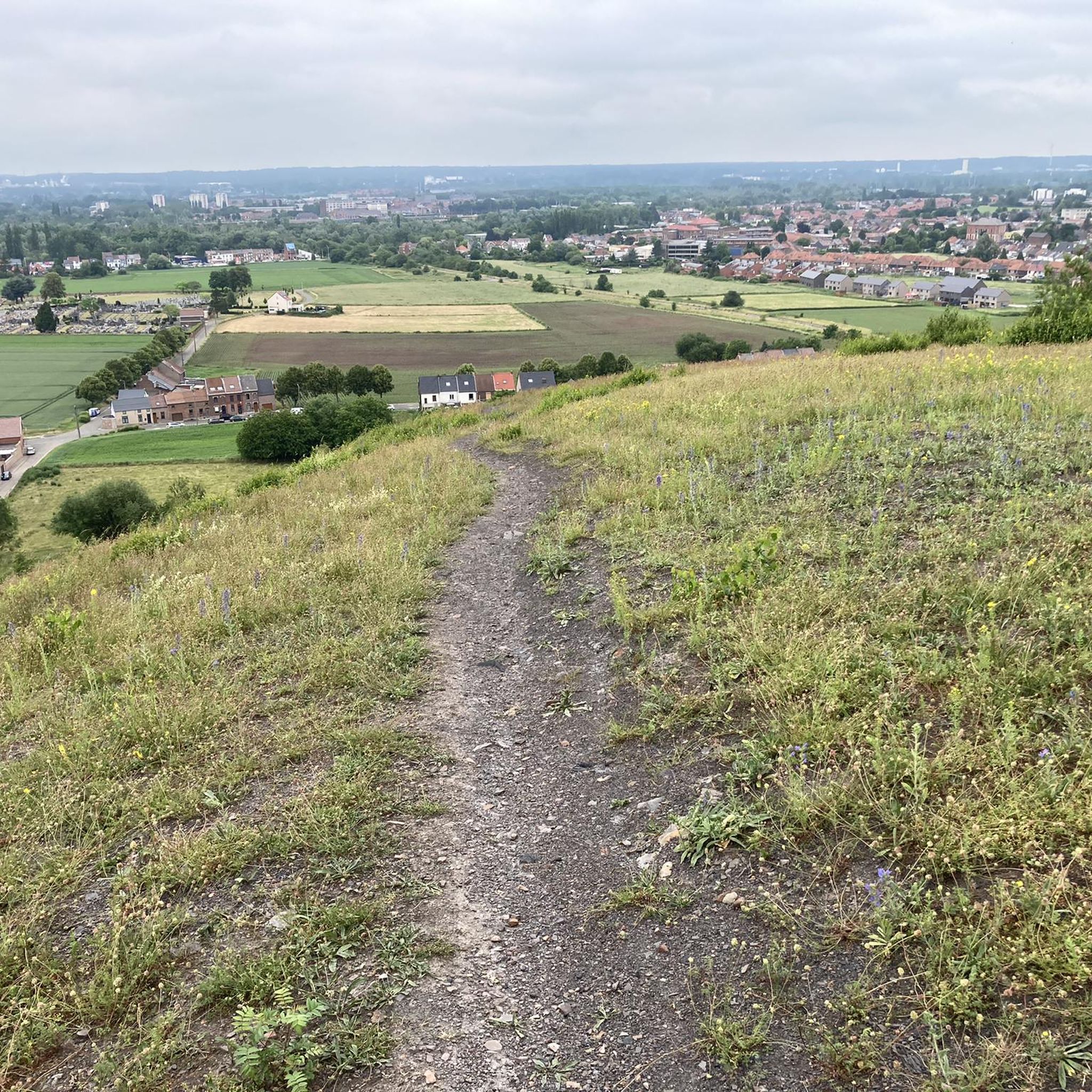
The region is known for its 'extremely green' nature. You can cycle through the sprawling Colfontaine Forest, which is a protected wilderness with rich flora. Many routes offer scenic views of wooded areas, rural landscapes, and even remnants of the region's mining past, such as impressive slag heaps that provide panoramic vistas. You might also encounter streams and springs within the forest.
Are there any interesting landmarks or attractions to see while road cycling in Colfontaine?
Yes, beyond the natural beauty, Colfontaine offers glimpses into its rich history. You can encounter sites related to its mining heritage, such as the headframe of the Sauwartan mine or the Marcasse Reserve. For natural attractions, consider visiting the Hyon Waterfall and Ponds. Other nearby points of interest include the Town Hall or the Mons Grand Place.
What do other road cyclists enjoy most about road cycling in Colfontaine?
The area is highly rated by the komoot community, with an average score of 4.2 stars from over 150 reviews. Cyclists often praise the varied terrain, from the comfortable RAVeL paths to the challenging rolling hills, and the beautiful, often green, scenery. The extensive network of routes and the blend of natural and historical sights are also frequently highlighted.
Are there any challenging road cycling routes for experienced riders?
Yes, while many routes are accessible, Colfontaine also offers more challenging options. Some routes feature greater elevation gains and specific climbs like Rue A Paniers, Ruelle Gillot, Tierne Carion, and Rue de la Louise. These routes provide a good workout for experienced riders looking for diverse terrain. There are 38 difficult routes available for those seeking a challenge.
Can I find circular road cycling routes in Colfontaine?
Yes, many road cycling routes around Colfontaine are designed as loops. For example, the Mur de Spienne loop from Colfontaine is a popular option covering about 36.4 km with moderate elevation. Another great loop is the Rue Willson loop from Eugies, which is an easy 34.7 km ride.
How long do road cycling routes typically take to complete in Colfontaine?
The duration of road cycling routes varies significantly based on distance, elevation, and your pace. For instance, the popular Wauxhall Mons – Békane Bike Shop & Café loop from Saint-Ghislain, which is 28.8 km, typically takes around 2 hours and 7 minutes. Longer routes, like the Château du Petit-Cambrai – Sars-la-Bruyère loop from Frameries (41.1 km), can take about 1 hour and 44 minutes, depending on the difficulty and your speed.
Is the Colfontaine Forest accessible for road cycling?
The Colfontaine Forest, a 750-hectare protected wilderness, is a significant feature of the region. While it has over 30 kilometers of marked trails, road cyclists will primarily use the paved roads and RAVeL sections that border or pass through parts of the forest, offering a chance to experience its serene atmosphere and natural beauty.
Are there any specific climbs or challenging sections for road cyclists?
Yes, for those seeking more challenging ascents, the region includes specific climbs that are well-known among local cyclists. These include Rue A Paniers, Ruelle Gillot, Tierne Carion, and Rue de la Louise. These sections contribute to the diverse elevation profiles found on some of the more difficult routes.
Can I combine road cycling with exploring historical sites?
Absolutely. Colfontaine's road cycling routes often weave through areas rich in history. You can cycle past remnants of the region's mining heritage, such as slag heaps and the headframe of the Sauwartan mine. The
Most popular routes around Colfontaine
Most popular attractions around Colfontaine

Get inspired with the komoot mobile app


Explore more
Browse the best Road cycling routes in other regions.
