The best cycling routes around Untervaz
4.6
(1551)
21,953
riders
273
rides
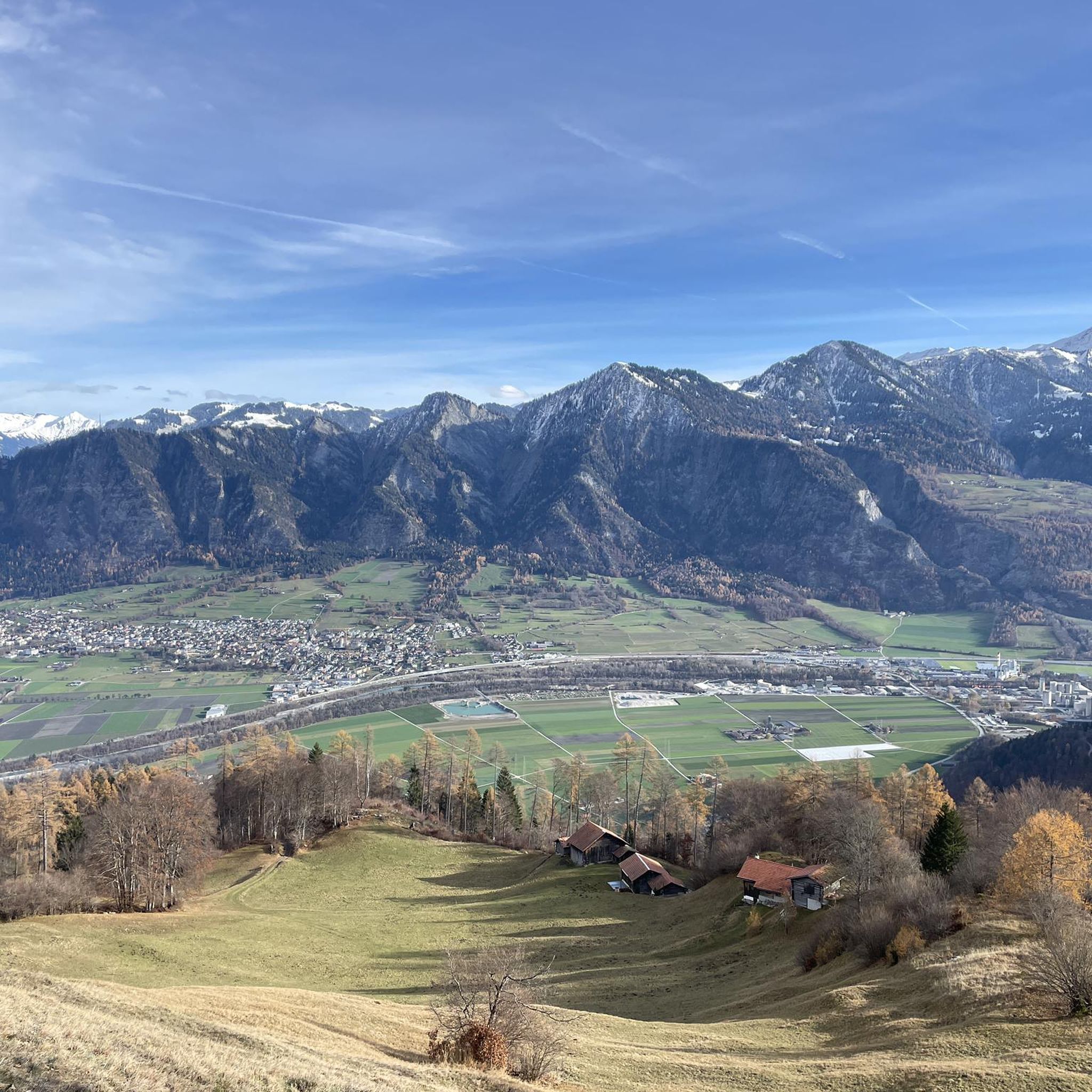
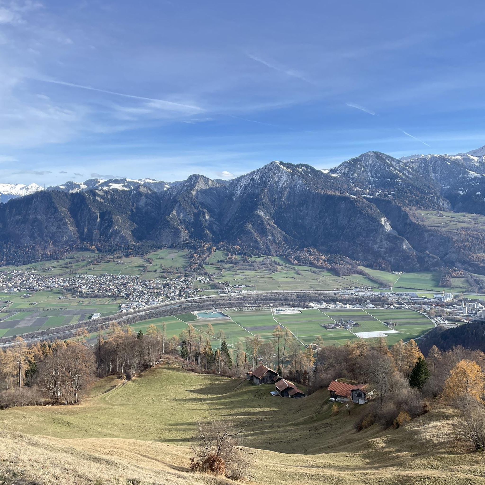
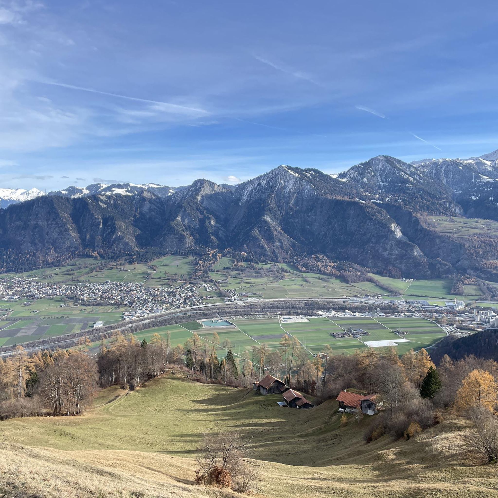
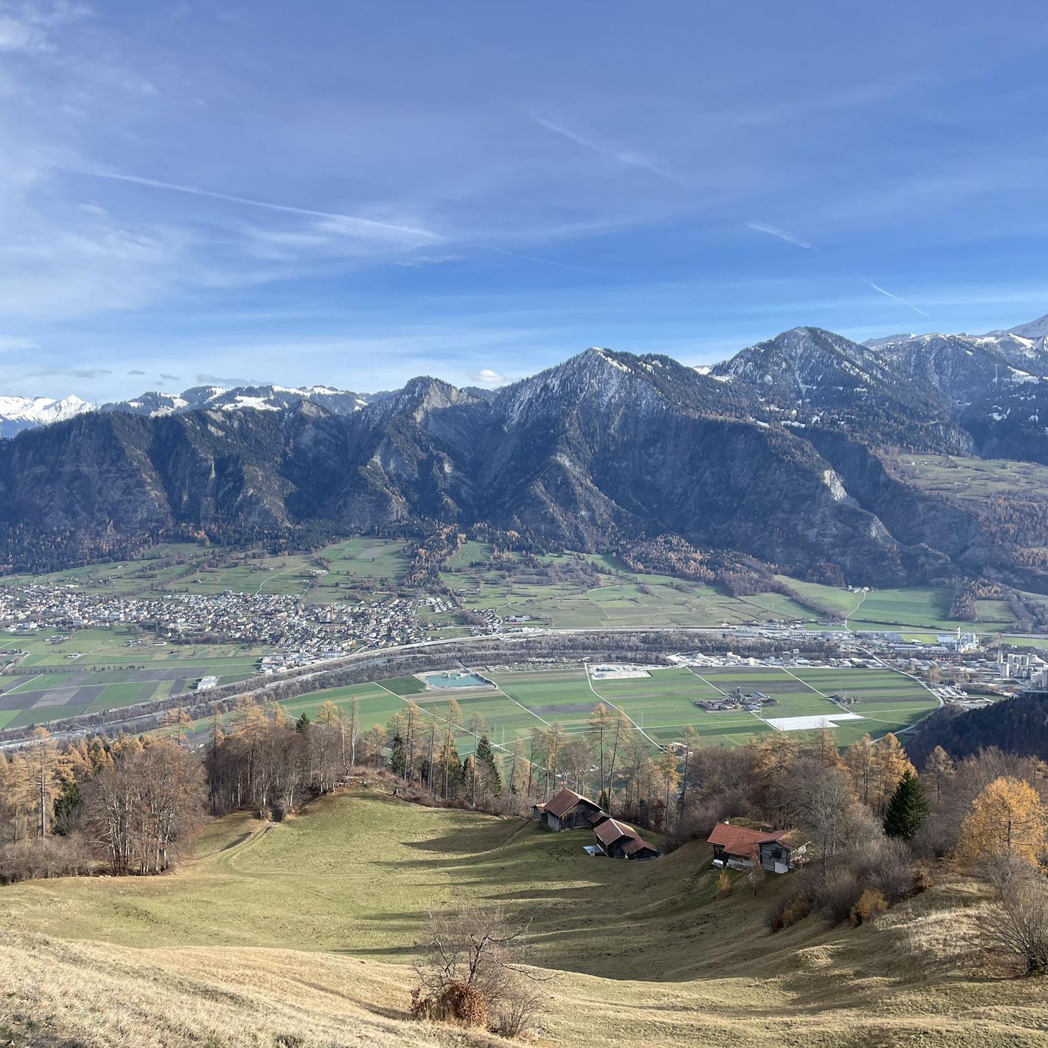
Touring cycling routes around Untervaz are situated in the Graubünden Rhine Valley, at the base of the Calanda mountain. The region features a varied landscape of idyllic forests, babbling brooks, and impressive viewpoints. Cyclists can explore tranquil lakeside paths, gentle ascents, and more challenging mountainous areas, with dramatic rock formations of the Rätikon mountains enhancing the scenery. Elevated positions offer expansive vistas of the St. Gallen and Chur Rhine Valley, Prättigau, Bündner Herrschaft, Sarganserland, and Liechtenstein.
Best touring cycling routes…
Last updated: August 18, 2026
4.5
(36)
374
riders
39.2km
02:28
150m
150m
Moderate bike ride. Good fitness required. Mostly paved surfaces. Suitable for all skill levels.
4.9
(35)
274
riders
Hard bike ride. Very good fitness required. Mostly paved surfaces. Suitable for all skill levels.

Sign up for free
4.3
(13)
169
riders
30.9km
02:04
330m
330m
Moderate bike ride. Good fitness required. Mostly paved surfaces. Suitable for all skill levels.
4.8
(6)
107
riders
32.0km
02:25
490m
490m
Hard bike ride. Very good fitness required. Mostly paved surfaces. Suitable for all skill levels.
5.0
(5)
113
riders
79.6km
05:52
1,730m
1,730m
Hard bike ride. Very good fitness required. Mostly paved surfaces. Suitable for all skill levels.
Get access to more routes and recommendations from other explorers.
Sign up for free
Already have an account?
Our route recommendations are based on thousands of hikes, rides, and runs completed by other people on komoot.
Start today with a free account
Your next adventure awaits.
Login or Signup
Tips from the Community


A place of power in a special class
0
0

Ruinaulta Rhine Gorge The Ruinaulta, or Rhine Gorge, is a gorge of the Vorderrhein River, up to 400 meters deep and approximately 13 kilometers long, between Ilanz and the mouth of the Hinterrhein River near Reichenau in the canton of Graubünden in Switzerland. The Romansh name 'Ruinaulta' is composed of the two words ruina (scree slope, quarry) and aulta (high). The Ruinaulta was formed after the Flims Landslide almost 10,000 years ago. At that time, over 10 billion cubic meters of rock broke off between the Flimserstein and Piz Grisch, burying the Vorderrhein Valley between the present-day villages of Castrisch and Reichenau under a mass of debris several hundred meters thick. Because the Vorderrhein River could no longer drain away, a lake was dammed over a length of approximately 25 kilometers. Over time, the river cut deep into the landslide, and the resulting lake drained away completely. What remained was the Ruinaulta, with its steep limestone scree cliffs in impressive erosion formations. Text / Source: Wikipedia https://de.wikipedia.org/wiki/Ruinaulta
16
0
Confluence of the Vorderrhein and Hinterrhein, Reichenau Dominated by Reichenau Castle, the hamlet lies at the confluence of the Vorderrhein and Hinterrhein rivers, making it virtually the birthplace of the Rhine. It all began 10,000 years ago. Between the Flimserstein (a high plateau) and Piz Grisch, over 10,000 cubic meters of rock broke off and thundered down into the valley. Towards Reichenau, the Vorderrhein valley disappears under a gigantic mass of rubble. From there, the Rhine diligently ate its way through the rock, creating the spectacular Swiss "Grand Canyon" – the Ruinaulta. Text / Source: myswitzerland.com https://www.myswitzerland.com/de-ch/erlebnisse/route/vom-zusammenfluss-der-rheine-in-die-rheinschlucht/
16
0

Beautiful, easy-to-ride cycle path.
2
0

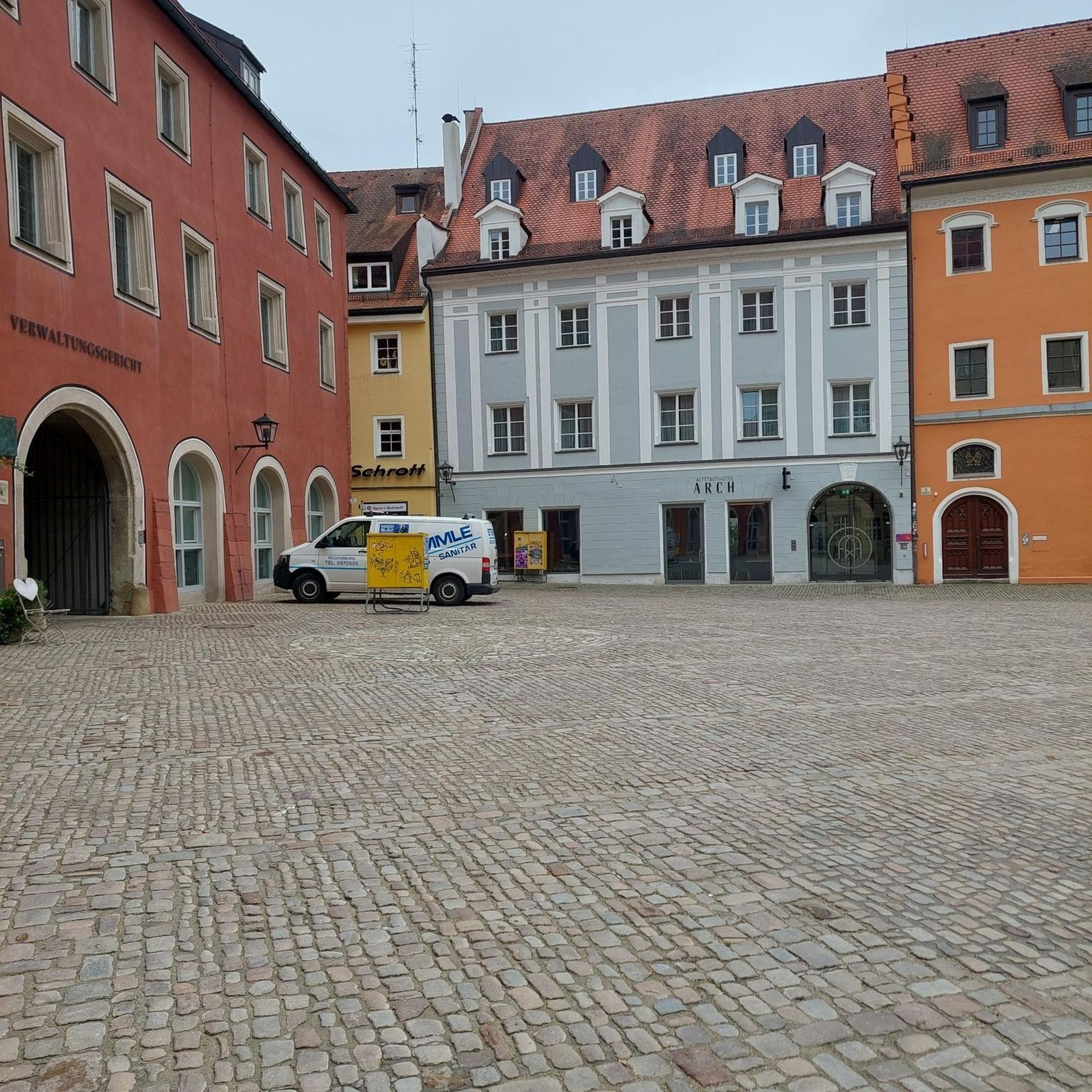
Very beautiful old town with a large abbey.
1
0
Third city on the Rhine with three special highlights 1. Porsche Center 2. Restaurant Eichengut 3. Cantunada Wein und Sein Winery and special location
0
0

Frequently Asked Questions
How many touring cycling routes are available around Untervaz?
Untervaz offers an extensive network of over 270 touring cycling routes. These routes cater to various preferences, from leisurely rides to more demanding climbs, allowing cyclists to explore the diverse landscapes of the Graubünden Rhine Valley.
What types of terrain can I expect on touring cycling routes in Untervaz?
The region around Untervaz, situated in the Graubünden Rhine Valley at the base of the Calanda mountain, features a varied landscape. You can expect to cycle through idyllic forests, along babbling brooks, and discover impressive viewpoints. Routes include tranquil lakeside paths, gentle ascents, and more challenging mountainous areas with dramatic rock formations of the Rätikon mountains.
Are there any family-friendly touring cycling routes in Untervaz?
Yes, Untervaz offers a selection of routes suitable for families. Among the 277 available routes, 54 are classified as easy, providing gentler terrain and shorter distances perfect for a family outing. These routes often follow the Rhine riverside or pass through scenic, less challenging areas.
What are some notable historical or natural attractions I can see along the cycling routes?
Cycling routes around Untervaz offer access to several fascinating attractions. You can explore the deep and mystical Tamina Gorge, known for Europe's most abundant thermal spring. The region also boasts several castle ruins, such as Neuenburg Castle Ruins, perched above the Rhine, and the remnants of Rappenstein and Friewis Castles. Additionally, the Walser settlement of Batänja offers picturesque views of the Rhine Valley.
Are there any circular touring cycling routes in the area?
Yes, many touring cycling routes in Untervaz are designed as loops, allowing you to start and finish at the same point. An example is the View of Marschlins Castle – Marschlins Castle loop from Zizers, which is a moderate 31.2 km ride offering views of the historic castle.
What do other touring cyclists say about the routes in Untervaz?
The touring cycling routes in Untervaz are highly regarded by the komoot community, with an average rating of 4.6 stars from over 1,300 reviews. Cyclists often praise the varied terrain, the stunning views of the St. Gallen and Chur Rhine Valley, and the well-maintained paths that cater to different skill levels.
What is the best season for touring cycling in Untervaz?
While specific seasonal data isn't provided, the varied natural terrain of Untervaz, encompassing tranquil lakeside paths and mountainous areas, suggests that spring through autumn offers the most favorable conditions. During these seasons, you can best enjoy the idyllic forests, babbling brooks, and expansive vistas without the challenges of winter weather.
Are there options for more challenging touring cycling routes?
Absolutely. For experienced touring cyclists seeking a challenge, Untervaz offers 136 routes classified as difficult. These routes often feature significant elevation gains and longer distances, such as the Neuenburg Castle Ruins – Rhine Riverside Trail loop from Burg Neuburg, a 32 km route with considerable climbing.
Can I access the touring cycling routes using public transport?
While specific public transport links to trailheads are not detailed, Untervaz is situated in the Graubünden Rhine Valley, a well-connected region. Many routes are accessible from villages and towns that typically have public transport connections, making it feasible to reach starting points without a car. It's advisable to check local transport schedules for specific route access.
Are there places to stop for refreshments or rest along the routes?
Yes, the region is known for its hospitality. The region research indicates the presence of inviting huts along many routes, offering convenient stops for rest and sampling local specialties. Additionally, towns and villages along the Rhine Valley will have cafes and restaurants where cyclists can refuel.
What kind of views can I expect from the elevated points on the routes?
Elevated positions, such as the Pizalun Summit, offer truly expansive vistas. From these points, you can enjoy panoramic views of the St. Gallen and Chur Rhine Valley, Prättigau, Bündner Herrschaft, Sarganserland, and even the Principality of Liechtenstein. The dramatic rock formations of the Rätikon mountains also enhance the scenic beauty.
Are there any routes that connect to neighboring regions or longer trails?
Yes, some routes in Untervaz offer connectivity to neighboring regions. For instance, the Liechtenstein Trail, which is suitable for e-bikes, traverses the entire Principality of Liechtenstein and can be accessed from the wider region, allowing for longer excursions and multi-day tours.
Most popular routes around Untervaz
Most popular attractions around Untervaz

Get inspired with the komoot mobile app


Explore more
Browse the best Cycling routes in other regions.
