The best walks and hikes around Unterrabnitz-Schwendgraben
4.5
(836)
3,829
hikers
120
hikes
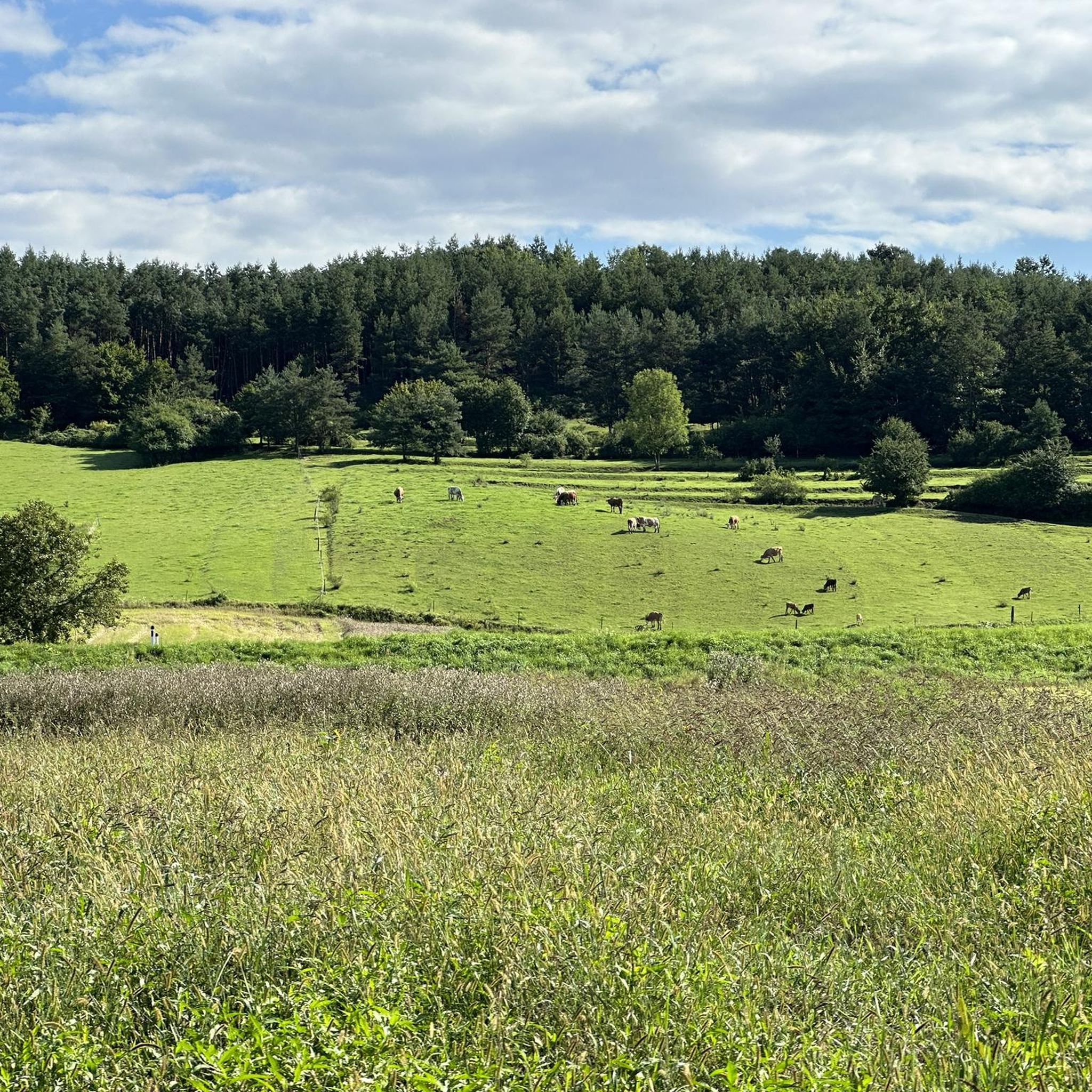
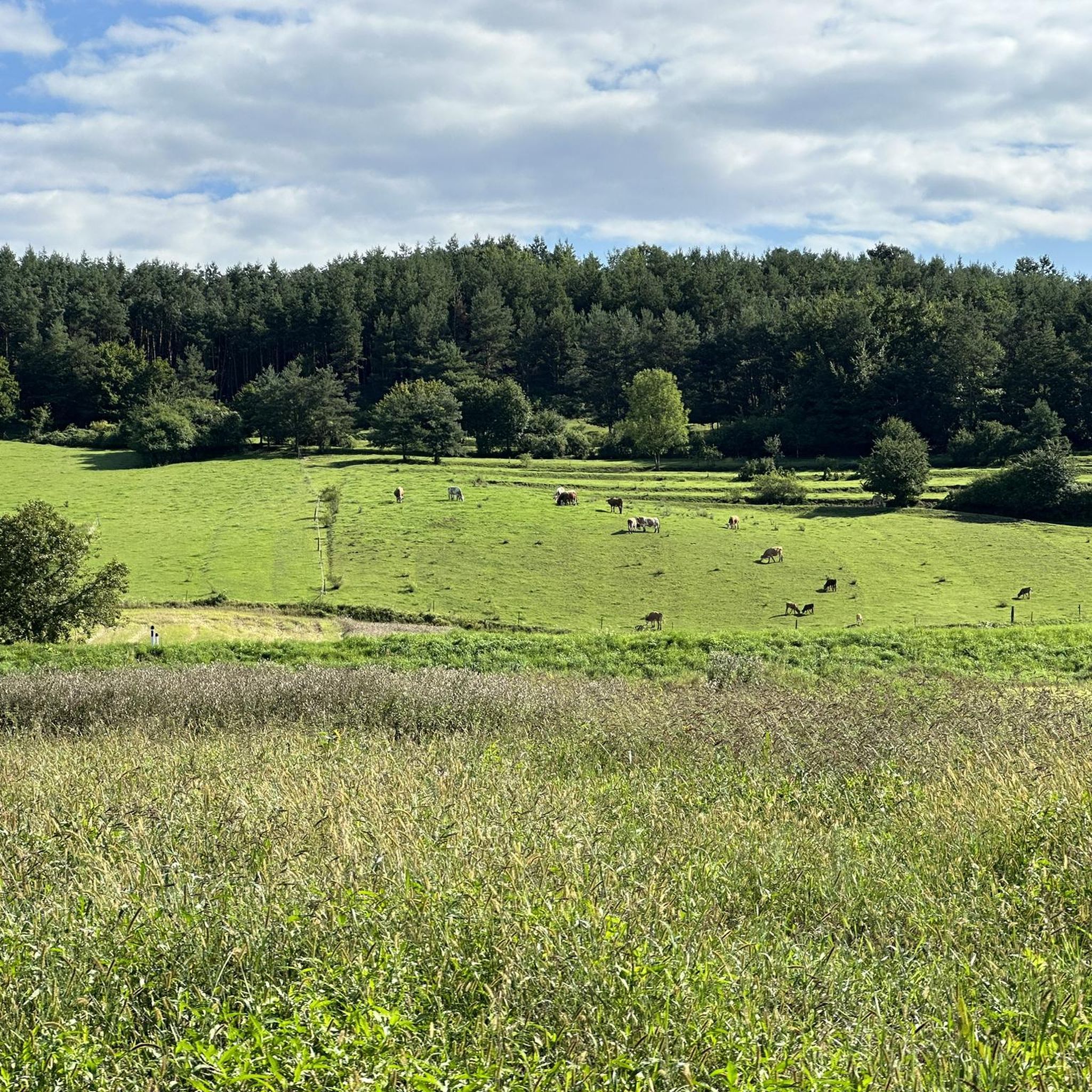
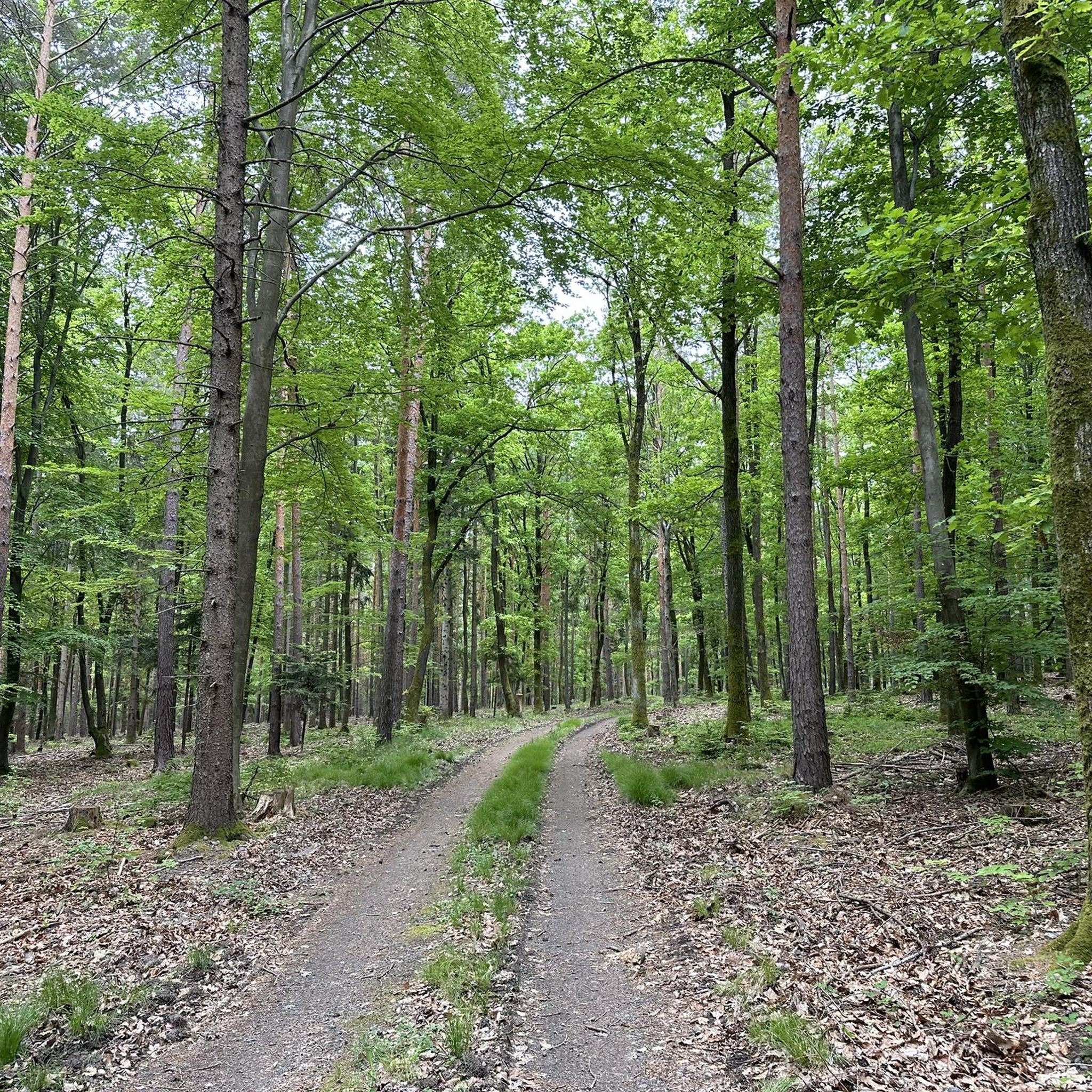
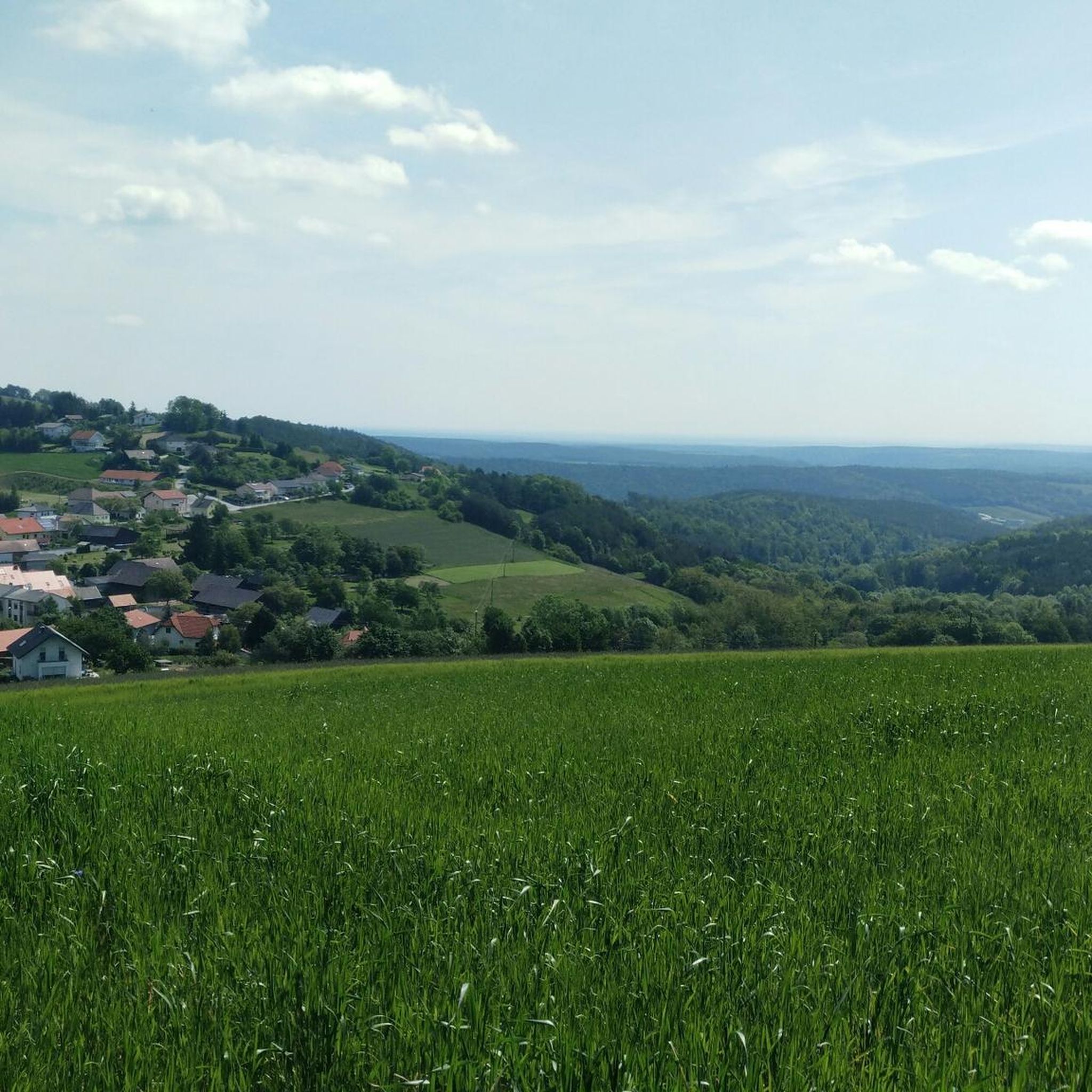
Hiking around Unterrabnitz-Schwendgraben offers varied terrain in the Oberpullendorf district of Burgenland, Austria. The region is characterized by rolling hills, part of the "Bucklige Welt," with elevations ranging from 314 meters to approximately 470 meters above sea level. Extensive forests cover over 60% of the area, complemented by agricultural land and river valleys formed by the Rabnitz and Solibach rivers. This landscape provides a mix of shaded trails and open views for hikers.
Best hiking trails around Unterrabnitz-Schwendgraben
- The most…
Last updated: June 29, 2026
3.5
(2)
19
hikers
Moderate hike. Good fitness required. Easily-accessible paths. Suitable for all skill levels.
1.0
(1)
18
hikers
Easy hike. Great for any fitness level. Easily-accessible paths. Suitable for all skill levels.

Sign up for free
4.7
(6)
12
hikers
12.4km
03:25
210m
210m
Moderate hike. Good fitness required. Easily-accessible paths. Suitable for all skill levels.
1
hikers
11.4km
03:05
160m
160m
Moderate hike. Good fitness required. Easily-accessible paths. Suitable for all skill levels.
7
hikers
Easy hike. Great for any fitness level. Easily-accessible paths. Suitable for all skill levels.
Get access to more routes and recommendations from other explorers.
Sign up for free
Already have an account?
Our route recommendations are based on thousands of hikes, rides, and runs completed by other people on komoot.
Start today with a free account
Your next adventure awaits.
Login or Signup
Tips from the Community

A work of art is always nice to look at. Unfortunately, wood is not durable.
1
0
Such a small work of art is always an eye-catcher.
1
0
Here you can learn interesting facts about bees around the lake.
0
0

The freely accessible open-air museum conveys the life of the Burgenland in the period between 500 and 1000 AD as an adventure facility. The early medieval village currently consists of a group of five residential or craft buildings, a ceramic kiln, an oven, a blacksmith's hut and a kitchen. Is a bit off. It is definitely worth the detour - really worth seeing! Further information: http://www.fruehmittelalterdorf.at
0
0

There are many wooden sculptures around the pond. Same here.
1
0
And another sculpture. Double this time :)
1
0
The first sculpture on our small pond round. Looks like a "shameful" ... but judge for yourself.
1
0
Frequently Asked Questions
How many hiking trails are available in Unterrabnitz-Schwendgraben?
Unterrabnitz-Schwendgraben offers a wide variety of hiking opportunities, with over 120 routes available. These range from easy strolls to more challenging treks, ensuring there's something for every hiker.
What kind of terrain and elevation changes can I expect on hikes in Unterrabnitz-Schwendgraben?
The region is characterized by rolling hills, as it lies at the foothills of the 'Bucklige Welt' (Hilly World). You can expect varied topography, with elevations ranging from 314 meters in the valleys to approximately 470 meters above sea level. Trails often wind through extensive forests and agricultural land, offering a mix of shaded paths and open views.
Are there hiking options for all skill levels in the region?
Yes, Unterrabnitz-Schwendgraben provides hiking routes suitable for various skill levels. The komoot community has identified 47 easy routes, 67 moderate routes, and 13 difficult routes, ensuring that both beginners and experienced hikers can find a suitable challenge.
What natural features or landmarks can I discover while hiking here?
While hiking, you'll encounter a landscape rich in forests, agricultural fields, and river valleys formed by the Rabnitz and Solibach rivers. You might also catch views towards the wooded hills of the Naturpark Geschriebenstein-Írottkö. For specific landmarks, consider visiting the Hutwisch Observation Tower for panoramic views or the historic Lockenhaus Castle, which can be seen from some trails like the Wooden Sculpture by the Lake – View of Lockenhaus Castle loop from Hochstraß.
When is the best time of year to go hiking in Unterrabnitz-Schwendgraben?
The diverse landscape of Unterrabnitz-Schwendgraben makes it enjoyable for hiking throughout much of the year. Spring and autumn offer pleasant temperatures and beautiful scenery with blooming flowers or vibrant fall foliage. Summer provides lush green forests and shaded trails, while winter can offer serene, snow-covered landscapes for those prepared for colder conditions.
Are there any family-friendly hiking trails in Unterrabnitz-Schwendgraben?
Yes, the region offers numerous family-friendly options, particularly among the 47 easy routes available. The varied terrain with forests and open fields provides engaging environments for children. Many trails are well-suited for shorter walks, allowing families to enjoy nature together at a comfortable pace.
Are dogs allowed on the hiking trails in Unterrabnitz-Schwendgraben?
Generally, dogs are welcome on hiking trails in the region. However, it's always recommended to keep your dog on a leash, especially in agricultural areas, near livestock, or in nature protection zones. Please ensure you clean up after your pet to maintain the natural beauty of the trails for everyone.
Are there any circular hiking routes available?
Yes, many of the hiking trails in Unterrabnitz-Schwendgraben are designed as circular routes, allowing you to start and end at the same point. Examples include the Hiking loop from Steinbach im Burgenland or the Medieval Village loop from Hochstraß, which offer convenient exploration of the area.
What do other hikers enjoy most about hiking in Unterrabnitz-Schwendgraben?
The komoot community highly rates the hiking experience in Unterrabnitz-Schwendgraben, with an average score of 4.5 stars from over 700 reviews. Hikers often praise the quiet woodlands, the scenic rolling hills, and the well-maintained paths that make exploring the diverse landscape a pleasure. The mix of natural beauty and accessible routes is frequently highlighted.
Can I combine hiking with cycling in this area?
Absolutely. The Zöberntal-Rabnitztal-Radwanderweg (Cycle and Hiking Path B41) runs directly through the municipality along the Rabnitz river. This path connects the area to the 'Bucklige Welt' and extends towards Lockenhaus, offering a great way to explore the countryside on foot or by bike.
Are there any cultural sights to see near the hiking trails?
Yes, Unterrabnitz-Schwendgraben offers a few historical attractions that can complement your hiking experience. These include the parish church dedicated to Saints Peter and Paul (dating back to the 14th century), the St. John of Nepomuk chapel, and the Trinity Column (Gnadenstuhl) from the 17th century. The remains of a former castle also add a historical dimension to the landscape.
What is the typical duration for a moderate hike in the region?
For a moderate hike in Unterrabnitz-Schwendgraben, you can expect durations typically ranging from 2.5 to 4 hours. For instance, the Medieval Village loop from Hochstraß, a 9.8 km trail, is often completed in about 2 hours and 39 minutes, while the Café Koll – Rosengarten Kirchschlag loop from Katastralgemeinde Steinbach, at 13.5 km, takes around 3 hours and 55 minutes.
Most popular routes around Unterrabnitz-Schwendgraben
Most popular attractions around Unterrabnitz-Schwendgraben

Get inspired with the komoot mobile app


Explore more
Browse the best Hikes in other regions.
