The best walks and hikes around Untermünkheim
4.6
(4667)
20,760
hikers
41
hikes
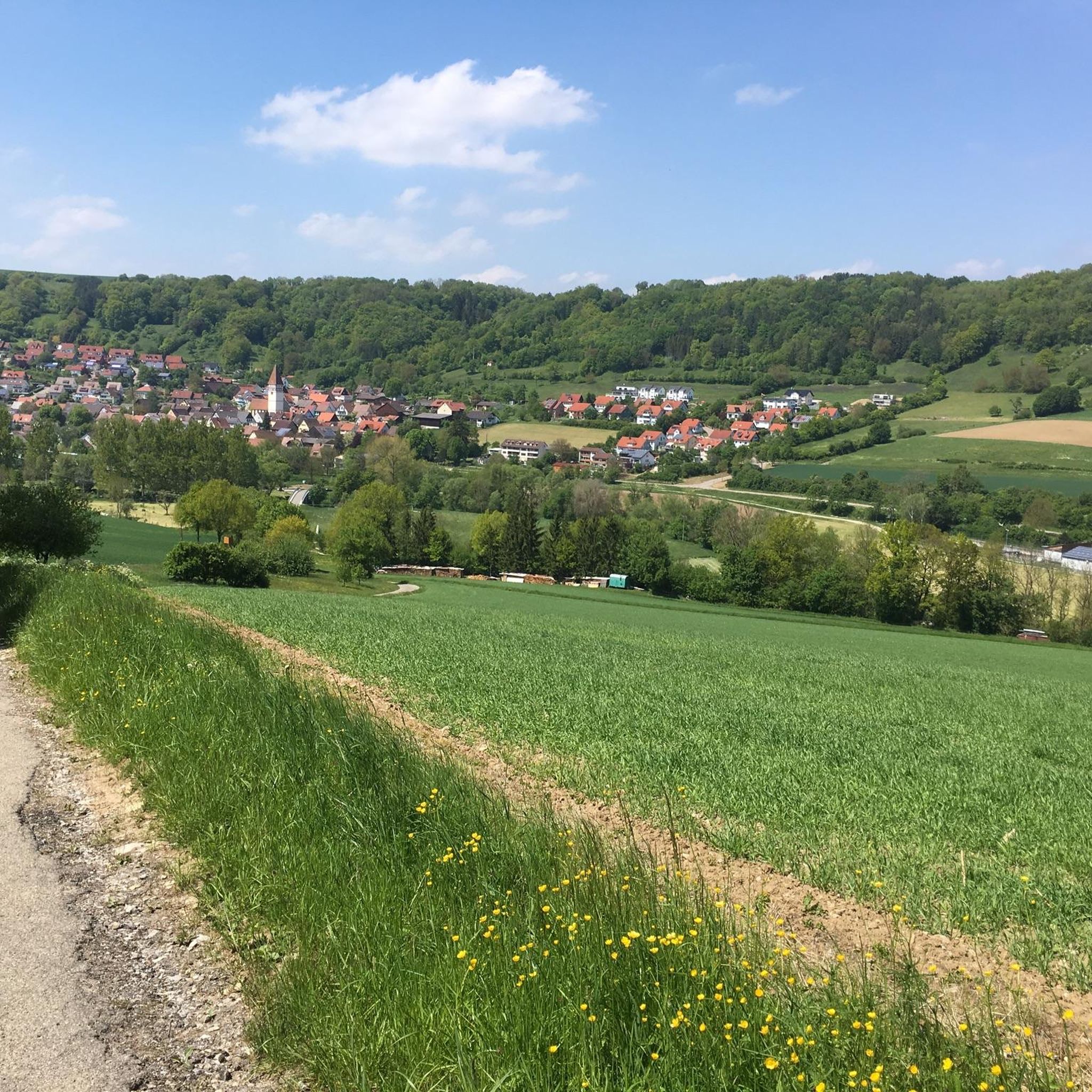
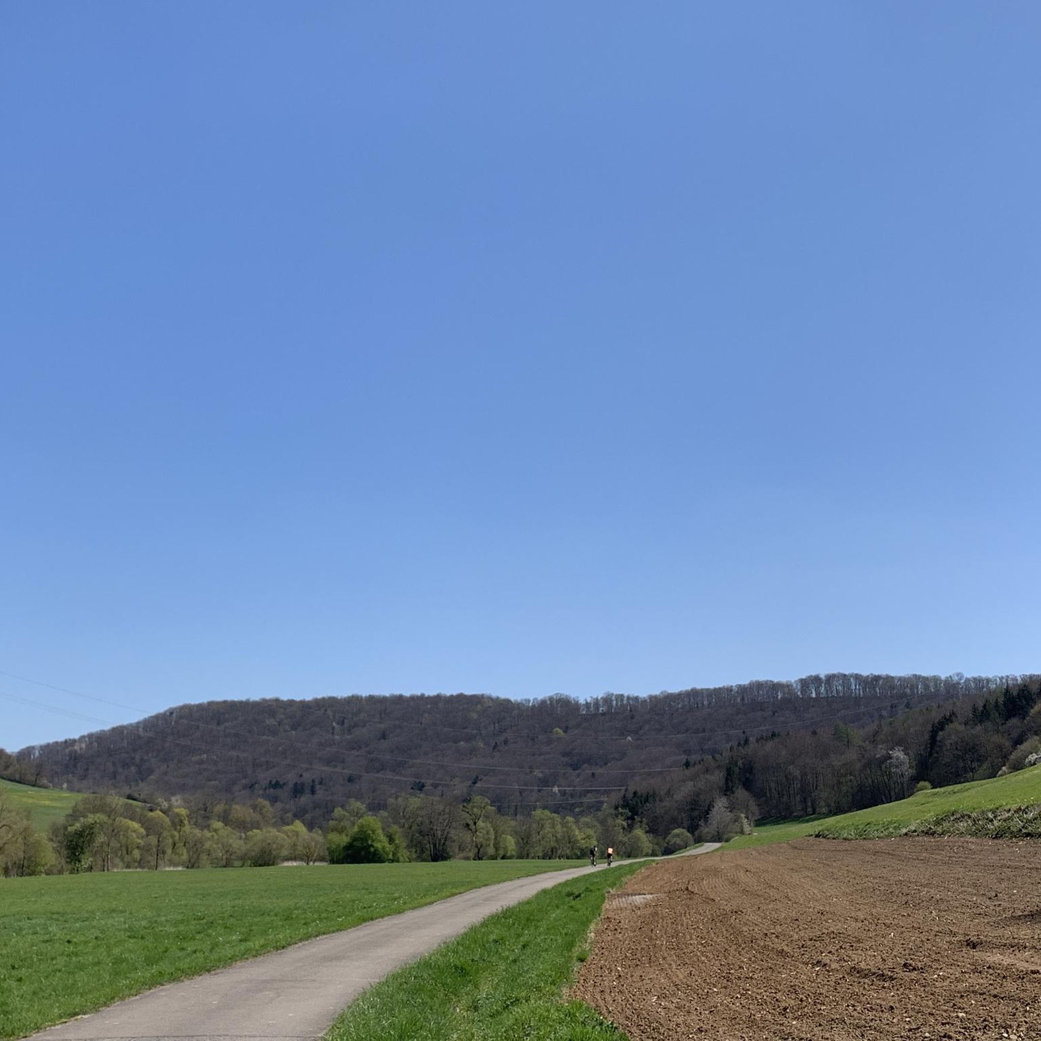
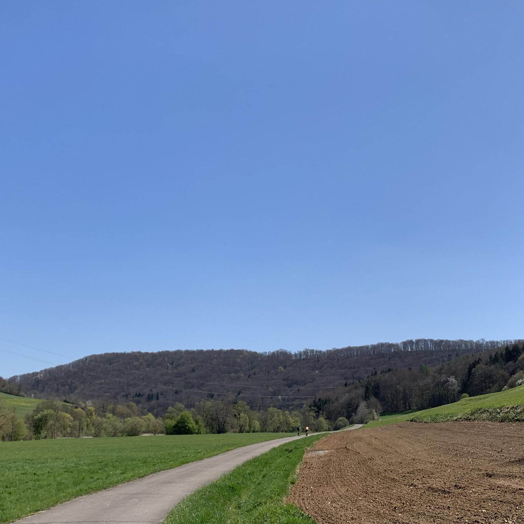
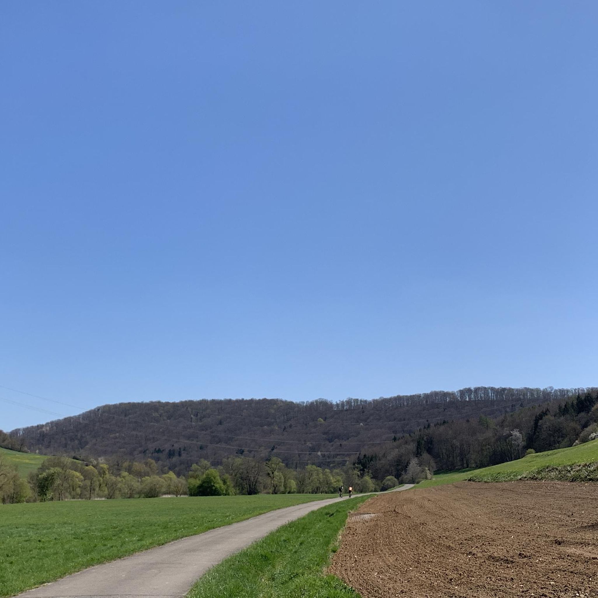
Hiking around Untermünkheim offers varied terrain characterized by rolling hills, picturesque valleys, and dense forests within the Hohenloher Land. The region features the Kocher river, with paths winding alongside it, and numerous streams. This diverse topography provides a natural backdrop for outdoor activities.
Best hiking trails around Untermünkheim
- The most popular hiking route is Kocher dam – View of the Kochertal Bridge loop from Untermünkheim, a 6.6 miles (10.6 km) moderate trail that takes 2 hours 53 minutes to…
Last updated: June 26, 2026
4.5
(6)
33
hikers
10.6km
02:53
150m
150m
Moderate hike. Good fitness required. Easily-accessible paths. Suitable for all skill levels.
5.0
(4)
42
hikers
Easy hike. Great for any fitness level. Easily-accessible paths. Suitable for all skill levels.

Sign up for free
4.8
(5)
33
hikers
19.1km
04:57
110m
110m
Moderate hike. Good fitness required. Easily-accessible paths. Suitable for all skill levels.
4.4
(8)
25
hikers
8.11km
02:19
180m
180m
Moderate hike. Good fitness required. Easily-accessible paths. Suitable for all skill levels.
5.0
(2)
28
hikers
Easy hike. Great for any fitness level. Easily-accessible paths. Suitable for all skill levels.
Get access to more routes and recommendations from other explorers.
Sign up for free
Already have an account?
Our route recommendations are based on thousands of hikes, rides, and runs completed by other people on komoot.
Start today with a free account
Your next adventure awaits.
Login or Signup

Tips from the Community


beautiful view through the trees
0
0

Beautiful old bridge in a great landscape
1
0

Historic wooden bridge over the Kocher.
1
0

rest area
0
0
mill
0
0
A short climb followed by a great rest area with a view.
0
0

From its source to its mouth in the Kocher near Geislingen, the Bühler covers a distance of around 50km and a height difference of 220 metres.
4
0
Frequently Asked Questions
How many hiking trails are available around Untermünkheim?
Untermünkheim offers a diverse network of over 35 hiking routes. These range from easy strolls along the Kocher river to more moderate climbs through rolling hills and dense woodlands, catering to various fitness levels.
What is the best time of year to go hiking in Untermünkheim?
The natural scenery in Untermünkheim is particularly captivating in spring, with vibrant blossoms, and in autumn, when the foliage displays golden hues. These seasons are ideal for hiking, offering pleasant temperatures and beautiful landscapes.
Are there any family-friendly hiking options in Untermünkheim?
Yes, Untermünkheim offers several easy trails suitable for families. The region is known for its varied terrain and well-maintained paths. For a gentle walk, consider the Rößler Museum Untermünkheim – Kocher Bridge in Enslingen loop from Untermünkheim, an easy 5.7 km path that follows the Kocher river and passes local landmarks.
Can I find circular hiking routes in Untermünkheim?
Many of the hiking routes around Untermünkheim are circular, allowing you to start and end at the same point. An example is the Kocher dam – View of the Kochertal Bridge loop from Untermünkheim, a moderate 10.6 km trail offering scenic views.
Are there any trails that feature water elements like streams or waterfalls?
Yes, the region is characterized by the Kocher river, with paths winding alongside it, and numerous enchanting streams, some with waterfalls. The 'Mühlentalweg' (Mill Valley Trail), mentioned in regional research, passes by historic mills and often follows watercourses, providing tranquil spots.
What kind of landmarks or points of interest can I see while hiking?
Hiking routes in Untermünkheim often incorporate cultural highlights and natural viewpoints. You can encounter castle ruins, such as the Geyersburg Castle Ruins, or enjoy breathtaking views from trails like the 'Panoramaweg' (Panorama Trail). The Großcomburg Monastery is also a notable nearby attraction.
What do other hikers enjoy most about hiking in Untermünkheim?
The area is highly rated by the komoot community, with an average score of 4.7 stars from over 80 reviews. Reviewers often praise the varied terrain, the picturesque Kocher river valley, and the well-maintained trails that cater to different ability levels.
Are there any longer, more challenging hikes available?
For those seeking a longer and moderately challenging experience, the ⭐️🐷 Old wooden bridge – Kochertal Valley loop from Untermünkheim is a great option. This 19.2 km trail leads through the Kochertal Valley and typically takes around 5 hours to complete.
Are there easy hiking trails for beginners?
Absolutely. Untermünkheim offers several easy routes perfect for beginners or those looking for a relaxed walk. The Kocher Bridge in Enslingen – Enselbach Stone Bridge loop from Untermünkheim is an easy 4.4 km trail with minimal elevation changes, ideal for a gentle introduction to the area's beauty.
Are there any hikes that offer good viewpoints?
Yes, the region's rolling hills provide numerous opportunities for scenic vistas. The 'Panoramaweg' (Panorama Trail), for instance, is specifically designed to lead along ridges, offering breathtaking views of the surrounding Hohenloher Land and its picturesque valleys.
Are there any trails that pass by historical sites?
Beyond natural beauty, many hiking routes in Untermünkheim incorporate cultural highlights. You can find trails that lead past historic mills, such as those along the 'Mühlentalweg', or encounter castle ruins like the Geyersburg Castle Ruins, adding a historical dimension to your hike.
Most popular routes around Untermünkheim
Most popular attractions around Untermünkheim

Get inspired with the komoot mobile app


Explore more
Browse the best Hikes in other regions.
