The best running trails around San Colombano Certenoli
4.3
(26)
2,191
runners
13
runs
Jogging around San Colombano Certenoli offers varied terrain across the Liguria region of Italy. The area features flat valley floors with cultivated areas and clean waters, alongside significant mountainous zones. Monte Ramaceto dominates the landscape, presenting a rocky amphitheater on its southern side and beech forests on its northern slopes. The municipality is situated within the Val Fontanabuona and borders the Val Cichero, providing diverse natural features for running.
Best jogging routes around San Colombano Certenoli
- The most popular jogging…
Last updated: June 29, 2026
5.0
(2)
37
runners
22.3km
03:23
1,000m
1,000m
Hard run. Very good fitness required. Sure-footedness, sturdy shoes and alpine experience required.
13
runners
10.9km
02:04
600m
600m
Hard run. Very good fitness required. Sure-footedness, sturdy shoes and alpine experience required.

Sign up for free
24
runners
26.9km
04:19
1,340m
1,340m
Hard run. Very good fitness required. Sure-footedness, sturdy shoes and alpine experience required.
9
runners
6.37km
00:54
280m
280m
Moderate run. Good fitness required. Mostly paved surfaces. Suitable for all skill levels.
8
runners
6.37km
00:55
290m
280m
Moderate run. Good fitness required. Mostly paved surfaces. Suitable for all skill levels.
Get access to more routes and recommendations from other explorers.
Sign up for free
Already have an account?
Our route recommendations are based on thousands of hikes, rides, and runs completed by other people on komoot.
Start today with a free account
Your next adventure awaits.
Login or Signup

Tips from the Community

I took Via Zuccarello wrong, but the paths stopped in the olive trees. Obliged to go back to Villa di Scoglio (again I leave the asphalted paths (red square), which stop in the woods for nothing, so with Komoot I went up 100m into the woods to reach the road, thanks Komoot. Next to Casereggio private road 🤷🏼♂️ 🤫 Then go back around the ring following the 3 red balls at the crossroads for Monte Ramecetto/Salita Monte Bello and the path to Costa di Soglio.
0
0

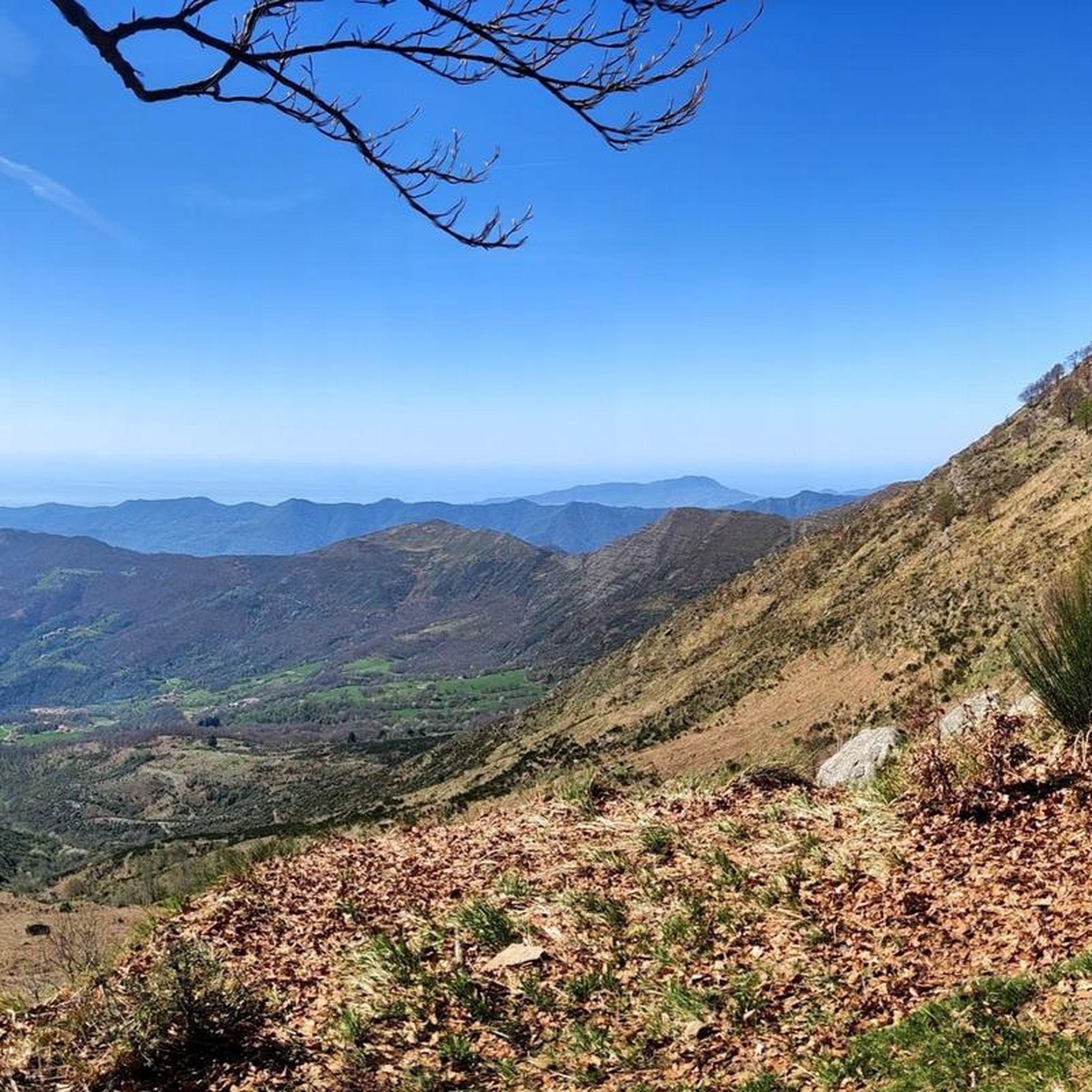
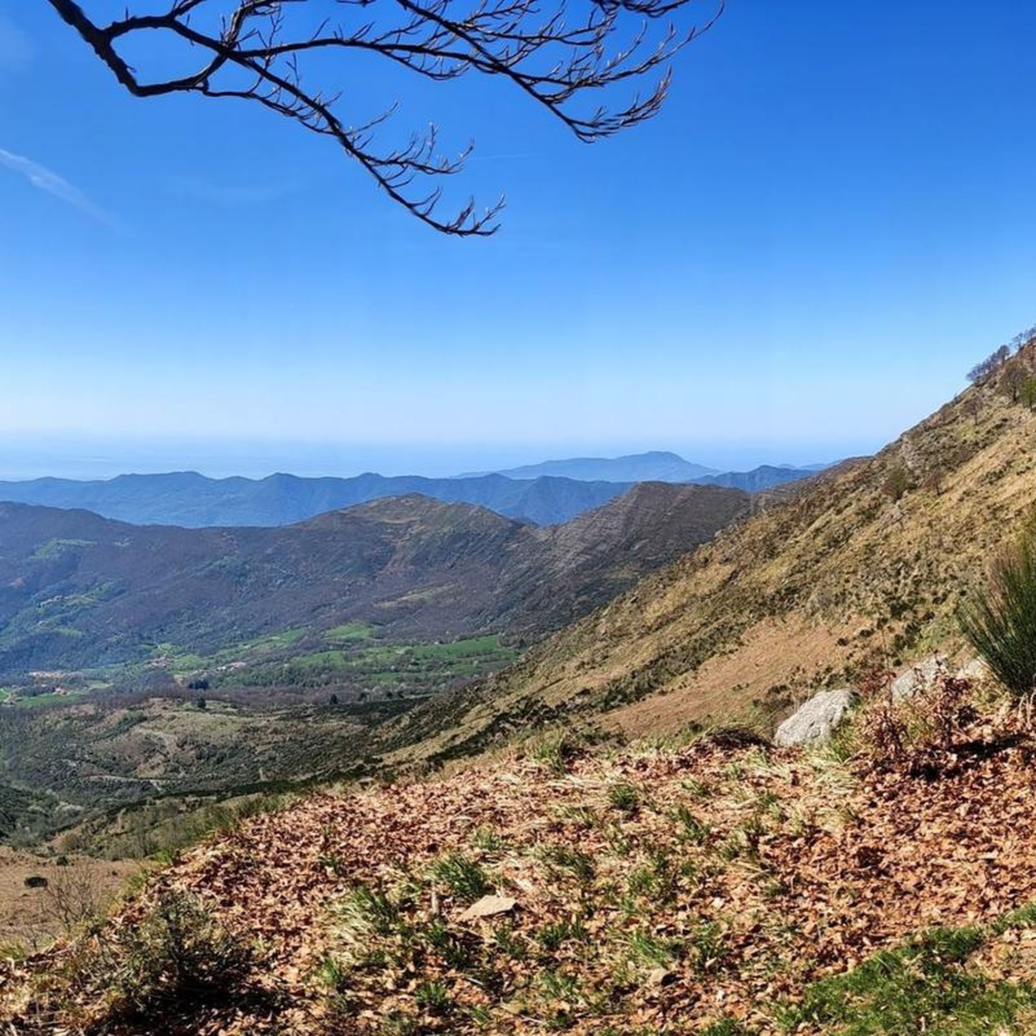
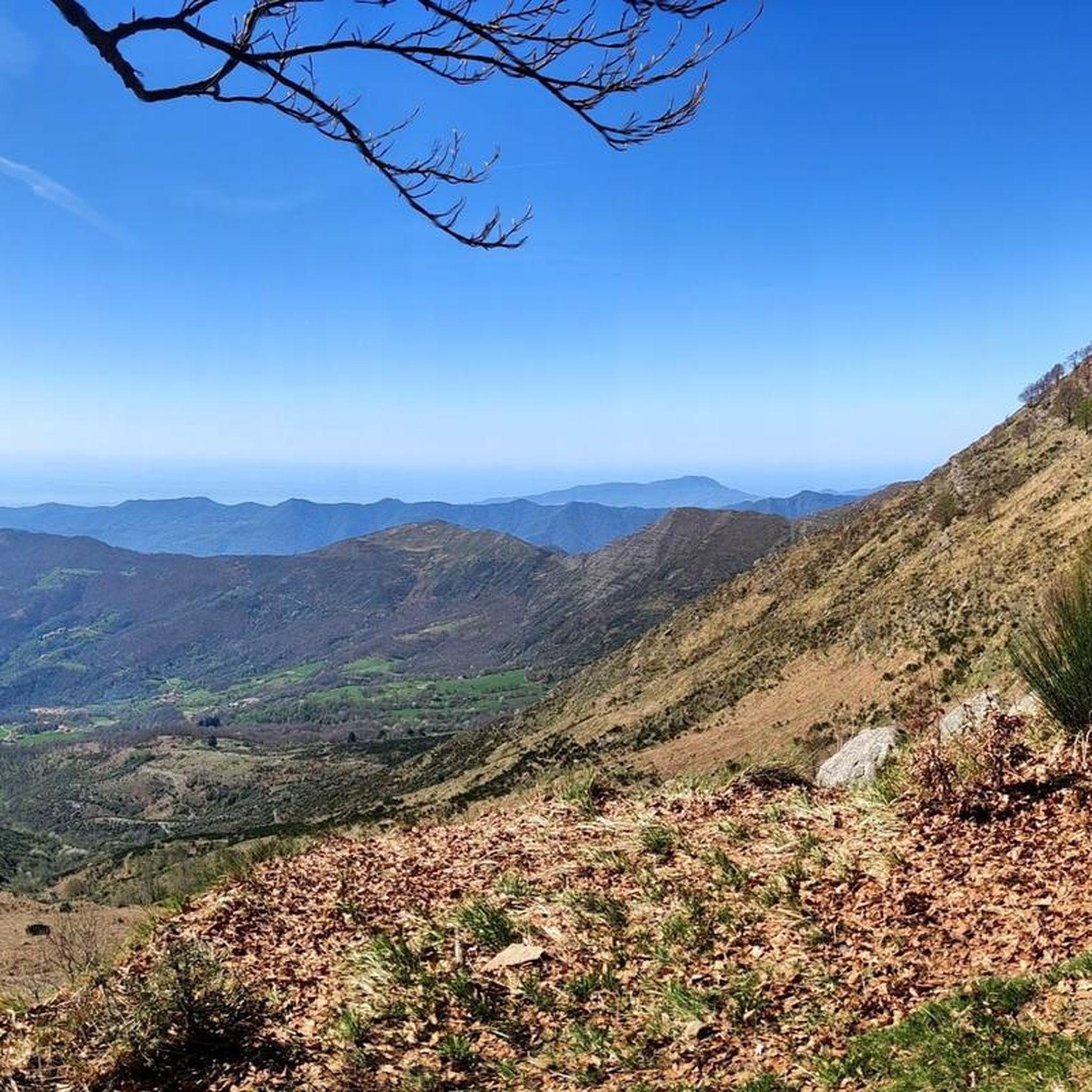
Going up from Croce di Orero, follow the signs for Ramaceto. At the top there is a small chapel and a breathtaking view
0
0
Trail of the Alta Via dei Monti Liguri that leads to the summit of Monte Ramaceto on the ridge. A real watershed from where you can admire the sea (from Sestri Levante to Portofino) on one side and the Val d'Aveto on the other
0
0
Splendid panorama at 1350 meters above sea level.
0
0
Frequently Asked Questions
What kind of terrain can I expect on running routes around San Colombano Certenoli?
The region offers a diverse landscape for runners. You'll find flat valley floors with cultivated areas and clean waters, alongside significant mountainous zones. Many routes, especially around Monte Ramaceto, feature mountain paths winding through ancient chestnut groves and beech forests, providing varied surfaces and elevation changes.
Are there many running trails available in San Colombano Certenoli?
Yes, San Colombano Certenoli boasts a well-established network of paths suitable for running. There are over 10 dedicated running routes listed, with many more excursions and treks that can be adapted for trail running. The komoot community has explored over 4000 routes in the area.
What are the difficulty levels of the jogging routes in this area?
The running routes around San Colombano Certenoli cater to various fitness levels. You'll find options ranging from moderate paths to challenging routes with substantial elevation changes. Out of the 14 listed routes, 4 are classified as moderate and 10 as difficult, offering something for experienced trail runners.
Can I find routes with scenic viewpoints or natural landmarks?
Absolutely. The area is rich in natural beauty. Many routes offer breathtaking panoramic views, particularly from Monte Ramaceto, which stretch from the Ligurian Sea to the distant Alps. You can also explore highlights like Bocco Pass or the Summit of Monte Caucaso, which are accessible from various trails.
Are there any circular running routes available?
Yes, several routes are designed as loops, allowing you to start and finish in the same location. For example, the challenging Ridge of Monte Ramaceto loop from San Colombano Certenoli takes you through beech forests, and the moderate Running loop from Bivio Vallefredda explores the valleys.
What do other runners enjoy about the trails in San Colombano Certenoli?
The running routes in San Colombano Certenoli are highly rated by the komoot community, with an average score of 4.4 stars from over 30 reviews. Runners often praise the varied terrain, the stunning panoramic views from Monte Ramaceto, and the peaceful atmosphere of the ancient chestnut and beech forests.
Are there any moderate running routes for those looking for a less strenuous run?
Yes, while many routes are difficult, there are moderate options available. For instance, the Running loop from Bivio Vallefredda is a moderate 4.0-mile (6.4 km) trail that can be completed in about 53 minutes, leading through scenic valleys. Another moderate option is the Running loop from Cian de Dria, covering 6.3 km.
What is the longest running route in the area?
For those seeking a longer challenge, the Ridge of Monte Ramaceto loop from Coreglia Ligure is a difficult 17.9-mile (28.8 km) route with significant elevation gain, offering an extensive trail running experience.
Are there any mountain huts or refuges near the running trails?
Yes, there are several mountain huts and refuges in the vicinity that can serve as points of interest or rest stops. Notable ones include Margherita Mountain Hut – Mount Pegge, Ventarola Refuge, and Rifugio Malga Zanoni.
What are the main natural features defining the running experience in San Colombano Certenoli?
The running experience in San Colombano Certenoli is largely defined by the picturesque Val Fontanabuona and Val Cichero, the imposing Monte Ramaceto with its rocky amphitheater and beech forests, and the ancient chestnut groves that line many of the trails. These features combine to create a varied and engaging environment for runners.
Is San Colombano Certenoli a good destination for trail running events?
Yes, the area is well-suited for trail running, even hosting organized events like the 'Trail del Ramaceto'. This highlights the region's appeal and suitability for more demanding trail experiences, thanks to its diverse terrain and extensive trail network.
Most popular routes around San Colombano Certenoli
Most popular attractions around San Colombano Certenoli

Get inspired with the komoot mobile app


Explore more
Browse the best Running Trails & Routes in other regions.
