The best running trails around Mignanego
4.3
(49)
1,890
runners
105
runs
Jogging around Mignanego offers diverse running routes through the Val Polcevera valley and near the Parco Naturale Regionale dell'Antola. The region features varied terrain, including dense forests, rolling hills, and sections of the Ligurian Apennines. Runners can find paths ranging from gentle ascents to more challenging routes with significant elevation changes. This area provides a mix of natural beauty and well-connected trail networks for outdoor activities.
Best jogging routes around Mignanego
- The most popular jogging route is From Busalla to…
Last updated: July 1, 2026
5.97km
00:42
90m
90m
This moderate 3.7-mile (6.0 km) ring run around Lago della Busalletta offers a diverse jogging experience with 283 feet (86 metres) of elevation gain, taking about 41 minutes to complete.…
28
runners
8.11km
00:51
80m
80m
Moderate run. Good fitness required. Mostly paved surfaces. Suitable for all skill levels.

Sign up for free
3.0
(1)
20
runners
10.1km
01:08
260m
260m
Moderate run. Good fitness required. Mostly paved surfaces. Suitable for all skill levels.
17
runners
11.1km
01:16
220m
220m
Moderate run. Good fitness required. Mostly paved surfaces. Suitable for all skill levels.
16
runners
11.6km
01:32
370m
370m
Hard run. Very good fitness required. Sure-footedness, sturdy shoes and alpine experience required.
Get access to more routes and recommendations from other explorers.
Sign up for free
Already have an account?
Our route recommendations are based on thousands of hikes, rides, and runs completed by other people on komoot.
Start today with a free account
Your next adventure awaits.
Login or Signup
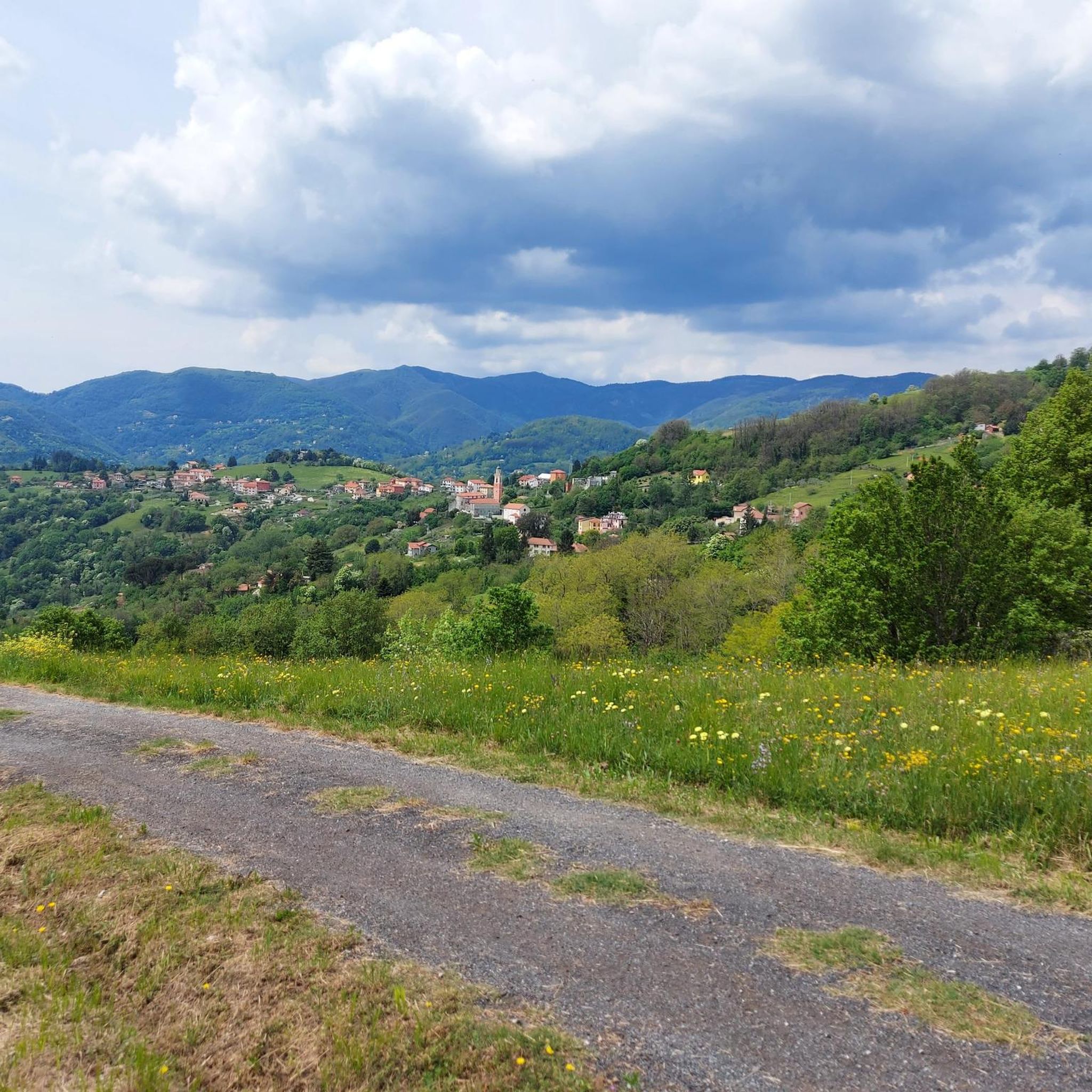
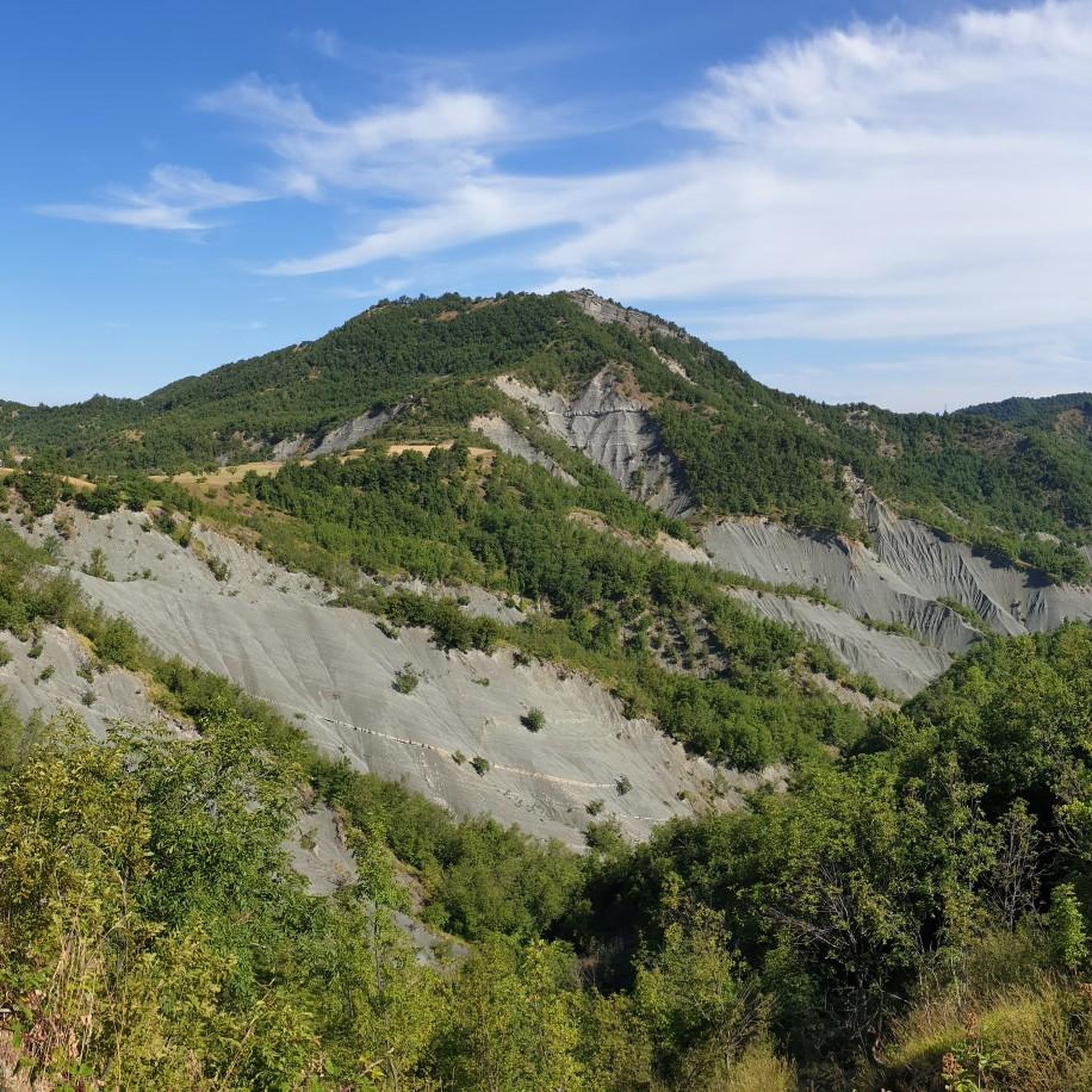
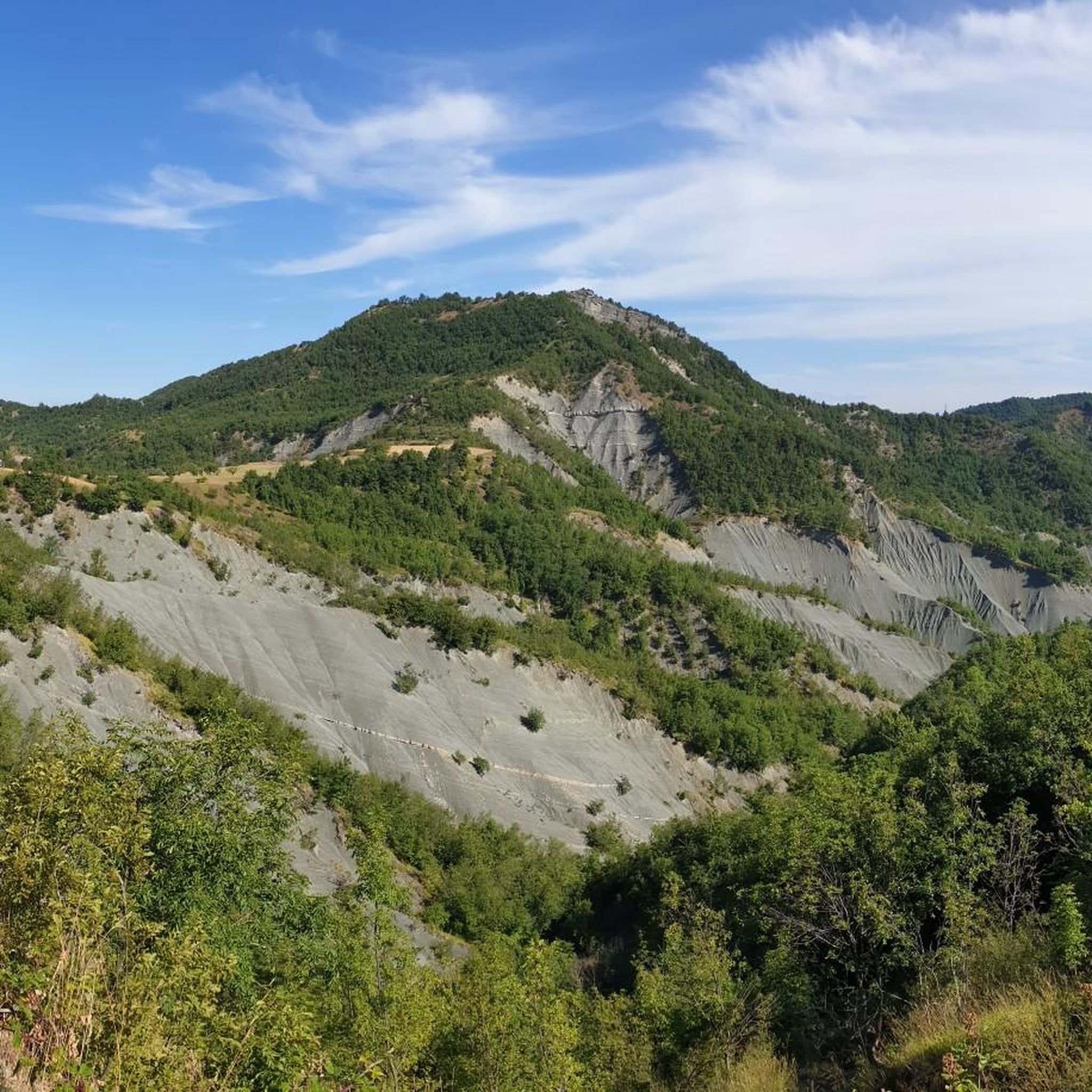
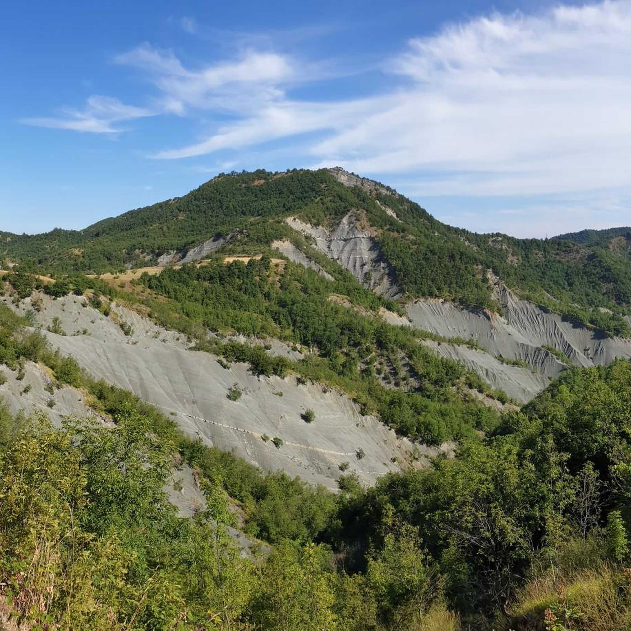
Tips from the Community


Busalla is the main center of the upper Scrivia valley. The town in fact develops on the left bank of the Scrivia river.
0
0
Lake Busalletta is an artificial basin with a surface area of 0.3 km² and is located at 441 m above sea level.
1
0
Busalla is the main center of the upper Scrivia valley. In fact, the town develops on the left bank of the Scrivia river.
1
0

very beautiful and panoramic stretch coinciding with the high Via dei Monti Liguri
1
0
Frequently Asked Questions
How many running routes are available in Mignanego?
Mignanego offers a wide selection of running routes, with over 80 trails available for you to explore. These routes cater to various preferences, from easy jogs to more challenging trail runs.
Are there running routes suitable for beginners or easy runs in Mignanego?
Yes, Mignanego has several options for those seeking an easier run. There are 5 routes specifically graded as easy, providing gentle ascents and descents through the scenic landscapes. These are perfect for a leisurely jog or for runners just starting out.
What kind of terrain can I expect on running trails around Mignanego?
The running trails around Mignanego offer diverse terrain, reflecting its location in the Val Polcevera valley and near the Ligurian Apennines. You'll encounter dense forests, rolling hills, and sections with more significant elevation changes. Many paths feature varied surfaces, including shaded forest trails and open ridges, providing a mix of experiences for runners.
Are there any circular running routes in the Mignanego area?
Yes, many of the running routes in Mignanego are designed as loops, allowing you to start and finish in the same location. For example, the popular From Busalla to Lago della Busalletta – ring run offers a scenic loop around the lake, and the Running loop from Busalla is another excellent circular option.
Can I bring my dog on the running trails in Mignanego?
While many trails in the Mignanego area, especially within the Parco Naturale Regionale dell'Antola, are generally dog-friendly, it's always advisable to keep your dog on a leash, particularly in protected areas or where wildlife is present. Always check specific trail regulations before heading out.
What are some scenic viewpoints or attractions I can see while running near Mignanego?
The Mignanego area is rich in natural beauty and historical sites. You can incorporate runs that pass by landmarks like the historic Castello della Pietra overlooking the Vobbia gorge. For breathtaking panoramas, consider routes near Passo della Bocchetta (772 m), which offers stunning views. The region also features natural highlights such as Lago Bruno.
How long are the running trails typically in Mignanego?
The running trails in Mignanego vary significantly in length. You can find shorter routes, such as the From Busalla to Lago della Busalletta – ring run at about 6 km, perfect for a quick jog. There are also longer, more challenging trails like the Busalla Bridge loop from Busalla, which extends to nearly 16 km, catering to endurance runners.
Is there public transport access to trailheads in Mignanego?
Mignanego and nearby towns like Busalla are reasonably well-connected. Busalla, in particular, has a train station, which can serve as a convenient starting point for several running routes, including the Busalla Bridge – Busalla Bridge loop from Busalla. It's recommended to check local bus and train schedules for specific trailhead access.
Where can I find parking for running routes in Mignanego?
Parking availability varies by trailhead. For routes starting in or near Busalla, you can often find public parking in the town center. For trails deeper into the natural park, designated parking areas may be available at key access points or passes like Passo della Bocchetta. Always look for official parking signs and respect local regulations.
What do other runners say about the trails in Mignanego?
The running routes in Mignanego are highly regarded by the komoot community, boasting an average rating of 4.1 stars from over 20 reviews. Runners frequently praise the diverse landscapes, the well-connected trail networks, and the opportunity to experience both dense forests and panoramic mountain ridges.
What is the best time of year to go running in Mignanego?
The Mignanego region offers good running conditions for much of the year. Spring and autumn provide pleasant temperatures and vibrant scenery. During warmer summer months, the shaded forest paths, particularly the beech woods within the Antola Park, offer a cooler environment. Winter running is possible, but be mindful of potential snow and ice at higher elevations, especially on routes along the Alta Via dei Monti Liguri.
Are there challenging trail running options for experienced runners?
Absolutely. Mignanego, being part of the Ligurian Apennines, offers numerous challenging routes with significant elevation gains and varied technical terrain. Over 50 routes are graded as difficult, providing rigorous trail running experiences. These often include sections of the Alta Via dei Monti Liguri, known for its long-distance trekking and stunning mountain scenery.
Are there any running routes that pass by water features like lakes or rivers?
Yes, some running routes in the Mignanego area incorporate beautiful water features. The From Busalla to Lago della Busalletta – ring run, for instance, circles the picturesque Lago della Busalletta. Additionally, the valleys of the Antola Park are home to fresh rivers like the Scrivia and Trebbia, and while not always directly on a running path, their presence contributes to the serene natural environment you'll experience.
Most popular attractions around Mignanego

Get inspired with the komoot mobile app


Explore more
Browse the best Running Trails & Routes in other regions.
