The best road cycling routes around Serra Riccò
4.2
(610)
10,914
riders
10
rides
Road cycling around Serra Riccò offers diverse hilly and mountainous terrain in the Val Polcevera, just north of Genoa. The region is characterized by its position within the Ligurian Apennine foothills, providing significant elevation gains and panoramic views. Cyclists can expect well-paved surfaces across a landscape featuring prominent hills such as Monte Pizzo and Monte Carmo. This varied topography ensures engaging climbs and descents for road cyclists.
Best road cycling routes around Serra Riccò
- The most popular road cycling route…
Last updated: October 11, 2026
4.0
(11)
191
riders
63.9km
03:26
1,110m
1,110m
Hard road ride. Very good fitness required. Mostly well-paved surfaces and easy to ride.
2.8
(5)
88
riders
73.1km
03:16
590m
590m
Moderate road ride. Good fitness required. Mostly well-paved surfaces and easy to ride.

4.2
(6)
84
riders
63.9km
03:42
1,460m
1,460m
Hard road ride. Very good fitness required. Mostly well-paved surfaces and easy to ride.
5.0
(2)
67
riders
Moderate road ride. Good fitness required. Mostly well-paved surfaces and easy to ride.
4.7
(3)
106
riders
Moderate road ride. Good fitness required. Mostly well-paved surfaces and easy to ride.
Get access to more routes and recommendations from other explorers.
Already have an account?
Our route recommendations are based on thousands of hikes, rides, and runs completed by other people on komoot.


Tips from the Community

The Oratorio di Sant'Erasmo in Quinto al Mare is a charming Catholic place of worship perched directly on the cliffs of the Genoese coast
0
0

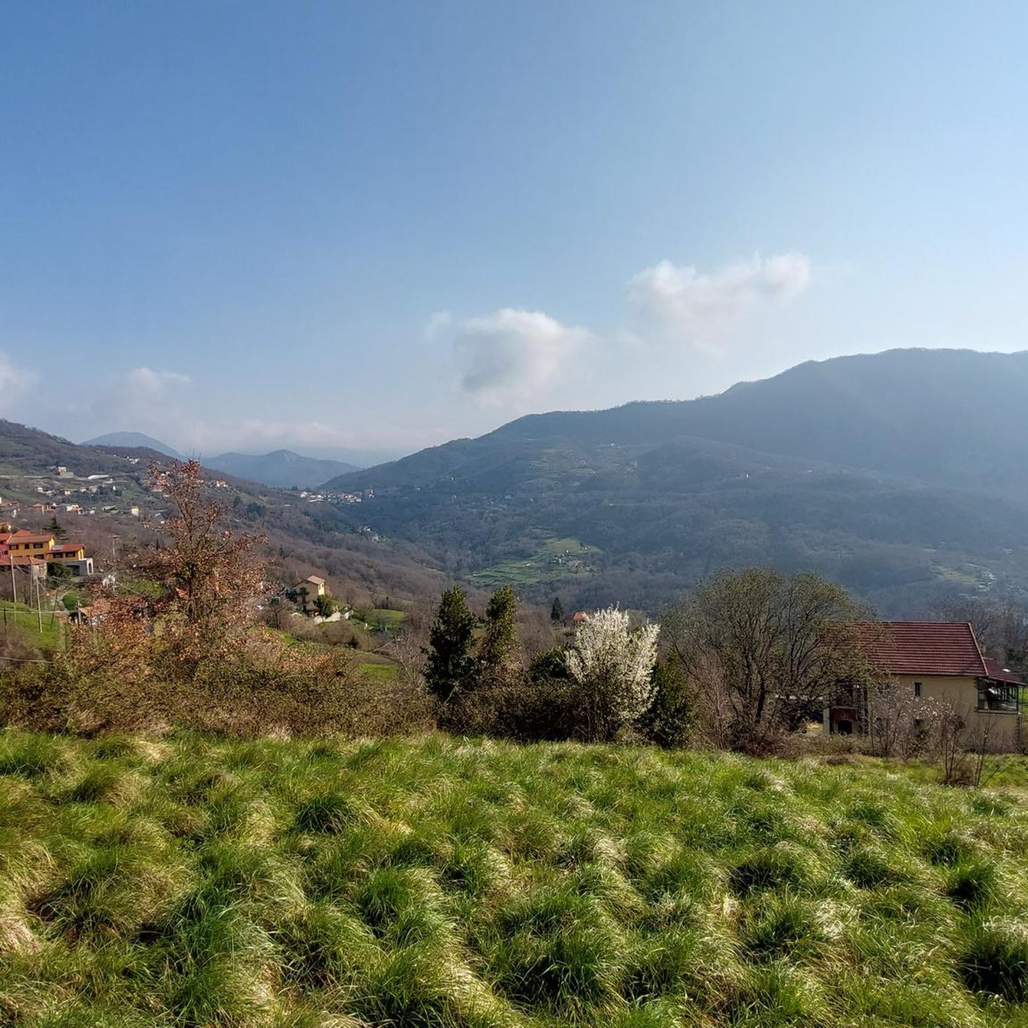
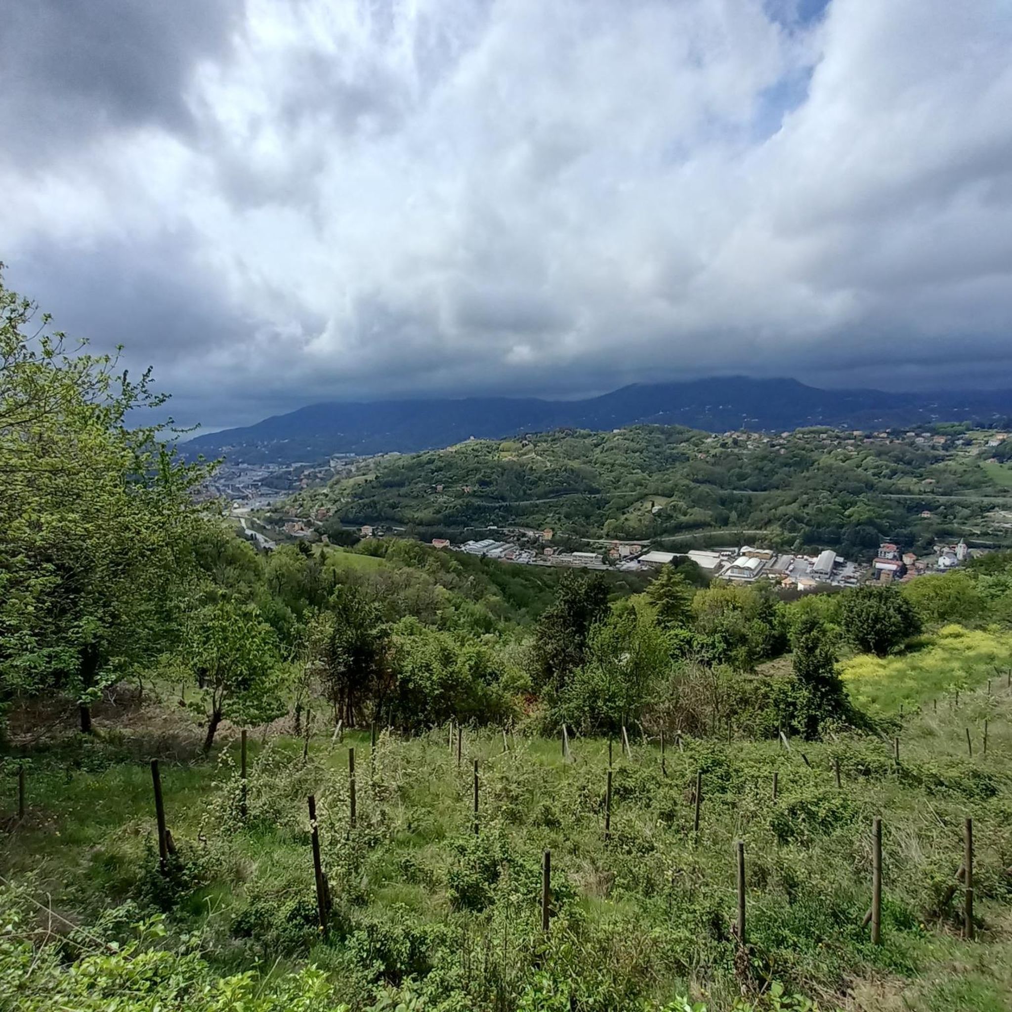
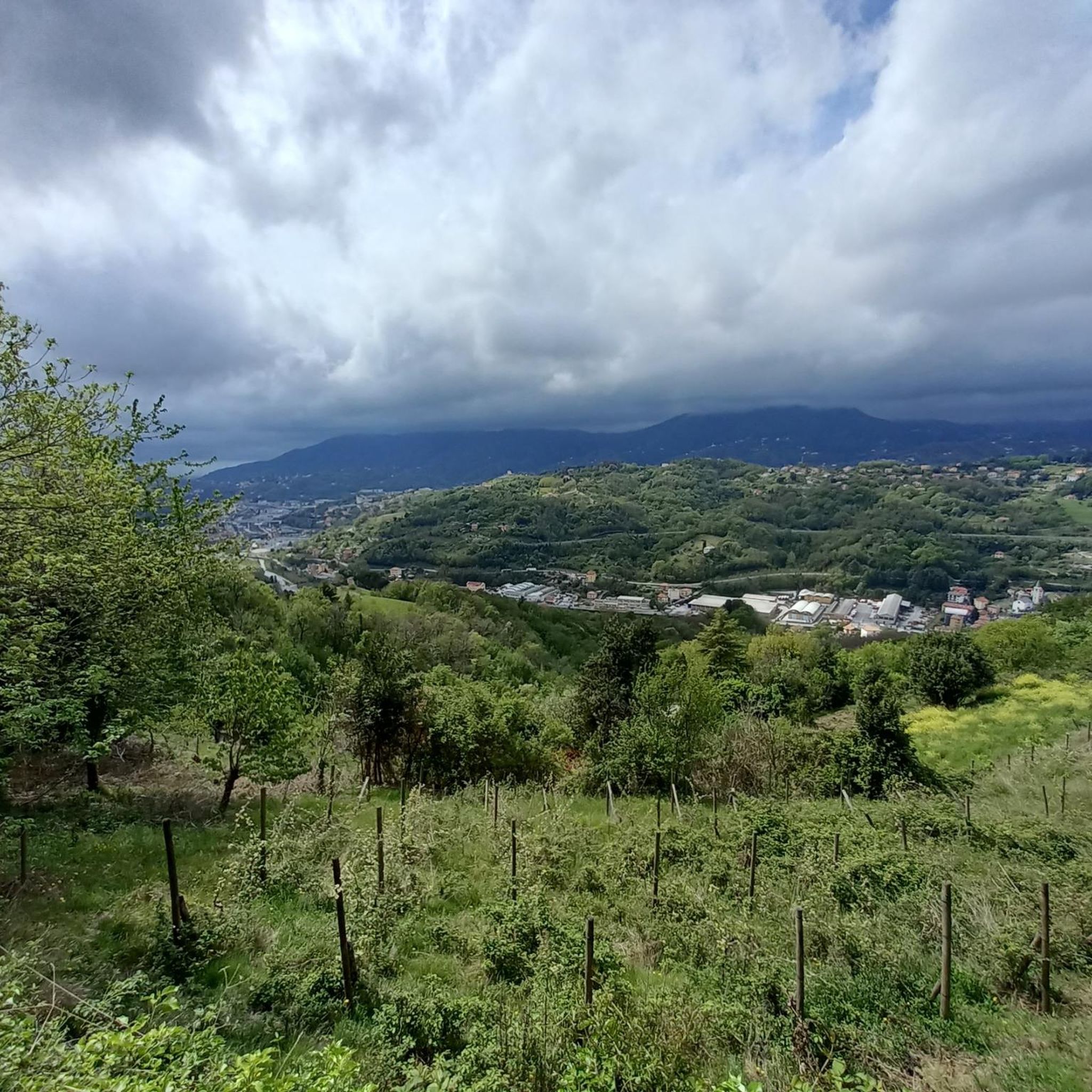
open view of the valley climbing the road towards Sant'Olcese
0
0

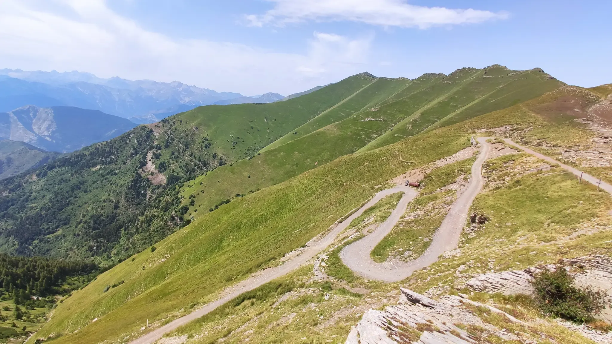
It is located along the Appennino bike tour route and, coming up from Voltaggio, it is an easy and very rewarding climb, both for the views and for the absence of traffic.
3
0
From the main route of the Appennino bike tour, it is advisable to enter the center of Voltaggio and visit both the town and the Romanesque bridge.
2
0

Fishing village at the beginning, or at the end, of Corso Italia
0
0

What goes up must come down.
0
0

A little paradise in the middle of the big city 🌊☀️ – Boccadasse lies on the eastern outskirts of Genoa and feels like another world. Between pastel-colored houses 🏘️, small boats 🚤, and narrow cobblestone streets, the scent of the sea and fresh focaccia 🥖🐟 wafts. The tiny pebble beach is a meeting place for locals and visitors alike – here, people sit on the wall with gelato 🍦, chat, swim, or simply enjoy the view of the Mediterranean 💙. It becomes particularly atmospheric in the evening, when the sun bathes the houses in warm light 🌅. Around the small piazza and the harbor, cozy restaurants and trattorias invite you to linger 🍝🍷. Despite its popularity, Boccadasse has retained its authentic charm—a place where time seems to have stood still. Tip: It's best reached on foot along the Genoa coast or by bus—especially beautiful at sunset.
1
0

Wonderful with enchanting views. It starts from Arenzano, where you can also rent bicycles of all kinds, and ends in Varazze.
0
0
Frequently Asked Questions
What kind of terrain can I expect on road cycling routes around Serra Riccò?
The region around Serra Riccò is characterized by diverse hilly and mountainous terrain within the Val Polcevera. Cyclists can expect significant elevation gains, with routes featuring prominent hills like Monte Pizzo and Monte Carmo, ensuring engaging climbs and descents on well-paved surfaces.
How many road cycling routes are available in Serra Riccò?
There are over 10 road cycling routes around Serra Riccò, offering a variety of experiences. The komoot community has explored 13 distinct routes in the area.
Are there any easy or beginner-friendly road cycling routes in Serra Riccò?
While there are no routes specifically classified as 'easy' for road cycling in Serra Riccò, there are 8 moderate routes available. These still offer varied terrain and climbs but are less demanding than the difficult options.
What are some challenging road cycling routes in the area?
For experienced cyclists seeking a challenge, Serra Riccò offers 5 difficult routes. A notable option is the Passo Dei Giovi – Passo dei Giovi loop from Serra Riccò, which covers 39.7 miles (63.9 km) with over 3,600 feet (1,100 m) of ascent. Another demanding route is the Passo Dei Giovi – Passo dei Giovi from Busalla loop from Piano Orizzontale dei Giovi, spanning over 100 km with more than 1,700 meters of climbing.
What natural features or landmarks can I see along the road cycling routes?
The routes offer panoramic views of the Ligurian landscape. You might encounter natural features such as Monte Pizzo, Monte Carmo, and Monte Capanna. For specific points of interest, consider exploring highlights like Forte Diamante, a historic fort offering stunning views, or the Sanctuary of Our Lady of the Guard.
Are there any lakes or waterfalls accessible from the cycling routes?
While not directly on every road cycling route, the region around Serra Riccò features several beautiful lakes and even a waterfall. You can find highlights such as Manzù Lake Waterfall, Lago Bruno, and Lake Val Noci in the broader area.
What do other road cyclists enjoy most about cycling in Serra Riccò?
The area is highly rated by the komoot community, with an average score of 4.5 stars from over 260 reviews. Cyclists often praise the challenging climbs, the diverse hilly terrain, and the panoramic views offered by the routes.
Are there any circular road cycling routes in Serra Riccò?
Yes, many of the road cycling routes around Serra Riccò are designed as loops. Examples include the challenging Passo Dei Giovi – Passo dei Giovi loop from Serra Riccò and the moderate Voltri Beach loop from Piano Orizzontale dei Giovi.
What is the best time of year to go road cycling in Serra Riccò?
The Ligurian region, where Serra Riccò is located, generally enjoys a mild climate. Spring and autumn are often ideal for road cycling, offering pleasant temperatures and less extreme weather conditions than summer or winter. However, the diverse terrain means conditions can vary with elevation.
Is public transport available to reach the road cycling routes?
Serra Riccò is situated just north of Genoa, which is a major transport hub. While specific public transport options directly to every trailhead may vary, accessing the general area by train or bus to nearby towns and then cycling from there is often feasible. It's advisable to check local transport schedules for the most current information.
Are there places to park for road cyclists in Serra Riccò?
Given its proximity to Genoa and its role as an outdoor activity hub, parking facilities are generally available in and around Serra Riccò, particularly in larger villages or near popular starting points for routes. Specific parking availability can vary by location, so checking maps or local information for your chosen starting point is recommended.
Can I find cafes or accommodation along the road cycling routes?
The area around Serra Riccò, being a popular destination, offers various amenities. You can typically find cafes, restaurants, and accommodation options in the towns and villages along or near the cycling routes, especially in Serra Riccò itself and surrounding communities.
Most popular routes around Serra Riccò
Most popular attractions around Serra Riccò

Get inspired with the komoot mobile app


Explore more
Browse the best Road cycling routes in other regions.
