The best cycling routes around Unterengstringen
4.4
(2847)
30,380
riders
524
rides
Touring cycling routes around Unterengstringen are set within the scenic Limmat Valley in the canton of Zurich, Switzerland. The area is characterized by the Limmat River, which offers mostly flat, easy paths along its banks, and the elevated Altberg ridge and Gubrist, providing more varied terrain and significant elevation changes. Surrounding forests, including those on the Altberg and Gubrist, contribute to the diverse landscape, making it suitable for various cycling preferences.
Best touring cycling routes around Unterengstringen
- The most popular…
Last updated: October 7, 2026
4.6
(25)
526
riders
19.2km
01:14
60m
60m
Easy bike ride. Great for any fitness level. Mostly paved surfaces. Suitable for all skill levels.
4.4
(16)
105
riders
48.8km
02:53
220m
220m
Moderate bike ride. Good fitness required. Mostly paved surfaces. Suitable for all skill levels.

4.4
(21)
207
riders
27.6km
01:41
150m
150m
Moderate bike ride. Good fitness required. Mostly paved surfaces. Suitable for all skill levels.
4.3
(22)
140
riders
37.0km
02:18
340m
340m
Moderate bike ride. Good fitness required. Mostly paved surfaces. Suitable for all skill levels.
4.4
(24)
155
riders
26.3km
01:36
150m
150m
Moderate bike ride. Good fitness required. Mostly paved surfaces. Suitable for all skill levels.
Get access to more routes and recommendations from other explorers.
Already have an account?
Our route recommendations are based on thousands of hikes, rides, and runs completed by other people on komoot.
Start today with a free account
Your next adventure awaits.
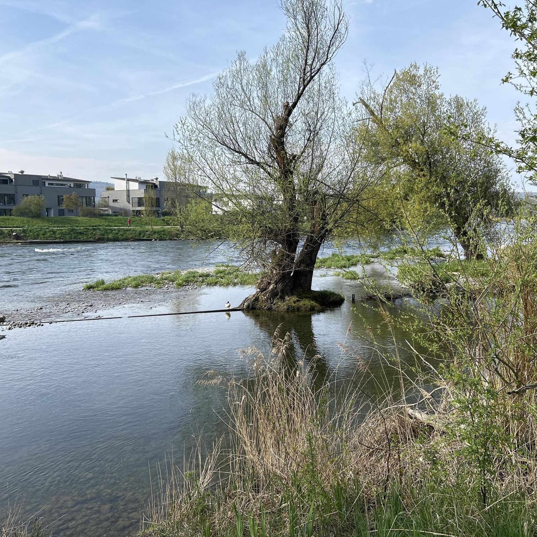
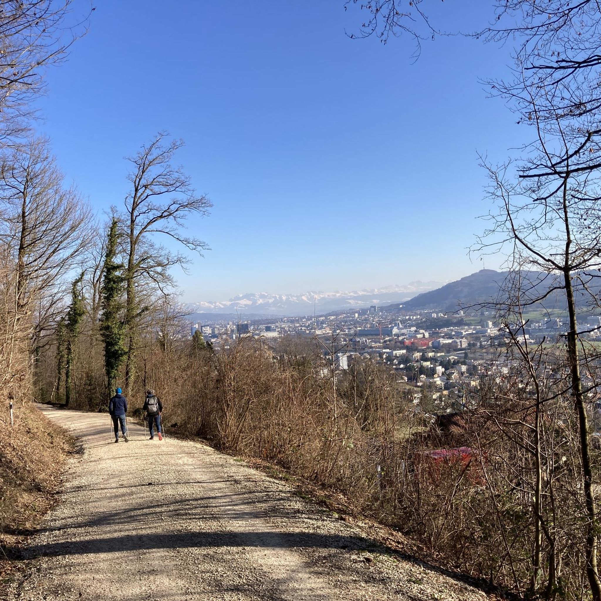
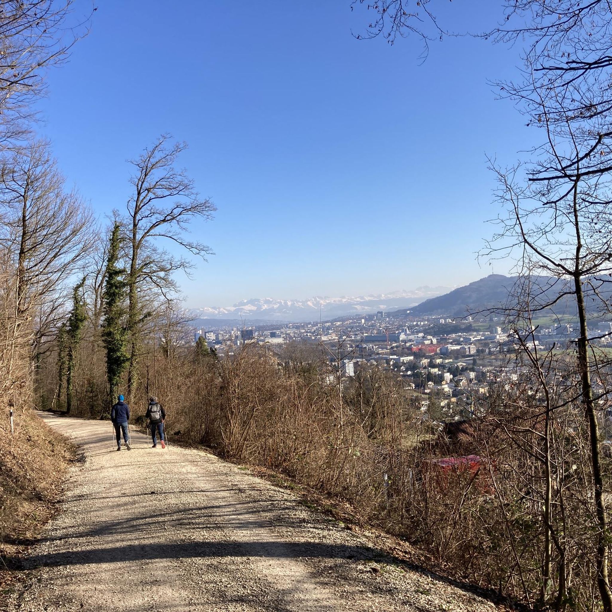
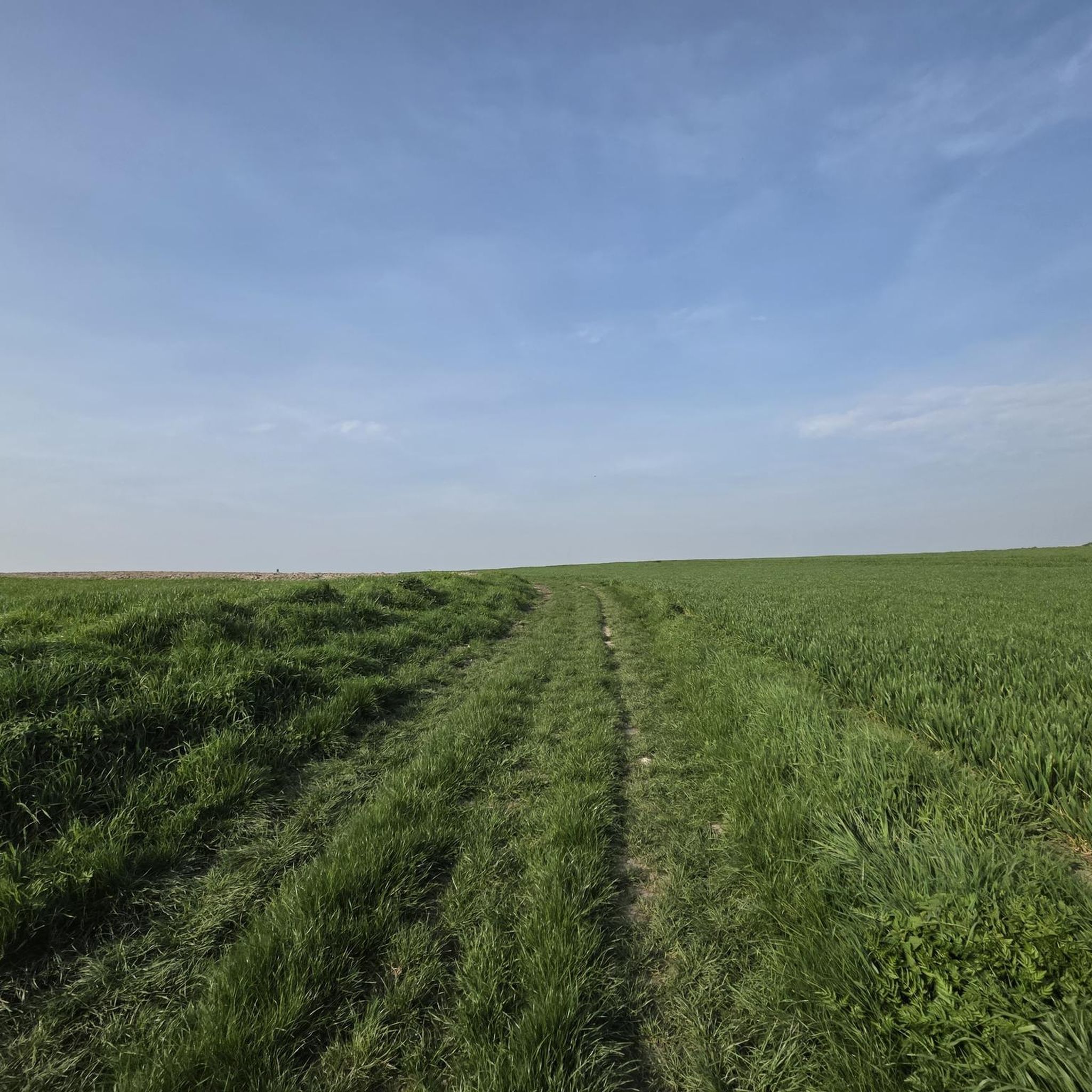
Tips from the Community

Ideal for a Sunday outing, on foot or by bike. Right next to the tower, the café "backparadies.ch" can be recommended (it's open on Sundays). Very close to the tower, there is a large fountain to refill the (bike) water bottles ;).
1
0

Beautiful art on the concrete wall. And always new motifs.
0
0

Imposing
1
0

The bicycle tunnel under Zurich Central Station, also known as the city tunnel, connects Kasernenstrasse with Sihlquai.
0
0
These are the Dättwiller Weiher. These two ponds are located next to the road between Baden and Dättwil.
0
0

Very nice and car-free bike path. Watch out for joggers and dog walkers.
0
0

There are always new great pictures
0
0

Huldrych (Ulrich) Zwingli (1484-1531) was Zürich's first reformer. His theology gave rise to the Reformed Church (= National Protestant Church). Both Zürich's government and Zwingli were against the practice of mercenary soldiers, which is why Zwingli was chosen to be minister of the Grossmünster Church, the main church in the city of Zürich. This brilliant orator persuaded Zürich's council and population to accept his ideas (acceptable is only what is written in the Bible) and published the first Reformation writings in 1522, inciting the wrath of the bishop and the Pope. Nonetheless, the deed was done and the Reformation spread from Zürich across the entire German-speaking area of Switzerland. The Zwingli Monument was created by Austrian sculptor Heinrich Natter and officially unveiled in 1885.
1
0
Frequently Asked Questions
What is the general terrain like for touring cycling in Unterengstringen?
Touring cycling in Unterengstringen is characterized by a diverse landscape. The primary feature is the Limmat River, offering mostly flat and easy-going riverside paths through picturesque meadows and floodplains. For those seeking more challenge, the surrounding elevated regions like the Altberg ridge and Uetliberg provide varied terrain with opportunities for climbs and panoramic views.
How many touring cycling routes are available in Unterengstringen?
There are over 570 touring cycling routes around Unterengstringen listed on komoot, catering to various preferences and skill levels. This includes 129 easy routes, 265 moderate routes, and 180 difficult routes.
Are there family-friendly touring cycling routes in the area?
Yes, the Limmat Valley offers many family-friendly options. Routes along the Limmat River are often multi-use paths, which are generally flat and easy, making them suitable for families. An example of an easy route is the Ampère Footbridge – Ferry at Fahr Monastery loop from Glanzenberg, which follows the river and passes a historic monastery.
What natural features can I expect to see while cycling?
You'll primarily encounter the scenic Limmat River, with paths winding through protected riverside meadows and floodplains, home to diverse plant species and birds. The routes also feature lush green spaces, orchards, and views of surrounding forests, particularly on the Altberg and Gubrist.
Are there any historical or cultural landmarks along the touring cycling routes?
Yes, a notable historical landmark is Kloster Fahr, a Benedictine nunnery with a history dating back to the 12th century, offering a peaceful stop. You can also find historic buildings and bridges along the Limmat River paths.
What do other touring cyclists enjoy most about cycling in Unterengstringen?
The area is highly rated by the komoot community, with an average score of 4.5 stars from over 2,300 reviews. Cyclists often praise the varied terrain, from flat riverside paths to more undulating sections, and the scenic beauty of the Limmat Valley.
Are there any challenging routes with significant elevation gain?
While many routes along the Limmat are flat, the surrounding areas, including the Altberg ridge and Uetliberg, offer more varied terrain with opportunities for climbs. For a moderate challenge, consider the Upper Letten River Pool – Limmat River loop from Schlieren, which covers 49.4 km with over 220 meters of elevation gain.
Can I find circular touring cycling routes in Unterengstringen?
Yes, many routes are designed as loops, allowing you to start and end at the same point. Examples include the At the Viaduct – Unterer Letten river pool loop from Weiningen and the Limmat River – View of the Limmat River loop from Schlieren.
What kind of viewpoints can I discover along the routes?
The elevated regions like the Altberg and Uetliberg offer panoramic views. Specific highlights include the Uetliberg Summit Viewpoint, the Uetliberg Observation Tower, and the Altberg Observation Tower, providing stunning vistas of the surrounding landscape.
Are there places to eat or rest along the cycling paths?
Yes, you can find options for refreshments. For instance, Kloster Fahr has a farm shop with regional products, and the Altberg Forest Inn is a highlight in the area. The proximity to Zurich also means easy access to various cafes and restaurants.
How accessible are the touring cycling routes by public transport?
Unterengstringen's location within the Limmat Valley, close to Zurich, means many routes are well-connected to public transport. You can often access starting points for routes via local trains or buses, making it convenient to explore without a car.
Can I bring my dog on the touring cycling routes?
Many of the multi-use paths along the Limmat River and through natural areas are generally dog-friendly, provided your dog is well-behaved and kept on a leash where required. Always be mindful of other path users and local regulations.
Most popular routes around Unterengstringen
Most popular attractions around Unterengstringen

Get inspired with the komoot mobile app


Explore more
Browse the best Cycling routes in other regions.
