The best walks and hikes around San Lazzaro Di Savena
4.3
(687)
2,401
hikers
98
hikes
Hiking around San Lazzaro Di Savena offers diverse landscapes characterized by unique geological formations. The region features extensive gypsum outcrops, dramatic badlands known as "calanchi," and rolling hills within the Parco Regionale dei Gessi Bolognesi e Calanchi dell'Abbadessa. This area, recognized as a UNESCO World Heritage Site, presents a fascinating karst complex with dolines, plateaus, and rocky cliffs. Trails traverse valleys like the Zena Valley and the Pliocene Ridge Nature Reserve, providing varied terrain for outdoor exploration.
Best hiking trails…
Last updated: October 10, 2026
4.3
(46)
99
hikers
16.5km
04:52
450m
450m
Embark on the Gessi Bolognesi Park Loop via CAI 817 and 802 for a moderate hike through a landscape unlike any other. This route covers 10.3 miles (16.5 km) and…
5.0
(1)
1
hikers
7.10km
02:28
280m
280m
Hike the moderate 4.4-mile Gessi Bolognesi caves trail (via Route 804) to explore unique gypsum formations and the Budriolo Sinkhole.

4.7
(49)
118
hikers
4.17km
01:14
110m
110m
Moderate hike. Great for any fitness level. Mostly accessible paths. Sure-footedness required.
4.2
(43)
129
hikers
Moderate hike. Good fitness required. Easily-accessible paths. Suitable for all skill levels.
4.4
(45)
112
hikers
Moderate hike. Good fitness required. Mostly accessible paths. Sure-footedness required.
Get access to more routes and recommendations from other explorers.
Already have an account?
Our route recommendations are based on thousands of hikes, rides, and runs completed by other people on komoot.
Start today with a free account
Your next adventure awaits.
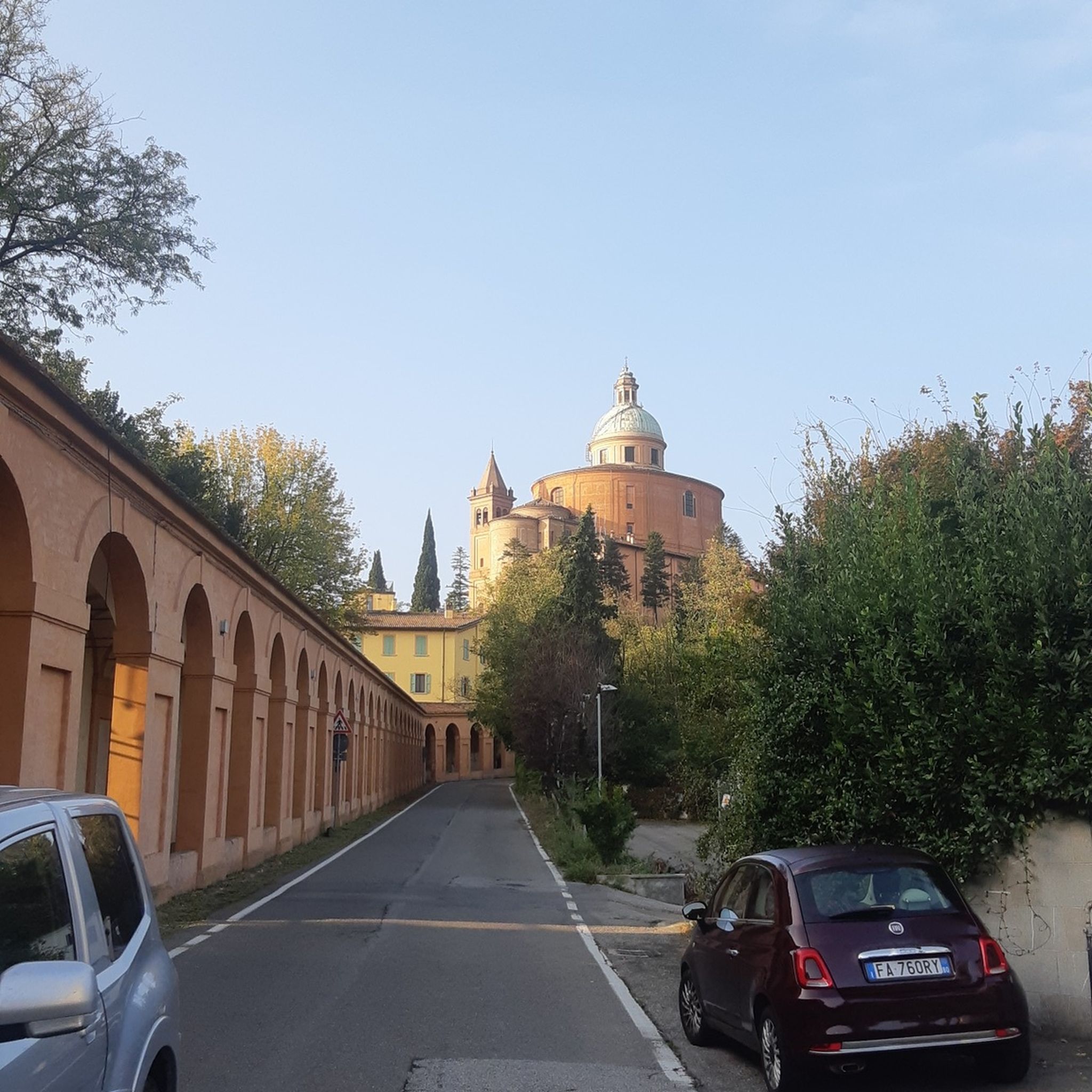
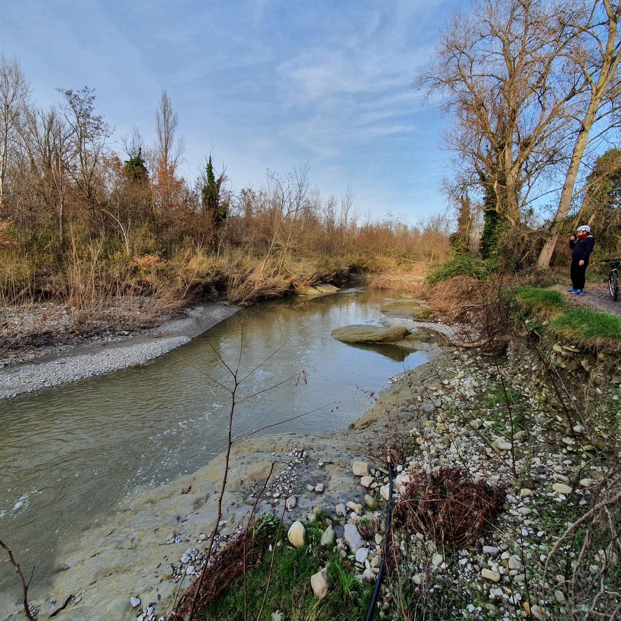
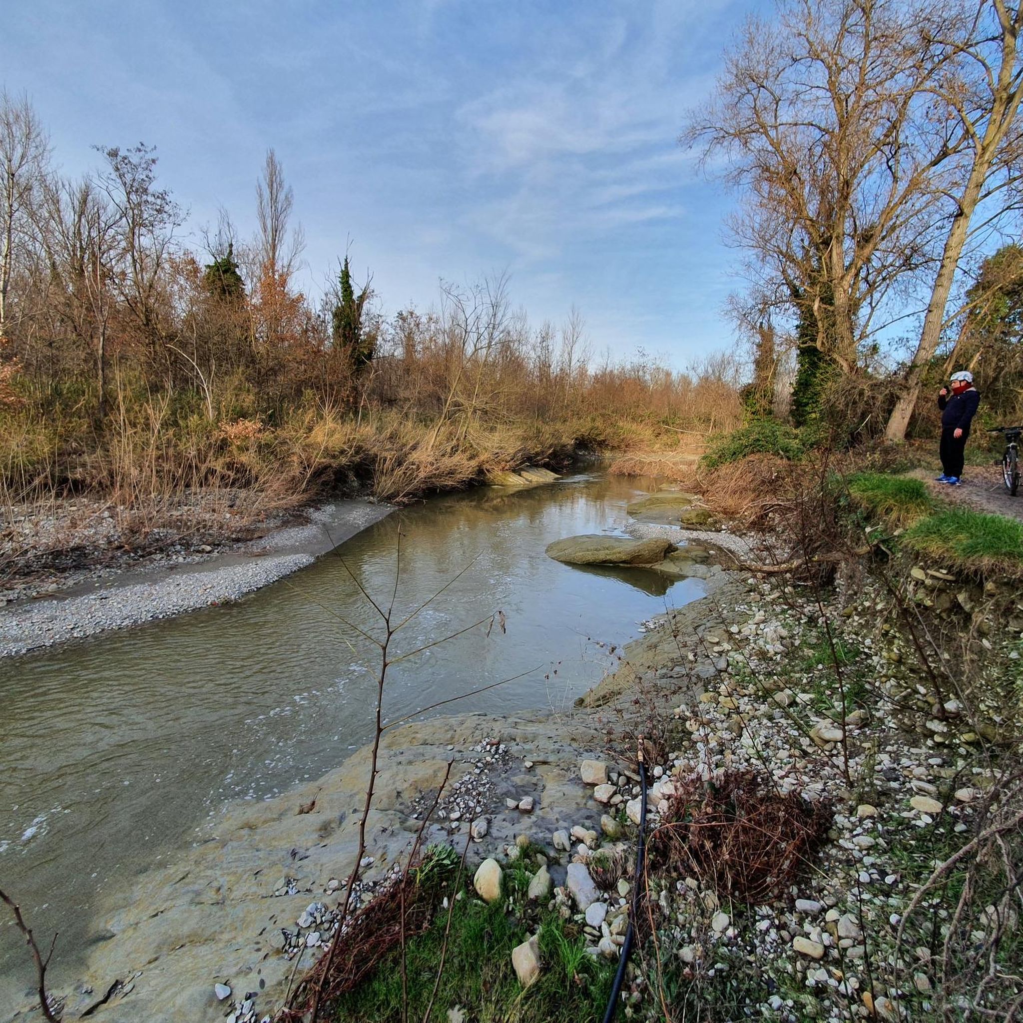
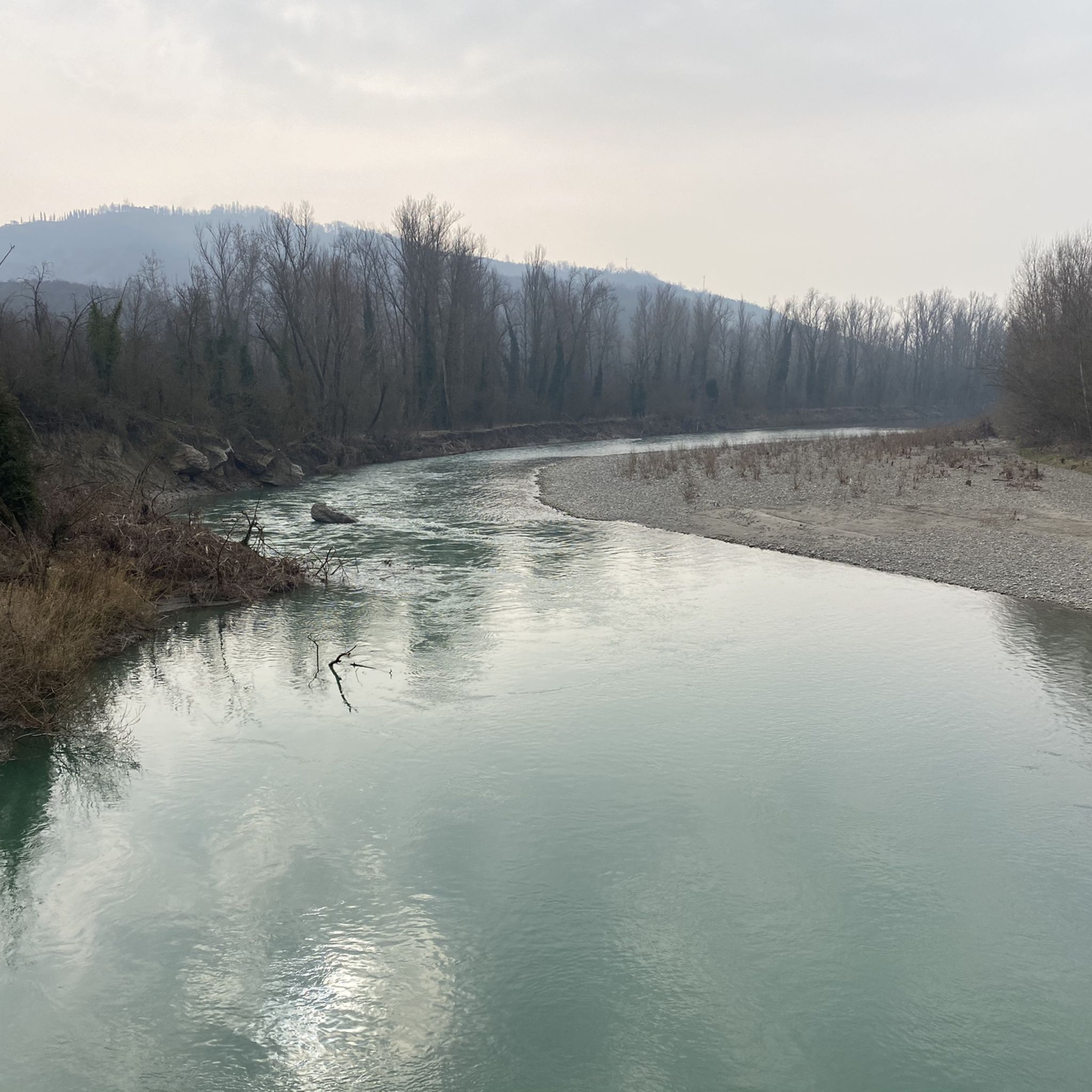
Tips from the Community

Fascinating place both geologically and for its natural beauty.
0
0

Mandatory crossing if you pass by here
0
0
Simple passage that follows the river
0
0

In view of the Marian shrine "Oratorio di Madonna del Boschi" that the hiker encounters here, I would like to share with the viewer a brief thought—or rather, a blessing—from Saint Padre Pio (Pio da Pietrelcina, 1887–1968): "May the Mother of Jesus and our Mother always smile upon your spirit and receive every heavenly blessing from her most holy Son."
0
0

Once you reach the highest peak, the road finally becomes flat. From here, on the ridge, you can enjoy a view of the entire horizon, including one of the famous "holes" of the area. The sun can beat down hard in the summer: no trees found.
0
0

Attention area changed after FLOOD 2023 AND 2024!
0
0
Frequently Asked Questions
How many hiking trails are available in San Lazzaro Di Savena?
There are nearly 100 hiking trails around San Lazzaro Di Savena, offering a wide range of options. You'll find 35 easy routes, 56 moderate trails, and a couple of more challenging options for experienced hikers.
What makes hiking in San Lazzaro Di Savena unique?
The region is renowned for its unique geological formations, particularly within the UNESCO World Heritage site of Parco Regionale dei Gessi Bolognesi e Calanchi dell'Abbadessa. You'll encounter extensive gypsum outcrops, dramatic badlands known as "calanchi," and fascinating karst phenomena like dolines and caves, creating a distinctive landscape unlike anywhere else in Emilia-Romagna.
Are there any family-friendly hiking trails in San Lazzaro Di Savena?
Yes, there are several options suitable for families. For an easier walk, consider the Spipola Cave – Candle Pit loop from Croara, which is about 4.2 km long and takes around 1 hour 15 minutes. This route offers a glimpse into the gypsum hills and is manageable for children. The area also features the Grotta della Spipola, which offers speleological excursions suitable for children over eight.
Can I bring my dog on the hiking trails?
Many trails within the Parco Regionale dei Gessi Bolognesi e Calanchi dell'Abbadessa are dog-friendly, provided your dog is kept on a leash. It's always best to check specific trail regulations, but generally, the natural environment welcomes well-behaved dogs. Remember to bring water for your pet, especially during warmer months.
What are the best seasons for hiking in San Lazzaro Di Savena?
Spring and autumn are generally the best seasons for hiking in San Lazzaro Di Savena. The temperatures are mild, and the landscapes are particularly vibrant with spring blooms or autumn colors. Summer can be hot, so early morning or late afternoon hikes are recommended, while winter offers a different, often quieter, experience, though some trails might be muddy or slippery.
Are there any circular hiking routes available?
Yes, many routes in the area are circular. A popular moderate option is the Gessi Bolognesi Park Loop via CAI 817 and 802, which is 16.5 km long. For a shorter loop, the CAI Trail 804: Farneto Loop covers 7.1 km and offers views of the karst landscape.
What kind of viewpoints can I expect on the trails?
The trails often lead to stunning viewpoints overlooking the dramatic badlands (calanchi), the distinctive gypsum hills, and the lush Zena Valley. You can also find panoramic views of the Pliocene Ridge Nature Reserve. For specific high points, consider trails that pass near the Peak of Monte Calvo.
Are there any interesting natural attractions or landmarks along the routes?
Absolutely. The region is rich in natural wonders. You can explore the famous Spipola Cave and the Candle Pit, both significant karst features. The Trail through the Gessi Bolognesi Calanchi offers direct encounters with the unique badlands formations. Additionally, you might come across serene spots like Laghetti del Maglio or Lake of the Beavers.
Is public transport available to access the hiking areas?
San Lazzaro di Savena is well-connected to Bologna by public transport, making it accessible. From San Lazzaro, local bus services can take you closer to the entrances of the Parco Regionale dei Gessi Bolognesi e Calanchi dell'Abbadessa. It's advisable to check local bus schedules for specific routes and stops near trailheads.
What do other hikers enjoy most about hiking in San Lazzaro Di Savena?
The area is highly rated by the komoot community, with an average score of 4.4 stars from over 580 reviews. Reviewers often praise the unique geological formations, the tranquility of the natural park, and the well-maintained trails that offer a diverse hiking experience, from gentle walks along the Idice River to more challenging ascents with rewarding views.
Are there any easy hiking trails for beginners?
Yes, there are 35 easy routes in the area. A good option for beginners is the Trail Along the Idice – Idice River Trail loop from Ca` Dei Mandorli. This moderate route is relatively flat, covering about 7.9 km with minimal elevation gain, making it a pleasant walk along the river.
Where can I find parking for the hiking trails?
Parking is generally available at various access points and trailheads around the Parco Regionale dei Gessi Bolognesi e Calanchi dell'Abbadessa. Specific parking areas are often indicated near popular starting points like Croara or Ca` Dei Mandorli. It's recommended to check maps or local information for the most convenient parking for your chosen route.
Most popular routes around San Lazzaro Di Savena
Most popular attractions around San Lazzaro Di Savena

Get inspired with the komoot mobile app


Explore more
Browse the best Hikes in other regions.
