The best cycling routes around Roccamontepiano
4.4
(69)
1,814
riders
97
rides
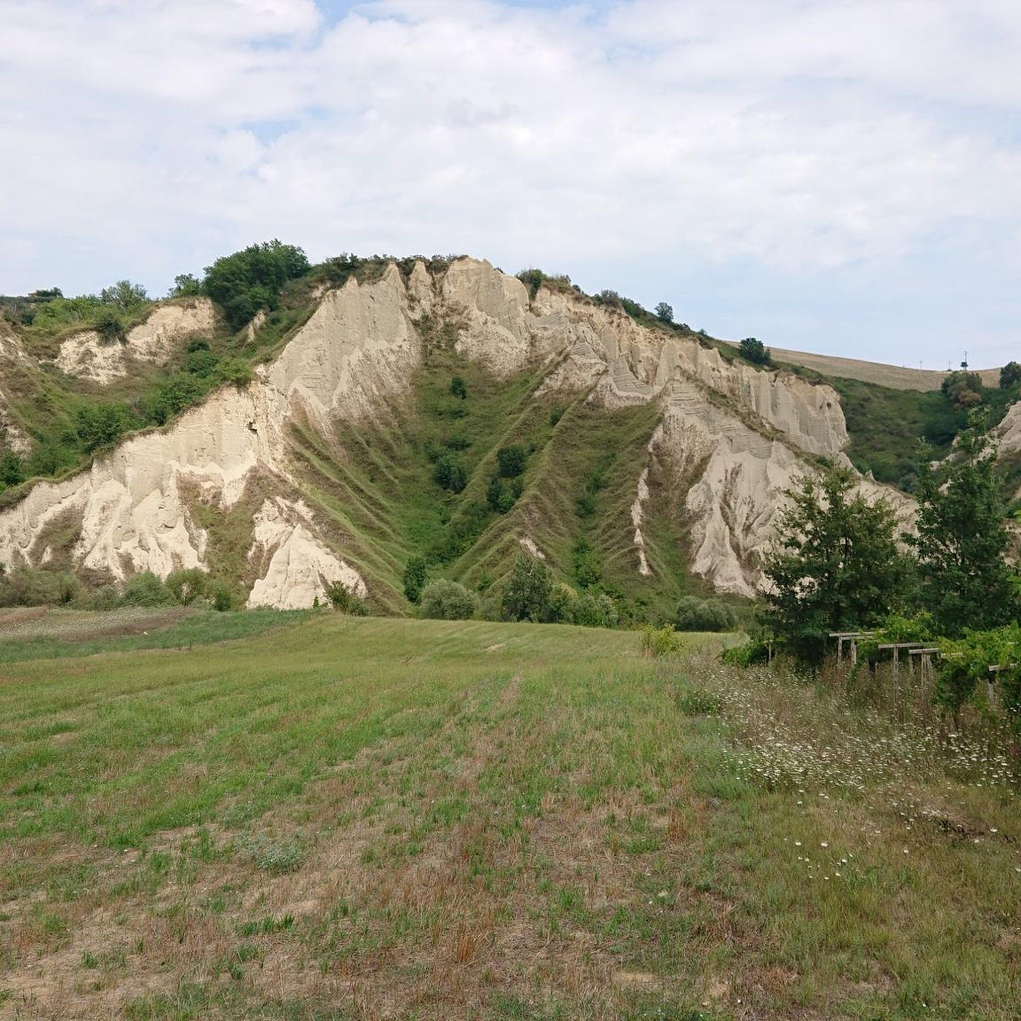
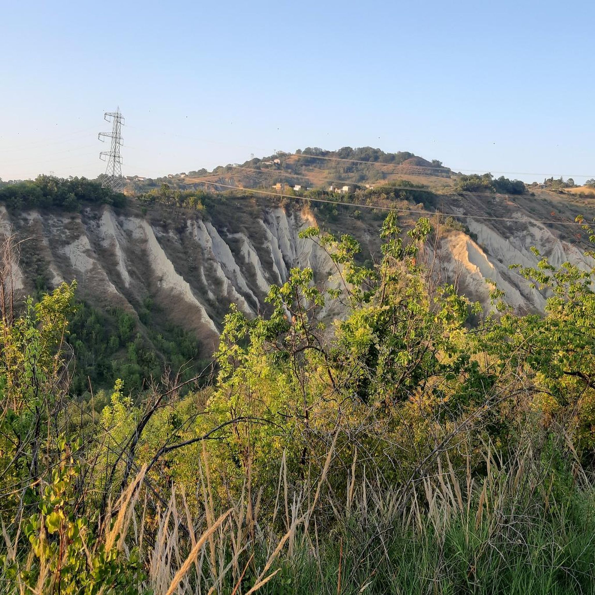
Touring cycling routes around Roccamontepiano are set against the firm slopes of the Maiella mountain, offering diverse landscapes for exploration. The region features the rich natural environment of the Alento Valley with oaks and hornbeams, alongside hills shaped by clays and carved by streams. Cyclists can experience routes traversing the broader Majella National Park, which includes natural monuments and mountain passes. This area provides varied and scenic routes suitable for touring cyclists seeking challenging terrain.
Best touring cycling routes around…
Last updated: July 5, 2026
4.0
(3)
68
riders
46.1km
03:50
1,540m
1,540m
Hard bike ride. Very good fitness required. Mostly paved surfaces. Suitable for all skill levels.
5.0
(3)
103
riders
Hard bike ride. Very good fitness required. Mostly paved surfaces. Suitable for all skill levels.

Sign up for free
3.7
(3)
58
riders
46.6km
03:48
1,410m
1,410m
Hard bike ride. Very good fitness required. Mostly paved surfaces. Suitable for all skill levels.
4.0
(2)
74
riders
50.1km
04:00
1,480m
1,480m
Hard bike ride. Very good fitness required. Mostly paved surfaces. Suitable for all skill levels.
5.0
(4)
24
riders
18.0km
01:29
600m
600m
Hard bike ride. Very good fitness required. Mostly paved surfaces. Suitable for all skill levels.
Get access to more routes and recommendations from other explorers.
Sign up for free
Already have an account?
Our route recommendations are based on thousands of hikes, rides, and runs completed by other people on komoot.
Start today with a free account
Your next adventure awaits.
Login or Signup
Tips from the Community

The inhabitants of Abruzzo and the neighboring region of Lazio have their own local observation related to this Passo Lanciano. When the sun sets in the spring behind the mighty Majella massif, it quickly gets dark on the Abruzzo side (i.e., where Passo Lanciano is located) and dusk falls, while on the other side of the mountains, in Lazio, it is still bright daylight. Locals joke that at the same moment, one half of Italy goes to sleep, and the other goes for an aperitivo.
0
0


The Foro river, after crossing Miglianico, continues its course towards the Adriatic Sea. The route crosses the countryside, offering a varied landscape. The river, in this area, is also bordered by a cycle path that allows you to enjoy the landscape
0
0


the Pomilio refuge, in addition to being a good restaurant, is also the start of the blockhaus and the path to reach the top of Mount Amaro
0
0
A picturesque route to the peak of La Maielletta (1,995 meters above sea level). On the left side of the road climbing to the peak there are places for rest, eating and contemplating the nearby peaks rising on the other side of the gorge (chasm).
3
0
At times the cycle path passes close to the bathing establishments... beautiful!
1
0
Frequently Asked Questions
How many touring cycling routes are available around Roccamontepiano?
There are nearly 100 touring cycling routes available around Roccamontepiano. The area offers a wide range of options, from challenging mountain climbs to scenic paths through natural parks, catering to various skill levels.
What kind of terrain can I expect on touring cycling routes in Roccamontepiano?
Touring cycling around Roccamontepiano is characterized by the firm slopes of the Maiella mountain, the rich natural environment of the Alento Valley with its oaks and hornbeams, and varied hills shaped by clays and carved by streams. You can expect challenging terrain, including routes with steep inclines, especially when heading towards higher elevations like Blockhaus.
Are there any easy touring cycling routes suitable for beginners in Roccamontepiano?
While many routes in Roccamontepiano are rated as difficult, there are some moderate options available. For instance, routes that follow the Alento river path can offer a more gentle experience, providing a cooler and enchanting environment during warmer months. However, the majority of the 99 routes are considered challenging.
What are some notable landmarks or points of interest I can see along touring cycling routes?
Many routes offer access to significant landmarks. You might encounter the Bocca di Valle Memorial, a military shrine, or the Chapel of Our Lady of the Snow at 2,000 meters on Blockhaus. The Hermitage of Santo Spirito a Majella, a 13th-century hermitage, is also accessible via a demanding route.
Are there any waterfalls or natural monuments to visit while cycling in the region?
Yes, the Majella National Park, which encompasses Roccamontepiano, is rich in natural monuments and features. You can find waterfalls like the San Giovanni Waterfall and the Macarone della Pila Waterfall. The area also boasts impressive caves such as Grotta dei Pulcini with its stalactites and stalagmites.
What do other touring cyclists enjoy most about cycling in Roccamontepiano?
The touring cycling routes around Roccamontepiano are highly rated by the komoot community, with an average score of 4.4 stars from over 70 reviews. Cyclists often praise the challenging ascents, the expansive mountain views, and the diverse landscapes that range from coastal scenery to the dramatic slopes of the Maiella.
Are there any circular touring cycling routes around Roccamontepiano?
Yes, there are several circular routes available. An example is the Passo Lanciano – Cima Mammarosa loop from Roccamontepiano, which takes you through mountain passes and offers scenic ascents. Another option is the Guardiagrele – Bocca di Valle Memorial loop from Roccamontepiano.
What is the best time of year for touring cycling in Roccamontepiano?
The region offers good cycling conditions for much of the year. For routes involving higher elevations like Blockhaus, late spring through early autumn (May to October) generally provides the most favorable weather. During warmer months, routes along the Alento river can offer cooler air. Always check the local weather forecast before heading out.
Is it possible to combine coastal cycling with mountain routes in this area?
Absolutely. The region's proximity to the Adriatic coast allows for diverse itineraries. For example, the Francavilla al Mare Seafront – Monument to the Fallen of the Sea loop from Pretoro offers coastal scenery, which can be combined with more challenging inland routes towards the Maiella mountain.
Are there any specific challenging climbs for experienced touring cyclists?
Experienced touring cyclists will find significant challenges in Roccamontepiano. The Blockhaus Climb from Pretoro is a particularly difficult route with a significant ascent towards Blockhaus, offering expansive mountain views. Routes to the Hermitage of Santo Spirito a Majella also feature very steep inclines, reaching up to 26% in places.
Where can I find parking for my car when starting a touring cycling route?
While specific parking locations for each route are not detailed here, Roccamontepiano and nearby towns often have designated parking areas. For routes starting from Roccamontepiano itself, look for public parking within the town. For routes like the Wolf Statue loop from Sant'Eufemia, parking would typically be available in the starting village.
Can I bring my dog on touring cycling routes in Roccamontepiano?
The Majella National Park, which covers much of the area, has specific regulations regarding dogs to protect wildlife. While some paths may be dog-friendly, it's essential to check the park's official guidelines or specific route descriptions for rules on bringing dogs, especially in protected areas. Always keep dogs on a leash and clean up after them.
Most popular routes around Roccamontepiano
Most popular attractions around Roccamontepiano

Get inspired with the komoot mobile app


Explore more
Browse the best Cycling routes in other regions.
