The best road cycling routes around Uelsby
4.5
(71)
521
riders
85
rides
Road cycling routes around Uelsby are set within a rural landscape in Schleswig-Holstein, Germany. The region features hilly terrain with elevations reaching up to 50 meters, providing varied gradients for cyclists. Cyclists can expect to encounter a network of quieter country roads passing through forests, meadows, and agricultural areas. This area is part of Schleswig-Flensburg, known for its diverse natural beauty.
Best road cycling routes around Uelsby
- The most popular road cycling route is St. Mary's Church Esgrus – View…
Last updated: July 9, 2026
22
riders
73.8km
03:03
350m
350m
Moderate road ride. Good fitness required. Mostly well-paved surfaces and easy to ride.
5.0
(3)
8
riders
50.0km
02:04
230m
230m
Moderate road ride. Good fitness required. Some segments of this route may be unpaved and difficult to ride.

Sign up for free
4.0
(1)
5
riders
Moderate road ride. Great for any fitness level. Some segments of this route may be unpaved and difficult to ride.
4
riders
31.7km
01:19
120m
120m
Moderate road ride. Great for any fitness level. Some segments of this route may be unpaved and difficult to ride.
4.0
(1)
5
riders
36.3km
01:28
160m
160m
Easy road ride. Great for any fitness level. Mostly well-paved surfaces and easy to ride.
Get access to more routes and recommendations from other explorers.
Sign up for free
Already have an account?
Our route recommendations are based on thousands of hikes, rides, and runs completed by other people on komoot.
Start today with a free account
Your next adventure awaits.
Login or Signup
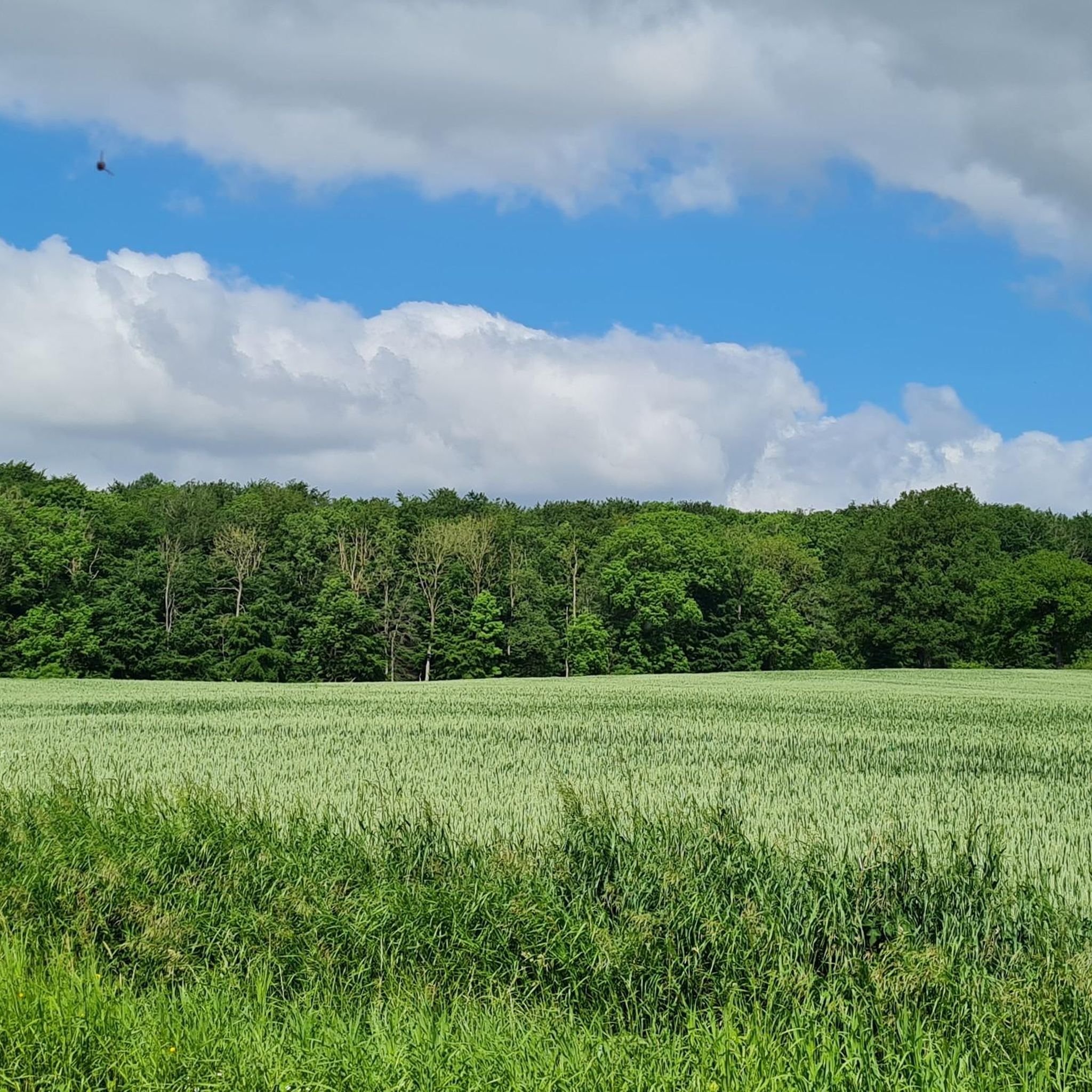
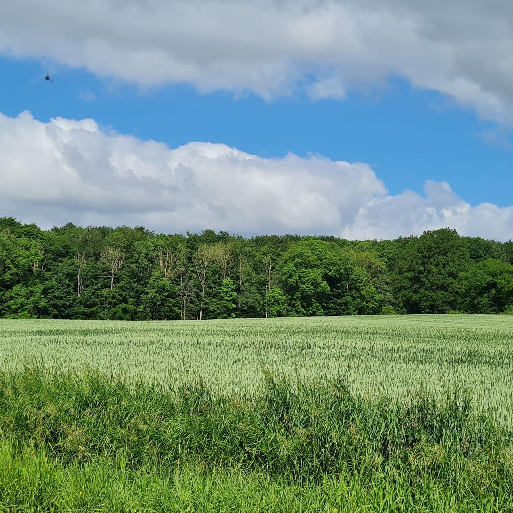
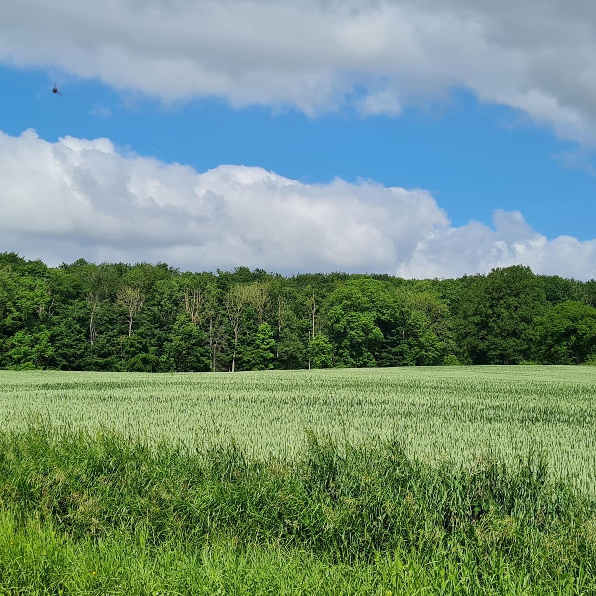
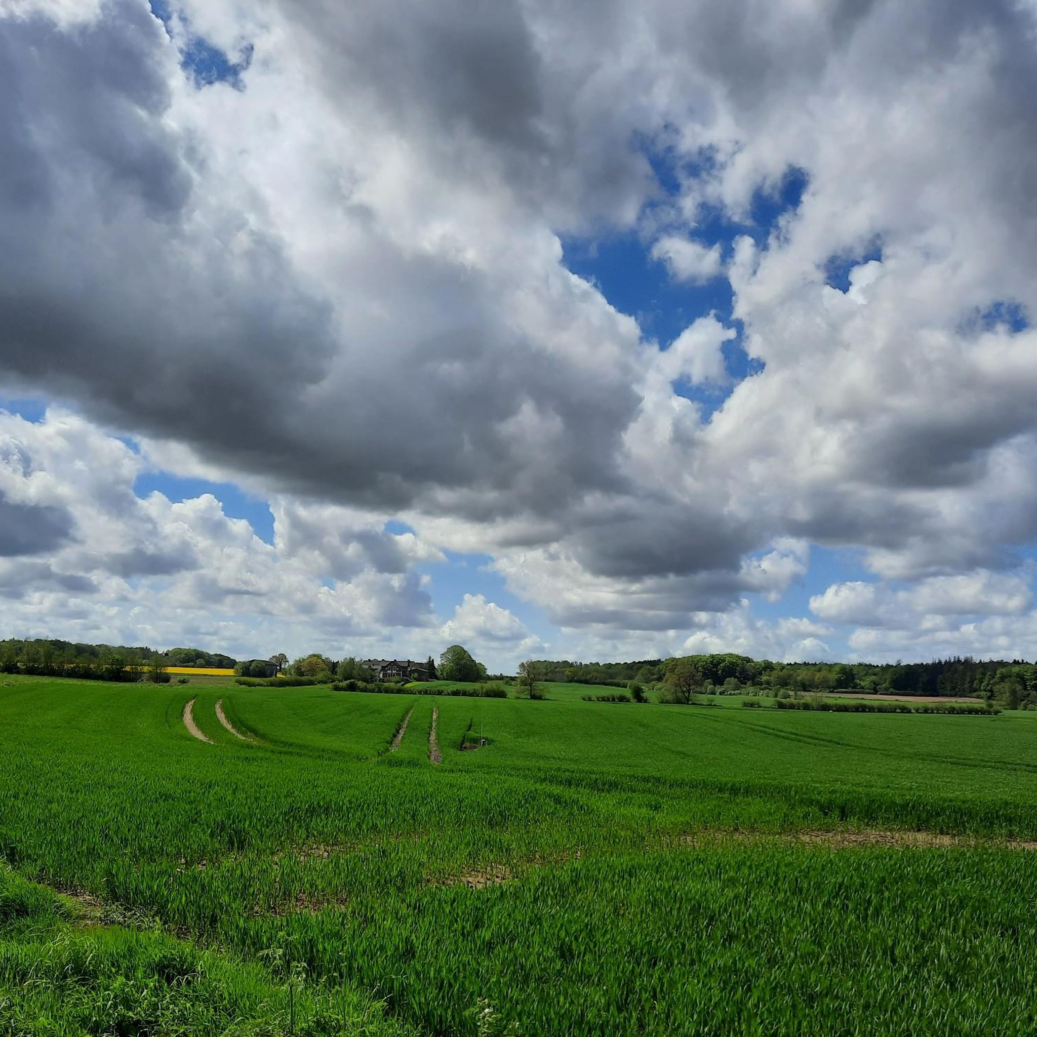
Tips from the Community

Simple bridge over the small Helligbek stream
1
0

Great selection of goat cheese and other products from their own farm. I recommend the various ice cream flavors! 😊🍦
0
0

beautiful trail through the forest with the bridge over the Helligbek (and not the Oxbek)
1
0

The Flensburg Fjord (Danish: Flensborg Fjord) is an approximately 40 to 50-kilometer-long inlet of the western Baltic Sea and forms the border between Germany (Schleswig-Holstein) and Denmark along its northern and southern sides. Geologically, it was formed by the indentation of a glacial tongue in the inland ice during the Weichselian glaciation. It is classified as a fjord rather than a fjord because its flanks are relatively low. The fjord is divided into two sections: the inner fjord toward Flensburg and the outer fjord, separated by the Holnis peninsula. At its western end, in Flensburg, it flows inland—the westernmost point of the Baltic Sea also lies along this line. Today, the region is an important sporting area, especially for sailors, and hosts major regattas such as the Flensburg Fjord Regatta and the Rum Regatta. Fjord Week, with events for classic yachts, is also part of the regular schedule. The Flensburg Fjord is also attractive for its landscape and tourism. It offers charming shorelines with beaches, steep coastlines, and moraine cliffs, nestled among gentle sandy areas. Nature and culture lovers will find a wealth of destinations along both shores: Flensburg with its historic old town and museum harbor, Glücksburg Castle, the Holnis peninsula with its protected salt marshes and lighthouses, as well as the Geltinger Birk nature reserve and the towns along the northern shore with the Gendarmenpfad (Gendarmen Trail) – a former border path along the Danish border. For centuries, the fjord has been shaped by passenger and freight traffic – historic steamers connected Flensburg with towns on both sides. Today, leisure boating, excursion boats, traditional yachts and marine activities dominate in Mürwik.
3
0

Just north of the bridge in the forest is a geocache box
0
1


This route is almost always car-free! This makes cycling fun.
0
0

Tiptop to drive 👌 Great fun factor 🤩 beautiful place
0
0
Frequently Asked Questions
How many road cycling routes are available around Uelsby?
There are over 90 road cycling routes available around Uelsby, offering a wide variety of options for cyclists. These routes are highly rated by the komoot community, with an average score of 4.6 stars.
What is the typical terrain like for road cycling in Uelsby?
The region around Uelsby is characterized by its hilly terrain, with elevations reaching up to 50 meters, providing varied gradients. You'll primarily encounter a network of quieter country roads passing through scenic forests like the Ausselbeker Gehege, meadows, and agricultural areas, offering diverse natural beauty.
Are there routes suitable for beginners or less experienced road cyclists?
Yes, Uelsby offers routes suitable for various skill levels. Approximately 36 of the available routes are classified as easy, making them ideal for beginners or those looking for a more relaxed ride. These routes often feature well-maintained rural roads and gentle gradients.
What natural features or landmarks can I expect to see while road cycling around Uelsby?
While cycling around Uelsby, you can expect to pass through diverse landscapes including the forested, hilly terrain of the Ausselbeker Gehege and the Fröruper Berge nature reserve. Routes often offer views of the rural surroundings and agricultural areas. You might also encounter historical churches, such as those mentioned on routes like Well-Maintained Rural Road – St Mary's Church, Havetoft loop from Schnarup-Thumby.
Are there any circular road cycling routes in the Uelsby area?
Yes, many of the road cycling routes around Uelsby are designed as loops, allowing you to start and finish at the same point. Examples include St. Mary's Church Esgrus – View of Südensee loop from Mittelangeln and Wildflower Meadow – Scenic country roads in Angeln loop from Uelsby, which offer varied distances and scenic views.
What is the best time of year for road cycling in Uelsby?
The region of Schleswig-Holstein, where Uelsby is located, generally offers pleasant conditions for road cycling from spring through autumn. During these seasons, the weather is typically mild, and the landscapes are vibrant. Summer provides longer daylight hours, while spring and autumn offer cooler temperatures and beautiful scenery.
Are there any family-friendly road cycling options around Uelsby?
While road cycling routes are generally on public roads, many of the routes around Uelsby utilize quieter rural roads, which can be more suitable for families with older children who are comfortable cycling on roads. Look for the 'easy' rated routes, such as the 36 available, which tend to have less challenging gradients and traffic.
What do other road cyclists enjoy most about road cycling in Uelsby?
The komoot community highly rates the road cycling experience in Uelsby, with an average score of 4.6 stars from over 60 reviews. Cyclists often praise the varied terrain, the peaceful rural roads, and the scenic views through forests and agricultural areas. The well-maintained surfaces and the sense of being immersed in nature are frequently highlighted.
Are there any specific viewpoints or scenic spots along the road cycling routes?
Many routes offer picturesque views of the rural landscape. For instance, the route St. Mary's Church Esgrus – View of Südensee loop from Mittelangeln provides views of the Südensee. The hilly terrain also means that you'll encounter various elevated points offering broader vistas of the surrounding forests and fields.
What is the average length and duration of road cycling routes in the Uelsby area?
The road cycling routes around Uelsby vary in length and duration. Many popular routes range from approximately 30 to 50 kilometers (19 to 31 miles), typically taking between 1 hour 30 minutes to 2 hours 30 minutes to complete, depending on your pace and the specific route's elevation profile.
Can I find places to eat or stay near the road cycling routes in Uelsby?
Uelsby is situated in a rural area, but the wider region of Schleswig-Holstein offers various amenities. While specific cafes or accommodations directly on every route might be limited, nearby towns and villages will have options for refreshments and overnight stays. It's advisable to plan your route and check for facilities in advance.
Are there any challenging road cycling routes for experienced cyclists?
While Uelsby's terrain is described as hilly with elevations up to 50 meters, the routes are generally classified as easy to moderate. There are 59 moderate routes available, which will offer more elevation gain and longer distances for experienced cyclists looking for a good workout, such as the Roadbike loop from Südangeln.
Most popular attractions around Uelsby

Get inspired with the komoot mobile app


Explore more
Browse the best Road cycling routes in other regions.
