The best walks and hikes around Giacciano Con Baruchella
4.9
(8)
67
hikers
31
hikes
Hiking around Giacciano Con Baruchella reveals a landscape shaped by its riverine environment, including the Tartaro River and various canals, which are often flanked by wooded areas. The region features flat terrain, making for accessible excursions through agricultural scenery characterized by vineyards and orchards. These trails frequently incorporate historical routes and offer opportunities to explore the natural beauty of the Polesine region.
Best hiking trails around Giacciano Con Baruchella
- The most popular hiking route is Adige River and Vangadizza Abbey…
Last updated: July 7, 2026
5.0
(3)
8
hikers
12.3km
03:06
20m
20m
Hike a moderate 7.6-mile (12.3 km) loop along the Adige River near Badia Polesine, exploring flat plains and historic landmarks.
7
hikers
5.30km
01:20
10m
10m
Easy hike. Great for any fitness level. Easily-accessible paths. Suitable for all skill levels.

Sign up for free
4.5
(2)
6
hikers
5.16km
01:18
10m
10m
Easy hike. Great for any fitness level. Easily-accessible paths. Suitable for all skill levels.
6
hikers
7.84km
01:59
20m
20m
Easy hike. Great for any fitness level. Easily-accessible paths. Suitable for all skill levels.
6
hikers
7.77km
01:58
20m
20m
Easy hike. Great for any fitness level. Easily-accessible paths. Suitable for all skill levels.
Get access to more routes and recommendations from other explorers.
Sign up for free
Already have an account?
Our route recommendations are based on thousands of hikes, rides, and runs completed by other people on komoot.
Start today with a free account
Your next adventure awaits.
Login or Signup
Tips from the Community

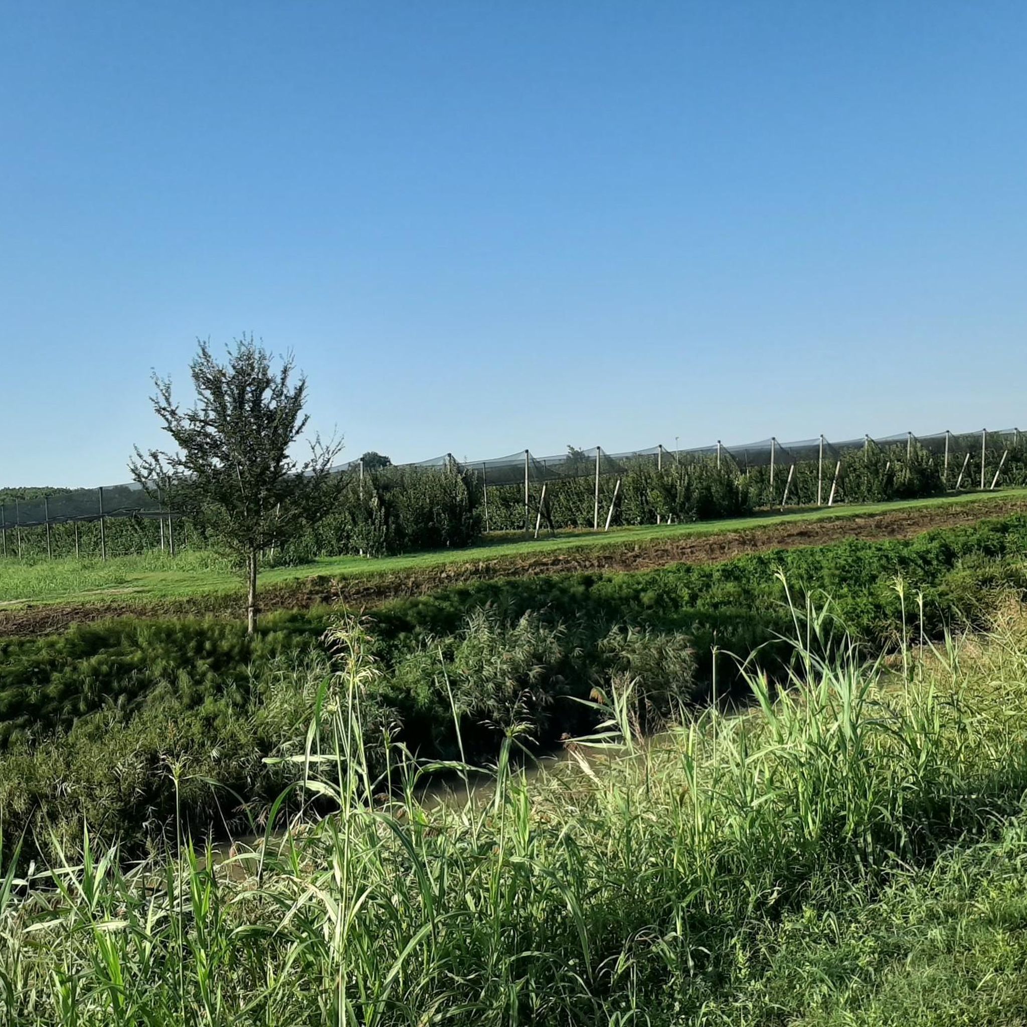
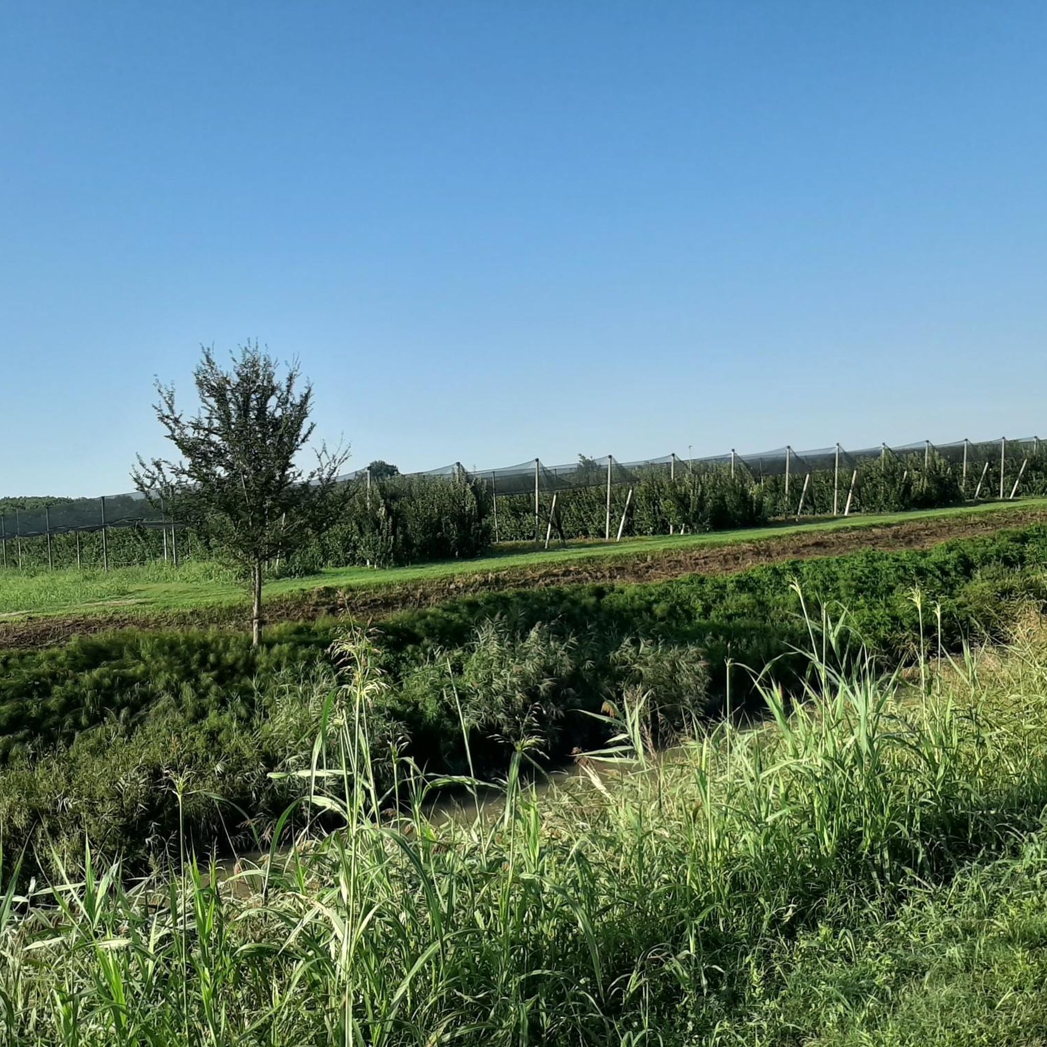
There is always shade here
0
0
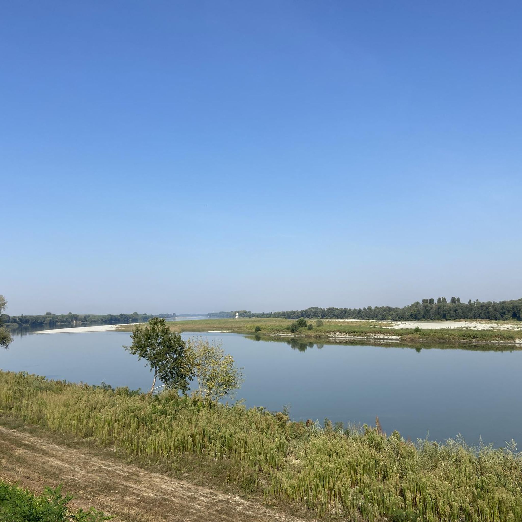
The Po River is beautiful
0
0

The Vangadizza abbey dates back to the 9th-10th century. In 1810 it underwent a partial demolition from which only an apse chapel and the leaning bell tower survived.
1
0
A stone's throw from the Adige and not far from the town of Badia Polesine, it opens up to the plain at 360° and we can admire the beautiful panoramas.
1
0

Larger town on the Etsch cycle path between Verona and Rosalina Mare. Ideal for an overnight stay.
3
1
Frequently Asked Questions
How many hiking trails are available around Giacciano Con Baruchella?
There are over 18 hiking trails around Giacciano Con Baruchella, offering a variety of experiences. Most of these, 13 to be exact, are considered easy, while 5 are moderate, making the area accessible for various fitness levels.
Are there any easy hiking trails suitable for beginners in the area?
Yes, the region is known for its flat terrain, making it ideal for easy walks. For instance, the Po Embankment – Access to Parco del Gruccione loop from Sermide is an easy 3.6-mile (5.8 km) path offering pleasant views of the Po River and access to a nature park. Another great option is the Golena Countryside Paths – Anchor Monument loop from Caposotto, which is 4.7 miles (7.6 km) and also rated easy.
What kind of landscapes can I expect to see while hiking in Giacciano Con Baruchella?
Hiking in Giacciano Con Baruchella offers a unique blend of riverine landscapes, agricultural scenery, and historical routes. You'll encounter waterways like the Tartaro River and various canals, often flanked by lush wooded areas. The surrounding countryside is characterized by vineyards and orchards, particularly notable for kiwi fruit production, especially scenic in spring with robinia in bloom.
Are there any circular walks available in Giacciano Con Baruchella?
Yes, many routes in the area are circular, allowing you to start and end at the same point. A good example is the View of Badia Polesine – Vangadizza Abbey loop from Badia Polesine, an easy 3.5-mile (5.6 km) trail that takes you through the local countryside and past historical sites.
What historical sites or landmarks can I explore along the hiking trails?
The region is rich in history. You can visit the 16th-century Castello di Sariano, offering harmonious architecture and views. The Stellata Stronghold, a UNESCO asset, is another significant historical fortress. Additionally, the area is part of the ancient pilgrim route, the Via Romea Strata, offering a chance to explore cultural heritage alongside natural beauty.
Are there any natural monuments or unique natural features to see?
Yes, the area features several natural points of interest. You can discover highlights like The Herons' Tree or the Monumental Plane Tree near the Church of San Rocco. The Gorghi di Trecenta Nature Trail is also a notable natural highlight.
What do other hikers enjoy most about the trails in Giacciano Con Baruchella?
The trails in Giacciano Con Baruchella are highly rated by the komoot community, with an average score of 5.0 stars. Hikers often praise the peaceful riverine environments, the charming agricultural landscapes, and the accessibility of the flat terrain, making for enjoyable and relaxing excursions.
Are there any trails that offer access to nature parks or protected areas?
Yes, the Po Embankment – Access to Parco del Gruccione loop from Sermide provides direct access to the Gruccione Park, allowing you to explore its natural environment. The region's canals and wooded areas also serve as important oases for local wildlife.
Can I find trails that follow ancient routes or historical paths?
Absolutely. Giacciano con Baruchella lies on the main route of the Via Romea Strata, an ancient pilgrim route. Hiking here offers a chance to walk along paths with significant historical and cultural heritage, connecting you to centuries of travel and exploration.
What is the best time of year to go hiking in Giacciano Con Baruchella?
Spring is particularly scenic, especially the stretch of the Fossa Maestra connecting Baruchella to Trecenta, which is perfumed by robinia in bloom. The annual 'caminada tra i kiwi' event in June also highlights the beauty of the agricultural landscapes. The flat terrain generally makes for accessible hiking throughout much of the year, but spring and early summer offer vibrant natural beauty.
Are there any trails suitable for families with children?
Given the predominantly flat terrain and numerous easy routes, many trails in Giacciano Con Baruchella are suitable for families. The shorter, easy loops through agricultural fields or along canals provide pleasant and manageable walks for all ages.
Where can I find parking for hiking trails in Giacciano Con Baruchella?
While specific parking locations vary by trail, the accessible nature of the region and its smaller towns generally means that parking is available near trailheads or in village centers. It's advisable to check the starting point of your chosen route on komoot for more precise parking information.
Most popular routes around Giacciano Con Baruchella
Most popular attractions around Giacciano Con Baruchella

Get inspired with the komoot mobile app


Explore more
Browse the best Hikes in other regions.
