The best walks and hikes around Magasa
4.5
(7768)
29,943
hikers
13
hikes
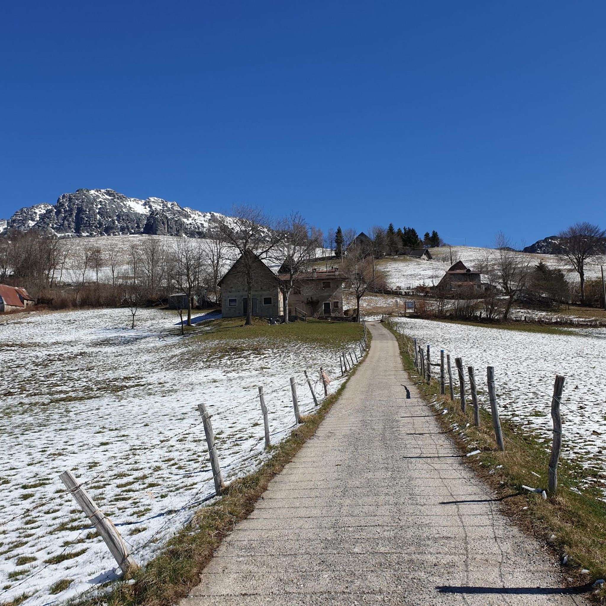
Hiking around Magasa offers diverse landscapes, characterized by prominent peaks like Cima Tombea (1950 m) and Monte Caplone (1976 m), which provide extensive panoramic views. The region features deep valleys, dense woods, and expansive meadows, alongside historical remnants from the First World War. This varied terrain includes both challenging mountain ascents and gentler paths through natural environments.
Best hiking trails around Magasa
- The most popular hiking route is Alta Via Garda Brenta Trail, a 6.6 miles (10.6 km) trail…
Last updated: August 17, 2026
4.8
(20)
72
hikers
10.6km
03:48
590m
590m
Moderate hike. Good fitness required. Mostly accessible paths. Sure-footedness required.
5.0
(1)
8
hikers
8.43km
03:08
470m
470m
Moderate hike. Good fitness required. Mostly accessible paths. Sure-footedness required.

Sign up for free
4
hikers
10.0km
03:47
630m
630m
Moderate hike. Good fitness required. Mostly accessible paths. Sure-footedness required.
5.0
(1)
3
hikers
7.10km
02:15
280m
280m
Moderate hike. Good fitness required. Easily-accessible paths. Suitable for all skill levels.
10.7km
03:56
670m
670m
Moderate hike. Good fitness required. Easily-accessible paths. Suitable for all skill levels.
Get access to more routes and recommendations from other explorers.
Sign up for free
Already have an account?
Our route recommendations are based on thousands of hikes, rides, and runs completed by other people on komoot.
Start today with a free account
Your next adventure awaits.
Login or Signup
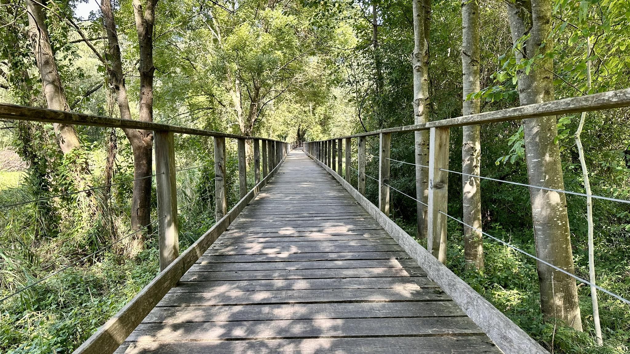
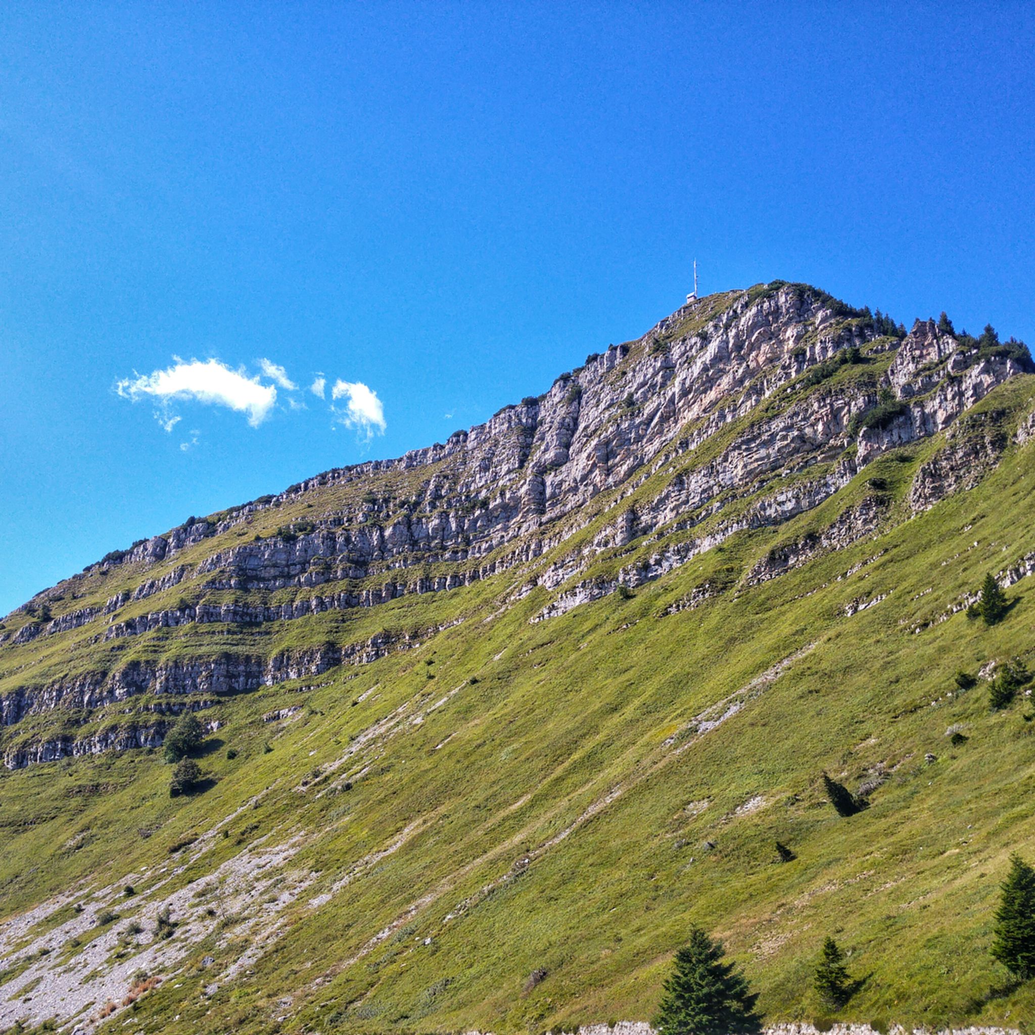
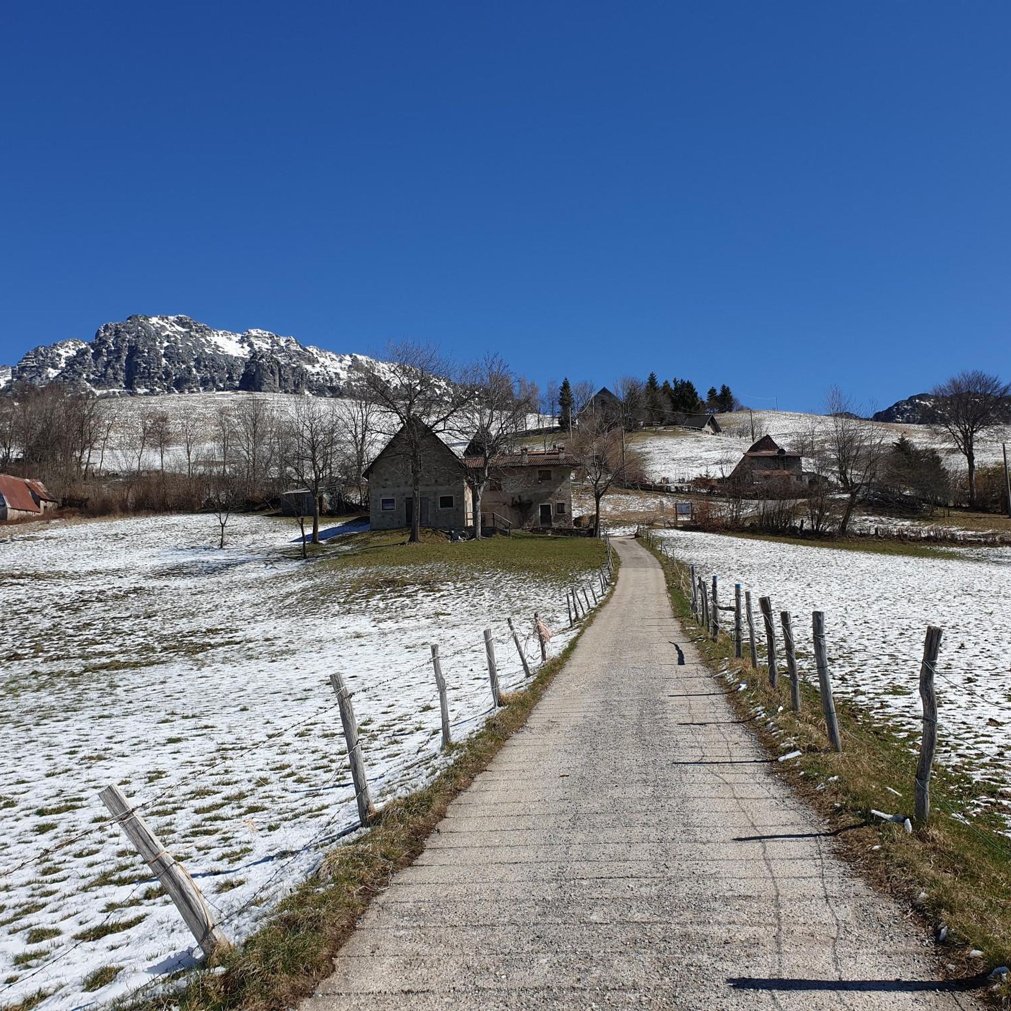
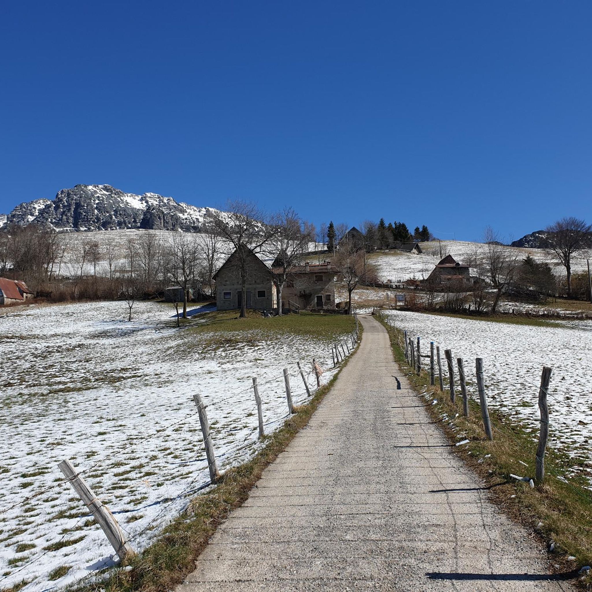

Other adventures around Magasa

Tips from the Community

A challenging climb in some sections.
0
0
In winter it must be beautiful .
0
0

I can't confirm the view of Lake Garda, but I highly recommend the hike with the historical relics from the First World War.
0
0

picnic tables
0
0

The ascent to Monte Caplone opens up many wonderful views of Lake Garda relatively quickly.
0
0
Frequently Asked Questions
How many hiking trails are available around Magasa?
Magasa offers a diverse network of trails, with over 14 hiking routes documented on komoot. These range from moderate climbs to more challenging ascents, providing options for various ability levels.
What are the general difficulty levels of hikes in Magasa?
The hiking trails around Magasa cater to a range of abilities. You'll find 1 easy route, 10 moderate routes, and 3 difficult routes, ensuring there's something for everyone from casual walkers to experienced mountaineers.
What natural landmarks or viewpoints can I expect to see on hikes in Magasa?
Magasa is rich in natural beauty. Many trails offer impressive panoramic views from peaks like Cima Tombea (1950 m) and Monte Caplone (1976 m), overlooking the Ledro Alps and parts of the UNESCO Biosphere. You can also find stunning views of Madonna di Montecastello and Lake Garda, and explore the serene Lake Valvestino.
Are there any historical sites to explore while hiking in Magasa?
Yes, the landscape around Magasa bears significant historical remnants from the First World War. Hikers can discover tunnels and trenches, offering a unique journey back in time. Notable sites include the World War I Tunnels of Tremosine and a Bunker With a View of Lake Garda.
Are there any circular hiking routes in Magasa?
Yes, for those who prefer to start and end in the same location, there are circular routes available. A popular option is the Cima Rest - Malga Corva Loop, which offers varied terrain and scenic views.
What is the best time of year to go hiking in Magasa?
Given the region's prominent peaks and diverse terrain, the best time for hiking in Magasa is generally from late spring through early autumn. During these months, the weather is typically more favorable for exploring the high mountain areas, dense woods, and expansive meadows.
Are there family-friendly hiking options in Magasa?
While many routes involve challenging ascents, Magasa also offers gentler paths suitable for families. Look for routes categorized as 'easy' or 'moderate' that traverse through woods and meadows, providing a pleasant outdoor experience without extreme difficulty.
Can I bring my dog on the hiking trails in Magasa?
Magasa's wilderness environment is generally welcoming to dogs. Most trails are suitable for well-behaved dogs on a leash, allowing them to enjoy the diverse landscapes alongside you. Always ensure your dog is under control and respect local wildlife.
What do other hikers enjoy the most about hiking in Magasa?
The area is highly rated by the komoot community, with an average score of 4.5 stars from over 7000 reviews. Reviewers often praise the spectacular panoramic views from the mountain peaks, the diverse terrain including dense woods and meadows, and the unique historical elements found along the trails.
Are there any trails that lead to high mountain pastures or offer views of Cima Tombea?
Yes, a highly regarded route that takes you through mountain pastures and offers views towards Cima Tombea is Trail 267 from Malga Casina to Malga Tombea. This moderate path is a favorite among local hikers.
Are there any trails that specifically explore the high mountain terrain of Monte Caplone and Monte Tombea?
For those seeking high mountain experiences, the Monte Caplone and Monte Tombea Trail is an excellent choice. This route leads through challenging high mountain terrain, offering extensive views.
What kind of terrain can I expect on the Alta Via Garda Brenta Trail?
The Alta Via Garda Brenta Trail is known for its varied terrain, providing a mix of landscapes and views of the surrounding mountains. It's a popular choice for experiencing the region's diverse natural environment.
Most popular routes around Magasa
Most popular attractions around Magasa

Get inspired with the komoot mobile app


Explore more
Browse the best Hikes in other regions.
