The best walks and hikes around Meugliano
4.5
(2144)
8,788
hikers
411
hikes
Hiking around Meugliano, nestled in Italy's Valchiusella, offers a diverse landscape characterized by morainic lakes, tranquil pine and deciduous forests, and crystalline waters. The region features varied topography, from the serene Lake Meugliano at 700 meters above sea level to the broader Valchiusella with its quiet woods. Hikers can explore paths along river-carved natural pools and through areas with moderate elevation changes.
Best hiking trails around Meugliano
- The most popular hiking route is Trail of the Souls, a 4.1 miles (6.6 km) trail that takes 2 hours 40 minutes to complete. This moderate route leads through natural surroundings.
- Another top favourite among local hikers is Monte Lion Summit Cross – Alpe Laser Viewpoint loop from Colletto di Bossola, a moderate 4.8 miles (7.8 km) path. This trail features significant elevation gain, leading to summit views.
- Local hikers also love the Roman Bridge of Fondo – Talorno Mountain Village loop from Cappia, a 7.5 miles (12.0 km) trail leading through characteristic mountain villages and past historical features, often completed in about 3 hours 45 minutes.
- Hiking around Meugliano is defined by morainic lakes, dense forests, and mountain villages. The network offers options for easy, moderate, and difficult routes, catering to various ability levels.
- The routes in Meugliano are highly rated by the komoot community with an average score of 4.5 stars from over 2,000 reviews. More than 8,500 hikers have used komoot to explore Meugliano's varied terrain.
Last updated: June 25, 2026
4.7
(3)
28
hikers
6.59km
02:40
280m
280m
Hike the moderate 4.1-mile (6.6 km) Forest trail to Cappia village (via Trail 730) in Valchiusella, featuring forests, rock carvings, and bi
4.7
(16)
45
hikers
7.82km
03:54
650m
650m
Moderate hike. Good fitness required. Mostly accessible paths. Sure-footedness required.

Sign up for free
3.2
(5)
28
hikers
12.0km
03:45
470m
480m
Moderate hike. Good fitness required. Easily-accessible paths. Suitable for all skill levels.
4.8
(8)
19
hikers
11.1km
03:19
300m
300m
Moderate hike. Good fitness required. Mostly accessible paths. Sure-footedness required.
4.8
(4)
22
hikers
9.49km
02:43
220m
220m
Moderate hike. Good fitness required. Easily-accessible paths. Suitable for all skill levels.
Get access to more routes and recommendations from other explorers.
Sign up for free
Already have an account?
Our route recommendations are based on thousands of hikes, rides, and runs completed by other people on komoot.
Start today with a free account
Your next adventure awaits.
Login or Signup

Tips from the Community

Beautiful village, very well maintained. There is also an inn where you can eat and also stay overnight
0
0

Accessible by car after a dirt road, excellent starting point for Monte Lion
2
0

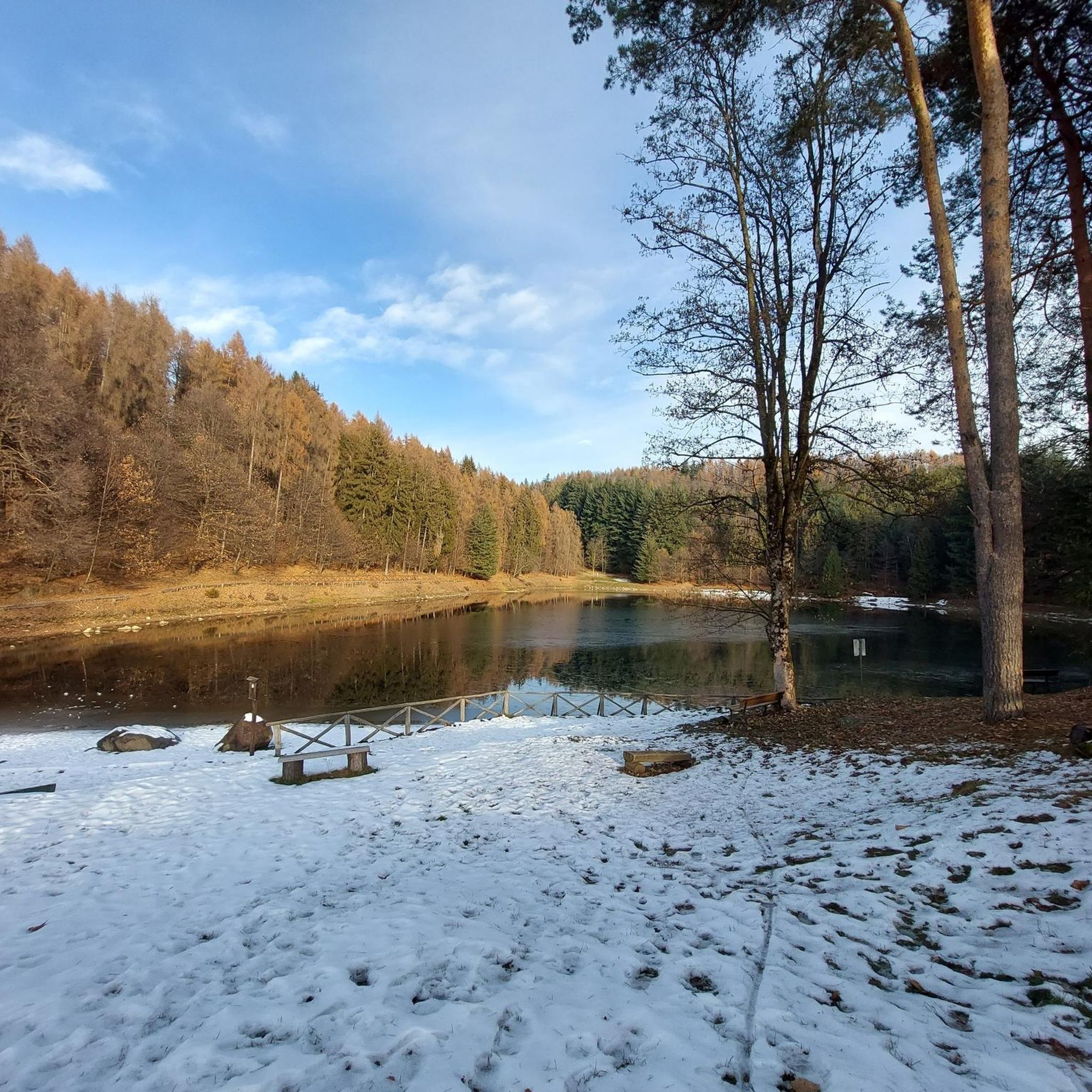
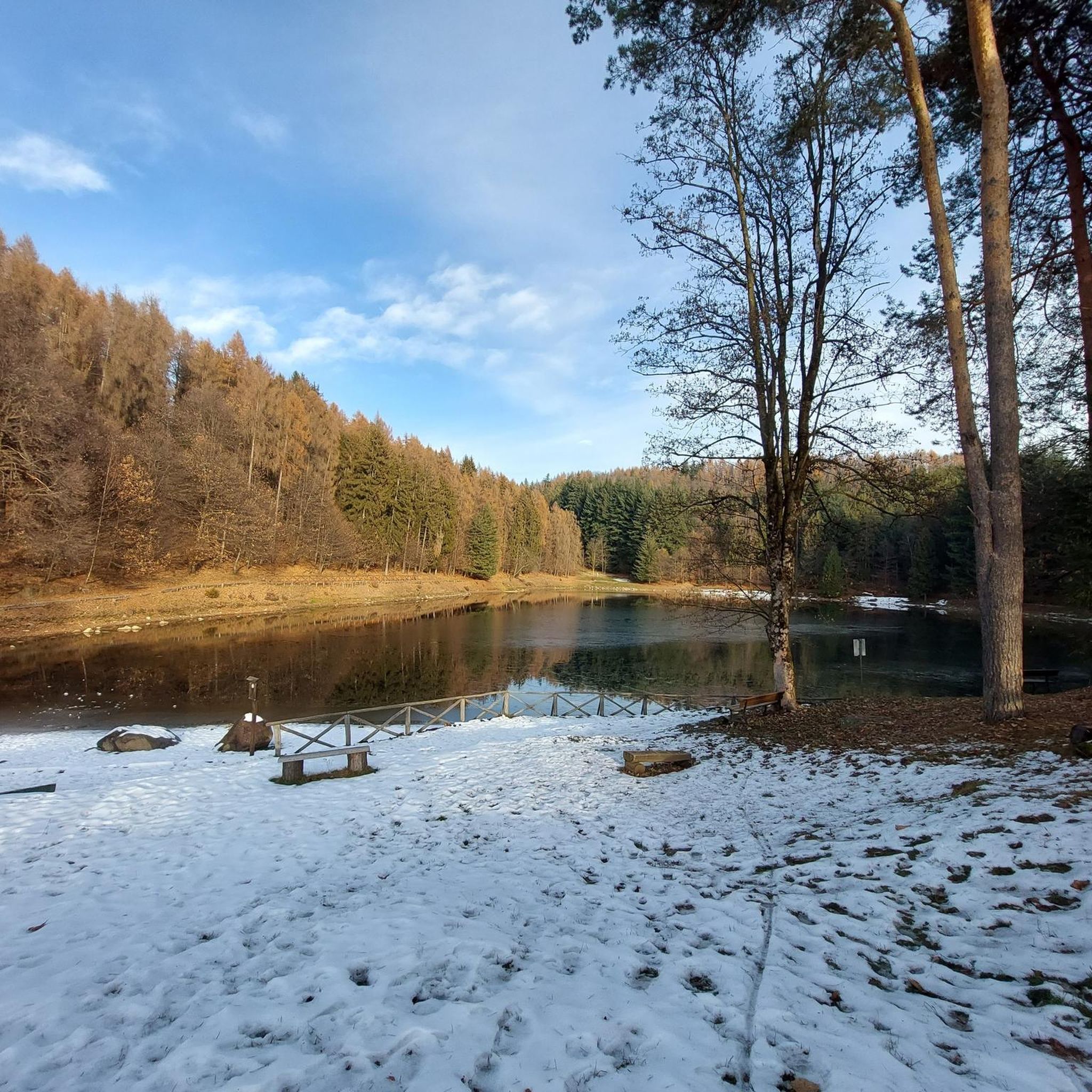
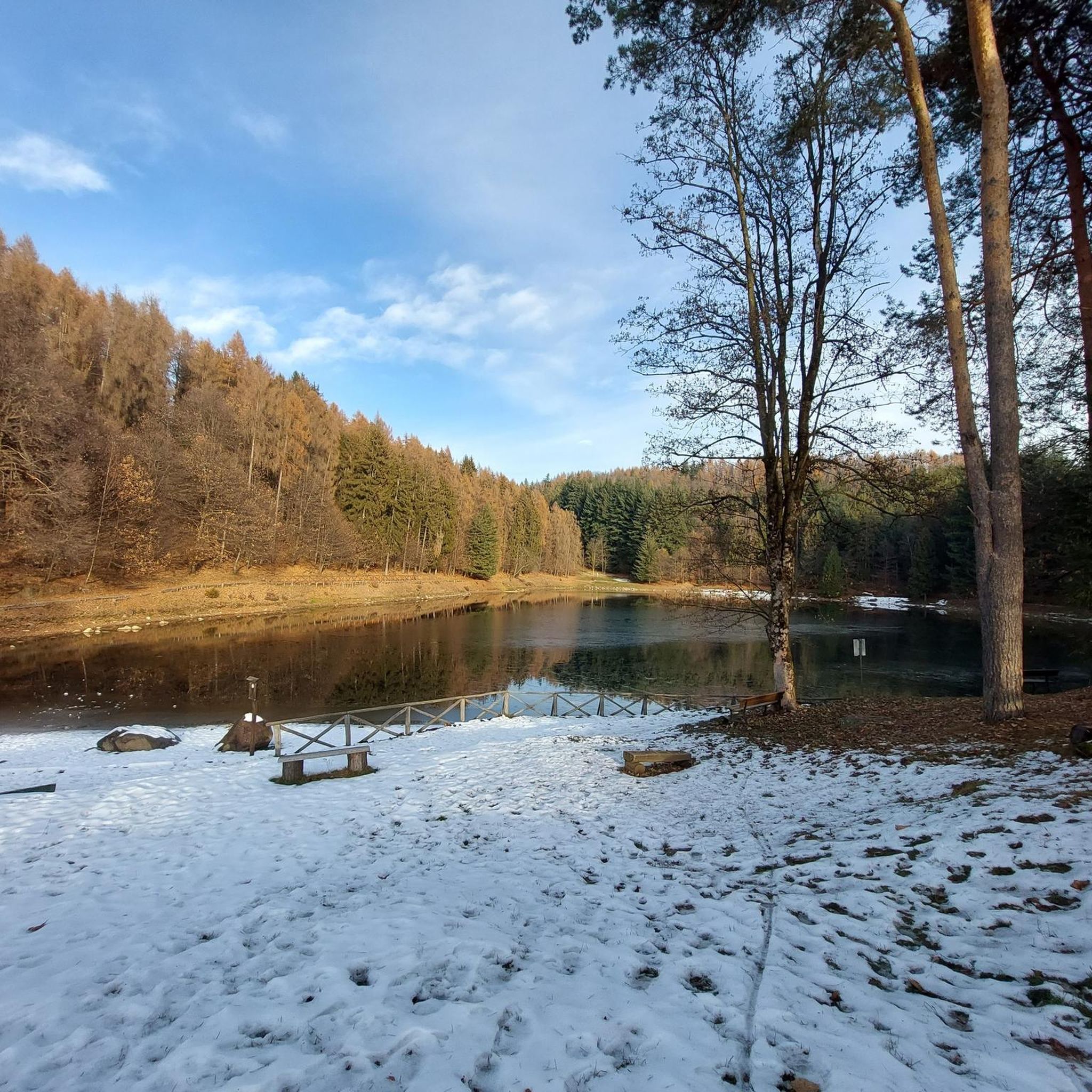
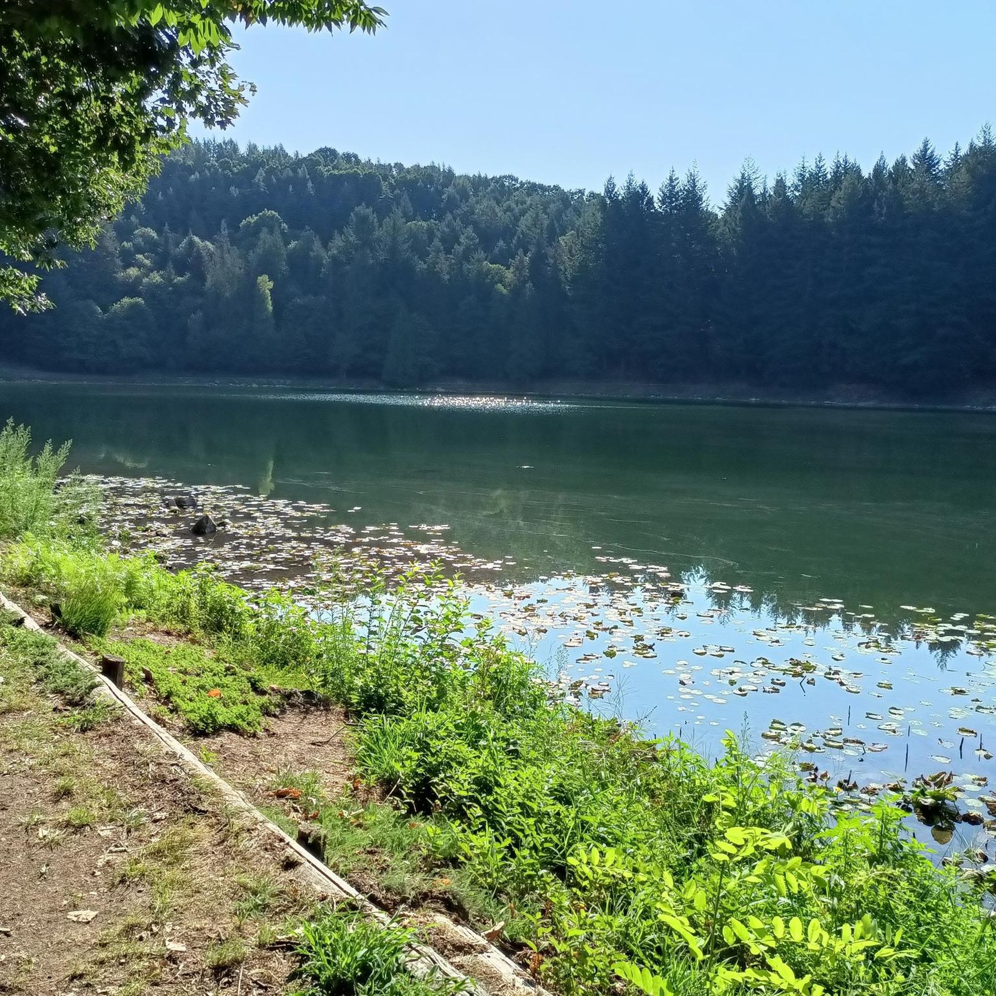
Lake Alice Superiore is a little jewel, on clear winter days the Alps are reflected in its waters...
0
0

After a climb, just stop at the bar restaurant on the shore of ..Lake Alice 🐰
0
0
At the summit there is a metal cross and a small metal box containing the summit diary.
1
0

Beautiful Valchiusella Bridge, similar to the Devil's Bridge of Lanzo Torinese
0
0
Last location in Valchiusella accessible by car
0
0
Frequently Asked Questions
How many hiking trails are available around Meugliano?
There are over 360 hiking trails around Meugliano, offering a wide range of options for different skill levels and preferences.
Are there easy hiking options suitable for beginners or families?
Yes, Meugliano offers over 100 easy hiking routes. A popular choice for families is the naturalistic path around Lake Meugliano, which is relatively flat and takes about 2 hours to complete, making it ideal for a relaxed outing.
What kind of natural features can I expect to see on hikes in Meugliano?
Meugliano's landscape is defined by morainic lakes, tranquil pine and deciduous forests, and crystalline waters. You'll encounter picturesque settings like Lake Meugliano, the nearby Lakes of Alice, and the river-carved natural pools known as the Guje di Gavarot.
Are there any circular hiking routes in the area?
Yes, many trails in Meugliano are circular. For example, the Monte Lion Summit Cross – Alpe Laser Viewpoint loop from Colletto di Bossola offers a moderate challenge with significant elevation gain, leading to rewarding summit views.
Can I hike with my dog in Meugliano?
Many trails in Meugliano are dog-friendly, allowing you to enjoy the natural beauty with your canine companion. Always ensure your dog is under control and check for any specific local regulations on individual trails.
What are some notable landmarks or points of interest to explore during a hike?
Beyond the beautiful lakes, you can explore historical and natural landmarks. Consider the Roman Bridge of Fondo – Talorno Mountain Village loop from Cappia, which takes you past the ancient Roman Bridge of Fondo and through characteristic mountain villages like Talorno and Succinto.
Are there any hikes that feature waterfalls or natural pools for swimming?
Yes, for a refreshing experience, you can visit the Guje di Gavarot, which are natural pools carved by the Chiusella river. They are accessible via a short trail through the woods and offer a chance for a cool dip.
What is the best time of year for hiking in Meugliano?
The region is beautiful throughout much of the year. Spring and autumn offer pleasant temperatures and vibrant scenery, while summer is ideal for enjoying the lakes and natural pools. Winter hiking is also possible, though some higher elevation trails may require more experience and appropriate gear.
What do other hikers enjoy most about hiking in Meugliano?
The area is highly rated by the komoot community, with an average score of 4.5 stars from over 2,000 reviews. Hikers often praise the tranquil natural beauty, the diverse landscape of lakes and forests, and the variety of trails suitable for all fitness levels.
Are there any longer or more challenging hikes for experienced trekkers?
Yes, Meugliano offers over 70 difficult routes for experienced hikers. Some longer treks can last more than 5 hours with over 900 meters of elevation gain, requiring very good fitness, sturdy shoes, and potentially alpine experience. An example of a moderate route with significant elevation is the Monte Lion Summit Cross – Alpe Laser Viewpoint loop from Colletto di Bossola.
Are there opportunities for wild swimming near hiking trails?
Absolutely. The Guje di Gavarot, natural pools formed by the Chiusella river, are a popular spot for wild swimming and can be reached via a short hike. Additionally, the various morainic lakes in the area, such as Lake Meugliano and the Lakes of Alice, provide serene settings for a dip.
Can I combine hiking with other activities like alpaca trekking?
Yes, the region offers unique experiences. You can find routes like the Alpaca Trekking Experience loop from Alice Superiore, which combines hiking with an engaging interaction with alpacas.
Most popular routes around Meugliano
Most popular attractions around Meugliano

Get inspired with the komoot mobile app


Explore more
Browse the best Hikes in other regions.
