The best walks and hikes around Lumezzane
4.4
(481)
2,370
hikers
64
hikes
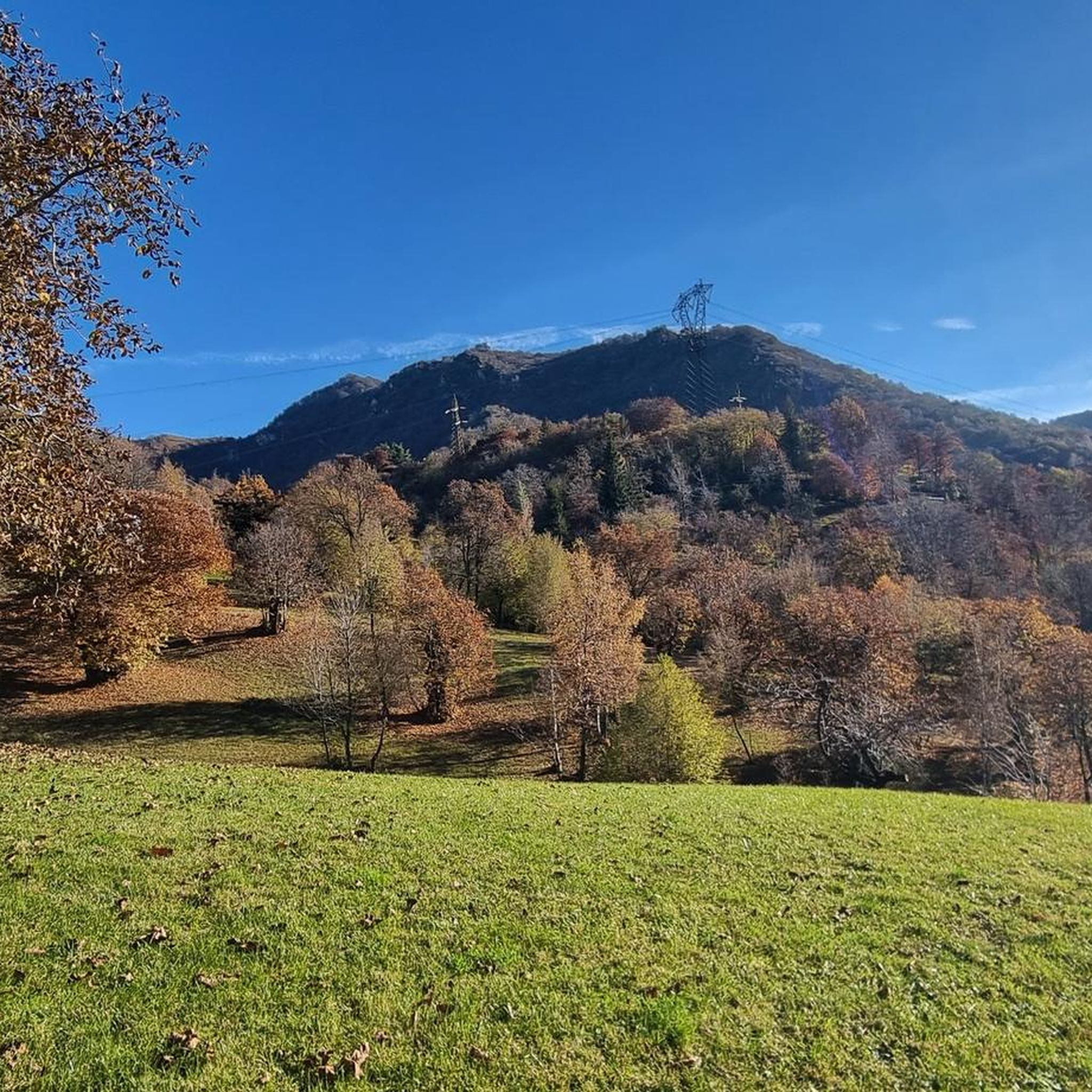
Hiking around Lumezzane offers diverse terrain for outdoor enthusiasts in Italy's Lombardy region. Situated in the Gobbia Valley, the area is characterized by mountainous landscapes, including Monte Palosso and Monte Ladino, with elevations ranging from 200 to 1,000 meters above sea level. The region features a mix of ancient coral reefs, grassy summits, and dense woodlands, providing varied natural environments for exploration.
Best hiking trails around Lumezzane
- The most popular hiking route is Monte Prealba Summit Trail (via Trail 370)…
Last updated: October 10, 2026
4.5
(49)
163
hikers
10.1km
03:40
530m
530m
Mountain trail through ancient coral reefs to grassy summits with distant Lake Garda views.
4.5
(47)
163
hikers
8.66km
03:12
470m
470m
Moderate hike. Good fitness required. Mostly accessible paths. Sure-footedness required.

4.5
(11)
19
hikers
5.00km
02:00
330m
330m
Moderate hike. Good fitness required. Mostly accessible paths. Sure-footedness required.
4.3
(13)
65
hikers
13.8km
05:04
850m
850m
Hike the difficult 8.6-mile Via del Sacro, gaining 2785 feet to the Corna Sonclino summit with historical monuments and a hut along the way.
4.5
(12)
47
hikers
7.02km
02:57
560m
560m
Forest trail to Corna Sonclino's summit cross with 360-degree views over Lombardy peaks.
Get access to more routes and recommendations from other explorers.
Already have an account?
Our route recommendations are based on thousands of hikes, rides, and runs completed by other people on komoot.
Start today with a free account
Your next adventure awaits.

Other adventures around Lumezzane

Tips from the Community

The bed and the meal might be available on the weekend, if at all. We arrived during the week and then had a real problem.
0
0

Beautiful sanctuary for a physical and spiritual break.
1
0

to return to the Pian di Lò and avoid the descent from Prealba, because I consider it a bit treacherous, I chose this path. Be careful because it is more visible. Where the signs cross, you have to make a sharp bend, and with a sharp eye you can notice the path. Do not take the path that always goes down to the left, which would be the most visible, because it takes you out of the woods.
0
0
Beautiful tour but the time given is too short. For the average hiker, plan an extra hour.
0
0


Very suggestive place near Monte Conche, it is recommended to pass it!
2
2
The summit of Monte Conche offers a wonderful view, it is highly recommended to see the sunset here!
1
0
From this point you have a beautiful view of Lake Garda in the distance, take a few minutes to take some nice pictures!
1
0
Frequently Asked Questions
What kind of terrain can I expect on hiking trails around Lumezzane?
The Lumezzane area, nestled in the Gobbia Valley, offers diverse terrain for hikers. You'll find mountainous landscapes with elevations ranging from 200 to 1,000 meters above sea level, featuring ancient coral reefs, grassy summits, and dense woodlands. This variety ensures a rich natural environment for exploration.
Are there any easy hiking trails suitable for beginners in Lumezzane?
Yes, while many routes are moderate to difficult, Lumezzane does offer options for easier walks. For instance, the family-friendly walk from Lumezzane to San Bernardo on CAI Trail no. 367 passes through dense woodland and leads to a picnic area and hermitage, making it a pleasant option for those seeking a less strenuous experience.
What are the best trails for panoramic views in Lumezzane?
For breathtaking panoramas, consider trails that ascend to higher elevations. The Monte Prealba Summit Trail (via Trail 370) offers distant views of Lake Garda from its grassy summits. Another excellent choice is the Corna Sonclino Summit Trail (via Trail 363), which leads to a summit cross providing 360-degree panoramic views over the Lombardy peaks.
Are there any circular hiking routes in Lumezzane?
Yes, Lumezzane features several well-regarded circular routes. You can explore the varied landscape of Monte Prealba with the moderate Climbing Mount Prealba in the province of Brescia — Ring tour. Another popular option is the Climb to Monte Conche in the province of Brescia — Ring tour, which is a moderate 5 km trail.
What kind of natural features or landmarks can I expect to see on the trails?
Hiking around Lumezzane offers a variety of natural and historical sights. You'll encounter ancient coral reefs and dense woodlands. On the trail from Lumezzane to San Bernardo, you can pass the Boio reservoir, the modern little church of Uberto, and the hermitage of San Bernardo with its ancient chestnut trees. The Via del Sacro also includes historical monuments along its path.
What do other hikers say about the trails in Lumezzane?
The hiking trails in Lumezzane are highly rated by the komoot community, with an average score of 4.4 stars from over 390 reviews. Hikers often praise the diverse terrain, from mountainous paths to tranquil woodlands, and the spectacular vistas, including views of Lake Garda and the Lombardy peaks.
Are there any family-friendly hiking options in Lumezzane?
Absolutely. The walk from Lumezzane to San Bernardo is specifically highlighted as family-friendly. It's a pleasant walk through dense woodland, past the Boio reservoir, and leads to a picnic area, making it suitable for families.
What is the best time of year to go hiking in Lumezzane?
While specific seasonal data isn't provided, the region's mountainous terrain and diverse landscapes suggest that spring and autumn would offer pleasant temperatures and vibrant scenery. Summer can be warm, especially at lower elevations, while winter might bring snow to higher peaks, offering different challenges and beauty.
Are there any nearby attractions or points of interest to visit after a hike?
Yes, Lumezzane is close to several interesting attractions. You could explore historical sites like Brescia Castle, or view the Locomotive No. 1. For art enthusiasts, the Davide Rivalta Animal Sculptures at Brescia Castle are also nearby. If you're interested in astronomy, the Serafino Zani Astronomical Observatory is located near the Lumezzane to San Bernardo trail.
How many hiking trails are available in the Lumezzane area?
There are over 60 hiking trails available around Lumezzane, catering to various skill levels. This includes 1 easy route, 38 moderate routes, and 21 difficult routes, ensuring options for nearly every hiker.
Are there any permits required for hiking in Lumezzane?
Based on available information, there are no specific hiking permits mentioned as being required for general access to the trails in the Lumezzane area. However, it's always advisable to check local regulations or park information if you plan to visit specific protected areas or reserves.
What are the typical elevations for hikes in Lumezzane?
Hikes in Lumezzane can take you through elevations ranging from approximately 200 meters to 1,000 meters above sea level. This variation provides a good mix of experiences, from valley walks to more challenging mountain ascents.
Most popular routes around Lumezzane
Most popular attractions around Lumezzane

Get inspired with the komoot mobile app


Explore more
Browse the best Hikes in other regions.
