The best road cycling routes around Cermenate
4.3
(414)
11,980
riders
252
rides
Road cycling routes around Cermenate traverse a landscape characterized by rolling hills and significant elevation changes, offering views of Lake Como and surrounding areas. The region features a mix of open roads, forested sections, and routes connecting historic towns. Terrain often includes sustained climbs and descents, typical of the pre-alpine environment.
Best road cycling routes around Cermenate
- The most popular road cycling route is View of Como – View of Lake Como from Palanzo loop from Cantù-Cermenate, a 37.9…
Last updated: October 11, 2026
5.0
(3)
142
riders
50.3km
02:25
660m
660m
Moderate road ride. Good fitness required. Mostly well-paved surfaces and easy to ride.
3.7
(3)
109
riders
45.9km
01:56
240m
240m
Easy road ride. Great for any fitness level. Mostly well-paved surfaces and easy to ride.

3.5
(2)
105
riders
49.1km
02:25
680m
680m
Moderate road ride. Good fitness required. Mostly well-paved surfaces and easy to ride.
5.0
(3)
100
riders
Hard road ride. Very good fitness required. Mostly well-paved surfaces and easy to ride.
5.0
(3)
71
riders
48.7km
02:37
920m
920m
Hard road ride. Very good fitness required. Mostly well-paved surfaces and easy to ride.
Get access to more routes and recommendations from other explorers.
Already have an account?
Our route recommendations are based on thousands of hikes, rides, and runs completed by other people on komoot.
Start today with a free account
Your next adventure awaits.
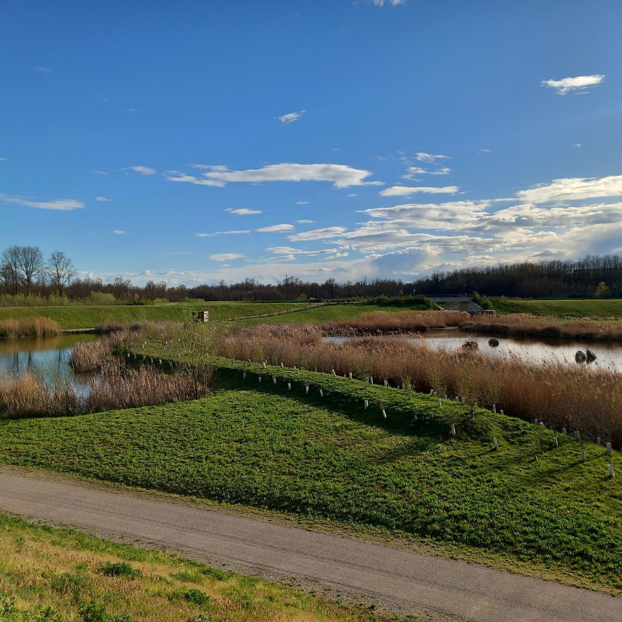
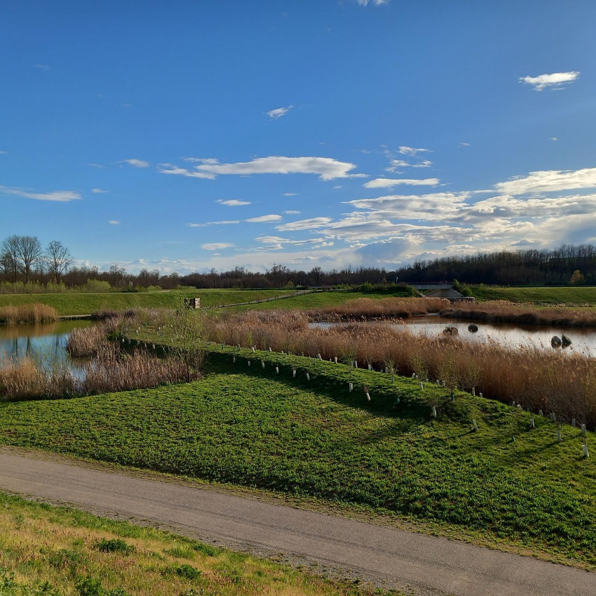
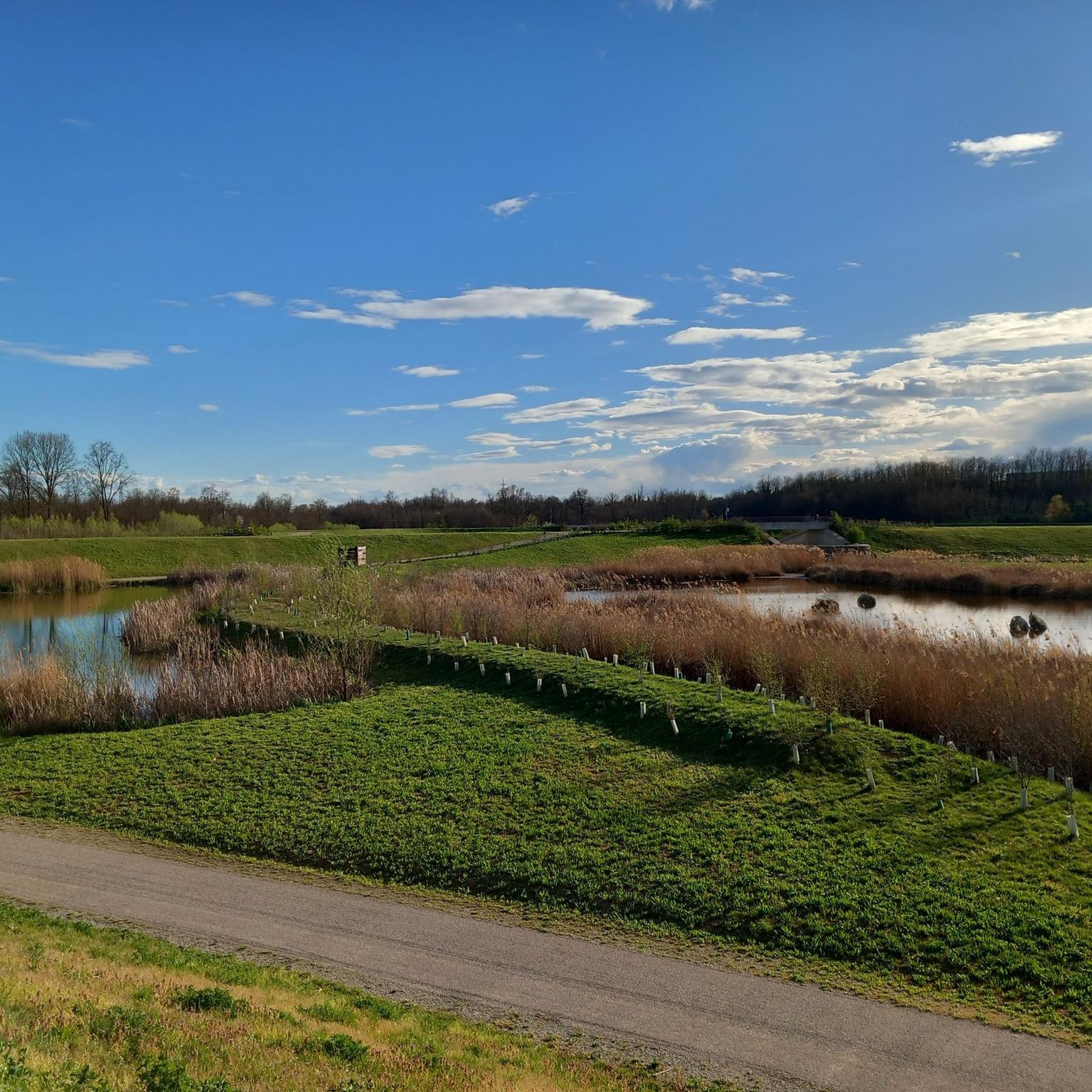
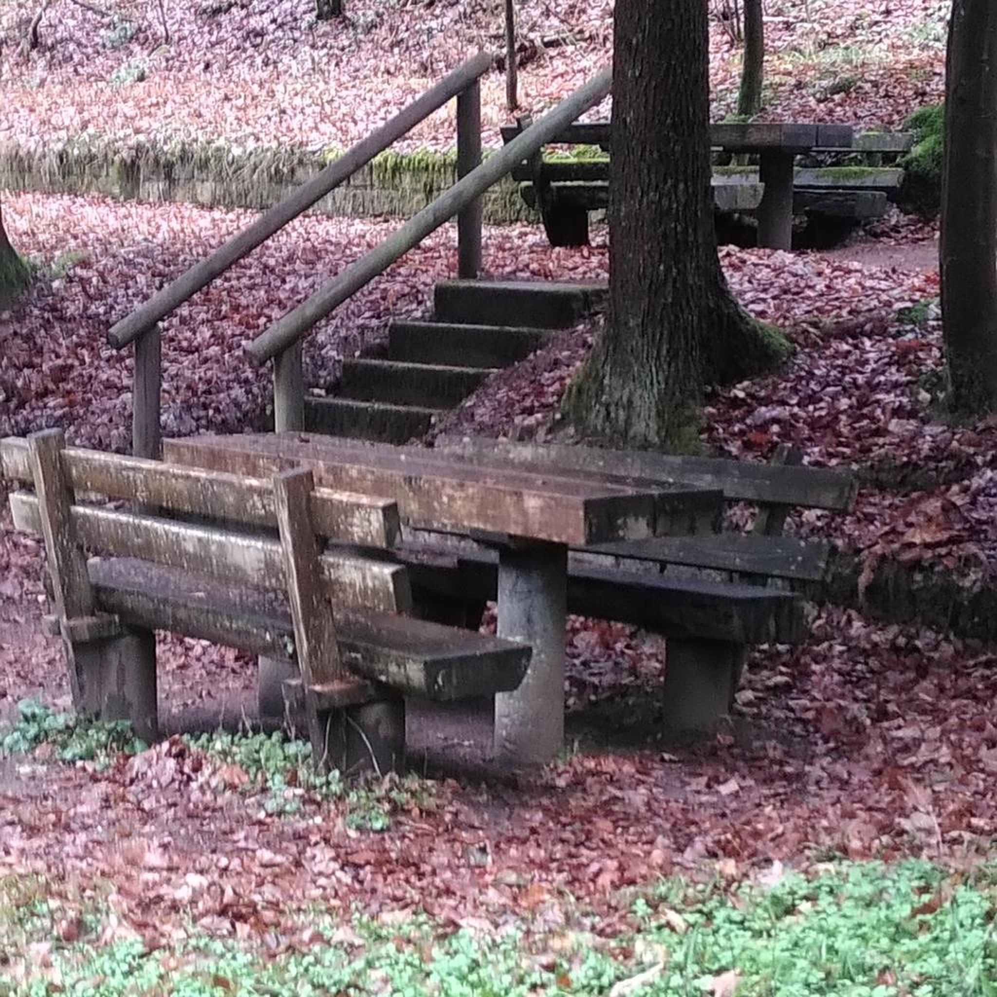

Tips from the Community

Every year in this country, the fate of the Giro di Lombardia, one of the most famous cycling races in Europe, is decided.
0
0

A nice place to stroll.
2
0

The climb to Alpe del Viceré from Albavilla is a classic ascent of the Larian Triangle. It measures about 5.4 km with an elevation gain of 465 meters and an average gradient of 8.5%. It features challenging sections with gradients up to 12%, followed by more rideable sections before the finish. Route details Start: Albavilla Centre (approx. 430 m a.s.l.). Finish: Alpe del Viceré Park (903 m a.s.l.). Average gradient: 8.5%. Maximum gradient: Approx. 12% (located around the 3rd kilometer).
0
0

Montorfano is a small village named after the mountain that overlooks it, a limestone outcrop so named because it rises isolated from the pre-Alpine mountain range behind it. Legend has it that the tears of the mountain, shed for its solitude, gave rise to a body of water, Lake Montorfano, one of the smaller lakes in Brianza.
0
0


Like Like Like Lungo Lago
1
0


nice climb with minimal training
1
0
Frequently Asked Questions
How many road cycling routes are available around Cermenate?
There are over 270 road cycling routes available around Cermenate, offering a wide range of options for different skill levels and preferences.
What kind of terrain can I expect on road cycling routes near Cermenate?
Road cycling routes around Cermenate feature a landscape of rolling hills and significant elevation changes, typical of the pre-alpine environment. You'll find a mix of open roads, forested sections, and routes connecting historic towns, often with sustained climbs and descents.
Are there road cycling routes suitable for beginners or those looking for an easier ride?
Yes, Cermenate offers 57 easy road cycling routes. While the region is known for its hilly terrain, these routes provide a less strenuous experience, allowing beginners to enjoy the scenery without overly challenging climbs.
What are some challenging road cycling routes for experienced riders?
Experienced riders will find 36 difficult routes around Cermenate. A notable challenging route is the View of Como – View of Lake Como from Palanzo loop from Cantù-Cermenate, which covers 37.9 miles (61.0 km) with over 1,000 meters of elevation gain, offering panoramic views of Lake Como.
What is the best time of year for road cycling in Cermenate?
The region's pre-alpine climate generally makes spring and autumn ideal for road cycling, with milder temperatures and vibrant landscapes. Summer can also be pleasant, especially in the mornings or late afternoons, though some climbs can be exposed to the sun. Winter cycling is possible but may require checking road conditions, especially at higher elevations.
Are there any scenic viewpoints or attractions along the road cycling routes?
Many routes offer stunning views, particularly of Lake Como. For example, the Panoramic view of Como from Brunate – Volta Lighthouse, Brunate loop from Cantù-Cermenate provides views towards Como and the iconic Volta Lighthouse. You can also explore nearby attractions like Lake Montorfano or historical sites such as Castello di Carimate.
Can I find loop trails for road cycling in Cermenate?
Yes, many road cycling routes in Cermenate are designed as loops, allowing you to start and finish at the same point. Examples include the San Fermo Descent – San Fermo della Battaglia loop from Carimate and the Carimate Castle – Alpe del Viceré Park loop from Carimate.
What do other road cyclists appreciate most about cycling in Cermenate?
The road cycling routes in Cermenate are highly rated by the komoot community, with an average score of 4.3 stars from over 340 reviews. Cyclists often praise the diverse terrain, the beautiful lake views, and the opportunity to connect historic towns through varied routes.
Are there any notable landmarks or castles to visit near the cycling routes?
Absolutely. The region is rich in history. You can find several castles, such as Castello di Carimate, Baradello Castle, and Castello Durini. Many routes pass close to these historical sites, offering opportunities for a cultural stop.
What is the typical length and duration of road cycling routes in this area?
Road cycling routes around Cermenate vary significantly. You can find shorter rides, but many popular routes range from 28 miles (45 km) to nearly 38 miles (61 km), typically taking between 2.5 to 3.5 hours to complete, depending on your pace and the elevation gain.
Are there any parks or natural areas accessible by road bike near Cermenate?
Yes, the region offers access to several natural areas. For instance, the Carimate Castle – Alpe del Viceré Park loop from Carimate takes you near Alpe del Viceré Park. Other highlights include Lura Park and the Groane Trail – Groane Park and the Briantea Heath, which offer natural landscapes to explore.
Most popular attractions around Cermenate

Get inspired with the komoot mobile app


Explore more
Browse the best Road cycling routes in other regions.
