The best running trails around Cittiglio
4.2
(367)
13,531
runners
359
runs
Jogging routes around Cittiglio offer a diverse range of terrain, from gentle river paths to more challenging ascents in the Lombard pre-Alps. The region is characterized by dense woods of beech, pine, and chestnut trees, with natural features like the Cascate di Cittiglio and the tranquil Boesio River. Situated within the Campo dei Fiori regional park, Cittiglio provides varied landscapes for runners, including routes leading to hills like Monte La Crocetta and offering views of Lake Maggiore.
Best jogging routes…
Last updated: August 21, 2026
10
runners
5.95km
01:04
340m
340m
Hard run. Very good fitness required. Sure-footedness, sturdy shoes and alpine experience required.
69
runners
Hard run. Very good fitness required. Sure-footedness, sturdy shoes and alpine experience required.

Sign up for free
30
runners
15.6km
02:33
920m
920m
Hard run. Very good fitness required. Sure-footedness, sturdy shoes and alpine experience required.
2.0
(1)
20
runners
18.5km
02:39
890m
890m
Hard run. Very good fitness required. Sure-footedness, sturdy shoes and alpine experience required.
10
runners
Hard run. Very good fitness required. Mostly paved surfaces. Suitable for all skill levels.
Get access to more routes and recommendations from other explorers.
Sign up for free
Already have an account?
Our route recommendations are based on thousands of hikes, rides, and runs completed by other people on komoot.
Start today with a free account
Your next adventure awaits.
Login or Signup
Tips from the Community

Passo S. Antonio Vararo / Cuvignone 1,036 m Passage at 1,036 meters above sea level From the South: Cittiglio to the North: Porto Valtravaglia About 200 hairpin bends on asphalt Strada Provinciale 8 https://stradedamoto.it/strade.asp?RicPas=4281
1
0
Passo del Monte Cuvignone Via Vararo, Cittiglio / Castelveccana VA The Cuvignone Pass (1,036 m above sea level) is a pass near Vararo, in the Varese area between Valcuvia and Luinese. In cycling, it is known for its demanding climb, which can be tackled from various sides (directly from Cittiglio or Castelveccana, or indirectly after climbing Sant'Antonio or crossing the San Michele Pass). It has been used for training since the time of Alfredo Binda (originally from the area) and offers particularly technical and demanding descents. Ivan Basso also trained there. The pass is also famous in the automotive world, as it has been the most selective timed section of the "ACI Varese Rally" since the 80s, today the "Rally dei Laghi". Even in motorsport, as in cycling, it has been tackled in all directions, and in all directions it has always stood out for its difficulty, consisting of fast sections, others slower but very technical, narrow hairpin bends uphill and downhill – all over a length of about 12/14 km at the discretion of the organizer. Text / Source: wikipedia.org/wiki/Passo_del_Cuvignone https://it.wikipedia.org/wiki/Passo_del_Cuvignone
1
0

Getting to the top is exciting.
0
0

beautiful view of the Sasso Ferro and the Varese and Sacromonte lake area
0
0


a classic from the Varese area. It's worth it.
1
0

Great view and the cable car is worth it, it's a great experience!
0
0

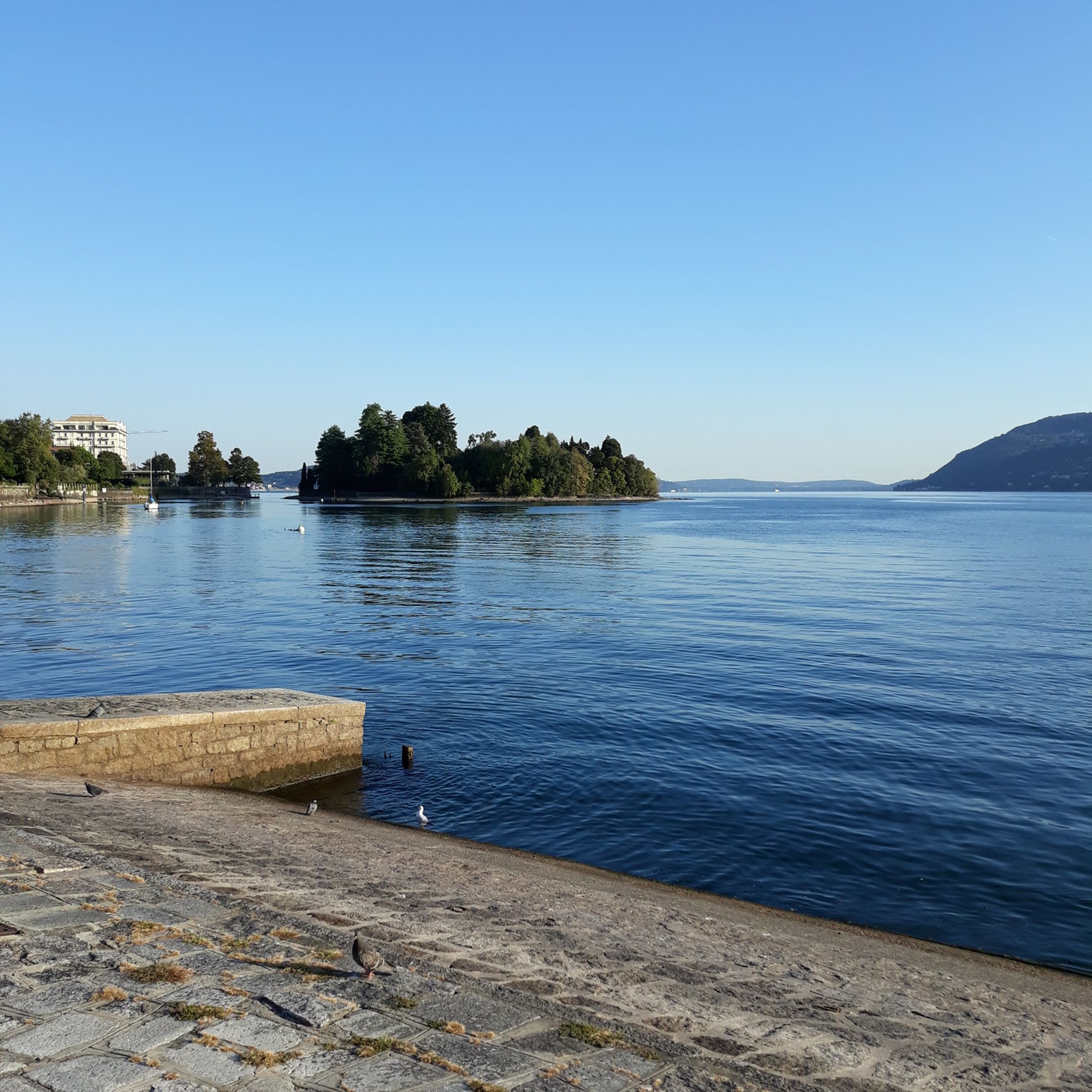
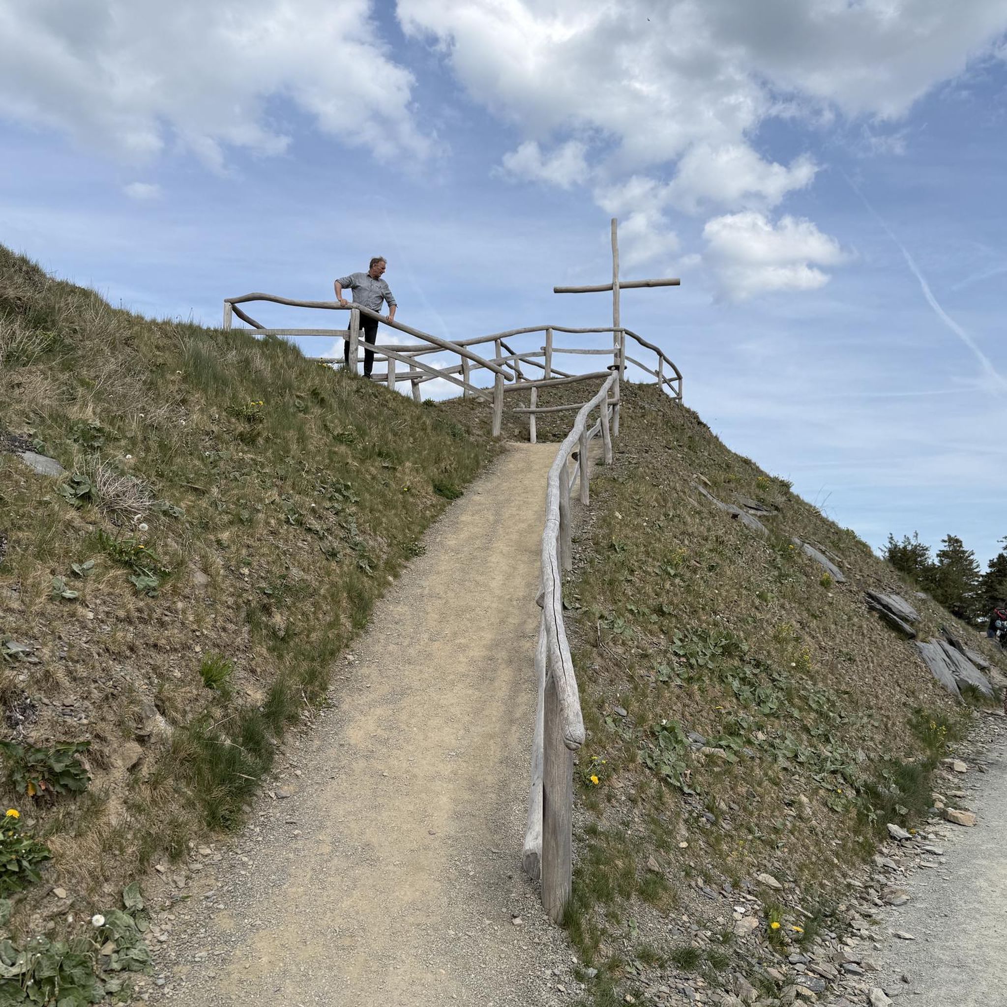
From the paths that climb up Mount La Crocetta there are fantastic views of Lake Maggiore.
0
0
Frequently Asked Questions
What kind of running terrain can I expect around Cittiglio?
Cittiglio offers a diverse range of running terrain. You'll find gentle, mostly paved paths along the tranquil Boesio River, winding through woods and cultivated fields. For those seeking more challenge, there are routes through dense beech, pine, and chestnut woods, and ascents into the Lombard pre-Alps, including trails leading to hills like Monte La Crocetta. The region is part of the Campo dei Fiori regional park, ensuring varied landscapes for all preferences.
Are there any easy or beginner-friendly running routes in Cittiglio?
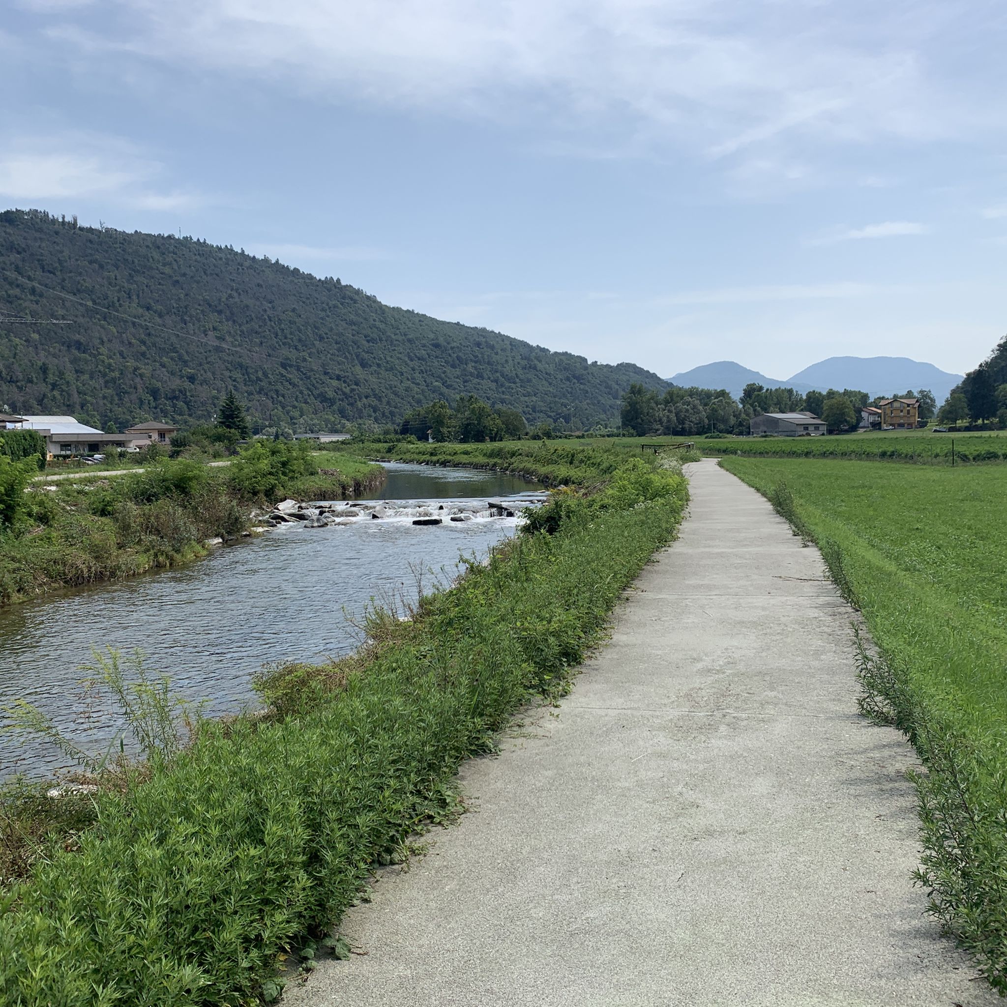
Yes, Cittiglio has several easy and beginner-friendly options. A notable one is the Views of Laveno-Mombello – Laveno-Mombello Waterfront loop from Laveno-Mombello, which is a moderate 10.2 km path with minimal elevation gain. The Cittiglio-Laveno Mombello Cycle/Pedestrian Path, though not a specific komoot route in the guide, is also an excellent easy option, being 5.3 km long, mostly paved, and with a low gradient, perfect for a relaxed jog away from traffic.
Where can I find challenging trail running routes near Cittiglio?
For a more challenging experience, Cittiglio and its surroundings offer several difficult routes. The Cuvignone Pass – Mount La Crocetta loop from Laveno Mombello Lago is a demanding 15.6 km path with significant elevation gain, providing a true test for experienced trail runners. Another option is the View of Lake Maggiore loop from Cittiglio, an 17.7 km trail leading through varied landscapes with panoramic views.
Are there any running routes that feature waterfalls?
Absolutely! The enchanting Cascate di Cittiglio (Cittiglio Waterfalls) are a significant natural attraction. While not a specific route in this guide, the initial part of the waterfalls is easily accessible via a short trail, offering a scenic backdrop for a refreshing jog. For a longer route that includes a waterfall, consider the difficult Laveno-Mombello Waterfront – Devil's Waterfall loop from Laveno Mombello Lago, a 15.5 km path.
What do other runners say about the trails in Cittiglio?
The running routes in Cittiglio are highly rated by the komoot community, with an average score of 4.1 stars from over 190 reviews. More than 8,400 runners have used komoot to explore Cittiglio's varied terrain, often praising the diverse landscapes, from tranquil river paths to challenging mountain ascents, and the rewarding views of the lakes and pre-Alps.
Are there any circular running routes in the area?
Yes, many of the popular running routes around Cittiglio are circular, allowing you to start and finish in the same location. For example, the challenging Monte la Crocetta – loop run is a 6.0 km trail with significant elevation gain. Another option is the View of Lake Maggiore loop from Cittiglio, offering panoramic views on a longer 17.7 km circuit.
Can I find running routes with scenic views of lakes or mountains?
Cittiglio's location provides excellent opportunities for scenic runs. The region is close to Lake Maggiore and Lake Varese, and many routes offer breathtaking panoramic views. The View of Lake Maggiore loop from Cittiglio is specifically designed for this, providing expansive vistas. Additionally, trails within the Campo dei Fiori regional park, such as those leading to Monte La Crocetta, offer rewarding mountain views of the Lombard pre-Alps.
Are there any family-friendly running paths suitable for all ages?
For families, the Cittiglio-Laveno Mombello Cycle/Pedestrian Path is an excellent choice. This 5.3 km path follows the Boesio River, is mostly paved, and has minimal elevation changes, making it suitable for all ages and fitness levels. It offers a pleasant and safe jogging experience away from traffic. While not a specific komoot route in this guide, it's a well-known local option.
What natural features or landmarks can I see along the running routes?
Along the running routes, you can encounter several natural features and landmarks. The Cascate di Cittiglio are a highlight, nestled within dense woods. The tranquil Boesio River flows alongside a dedicated path. You'll also find stunning views of Lake Maggiore and Lake Varese. For specific points of interest, consider visiting Lake Varese or the Laveno-Mombello Waterfront, which are accessible from various routes.
Are there any huts or restaurants near the running trails for a stop?
Yes, within the broader area around Cittiglio, you can find several huts and restaurants that could serve as a stop during or after your run. Options include Rifugio Monterosso, Pian delle Noci Hut, and the Restaurant Capanna Casa Alpina “Giulio de Grandi Adamoli”. These can provide a welcome break and refreshments, especially on longer routes in the mountainous terrain.
How many total running routes are there around Cittiglio?
There are over 260 running routes available around Cittiglio, catering to a wide range of abilities and preferences. This extensive network ensures that whether you're looking for an easy jog or a challenging trail run, you'll find plenty of options to explore the region's beautiful landscapes.
Most popular attractions around Cittiglio

Get inspired with the komoot mobile app


Explore more
Browse the best Running Trails & Routes in other regions.
