The best walks and hikes around Trimmis
4.6
(163)
1,763
hikers
29
hikes
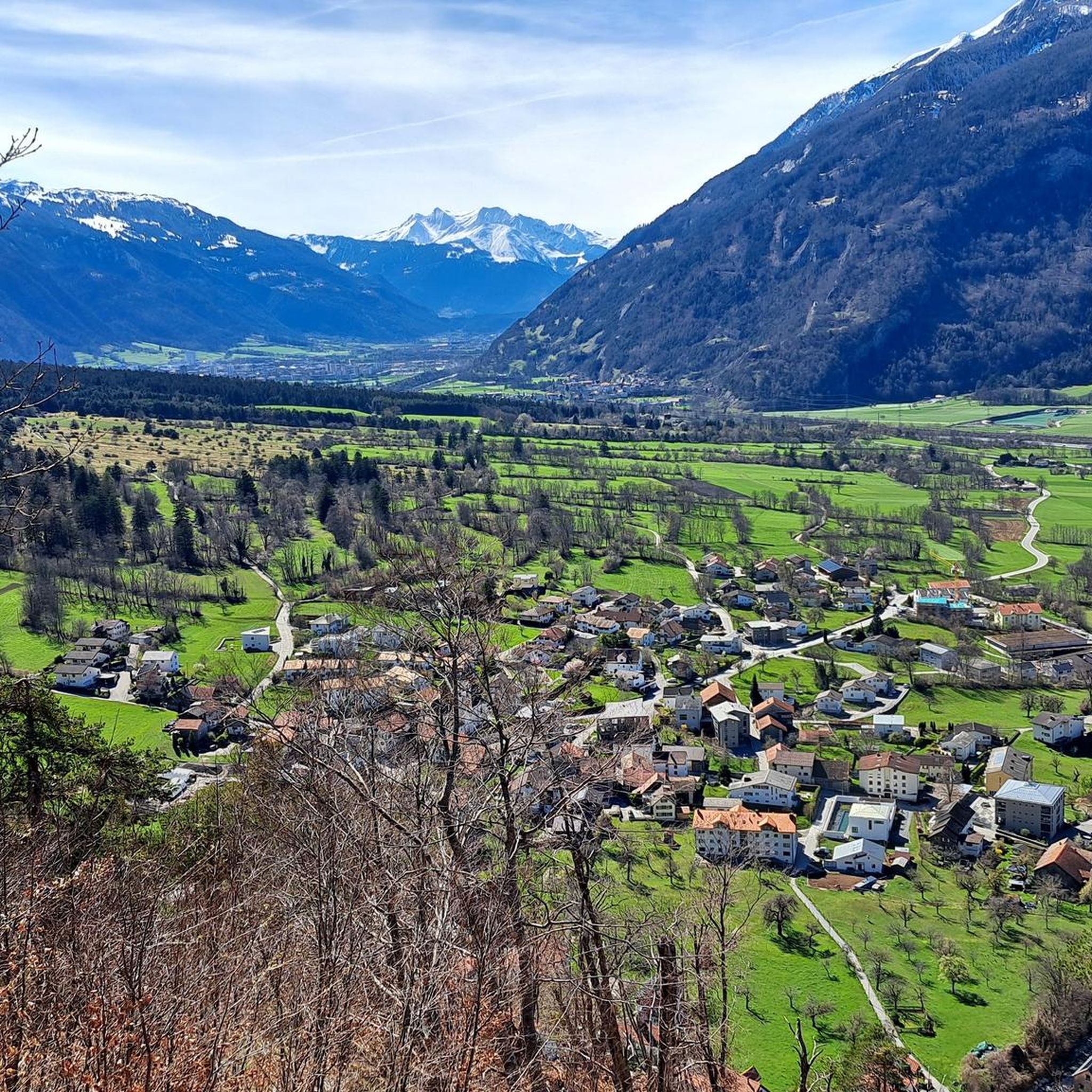
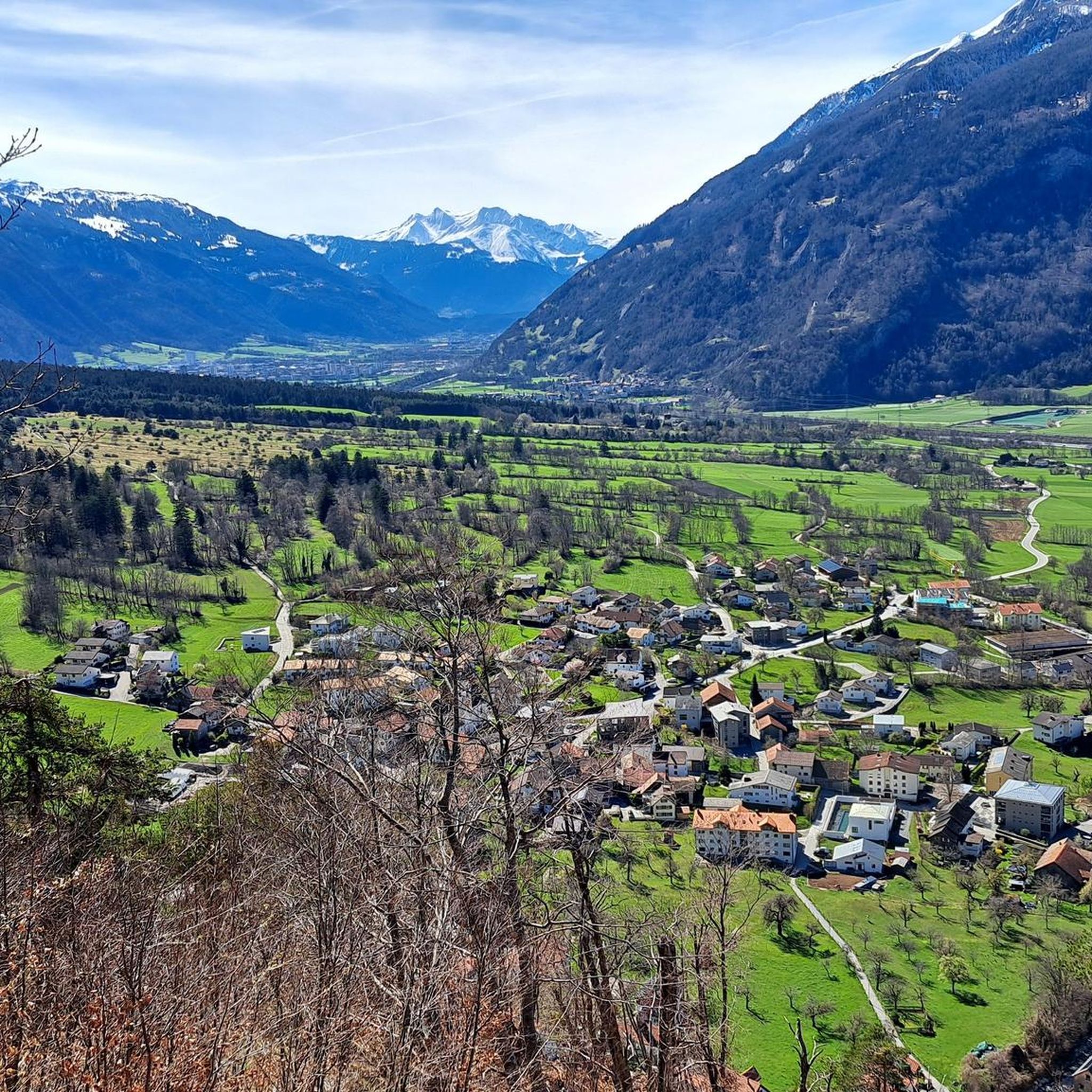
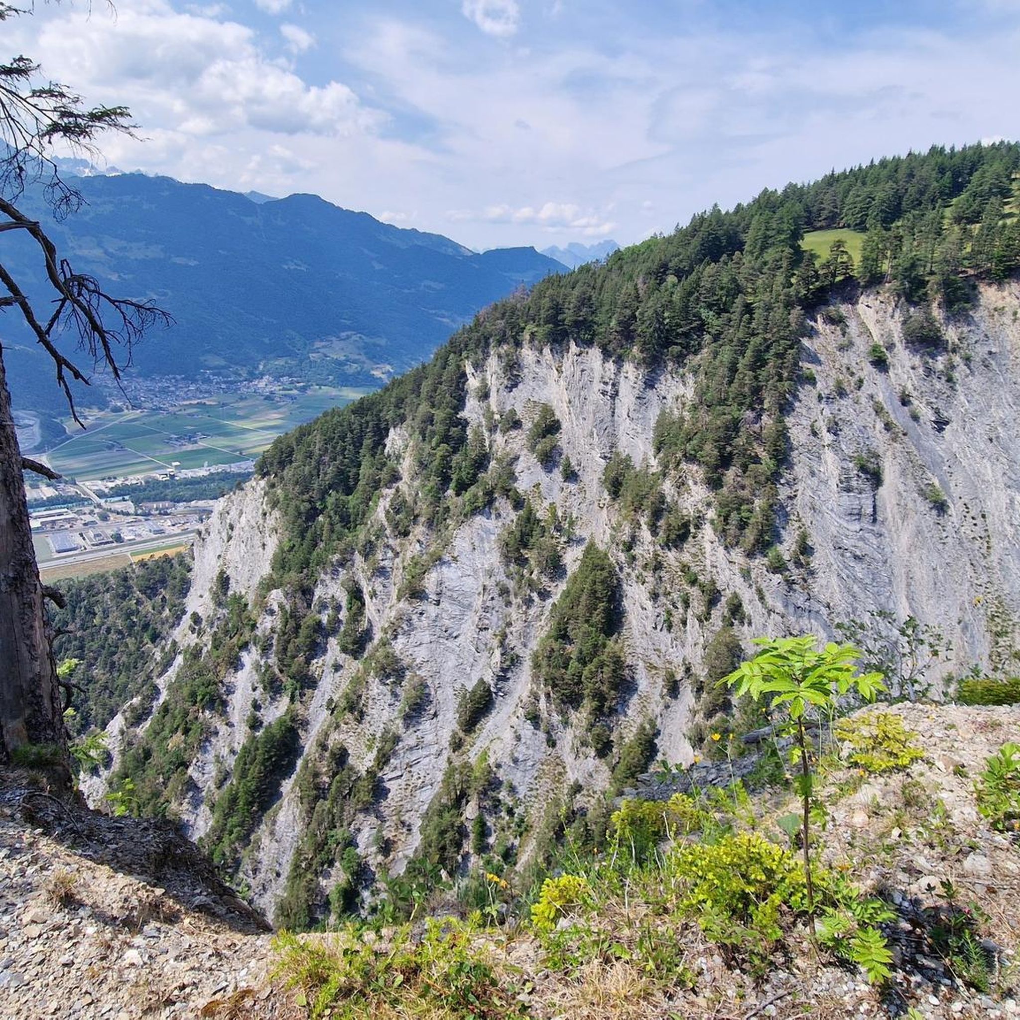
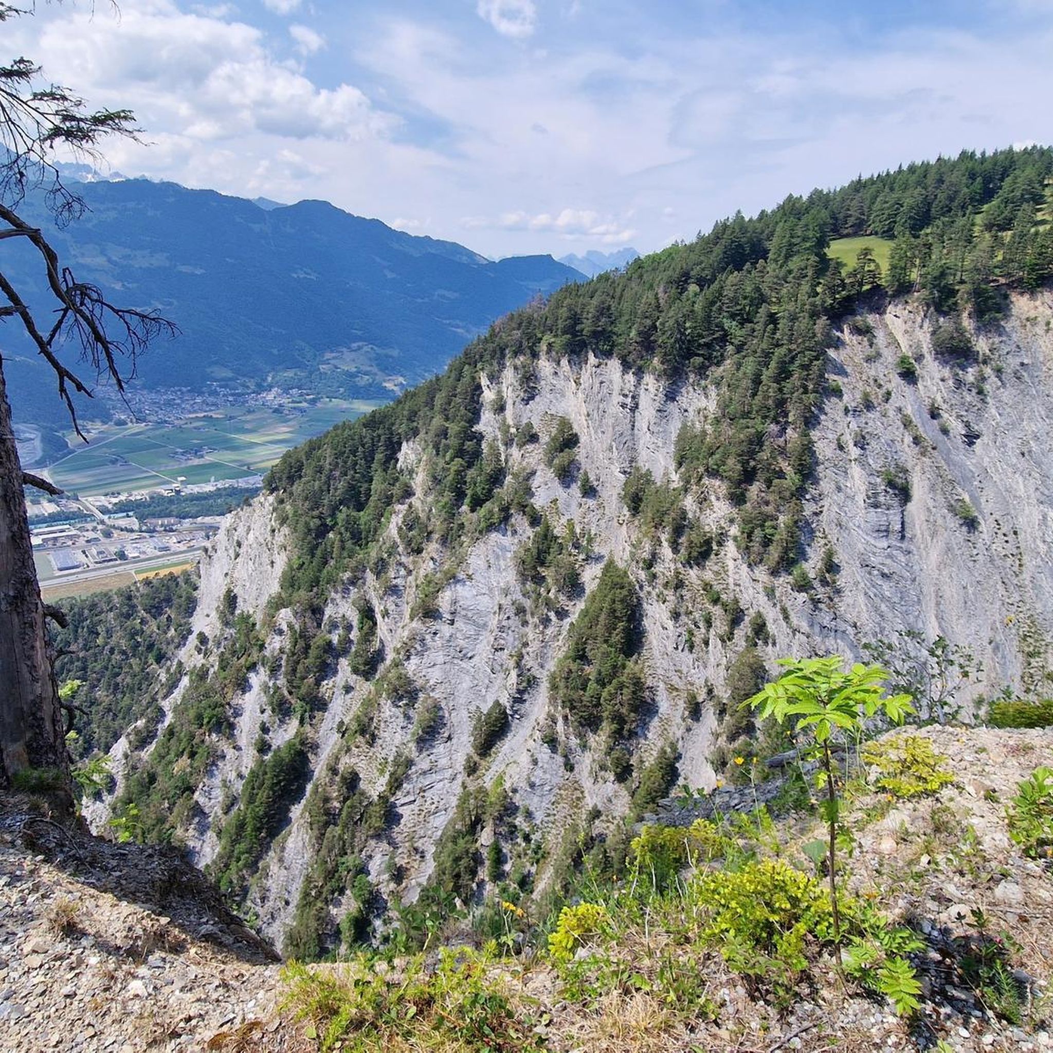
Hiking around Trimmis offers diverse trails from the valley floor to mountain peaks, providing varied outdoor experiences. The region features notable landscapes including the Witenen area with its dry stone walls and pastures, and views of prominent mountains like Calanda, Falknis, Vial, and Montalin. The Rhine River valley also provides accessible hiking options, while the Saysersee offers a tranquil mountain lake destination.
Best hiking trails around Trimmis
- The most popular hiking route is Wooden Bridge over Riverbed – Helsana Run loop from Trimmis, a 2.9 miles (4.7 km) trail that takes 1 hour 21 minutes to complete. This easy route features easily accessible paths suitable for any fitness level.
- Another top favourite among local hikers is Witenen Viewpoint (Trimmis) – Wooden Bridge over Riverbed loop from Trimmis, a moderate 4.7 miles (7.6 km) path. This trail leads through pastures, hedgerows, and forests, offering scenic views of the Witenen area.
- Local hikers also love the Walser Settlement, Stams – Saysersee loop from Says, a 7.6 miles (12.3 km) trail leading through the Saysersee, a tranquil mountain lake, often completed in about 4 hours 26 minutes.
- Hiking around Trimmis is defined by mountain views, the Rhine River valley, and the Witenen area. The network offers options for different ability levels, from easy valley walks to challenging mountain ascents.
- The routes in Trimmis are highly rated by the komoot community with an average score of 4.6 stars from over 140 reviews. More than 1500 hikers have used komoot to explore Trimmis's varied terrain.
Last updated: August 11, 2026
4.9
(7)
53
hikers
12.3km
04:27
710m
710m
Hard hike. Good fitness required. Sure-footedness, sturdy shoes and alpine experience required.
4.5
(2)
51
hikers
5.93km
01:31
20m
20m
Easy hike. Great for any fitness level. Easily-accessible paths. Suitable for all skill levels.

Sign up for free
4.3
(3)
58
hikers
Moderate hike. Good fitness required. Easily-accessible paths. Suitable for all skill levels.
5.0
(1)
20
hikers
7.54km
02:57
550m
550m
Hard hike. Good fitness required. Sure-footedness, sturdy shoes and alpine experience required.
5.0
(2)
23
hikers
7.72km
03:09
560m
560m
Moderate hike. Good fitness required. Mostly accessible paths. Sure-footedness required.
Get access to more routes and recommendations from other explorers.
Sign up for free
Already have an account?
Our route recommendations are based on thousands of hikes, rides, and runs completed by other people on komoot.
Start today with a free account
Your next adventure awaits.
Login or Signup
Tips from the Community

But be careful: the bridge is barely a meter wide!
0
0

A challenging climb with beautiful scenery and virtually no motorized traffic. However, it's only partially recommended for road bikes, as it's a dead end and the ruts in the concrete on the descent are annoying and spoil the fun.
0
0

Connection between Untervaz and Zizers. The footbridge is closed to traffic, so you have to push your bike.
1
0

Cool wooden bridge over the Maschänserrüfi.
1
0
You can park at the cemetery and then it takes about 50 minutes for fast runners
0
0

Kiosk closed. Apparently already winterized. 🙉🤷♂️
0
0

Self-service drinks, Twint or cash possible.
0
0
Frequently Asked Questions
How many hiking trails are available around Trimmis?
Trimmis offers a diverse network of over 25 hiking trails, catering to various preferences and fitness levels. You'll find everything from easy valley walks to more challenging mountain ascents.
What natural features or landmarks can I expect to see while hiking in Trimmis?
While hiking in Trimmis, you can explore the unique Witenen area, characterized by dry stone walls, pastures, and forests. Many trails offer magnificent views of prominent mountains such as the Calanda, Falknis, Vial, and Montalin. You can also discover the tranquil Saysersee, a beautiful small mountain lake, or enjoy walks along the Rhine River valley, for example, on the Bridge Over the Rhine loop from Untervaz.
Are there any historical sites or castles to explore near Trimmis?
Yes, the region around Trimmis is rich in history. You can visit several interesting sites, including the Episcopal Court, or explore the ruins of Neuenburg Castle and Wartenstein Castle, which offer glimpses into the past.
Are there easy, short walks suitable for beginners or families?
Absolutely. Trimmis has 11 easy routes perfect for beginners or families. An excellent option is the Wooden Bridge over Riverbed – Helsana Run loop from Trimmis, which is 2.9 miles (4.7 km) long and features easily accessible paths, typically taking just over an hour to complete.
Are there any challenging hikes for experienced trekkers?
For experienced hikers seeking a challenge, Trimmis offers 4 difficult routes. The Montalin, at 2266 meters, is a key attraction. Consider the Montalin 2,266 m – Gromser Peak loop from Ful Berg, which involves significant elevation gain and requires good fitness and sure-footedness.
Are there any circular hiking routes in Trimmis?
Yes, many of the trails in Trimmis are designed as loops, allowing you to start and end at the same point. Examples include the Wooden Bridge over Riverbed – Helsana Run loop and the Witenen Viewpoint (Trimmis) – Wooden Bridge over Riverbed loop, offering convenient options for exploration.
Can I bring my dog on the hiking trails in Trimmis?
Trimmis is generally dog-friendly, with many trails suitable for walks with your canine companion. However, it's always advisable to keep your dog on a leash, especially in areas with livestock or wildlife, and to check local signage for any specific restrictions.
What is the best time of year to go hiking in Trimmis?
Trimmis offers hiking opportunities throughout much of the year. Spring and autumn provide pleasant temperatures and beautiful scenery, while summer is ideal for higher-altitude trails. Some lower-lying paths may also be accessible for winter hiking, but always check local conditions and weather forecasts.
What do other hikers say about the trails in Trimmis?
The hiking routes in Trimmis are highly rated by the komoot community, with an average score of 4.6 stars from over 140 reviews. Hikers often praise the diverse terrain, from valley paths to mountain views, and the well-maintained trails that cater to various ability levels.
What are the parking options for hikers in Trimmis?
Parking availability varies depending on the specific trailhead. Many popular starting points for hikes in and around Trimmis, especially those near villages or local recreation areas, typically offer designated parking spaces. It's recommended to check the starting point of your chosen route for specific parking information.
Is public transport available to reach hiking trailheads in Trimmis?
Yes, Trimmis is well-connected by public transport, making it possible to reach many trailheads without a car. Local bus services often connect to various villages and starting points for hikes. Planning your route with public transport in mind can enhance your hiking experience.
Most popular attractions around Trimmis

Get inspired with the komoot mobile app


Explore more
Browse the best Hikes in other regions.
