The best walks and hikes around Acquaviva Collecroce
3.3
(7)
51
hikers
5
hikes
Hiking around Acquaviva Collecroce offers routes through a landscape characterized by rolling hills and distinctive badlands formations. The region features varied terrain, including agricultural areas and open vistas. These trails provide opportunities to explore the natural and cultural elements of the Molise countryside.
Best hiking trails around Acquaviva Collecroce
- The most popular hiking route is Calanchi di Montenero Loop, a 5.4 miles (8.7 km) trail that takes 2 hours 39 minutes to complete, offering views of the unique badlands. …
Last updated: July 5, 2026
3.7
(3)
22
hikers
8.72km
02:39
300m
300m
Moderate hike. Good fitness required. Easily-accessible paths. Suitable for all skill levels.
2.0
(1)
5
hikers
7.79km
02:12
170m
160m
Moderate hike. Good fitness required. Easily-accessible paths. Suitable for all skill levels.

Sign up for free
3.0
(1)
4
hikers
19.4km
05:46
590m
590m
Hard hike. Very good fitness required. Easily-accessible paths. Suitable for all skill levels.
3
hikers
Easy hike. Great for any fitness level. Easily-accessible paths. Suitable for all skill levels.
3
hikers
9.01km
02:48
350m
350m
Moderate hike. Good fitness required. Easily-accessible paths. Suitable for all skill levels.
Our route recommendations are based on thousands of hikes, rides, and runs completed by other people on komoot.
Start today with a free account
Your next adventure awaits.
Login or Signup
Popular around Acquaviva Collecroce
Tips from the Community


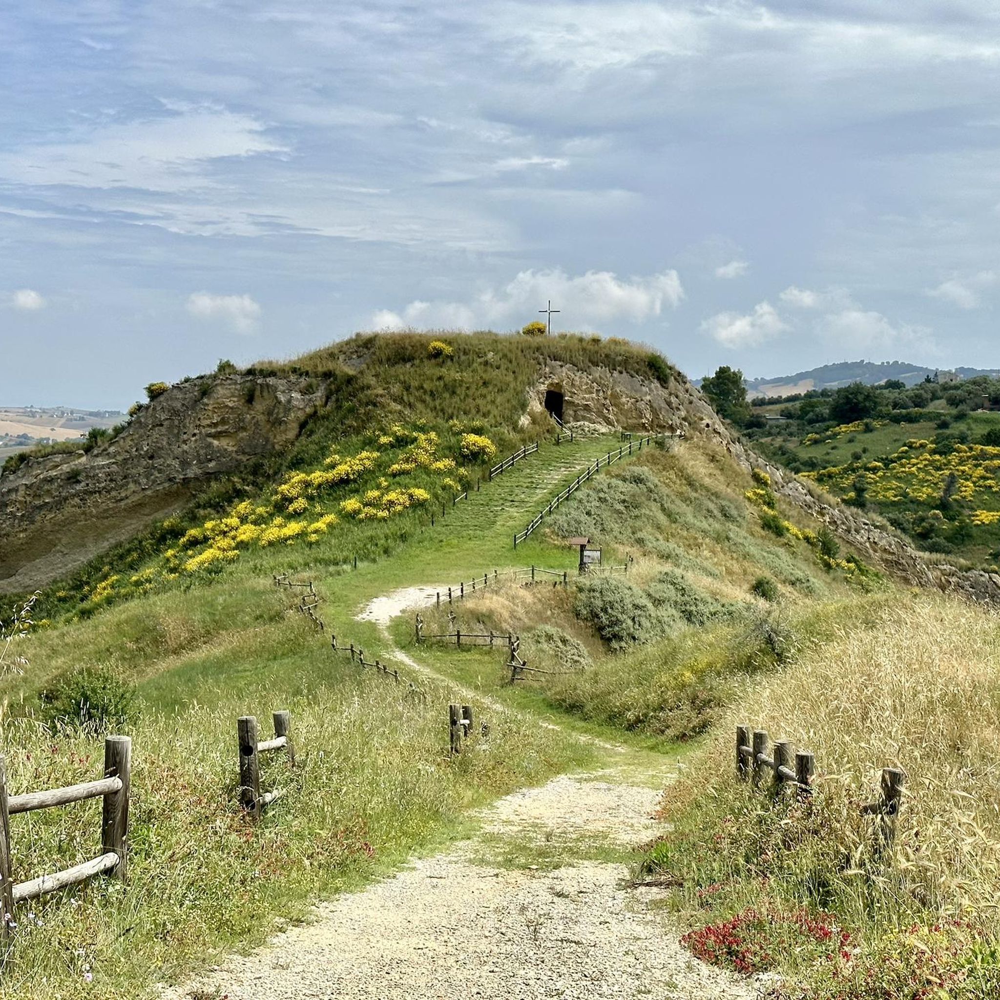
The cave of the Madonna di Bisaccia is a sacred place located in Bisaccia, a municipality in the province of Avellino, in Campania, Italy. The cave is dedicated to the Madonna and represents an important sanctuary and pilgrimage destination for the faithful. Inside there is a statue of the Madonna which attracts many visitors in search of spirituality and devotion.
1
0
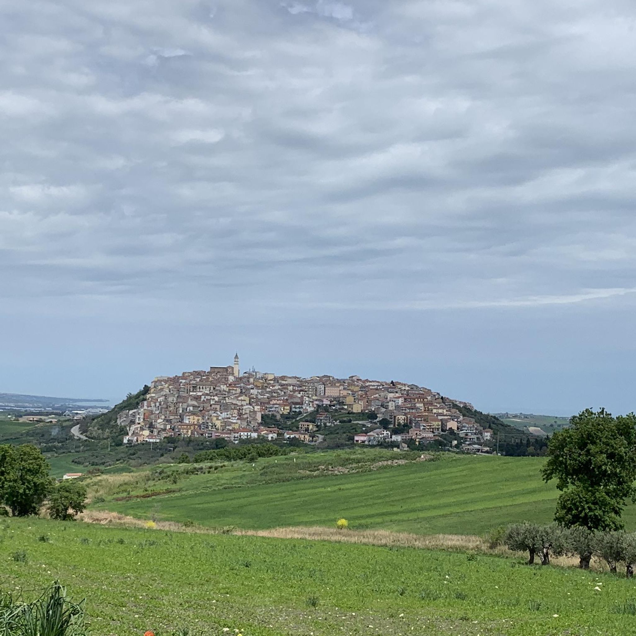
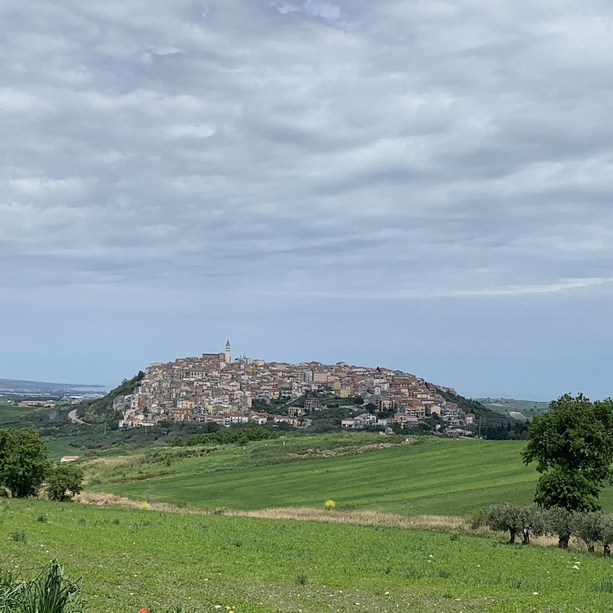
From this point it is possible to admire the view of the village of Calanchi di Montenero and Montenero di Bisaccia.
0
0
The Giovanni Boccardi Astronomical Observatory is located in the municipality of Monfalcone, in Italy. Named after Giovanni Boccardi, a famous Italian astronomer, the observatory is dedicated to the study and observation of celestial objects and phenomena. It plays a vital role in advancing astronomical research and education in the region. https://www.castelmauro.org/informazioni-generali.html
0
0
Civitacampomarano is a typical medieval village with narrow streets, stairways and an imposing Angevin Castle. The territory is characterized by overhanging gullies and gorges, fields of olive trees and wooded areas. https://www.viaggiomolise.it/civitacampomarano/
0
0

From this stretch of the provincial road you can enjoy the view towards the village of Montenero di Bisaccia and the Calanchi di Montenero, an area of about 120 hectares, where there are erosive forms created by the action of rainwater on the clayey soil. The area is a site of community interest (SIC), identified by the Ministry of the Environment for its naturalistic and landscape importance.
1
0
The cave of the Madonna di Bisaccia is a natural cavity located a few hundred meters from the Sanctuary of the Madonna di Bisaccia. It is an ancient sacred monument, where the first Christians who lived in the area gathered to venerate a Byzantine painting of the Madonna and Child, later transferred to the sanctuary.
1
0
The Celano-Foggia sheep track is one of the ancient transhumance routes and crosses central Italy from the mountains of Abruzzo to the plains of Puglia. Here it passes through the Trivento Wood and a wind farm consisting of a dozen wind turbines that characterize the landscape.
1
0
Frequently Asked Questions
What kind of terrain can I expect on hikes around Acquaviva Collecroce?
Hiking around Acquaviva Collecroce features a diverse landscape. You'll encounter rolling hills, agricultural fields, and the distinctive geological formations known as badlands. The trails often provide open vistas across the Molise countryside.
Are there any easy hiking trails suitable for beginners or families in Acquaviva Collecroce?
Yes, there are easy options available. For instance, the View of the badlands – View of the badlands loop from Montenero di Bisaccia is an easy 4.5 km trail that takes about 1 hour 21 minutes, offering panoramic views without significant challenge.
What are some notable landmarks or points of interest I can see while hiking in the area?
The region offers several interesting sights. You can explore the unique View of the badlands, visit the Cave of the Madonna di Bisaccia, or discover the historical Torre della Fara. The town of Montenero di Bisaccia is also a point of interest.
Are there any circular walks around Acquaviva Collecroce?
Yes, several routes are designed as loops. The Calanchi di Montenero Loop is a popular moderate option, and the The historic center of Larino – loop tour among the hills also offers a circular experience through historical areas.
What do other hikers say about the trails in Acquaviva Collecroce?
The trails in Acquaviva Collecroce are generally well-regarded by the komoot community, with an average rating of 3.5 stars. Hikers often appreciate the unique badlands formations and the peaceful, open landscapes.
How long do hikes typically take in Acquaviva Collecroce?
Hiking durations vary depending on the trail. You can find shorter walks like the View of the badlands – View of the badlands loop from Montenero di Bisaccia, which takes about 1 hour 21 minutes, to longer, more challenging routes such as the Civitacampomarano and Monte Andrea Loop, which can take nearly 6 hours.
Are there any challenging or difficult hikes in the region?
For those seeking a more strenuous experience, the Civitacampomarano and Monte Andrea Loop is classified as difficult. This route covers over 19 km with significant elevation gain, making it suitable for experienced hikers.
What is the best time of year to go hiking in Acquaviva Collecroce?
The Molise region, where Acquaviva Collecroce is located, generally offers pleasant hiking conditions in spring and autumn, when temperatures are mild. Summer can be hot, especially in open areas, while winter might bring cooler temperatures and occasional rain, though snow is less common at lower elevations.
Are there any hikes that pass through historical areas?
Yes, the The historic center of Larino – loop tour among the hills is a moderate trail that specifically winds through historical areas and rolling hills, offering a blend of nature and cultural exploration.
How many hiking trails are available in Acquaviva Collecroce?
Komoot features a selection of 5 hiking routes around Acquaviva Collecroce, catering to various difficulty levels from easy to difficult.
Are there any trails that offer views of the badlands?
Absolutely. The region is known for its badlands formations. The Calanchi di Montenero Loop and the View of the badlands – View of the badlands loop from Montenero di Bisaccia are excellent choices for experiencing these unique geological features.
Most popular routes around Acquaviva Collecroce
Most popular attractions around Acquaviva Collecroce

Get inspired with the komoot mobile app


Explore more
Browse the best Hikes in other regions.
