The best road cycling routes around Altilia
5.0
(1)
102
riders
14
rides
Road cycling routes around Altilia are characterized by the mountainous terrain of Italy's Calabria region, offering a dynamic environment for cyclists. The town itself is situated on a rocky spur in the Savuto valley, providing varied topography with significant ascents and descents. The region features a mix of challenging climbs towards peaks like Monte Mancuso and scenic routes through valleys, with elevations ranging from around 594 meters (1,949 ft) in Altilia to over 1,300 meters (4,265 ft) in surrounding mountains.
…Last updated: July 2, 2026
26
riders
61.3km
03:28
1,350m
1,350m
Hard road ride. Very good fitness required. Mostly well-paved surfaces and easy to ride.
15
riders
64.9km
03:38
1,370m
1,370m
Hard road ride. Very good fitness required. Mostly well-paved surfaces and easy to ride.

Sign up for free
11
riders
28.2km
01:36
630m
630m
Moderate road ride. Good fitness required. Mostly well-paved surfaces and easy to ride.
6
riders
76.3km
04:09
1,550m
1,550m
Hard road ride. Very good fitness required. Mostly well-paved surfaces and easy to ride.
6
riders
52.6km
03:10
1,280m
1,280m
Hard road ride. Very good fitness required. Mostly well-paved surfaces and easy to ride.
Get access to more routes and recommendations from other explorers.
Sign up for free
Already have an account?
Our route recommendations are based on thousands of hikes, rides, and runs completed by other people on komoot.
Start today with a free account
Your next adventure awaits.
Login or Signup
Popular around Altilia
Tips from the Community

Lorica, the pearl of Sila
0
0

There's a parking lot in front of the National Museum, which is a good starting point for exploring the old town. It also offers a great view of the mountains. A visit to the museum is also worthwhile.
0
0

The westernmost village on Lake Arvo, splendid roads that cross the agricultural Sila.
0
0

Lorica, located right on the shore of the lake, is a convenient base for trips. It is a small town with several cafes and service points where you can take a break after a ride or walk. There are also several easy and well-marked hiking trails in the area, which allow for leisurely walks in the forest or along the shore.
1
0
Lake Arvo is a natural centre of outdoor activities in the Sila National Park. Around the lake there are good quality asphalt roads, which are great for cycling - both recreational and more demanding. The routes are varied in length and difficulty, so everyone will find something for themselves. For example, the "Anello Lago Arvo" route is a classic loop recommended in local guides, recommended in spring and summer. Along the way you pass places such as: Camping Lago Arvo, the dam (Diga Nocelle), Rovale, Scarda, Pino Collito and other picturesque corners.
1
0
Starting point for many adventures, not only by bike
1
0

Tourist resort with its beautiful lake in the Sila national park. Not to be missed
0
0
Lorica comes alive especially in summer thanks to the many activities on the lake
2
0
Frequently Asked Questions
What kind of terrain can I expect on road cycling routes around Altilia?
The region around Altilia is characterized by its mountainous terrain, offering a dynamic environment with significant ascents and descents. You'll find routes through the scenic Savuto Valley and challenging climbs towards peaks like Monte Mancuso, with elevations ranging from Altilia's 594 meters (1,949 ft) to over 1,300 meters (4,265 ft) in the surrounding mountains.
Are there road cycling routes suitable for beginners or those looking for an easier ride?
While many routes around Altilia are classified as difficult due to significant elevation changes, there is at least one moderate option available. For example, the Lago Village – Lago Village loop from Lago is a 36.3 km (22.6 miles) route with a moderate difficulty, offering a less strenuous experience while still enjoying the region's beauty.
What historical landmarks or natural features can I see along the road cycling routes?
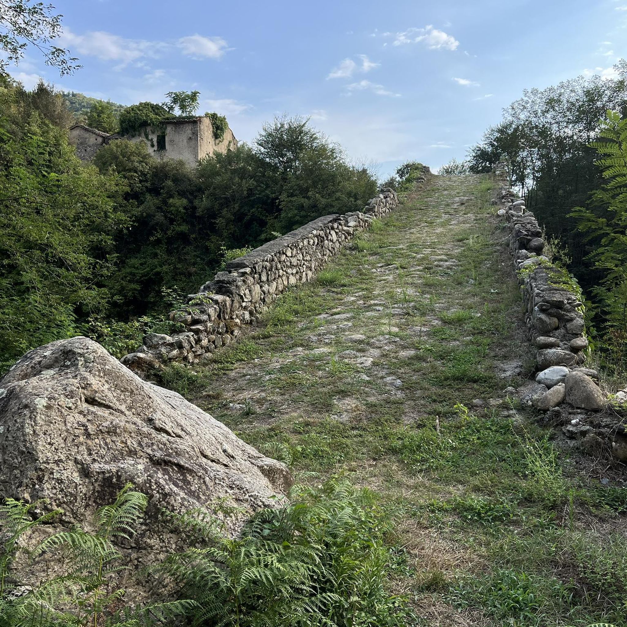
Road cycling routes around Altilia offer a chance to explore several historical and natural attractions. You might encounter ancient structures like the Tavolaria Bridge, a historical bridge built in 1592. The majestic Angevin Castle of Savuto also rises over a nearby village, providing a scenic backdrop or destination. For nature lovers, Parco Bombarda and Monte Mancuso offer natural oases with dense forests and peaks.
Are there any long-distance road cycling routes for experienced cyclists?
Yes, for experienced cyclists seeking a significant challenge, the region offers longer routes. The Lake Ampollino – Lago Ampollino Dam loop from Piano Lago is a substantial 116.6 km (72.5 miles) route with over 2,100 meters of elevation gain, typically taking over 6 hours to complete. This route leads through diverse and demanding terrain.
What is the best time of year for road cycling in Altilia?
Given Altilia's mountainous terrain and Mediterranean climate, spring and early autumn are generally the most pleasant seasons for road cycling. Temperatures are milder, and the landscapes are vibrant, making for ideal conditions to tackle the ascents and descents without the intense heat of summer or the chill of winter.
Can I find circular road cycling routes around Altilia?
Yes, many of the road cycling routes around Altilia are designed as loops, allowing you to start and finish in the same location. Examples include the challenging Chiesa della Provvidenza – Mural in Falerna loop from Casermetta Guardie Forestali Falerna and the scenic Great view on the top of the mountain – Soveria Mannelli Town Center loop from Conflenti.
Are there any road cycling routes that offer views of castles or other historical sites?
Absolutely. The Castello di Aiello Calabro loop from Mangone is a difficult 57.6 km (35.8 miles) route that features significant elevation changes and provides views of historical sites, including the Castello di Aiello Calabro. Cycling through the region often brings you close to charming medieval towns and ancient structures.
What are the typical elevation gains on road cycling routes in this area?
Road cycling routes around Altilia are known for their significant elevation gains due to the mountainous landscape. Many difficult routes feature over 1,000 meters (3,280 ft) of ascent, with some longer routes exceeding 2,000 meters (6,560 ft) of climbing, such as the Lake Ampollino – Lago Ampollino Dam loop from Piano Lago.
Are there options for road cyclists looking for scenic routes?
The entire region surrounding Altilia is immersed in green and surrounded by mountains, offering picturesque views. Routes through the Savuto Valley provide stunning vistas, and climbs towards higher elevations often reward cyclists with panoramic views of the diverse landscapes, including dense forests and charming towns.
How many road cycling routes are available around Altilia?
There are several road cycling routes available around Altilia, with a total of 7 routes documented on komoot. These routes cater primarily to moderate and difficult ability levels, offering a range of distances and challenges for road cyclists.
Can I find cafes or accommodation along the road cycling routes?
While specific cafes or accommodations are not detailed for each route, Altilia itself is a charming town with an urban environment, and you can expect to find local amenities such as cafes, restaurants, and accommodation options within the town and in other villages you pass through. Planning your route to include stops in these towns is recommended for refreshments and breaks.
Most popular routes around Altilia
Most popular attractions around Altilia

Get inspired with the komoot mobile app


Explore more
Browse the best Road cycling routes in other regions.
