The best cycling routes around Gerola Alta
4.5
(673)
8,441
riders
106
rides
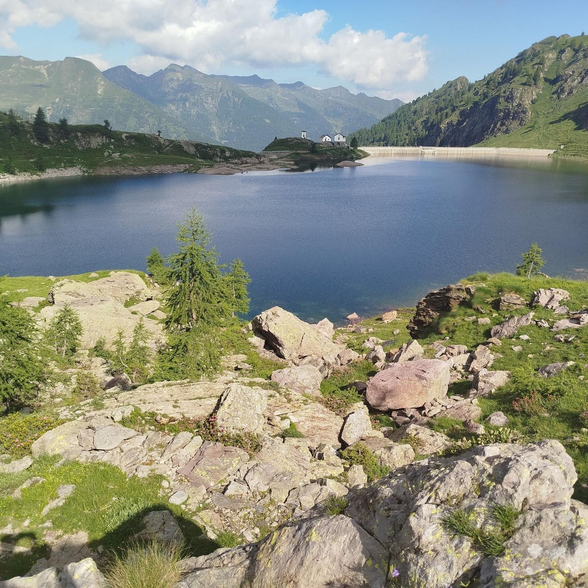
Touring cycling routes around Gerola Alta traverse glacial valleys and towering summits within the Orobie Valtellinesi Regional Park. The region features a varied landscape with elevations ranging from lower broadleaf forests to higher spruce and beech woods, eventually leading to alpine meadows and rocky peaks. Cycling paths often follow pristine rivers and pass by Alpine lakes such as Lago di Pescegallo and Lago di Trona. The terrain offers a dynamic cycling experience with significant changes in elevation.
Best touring cycling routes around Gerola Alta
- The most popular touring cycling route is Campo Tartano from Morbegno, a 23.9 miles (38.4 km) trail that takes 3 hours 2 minutes to complete. This difficult route includes notable climbs and varied terrain.
- Another top favourite among local touring cyclists is Valtellina Trail and Monte Scermendone Loop, a difficult 31.7 miles (51.1 km) path. This route offers extensive views across the landscape, combining trail and mountain scenery.
- Local touring cyclists also love the Sentiero Valtellina Cycle Path – Valtellina Trail loop from Morbegno, a 25.9 miles (41.7 km) trail leading through the Valtellina valley, often completed in about 2 hours 27 minutes.
- Touring cycling around Gerola Alta is defined by glacial valleys, lush pine forests, and Alpine lakes. The network offers options for different ability levels, from moderate paths to difficult mountain ascents.
- The routes in Gerola Alta are highly rated by the komoot community with an average score of 4.6 stars from over 800 reviews. More than 9000 touring cyclists have used komoot to explore Gerola Alta's varied terrain.
Last updated: July 5, 2026
19
riders
21.9km
01:48
690m
690m
Hard bike ride. Very good fitness required. Mostly paved surfaces. Suitable for all skill levels.
18
riders
21.0km
02:24
880m
890m
Hard bike ride. Very good fitness required. You may need to push your bike for some segments of this route.

Sign up for free
16
riders
34.0km
03:09
1,120m
1,120m
Hard bike ride. Very good fitness required. Mostly paved surfaces. Suitable for all skill levels.
14
riders
32.2km
02:08
490m
490m
Hard bike ride. Very good fitness required. Mostly paved surfaces. Suitable for all skill levels.
10
riders
116km
09:23
3,400m
3,400m
Hard bike ride. Very good fitness required. Mostly paved surfaces. Suitable for all skill levels.
Get access to more routes and recommendations from other explorers.
Sign up for free
Already have an account?
Our route recommendations are based on thousands of hikes, rides, and runs completed by other people on komoot.
Start today with a free account
Your next adventure awaits.
Login or Signup
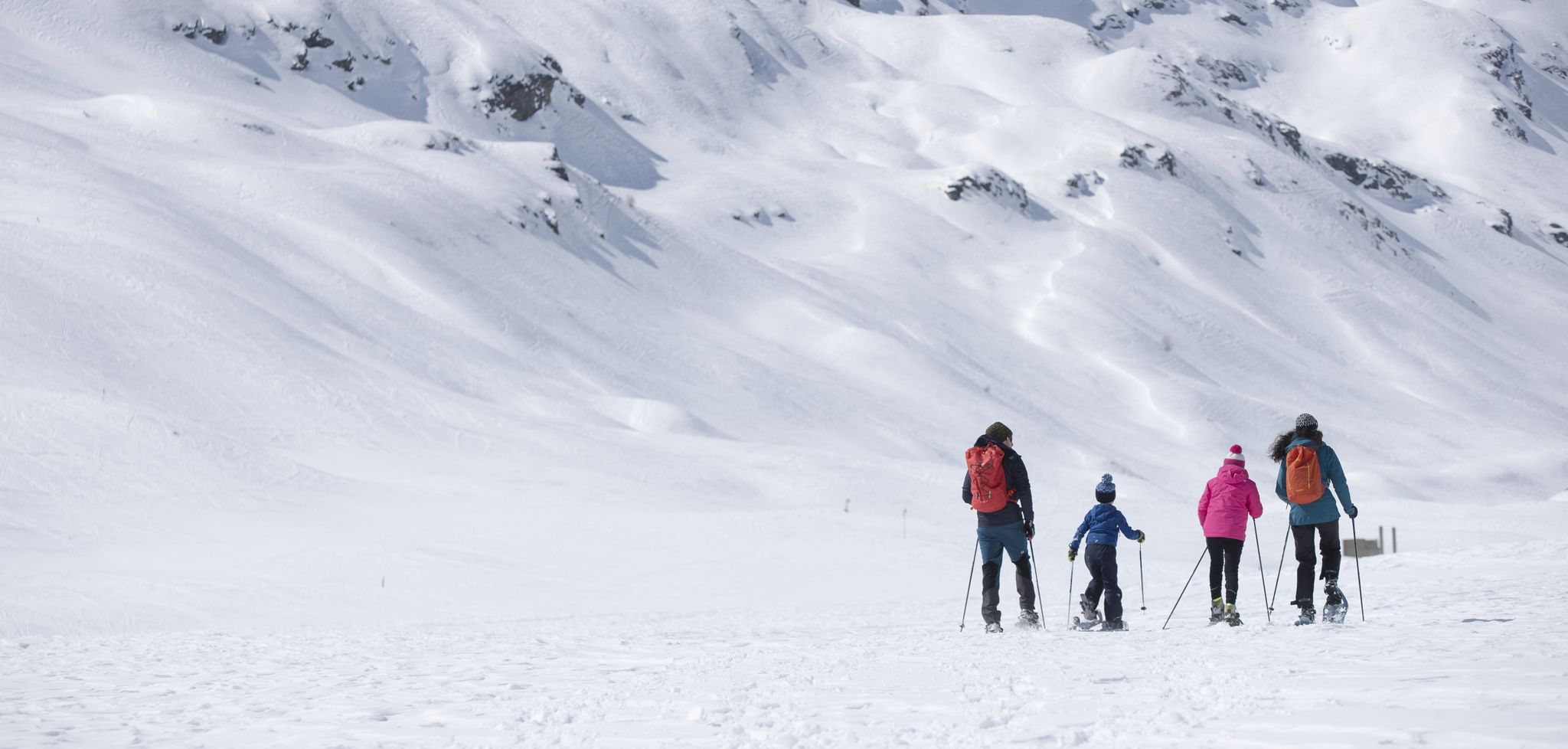
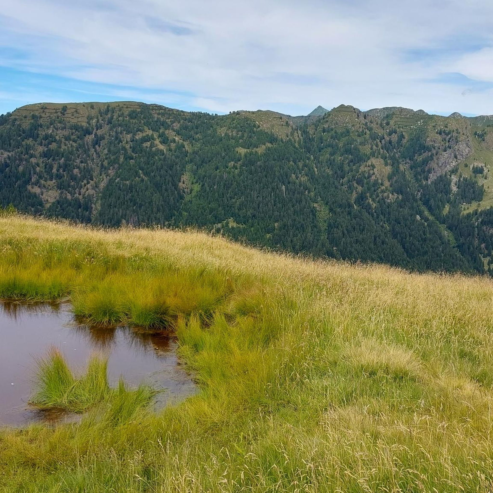
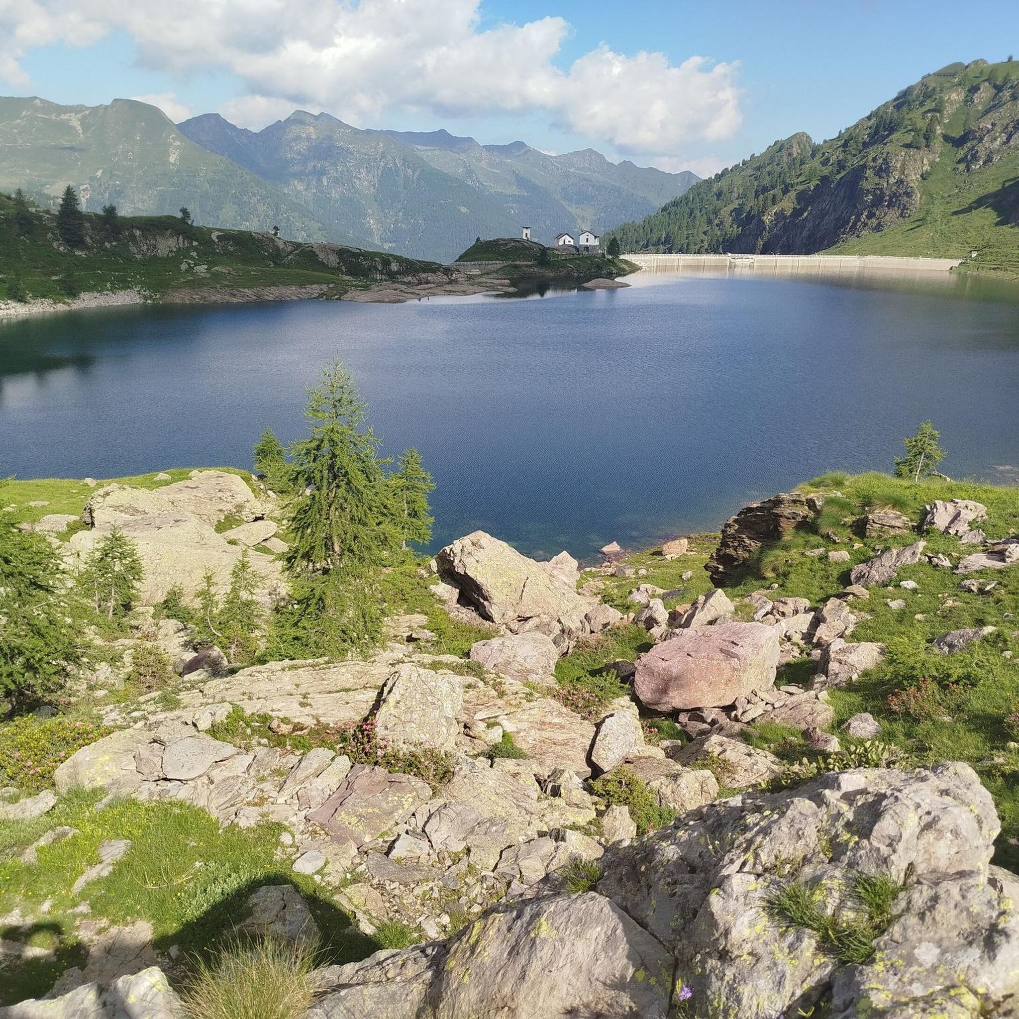
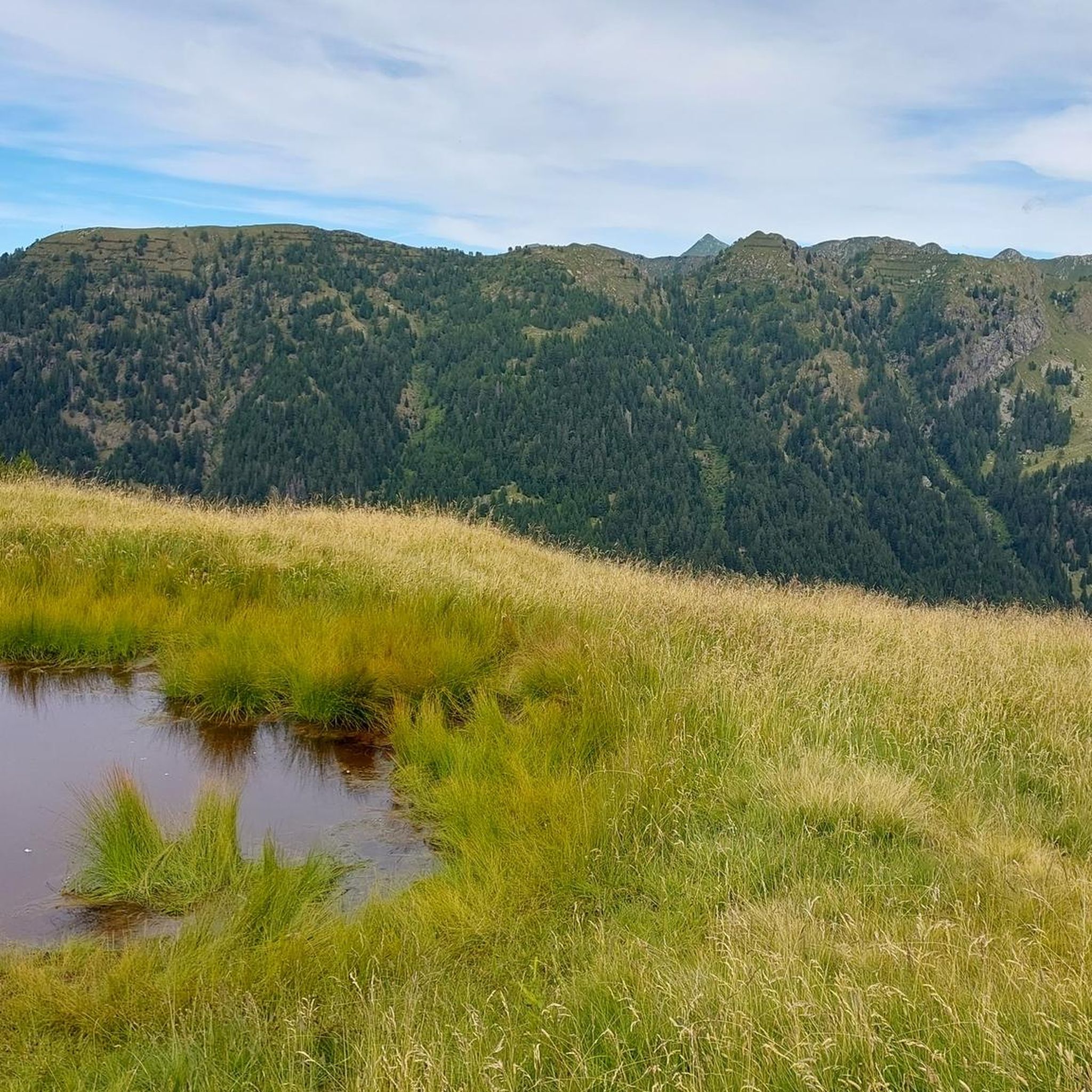

Other adventures around Gerola Alta

Tips from the Community

Typical mountain hut at the foot of the ski lifts
0
0

Chiesetta dei Piani di Bobbio
0
0
Rifugio Lecco, magnificent views from Piani di Bobbio
0
0


In all tunnels of the cycle way of Val Brembana you should have appropriate lights as they are quite dark. In addition the best option is to have photochromatic glasses as entering in sunglasses can be dangerous as you see almost nothing. The road quality in each tunnel is quite good, but it is usually wet due to water infiltration. During summer the cool temperatures inside are to be enjoyed, but in other seasons it is cold there, so you have to be prepared with suitable clothing.
0
0
entrance to the inhabited area of Cassiglio
0
0

We passed by it during our excursion but it was closed
0
0
Another refuge we encountered during our excursion and here too we didn't stop but we saw many people at the refuge
0
0
Frequently Asked Questions
How many touring cycling routes are available around Gerola Alta?
There are over 100 touring cycling routes in the Gerola Alta region, offering a wide range of options for different skill levels and preferences. The komoot community has highly rated these routes, with an average score of 4.6 stars from over 800 reviews.
What kind of terrain can I expect on touring cycling routes in Gerola Alta?
The terrain around Gerola Alta is diverse, featuring glacial valleys, towering summits, and elevations ranging from lower broadleaf forests to higher spruce and beech woods, eventually leading to alpine meadows and rocky peaks. Routes often follow pristine rivers and pass by Alpine lakes, providing a dynamic cycling experience with significant changes in elevation.
When is the best time of year for touring cycling in Gerola Alta?
The best time for touring cycling in Gerola Alta is typically from late spring through early autumn (May to October). During these months, the weather is generally more favorable, and the high-altitude areas and mountain huts are more accessible. The region's diverse landscapes, from forests to alpine meadows, are particularly beautiful during these seasons.
Are there touring cycling routes suitable for beginners or families in Gerola Alta?
Yes, Gerola Alta offers routes suitable for various skill levels. There are 19 easy and 28 moderate touring cycling routes available. For a more relaxed experience, consider the Sentiero Valtellina Cycle Path – Valtellina Trail loop from Morbegno, which is a moderate 25.9-mile (41.7 km) trail through the Valtellina valley.
What are some challenging touring cycling routes for experienced cyclists in Gerola Alta?
For experienced cyclists seeking a challenge, Gerola Alta has 55 difficult touring cycling routes. Notable options include Campo Tartano from Morbegno, a 23.9-mile (38.4 km) route with significant climbs, and the Valtellina Trail and Monte Scermendone Loop, a difficult 31.7-mile (51.1 km) path offering extensive views.
Can I find circular touring cycling routes around Gerola Alta?
Yes, there are several circular touring cycling routes in the Gerola Alta area. An example is the Passo San Marco Monument – San Marco Pass loop from Passo San Marco, a challenging 34.2-mile (55 km) route that takes you through stunning mountain scenery. Another option is the Pass Bridge – Valtellina Trail loop from Morbegno, a moderate 30.2-mile (48.6 km) trail.
What natural features or landmarks can I see while touring cycling in Gerola Alta?
The region is rich in natural beauty. You can cycle alongside pristine rivers and past Alpine lakes such as Lago di Pescegallo, Lago di Trona, Lago Rotondo, and Lago d'Inferno. Notable peaks like Pizzo dei Tre Signori and Monte Legnone offer dramatic backdrops. You might also encounter impressive gorges, such as the Gully of Trail 108 or the Biandino Valley.
Are there any cultural or historical sites accessible by touring bike in the Gerola Alta area?
Yes, Gerola Alta and its surroundings offer cultural and historical points of interest. You can explore the Ecomuseum of Valgerola in Gerola Alta to learn about local Alpine farming culture. Other sites include the 15th-century 'camera picta' frescoes in Sacco and historical churches like the Church of San Bartolomeo. High-altitude villages like Gerola Alta itself (at 1,050 meters) and Pescegallo (1,425-1,450 meters) also provide insights into local life and architecture.
Are there mountain huts or places to stop for refreshments along the touring cycling routes?
Yes, several mountain huts are accessible by bicycle, offering resting points or overnight stays. The Riva Hut and Nicola Hut are examples. The Passo San Marco 2000 Mountain Hut is another option located near the Passo San Marco. These huts provide opportunities for refreshments and to experience the mountain environment.
What do other touring cyclists enjoy the most about touring cycling in Gerola Alta?
The area is highly rated by the komoot community, with an average score of 4.6 stars. Reviewers often praise the stunning natural landscapes, the diverse terrain that offers dynamic cycling experiences, and the network of routes that cater to various skill levels. The combination of glacial valleys, lush forests, and Alpine lakes is frequently highlighted as a major draw.
Is public transport available to access touring cycling routes in Gerola Alta?
While specific public transport options directly to all trailheads might vary, Gerola Alta is accessible, and some routes, like those starting from Morbegno, can be reached via regional transport links. It's advisable to check local bus schedules or train connections to nearby towns like Morbegno for the most up-to-date information on reaching starting points.
Where can I park my car when starting a touring cycling route in Gerola Alta?
Parking is generally available in and around the main villages such as Gerola Alta and Morbegno, which serve as common starting points for many routes. For specific trailheads, local information or komoot route details often provide guidance on designated parking areas. It's recommended to check the starting point of your chosen route for the most convenient parking options.
Most popular routes around Gerola Alta
Most popular attractions around Gerola Alta

Get inspired with the komoot mobile app


Explore more
Browse the best Cycling routes in other regions.
