The best mountain hikes around Pagnona
4.6
(5)
74
hikers
3
hikes
Mountaineering around Pagnona, a commune in the Province of Lecco, Italy, offers access to the Orobie Alps and significant peaks. The region is characterized by mountainous terrain, including Monte Legnone, the highest peak in the province at 2,609 meters. Trails traverse diverse landscapes, from dense woods to exposed mountain paths, often featuring considerable elevation gains. The area also includes historical routes like the Legnone Military Road, providing varied experiences for mountaineers.
Best mountaineering routes around Pagnona
- The most popular mountaineering…
Last updated: October 8, 2026
7
hikers
15.6km
05:13
640m
640m
Hard mountaineering route. Very good fitness required. Mostly accessible paths. Sure-footedness required.
4.6
(5)
43
hikers
12.6km
07:32
1,030m
1,030m
Hard mountaineering route. Very good fitness required. Sure-footedness, sturdy shoes and alpine experience required.

9
hikers
6.84km
02:15
150m
150m
Hard mountaineering route. Good fitness required. Sure-footedness, sturdy shoes and alpine experience required.
5
hikers
10.6km
04:26
810m
810m
Moderate mountaineering route. Good fitness required. Mostly accessible paths. Sure-footedness required.
5
hikers
Moderate mountaineering route. Good fitness required. Mostly accessible paths. Sure-footedness required.
Our route recommendations are based on thousands of hikes, rides, and runs completed by other people on komoot.
Start today with a free account
Your next adventure awaits.
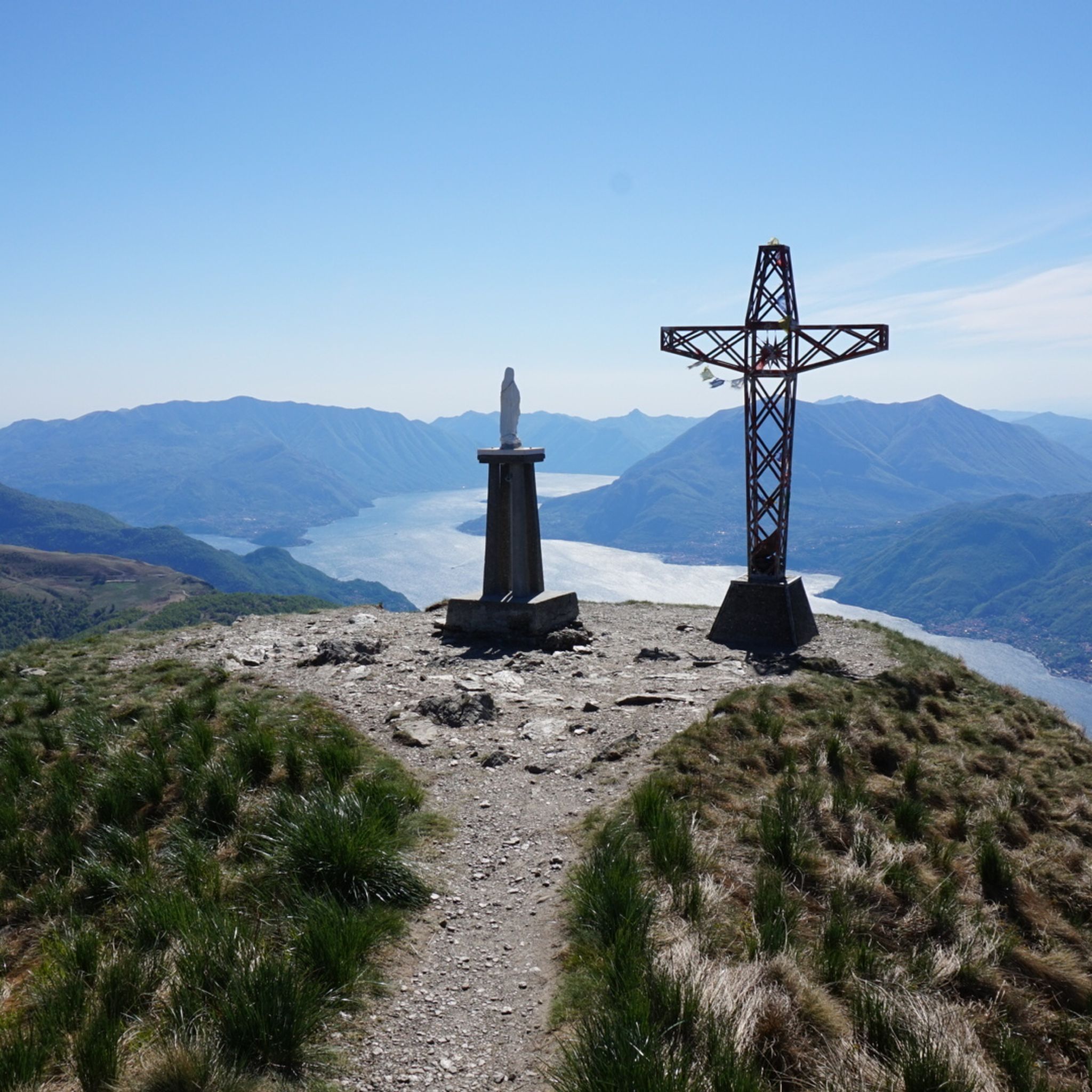
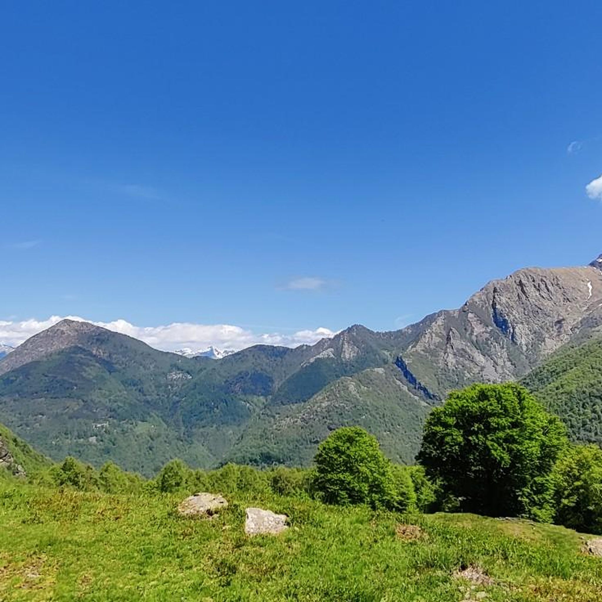
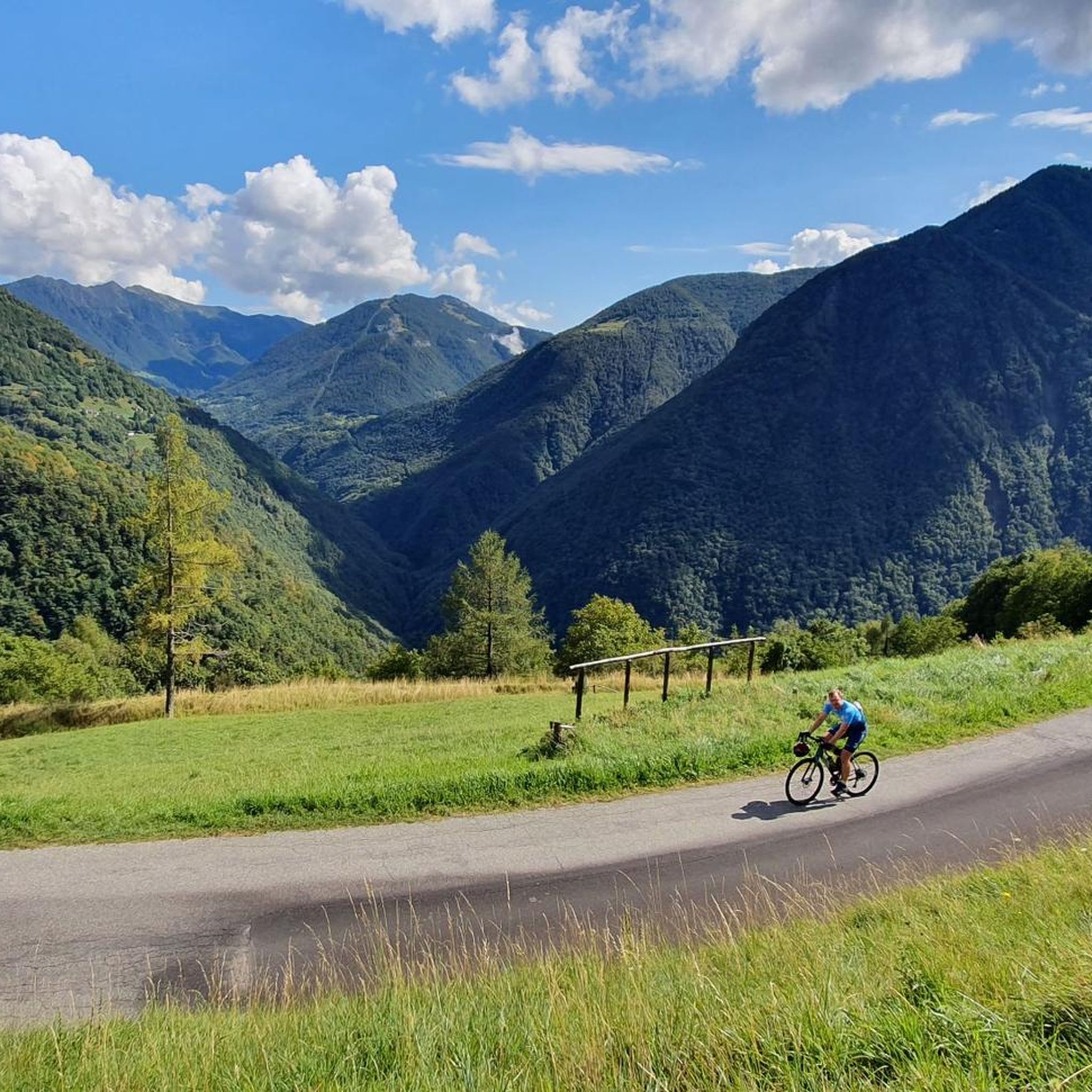

Tips from the Community

Site in a very beautiful and panoramic position
0
0
To be covered in winter
0
0

Beautiful view that you admire on the trail
0
0
You meet it at the crossroads for Porta di Prada and the Piancaformia ridge
0
0
This is the start for Grigna Settentrionale
0
0
We are now close to the Grigna, having done it both in summer and with snow, in both cases it is tiring and beautiful
0
0
Another junction found when going to the Bietti refuge
0
0
Great refuge, this year I found it closed due to a change in management. In November 2024, I ate a fantastic braised meat with polenta.
0
0
Frequently Asked Questions
What kind of mountaineering challenges can I expect around Pagnona?
Mountaineering around Pagnona offers a range of challenges, primarily due to its location at the foot of the Orobie Alps and its direct access to Monte Legnone, the highest peak in the Province of Lecco. You can expect significant elevation gains, varied terrain from dense woods to exposed mountain paths, and routes classified as moderate to difficult. For instance, the ascent to Monte Legnone often involves considerable elevation gain, providing a challenging and exhilarating experience with panoramic views.
Are there any circular mountaineering routes available in Pagnona?
Yes, Pagnona offers several circular mountaineering routes that allow you to start and end in the same location. A notable example is the Monte Legnone Summit loop from Valvarrone, which is a challenging 11.2 km trail. Another option is the Bocchetta di Prada (1,625 m) – The Friar and the Nun loop from Cortenova, a difficult 12.5 km path offering panoramic views.
What are some notable landmarks or viewpoints I can discover on these routes?
The region around Pagnona is rich in natural beauty and historical points of interest. Many routes offer breathtaking views, especially from higher elevations like Monte Legnone, where you can often find yourself 'above the clouds.' You can also explore historical paths such as the 'Legnone Military Road' on your way to Rifugio Griera, an extraordinary work of military engineering. Additionally, some trails pass through charming hamlets like Subiale, offering scenic stops.
What is the best time of year for mountaineering in Pagnona?
The best time for mountaineering in Pagnona is generally during the warmer months, from late spring to early autumn, when trails are clear of snow and weather conditions are more stable. This allows for safe access to higher altitudes and offers the best chance for clear, expansive views. Always check local weather forecasts and trail conditions before heading out, especially for higher peaks like Monte Legnone.
Are there any family-friendly mountaineering options around Pagnona?
While many routes around Pagnona are classified as moderate to difficult, some sections or shorter trails might be suitable for families with older children who are accustomed to hiking. For example, the trails leading to Rifugio Griera offer scenic views and amenities like picnic areas and fresh water springs, making them potentially more accessible for a family outing. Always consider the elevation gain and duration when planning with family.
Where can I find parking for mountaineering trailheads in Pagnona?
Specific parking information for each trailhead can vary. However, Pagnona and its surrounding villages, which serve as starting points for many mountaineering routes, typically offer designated parking areas. It's advisable to research the specific starting point of your chosen route, such as Valvarrone or Cortenova, to identify the most convenient parking options before your trip.
How do other mountaineers rate the trails in Pagnona?
The mountaineering routes in Pagnona are highly regarded by the komoot community, holding an impressive average rating of 4.7 stars from over 30 reviews. Mountaineers often praise the diverse terrain, the challenging ascents, and the rewarding panoramic views, particularly from peaks like Monte Legnone.
Can I reach the mountaineering trailheads using public transport?
While Pagnona is a commune in the Province of Lecco, public transport options to specific, remote trailheads can be limited. It's recommended to check local bus schedules or regional transport services that connect to Pagnona or nearby villages like Valvarrone, Cortenova, or Domaso, which serve as starting points for some routes. Planning ahead is crucial if relying on public transport.
Are there any historical sites or unique natural features to explore near the trails?
Absolutely. Beyond the stunning mountain vistas, the area boasts unique features like the historic 'Legnone Military Road,' an impressive piece of engineering that adds a historical dimension to your trek towards Rifugio Griera. You can also find charming, traditional hamlets along some paths. For those interested in broader historical context, there are also several castles nearby, such as Castello Rezzonico or Andreani Castle, Corenno Plinio, which can be explored as separate excursions.
What is the average duration for mountaineering routes in Pagnona?
The duration of mountaineering routes in Pagnona varies significantly based on difficulty and distance. For instance, the challenging Monte Legnone Summit loop from Valvarrone typically takes around 7 hours and 29 minutes to complete. A moderate route like Along the Shepherd's Path – Historic Village of Livo loop from Domaso might take about 3 hours and 23 minutes. Always check the estimated duration for your chosen route and factor in your own pace and breaks.
Are there any moderate mountaineering routes in the Pagnona area?
Yes, while many routes are difficult, there are moderate options available. One such route is the Along the Shepherd's Path – Historic Village of Livo loop from Domaso. This 9.3 km trail leads through varied landscapes and is generally completed in about 3 hours and 23 minutes, offering a less strenuous but still rewarding mountaineering experience.
What is the highest peak accessible from Pagnona for mountaineering?
Pagnona serves as a direct gateway to Monte Legnone, which is the highest peak in the Province of Lecco and the westernmost sector of the Orobie Alps, standing at 2,609 meters above sea level. Ascending Monte Legnone offers a significant mountaineering challenge and rewards with breathtaking panoramic views.
Are there any places to eat or stay near the mountaineering trails in Pagnona?
Pagnona and its surrounding villages offer local cafes and restaurants where you can refuel after your mountaineering adventures. Additionally, mountain refuges like Rifugio Griera provide a place to rest and often serve traditional meals. For accommodation, you can find options in Pagnona itself or in nearby towns around Lake Como, which is only about 13 km away.
Most popular routes around Pagnona
Most popular attractions around Pagnona

Get inspired with the komoot mobile app


Explore more
Browse the best Mountain Hikes & Routes in other regions.
