The best walks and hikes around Mandello Del Lario
4.5
(3094)
15,927
hikers
113
hikes
Hiking around Mandello Del Lario offers diverse terrain on the eastern shores of Lake Como, framed by the Grigne mountain range. This region features a blend of lakeside paths, rugged calcareous and dolomite mountain landscapes, and river valleys with waterfalls. The Meria River carves through the area, creating natural pools and streams. The Grigne Massif provides dramatic ridges and pinnacles, with elevations reaching over 200 meters.
Best hiking trails around Mandello Del Lario
- The most popular hiking route is Meria River Trail from Mandello, a 7.6 miles (12.3 km) trail that takes 5 hours 7 minutes to complete. This difficult trail follows the Meria River, featuring waterfalls and natural pools.
- Another top favourite among local hikers is Sentiero del Fiume Meria Trail, a difficult 5.5 miles (8.8 km) path. This route explores the river valley, offering views of the Grignetta.
- Local hikers also love the Sentiero del Fiume Meria Loop, a 4.5 miles (7.2 km) trail leading through the Meria River valley and its natural features, often completed in about 3 hours 22 minutes.
- Hiking around Mandello Del Lario is defined by Lake Como's shores, the Grigne mountain range, and the Meria River valley. The network offers options for different ability levels, from lakeside strolls to challenging mountain ascents.
- The routes in Mandello Del Lario are highly rated by the komoot community with an average score of 4.5 stars from over 2400 reviews. More than 12000 hikers have used komoot to explore Mandello Del Lario's varied terrain.
Last updated: October 10, 2026
4.6
(205)
791
hikers
12.3km
05:07
690m
690m
Hard hike. Very good fitness required. Sure-footedness, sturdy shoes and alpine experience required.
4.6
(162)
587
hikers
8.81km
04:11
600m
600m
Embark on the Sentiero del Fiume Meria Trail, a challenging hike that follows the Meria river through a wild and serene landscape. This difficult route covers 5.5 miles (8.8 km) and involves a significant elevation gain of 1978 feet (603 metres), taking approximately 4 hours and 10 minutes to complete. You will discover numerous waterfalls, cascades, and crystal-clear pools, including unique natural basins known as "marmitte dei giganti," as you navigate the varied terrain.
This trail is best suited for experienced hikers with a good level of fitness and familiarity with mountain environments. Be prepared for several river crossings; water levels can make these more challenging, and you might get your feet wet. It is essential to bring enough food and water, as there are no refreshment points available along the main path. Plan your visit carefully to ensure you have adequate daylight and energy for the duration.
The Sentiero del Fiume Meria Trail is nestled within the Grigne Special Protection Area, offering a unique natural experience. The route features sections equipped with metal ropes, chains, and steps to assist you over rocky and exposed areas, adding to the adventure. As you hike, you can look forward to panoramic views of Lake Lecco and the impressive Grigna Settentrionale mountain, especially on your return journey, and a peaceful stop at Alpe di Era.

4.6
(141)
442
hikers
7.17km
03:22
460m
470m
Embark on the Sentiero del Fiume Meria Loop, a difficult hiking route that takes you deep into the narrow, incised Meria Valley. You will follow the Torrent Meria, encountering numerous waterfalls and crystal-clear pools along the way. This challenging 4.5-mile (7.2 km) loop involves a significant climb of 1499 feet (457 metres), requiring about 3 hours and 21 minutes to complete. The terrain is varied, featuring natural paths, alpine sections, and parts equipped with chains and steps, giving it a unique feel. As you ascend, you'll pass the tranquil Alpe d'Era, offering a moment of calm before reaching viewpoints with panoramic vistas of the Grignetta and Lake Lecco.
Before you set out on this difficult hike, make sure you are well-prepared and wearing sturdy shoes. The route demands good physical training due to its challenging nature. It is crucial to plan your visit during dry periods for the best experience. Heavy rains can significantly increase the difficulty of the trail, as higher water levels in the Torrent Meria can make some crossings much more demanding. Always check weather conditions before heading out to ensure a safe and enjoyable adventure.
This trail stands out for its unique blend of traditional hiking and via ferrata-like elements, making it more than just a walk in the park. The journey through the deeply incised Meria Valley offers a distinct natural environment within the Zona di Protezione Speciale Grigne. You will experience a dynamic landscape, from following the torrent to reaching elevated points that provide expansive views over Lake Lecco and Mandello, especially near the Santa Maria Sopra Olcio Church. It's a route that truly immerses you in the rugged beauty of the region.
4.8
(39)
262
hikers
14.9km
08:12
1,380m
1,380m
Embark on the Grigne Skymarathon, a challenging 9.3 miles (14.9 km) hike that takes you through the rugged beauty of the Grigne massif. You will gain a significant 4521 feet (1378 metres) in elevation, making this a truly demanding route. As you traverse the landscape, you can expect magnificent and varied scenery, including stunning views of Lake Como and the surrounding valley, dotted with houses and pastures. This difficult trail offers a rewarding experience for expert hikers, linking the two main peaks of the Grigne Mountains, the Northern Grigna (Grignone) and the Southern Grigna (Grignetta).
Planning your visit requires careful consideration, as this trail is classified for expert hikers with experience in high-mountain environments. The estimated duration for completing the route is 8 hours and 11 minutes, so plan for an early start. Due to the technical demands and exposed sections along the way, a helmet is mandatory for certain parts of the route. Ensure you are in excellent physical condition and well-prepared for challenging mountain conditions before you attempt this hike.
The Grigne Skymarathon is notable for its unique landscape, often compared to the Dolomites, featuring lush vegetation and intact ecological zones. You will encounter distinctive points like the Bivacco Ferrario, which offers an otherworldly atmosphere amidst the high peaks. This route provides a deep immersion into the natural environment of the Parco Regionale della Grigna Settentrionale, showcasing its geological formations and diverse ecosystems.
4.7
(77)
455
hikers
13.6km
06:36
1,080m
1,080m
Prepare for a demanding journey on the Rifugio Elisa Loop, a difficult hike that immerses you in the rugged beauty of the Parco delle Grigne. You will traverse diverse terrain, from lush valleys to exposed peaks, with the impressive Val Mala Gorge and its waterfall serving as a memorable landmark. The route covers 8.5 miles (13.6 km) and involves a substantial 3538 feet (1078 metres) of elevation gain. Plan for approximately 6 hours and 35 minutes to complete this challenging adventure, where panoramic views of Lake Lecco await from high points like Zucco di Larenson.
This is a strenuous hike, so ensure you are in good physical condition and are sure-footed on varied terrain. The path includes steep ascents and rugged sections, with some parts potentially slippery or equipped with chains. Sturdy hiking shoes are essential for your safety and comfort. Consider if you have the necessary alpine experience for certain segments of the trail.
Beyond the natural beauty, the Rifugio Elisa Loop offers a glimpse into history. As you hike, you will encounter the historically significant Grotta Ferrera, a site even mentioned by Leonardo da Vinci. This unique cultural element adds another layer to the experience, making the trail notable for both its challenging landscapes and its intriguing past within the region.
Get access to more routes and recommendations from other explorers.
Already have an account?
Our route recommendations are based on thousands of hikes, rides, and runs completed by other people on komoot.
Start today with a free account
Your next adventure awaits.
Popular around Mandello Del Lario
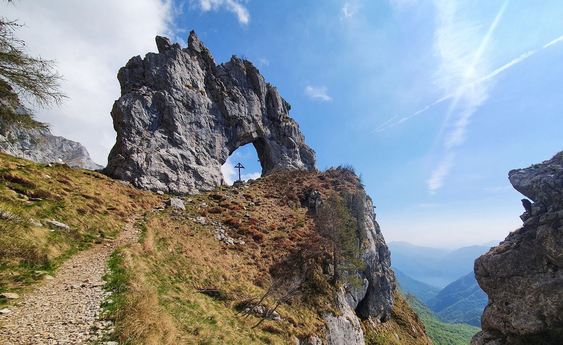
Travel slowly through Italy’s Grigna mountains – seven approach routes
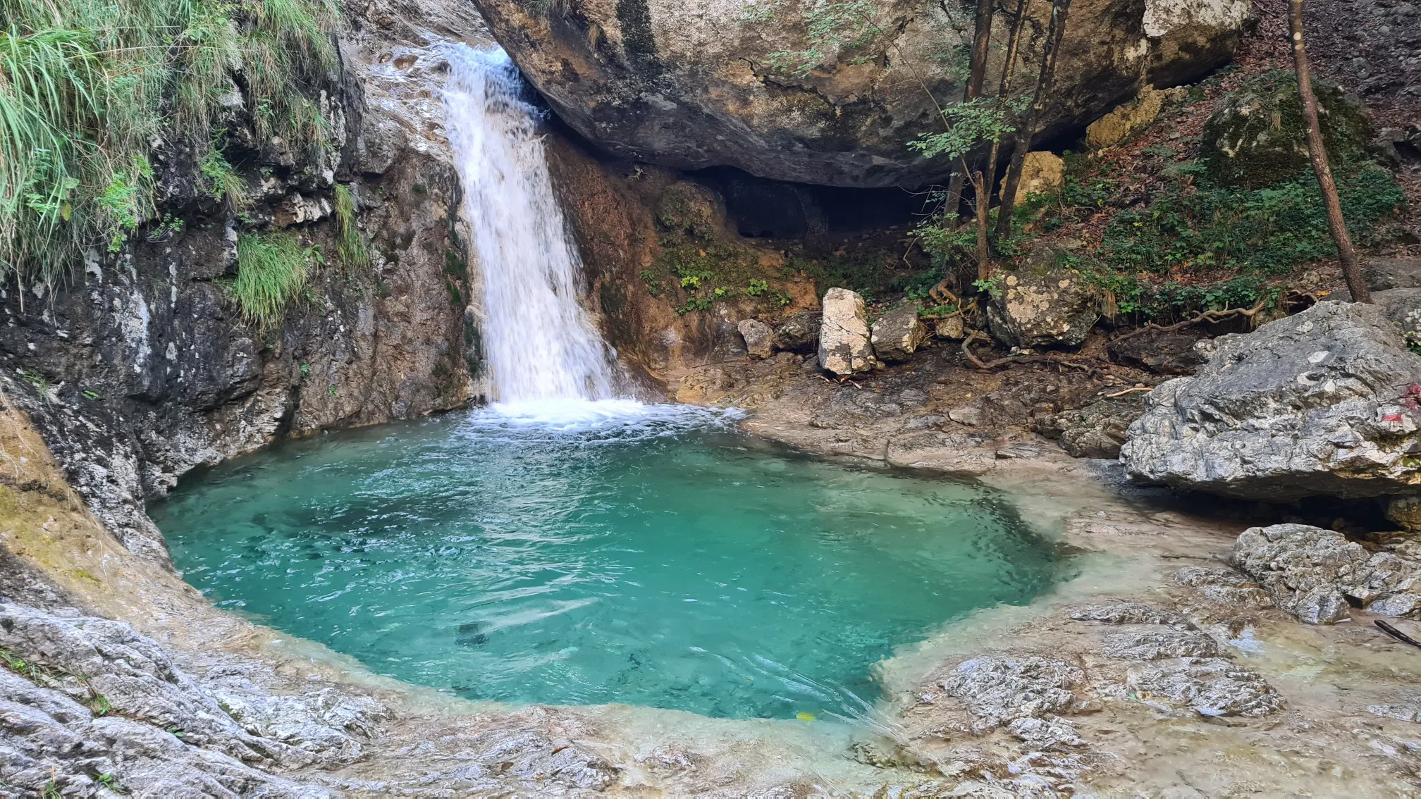
Walking on water – hiking through puddles near Lecco
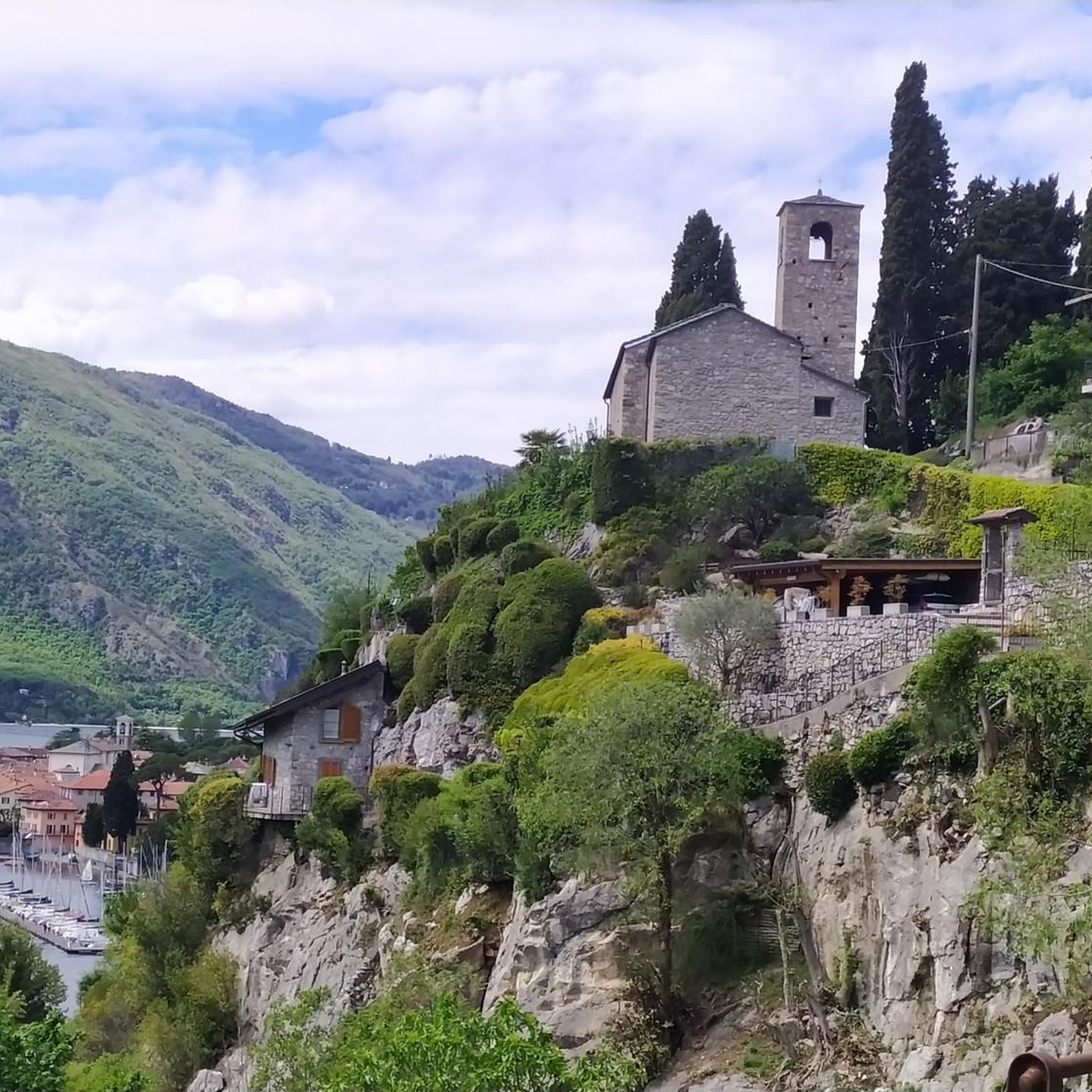
Road Cycling Routes around Mandello Del Lario
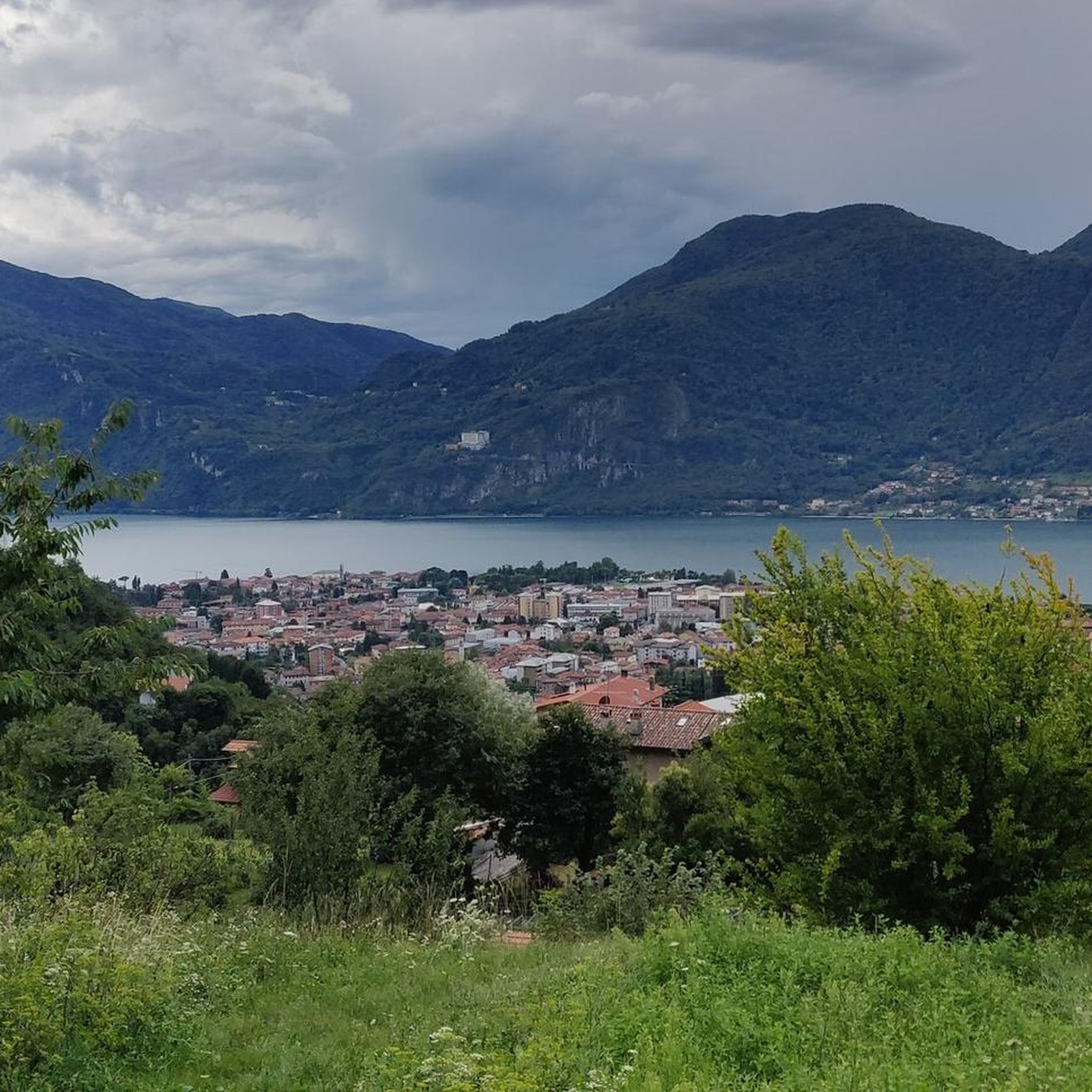
MTB Trails around Mandello Del Lario
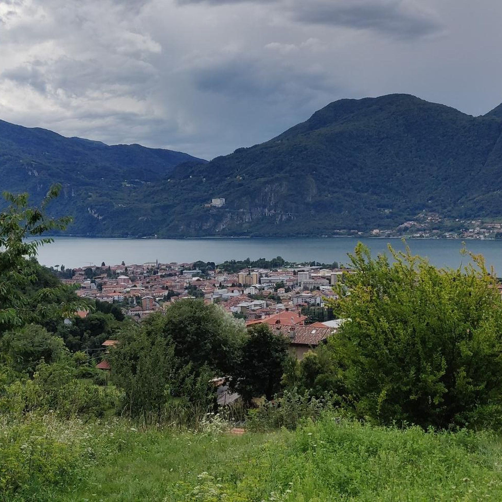
Running Trails around Mandello Del Lario
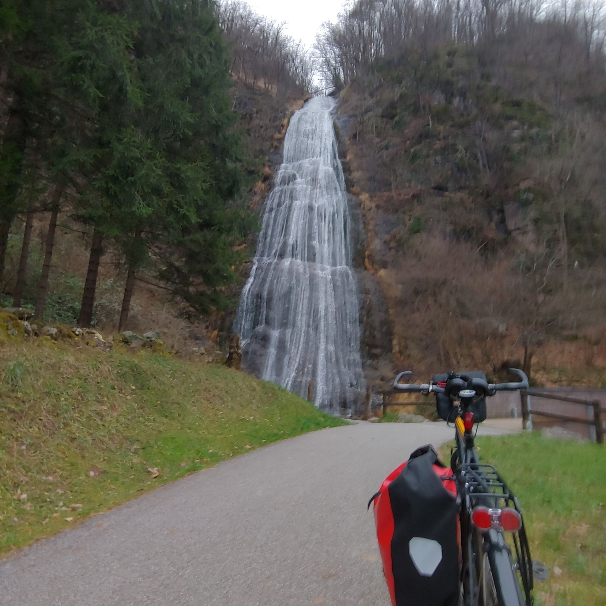
Cycling around Mandello Del Lario
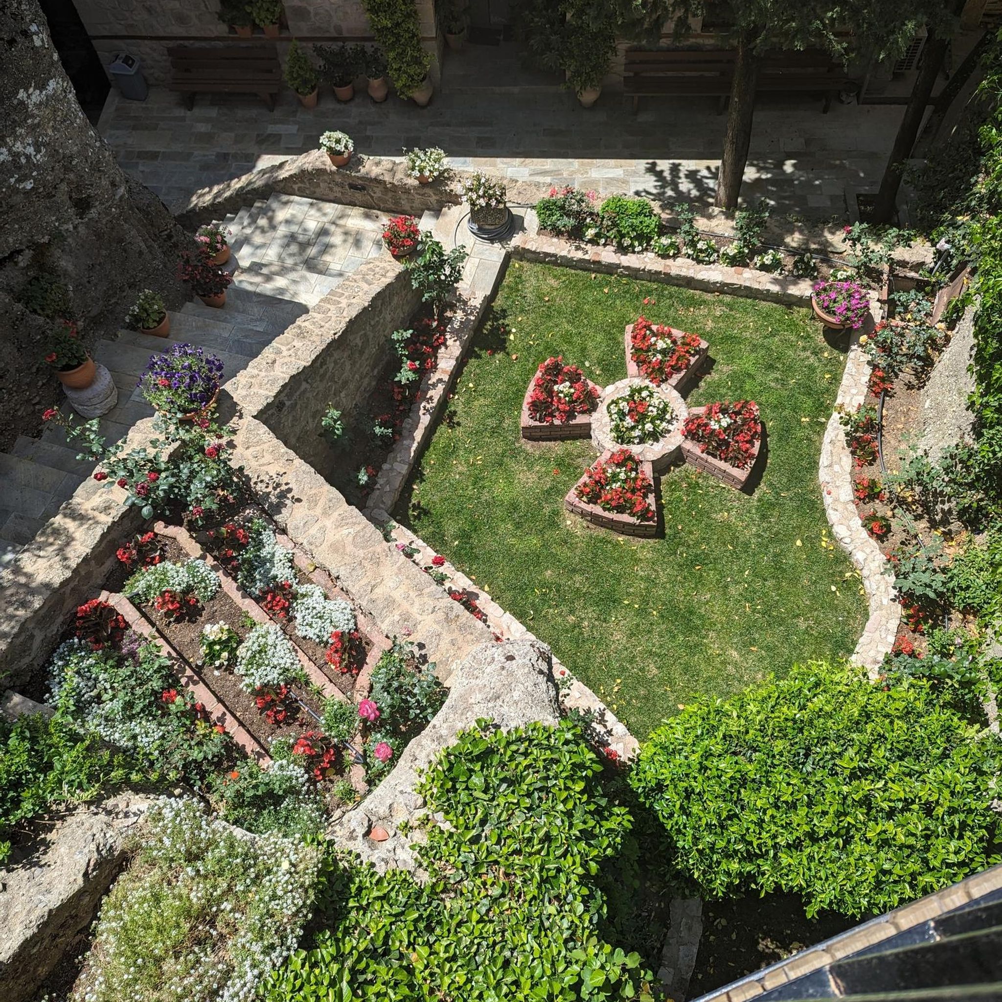
Mountain Hikes around Mandello Del Lario

Gravel biking around Mandello Del Lario

Tips from the Community

Very beautiful but better to do it uphill. There are some places along the trail where you can swim
0
0

There's a section that, while not technically difficult, is objectively exposed and dangerous. It's a secured section of the trail.
0
0

In front of the (private) house is a large meadow offering a panoramic view. It's a great place for lunch and relaxation. On October 25, 2025, we hiked a trail that leads from here to Alpe Cetra. In some sections, the trail is very narrow, while in others it's quite steep. The wires, probably installed for safety, are now worn and loose, but with caution, the trail can be negotiated without too much difficulty.
0
0

beautiful refuge located in an incredible setting
0
0
we passed by it's a nice place to rest
0
0
the path to the Elisa refuge is quite challenging
0
0
Frequently Asked Questions
Are there easy hiking trails suitable for beginners or families in Mandello Del Lario?
Yes, Mandello Del Lario offers a variety of easier trails perfect for beginners and families. Many routes along the shores of Lake Como provide gentle terrain and beautiful views. Overall, there are over 20 easy routes available, offering accessible options for a relaxed outdoor experience.
What kind of views can I expect on hikes around Mandello Del Lario?
Hikes in Mandello Del Lario offer a stunning blend of landscapes. You can expect panoramic views of Lake Como, dramatic vistas of the Grigne mountain range with its rugged peaks and valleys, and scenic glimpses of the Meria River with its waterfalls and natural pools. Higher trails, such as those leading to Luigi Azzoni Hut on Monte Resegone or the Summit cross of Monte Cornizzolo, provide expansive panoramas of multiple lakes and the surrounding Alps.
Are there any circular hiking routes in Mandello Del Lario?
Yes, there are several circular hiking routes available. One popular option is the Sentiero del Fiume Meria Loop, which takes you through the Meria River valley, showcasing its natural features. This route is about 4.5 miles (7.2 km) long and typically takes around 3 hours 22 minutes to complete.
Can I bring my dog on hikes in Mandello Del Lario?
Generally, dogs are welcome on many hiking trails in Mandello Del Lario, especially on the more accessible lakeside paths and forest trails. However, it's always advisable to keep them on a leash, especially in nature reserves or areas with livestock, and to check specific trail regulations before you go. Remember to carry water for your dog and clean up after them.
Are there any waterfalls or natural pools to see along the hiking trails?
Absolutely. The Meria River carves through the mountains, creating a dynamic landscape rich in waterfalls and natural pools. The Meria River Trail from Mandello is particularly known for these features, offering an adventurous experience with sections that may include chains and steps.
What is the best time of year to go hiking in Mandello Del Lario?
Mandello Del Lario benefits from a mild climate due to its location on Lake Como, making hiking enjoyable across various seasons. Spring (April-May) and autumn (September-October) are often considered ideal, with pleasant temperatures and vibrant natural colors. Summer can be warm, but lakeside paths and higher mountain trails offer cooler options. Winter hiking is also possible, especially on lower elevation trails, though higher mountain routes may require specific gear due to snow and ice.
What are some notable attractions or landmarks I can visit while hiking?
Beyond the natural beauty, you can encounter several interesting landmarks. Along the Sentiero del Viandante, you might pass the historic Church of San Giorgio with its ancient frescoes. For cultural insights and panoramic views, consider visiting the Barbarossa Tower in Maggiana. Higher up, you can find mountain huts like Rifugio Elisa, offering rest and stunning vistas.
How long do hikes typically take around Mandello Del Lario?
Hiking durations vary significantly depending on the trail's difficulty and length. Easy lakeside strolls might take an hour or two. Moderate trails, like the Sentiero del Fiume Meria Trail (5.5 miles / 8.8 km), can take around 4-5 hours. More challenging mountain ascents, such as the Grigne Skymarathon route (9.3 miles / 14.9 km), can be full-day excursions, potentially taking 8 hours or more due to significant elevation gain.
What do other hikers enjoy most about hiking in Mandello Del Lario?
The area is highly rated by the komoot community, with an average score of 4.5 stars from over 2400 reviews. Hikers frequently praise the diverse terrain, from tranquil lakeside paths to challenging mountain trails, and the breathtaking views of Lake Como and the Grigne Massif. The well-maintained paths and the opportunity to discover natural features like waterfalls are also often highlighted.
Are there any challenging mountain treks for experienced hikers?
Yes, the Grigne Massif offers numerous challenging treks for experienced hikers. These routes often feature dramatic ridges, gullies, and significant elevation changes, sometimes requiring good fitness and alpine experience. Trails leading to refuges like Rifugio Rosalba or within the Grigna Settentrionale provide demanding ascents and spectacular views, reminiscent of the Dolomites.
Is there public transport available to reach trailheads in Mandello Del Lario?
Mandello Del Lario is well-connected by public transport, including train services along the eastern shore of Lake Como and local buses. These can help you reach various starting points for hikes, especially for trails that connect different villages, such as sections of the Sentiero del Viandante. It's advisable to check local timetables for the most current information.
Where can I find parking for hiking trails in Mandello Del Lario?
Parking is generally available in and around Mandello Del Lario, particularly near the town center and popular trailheads. Look for designated parking areas, often near the lakeside promenade or at the start of well-known routes. Some smaller hamlets or mountain access points might have limited parking, so arriving early is recommended during peak seasons.
Most popular routes around Mandello Del Lario
Most popular attractions around Mandello Del Lario

Get inspired with the komoot mobile app


Explore more
Browse the best Hikes in other regions.
