The best mountain hikes around Ornica
4.9
(10)
62
hikers
2
hikes
Mountaineering routes around Ornica, nestled in the Bergamo Alps of Italy, traverse rugged landscapes characterized by mountain massif terrains, prominent peaks, and deep river gorges. The region features significant elevations, including the Pizzo dei Tre Signori at 2554 meters, alongside numerous passes like Toro Pass and Salmurano Pass. Valleys such as Val Taleggio and Val d'Inferno offer diverse environments for exploration. The terrain provides a challenging environment for mountaineers seeking varied ascents and descents.
Best mountaineering routes around Ornica
- The…
Last updated: October 8, 2026
4.7
(7)
33
hikers
9.77km
04:21
760m
760m
Hard mountaineering route. Good fitness required. Sure-footedness, sturdy shoes and alpine experience required.
5.0
(2)
19
hikers
18.3km
08:03
1,390m
1,390m
Hard mountaineering route. Very good fitness required. Sure-footedness, sturdy shoes and alpine experience required.

5.0
(1)
6
hikers
Hard mountaineering route. Good fitness required. Sure-footedness, sturdy shoes and alpine experience required.
4
hikers
14.9km
07:36
1,250m
1,250m
Hard mountaineering route. Very good fitness required. Sure-footedness, sturdy shoes and alpine experience required.
Our route recommendations are based on thousands of hikes, rides, and runs completed by other people on komoot.
Start today with a free account
Your next adventure awaits.
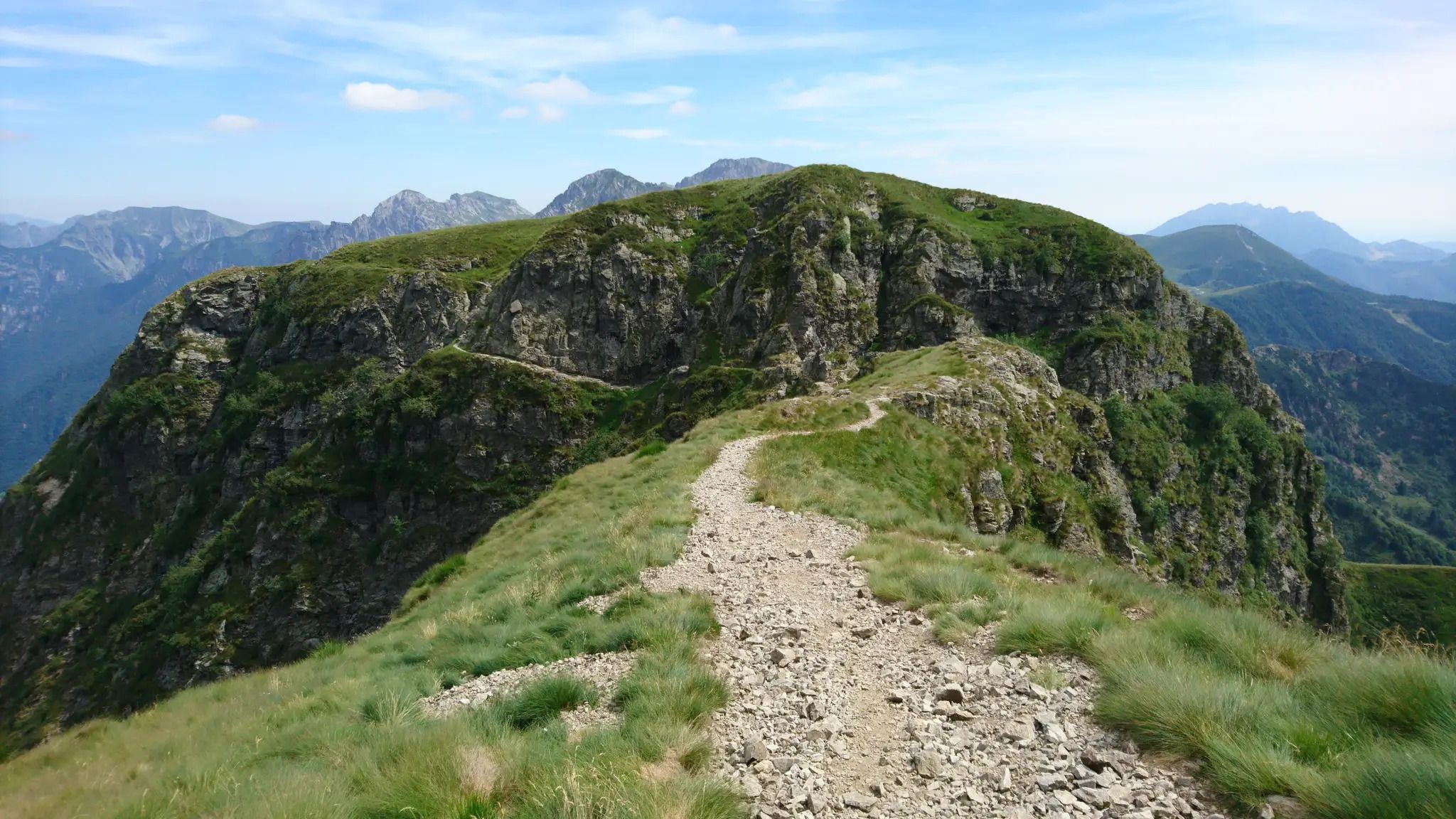
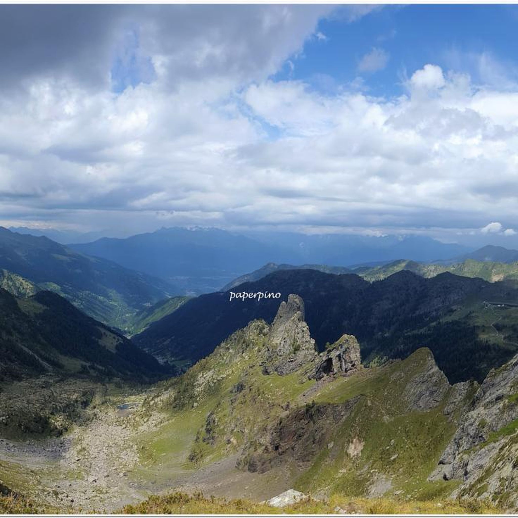
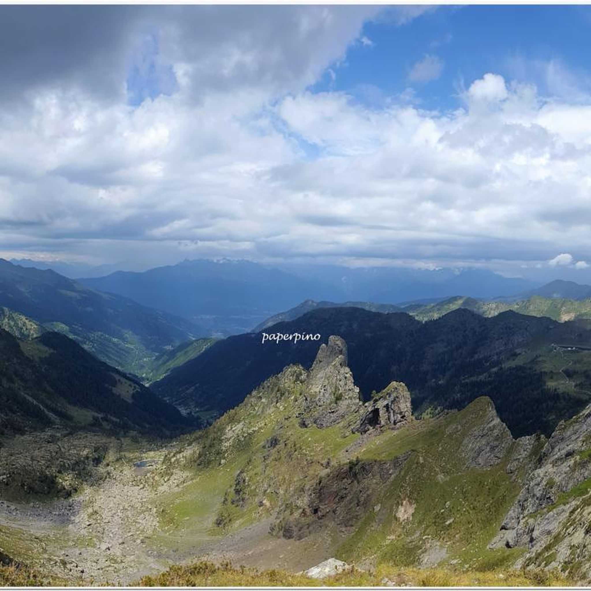
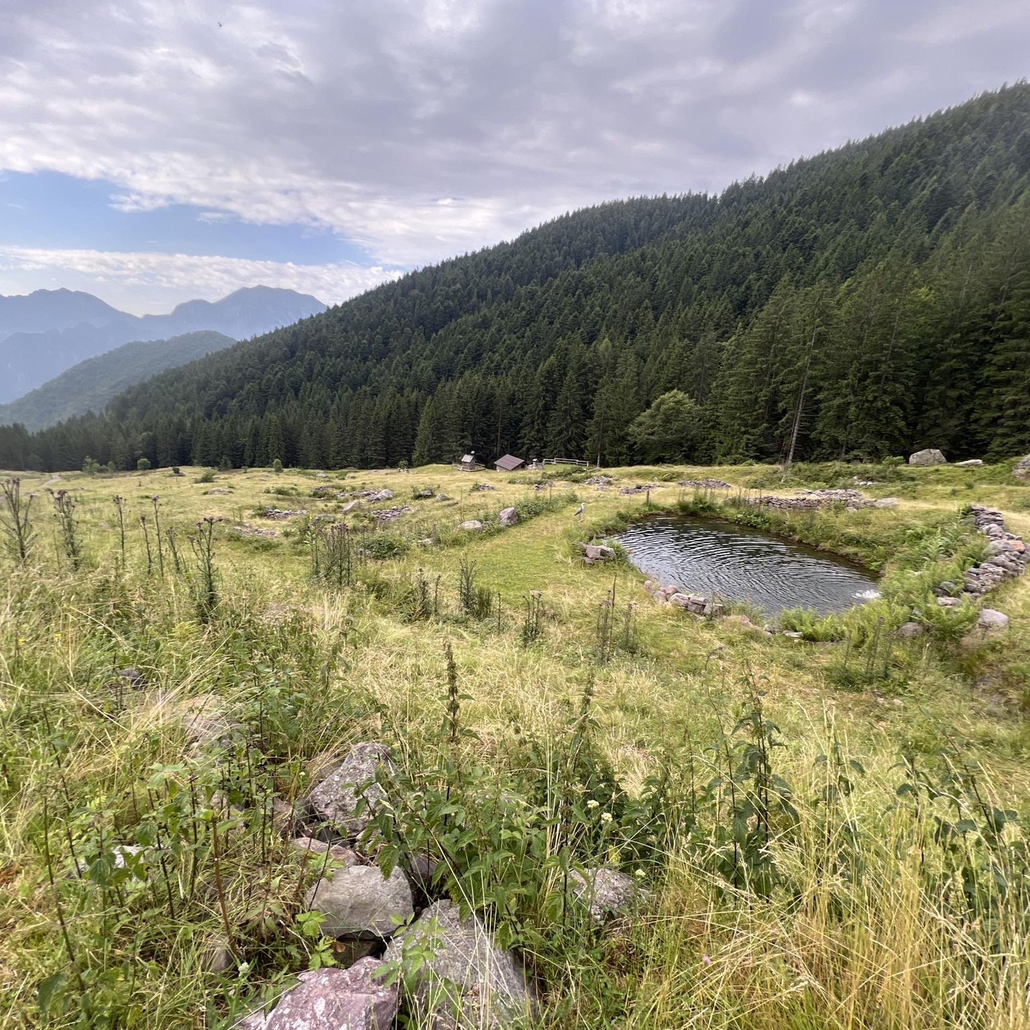
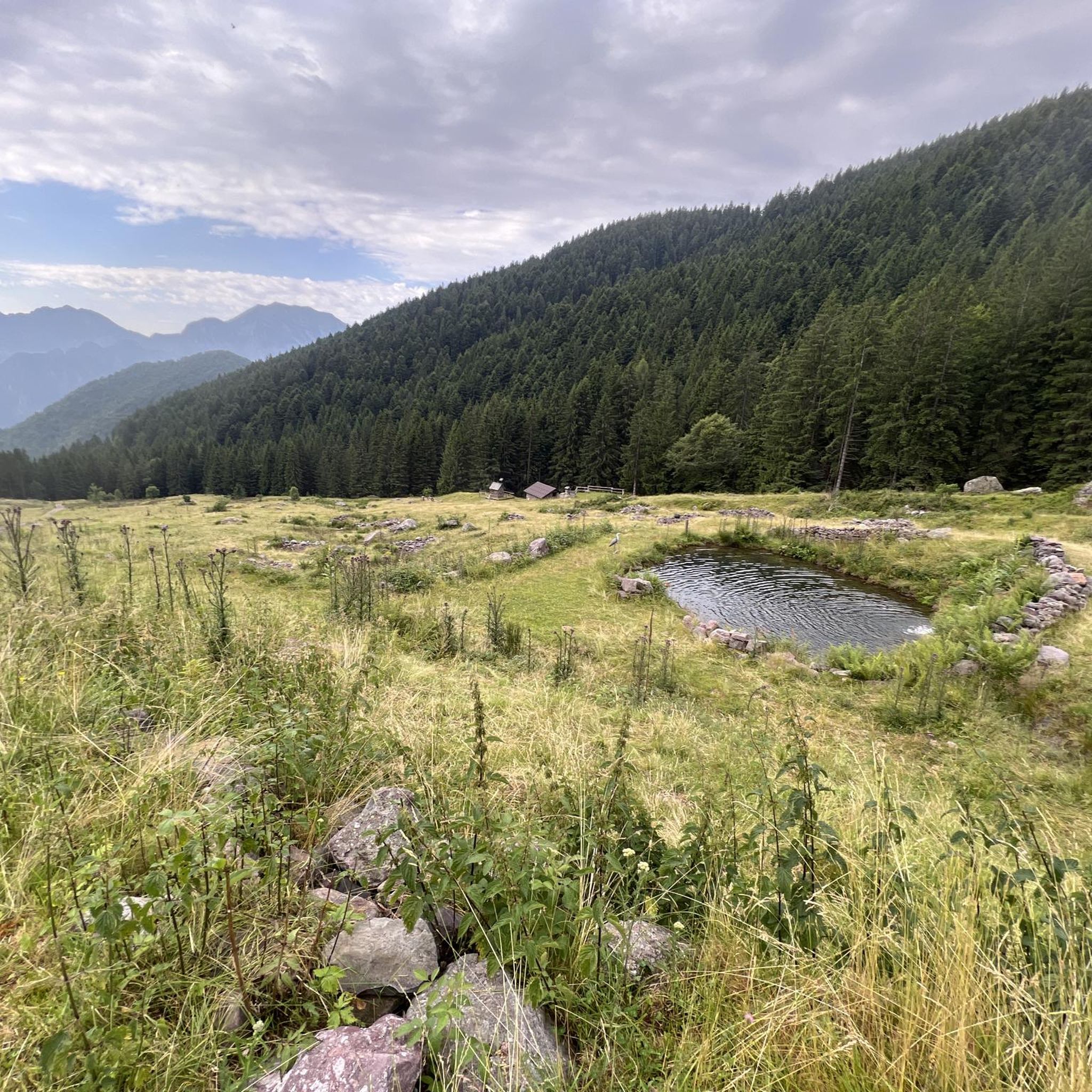
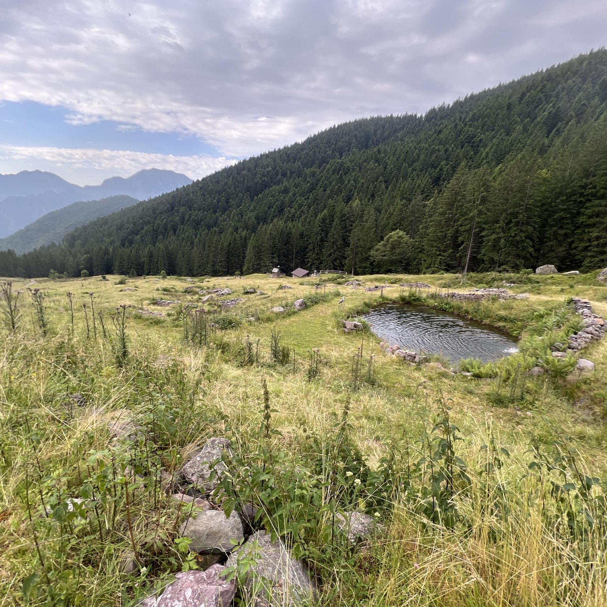

Other adventures around Ornica

Tips from the Community

A canal to be tackled with great care, but very rewarding.
0
0
It is one of the most beautiful peaks in the province of Lecco, be careful that shortly before the summit you have to face a section with chains
0
0
Start of the Camosci couloir, last section to Zucco Campelli
0
0

Starting point of the loop tour, whose highest point is the Bocchetta dei Mughi. The trail is technically simple in the summer period but has no water sources and is almost entirely in the sun
0
0

Rifugio Lecco, magnificent views from Piani di Bobbio
0
0
Beautiful lake that we found frozen
0
0

Amazing food all year long in Rifugio Lecco. Great place to stop by when you’re skiing in Piani di Bobbio, but also for a hike in the spring / summer time
1
1

The via ferrata's starting point, complete description: https://www.ferrate365.it/vie-ferrate/ferrata-mario-minonzio/
0
0
Frequently Asked Questions
What kind of mountaineering routes can I expect around Ornica?
Mountaineering routes around Ornica are characterized by rugged landscapes, prominent peaks, and deep river gorges within the Bergamo Alps. They offer challenging ascents and descents, traversing mountain massif terrains. All routes listed in this guide are rated as difficult, suitable for experienced mountaineers.
Are there any easy mountaineering routes for beginners in Ornica?
The mountaineering routes highlighted in this guide for Ornica are all rated as difficult, catering to experienced climbers seeking challenging ascents. The region is known for its rigorous terrain and significant elevations.
What are some notable natural landmarks or attractions to see while mountaineering in Ornica?
The region around Ornica is rich in natural beauty. You might encounter the impressive Pizzo dei Tre Signori summit, the scenic Val Taleggio gorge, or the serene Ponteranica Lakes. Other points of interest include the Baciamorti Pass and the Gully of Trail 108.
Are there any mountain huts or viewpoints along the mountaineering routes in Ornica?
Yes, several routes pass by or lead to mountain huts and viewpoints. For instance, the Start of Anello dei Campelli – Lecco Hut loop from Valtorta provides access to the Lecco Hut. Another route, Rifugio Benigni – Cima di Val Pianella loop from Cusio, leads past Rifugio Benigni. You can also find the Nicola Hut, Gherardi Hut, and Cesare Benigni Hut in the area, as well as the Artavaggio Plateau for panoramic views.
What do other mountaineers say about the routes in Ornica?
The mountaineering routes around Ornica are highly regarded by the komoot community, holding an average rating of 4.9 stars from over 15 reviews. Mountaineers often praise the challenging nature of the ascents and the breathtaking views of the Bergamo Alps.
Are there any circular mountaineering routes available in Ornica?
Yes, several routes in Ornica are designed as loops, allowing you to start and end at the same point. Examples include the Zuccone Campelli Summit – Canale della Madonna loop from Scuola di Sci Barzio Piani di Bobbio - Valtorta and the Rifugio Cima Grappa – Zuccone Campelli loop from Scuola di Sci Barzio Piani di Bobbio - Valtorta.
How long do mountaineering routes in Ornica typically take to complete?
The duration of mountaineering routes in Ornica varies depending on the specific trail and your pace. For example, the Zuccone Campelli Summit – Canale della Madonna loop typically takes around 3 hours and 13 minutes, while the Rifugio Benigni – Cima di Val Pianella loop can take approximately 5 hours and 40 minutes.
What are the prominent peaks and passes in the Ornica mountaineering region?
The Ornica area features several significant peaks and passes that define its mountaineering appeal. These include Pizzo dei Tre Signori, Toro Pass, Salmurano Pass, Sciocc, Piazzotti peak, Valpianella pass, Mount Giarolo, Paradiso pass, Paradiso peak, and Inferno pass. The region also includes the Benigni refuge.
Is public transport available to reach the trailheads in Ornica?
Information regarding specific public transport options directly to all trailheads is not detailed in this guide. However, Ornica is nestled in the Bergamo Alps, and access to mountain areas often requires a combination of local buses or private transport to reach starting points for more remote routes.
What are the best times of year for mountaineering in Ornica?
Mountaineering in Ornica is best enjoyed during the warmer months, typically from late spring to early autumn, when trails are clear of snow and weather conditions are more stable. Winter mountaineering would present significantly more challenging conditions, requiring specialized equipment and experience.
Are there any less crowded mountaineering trails in Ornica?
While Ornica is a popular destination for mountaineering, the vast network of trails means that some routes may be less frequented than others. Exploring routes like the Start of the Via Comune – Canale della Madonna loop from Zuccone Campelli, which is a shorter loop, might offer a more secluded experience, especially during off-peak times.
Most popular attractions around Ornica

Get inspired with the komoot mobile app


Explore more
Browse the best Mountain Hikes & Routes in other regions.
