The best mountain hikes around Valvarrone
4.8
(6)
76
hikers
7
hikes
Mountaineering around Valvarrone offers diverse terrain within the Lombardy region of Italy, stretching from the Pizzo dei Tre Signori range down to Lake Como. The area is characterized by challenging peaks of the Orobic Prealps, including Pizzo Varrone and Pizzo di Trona, and features a long, narrow valley with varied landscapes. Rocky summits and historical trails, such as the ancient "Via del Ferro," provide distinct mountaineering experiences. The region's natural environment includes pristine areas and offers panoramic views from higher…
Last updated: October 8, 2026
7
hikers
15.6km
05:13
640m
640m
Hard mountaineering route. Very good fitness required. Mostly accessible paths. Sure-footedness required.
4.6
(5)
43
hikers
12.6km
07:32
1,030m
1,030m
Hard mountaineering route. Very good fitness required. Sure-footedness, sturdy shoes and alpine experience required.

9
hikers
6.84km
02:15
150m
150m
Hard mountaineering route. Good fitness required. Sure-footedness, sturdy shoes and alpine experience required.
5.0
(1)
7
hikers
10.9km
04:52
870m
870m
Moderate mountaineering route. Good fitness required. Mostly accessible paths. Sure-footedness required.
2
hikers
14.2km
06:41
1,200m
1,200m
Hard mountaineering route. Very good fitness required. Sure-footedness, sturdy shoes and alpine experience required.
Get access to more routes and recommendations from other explorers.
Already have an account?
Our route recommendations are based on thousands of hikes, rides, and runs completed by other people on komoot.
Start today with a free account
Your next adventure awaits.
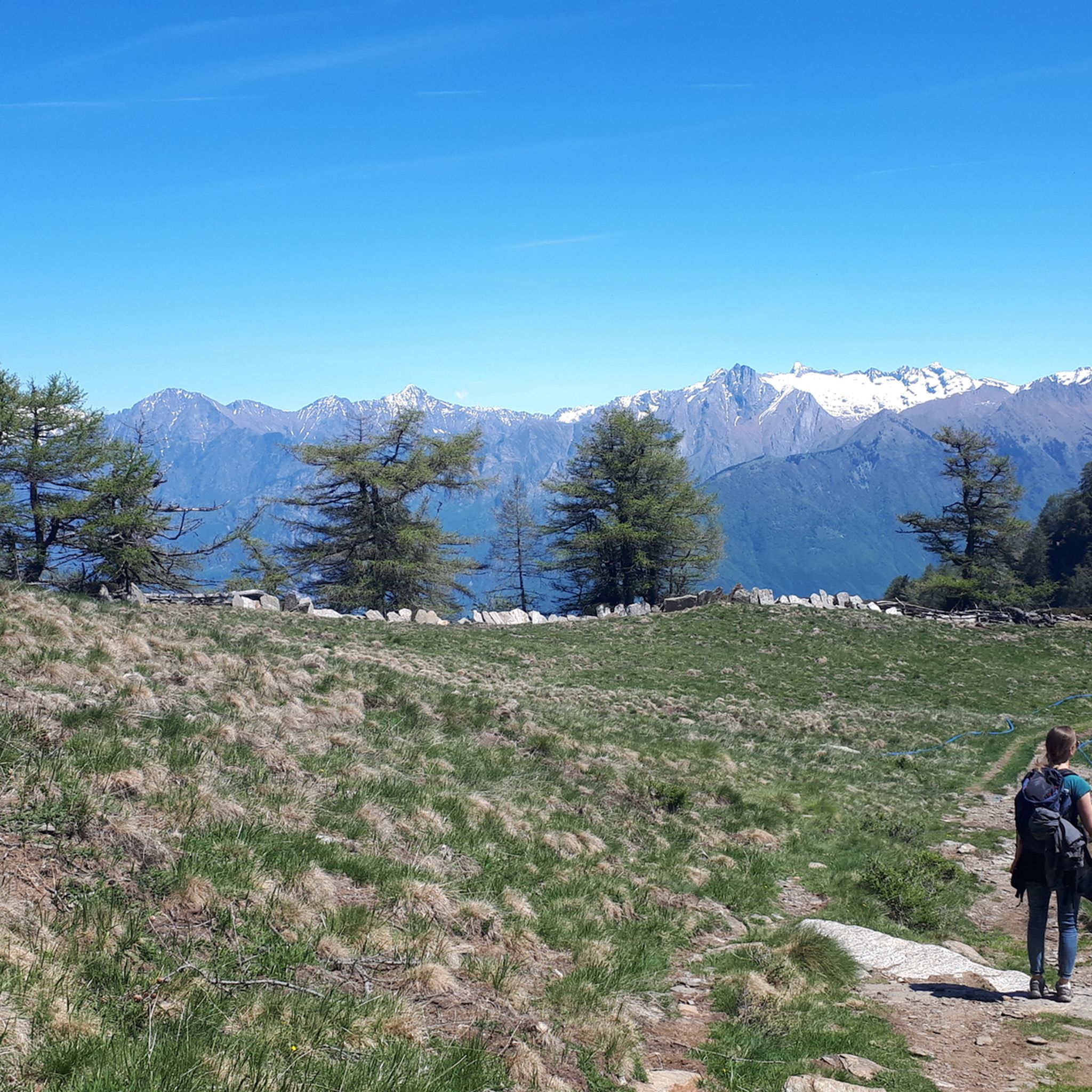
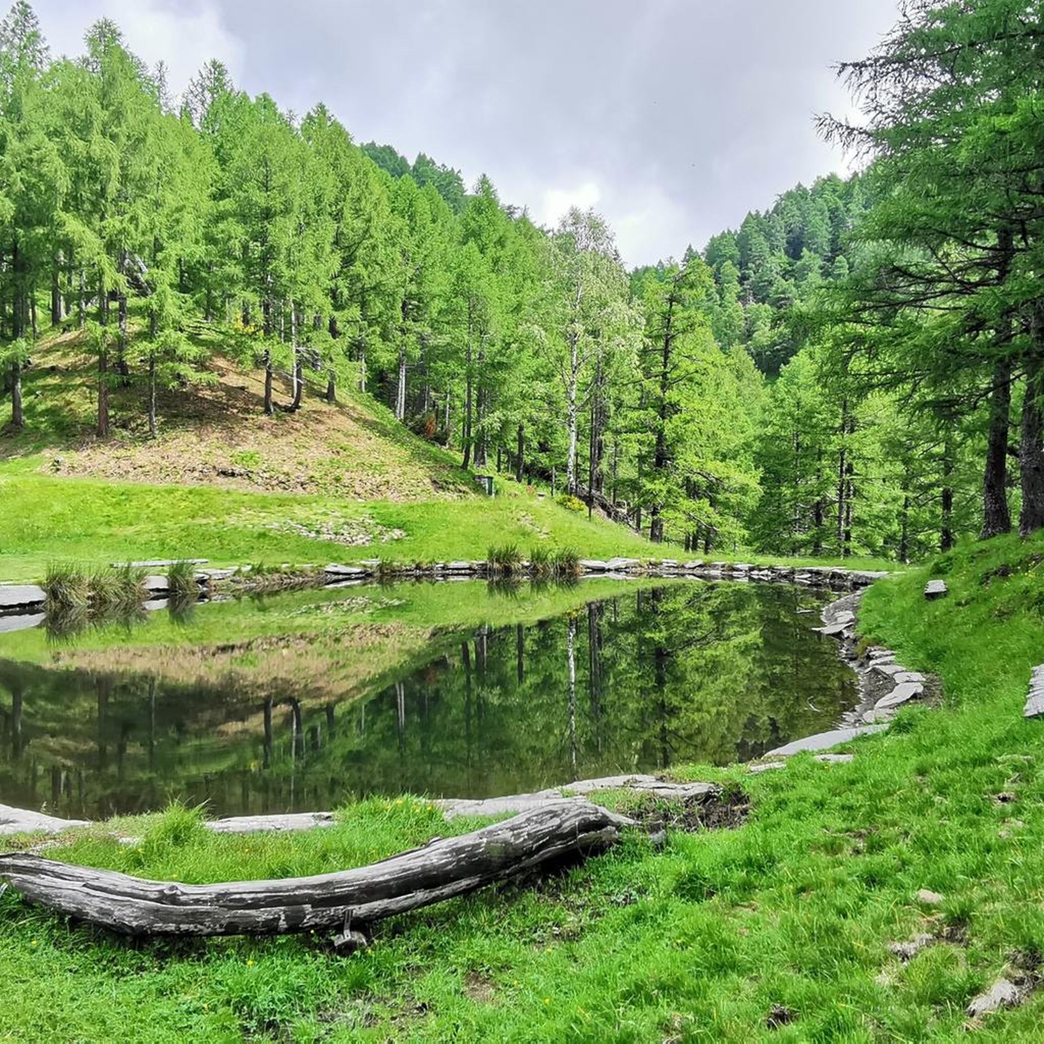
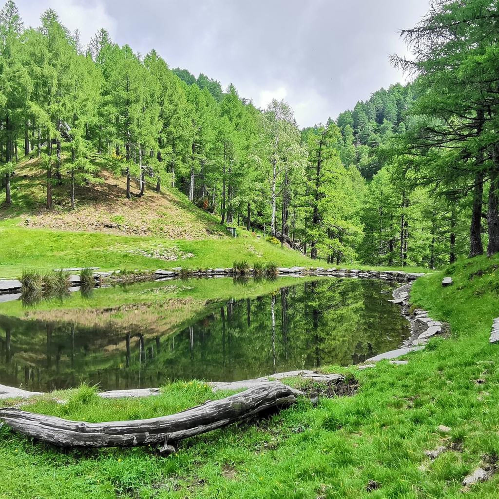
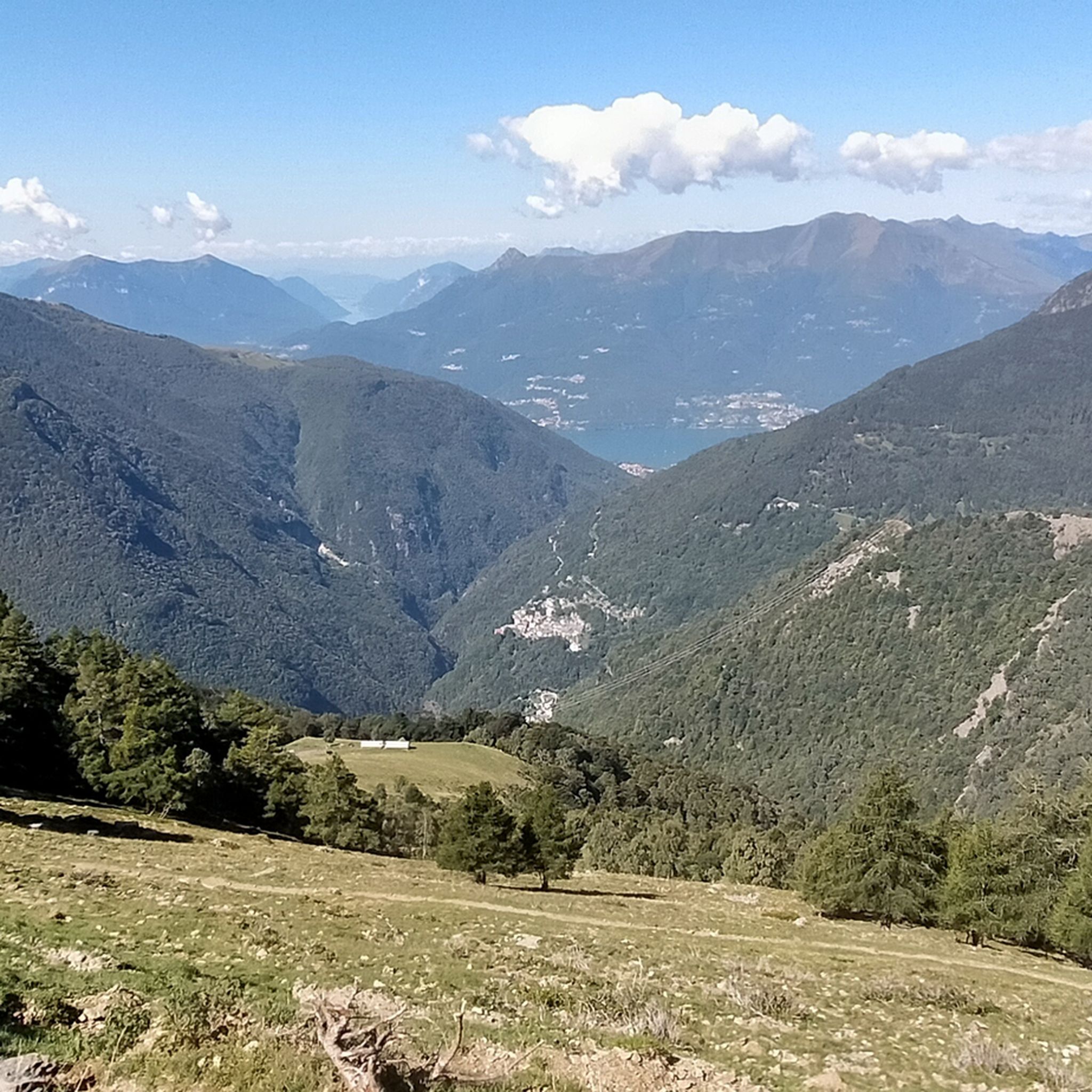

Tips from the Community

Super via ferrata. Well maintained, great view. Approach easy to find.
0
0

Site in a very beautiful and panoramic position
0
0
To be covered in winter
0
0


We are now close to the Grigna, having done it both in summer and with snow, in both cases it is tiring and beautiful
0
0
Another junction found when going to the Bietti refuge
0
0
Great refuge, this year I found it closed due to a change in management. In November 2024, I ate a fantastic braised meat with polenta.
0
0
We passed by descending from the northern Grigna, beautiful as always
0
0
Frequently Asked Questions
How many mountaineering routes are available in Valvarrone?
There are 9 mountaineering routes in Valvarrone, offering a mix of moderate and difficult ascents through the region's mountainous terrain.
What are the difficulty levels of mountaineering routes in Valvarrone?
Valvarrone offers a range of routes suitable for different experience levels. You'll find 5 moderate routes and 4 difficult routes, providing options from steady ascents to more challenging summit attempts.
Are there any circular mountaineering routes in Valvarrone?
Yes, many routes in Valvarrone are circular. For example, the difficult View of Lake Como – Alpe Chiaro loop from Alpe Giumello offers stunning vistas, while the challenging Monte Grona Summit View – Panoramic Trail to Monte Grona loop from San Siro provides an extensive high-altitude experience.
What kind of views can I expect on Valvarrone mountaineering routes?
Mountaineering in Valvarrone offers diverse and expansive views. From higher elevations, you can expect panoramic vistas of the Orobic Prealps, the surrounding forests, and often glimpses of Lake Como. Notable peaks like Pizzo dei Tre Signori and Monte Legnoncino provide particularly breathtaking panoramas.
What do other mountaineers enjoy most about Valvarrone?
The mountaineering routes in Valvarrone are highly rated by the komoot community, with an average score of 4.8 stars from over 35 reviews. Mountaineers often praise the challenging peaks, the varied terrain, and the stunning panoramic views, especially those overlooking Lake Como.
Are there any waterfalls or gorges to see along the routes?
Yes, Valvarrone and its surroundings feature several natural water attractions. You can explore the impressive Bellano Gorge or visit the unique Fiumelatte Spring, known as one of Italy's shortest rivers. The Valle dei Mulini also offers scenic water features.
What other outdoor activities are available in Valvarrone besides mountaineering?
Beyond mountaineering, Valvarrone is excellent for general hiking, with many trails suitable for families. The region is also popular for e-biking on its agro-forestry-pastoral circuits. For adventure seekers, the Jungle Rider Park at Pian delle Betulle offers adventure trails. Additionally, Lake Como is a short drive away, providing opportunities for water sports and exploring charming lakeside villages.
Are there any historical or cultural landmarks in the Valvarrone area?
While primarily known for its natural beauty, Valvarrone has historical points of interest. You can find structures like the Torraccia Diroccato, resembling a small castle, and the Municipal Ethnographic Museum showcasing local agro-pastoral culture. The nearby Castello di Corenno in Dervio also offers historical insights and beautiful landscapes.
What is the best time of year for mountaineering in Valvarrone?
The best time for mountaineering in Valvarrone is typically from late spring to early autumn when the weather is most stable and trails are clear of snow. During winter, many excursions can still be enjoyed with snowshoes or mountaineering skis, but conditions require more specialized gear and experience.
Are there any specific peaks or summits that are popular for mountaineering in Valvarrone?
Valvarrone is part of the Orobic Prealps, offering several notable peaks. Pizzo dei Tre Signori in Alta Valvarrone is a significant draw for those seeking higher altitudes. Monte Legnoncino also features a prominent summit cross and statue, making it a popular destination for mountaineers.
Most popular routes around Valvarrone
Most popular attractions around Valvarrone

Get inspired with the komoot mobile app


Explore more
Browse the best Mountain Hikes & Routes in other regions.
