The best running trails around Bagnolo San Vito
4.4
(54)
4,680
runners
203
runs
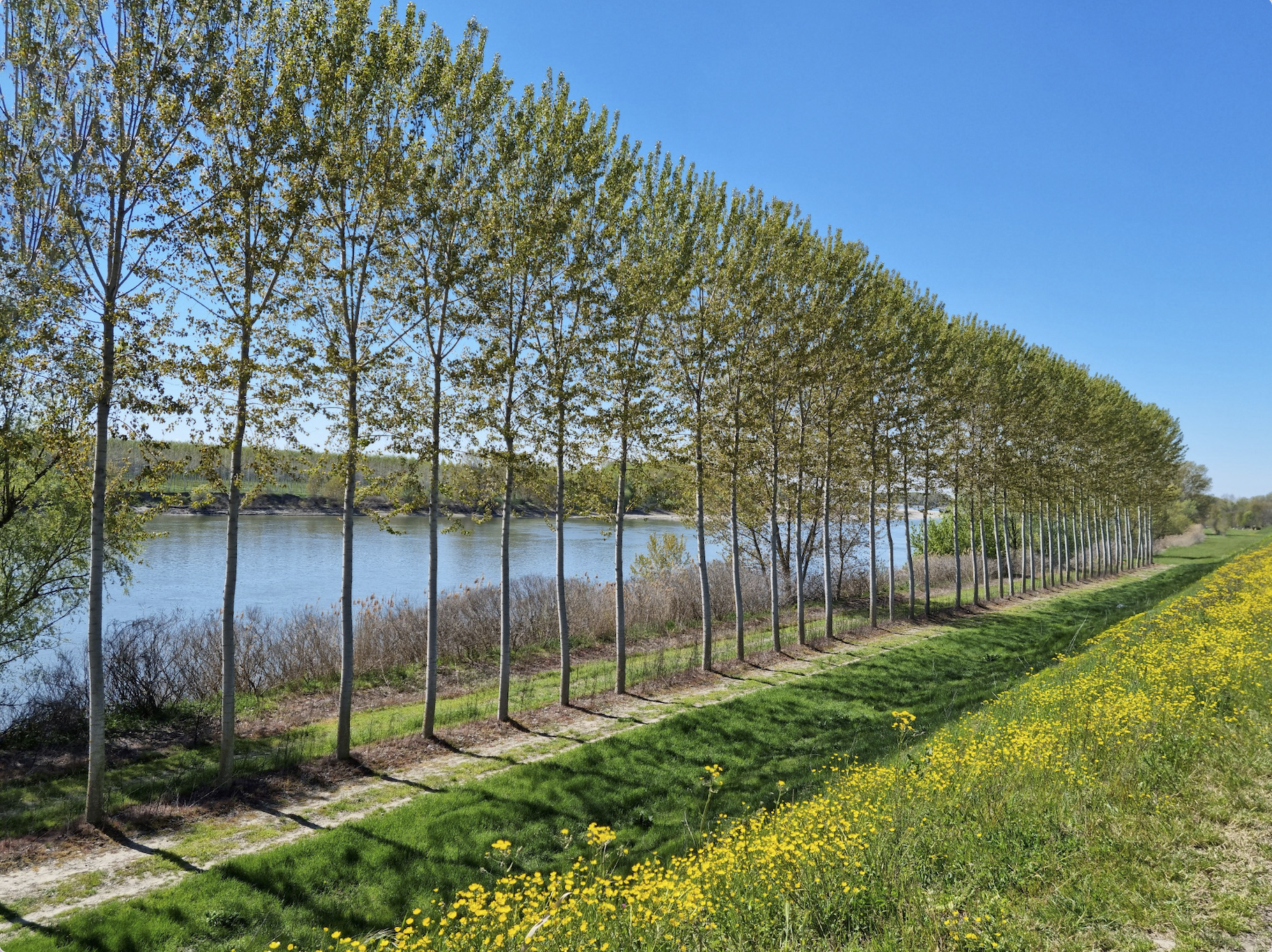
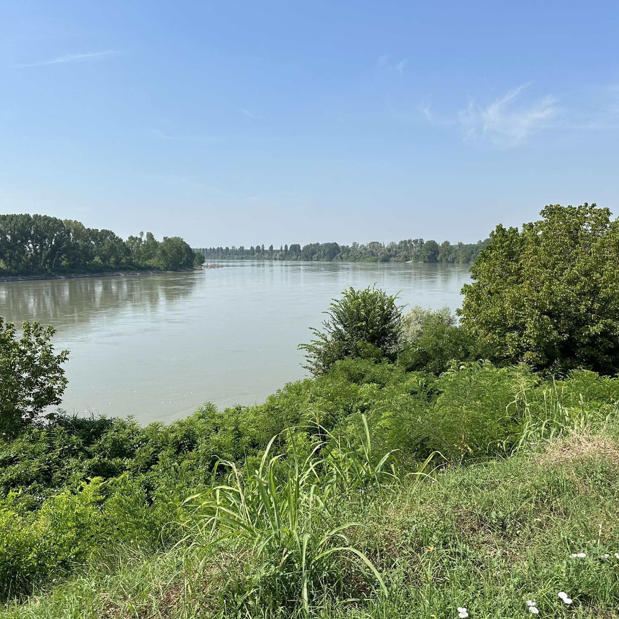
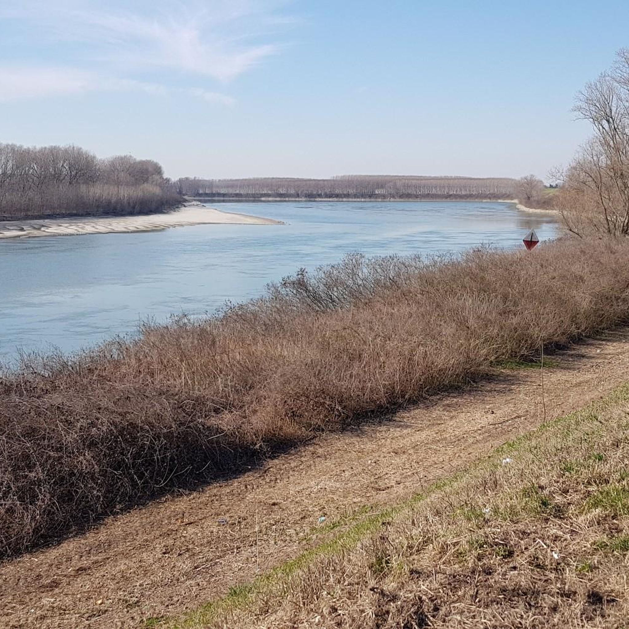
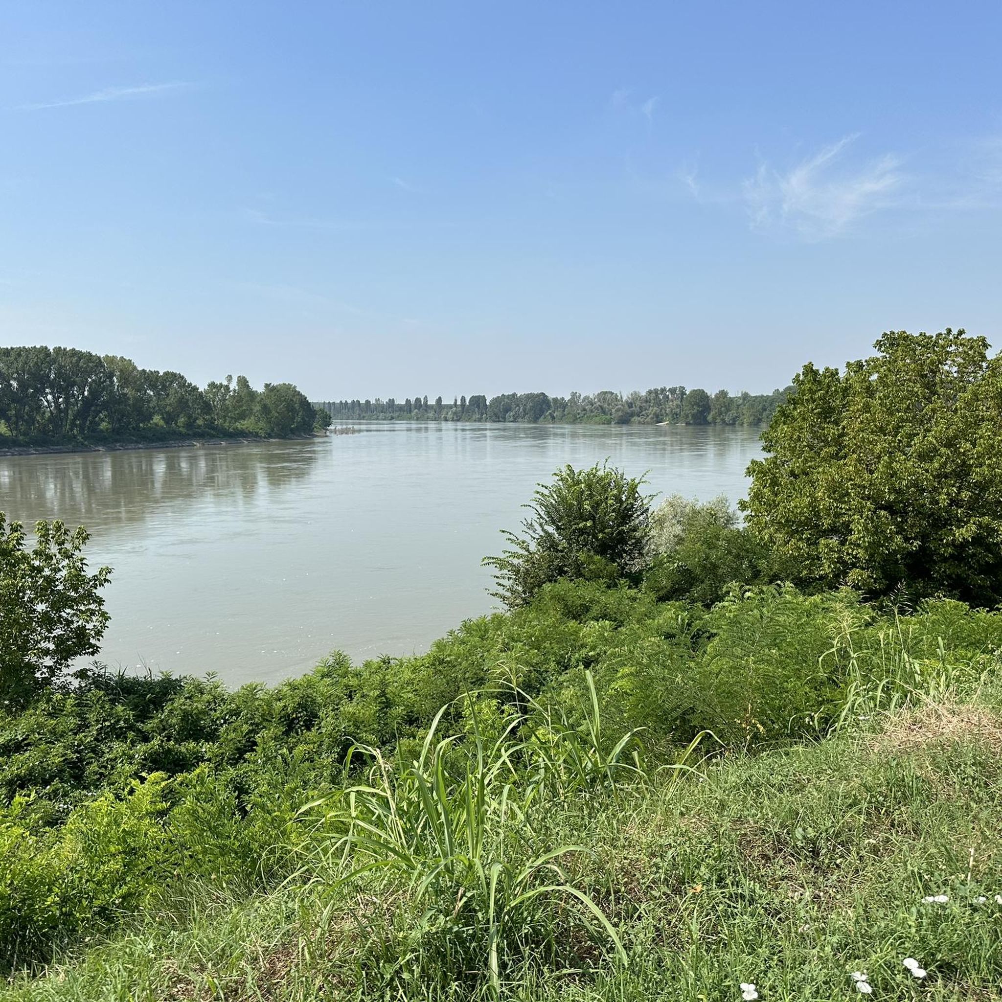
Jogging around Bagnolo San Vito offers a network of routes primarily characterized by flat terrain and riverside paths. The region is defined by its waterways, including the Mincio River and various canals, providing level surfaces suitable for running. With minimal elevation changes, the landscape is generally open, featuring agricultural areas and green spaces.
Best jogging routes around Bagnolo San Vito
- The most popular jogging route is Right Mincio Cycle Path, a 6.1 miles (9.8 km) trail that takes 1 hour 2 minutes to complete. This route follows the Mincio River, offering a consistent and scenic path.
- Another top favourite among local runners is Palazzo Te – Kiosk in the Park loop from Pietole, a moderate 7.2 miles (11.6 km) path. This route combines urban parkland with open areas, providing varied scenery.
- Local runners also love the Along the Canal loop from San Biagio, a 3.5 miles (5.7 km) trail leading through canal-side landscapes, often completed in about 35 minutes.
- Jogging around Bagnolo San Vito is defined by canal paths, riverside routes, and open countryside, with options for easy, moderate, and more challenging running experiences. The network includes more than 100 routes suitable for various ability levels.
- The routes in Bagnolo San Vito are highly rated by the komoot community with an average score of 4.8 stars from more than 50 reviews. More than 4000 runners have used komoot to explore Bagnolo San Vito's varied terrain.
Last updated: October 10, 2026
2
runners
9.75km
01:02
20m
20m
This moderate 6.1-mile jogging route around Bagnolo San Vito offers scenic paths along the canal, passing sunflower fields and the lakes of
22
runners
5.71km
00:35
10m
10m
Moderate run. Good fitness required. Mostly paved surfaces. Suitable for all skill levels.

22
runners
7.89km
00:49
10m
10m
Moderate run. Good fitness required. Mostly paved surfaces. Suitable for all skill levels.
8
runners
5.06km
00:31
10m
10m
Moderate run. Good fitness required. Mostly paved surfaces. Suitable for all skill levels.
6
runners
Hard run. Very good fitness required. Mostly paved surfaces. Suitable for all skill levels.
Get access to more routes and recommendations from other explorers.
Already have an account?
Our route recommendations are based on thousands of hikes, rides, and runs completed by other people on komoot.
Start today with a free account
Your next adventure awaits.

Other adventures around Bagnolo San Vito

Tips from the Community

Road surface with gravel and puddles
2
0

This cycle route starts from Cerese, passes through the Napoleonic fort of Pietole, along the Mincio embankment up to the Trivata water pump, descends towards Bagnolo San Vito, passes alongside San Biagio on the left and the Forcello archaeological park on the right and returns to Cerese passing through the fort again, the surface is asphalted for long stretches, the dirt road is only on the embankment between old Pietole and the Idrovora
2
0

Watch out for nutria
1
0

classic water lifting system.
3
0
route practicable in all seasons, beautiful views over the countryside.
2
1
Beautiful dirt cycle path along the Mincio embankment, interesting for beautiful landscape views
2
1
Frequently Asked Questions
How many running routes are available in Bagnolo San Vito?
Bagnolo San Vito offers a comprehensive network of nearly 200 running routes. These paths cater to various preferences, with options ranging from easy strolls to more challenging runs, primarily along flat terrain and riverside paths.
What kind of terrain can I expect on the jogging trails around Bagnolo San Vito?
The jogging trails in Bagnolo San Vito are predominantly characterized by flat terrain and riverside paths. You'll find routes along the Mincio River and various canals, offering minimal elevation changes and generally open landscapes featuring agricultural areas and green spaces.
Are there any easy or beginner-friendly running routes in Bagnolo San Vito?
Yes, Bagnolo San Vito has 12 easy running routes perfect for beginners or those looking for a relaxed jog. These routes typically feature flat surfaces and scenic views, making them accessible for all fitness levels.
Can I find circular running routes in the Bagnolo San Vito area?
Absolutely. Many routes in Bagnolo San Vito are designed as loops, allowing you to start and finish in the same location. An example is the Along the Canal loop from San Biagio, which is 3.5 miles (5.7 km) long and takes about 35 minutes to complete.
What are some scenic points or natural attractions along the running paths?
While running, you can explore several natural attractions. Consider routes near the Vallazza Nature Reserve or the Paludi di Ostiglia Nature Reserve. You might also encounter beautiful sights like the Lotus Flower on Lake Superiore, Mantua, especially during the blooming season.
Are the running trails in Bagnolo San Vito suitable for families?
Given the predominantly flat terrain and well-maintained paths along rivers and canals, many running routes in Bagnolo San Vito are suitable for families. The minimal elevation changes make them less strenuous and enjoyable for all ages.
What do other runners say about the trails in Bagnolo San Vito?
The running routes in Bagnolo San Vito are highly regarded by the komoot community, boasting an average rating of 4.8 stars from over 50 reviews. Runners often praise the consistent and scenic riverside paths, as well as the varied scenery that combines urban parkland with open areas.
What is the average length of a running trail in Bagnolo San Vito?
The running trails in Bagnolo San Vito vary in length. For instance, the Right Mincio Cycle Path is 6.1 miles (9.8 km), while the Palazzo Te – Kiosk in the Park loop from Pietole is 7.2 miles (11.6 km). There are also shorter options like the Running loop from Correggio Micheli at 3.1 miles (5.0 km).
Are there any running routes that pass by lakes or water bodies?
Yes, the region is defined by its waterways. Many routes follow the Mincio River and various canals. You can find paths that offer views of Lake Superiore, such as those near the Sunset View of Lago Superiore and Lotus Flowers highlight.
Are there any challenging running routes for experienced runners?
While the region is generally flat, there are 40 routes classified as difficult, offering longer distances or slightly more varied terrain for experienced runners. These routes still maintain the characteristic minimal elevation changes but provide a greater endurance challenge.
What are some less-known or 'hidden gem' running trails in the area?
For a less crowded experience, consider exploring trails that venture deeper into the agricultural areas or lesser-known canal paths. The Along the Canal loop from Pietole offers a pleasant 4.8-mile (7.7 km) run through canal-side landscapes, providing a quieter alternative.
What is the best time of year to go running in Bagnolo San Vito?
The best time for running in Bagnolo San Vito is generally during spring and autumn when temperatures are mild and the natural scenery is vibrant. Summer can be warm, but early mornings or late evenings offer pleasant conditions. Winter running is also possible, given the flat terrain and lack of significant snow in most years.
Most popular routes around Bagnolo San Vito
Most popular attractions around Bagnolo San Vito

Get inspired with the komoot mobile app


Explore more
Browse the best Running Trails & Routes in other regions.
