The best walks and hikes around Montegrino Valtravaglia
4.5
(7090)
28,214
hikers
12
hikes
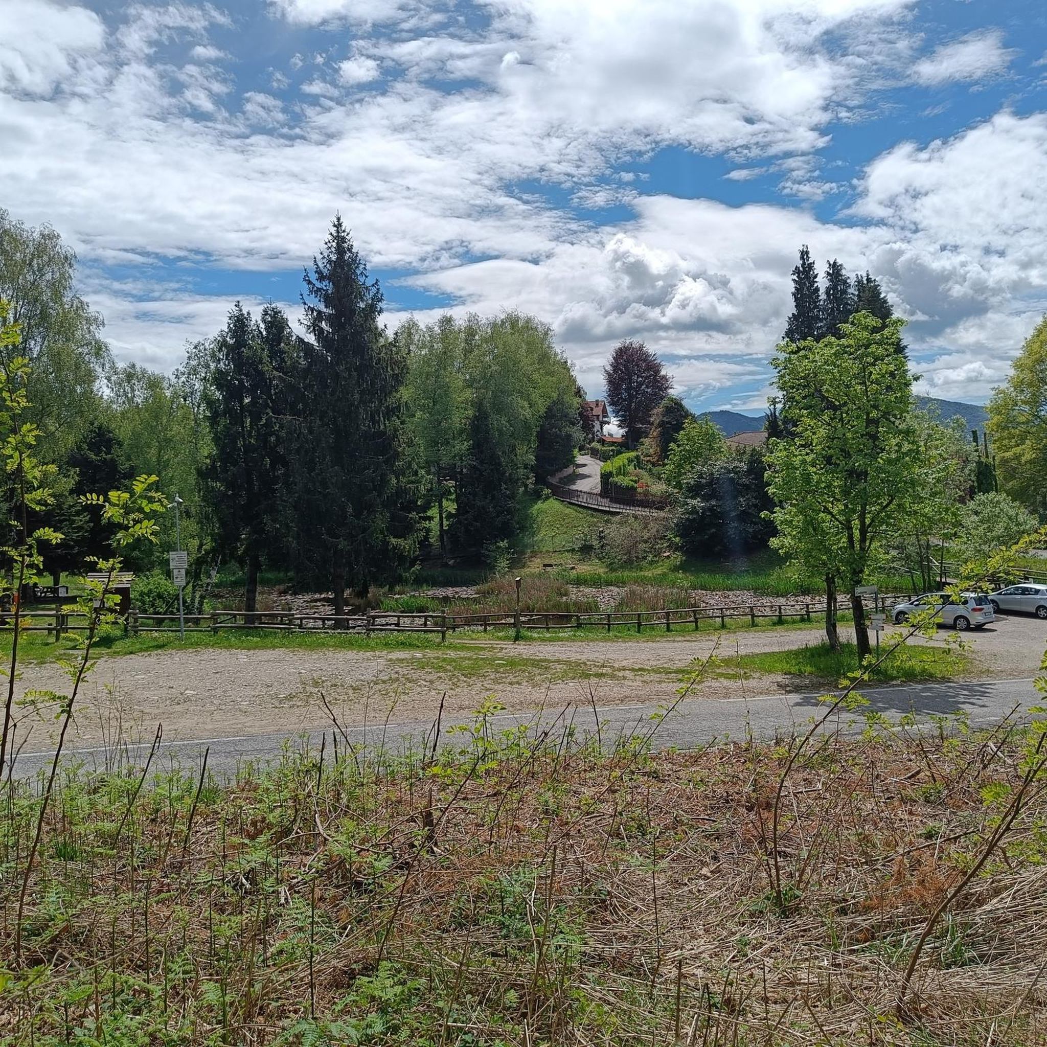
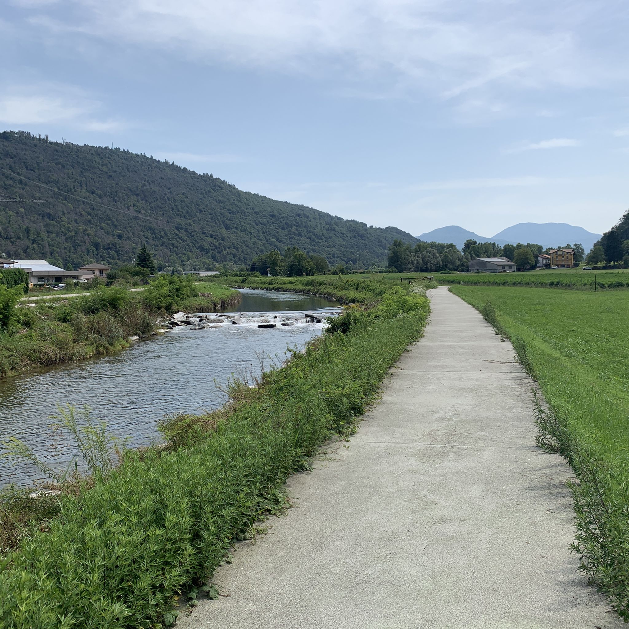
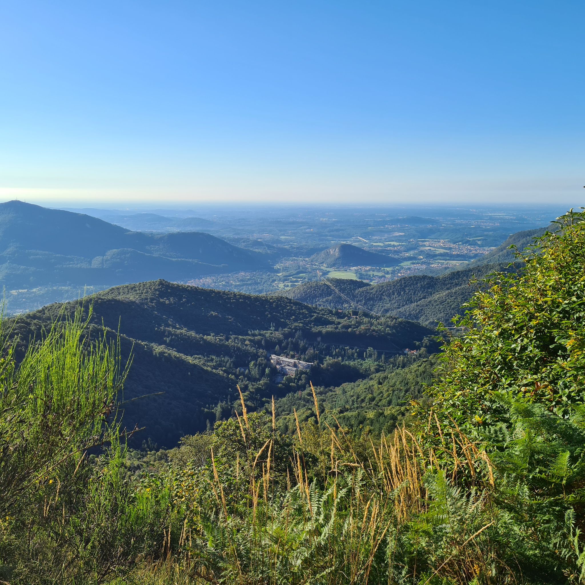
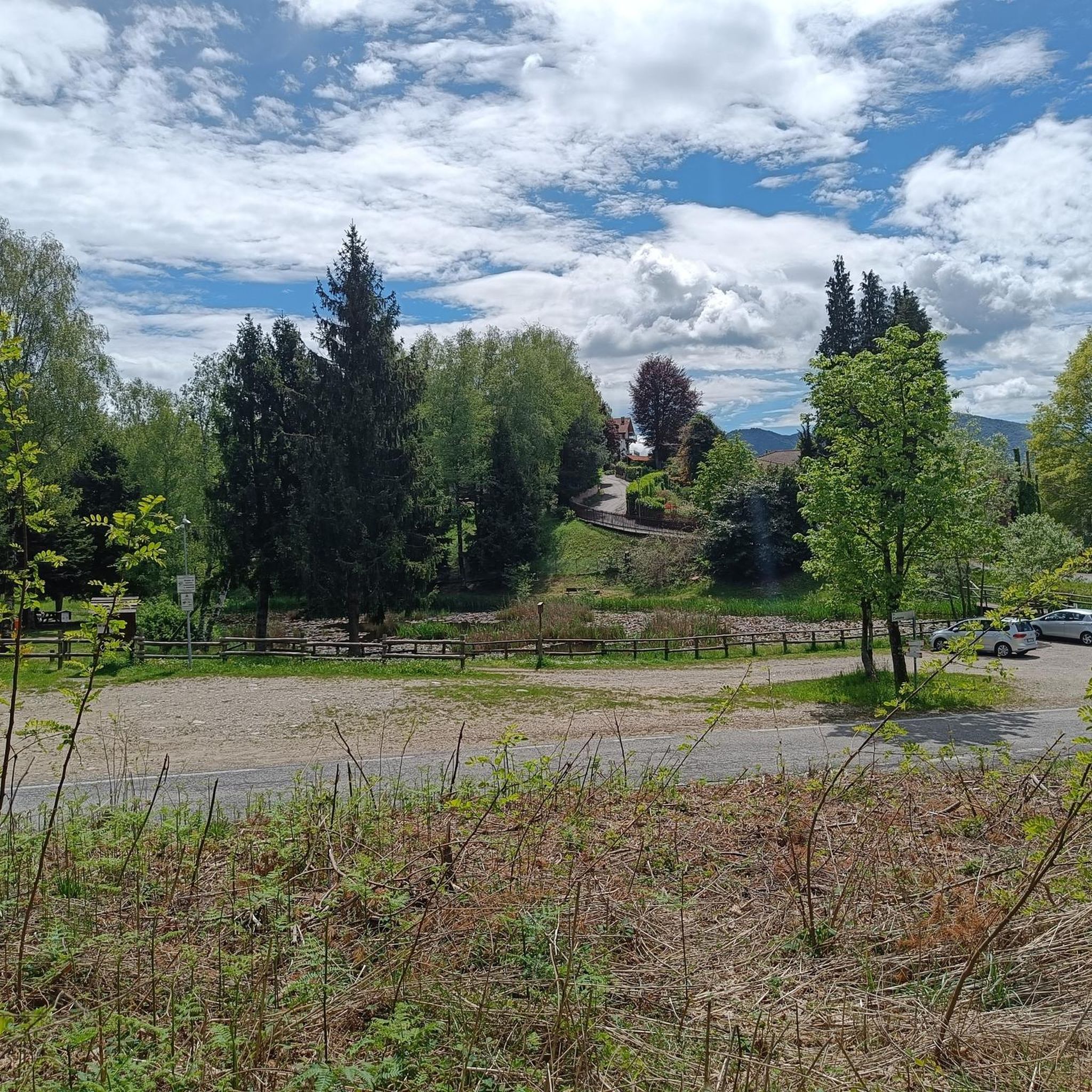
Hiking around Montegrino Valtravaglia offers a diverse landscape characterized by rolling hills, dense woodlands, and scenic views. The region features elevations such as Monte Sette Termini, providing varied terrain for outdoor activities. Trails often lead through forested areas and past small lakes, offering a mix of natural beauty and tranquil environments.
Best hiking trails around Montegrino Valtravaglia
- The most popular hiking route is Monte Sette Termini – loop tour, a 2.6 miles (4.1 km) trail that takes 1 hour…
Last updated: October 10, 2026
5.0
(2)
13
hikers
4.14km
01:29
160m
160m
Moderate hike. Great for any fitness level. Mostly accessible paths. Sure-footedness required.
5.0
(1)
7
hikers
9.64km
03:31
510m
510m
Historic hike through WWI trenches and bunkers with stunning views of Lakes Maggiore and Lugano.

3.5
(2)
3
hikers
8.71km
02:46
310m
310m
Hike 5.4 miles (8.7 km) from Grantola to Montegrino Valtravaglia on a moderate trail through the Italian countryside, gaining 1022 feet (311
5.0
(1)
2
hikers
12.0km
05:19
730m
730m
Hike the difficult 7.4-mile Via Verde Varesina: Stage 7 Variant to Monte Sette Termini, gaining 2400 feet with historical views.
4.0
(21)
65
hikers
7.57km
02:42
310m
310m
Moderate hike. Good fitness required. Mostly accessible paths. Sure-footedness required.
Get access to more routes and recommendations from other explorers.
Already have an account?
Our route recommendations are based on thousands of hikes, rides, and runs completed by other people on komoot.
Start today with a free account
Your next adventure awaits.

Tips from the Community

Unfortunately, the spot is completely overgrown, no view
0
0
The observation tower has long since fallen into disrepair and only serves as a shade provider. Many trees obstruct the view, the view is mediocre. Otherwise a quiet resting spot. Not worth the climb.
0
0

Photo of the flat, wooded summit of Mount Sette Termini
0
0

Unsafe to climb on this now.
0
0

Watchtower on the route leading to Monte Sette Termini.
1
1
The walk to Monte Sette Termini is simple and accessible to everyone. Along the path there are some beautiful panoramic points, while the summit is immersed in a forest.
1
0


Mount Sette Termini From Wikipedia, the free encyclopedia. Monte Sette Termini (972 m asl - also known as I Bedroni) is a mountain of the Varesine Prealps, part of the Piambello-Campo dei Fiori-Nudo chain, located in the north of the Province of Varese a few kilometers as the crow flies from the border with Switzerland. Toponym Its name I Bedroni derives from the fact that its sides, especially the western side facing Lake Maggiore, are mainly covered with birch woods (Bedloni or Bedroni, in Lombard dialect). However, there are other essences such as beeches, oaks, downy oaks, ash trees. But to cover the south side, from the proximity of the mountain top to almost the height of Montegrino, there is still today a fantastic pine forest which unfortunately has been greatly reduced in recent years, due to the climate changes underway. Climb to the summit From Montegrino Valtravaglia or from Cugliate-Fabiasco, you can comfortably climb the mountain up to its summit with a former military road, built during the First World War and today well asphalted even if a little narrow. This track is quite popular with cyclists, in particular it is suitable for those who are new to cycling, as it is never too steep and long. The summit, located just above a hunting lodge, is entirely covered by woods. To enjoy a good view of the Alps and Lake Maggiore, you have to stop at the shed. On the slopes of the mountain, there are historical testimonies of the First World War, with fortifications, trenches and tunnels that today are in a state of neglect.
0
0
Frequently Asked Questions
What types of hiking trails can I find in Montegrino Valtravaglia?
Montegrino Valtravaglia offers a diverse range of hiking trails, from easy strolls to more challenging routes. The region features rolling hills, dense woodlands, and scenic views, with elevations like Monte Sette Termini providing varied terrain. You'll find options suitable for different fitness levels, including 2 easy, 9 moderate, and 1 difficult route.
Are there any easy or beginner-friendly hikes in Montegrino Valtravaglia?
Yes, Montegrino Valtravaglia has several easy routes perfect for beginners or those looking for a relaxed walk. For example, the Monte Sette Termini – loop tour is a moderate 4.1 km trail that can be completed in about 1 hour 29 minutes, offering a gentle introduction to the area's beauty.
Are there any circular hiking routes available in Montegrino Valtravaglia?
Many trails in Montegrino Valtravaglia are designed as circular routes, allowing you to start and end at the same point. A popular option is the Laghetto delle Bolle – Abandoned Stone Bunker loop from Montegrino Valtravaglia, which is a moderate 8.2 km path featuring a small lake and historical structures.
What kind of natural sights or landmarks can I expect to see along the trails?
The trails often lead through forested areas and past small lakes, offering tranquil environments. You might also encounter historical structures, such as the abandoned stone bunker on the Laghetto delle Bolle loop. The region's hills provide numerous viewpoints overlooking the surrounding landscape.
What do other hikers enjoy most about Montegrino Valtravaglia?
The hiking experience in Montegrino Valtravaglia is highly rated by the komoot community, with an average score of 4.5 stars from over 6,500 reviews. Hikers often praise the diverse landscape, which includes rolling hills, dense woodlands, and scenic views, as well as the well-maintained paths that cater to various skill levels.
Are there any longer or more challenging hikes for experienced trekkers?
Yes, for more experienced hikers, there are longer and more challenging routes. The Via Verde Varesina: Stage 7 Variant to Monte Sette Termini is a difficult 12 km trail with significant elevation changes, offering a strenuous but rewarding experience.
What are some notable attractions or points of interest near the hiking areas?
Beyond the trails, the region offers several interesting attractions. You can explore charming settlements like Morcote Village or Cannero Riviera. For historical interest, consider visiting the Orino Fortress or the Ruins of Meriggino Castle. Scenic viewpoints, such as the View of Lake Maggiore from the terrace of the Church of San Gottardo, are also accessible.
Can I find trails that lead to viewpoints with panoramic vistas?
Absolutely. Given the region's hilly terrain, many routes offer opportunities for panoramic views. Trails around Monte Sette Termini, for instance, provide elevated perspectives of the surrounding landscape. You can also find specific viewpoints like the View of the Castles of Cannero.
Are there any trails that pass by lakes or bodies of water?
Yes, Montegrino Valtravaglia's hiking network often includes routes that pass by small lakes, contributing to the tranquil atmosphere. The Laghetto delle Bolle – Abandoned Stone Bunker loop is a prime example, featuring a small lake along its path.
How many hiking routes are there in total around Montegrino Valtravaglia?
There are over 10 distinct hiking routes available around Montegrino Valtravaglia, offering a variety of distances and difficulty levels to explore the region's natural beauty.
What is the typical duration for a hike in Montegrino Valtravaglia?
Hiking durations vary significantly depending on the route's length and difficulty. Shorter, easy trails like the Monte Sette Termini – loop tour can take around 1 hour 29 minutes, while longer, more challenging routes such as the Via Verde Varesina: Stage 7 Variant to Monte Sette Termini can take over 5 hours.
Are there any trails connecting Montegrino Valtravaglia to nearby towns?
Yes, some routes connect Montegrino Valtravaglia with neighboring areas. For example, the From Grantola to Montegrino Valtravaglia (via Route 415) is an 8.7 km trail that allows you to traverse varied terrain between these locations.
Most popular routes around Montegrino Valtravaglia
Most popular attractions around Montegrino Valtravaglia

Get inspired with the komoot mobile app


Explore more
Browse the best Hikes in other regions.
