The best walks and hikes around Capo Di Ponte
4.4
(870)
5,428
hikers
26
hikes
Hiking around Capo Di Ponte offers diverse terrain within the Valle Camonica, characterized by its significant archaeological sites and varied natural landscapes. The region features mountainous areas, including passes and peaks, alongside river valleys carved by the Oglio River. Hikers can explore forests of chestnut, fir, beech, and hornbeam trees, often encountering ancient rock engravings and historical structures. This combination provides a unique setting for outdoor activities, blending natural beauty with cultural heritage.
Best hiking trails in Capo Di Ponte
…Last updated: August 15, 2026
4.5
(15)
88
hikers
3.42km
01:02
120m
120m
Easy hike. Great for any fitness level. Easily-accessible paths. Suitable for all skill levels.
4.6
(17)
74
hikers
9.83km
04:08
830m
830m
Moderate hike. Good fitness required. Easily-accessible paths. Suitable for all skill levels.

Sign up for free
4.5
(11)
37
hikers
7.06km
02:56
570m
570m
Moderate hike. Good fitness required. Easily-accessible paths. Suitable for all skill levels.
4.3
(3)
16
hikers
Easy hike. Great for any fitness level. Easily-accessible paths. Suitable for all skill levels.
4.5
(6)
11
hikers
Moderate hike. Good fitness required. Easily-accessible paths. Suitable for all skill levels.
Get access to more routes and recommendations from other explorers.
Sign up for free
Already have an account?
Our route recommendations are based on thousands of hikes, rides, and runs completed by other people on komoot.
Start today with a free account
Your next adventure awaits.
Login or Signup
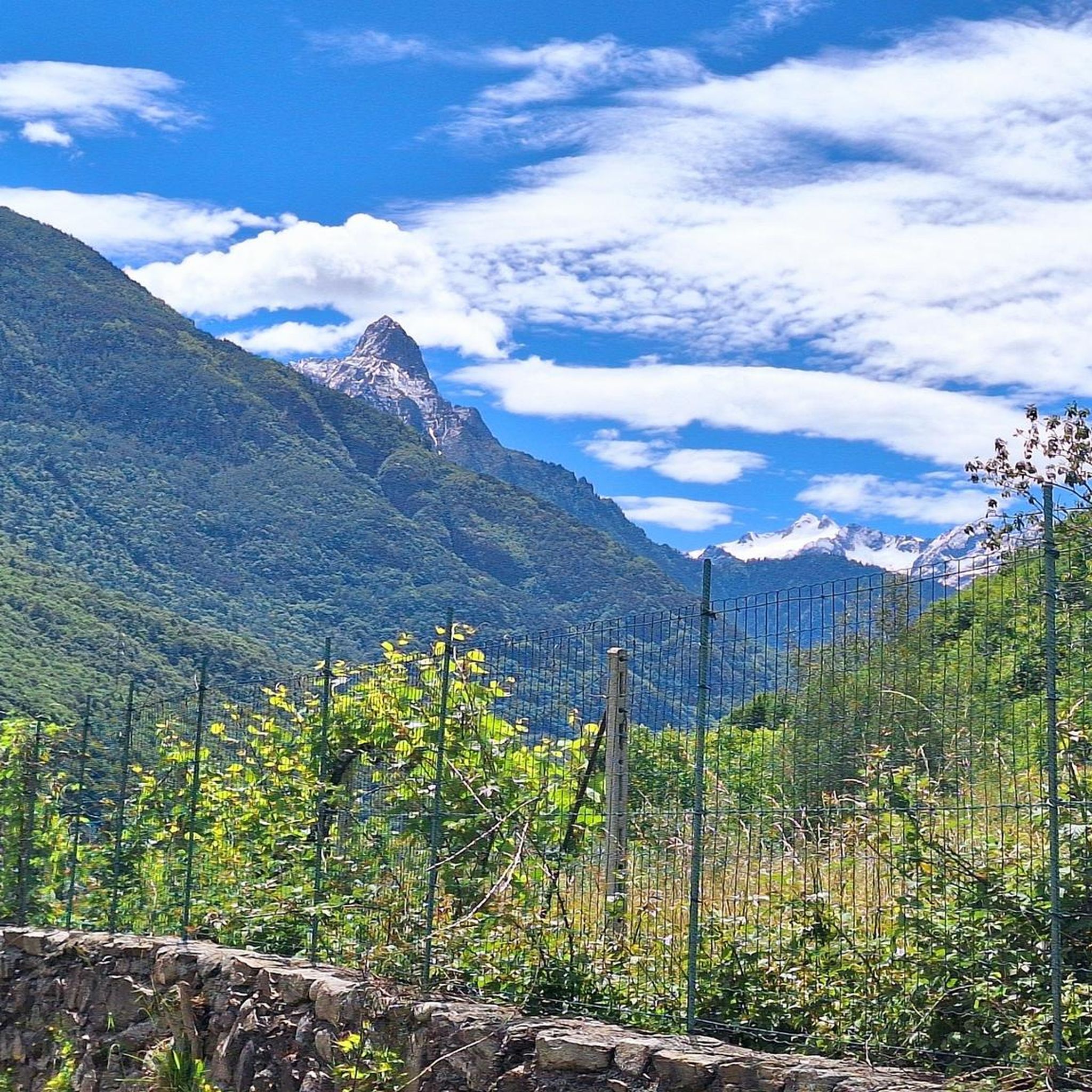
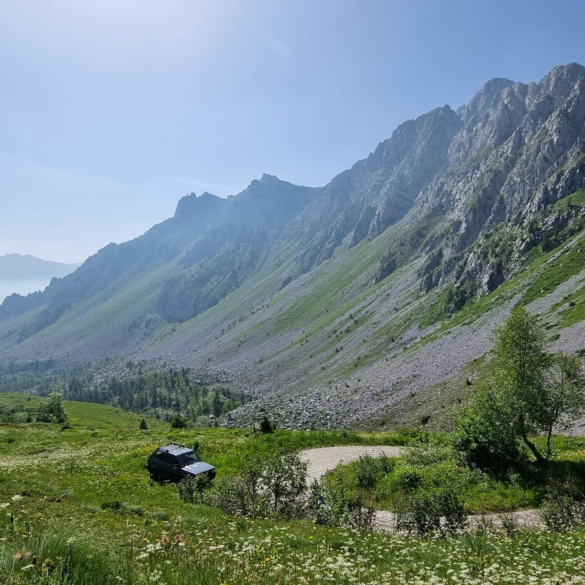
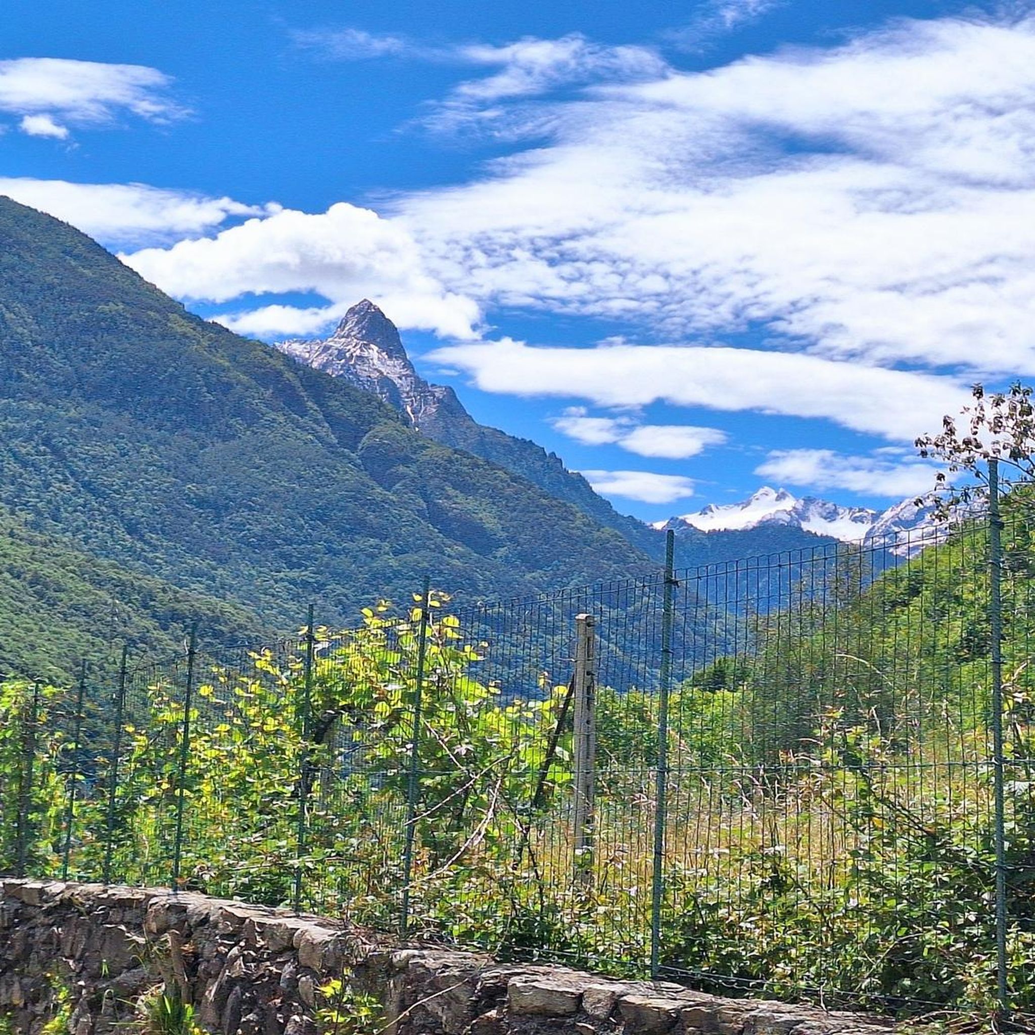
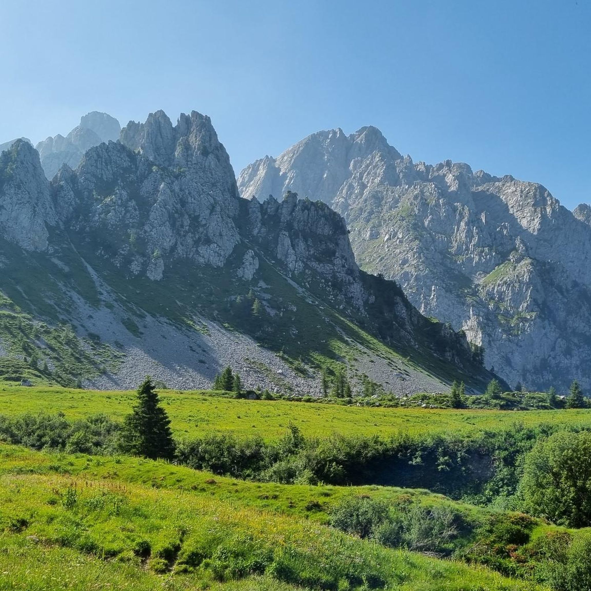


Tips from the Community

Very clearly recognizable petroglyphs, tasteful layout.
0
0

Beautiful location with a panoramic terrace overlooking the Concarena and Pizzo Badile as well as the valley
0
0

Beautiful mountain hamlet that reminds me of Rango and Tenno, because of the faces.
0
1

Valcamonica is Italy's first UNESCO World Heritage Site. Here you can see why.
0
0

von Dir. Dr. Ausilio Priuli in Cemmo
0
1
Frequently Asked Questions
How many hiking trails are available in Capo Di Ponte?
Capo Di Ponte offers a diverse network of over 25 hiking trails. These range from easy walks to more challenging ascents, catering to various fitness levels.
What kind of terrain can I expect when hiking in Capo Di Ponte?
The terrain around Capo Di Ponte is quite varied, featuring rugged mountainous landscapes, dense forests of chestnut, fir, beech, and hornbeam trees, and river valleys carved by the Oglio River. You'll encounter significant elevation changes on some routes, while others offer gentler paths through archaeological parks.
Are there any easy hiking trails suitable for beginners or casual walkers?
Yes, Capo Di Ponte has 10 easy trails perfect for beginners or those seeking a relaxed walk. A popular option is the Hiking loop from Capo di Ponte, an easy 2.6 miles (4.1 km) path that takes about 1 hour 14 minutes. Another is the Fontana di Piazza Roma – Romanesque Church of San Siro loop from Capo di Ponte, which is 2.5 miles (4.0 km) and takes about 1 hour 12 minutes.
Can I find circular hiking routes in Capo Di Ponte?
Yes, many of the trails in Capo Di Ponte are designed as loops, allowing you to start and end at the same point. For example, the Valcamonica Rock Engravings – Fontana di Piazza Roma loop from Capo di Ponte offers a moderate 4.7-mile (7.5 km) experience, combining natural beauty with historical sites.
What historical or archaeological sites can I visit while hiking?
Capo Di Ponte is renowned for its UNESCO World Heritage prehistoric rock engravings. You can hike through areas like the National Park of Rock Engravings (Naquane) or the Archaeological Park of Massi di Cemmo. Trails often lead past ancient human settlements, the Romanesque church of San Siro, and the sanctuary of Santa Maria ad Elisabetta, offering a unique blend of nature and history.
Are there any mountain huts or refuges along the trails?
Yes, the mountainous terrain around Capo Di Ponte features several mountain huts that serve as important waypoints and refuges for trekkers. Notable ones include the Campione Hut and the Cimon della Bagozza Hut. You might also encounter the Colombé Hut and the Don Giulio Corini Bivouac on longer excursions.
What are some notable natural features or viewpoints to look out for?
Hikers can enjoy panoramic views from various points, such as the Campelli Pass, which sits at 1,889 meters and offers expansive vistas of the Scalve and Camonica valleys. The Oglio River adds to the scenic beauty, and you'll find diverse forests throughout the region.
Is Capo Di Ponte a good destination for family hikes?
Absolutely. Capo Di Ponte offers a range of easy walks, particularly those through the Rock Engravings Park, which are suitable for families. These paths allow for light physical activity combined with an engaging archaeological discovery, making them enjoyable for all ages.
Are dogs allowed on the hiking trails in Capo Di Ponte?
While specific regulations can vary by park or protected area, generally, dogs are welcome on many hiking trails in Capo Di Ponte, provided they are kept on a leash and owners clean up after them. It's always advisable to check local signage or park rules for any specific restrictions, especially within archaeological sites.
How can I get to the trailheads, and is parking available?
Capo Di Ponte is accessible, and parking is generally available near popular trailheads and in the town center. For specific routes, it's recommended to check the route details on komoot for information on starting points. Public transport options to Capo Di Ponte are also available, connecting it to larger towns in Valle Camonica.
What is the best time of year to go hiking in Capo Di Ponte?
Capo Di Ponte offers rewarding hiking experiences in most seasons. Spring and autumn provide pleasant temperatures and vibrant natural colors, ideal for exploring. Summer is also popular, though some higher-altitude trails might be more challenging due to heat. Winter offers opportunities for ski mountaineering and snow excursions for experienced individuals.
What do other hikers say about the trails in Capo Di Ponte?
The hiking trails in Capo Di Ponte are highly rated by the komoot community, with an average score of 4.5 stars from over 800 reviews. Hikers frequently praise the unique combination of natural beauty with significant archaeological and historical sites, as well as the variety of trails available for different skill levels.
Are there any longer or more challenging hikes for experienced trekkers?
Yes, for experienced hikers, Capo Di Ponte offers 5 difficult routes with significant elevation gains. An example is the Pescarzo Historic Village – Baita Iseo Restaurant loop from Capo di Ponte, a challenging 9.4-mile (15.1 km) route that takes over 6 hours to complete and ascends nearly 1,000 meters. These routes often lead to peaks like Pizzo Badile Camuno or mountain lakes like Laghetto del Piz Tri.
Most popular routes around Capo Di Ponte
Most popular attractions around Capo Di Ponte

Get inspired with the komoot mobile app


Explore more
Browse the best Hikes in other regions.
