The best road cycling routes around Cedegolo
4.7
(50)
2,389
riders
38
rides
Road cycling routes around Cedegolo are set within Italy's Valle Camonica, a region characterized by its position in a narrow gorge carved by the Oglio River. The area is surrounded by the southern Rhaetian Alps and the Adamello mountain group, offering diverse landscapes for cyclists. This mountainous terrain features several glacial lakes, including Lago d'Arno and Lago Rotondo, which add to the scenic allure. The well-paved surfaces provide suitable conditions for road bikes, with routes ranging from valley paths to…
Last updated: October 9, 2026
3.9
(7)
170
riders
64.3km
02:55
600m
600m
Moderate road ride. Good fitness required. Some segments of this route may be unpaved and difficult to ride.
5.0
(2)
66
riders
47.6km
03:09
1,480m
1,480m
Hard road ride. Very good fitness required. Mostly well-paved surfaces and easy to ride.

61
riders
40.4km
01:54
450m
450m
Moderate road ride. Good fitness required. Mostly well-paved surfaces and easy to ride.
5.0
(2)
112
riders
42.2km
02:00
490m
490m
Moderate road ride. Good fitness required. Mostly well-paved surfaces and easy to ride.
89
riders
67.5km
04:13
1,820m
1,820m
Hard road ride. Very good fitness required. Mostly well-paved surfaces and easy to ride.
Get access to more routes and recommendations from other explorers.
Already have an account?
Our route recommendations are based on thousands of hikes, rides, and runs completed by other people on komoot.
Start today with a free account
Your next adventure awaits.


Tips from the Community

By train to Edolo and then by bike up to Ponte di legno. The next day, departure in four stages to Mantua. Beautiful cycle path. Recommended
0
0

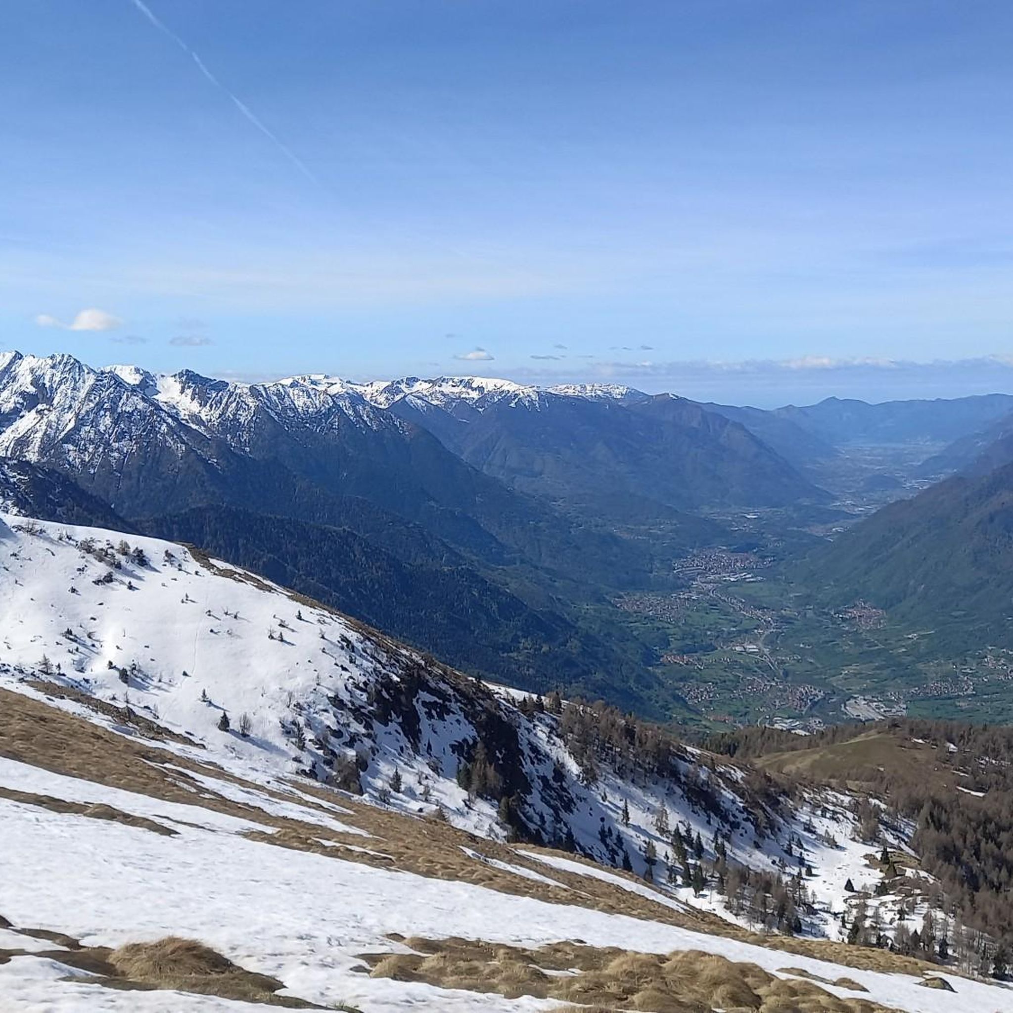
A village in the upper Camonica Valley at the confluence of the Oglio and Ogliolo rivers. Tonale and Val di Sole to the east, Aprica and Valtellina to the west, and Mortirolo to the north.
0
0

Cycling in the woods, waterfalls, streams and wooden animals… very suggestive
0
0

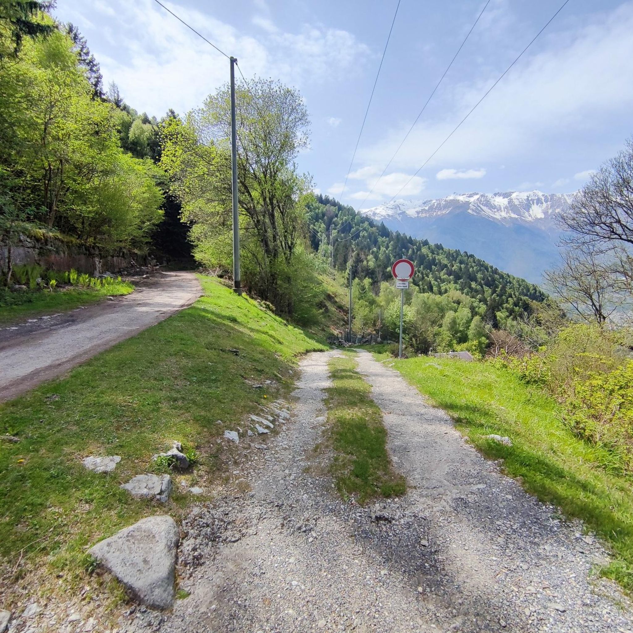
The climb to Passo del Vivione from Val Camonica, starting at Forno d'Allione, is long and challenging. It is about 20 kilometers long with almost 1400 meters of elevation gain. The road, which connects Val Camonica to Val di Scalve, winds through a wild environment and is often narrow and is a less busy climb than other Alpine passes.
1
0

historic bridge of Edolo, from which you take the cycle/pedestrian path to Ponte di Legno/Tonale
0
0

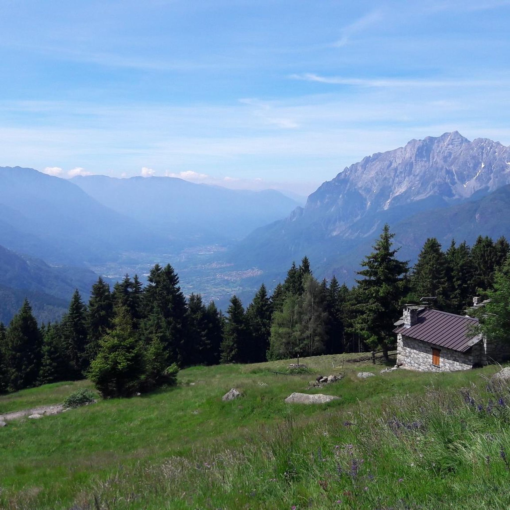
Beautiful refuge immersed in nature. Impossible not to stop after the hard climb pedaled😉
1
0

Leckeres Essen. Auch für eine Übernachtung geeignet wenn das Gemeinschaftsbad nicht stört.
1
0

Long climb immersed in the Brescian valleys frequented by cyclists and motorcyclists.
0
0
Frequently Asked Questions
What kind of terrain can I expect on road cycling routes around Cedegolo?
Road cycling routes around Cedegolo offer a diverse range of terrain. You'll find paths winding through the narrow gorge carved by the Oglio River, as well as challenging ascents into the southern Rhaetian Alps and the Adamello mountain group. Surfaces are generally well-paved, suitable for road bikes, and include both valley rides and demanding mountain climbs with significant elevation gains.
Are there routes suitable for beginners or those looking for an easier ride?
Yes, while the region is known for its challenging climbs, there are easier options available. For instance, the Mural on Roadside Building – Town Street loop from Sellero is classified as easy, offering a less demanding experience. The Oglio River Bike Trail, though long, also provides a more gradual journey through the valley.
What are some of the most challenging road cycling routes in the Cedegolo area?
For experienced cyclists seeking a challenge, the region offers routes with substantial elevation gains. The Gavia Pass – Ponte di Legno loop from Cedegolo is a difficult 107.1 km path with over 2,300 meters of ascent. Another demanding option is the Ponte Alto di Edolo – Climb to Lago dei Caprioli loop from Cedegolo, which features over 1,500 meters of climbing.
What natural features or landmarks can I see while cycling around Cedegolo?
The region is rich in natural beauty and historical sites. You can cycle past several glacial lakes, including Lago d'Arno and Lago Rotondo. The routes also offer views of the majestic southern Rhaetian Alps and the Adamello mountain group. Notable landmarks and points of interest include various mountain passes like Campelli Pass and Passo di Campo, as well as the Malga Bissina Dam.
Are there any historical or cultural sites accessible by road bike near Cedegolo?
Yes, the region has a rich history. You can explore parts of the ancient 'Via Valeriana,' a former Roman military road that now serves as a scenic route. The area is also home to the Antiquarium del Parco Nazionale Incisioni Rupestri, dedicated to ancient rock engravings, and is close to the medieval historic center of Cerveno. Cedegolo itself features historical buildings like Villa Simoncini.
What do other road cyclists think about the routes in Cedegolo?
The road cycling routes around Cedegolo are highly regarded by the komoot community, with an average score of 4.6 stars from over 30 reviews. Cyclists often praise the diverse terrain, from scenic valley rides along the Oglio River to challenging alpine ascents, and the well-paved surfaces suitable for road bikes.
When is the best time of year for road cycling in Cedegolo?
The best time for road cycling in Cedegolo is generally from late spring through early autumn. During these months, the weather is most favorable, and high mountain passes are typically clear of snow, allowing access to the full range of routes. Winter months are more suited for winter sports in nearby ski areas.
Are there any long-distance road cycling routes originating near Cedegolo?
Yes, the Oglio River Bike Trail is a significant long-distance option. This 280-kilometer path winds from the high summits of Valle Camonica down to the plains, passing by Lake Iseo, offering a comprehensive journey through the region's diverse landscapes.
Can I find circular road cycling routes around Cedegolo?
Many of the popular road cycling routes around Cedegolo are designed as loops, allowing you to start and finish in the same location. Examples include the moderate Town Street – By bike along the Oglio loop from Cedegolo and the more difficult Croce di Salven Pass – By bike along the Oglio loop from Sellero.
How many road cycling routes are available in the Cedegolo area?
There are over 30 road cycling routes available around Cedegolo, catering to various skill levels. This includes 6 easy routes, 18 moderate routes, and 12 difficult routes, ensuring options for every type of road cyclist.
Are there any specific passes or climbs that are particularly famous or challenging near Cedegolo?
The region is renowned for its challenging mountain passes. The Passo del Mortirolo, though not directly listed in the routes provided, is a famous and demanding climb in the broader area with an elevation gain of 1,160 meters. The Vivione Pass – Croce di Salven Pass loop also presents a significant challenge with 2,420 meters of ascent.
Most popular attractions around Cedegolo

Get inspired with the komoot mobile app


Explore more
Browse the best Road cycling routes in other regions.
