The best road cycling routes in Thurrock
4.4
(623)
12,120
riders
56
rides
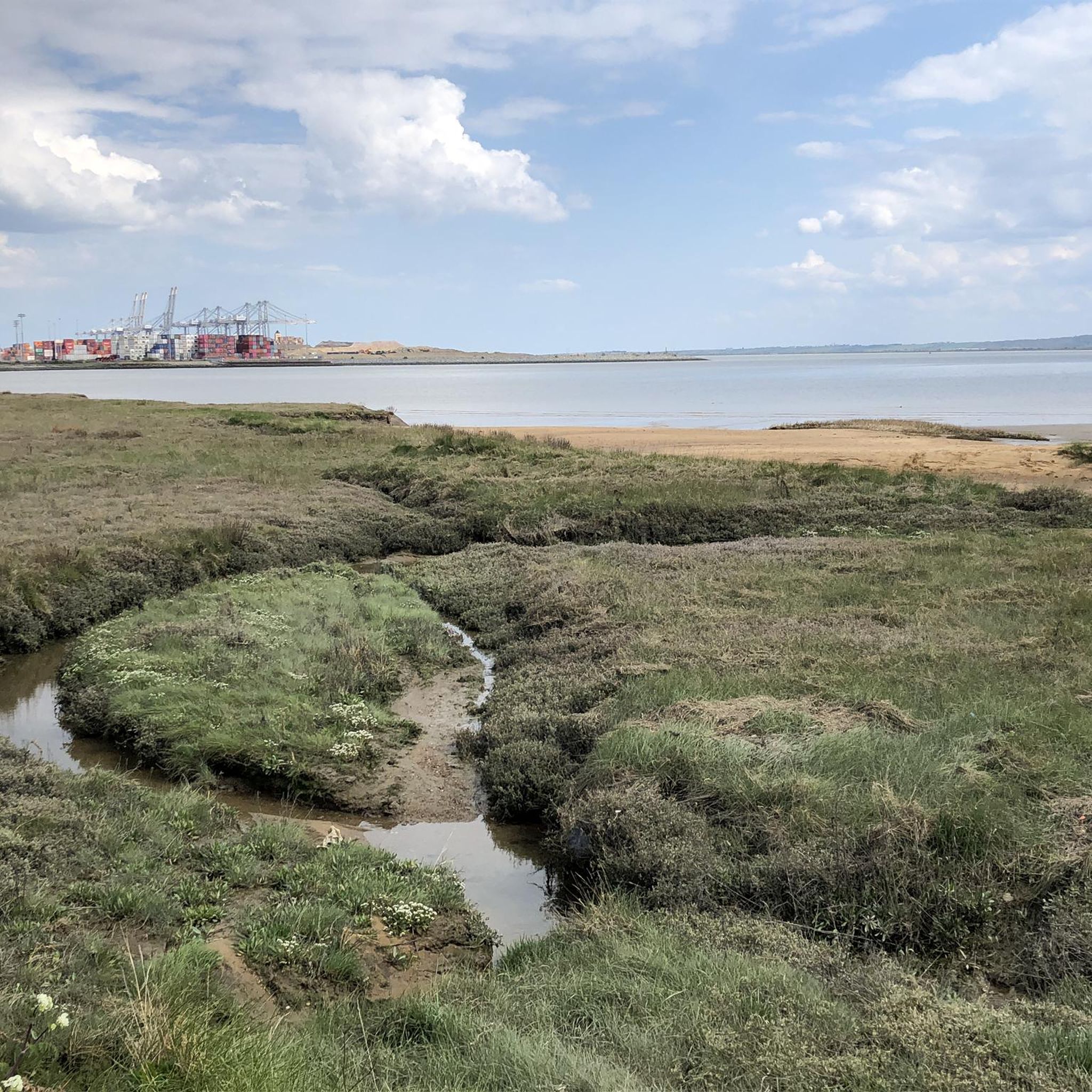
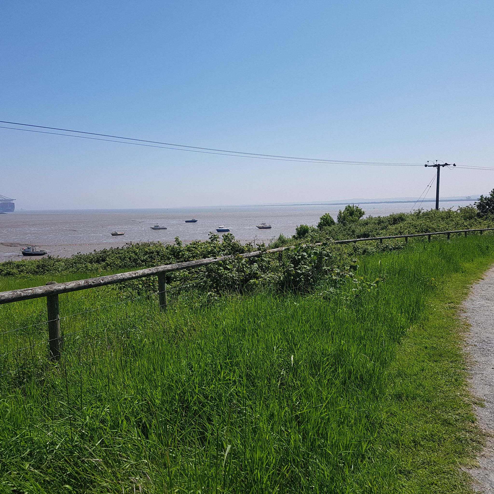
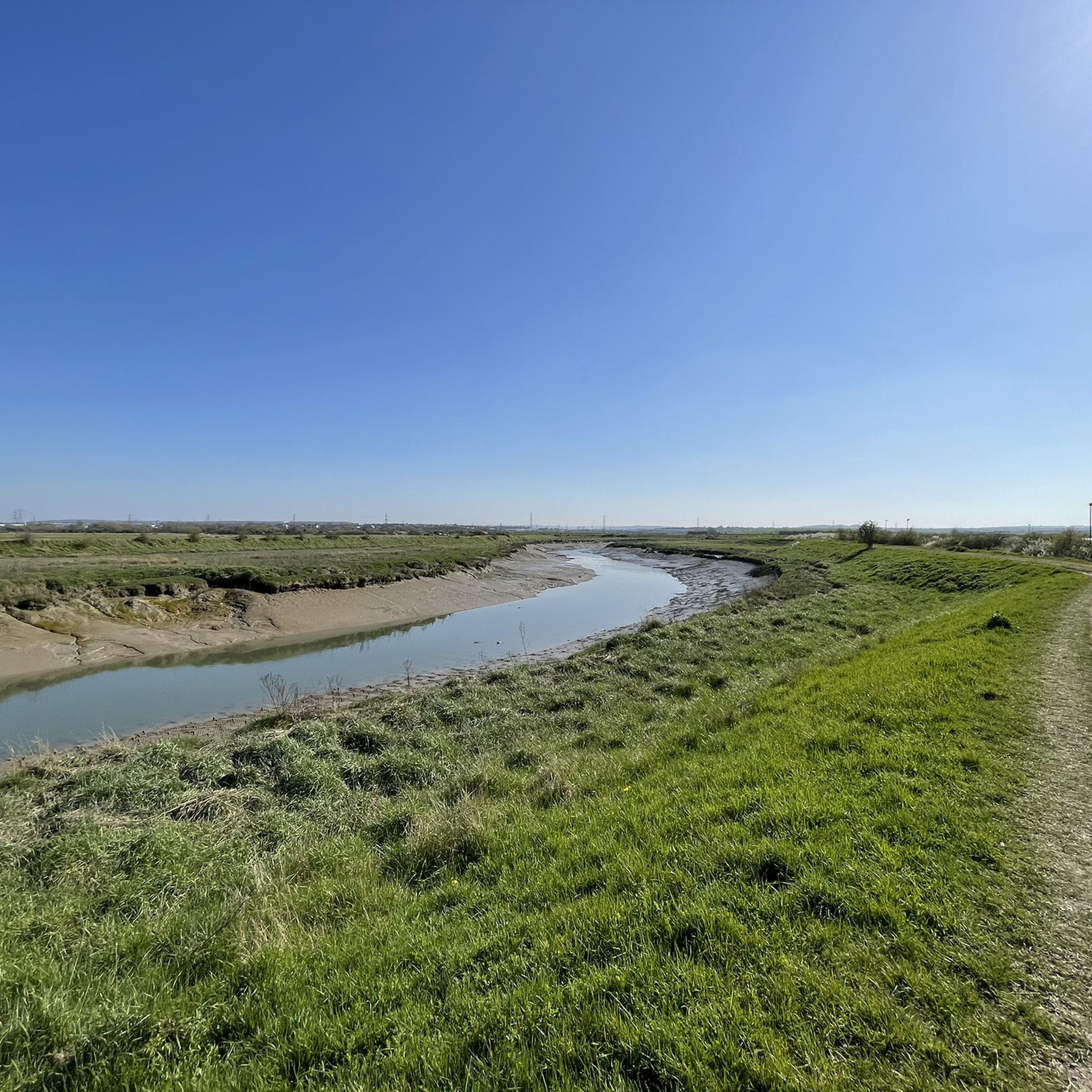
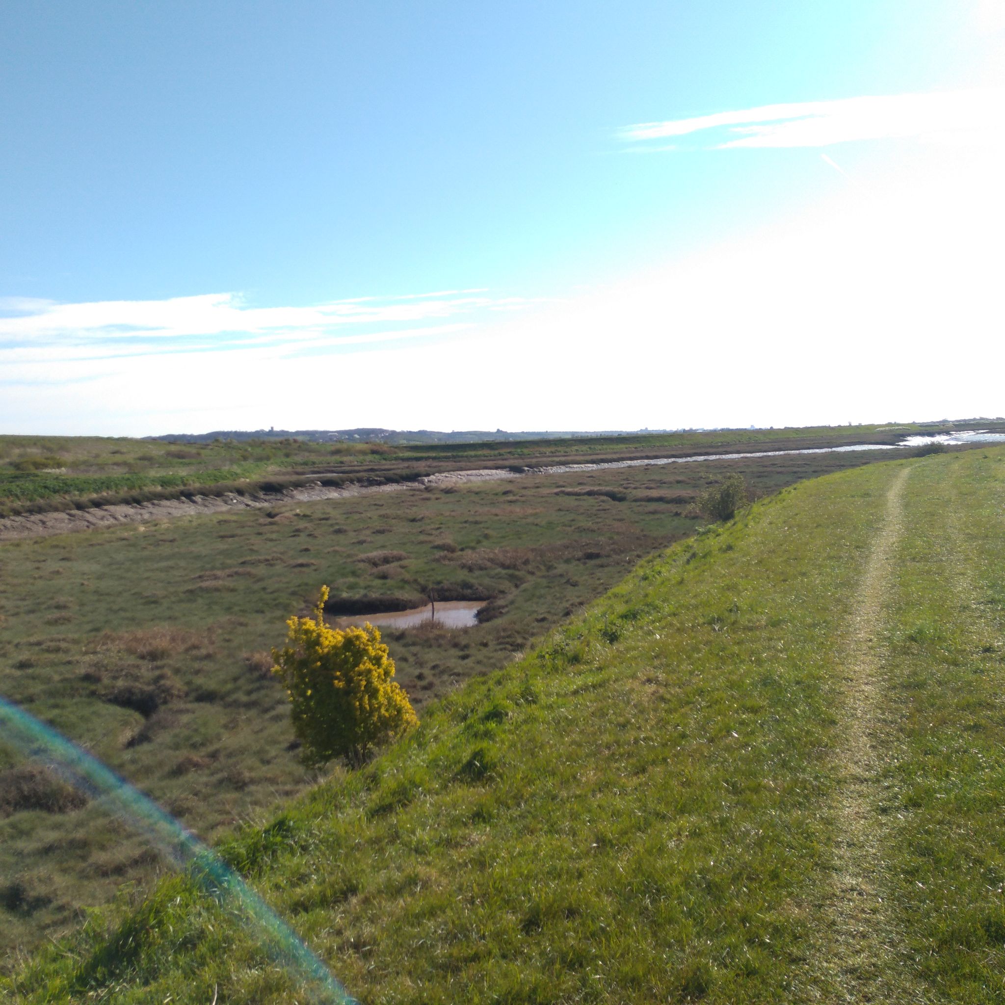
Road cycling routes in Thurrock traverse a diverse landscape, with over 60% of the region being rural. The area features scenic riverside paths along the Thames Estuary, offering views over the water. Cyclists encounter varied terrain, from flat sections at sea level to climbs reaching up to 114 meters, alongside rolling hills and fenland. Several nature parks and reserves, often developed from former sites, provide additional green spaces for exploration.
Best road cycling routes in Thurrock
- The most popular road…
Last updated: July 4, 2026
3.8
(59)
164
riders
55.2km
02:17
180m
180m
Moderate road ride. Good fitness required. Mostly well-paved surfaces and easy to ride.
4.3
(12)
124
riders
36.7km
01:33
120m
120m
Easy road ride. Great for any fitness level. Mostly well-paved surfaces and easy to ride.

Sign up for free
39
riders
44.6km
01:53
200m
200m
Easy road ride. Great for any fitness level. Mostly well-paved surfaces and easy to ride.
3.0
(1)
36
riders
53.3km
02:22
270m
270m
Moderate road ride. Good fitness required. Mostly well-paved surfaces and easy to ride.
21
riders
116km
05:06
620m
620m
Hard road ride. Very good fitness required. Mostly well-paved surfaces and easy to ride.
5.0
(1)
24
riders
66.2km
02:49
180m
180m
Moderate road ride. Good fitness required. Mostly well-paved surfaces and easy to ride.
4.0
(1)
21
riders
89.1km
03:55
480m
480m
Moderate road ride. Good fitness required. Some segments of this route may be unpaved and difficult to ride.
4.0
(1)
19
riders
111km
04:52
570m
570m
Moderate road ride. Good fitness required. Mostly well-paved surfaces and easy to ride.
15
riders
35.7km
01:39
170m
170m
Easy road ride. Great for any fitness level. Mostly well-paved surfaces and easy to ride.
5.0
(1)
12
riders
33.6km
01:25
140m
140m
Easy road ride. Great for any fitness level. Mostly well-paved surfaces and easy to ride.
Get access to more routes and recommendations from other explorers.
Sign up for free
Already have an account?
Our route recommendations are based on thousands of hikes, rides, and runs completed by other people on komoot.
Start today with a free account
Your next adventure awaits.
Login or Signup

Other adventures in Thurrock

Tips from the Community


The Tower of London is a historic fortress located on the north bank of the River Thames in London, next to Tower Bridge. The tower is located in the London Borough of Tower Hamlets, east of the City of London, in an area known as Tower Hill. Construction began around the end of 1066 as part of the Norman Conquest of England. The White Tower, which gave its name to the entire castle, was built on the orders of William the Conqueror in 1078 and was seen as a symbol of the oppression inflicted on London by the ruling class. The castle was used as a prison as early as 1100. It also served as a grand palace and royal residence. The entire tower is a complex of several buildings surrounded by two concentric defensive walls and a moat. There were several phases of expansion, mainly during the reigns of Richard I, Henry III, and Edward I in the 12th and 13th centuries. The general plan established at the end of the 13th century did not evolve despite subsequent activities within these walls
2
0


Almost dry at the moment but watch out in the winter. I once saw a van stuck in the middle of the ford!
0
0

Frequently Asked Questions
How many road cycling routes are available in Thurrock, and what are their difficulty levels?
Thurrock offers a diverse network of over 60 road cycling routes. These include 28 easy routes, 30 moderate routes, and 2 more challenging options, catering to various skill levels.
What kind of terrain can I expect on road cycling routes in Thurrock?
Road cycling in Thurrock features a varied landscape. You'll find everything from flat sections at sea level, particularly along the Thames Estuary, to rolling hills and fenland. Some routes include climbs reaching up to 114 meters, offering a good mix for different preferences.
Are there any scenic routes along the water or with estuary views?
Yes, Thurrock is known for its scenic riverside paths along the Thames Estuary. Routes like the one passing the View of the Thames at Purfleet offer expansive views over the water. The Rainham Marshes Path – Canary Riverside loop from Grays is another excellent option for experiencing these estuarial landscapes.
Which road cycling routes are suitable for beginners or those looking for an easy ride?
For an easier experience, consider routes like the Orsett Village – Country Lane loop from Stanford-le-Hope, which is 36.7 km long and takes you through pleasant country lanes. Another good option is the Orsett Village – Bench in Orsett loop from Corringham, an easy 35.6 km ride.
Are there any historical landmarks or attractions I can visit along the road cycling routes?
Absolutely. You can incorporate historical sites into your rides. For example, Coalhouse Fort, a 19th-century fort, and Tilbury Fort, a 16th-century fortification, are both accessible and offer a blend of history and outdoor beauty. The RSPB Rainham Marshes Nature Reserve also features dedicated cycle paths and is a significant natural attraction.
What do other road cyclists enjoy most about road cycling in Thurrock?
The road cycling routes in Thurrock are highly rated by the komoot community, with an average score of 4.7 stars from over 80 reviews. Cyclists often praise the diverse terrain, from quiet country lanes to scenic riverside paths, and the variety of routes available for all skill levels.
Are there any circular road cycling routes in Thurrock?
Many of the road cycling routes in Thurrock are designed as loops, offering convenient circular journeys. Examples include the popular Bench in Orsett – Upminster station loop from Stanford-le-Hope and the Pages Wood – Thorndon Country Park loop from Ockendon, allowing you to start and finish at the same point.
Can I access Thurrock's road cycling routes using public transport?
Thurrock has various public transport links, including train stations, which can provide access points to different parts of the cycling network. For detailed information on public transport options and how they connect to specific routes, it's advisable to check local transport schedules.
Are there any specific nature parks or reserves that are good for road cycling?
Yes, several nature parks offer excellent road cycling opportunities. The RSPB Rainham Marshes Nature Reserve has dedicated cycle paths, and the Mardyke Valley features well-paved routes through parkland and woods. Chafford Gorges Nature Park also has paths running alongside lakes in areas like Lion Gorge.
What is the National Cycle Route 13, and does it pass through Thurrock?
National Cycle Route 13 is a significant cycling route that does indeed intersect Thurrock. It provides a scenic path along the Thames Estuary, connecting cyclists to other parts of Essex and London, and offers a great way to explore the region's riverside landscapes.
Are there any longer, more challenging road cycling routes for experienced riders?
For experienced riders seeking a challenge, Thurrock offers routes with greater distances and elevation. The Limehouse Basin – Tower of London loop from Ockendon is a difficult 116 km route with significant elevation gain, providing a demanding ride.
Where can I find information about parking near road cycling routes in Thurrock?
Parking facilities are available at various points across Thurrock, often near nature parks and trailheads. For specific parking locations and details, you can consult the Thurrock Council's cycling information, which sometimes includes details on where to park to access routes. You can find more information on the council's website: Where to cycle in Thurrock.
Most popular routes in Thurrock
Most popular attractions in Thurrock

Get inspired with the komoot mobile app


Explore more
Browse the best Road cycling routes in other regions.
