The best cycling routes around Curiglia Con Monteviasco
4.3
(2573)
23,699
riders
180
rides
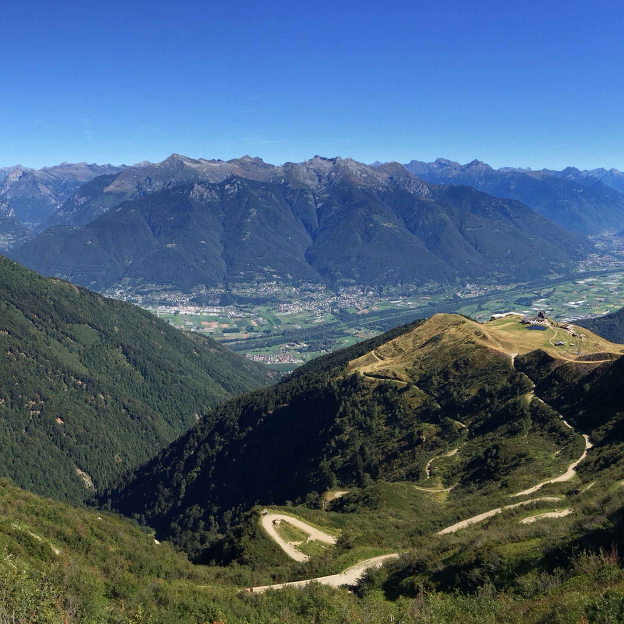
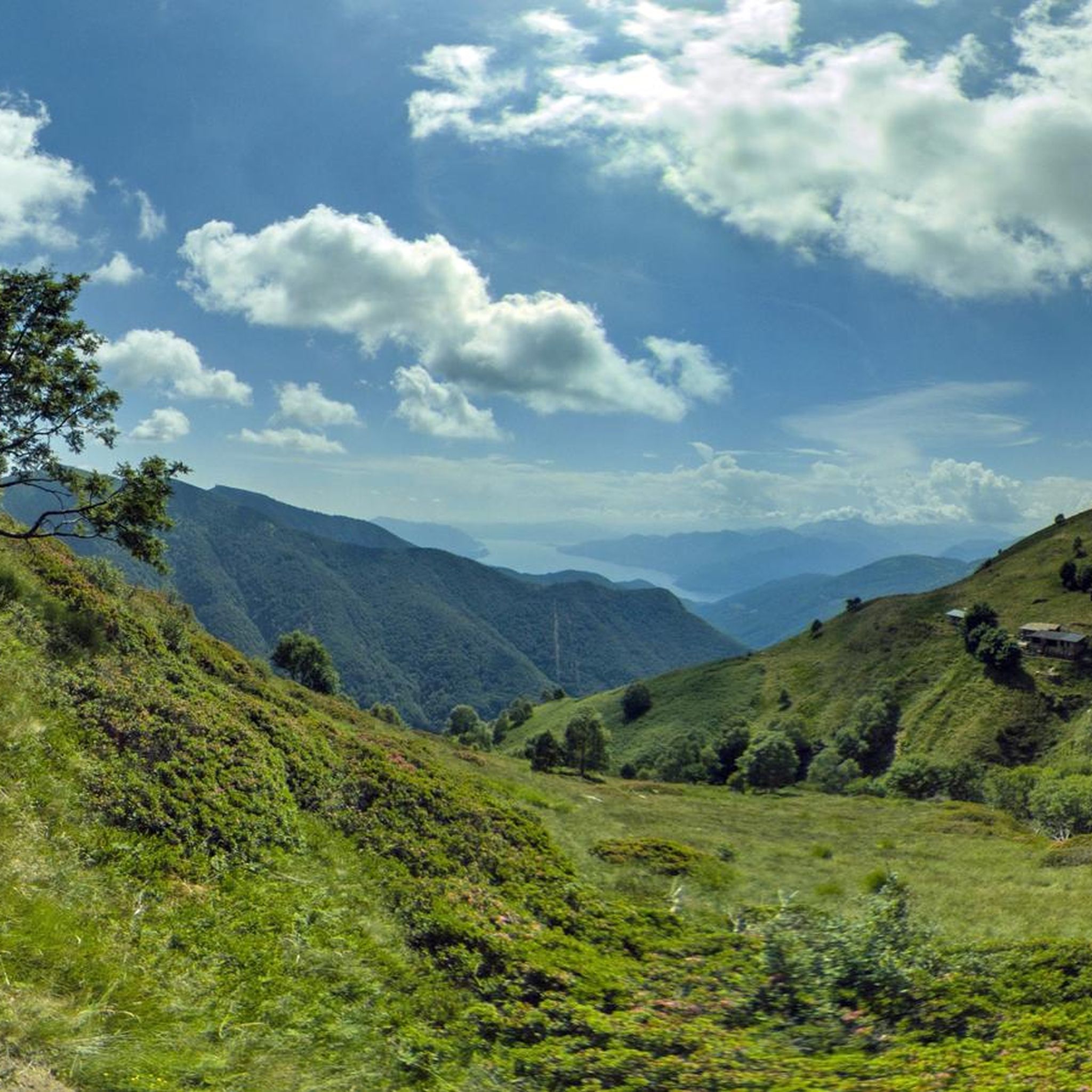
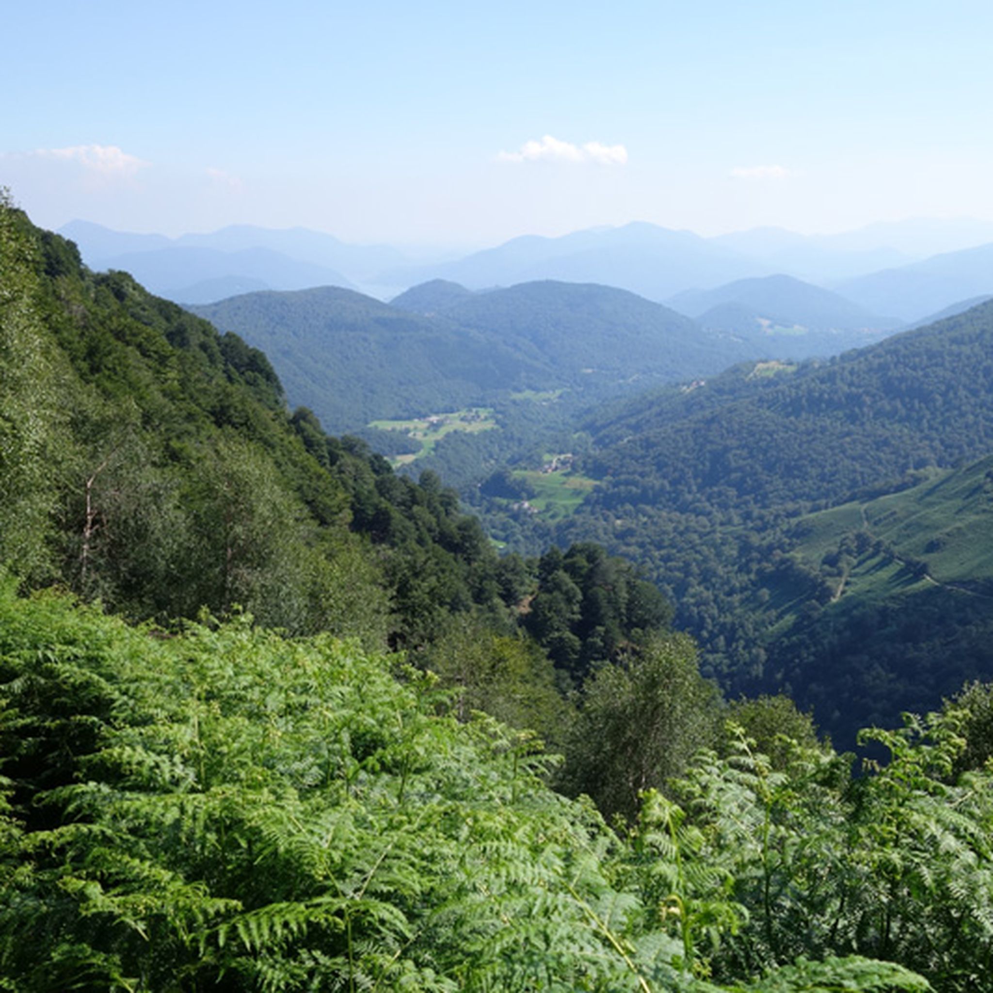
Touring cycling routes around Curiglia Con Monteviasco traverse a mountainous landscape characterized by rugged hills, deep valleys, and ancient villages in Italy's Varese province. The region features challenging terrain with significant elevation changes, offering panoramic vistas and diverse natural scenery including woodlands and alpine pastures. This area, bordering the Swiss Canton of Ticino, provides a blend of natural beauty and historical charm for touring cyclists.
Best touring cycling routes around Curiglia Con Monteviasco
- The most popular touring cycling route is…
Last updated: October 8, 2026
4.3
(8)
59
riders
30.9km
02:07
510m
510m
Hard bike ride. Very good fitness required. Mostly paved surfaces. Suitable for all skill levels.
1.0
(1)
53
riders
19.7km
01:52
550m
550m
Hard bike ride. Very good fitness required. You may need to push your bike for some segments of this route.

4.8
(4)
56
riders
9.35km
00:43
230m
230m
Moderate bike ride. Good fitness required. Mostly paved surfaces. Suitable for all skill levels.
4.5
(2)
41
riders
30.7km
02:14
530m
530m
Hard bike ride. Very good fitness required. Mostly paved surfaces. Suitable for all skill levels.
2.9
(7)
30
riders
30.9km
02:10
610m
610m
Hard bike ride. Very good fitness required. Mostly paved surfaces. Suitable for all skill levels.
Get access to more routes and recommendations from other explorers.
Already have an account?
Our route recommendations are based on thousands of hikes, rides, and runs completed by other people on komoot.
Start today with a free account
Your next adventure awaits.
Popular around Curiglia Con Monteviasco

Tips from the Community

Super view of the lake, simply dreamy
0
0

..and also the beginning of the Italian section 🇮🇹 of the Via Francisca del Lucomagno 🔔🚵🏼♂️🥾
0
0

Cycle path directly on the lake with great views
0
0
I also saw the turtles at that spot.
0
0
Great cycle path that runs directly along the lake.
0
0
Beautiful cycle path directly along the lake.
0
0
Border crossing between Switzerland and Italy
0
0

Excellent cycle path that avoids the main road towards Ponte Tresa which is usually very busy
1
1
Frequently Asked Questions
What kind of terrain can I expect on touring cycling routes around Curiglia Con Monteviasco?
The touring cycling routes in Curiglia Con Monteviasco traverse a mountainous landscape characterized by rugged hills, deep valleys, and ancient villages. Many routes feature challenging terrain with significant elevation changes, including steep sections and numerous hairpin turns. While some trails are short and flowing, others fall into the S2 and S3 difficulty categories, meaning you might encounter obstacles like large rocks and steps, requiring advanced riding skills.
Are there touring cycling routes suitable for beginners in Curiglia Con Monteviasco?
While many routes in the area are considered challenging, there are options for various ability levels. Out of 186 touring cycling routes, 27 are classified as easy, offering a less demanding experience for beginners. These routes provide an opportunity to enjoy the region's beauty without the technical difficulties of more advanced trails.
How many touring cycling routes are available in the Curiglia Con Monteviasco area?
There are over 180 touring cycling routes available around Curiglia Con Monteviasco, offering a wide variety of options for exploring the region's diverse terrain and scenic beauty.
What do other cyclists say about the touring routes in Curiglia Con Monteviasco?
The touring cycling routes in Curiglia Con Monteviasco are highly rated by the komoot community, with an average score of 4.3 stars from over 2,100 reviews. Cyclists often praise the panoramic vistas, the blend of natural beauty and historical charm, and the challenging yet rewarding terrain.
Are there any circular touring cycling routes in Curiglia Con Monteviasco?
Yes, many touring cycling routes in the area are designed as loops, allowing you to start and end at the same point. For example, the War Memorial in Dumenza – Ponte Tresa border crossing loop from Agra is a popular option, offering views towards the border crossing and surrounding landscapes. Another is the Church of San Michele – Stagno Agra Nature Reserve loop from Miglieglia, which takes you through a nature reserve.
What are some examples of challenging touring cycling routes in the area?
For experienced touring cyclists seeking a challenge, routes like the Alternative to the tunnel – Luino lakefront loop from Maccagno con Pino e Veddasca offer significant elevation gain and sections along the lakefront. Another demanding option is the Monte Lema Summit Hostel – Monte Lema Trail loop from Lema, which includes a substantial climb to the summit area.
What natural attractions can I see along the touring cycling routes?
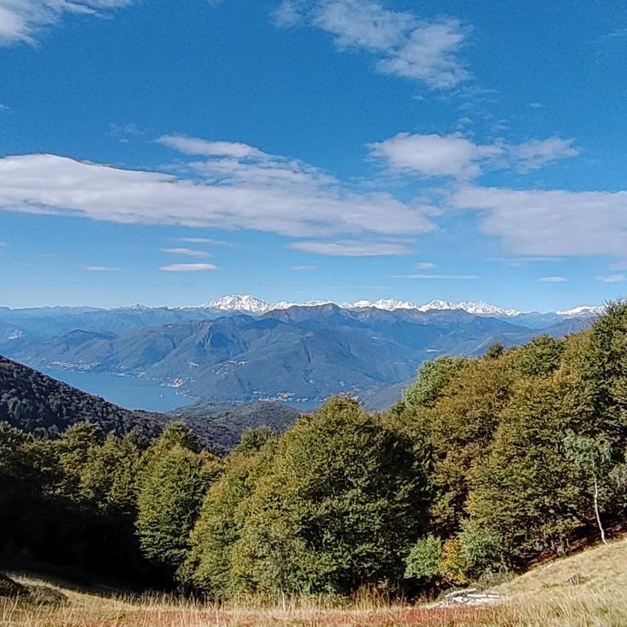
The region offers stunning natural beauty. You can encounter several waterfalls, such as the Al Maglio waterfall or the Pevereggia Waterfalls. The routes also provide panoramic views of the Veddasca Valley, and from higher points like Monte Tamaro, you can enjoy expansive vistas that include Lake Maggiore and even the Dufourspitze on a clear day. The View of Lake Lugano – Lakeside Cycle Path Agno loop from Lema offers scenic views of Lake Lugano.
Are there any interesting historical or cultural landmarks around Curiglia Con Monteviasco?
Yes, the area is rich in history and culture. A notable landmark is the village of Monteviasco itself, a remarkably preserved hamlet with no paved roads or cars, accessible by a challenging staircase or cable car. You can also find the ancient pagan engravings on the "Masso di Piero," the 17th-century statue of San Carlo Borromeo, and the Santuario del Tronchedo in Curiglia, which houses a beautiful fresco. From Sant'Agata, you can enjoy scenic views of Lake Maggiore and Cannobio.
Is it possible to bring my bike on public transport to access routes in Curiglia Con Monteviasco?
While specific public transport options for bikes directly to Curiglia Con Monteviasco may be limited due to its remote, car-free nature, it's worth researching local bus services or the cable car to Monteviasco from Ponte di Piero for their bike capacity. For routes extending into Switzerland, services around areas like Monte Lema and Monte Tamaro might offer bike transport options, but this would require checking with specific operators.
Where can I find parking for touring cycling routes in Curiglia Con Monteviasco?
Parking is generally available in the main villages and starting points for routes. For example, if you plan to access Monteviasco, parking is available at Ponte di Piero, where the cable car departs. For other routes, look for designated parking areas in Curiglia or nearby towns like Dumenza or Maccagno con Pino e Veddasca, which serve as common starting points for many tours.
What is the best season for touring cycling in Curiglia Con Monteviasco?
The best season for touring cycling in Curiglia Con Monteviasco is typically spring and autumn when the weather is milder and the natural scenery is vibrant. Summer can also be enjoyable, especially at higher elevations, but be prepared for warmer temperatures. Winter often brings snow, making many routes inaccessible or requiring specialized equipment.
Are there any family-friendly touring cycling routes in the area?
While many routes are challenging, there are 27 easy routes that could be more suitable for families, depending on the children's cycling experience. These routes generally have less elevation gain and technical difficulty. It's always recommended to check the specific route details and difficulty ratings on komoot to ensure it matches your family's abilities.
Can I bring my dog on touring cycling routes in Curiglia Con Monteviasco?
Many outdoor areas in Curiglia Con Monteviasco are dog-friendly, especially on trails and in natural settings. However, it's always advisable to keep your dog on a leash, especially in protected areas or near livestock, and to be mindful of other cyclists and hikers. Specific rules may apply in certain nature reserves or villages, so check local signage.
Most popular routes around Curiglia Con Monteviasco
Most popular attractions around Curiglia Con Monteviasco

Get inspired with the komoot mobile app


Explore more
Browse the best Cycling routes in other regions.
