The best walks and hikes around Thundorf
4.7
(64)
252
hikers
30
hikes
Hiking around Thundorf offers varied cultural landscapes, including forests, diverse valleys, and numerous small lakes. The region provides panoramic views, notably from the Stählibuck lookout tower. Trails traverse areas with natural features like the Mühletobel Forest and connect to historical sites, offering a range of elevations and terrain.
Best hiking trails around Thundorf
- The most popular hiking route is Stählibuck Tower – Stählibuck loop from Thundorf, a 8.4 miles (13.6 km) trail that takes 3 hours 51 minutes to…
Last updated: October 8, 2026
4.7
(22)
79
hikers
13.6km
03:51
310m
310m
Moderate hike. Good fitness required. Easily-accessible paths. Suitable for all skill levels.
4.6
(22)
68
hikers
5.55km
01:34
120m
120m
Easy hike. Great for any fitness level. Easily-accessible paths. Suitable for all skill levels.

5.0
(1)
8
hikers
11.6km
03:14
230m
230m
Moderate hike. Good fitness required. Easily-accessible paths. Suitable for all skill levels.
5.0
(1)
8
hikers
10.0km
02:43
140m
140m
Moderate hike. Good fitness required. Easily-accessible paths. Suitable for all skill levels.
5.0
(2)
3
hikers
6.68km
01:52
130m
130m
Easy hike. Great for any fitness level. Easily-accessible paths. Suitable for all skill levels.
Get access to more routes and recommendations from other explorers.
Already have an account?
Our route recommendations are based on thousands of hikes, rides, and runs completed by other people on komoot.
Start today with a free account
Your next adventure awaits.
Tips from the Community

The construction crane is finally gone after 12 years! Older photos of it are now outdated...
1
0
The notorious crane at the castle was finally dismantled after 12 years!
1
0
The infamous crane at the castle has finally been dismantled after 12 years! This makes older entries and photos outdated...
1
0


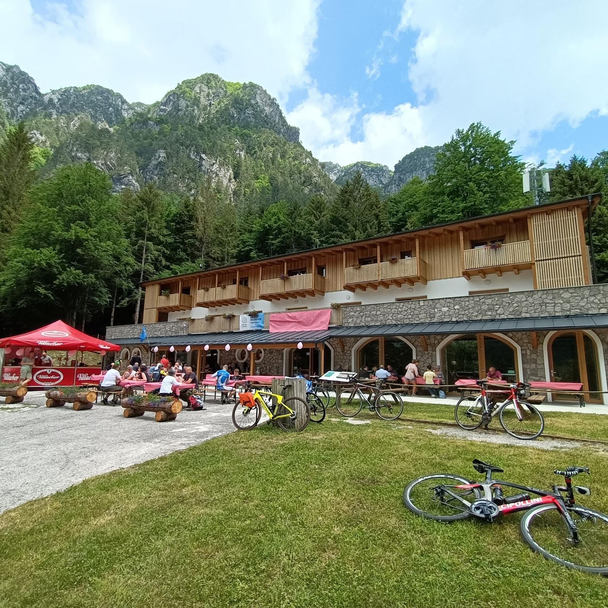
Above the free hiking car park there is a playground with numerous places for rest
2
0
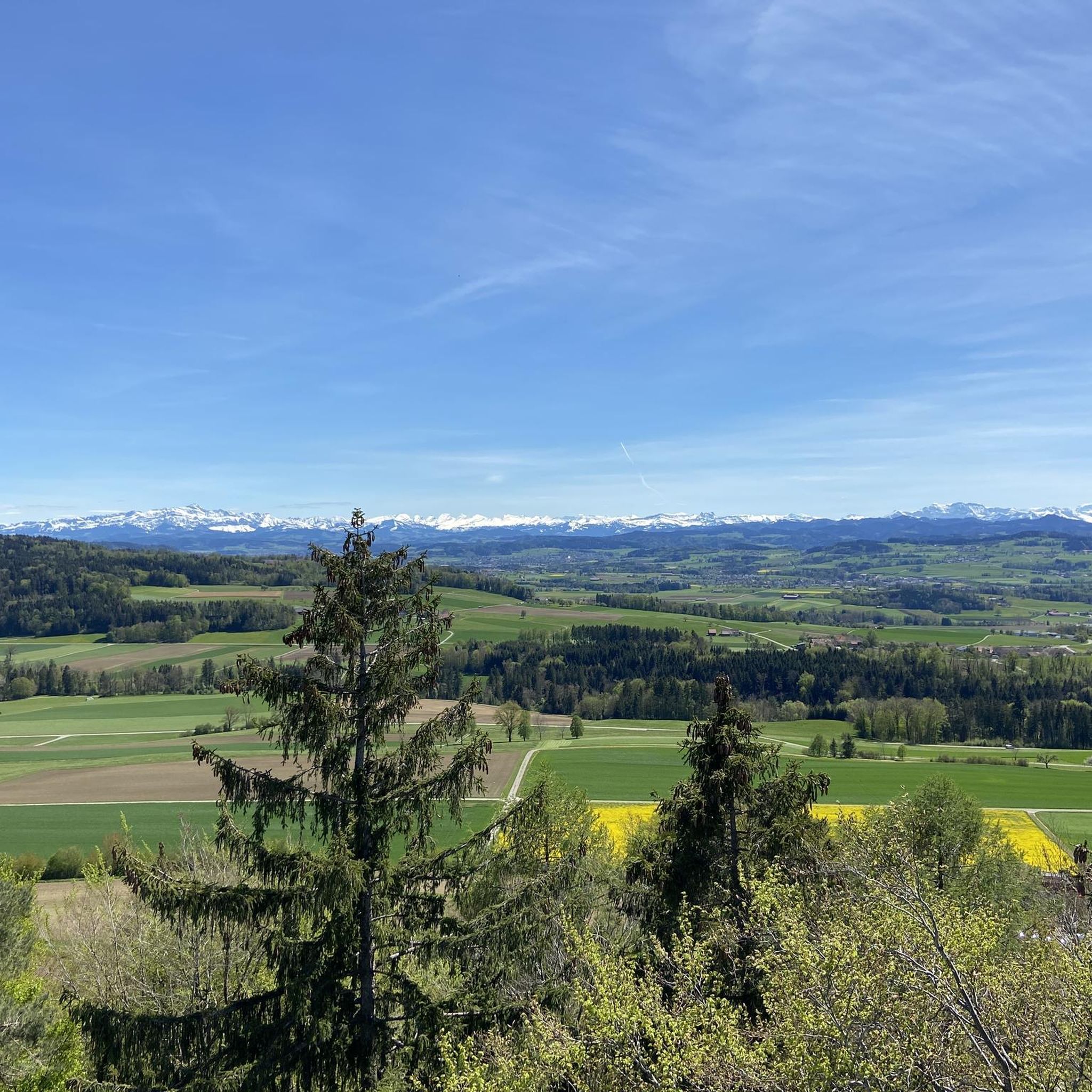
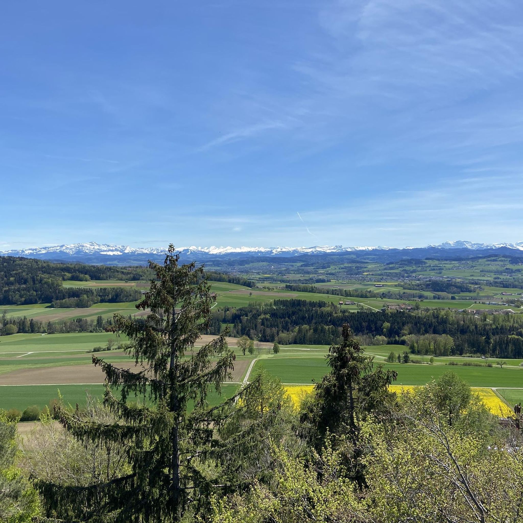
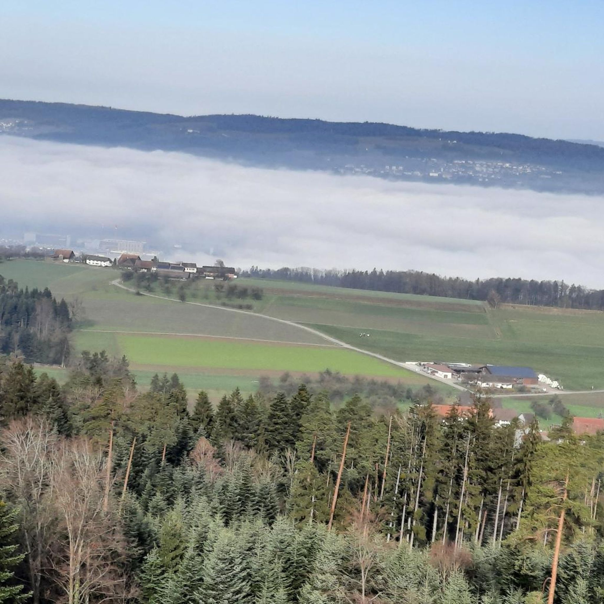
Observation tower with a great view of the Rhine plain and the main Alpine ridge with the Bernese Oberland
3
0

After the landslide, the path is open again. ATTENTION: the new, very steep staircase (approx. 50 meters) to bypass the large landslide is not passable!
1
0

Absolutely wonderful view. But go to the Seerücken ridge, 8508 Homburg, to the Catholic church. I lived there for almost 50 years. Even more magnificent.
0
1
Frequently Asked Questions
What types of hiking trails can I find around Thundorf?
Thundorf offers a diverse range of hiking trails, from easy walks through cultural landscapes to moderate climbs with panoramic views. You'll find paths winding through forests, meadows, and along small lakes, catering to various fitness levels. In total, there are over 30 hiking routes available, with more than 20 considered easy.
Are there any easy or beginner-friendly hikes in Thundorf?
Yes, Thundorf is very welcoming for beginners and those looking for easier walks. Over 20 of the available routes are classified as easy. A great option is the View of Lauchtal – Sonnenberg Castle loop from Immenberg, which is an easy 5.5 km path offering scenic views.
What are some notable landmarks or attractions to see while hiking in Thundorf?
The region is rich in natural beauty and historical sites. A prominent landmark is the Stählibuck Tower, which offers magnificent panoramic views on clear days and is a feature on several trails. You can also explore historical sites like Ittingen Charterhouse, the Old Town of Frauenfeld, and various castles such as Wellenberg Castle. Nature lovers will appreciate the Boardwalk and island on Lake Hüttwilersee and the Birdwatching tower.
Are there any circular hiking routes in Thundorf?
Absolutely! Many of Thundorf's trails are designed as circular routes, allowing you to start and end at the same point. Popular options include the moderate Stählibuck Tower – Stählibuck loop from Thundorf, which is about 13.6 km, or the slightly shorter Violinist Wooden Sculpture – Stählibuck Tower loop from Thundorf at 11.3 km.
What do other hikers enjoy most about hiking in Thundorf?
The komoot community highly rates the hiking experience in Thundorf, with an average score of 4.7 stars from over 50 reviews. Hikers often praise the varied cultural landscapes, the extensive natural areas including forests and meadows, and the magnificent panoramic views, especially from the Stählibuck Tower. The well-maintained and diverse network of trails is also frequently highlighted.
Are there any hikes that offer great views in the Thundorf area?
Yes, Thundorf is known for its scenic vistas. The Stählibuck Tower is a prime spot for panoramic views and is incorporated into several routes, such as the Rappenholz Bench – Stählibuck Tower loop from Thundorf. Another excellent option is the View of Säntis – Wellenberg Highest Point loop from Thundorf, which provides expansive views of the surrounding landscape.
Can I find trails that pass by lakes or water features?
The broader Thurgau area, including Thundorf, features approximately 25 small lakes integrated into the hiking network, offering beautiful waterside routes. You can specifically visit the Boardwalk and island on Lake Hüttwilersee, which is a lovely spot to enjoy the water.
What is the best time of year to go hiking in Thundorf?
Thundorf's diverse landscapes are enjoyable throughout much of the year. Spring and autumn offer pleasant temperatures and vibrant scenery, with blooming flowers or colorful foliage. Summer is ideal for longer hikes, while some trails may also be suitable for winter walks, depending on snow conditions. Always check local weather forecasts before heading out.
Are there any family-friendly hiking options in Thundorf?
Many of the easy trails in Thundorf are suitable for families. The region's gentle, rolling countryside and well-maintained paths make for enjoyable outings with children. Consider routes that are shorter in duration and have minimal elevation gain, such as the View of Lauchtal – Sonnenberg Castle loop from Immenberg, which is an easy 5.5 km walk.
How long do hikes in Thundorf typically take?
Hiking durations in Thundorf vary depending on the trail's length and difficulty. Easy routes, like the 5.5 km View of Lauchtal – Sonnenberg Castle loop, can take around 1 hour 30 minutes. Moderate trails, such as the 13.6 km Stählibuck Tower – Stählibuck loop, typically require about 3 hours 50 minutes to complete.
Is there public transport access to trailheads in Thundorf?
While specific public transport details for every trailhead are best checked locally, the Thurgau region generally has a well-developed public transport network. Many hiking routes are accessible via bus or train connections, especially those starting from larger towns like Frauenfeld, which is close to Thundorf. It's advisable to consult local transport schedules when planning your hike.
Most popular attractions around Thundorf

Get inspired with the komoot mobile app


Explore more
Browse the best Hikes in other regions.
