The best mountain hikes around Crandola Valsassina
4.8
(15)
119
hikers
9
hikes
Mountaineering routes around Crandola Valsassina are situated within the Province of Lecco, Lombardy, Italy, offering access to the Grigne mountain range and the Orobian Alps. The terrain features significant peaks like Pizzo dei Tre Signori and Pizzo Alto, alongside a network of trails and refuges. This mountainous environment provides diverse landscapes for exploration, characterized by high-altitude routes and challenging ascents.
Best mountaineering routes around Crandola Valsassina
- The most popular mountaineering route is Bocchetta di Prada (1,625 m) – The Friar…
Last updated: October 8, 2026
4.6
(5)
43
hikers
12.6km
07:32
1,030m
1,030m
Hard mountaineering route. Very good fitness required. Sure-footedness, sturdy shoes and alpine experience required.
4.7
(7)
33
hikers
9.77km
04:21
760m
760m
Hard mountaineering route. Good fitness required. Sure-footedness, sturdy shoes and alpine experience required.

5.0
(2)
19
hikers
18.3km
08:03
1,390m
1,390m
Hard mountaineering route. Very good fitness required. Sure-footedness, sturdy shoes and alpine experience required.
9
hikers
6.84km
02:15
150m
150m
Hard mountaineering route. Good fitness required. Sure-footedness, sturdy shoes and alpine experience required.
5.0
(1)
6
hikers
Hard mountaineering route. Good fitness required. Sure-footedness, sturdy shoes and alpine experience required.
Get access to more routes and recommendations from other explorers.
Already have an account?
Our route recommendations are based on thousands of hikes, rides, and runs completed by other people on komoot.
Start today with a free account
Your next adventure awaits.
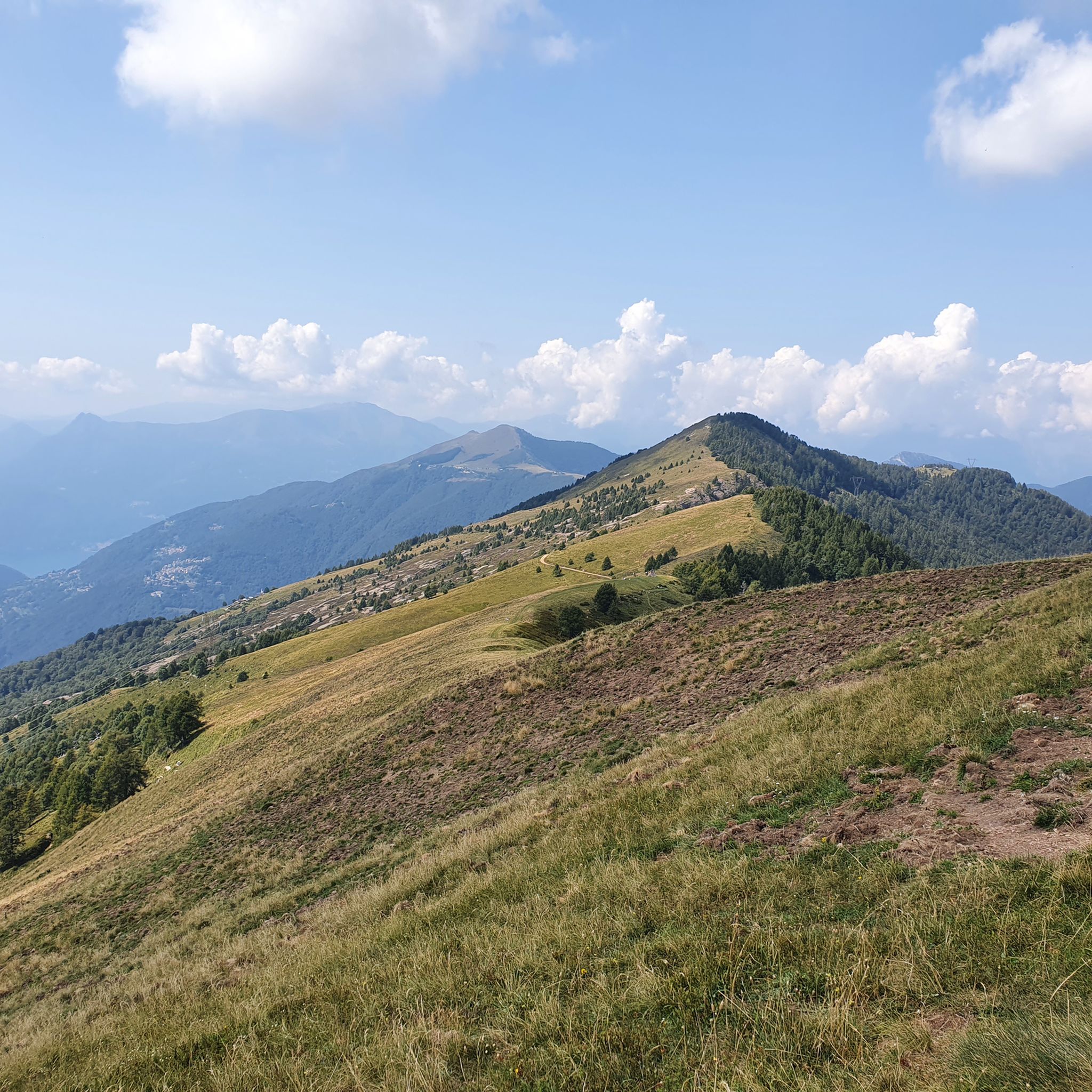
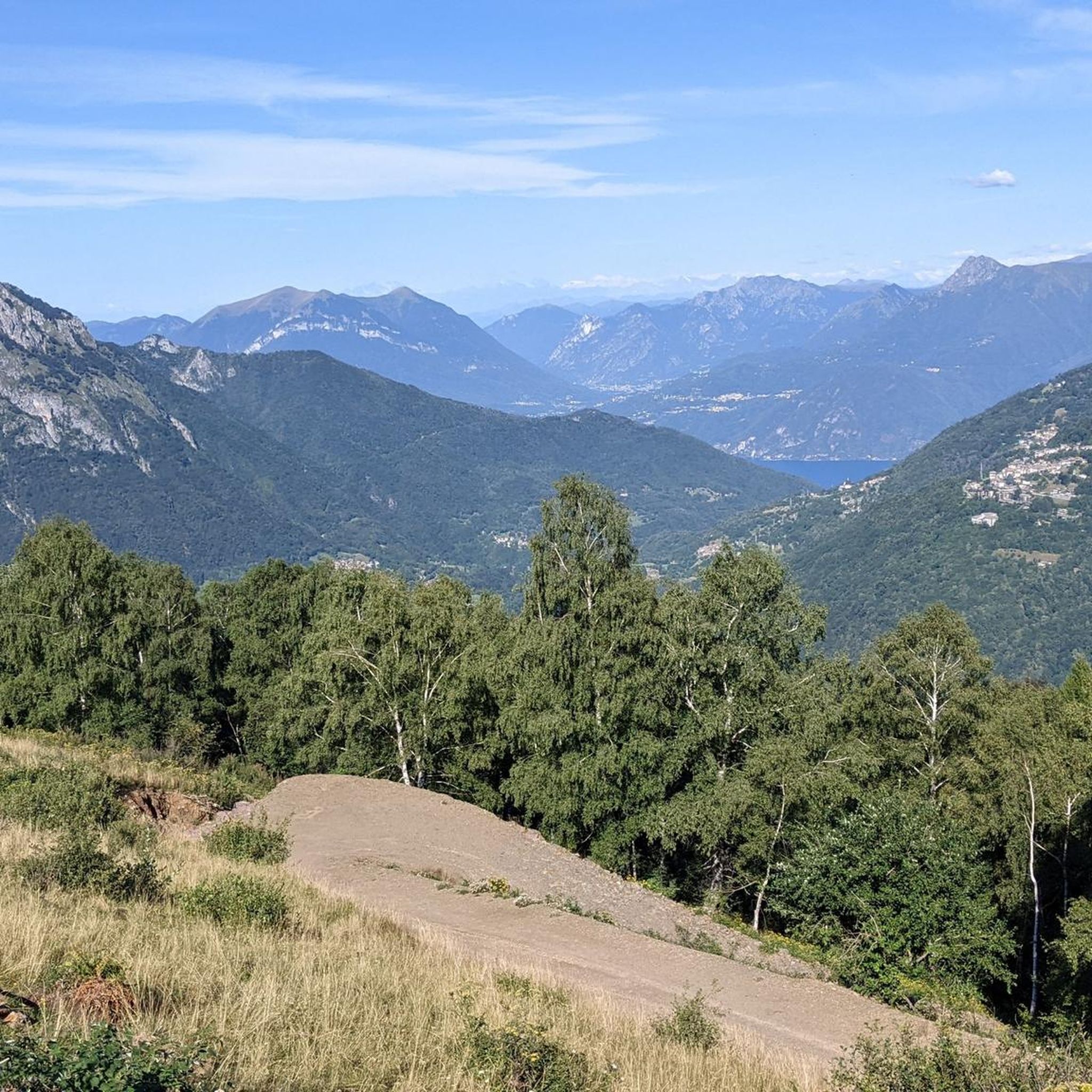
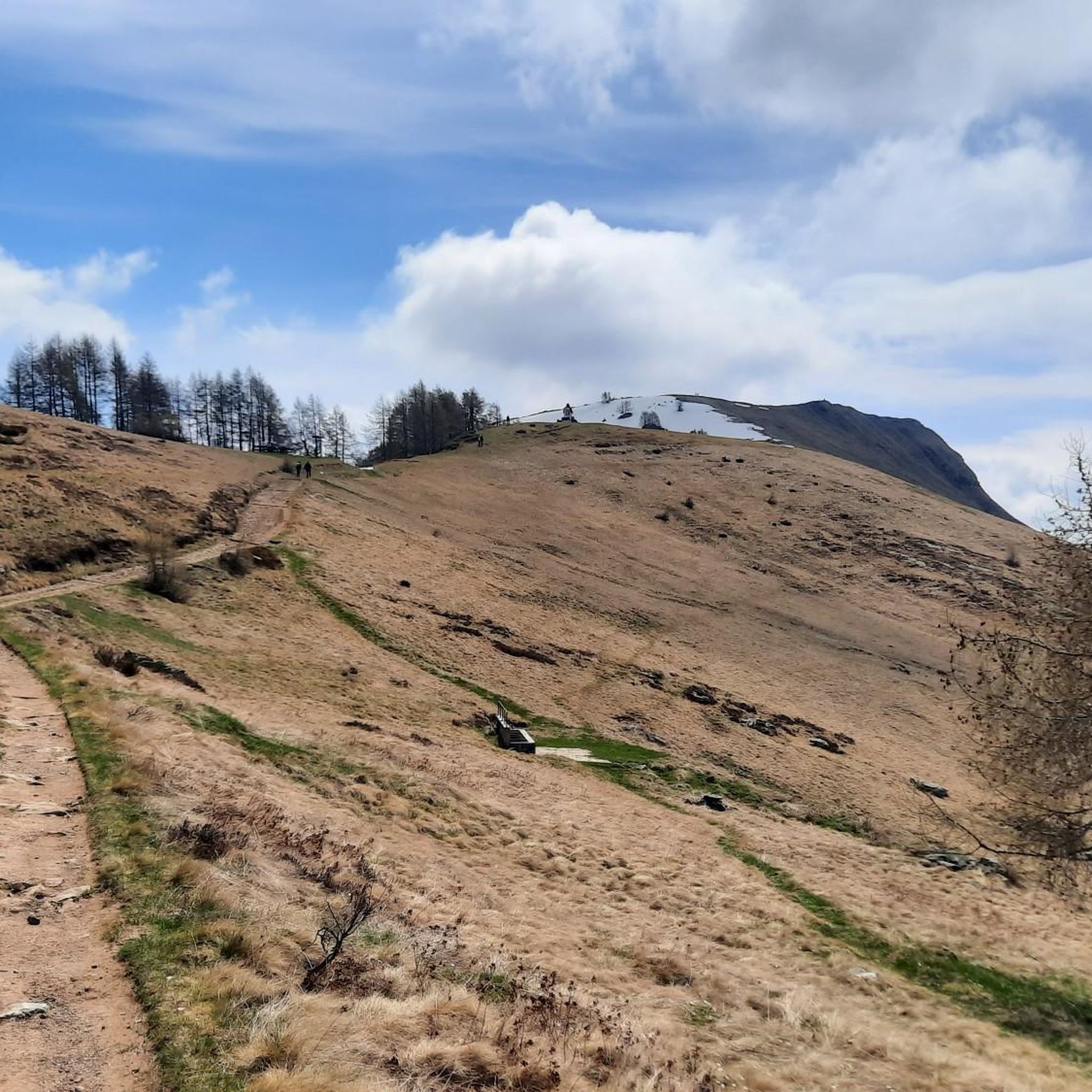
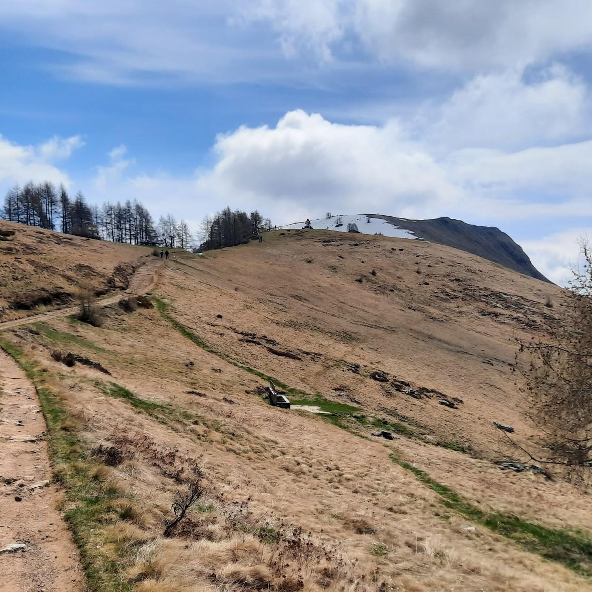

Tips from the Community

A canal to be tackled with great care, but very rewarding.
0
0
It is one of the most beautiful peaks in the province of Lecco, be careful that shortly before the summit you have to face a section with chains
0
0
Start of the Camosci couloir, last section to Zucco Campelli
0
0

Site in a very beautiful and panoramic position
0
0
To be covered in winter
0
0

Starting point of the loop tour, whose highest point is the Bocchetta dei Mughi. The trail is technically simple in the summer period but has no water sources and is almost entirely in the sun
0
0

Rifugio Lecco, magnificent views from Piani di Bobbio
0
0
We are now close to the Grigna, having done it both in summer and with snow, in both cases it is tiring and beautiful
0
0
Frequently Asked Questions
How many mountaineering routes are available in Crandola Valsassina?
There are over 10 mountaineering routes around Crandola Valsassina, ranging from moderate to difficult. The region is known for its challenging ascents and high-altitude trails, primarily suited for experienced mountaineers.
What is the typical difficulty level of mountaineering routes in Crandola Valsassina?
The mountaineering routes in Crandola Valsassina are predominantly classified as difficult, with a few moderate options. They feature significant elevation gain and rugged mountain terrain, making them ideal for experienced mountaineers seeking a challenge.
Are there any circular mountaineering routes in the area?
Yes, many routes in Crandola Valsassina are circular. For example, the Bocchetta di Prada (1,625 m) – The Friar and the Nun loop from Cortenova is a challenging 12.5 km loop. Another popular option is the Bocchetta di Prada (1,625 m) – Prada Gate loop from Parco Regionale della Grigna Settentrionale, which traverses high alpine landscapes.
What kind of terrain can I expect on these mountaineering routes?
You can expect diverse terrain, from lush alpine meadows to challenging rocky walls and karst landforms, especially within the Grigne mountain range. Routes often involve significant elevation changes and exposed sections, typical of high-mountain environments.
What are some notable natural attractions or landmarks to see while mountaineering?
The region offers stunning natural features. You can explore the dramatic Bellano Gorge or discover the Gully of Trail 108. The area is also rich in caves, such as the Meria Stream Cave and Ferrera Cave.
Are there mountain huts available for overnight stays or rest stops?
Yes, the area has several mountain huts that serve as excellent resting points or bases for longer excursions. Notable huts include the Rosalba Hut, offering views of Lake Como, and the Roccoli Lorla Hut, a good base for hikes to Monte Legnone. The Brioschi Hut is located at the summit of Grigna Settentrionale.
What do other mountaineers say about the routes in Crandola Valsassina?
The mountaineering routes in Crandola Valsassina are highly rated by the komoot community, with an average score of 4.8 stars from over 40 reviews. Mountaineers often praise the challenging ascents, breathtaking panoramic views, and the well-maintained network of trails.
What are the best times of year for mountaineering in Crandola Valsassina?
The best time for mountaineering is typically from late spring to early autumn (May to October) when the weather is more stable and trails are clear of snow. However, some routes, like those on Monte Due Mani, are accessible year-round.
Can I go mountaineering in Crandola Valsassina during winter?
Yes, during winter months, many excursions can be undertaken with snowshoes or mountaineering skis. The Piani di Bobbio is a well-known ski area in the region, offering opportunities for winter activities. Always check local conditions and avalanche warnings before heading out.
Are there any routes suitable for beginners?
While the region is primarily known for its difficult mountaineering routes, there are some moderate options available. These routes still require a good level of fitness and appropriate gear, but offer a less strenuous introduction to the area's mountain environment.
Where can I find parking for mountaineering routes?
Parking is generally available near the starting points of many routes. For example, routes like the Zuccone Campelli Summit – Canale della Madonna loop often have parking facilities nearby, such as at Scuola di Sci Barzio Piani di Bobbio - Valtorta. It's advisable to check specific route details for parking information.
Are there any water features or waterfalls along the routes?
The Valsassina valley is rich in water features. While not directly on every mountaineering route, the area boasts impressive waterfalls like the Cenghen Waterfall, accessible via a trek, and the Troggia and Sprizzottolo waterfalls in Introbio. These can be explored as separate excursions or combined with certain routes.
Most popular routes around Crandola Valsassina
Most popular attractions around Crandola Valsassina

Get inspired with the komoot mobile app


Explore more
Browse the best Mountain Hikes & Routes in other regions.
