The best walks and hikes around Valle Salimbene
4.2
(339)
2,074
hikers
204
hikes
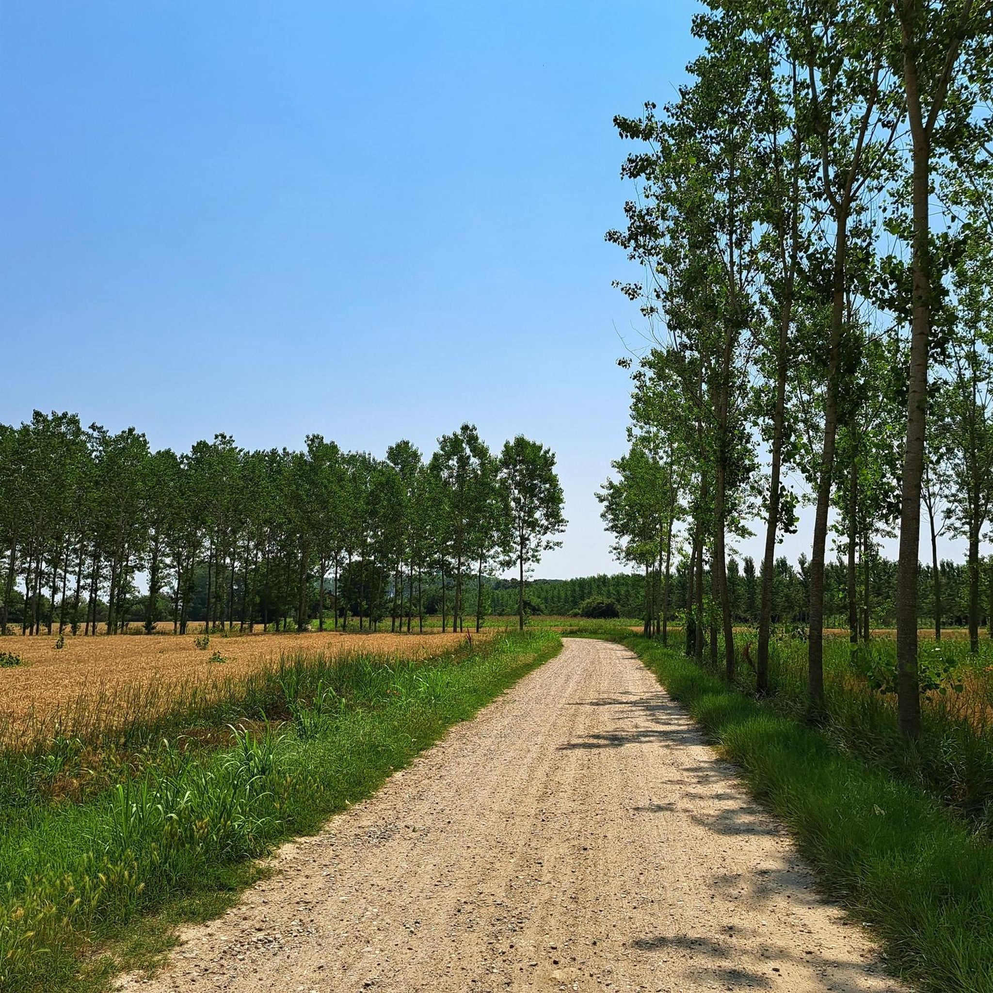
Hiking around Valle Salimbene, located near Pavia, offers routes through the flat river plains of the Ticino and Po rivers. The terrain is characterized by agricultural landscapes, small woodlands, and riverside paths, with minimal elevation changes. This region provides accessible outdoor experiences, ideal for those seeking easy hiking trails near Valle Salimbene.
Best hiking trails around Valle Salimbene
- The most popular hiking route is Borgoticino Loop, a 6.3 miles (10.1 km) trail that takes 2 hours 33 minutes to…
Last updated: July 1, 2026
4.5
(24)
96
hikers
10.1km
02:34
20m
20m
Embark on the Borgoticino Loop, a moderate hiking route that guides you along the scenic Ticino River. This accessible 6.3-mile (10.1 km) journey offers a delightful blend of natural beauty…
3.8
(4)
13
hikers
14.1km
03:33
20m
20m
The Siccomario Loop offers a moderate hiking experience, covering 8.7 miles (14.1 km) with a gentle elevation gain of just 60 feet (18 metres). You can expect to complete this…

Sign up for free
2
hikers
11.3km
02:53
30m
30m
Hike the moderate 7.0-mile Anello di Vaccarizza wetlands loop from San Leonardo, exploring diverse landscapes and the Boschi di Vaccarizza r
4.2
(11)
35
hikers
9.79km
02:31
40m
40m
Moderate hike. Good fitness required. Easily-accessible paths. Suitable for all skill levels.
4.1
(9)
29
hikers
8.98km
02:18
40m
40m
Moderate hike. Good fitness required. Easily-accessible paths. Suitable for all skill levels.
Get access to more routes and recommendations from other explorers.
Sign up for free
Already have an account?
Our route recommendations are based on thousands of hikes, rides, and runs completed by other people on komoot.
Start today with a free account
Your next adventure awaits.
Login or Signup

Tips from the Community


A memorial to the laundresses. Thanks to Willem VS for his excellent descriptions!
1
0

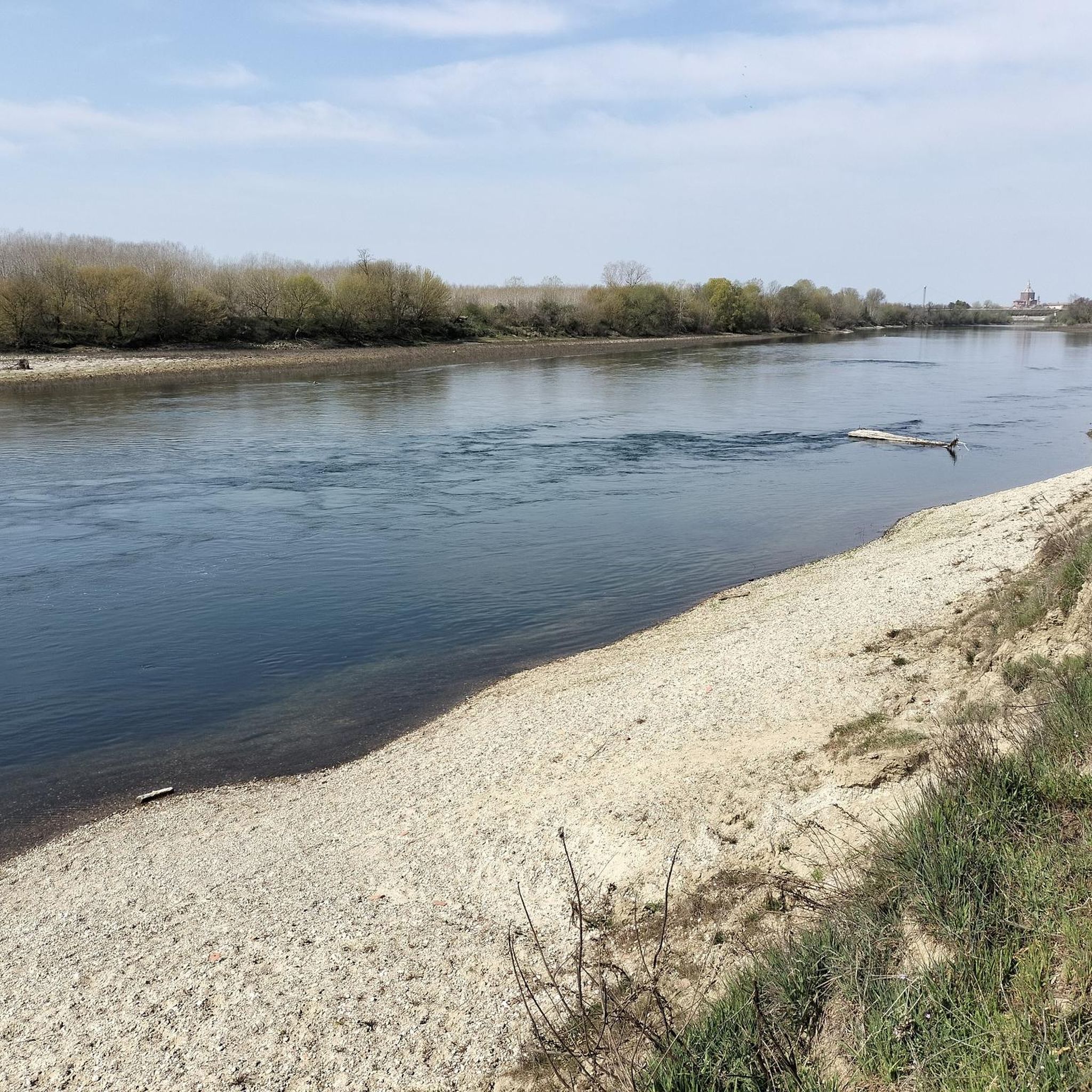
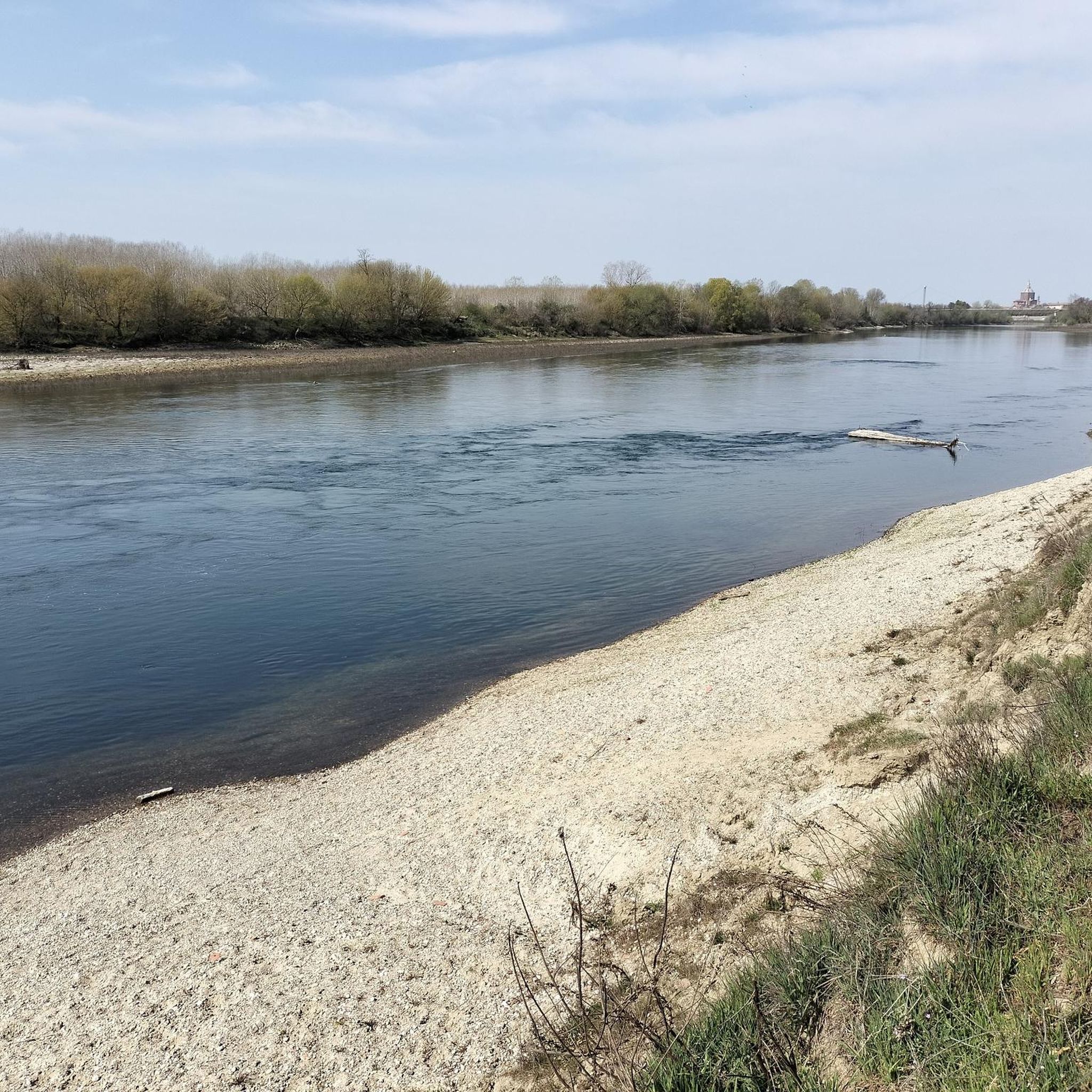
Beautiful distant view of Pavia with the possibility of also seeing the Alps in the background
0
0

nice view from the bench, there is also a small picnic area
1
0

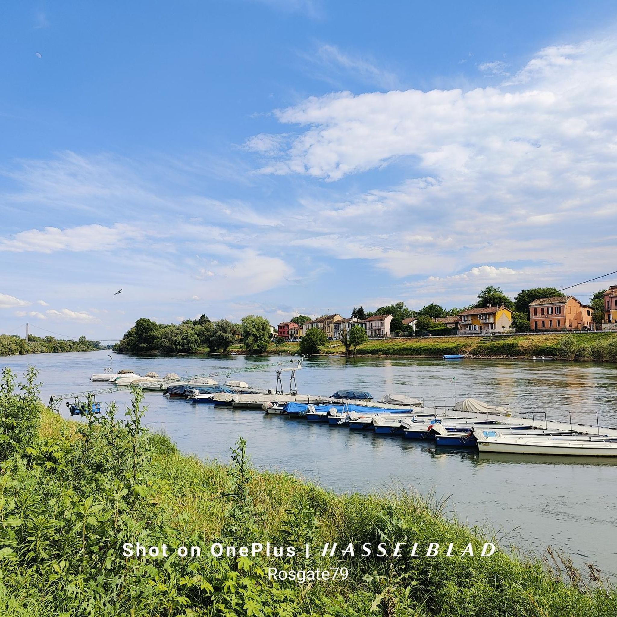
The Parco del Ticino is a beautiful nature reserve that extends across the regions of Lombardy and Piedmont in Italy. The Ticino River extends for a total length of 248 kilometers, from the Passo di Novena in Switzerland to its confluence with the Po. Within the park, the stretch from Sesto Calende (VA) to the Ponte della Becca (PV) covers a length of 110 kilometers. The park is crossed by more than 750 kilometers of cycling and walking paths, of which more than 100 kilometers are along the banks of the canals.
2
0
The Statua della Lavandaia in Pavia is one of the symbols of the city. This beautiful sculpture, created by local artist Giovanni Scapolla in 1981, recalls the time when the banks of the Ticino River were populated by women who washed clothes in the river. Giovanni Scapolla was inspired by his mother, a famous washerwoman named 'Sciura Teresina', who always wore a traditional 'caplina' on her head. Names of the washerwomen: The washerwomen often had nicknames related to physical characteristics. The most famous was 'Angiuleta', but there were others such as 'Marieta dai pe tort' (with crooked feet) and 'Gianina la culona' (the plump one). Method: The women worked all day on the riverbank. The clothes were soaked overnight in large concrete containers and then washed by the river using a wooden board (‘a scägn’). Men and children collected the washed clothes and delivered them throughout the city. It was hard and unprofitable work, with only one or two lira each. Singing and entertainment: To pass the time, the washerwomen often sang. One of their favorite songs was “La donna è mobile” from Verdi's opera Rigoletto. They even adapted the text: 'La dona l'è UN MOBIL da met in sala, l'om l'è un asin da met in stala', referring to the fact that men walked around all day while the women stood still to to wash.
7
0

Sanctuary in the middle of the fields just outside Pavia.
1
0

The Sanctuary was built at the end of the 1500s by the Bonacossa family. Inside it is still possible to admire the original fresco of the ancient chapel.
2
0
Frequently Asked Questions
Are there many easy hiking trails around Valle Salimbene?
Yes, Valle Salimbene is ideal for easy hiking. The region's flat river plains and agricultural landscapes mean minimal elevation changes. There are over 110 easy routes available, perfect for a relaxed outdoor experience.
What is the typical length and duration of hikes in Valle Salimbene?
Most hikes in Valle Salimbene are of moderate length and duration. For example, the Borgoticino Loop is 6.3 miles (10.1 km) and takes about 2 hours 33 minutes, while the Siccomario Loop covers 8.7 miles (14.1 km) in approximately 3 hours 32 minutes.
Are there any challenging hikes in Valle Salimbene?
While the area is predominantly flat, offering mostly easy to moderate routes, there is one designated difficult route for those seeking a greater challenge. The terrain generally features river plains and agricultural fields.
What kind of scenery can I expect on hikes around Valle Salimbene?
Hikes around Valle Salimbene offer views of the flat river plains of the Ticino and Po rivers. You'll experience agricultural landscapes, small woodlands, and riverside paths, providing a peaceful rural setting.
Are there any circular walks available in Valle Salimbene?
Yes, many routes in Valle Salimbene are circular, allowing you to start and end at the same point. A popular option is the Vaccarizza Loop Trail, which is 7.0 miles (11.3 km) and leads through agricultural areas and small wooded sections.
What do other hikers enjoy most about hiking in Valle Salimbene?
The area is highly rated by the komoot community, with an average score of 4.3 stars from over 240 reviews. Hikers often praise the accessible terrain, the peaceful rural scenery, and the well-maintained paths along the rivers and through agricultural fields.
What can I see along the hiking trails or nearby Valle Salimbene?
While hiking, you'll primarily enjoy the natural riverine and agricultural landscapes. For historical and cultural sights, the nearby city of Pavia offers attractions such as the Ponte Coperto (the Covered Bridge), the Visconti Castle of Pavia, and the Cathedral of Pavia. Nature lovers might also appreciate the Ponte della Becca, where the Ticino meets the Po.
Is Valle Salimbene suitable for family walks?
Yes, the generally flat and easy terrain makes Valle Salimbene very suitable for family walks. The numerous easy routes provide a safe and enjoyable environment for all ages to explore the countryside.
Are dogs allowed on the hiking trails in Valle Salimbene?
Most trails in Valle Salimbene are dog-friendly, offering plenty of open spaces and riverside paths for you and your canine companion to enjoy. It's always recommended to keep dogs on a leash, especially near agricultural areas or wildlife.
What is the best season for hiking in Valle Salimbene?
The best seasons for hiking in Valle Salimbene are typically spring and autumn, when temperatures are mild and the landscape is vibrant. Summer can be pleasant, but it's advisable to hike early in the morning or late afternoon to avoid the midday heat. Winter offers a different, often quieter, experience, though some paths might be muddy after rain.
Can I reach hiking trails in Valle Salimbene using public transport?
Valle Salimbene is located close to Pavia, which is well-connected by public transport. From Pavia, local bus services or a short taxi ride can take you to various starting points for hikes in the Valle Salimbene area.
Is parking available at the trailheads in Valle Salimbene?
Parking is generally available in or near the villages and starting points for hikes around Valle Salimbene. As it's a rural area, you'll often find convenient spots, though it's always good to check specific route details for precise parking information.
Most popular routes around Valle Salimbene
Most popular attractions around Valle Salimbene

Get inspired with the komoot mobile app


Explore more
Browse the best Hikes in other regions.
