The best walks and hikes around Brenta
4.3
(6615)
29,323
hikers
714
hikes
Hiking around Brenta provides access to a landscape characterized by dramatic limestone peaks, deep valleys, and extensive coniferous forests. The region features a network of trails that traverse alpine meadows and rocky paths, offering varied elevation changes. These routes often lead through protected natural areas, showcasing the geological formations typical of the Dolomites.
Best hiking trails around Brenta
- The most popular hiking route is Anulare Valcuviano Trail to Monte Nudo, a 7.4 miles (11.8 km) trail that takes 4 hours 31 minutes to complete. This moderate route features significant elevation gain through varied terrain.
- Another top favourite among local hikers is Monte Nudo North Trail, a moderate 4.0 miles (6.5 km) path. This trail offers views of the surrounding hills and forests.
- Local hikers also love the From Cittiglio to Laveno-Mombello (via CAI Trail 290), a 12.5 miles (20.1 km) trail leading through diverse landscapes, often completed in about 5 hours 54 minutes.
- Hiking around Brenta is defined by its limestone formations, alpine forests, and panoramic valley views. The extensive network of trails offers options for various ability levels, from gentle walks to challenging ascents.
- The routes in Brenta are highly rated by the komoot community with an average score of 4.3 stars from over 5,000 reviews. More than 24,000 hikers have used komoot to explore Brenta's varied terrain.
Last updated: August 17, 2026
5.0
(1)
4
hikers
11.8km
04:32
830m
830m
Moderate hike. Good fitness required. Easily-accessible paths. Suitable for all skill levels.
1
hikers
6.48km
02:26
250m
250m
Moderate hike. Good fitness required. Mostly accessible paths. Sure-footedness required.

Sign up for free
20.1km
05:55
550m
550m
Hard hike. Very good fitness required. Easily-accessible paths. Suitable for all skill levels.
4.8
(39)
103
hikers
10.6km
02:46
90m
90m
Moderate hike. Good fitness required. Easily-accessible paths. Suitable for all skill levels.
4.5
(11)
61
hikers
16.3km
05:40
590m
590m
Hard hike. Very good fitness required. Mostly accessible paths. Sure-footedness required.
Get access to more routes and recommendations from other explorers.
Sign up for free
Already have an account?
Our route recommendations are based on thousands of hikes, rides, and runs completed by other people on komoot.
Start today with a free account
Your next adventure awaits.
Login or Signup
Tips from the Community

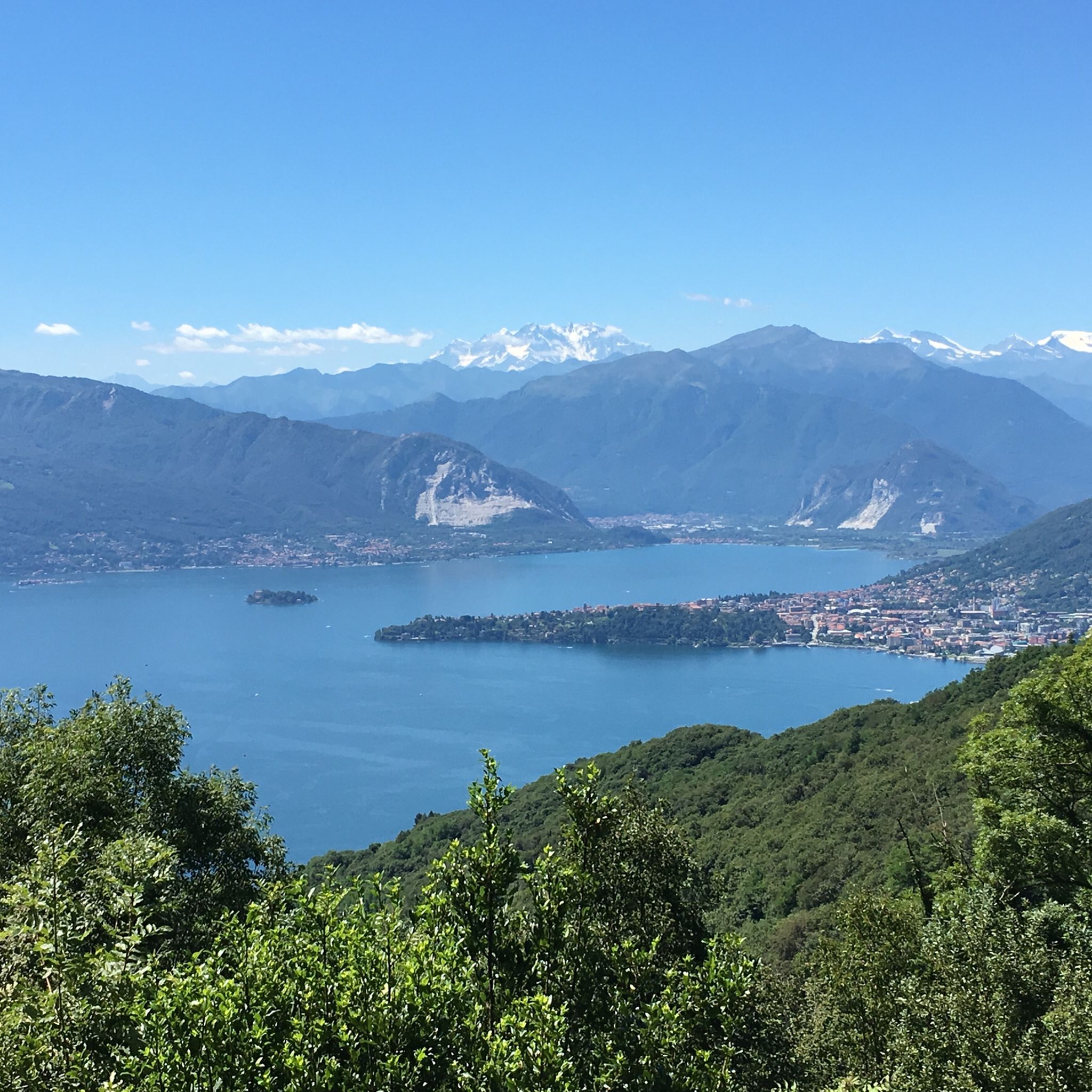
Rifugio De Grandi Adamoli, Alpe Cuvignone, Castelveccana The Rifugio Giulio de Grandi Adamoli is located on the Cuvignone Pass at 1000 meters, a destination for cyclists, hikers and mountain enthusiasts, and is in an optimal position to enjoy panoramic views from several points, characteristically from the natural balcony of the "Poggiolo" on Lake Maggiore, on the Rosa, on the Zeda and on numerous other alpine peaks. Tel: +39 366 701 27 35 Text / Source: Rifugio De Grandi Adamoli, Alpe Cuvignone, 21010 Castelveccana VA https://www.rifugi.lombardia.it/varese/castelveccana/rifugio-de-grandi-adamoli.html
2
0

Beautiful Gulf of Lake Maggiore. A trip to Sasso del Ferro is possible via a barrel lift (!). A ferry takes you to the other side of the lake (Piedmont). Many cycling tours are possible from Laveno, e.g. to the Laghi di Varese, Monate, and Comabbio.
0
0

Nice place for walking and to take the ferry.
0
0
Laveno-Mombello on Lake Maggiore A remarkable municipality on the eastern shore of Lake Maggiore, Laveno-Mombello, with its kilometer-long promenade, is located on the lake's only natural harbor. In this vacation paradise, you have arrived in Lombardy. Set your sights on the place where the Torrente Boesia flows into Lake Maggiore. Laveno-Mombello may be home to few major attractions, but this small town is nevertheless particularly charming. Let your gaze wander over the central part of Lake Maggiore, to the Borromean Islands, the Pennine Alps, and the Monte Rosa massif. Breathe in the historic atmosphere. Laveno played an important role in Lake Maggiore's past. Text / Source: Lagomaggiore.de https://www.lagomaggiore.de/staedte/laveno-mombello
14
0

challenging trail with steep slope
0
0

No overnight possibilities
1
0

Diversion for direct route on Brenta
0
0
Frequently Asked Questions
How many hiking trails are available in Brenta?
The Brenta region offers a vast network of nearly 700 hiking trails. These routes cater to various skill levels, with over 240 easy trails, more than 340 moderate options, and over 100 challenging routes for experienced hikers.
What kind of views can I expect on hikes in Brenta?
Hiking in Brenta provides stunning panoramic views of dramatic limestone peaks, deep valleys, and extensive coniferous forests. Many trails offer vistas of the surrounding hills and lakes, showcasing the unique geological formations typical of the Dolomites.
Are there any easy circular walks suitable for beginners?
Yes, Brenta has several easy to moderate circular walks. For a pleasant loop, consider the Laveno-Mombello Ferry Terminal – Laveno Lakefront loop from Cittiglio. This moderate 10.5 km trail takes approximately 2 hours 45 minutes and offers scenic views along the lakefront.
What are some interesting landmarks or attractions to see near the hiking trails?
The Brenta region is rich in natural beauty and cultural sites. You can explore the serene Lake Varese, visit the historic Sacro Monte of Ghiffa, or enjoy breathtaking vistas from the View from Sasso del Ferro. The Sacro Monte of Varese and the Sanctuary of Santa Maria del Monte is another significant religious and architectural site.
Are there any trails that pass by natural springs or huts for refreshments?
Yes, some trails offer opportunities to encounter natural features like springs or pass by mountain huts. For example, the moderate Pian delle Noci Hut – Gesiola Spring loop from Azzio is a 6.5 km route that takes about 2 hours 17 minutes and includes both a hut and a spring.
What do other hikers say about the trails in Brenta?
The trails in Brenta are highly regarded by the komoot community, holding an average rating of 4.3 stars from over 5,300 reviews. Hikers frequently praise the diverse landscapes, from alpine meadows to rocky paths, and the well-maintained network of trails that offer options for all abilities.
What is the best time of year to go hiking in Brenta?
The best time for hiking in Brenta is generally from late spring to early autumn (May to October). During these months, the weather is typically mild, and the trails are clear of snow, offering optimal conditions to enjoy the alpine scenery. Always check local weather forecasts before heading out.
Are there any trails suitable for families with children?
Yes, Brenta offers numerous family-friendly trails. Many of the easy and moderate routes are suitable for families, often featuring gentle ascents and well-defined paths. Look for trails with shorter distances and less elevation gain, particularly those around the lakes or through forested areas.
Is public transport available to access hiking trailheads in Brenta?
Public transport options, including local buses and trains, connect various towns and villages in the Brenta region. While some trailheads are directly accessible, others may require a short walk or a taxi ride from the nearest public transport stop. It's advisable to check specific route connections and timetables for your chosen trailhead.
Where can I find parking for hiking trails in Brenta?
Parking is generally available at or near popular trailheads and in the towns and villages throughout the Brenta region. Many designated parking areas are provided for hikers, though some may require a small fee, especially during peak season. Always look for official parking signs and respect local regulations.
Are there any less crowded hiking options in Brenta?
While popular routes can see more visitors, Brenta's extensive trail network means you can often find quieter paths. Exploring trails during weekdays, outside of peak summer months, or choosing less-advertised routes can lead to a more serene hiking experience. Many of the region's moderate trails offer solitude away from the busiest spots.
Most popular attractions around Brenta

Get inspired with the komoot mobile app


Explore more
Browse the best Hikes in other regions.
