The best mountain hikes around Marchirolo
5.0
(4)
52
hikers
4
hikes
Mountaineering routes around Marchirolo are situated in the Province of Varese, Lombardy, Italy, characterized by hilly landscapes and rich natural woodlands. The region features prominent peaks such as Monte Sette Termini and Monte La Nave, offering significant elevation gains and diverse terrain. Mountaineering here involves navigating well-defined trails, some of which require good fitness and alpine experience, often leading through beech forests and past historical fortifications. Panoramic viewpoints provide vistas of Lake Lugano and Lake Maggiore, defining the area's challenging…
Last updated: June 28, 2026
5.0
(3)
35
hikers
4.38km
02:13
350m
350m
Moderate mountaineering route. Good fitness required. Mostly accessible paths. Sure-footedness required.
6
hikers
11.5km
05:17
900m
900m
Hard mountaineering route. Very good fitness required. Mostly accessible paths. Sure-footedness required.

Sign up for free
5.0
(1)
5
hikers
4.26km
01:48
260m
260m
Moderate mountaineering route. Great for any fitness level. Mostly accessible paths. Sure-footedness required.
6
hikers
6.88km
02:57
410m
410m
Hard mountaineering route. Good fitness required. Sure-footedness, sturdy shoes and alpine experience required.
4.99km
02:06
350m
350m
Moderate mountaineering route. Good fitness required. Mostly accessible paths. Sure-footedness required.
Our route recommendations are based on thousands of hikes, rides, and runs completed by other people on komoot.
Start today with a free account
Your next adventure awaits.
Login or Signup
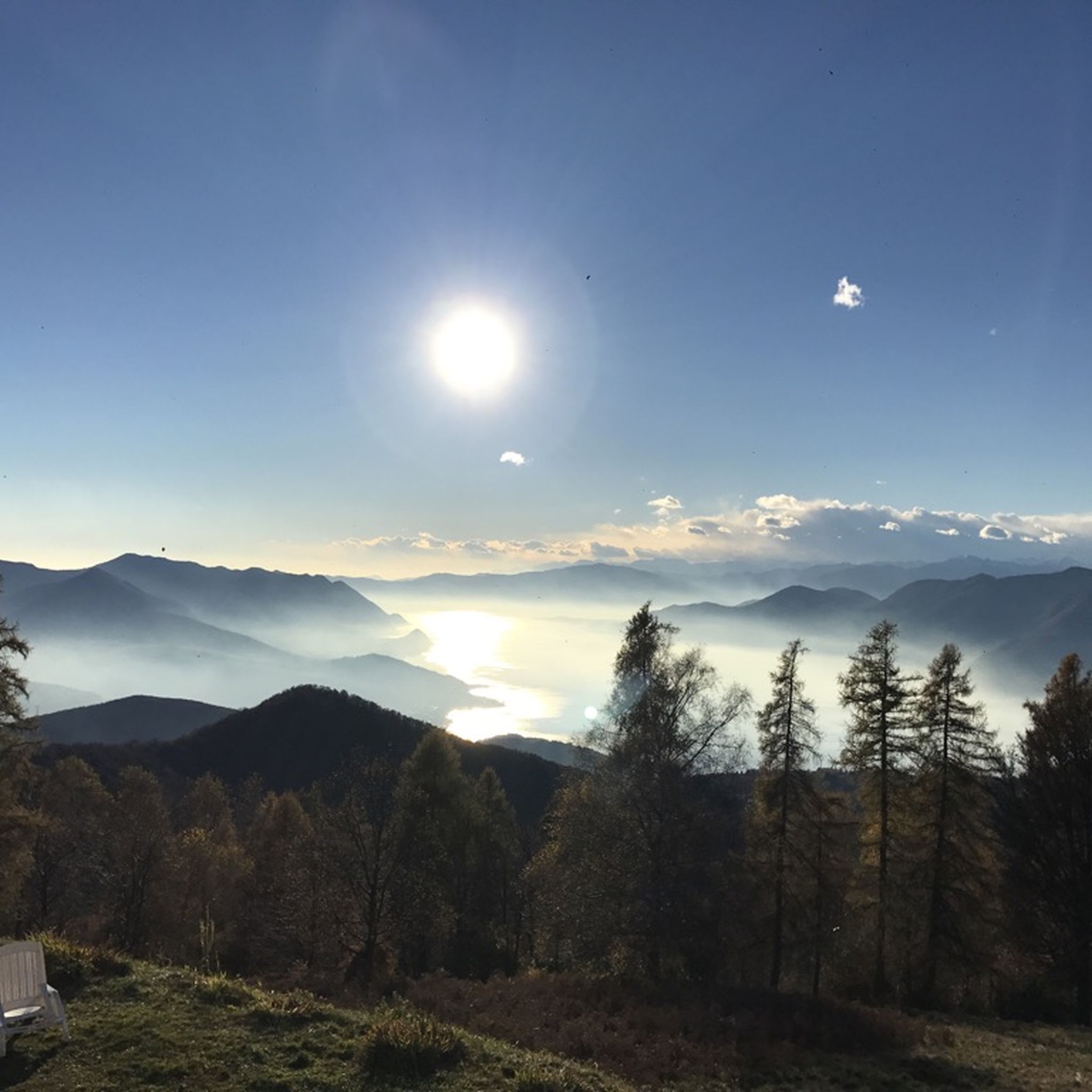

Tips from the Community

scenically very great tour. Top Top Top
0
0

Nice and cozy restaurant on the summit
8
0
Trips every 30 minutes
8
0

It's definitely tiring but the view makes up for the effort, if you want there's a cable car from Miglieglia😁
0
0

Here you take the mountain bike train up Monte Lema. Then you ride the mountain bike down to Italy and then back to Agno.
0
0

Pleasant. Be very careful when cutting through the woods or taking the short route. The gentlest route, starting from Rasa keeping to the right, is suitable for practically everyone.
0
0

Wonderful view, highly recommended 🌞👍
0
0
Frequently Asked Questions
What kind of terrain can I expect on mountaineering routes around Marchirolo?
The mountaineering routes around Marchirolo traverse diverse terrain, including hilly landscapes, rich natural woodlands, and historical fortifications. You'll find paths leading through beech forests, along old military roads, and comfortable carriage roads, often with significant elevation gains. The area is known for its challenging mountain environments, with some routes requiring good fitness and even alpine experience.
Are there any family-friendly mountaineering options in Marchirolo?
While many routes in Marchirolo can be challenging, there are options suitable for families with good fitness. For instance, the Monte San Salvatore – Puntobelvedere loop from Pazzallo is a moderate route that offers scenic views and is manageable for those accustomed to hiking. Always check the route's difficulty and elevation gain to ensure it matches your family's capabilities.
Can I find circular mountaineering routes in the Marchirolo area?
Yes, Marchirolo offers several circular mountaineering routes. A popular choice is the Mountaineering loop from Meride, which takes you through varied terrain. Another option is the Ristorante Ostello Vetta – Monte Lema loop from Miglieglia, a more difficult but rewarding circular path with expansive views.
What are some notable landmarks or viewpoints I can discover along the routes?
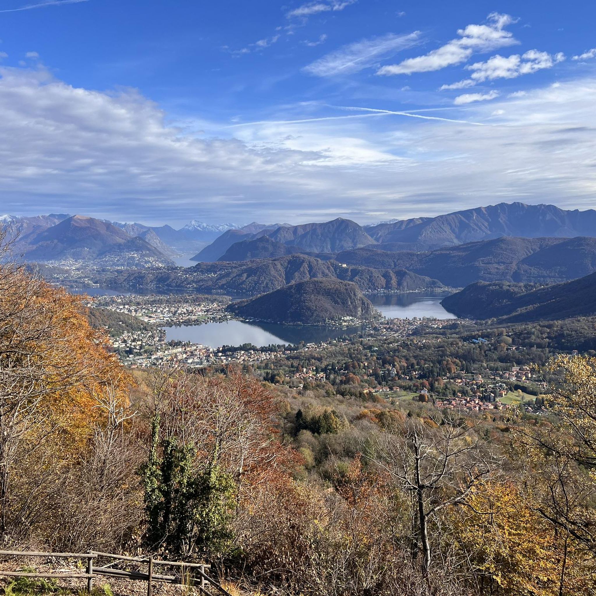
Marchirolo is rich in panoramic viewpoints and historical sites. You can explore the fortifications of the Cadorna Line on Monte La Nave, which also features an underground shelter. From points like the Sass Paradis Viewpoint, you can marvel at Lake Lugano, and the ascent towards the Church of San Paolo also offers beautiful views of the lake. A natural terrace along some routes provides incredible first views of Lake Maggiore. You might also encounter the Rocce Rosse Fortifications (Cadorna Line).
Are there any waterfalls or natural monuments to see near Marchirolo's mountaineering trails?
Yes, the region offers natural attractions beyond the mountain trails. You can visit the Valganna Waterfalls and Caves, which are a notable natural feature in the vicinity. Additionally, the From Mines to Fossils site offers insights into the area's geological history.
What is the best time of year for mountaineering in Marchirolo?
The region's diverse terrain and proximity to lakes make it enjoyable across seasons. While the available information emphasizes strenuous hiking that can require alpine experience, suggesting challenging mountain environments, spring and autumn generally offer pleasant temperatures and vibrant scenery. Summer can be warm, but higher elevations provide cooler air. Winter mountaineering is possible but requires appropriate gear and safety considerations due to potential snow and ice.
How long do mountaineering routes near Marchirolo typically take?
The duration of mountaineering routes varies significantly based on distance and difficulty. For example, the moderate Monte San Salvatore – Puntobelvedere loop from Pazzallo typically takes around 2 hours 20 minutes. More challenging routes, like the difficult Ristorante Ostello Vetta – Monte Lema loop from Miglieglia, can take over 5 hours to complete.
What do other mountaineers enjoy most about the routes in Marchirolo?
The mountaineering routes around Marchirolo are highly rated by the komoot community, with an average score of 5.0 stars. Reviewers often praise the stunning panoramic views of Lake Lugano and Lake Maggiore, the historical significance of sites like the Cadorna Line, and the diverse terrain that includes quiet beech forests and challenging ascents.
Are there any advanced mountaineering routes for experienced hikers?
Yes, Marchirolo offers routes that demand very good fitness and even alpine experience. The Ristorante Ostello Vetta – Monte Lema loop from Miglieglia is classified as difficult, featuring substantial elevation gain and expansive views. Another challenging option is the Via Ferrata San Salvatore – Monte San Salvatore loop from Circolo di Carona, which includes a via ferrata section.
Where can I find parking for mountaineering trails in Marchirolo?
While specific parking locations for each trailhead are not detailed, Marchirolo is a municipality with various access points to its extensive trail network. It is advisable to check the starting points of individual routes on komoot for information on nearby parking facilities, which are often available in or near villages like Pazzallo, Miglieglia, or Meride, depending on your chosen route.
Are there any routes that offer views of the Swiss Alps?
Absolutely. The region's proximity to the Swiss border means that many elevated points offer spectacular views. Trails leading to Monte Sette Termini, for example, provide clear vistas of Lake Lugano and the majestic Swiss Alps in the distance, making for a truly rewarding mountaineering experience.
What is the difficulty level of mountaineering routes around Marchirolo?
The mountaineering routes around Marchirolo cater to various fitness levels. You'll find moderate routes, such as the Monte San Salvatore loop from Lago di Lugano, which are suitable for those with good fitness. There are also more difficult excursions, like the Via Ferrata San Salvatore – Monte San Salvatore loop from Circolo di Carona, demanding very good fitness, sure-footedness, sturdy shoes, and sometimes alpine experience.
Most popular routes around Marchirolo
Most popular attractions around Marchirolo

Get inspired with the komoot mobile app


Explore more
Browse the best Mountain Hikes & Routes in other regions.
