The best road cycling routes around Gießhübl
4.4
(553)
13,269
riders
227
rides
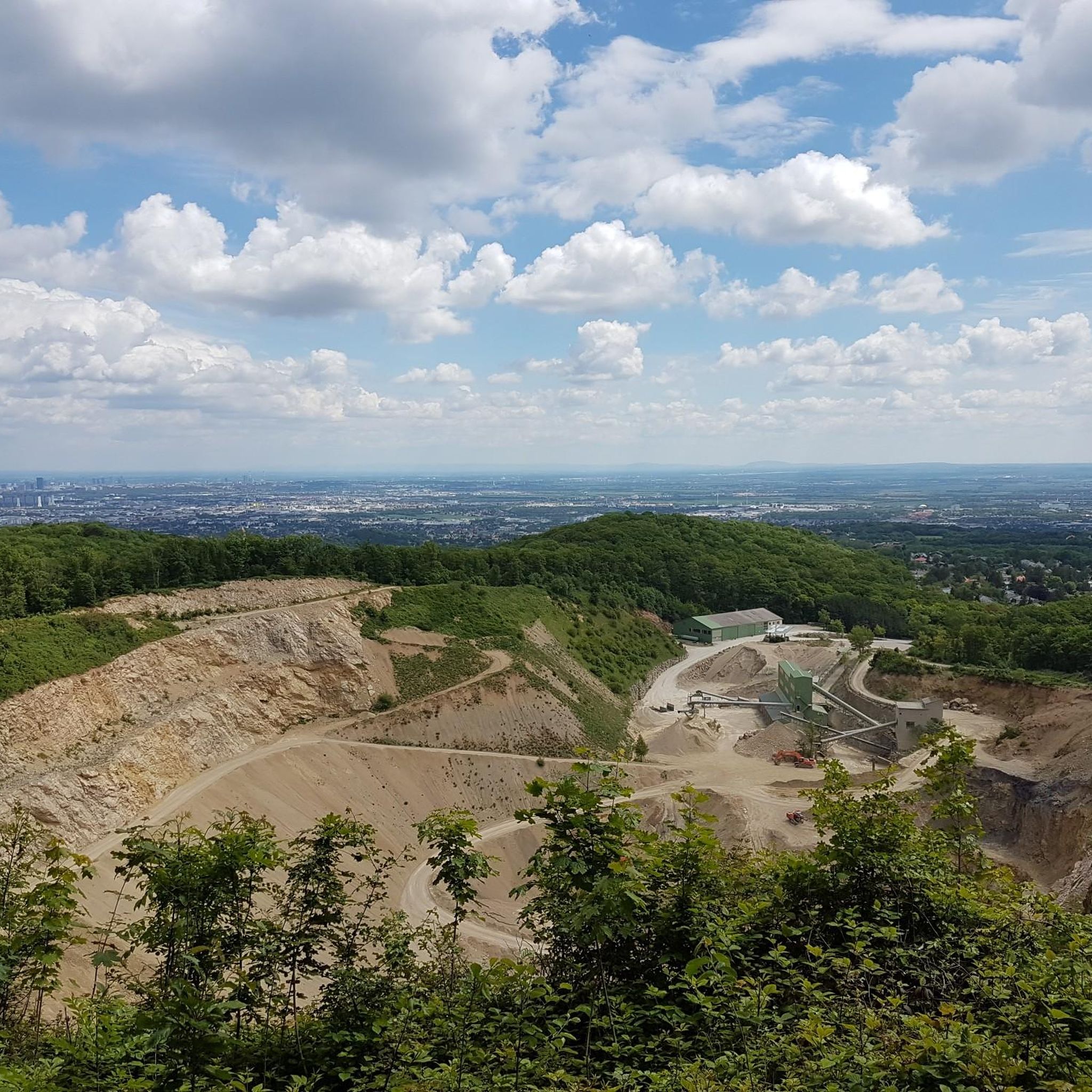
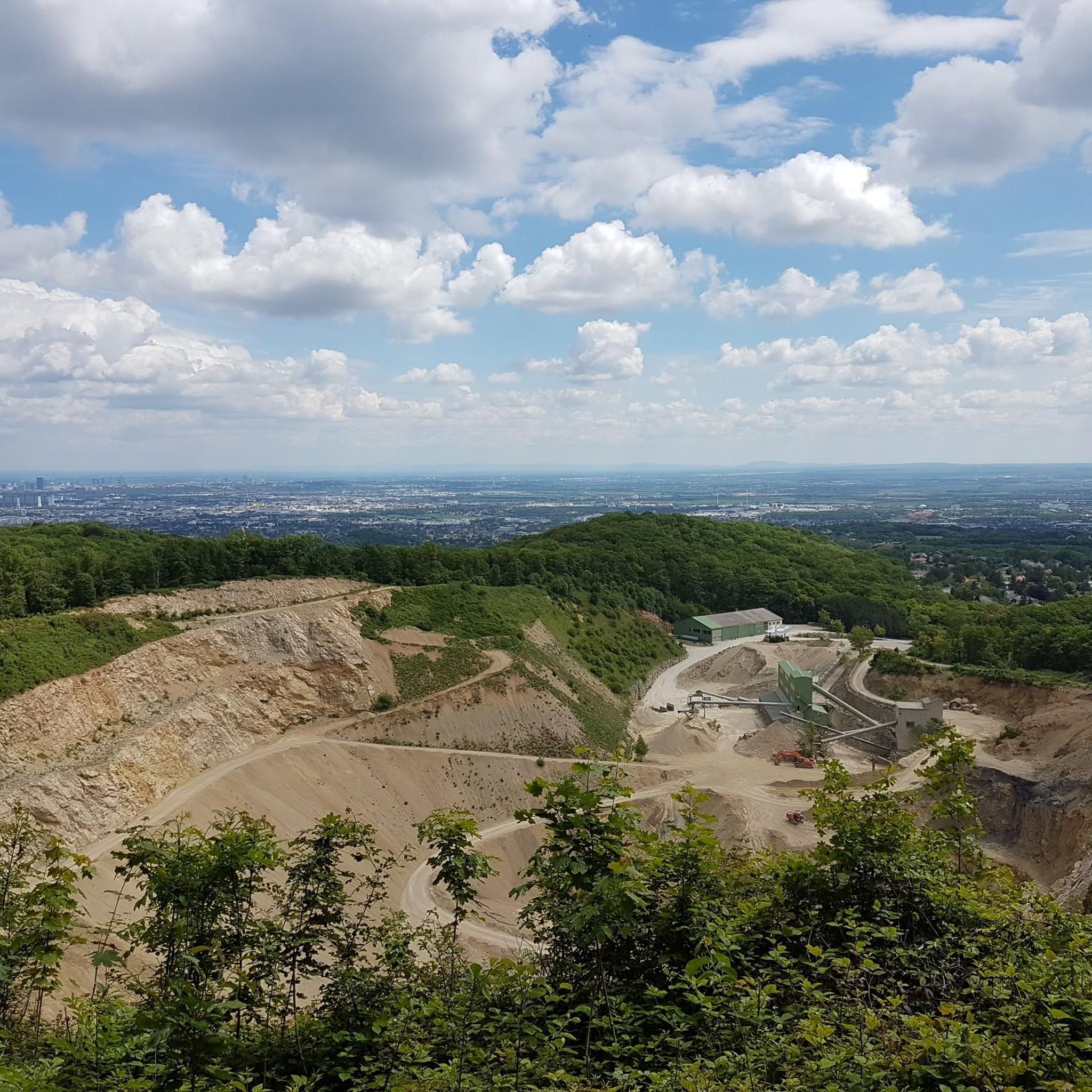
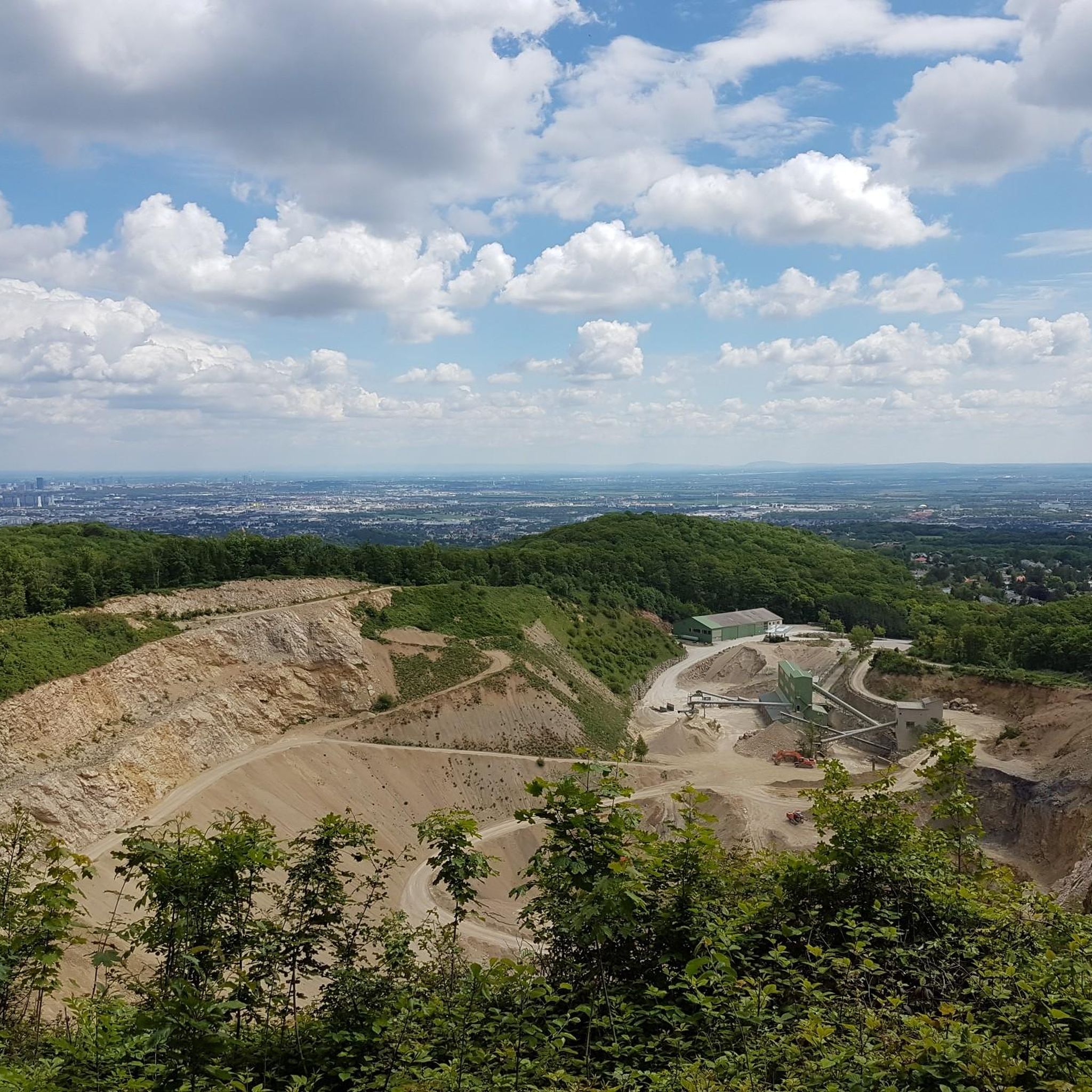
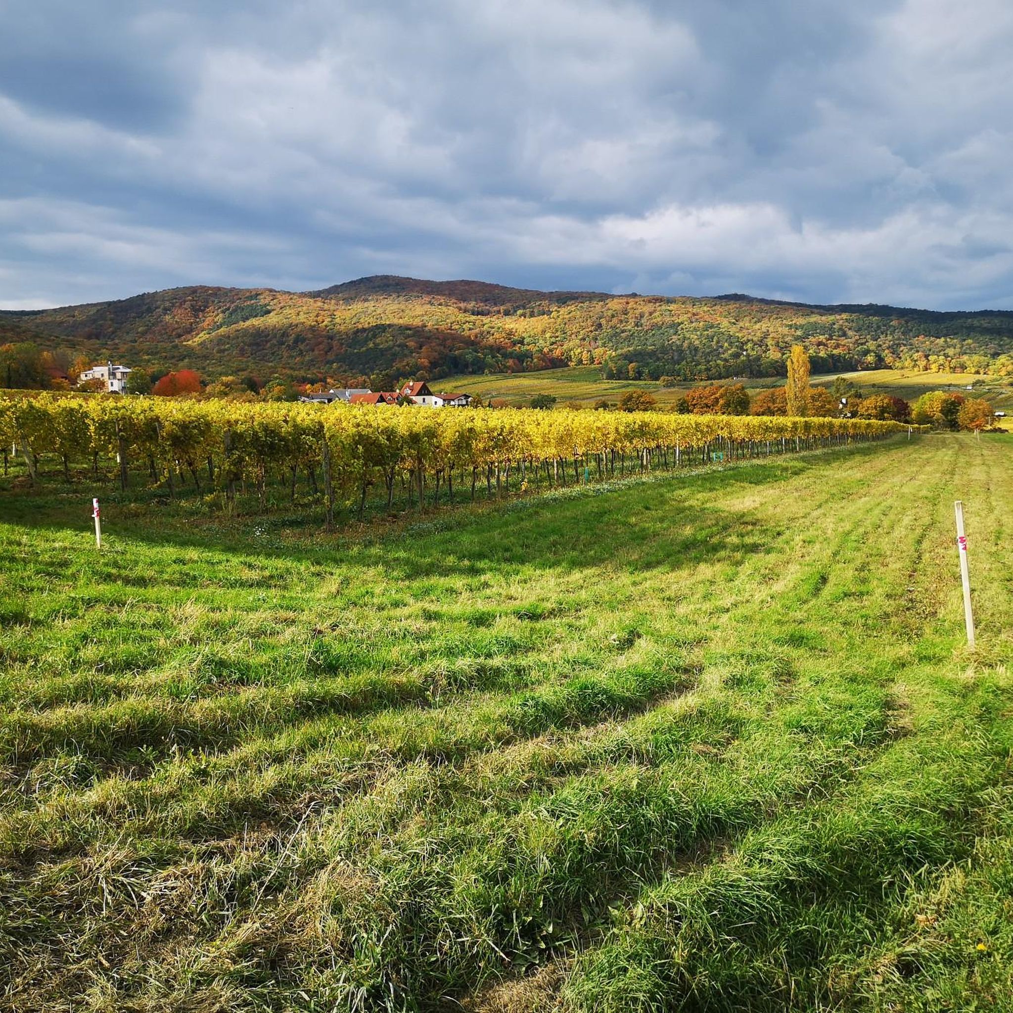
Road cycling routes around Gießhübl offer an elevated and varied terrain south of Vienna, situated at 410-416 meters above sea level. The region is characterized by its position within the Vienna Woods and bordering the Föhrenberge nature reserve, providing a backdrop of dense forests and undulating landscapes. This area features both challenging ascents and rewarding descents, making it suitable for diverse road cycling experiences. The terrain includes forest paths and open views, contributing to a dynamic cycling environment.
Best road cycling routes around Gießhübl
- The most popular road cycling route is Einöde Hill Climb – Panorama Curve loop from Brunn-Maria Enzersdorf, a 27.4 miles (44.2 km) trail that takes 1 hour 59 minutes to complete. This route features a moderate difficulty with notable elevation changes.
- Another top favourite among local road cyclists is Kleiner Semmering Pass – Irenental loop from Brunn-Maria Enzersdorf, a difficult 52.7 miles (84.8 km) path. This route offers significant elevation gain through varied landscapes.
- Local road cyclists also love the Panorama Curve – Maria Raisenmarkt loop from Brunn-Maria Enzersdorf, a 44.0 miles (70.8 km) trail leading through the Vienna Woods, often completed in about 3 hours 19 minutes.
- Road cycling around Gießhübl is defined by its elevated position, dense forests of the Vienna Woods, and the Föhrenberge nature reserve. The network offers options for easy, moderate, and difficult routes, catering to various ability levels.
- The routes in Gießhübl are highly rated by the komoot community with an average score of 4.5 stars from nearly 500 reviews. More than 13,000 road cyclists have used komoot to explore Gießhübl's varied terrain.
Last updated: July 6, 2026
4.3
(26)
548
riders
44.2km
01:59
430m
430m
Moderate road ride. Good fitness required. Mostly well-paved surfaces and easy to ride.
4.6
(9)
486
riders
62.4km
02:53
740m
740m
Moderate road ride. Good fitness required. Mostly well-paved surfaces and easy to ride.

Sign up for free
139
riders
84.8km
04:00
1,110m
1,110m
Hard road ride. Very good fitness required. Some segments of this route may be unpaved and difficult to ride.
5.0
(2)
72
riders
70.8km
03:20
870m
870m
Moderate road ride. Good fitness required. Mostly well-paved surfaces and easy to ride.
4.8
(4)
76
riders
Hard road ride. Great for any fitness level. You may need to push your bike for some segments of this route.
Get access to more routes and recommendations from other explorers.
Sign up for free
Already have an account?
Our route recommendations are based on thousands of hikes, rides, and runs completed by other people on komoot.
Start today with a free account
Your next adventure awaits.
Login or Signup
Tips from the Community

As early as 1650, 3 crosses stood on the small plateau above Gaadener Straße, in memory of the Calvary in Jerusalem. In 1670, some Viennese citizens then erected a chapel on this spot, known as Bergl or Schneiderbergl, in honor of the Crucified, and in 1671, Abbot Klemens Schäffer had a hermit's hut built next to it. During the Turkish invasion in 1683, the so-called "Berglkapelle" was destroyed, but it was rebuilt just 2 years later with donations from Viennese citizens. In 1728, the "Kirchl auf dem Schneiderbergl" was repaired by the master carpenter from Heiligenkreuz, Aegidius Bauer; a staircase to the mountain is also mentioned. Thus, it can be assumed that the later staircase construction is connected to it.
0
0
The magnificent baroque Stations of the Cross with the 13 chapels of the stations and the main chapel of the 12th station were built between 1731 and 1748. The initiator and builder was Abbot Robert Leeb, who had this Stations of the Cross created in memory of his pilgrimage to the Holy Land. As a young priest, Abbot Robert had seen the real Stations of the Cross in Jerusalem in 1719 and had walked it himself with great emotion. In 1729, he now considered the plan to create a Stations of the Cross in Heiligenkreuz based on the model in Jerusalem. Building permission was granted to him in 1731 by a declaration from Pope Clement XII. https://www.stift-heiligenkreuz.org/sehenswuerdigkeiten/der-barocke-kreuzweg/
0
0
As early as 1650, 3 crosses stood on the small plateau above Gaadener Straße, in memory of the Calvary in Jerusalem. In 1670, some Viennese citizens then erected a chapel on this spot, the so-called Bergl or Schneiderbergl, in honor of the Crucified, and in 1671 Abbot Klemens Schäffer had a hermit's house built next to it. During the Turkish invasion in 1683, the so-called "Berglkapelle" was destroyed, but already 2 years later it was rebuilt from donations by Viennese citizens. In 1728, the "Kirchl auf dem Schneiderbergl" was repaired by the Heiligenkreuz master carpenter Aegidius Bauer, and a staircase to the mountain is also mentioned. Thus, one can assume that the later staircase connects to it.
0
0

The installation consists of several expressively designed figure groups (Jesus; angel with the chalice of suffering; group of sleeping apostles), placed scattered on a hill. "Sleeping apostles at the foot of the hill (Peter, John, and James the Greater), Christ with the angel on the summit."
1
0
The Kleine Semmering is the watershed between Wienfluss and Liesingbach.
1
0

The route is good to ride, but relatively busy with traffic
0
0

really nice place, worth a visit
0
0
this is really beautiful here
0
0
Frequently Asked Questions
How many road cycling routes are available in Gießhübl?
Gießhübl offers a wide selection of road cycling routes, with over 230 tours available. This includes 48 easy, 123 moderate, and 59 difficult routes, catering to various skill levels.
What kind of terrain can I expect on road cycling routes around Gießhübl?
The region around Gießhübl is characterized by its elevated position within the Vienna Woods and bordering the Föhrenberge nature reserve. You can expect undulating landscapes with both challenging ascents and rewarding descents, often through dense forests and offering open views. The terrain is primarily suited for road cycling, though some areas might offer mixed-surface options.
Are there challenging road cycling routes with significant elevation gain in Gießhübl?
Yes, Gießhübl's elevated position ensures routes with notable elevation changes. For instance, the Kleiner Semmering Pass – Irenental loop from Brunn-Maria Enzersdorf is a difficult 52.7-mile (84.8 km) route with over 1100 meters of elevation gain, offering a substantial challenge.
What natural features or landmarks can I see while road cycling in Gießhübl?
While cycling, you'll be immersed in the Föhrenberge nature reserve and Vienna Woods biosphere. Notable natural features include the Gießhübler Kuhheide, a protected dry grassland. You might also encounter highlights such as the Liechtenstein Castle or the unique rock formations like Matterhörndl. The region is also known for its charming wine village character.
Are there any viewpoints along the road cycling routes in Gießhübl?
Yes, the elevated terrain of Gießhübl provides several opportunities for scenic views. While not directly on all cycling routes, the nearby Höllensteinhaus offers a popular viewing platform with expansive vistas, and other outlook points throughout the area provide magnificent views of the surrounding landscapes.
Are there family-friendly road cycling routes in Gießhübl?
While many routes feature significant elevation, there are easier options available. With 48 easy routes, families can find suitable paths to enjoy road cycling together, focusing on less strenuous sections within the scenic Vienna Woods.
Can I find circular road cycling routes in Gießhübl?
Many of the road cycling routes in Gießhübl are designed as loops, allowing you to start and end at the same point. An example is the Einöde Hill Climb – Panorama Curve loop from Brunn-Maria Enzersdorf, a moderate 27.4-mile (44.2 km) route.
What is the best time of year for road cycling in Gießhübl?
The region's undulating landscape and forest paths are enjoyable throughout the warmer months. Spring and autumn offer pleasant temperatures and beautiful scenery, while summer provides longer daylight hours. Always check local weather conditions before heading out.
Are there cafes or places to stop for refreshments along the road cycling routes?
As Gießhübl is known as the highest wine village in Lower Austria, you can expect to find charming local establishments. Many routes pass through or near villages where you can stop for refreshments, including cafes and traditional pubs, especially in Gießhübl itself and surrounding communities.
What do other road cyclists say about the routes in Gießhübl?
The road cycling routes in Gießhübl are highly rated by the komoot community, with an average score of 4.5 stars from nearly 500 reviews. Over 13,000 road cyclists have explored the varied terrain, often praising the diverse landscapes, challenging climbs, and scenic forest paths.
Are road cycling routes in Gießhübl suitable for cycling with dogs?
While road cycling itself is generally not ideal for dogs to run alongside for long distances, some routes might be suitable for cyclists with dogs in a trailer or basket. However, always consider the dog's well-being, the route's difficulty, and local regulations regarding dogs in nature reserves like Föhrenberge.
Are there parking facilities for road cyclists in Gießhübl?
Gießhübl and its surrounding areas typically offer parking options, especially in the villages or at designated trailheads. It's advisable to check specific starting points for available parking before your ride.
How can I reach Gießhübl by public transport for road cycling?
Gießhübl is situated south of Vienna and is accessible by public transport. You can typically reach the area via bus connections from nearby train stations, such as Mödling or Brunn am Gebirge, which are well-connected to Vienna. Check local transport schedules for the most current information on routes and bike carriage policies.
Most popular routes around Gießhübl
Most popular attractions around Gießhübl

Get inspired with the komoot mobile app


Explore more
Browse the best Road cycling routes in other regions.
